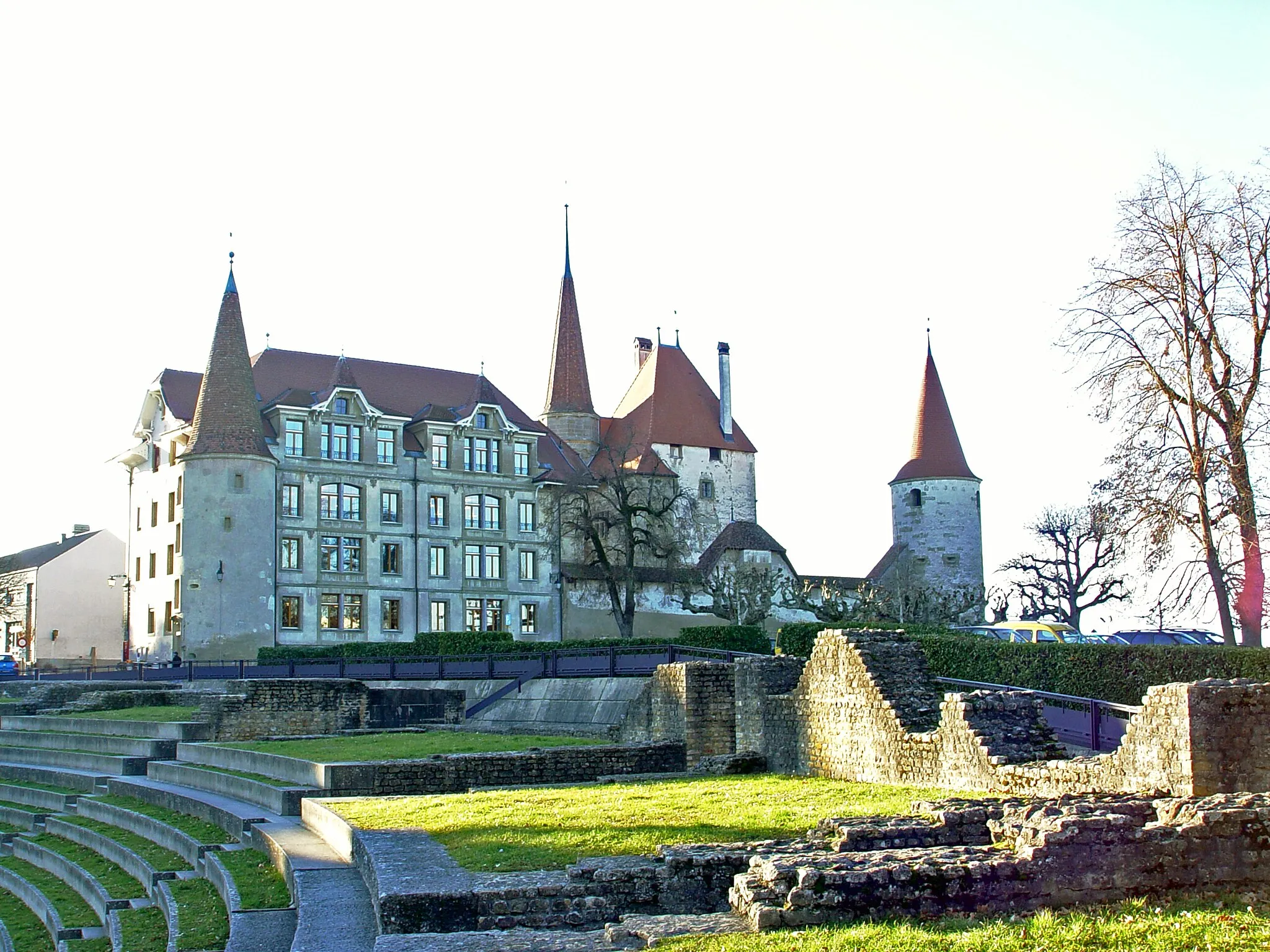
Cycle through Beauty in Provence-Alpes-Côte d’Azur
Cycling routes from Belgentier
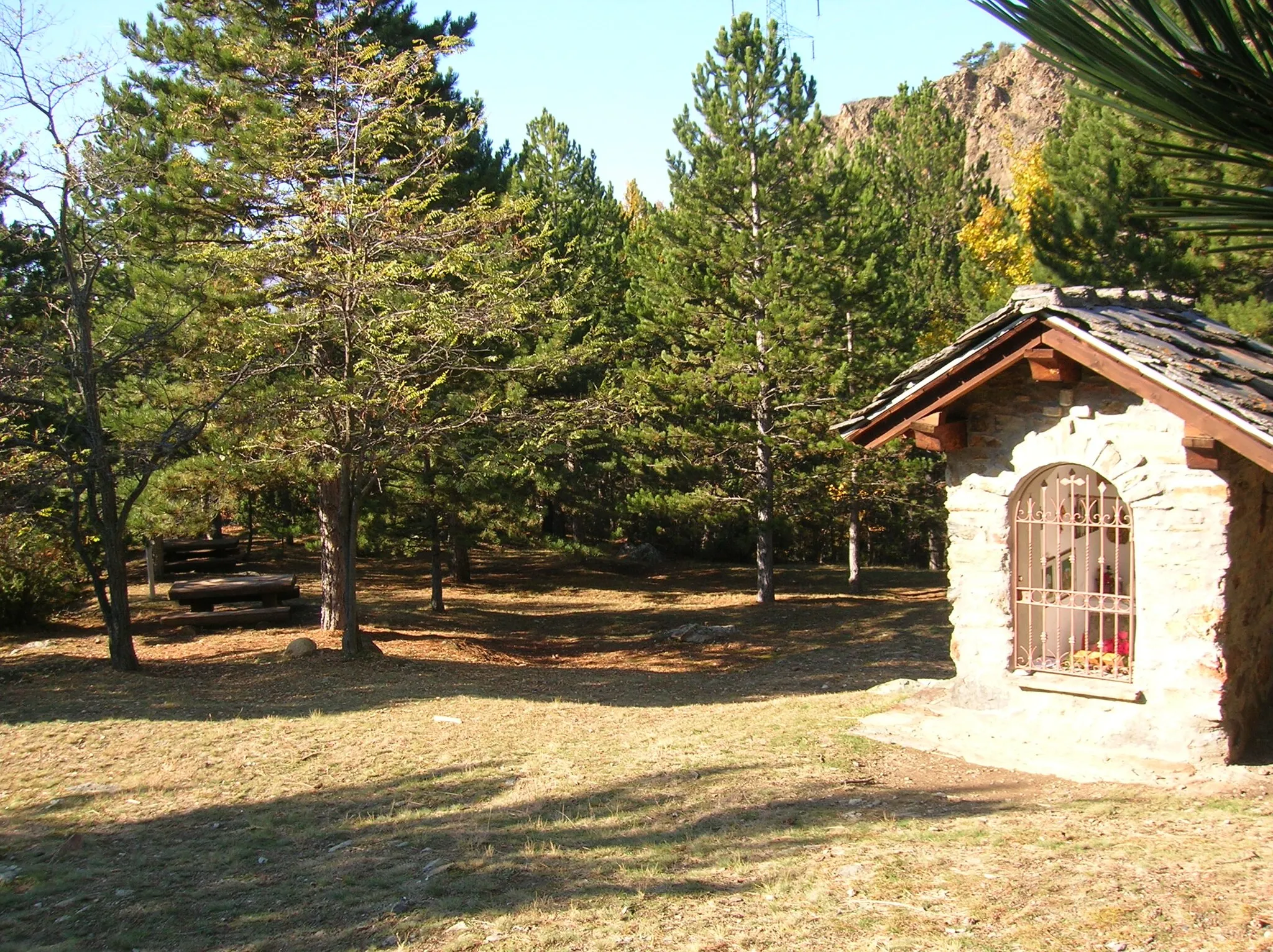
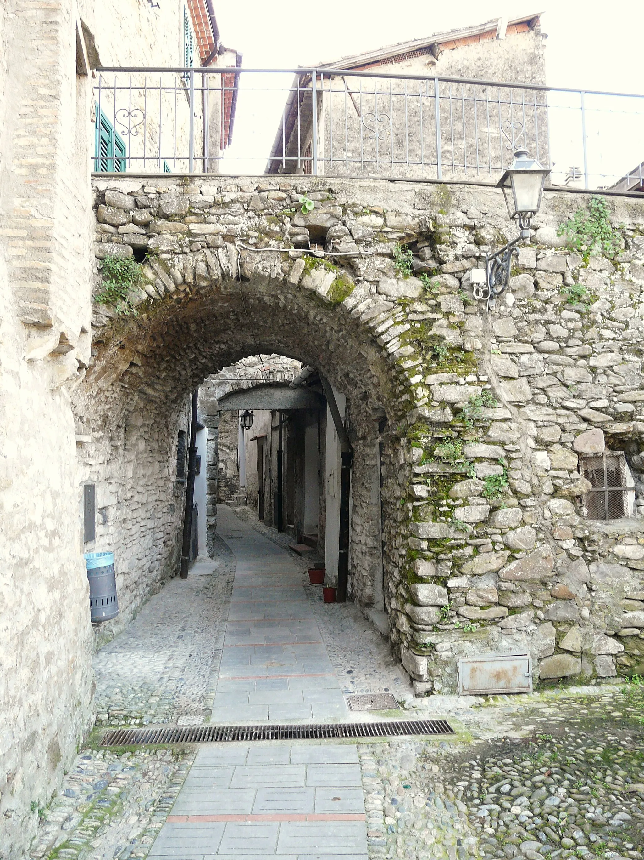
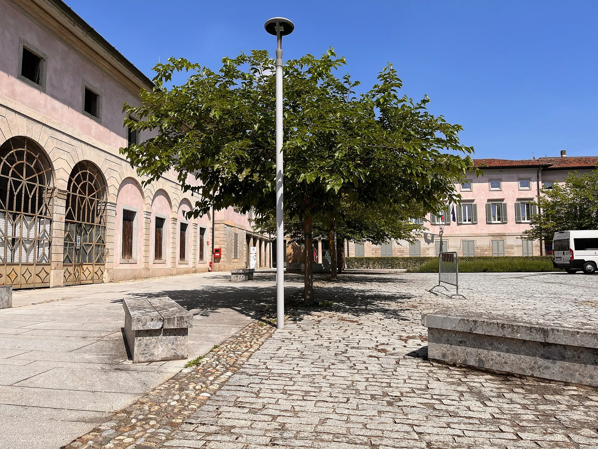
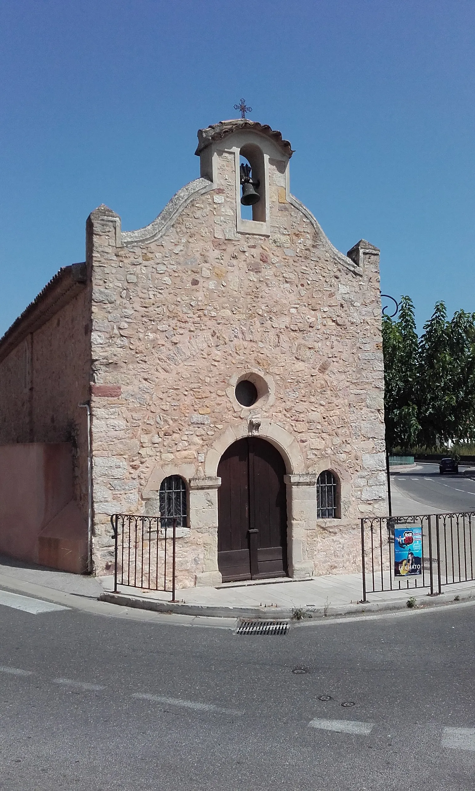
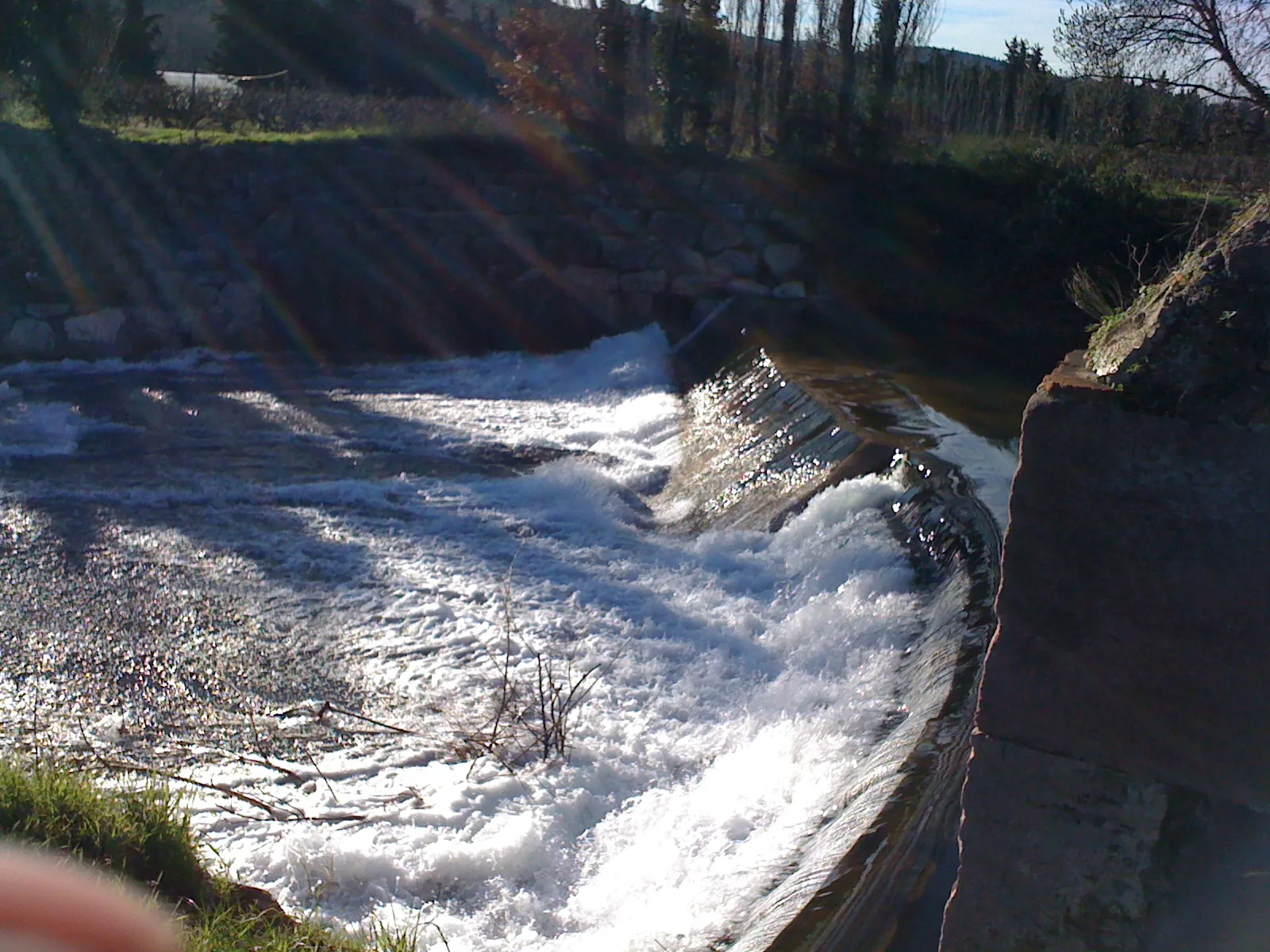
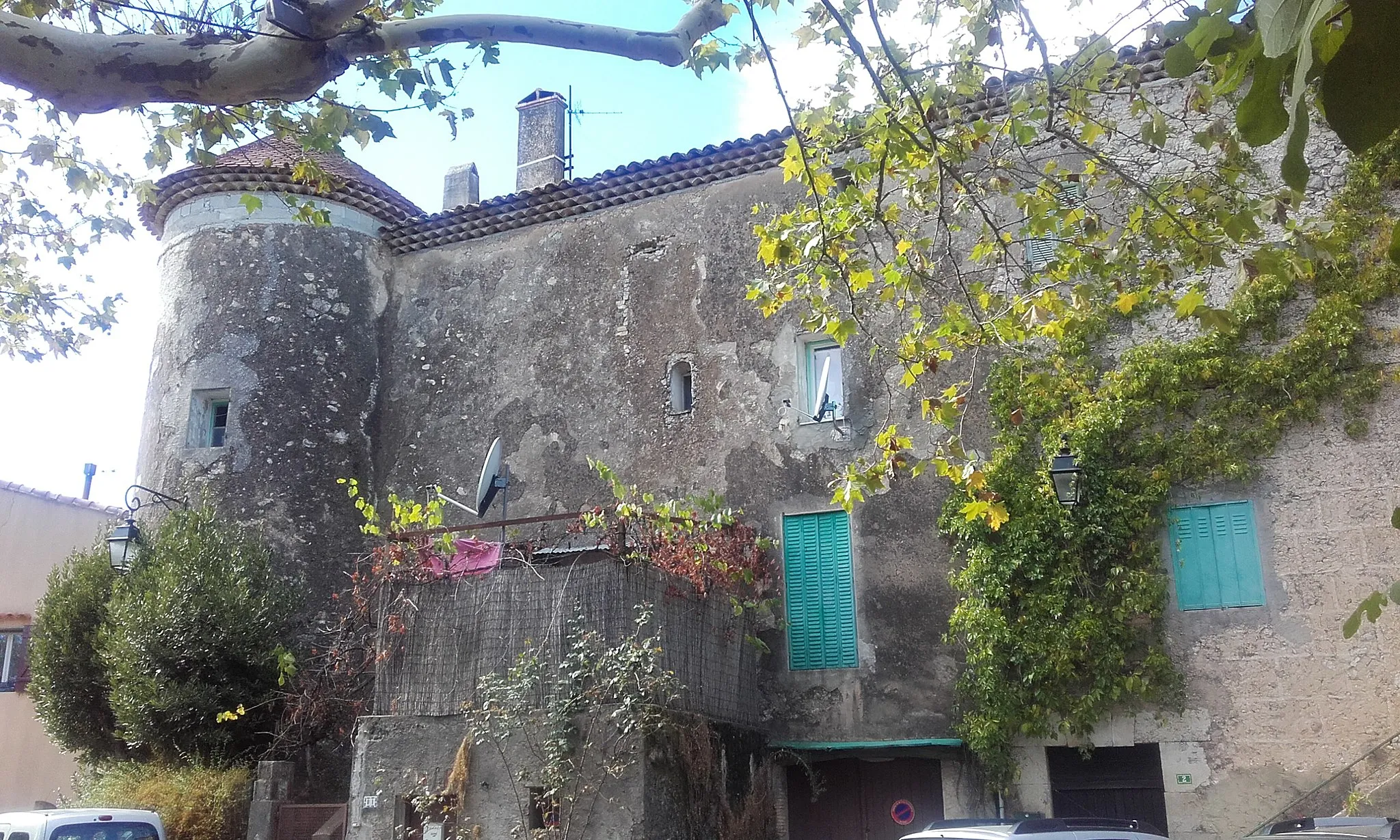
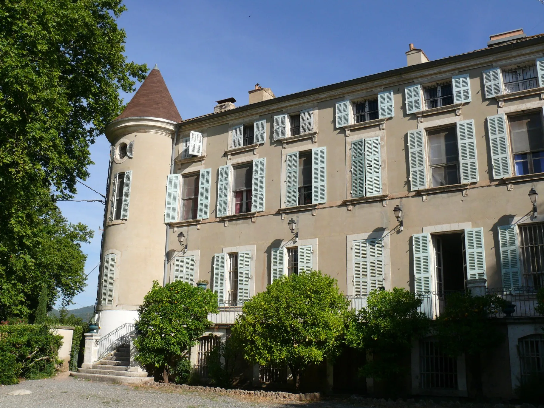
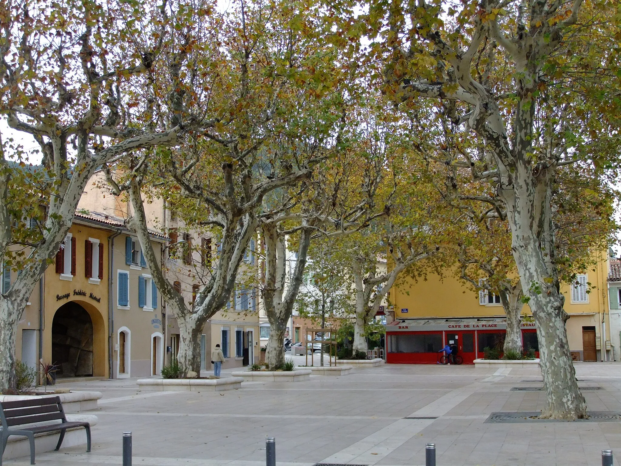
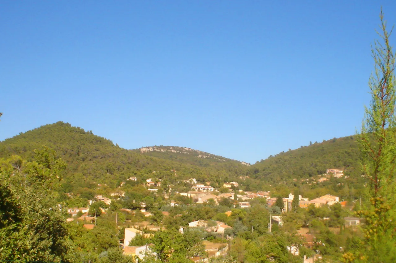
Belgentier is a charming locality located in the Provence-Alpes-Côte d’Azur region of France. As a cyclist, Belgentier offers a mix of flat and hilly terrain, providing options for both leisurely rides and challenging climbs. The area is surrounded by tranquil countryside and picturesque villages, making it an ideal destination for road and gravel cyclists. Belgentier is located near the Col de Signes, a famous climb that attracts cyclists from all over the world. With its scenic routes and cycling-friendly atmosphere, Belgentier is a delightful locality for cyclists of all skill levels.

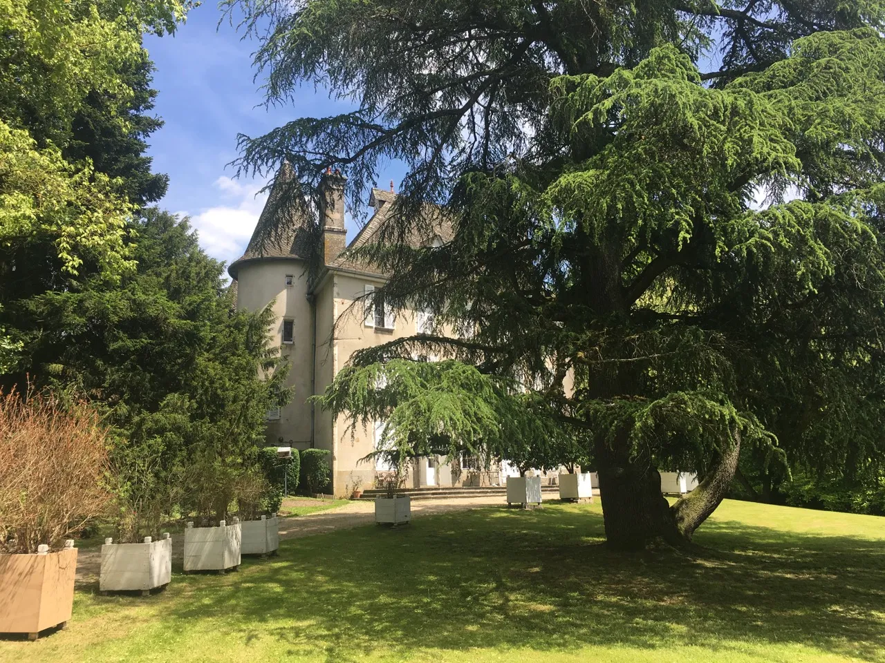
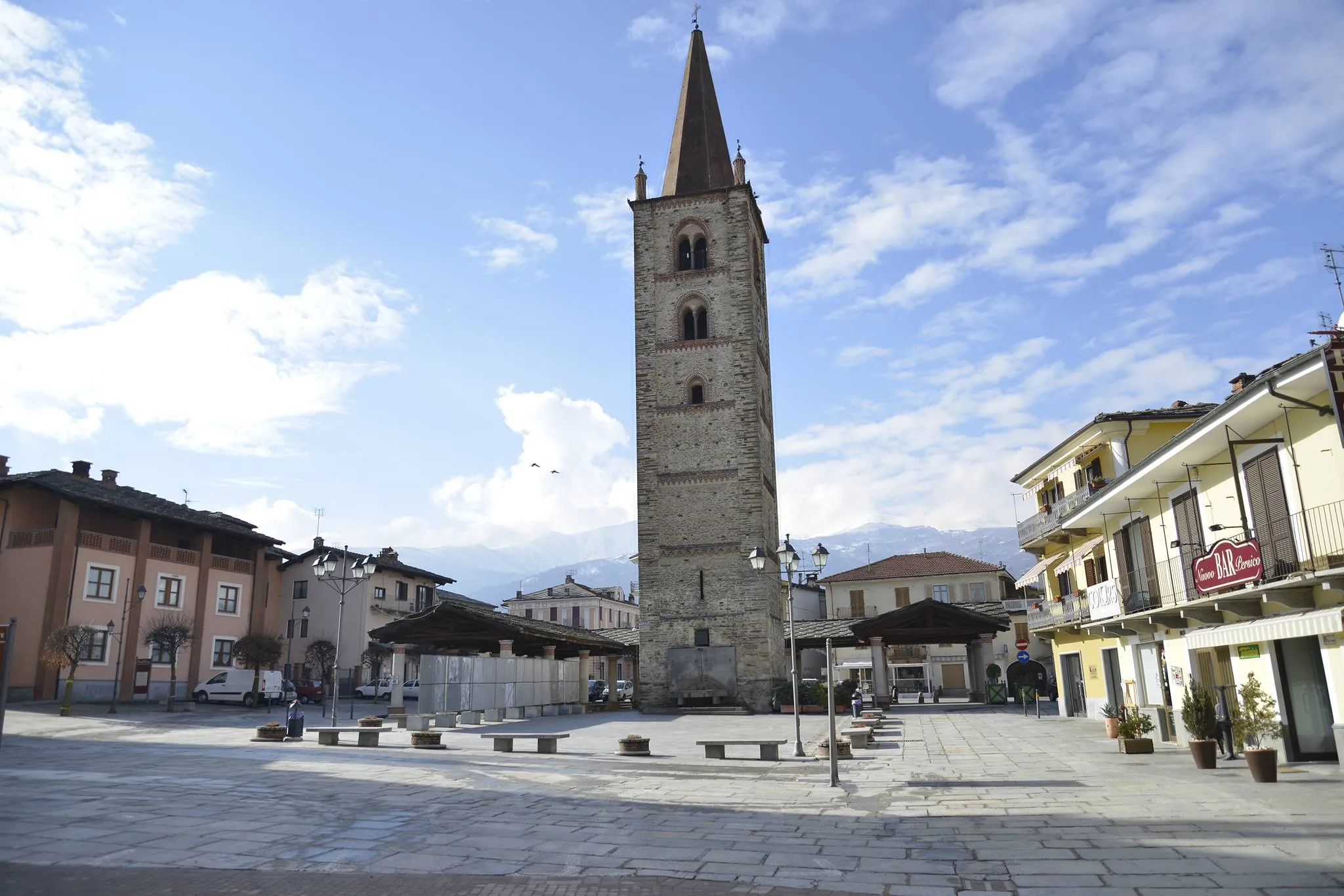
Discover the charming villages and scenic beauty of Provence-Alpes-Côte d’Azur
Embark on a picturesque journey from Belgentier to Solliès-Toucas and be captivated by the stunning landscapes and quaint towns of Provence-Alpes-Côte d’Azur. This moderate route covers a distance of 70 km with an ascent of 633m, making it a perfect choice for well-trained amateur cyclists. On your way, you'll pass through the highlights of Peynier, Perremenguier, Besse-sur-Issole, Pignans, Peigros, and Solliès-Toucas. From rolling hills to charming provincial architecture, this route has something to offer for everyone. Explore the enchanting scenery and soak in the authentic Provencal atmosphere.

Experience the charm of Provencal villages on this cycling route near Belgentier
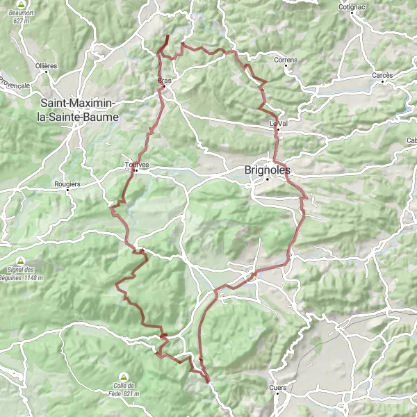
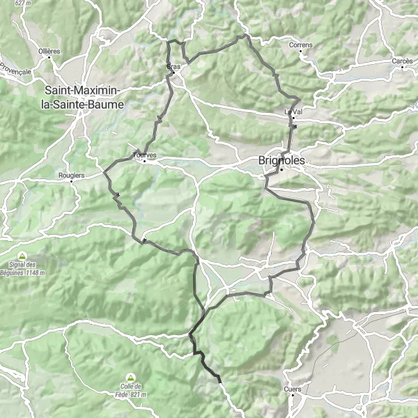
This round-trip cycling route starting near Belgentier takes you through picturesque Provençal villages, offering a true taste of the region's charm. The route spans a total distance of 123 kilometers and includes a challenging ascent of 1302 meters. With highlights such as Belgentier, Le Capucin, and Sillans-la-Cascade along the way, this route is perfect for cyclists who enjoy exploring the cultural and natural beauty of the Provence-Alpes-Côte d’Azur region.
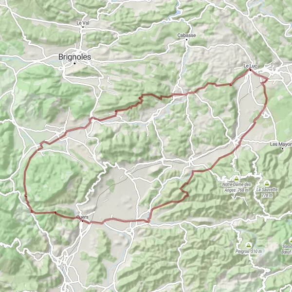
Belgentier to Cuers Loop

Experience the vibrant landscapes of Provence-Alpes-Côte d’Azur along this road cycling route
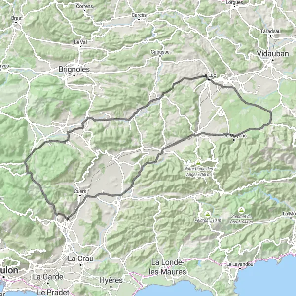
Embark on an exhilarating road cycling adventure from Belgentier to Cuers and be mesmerized by the picturesque landscapes and lively towns of Provence-Alpes-Côte d’Azur. This moderate route spans a distance of 63 km with an ascent of 502m, offering a delightful experience for well-trained amateur cyclists. Along the way, you'll pass through the highlights of Peynier, Perremenguier, Besse-sur-Issole, Collet Long, Carnoules, Cuers, and Solliès-Toucas. Marvel at the scenic beauty of the region, explore charming historic towns, and soak in the authentic Provencal atmosphere. Get ready for an unforgettable cycling experience in one of France's most beautiful regions.
Exploring Natural Gems

Discover natural wonders on this gravel cycling route near Belgentier
Uncover the natural gems in the surroundings of Belgentier on this adventurous gravel cycling route. Spanning a distance of 71 kilometers with an ascent of 1254 meters, this route is perfect for gravel enthusiasts seeking a mix of challenging terrain and picturesque landscapes. Highlights include the panoramic Table d'orientation, the medieval charm of La Valette-du-Var, and the stunning beauty of Sainte-Anne d'Évenos.
Conquer the rugged terrains and embark on the ultimate gravel adventure in Provence-Alpes-Côte d’Azur
Get ready for an adrenaline-filled gravel adventure from Le Sarret to Belgentier in the rugged terrains of Provence-Alpes-Côte d’Azur. This challenging route covers a distance of 102 km with an ascent of 1812m, making it only suitable for experienced and well-trained cyclists. Along the way, you'll encounter highlights such as Le Sarret, Pey Ferrier, Mazaugues, Casteleret, Collet de la Gérade, Collet de Baudusself, Châteauvert, Camps-la-Source, Peynier, and Belgentier. Test your endurance and skills as you navigate through diverse landscapes, conquer steep climbs, and marvel at the scenic beauty of the region. This ultimate gravel adventure promises a truly exhilarating experience that will push your limits and leave you craving for more.

Experience the thrill and beauty of gravel riding through the breathtaking landscapes of Provence
Embark on a challenging gravel adventure that takes you through the stunning countryside of Provence-Alpes-Côte d’Azur. This 72 km round-trip route starting near Belgentier offers a unique opportunity to explore the region's diverse terrain and natural beauty. From rolling hills and picturesque vineyards to enchanting villages and iconic cols, this route has something for every gravel enthusiast. Get ready to conquer over 1,200 meters of ascent as you immerse yourself in the rich history and stunning vistas of this extraordinary region.
Discover the beauty of Provence-Alpes-Côte d’Azur on this stunning road cycling route
Embark on a scenic road cycling journey from Pey Rediaque to Belgentier and revel in the picturesque beauty of the region. This moderate route spans a distance of 96 km with an ascent of 1210m, catering to well-trained amateur cyclists seeking a rewarding experience. As you traverse through highlights such as Pey Rediaque, La Roquebrussanne, Casteleret, Chapelle Sainte-Estève (ruins), Collet de la Gérade, Châteauvert, Brignoles, Forcalqueiret, Peynier, and Belgentier, immerse yourself in the mesmerizing landscapes and charming towns that Provence-Alpes-Côte d’Azur has to offer. Experience the tranquility of the countryside, marvel at the architectural wonders, and relish in the local culture on this unforgettable road cycling adventure.
Countryside Exploration
Immerse in the idyllic countryside on this scenic road cycling route near Belgentier
Embark on a journey through the idyllic countryside near Belgentier on this road cycling route. With a total distance of 101 kilometers and an ascent of 753 meters, this route offers a varied terrain that caters to cyclists of all levels. Highlights include the charming villages of Peynier and Forcalqueiret, as well as the scenic Colle de Belon, offering breathtaking vistas of the surrounding countryside.
Embark on a thrilling gravel adventure through the stunning landscapes of Provence-Alpes-Côte d’Azur
If you're looking for an epic gravel adventure in Provence-Alpes-Côte d’Azur, this route from Peynier to Belgentier is perfect for you. With a challenging ascent of 1430m and a distance of 88 km, this route is recommended for experienced cyclists seeking an adrenaline-pumping ride. Along the way, you'll encounter highlights such as Peynier, Forcalqueiret, Saint-Quinis, Flassans-sur-Issole, Le Luc, Gonfaron, Le Fédon, Collet du Pont Vieux, and Belgentier. Prepare to be in awe of the breathtaking natural beauty, rugged terrain, and charming villages of this region. This gravel adventure is not for the faint of heart, but the thrill and adventure it offers are truly unmatched.

Discover the beauty of nature on this scenic gravel cycling route near Belgentier
Experience the beauty of the natural landscapes surrounding Belgentier on this compact gravel ride. The route covers a distance of 36 kilometers with an ascent of 736 meters, providing a moderate challenge for gravel enthusiasts. Highlights of this route include the village of Peynier and the charming town of Néoules, both showcasing the unique character of Provence-Alpes-Côte d’Azur.
Cycling routes nearby:

Nearby regions: