Countryside Exploration
A road cycling route starting from Belgentier
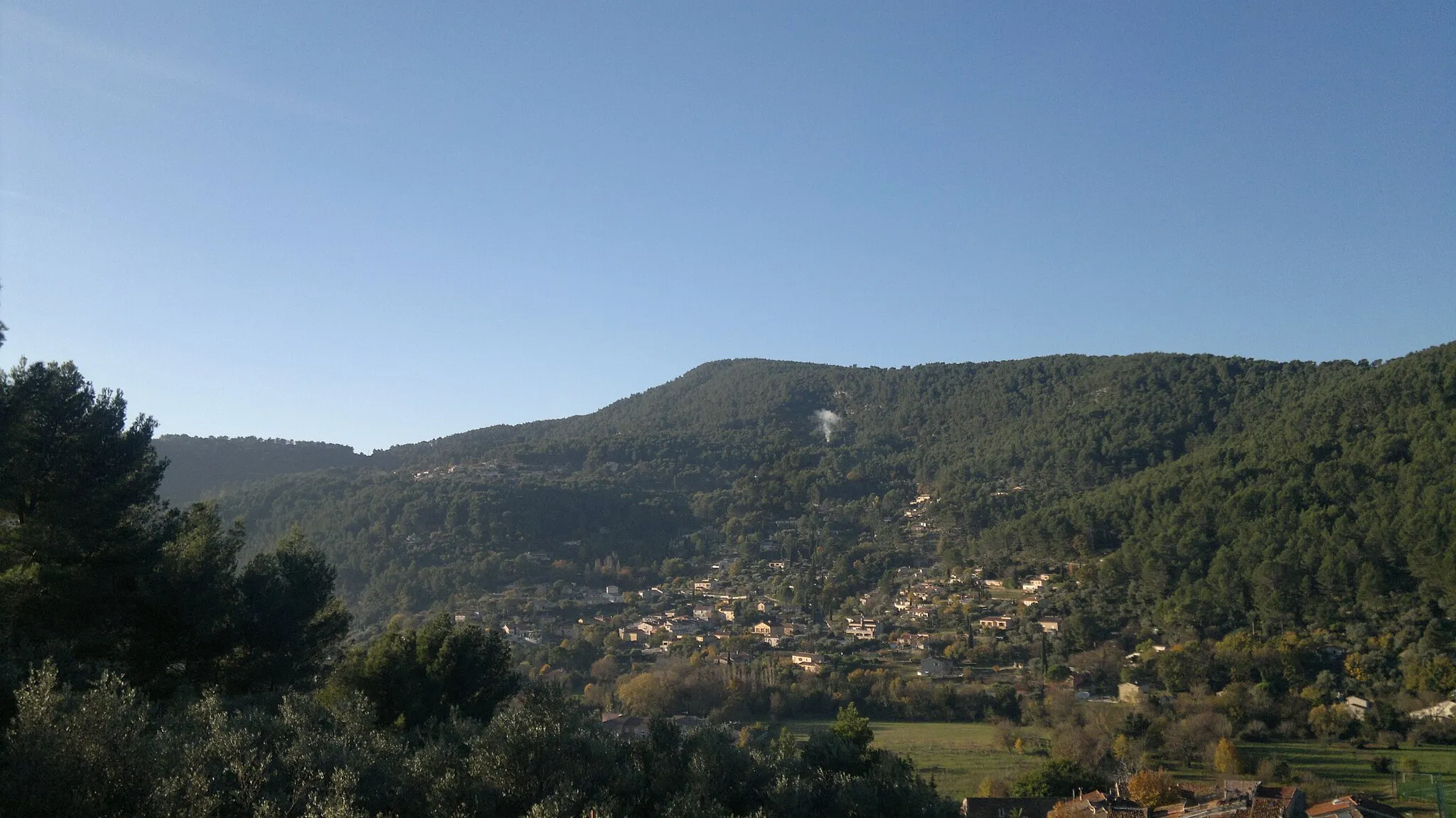
Immerse in the idyllic countryside on this scenic road cycling route near Belgentier
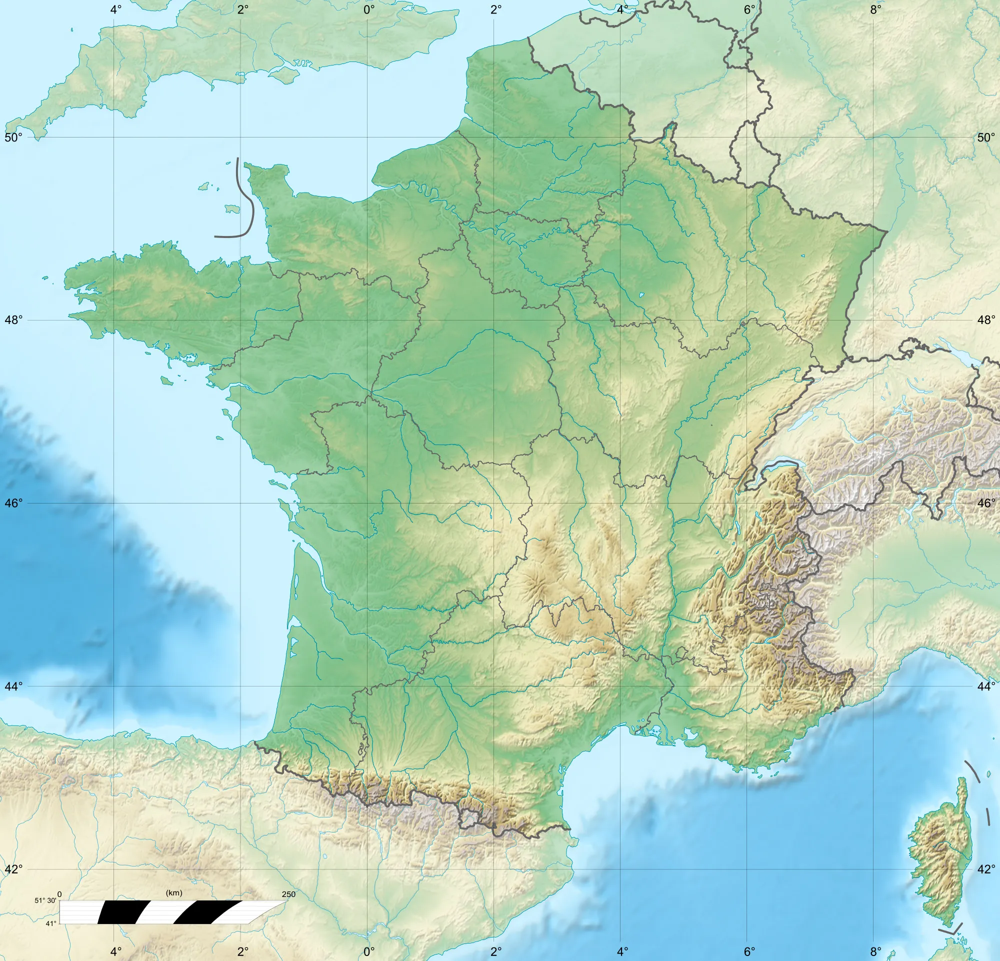
Map
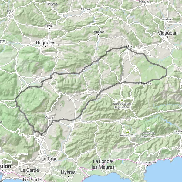
Embark on a journey through the idyllic countryside near Belgentier on this road cycling route. With a total distance of 101 kilometers and an ascent of 753 meters, this route offers a varied terrain that caters to cyclists of all levels. Highlights include the charming villages of Peynier and Forcalqueiret, as well as the scenic Colle de Belon, offering breathtaking vistas of the surrounding countryside.
road
101 km
753 m
Tough
Route profile
Highlights on the route
0 km
0 km
Start: Belgentier Village centerBelgentier: Cycle through Beauty in Provence-Alpes-Côte d’Azur
Belgentier is a charming locality located in the Provence-Alpes-Côte d’Azur region of France. As a cyclist, Belgentier offers a mix of flat and hilly terrain, providing options for both leisurely rides and challenging climbs. The area is surrounded by tranquil countryside and picturesque villages, making it an ideal destination for road and gravel cyclists. Belgentier is located near the Col de Signes, a famous climb that attracts cyclists from all over the world. With its scenic routes and cycling-friendly atmosphere, Belgentier is a delightful locality for cyclists of all skill levels.0 km
0 km
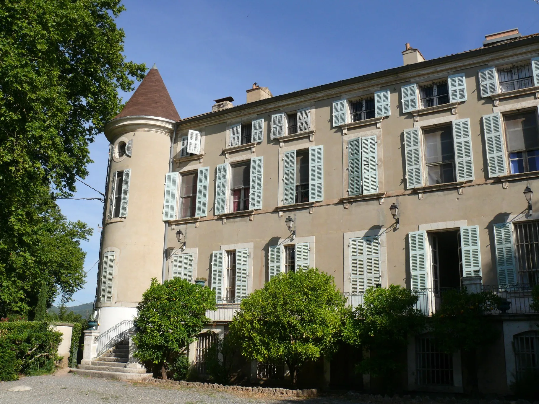
BelgentierVillageBelgentier, the starting and ending point of this route, welcomes cyclists with its serene ambiance and authentic Provençal charm.
10 km
10 km
Peynier478 mPeakPeynier is a delightful village surrounded by rolling hills, perfect for a scenic cycling break with views of picturesque landscapes.
19 km
19 km
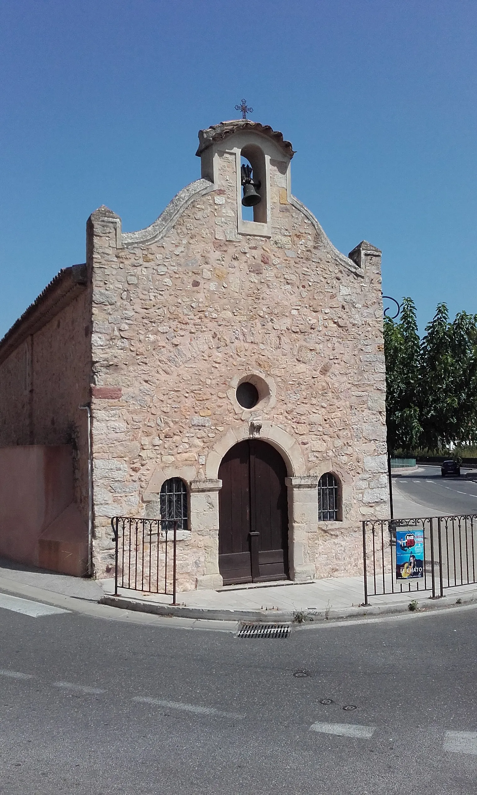
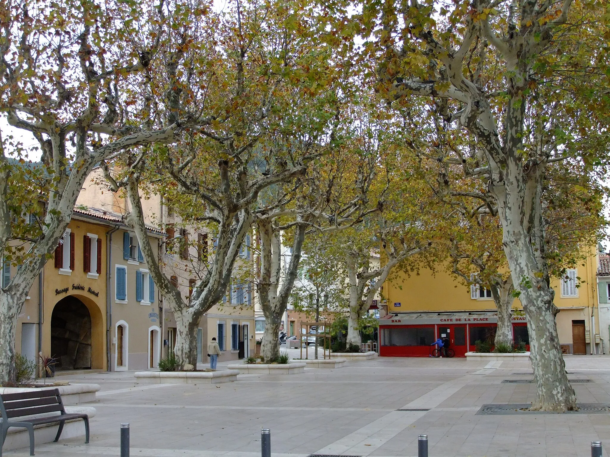
ForcalqueiretVillageForcalqueiret, a historic village nestled amidst vineyards and olive groves, offers a glimpse into the region's rich cultural and agricultural heritage.
30 km
30 km
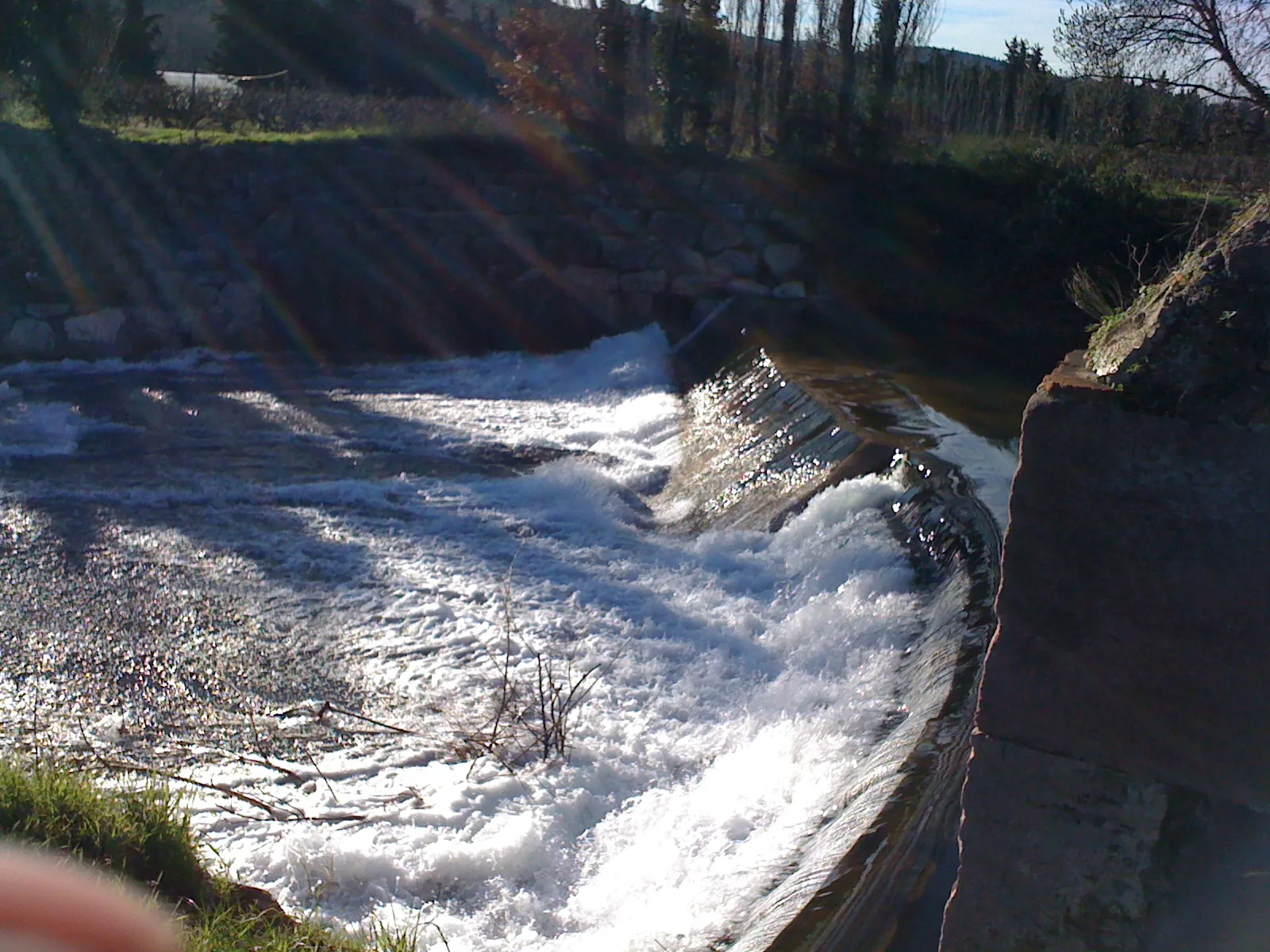
Colle de Belon282 mPeakColle de Belon is a challenging mountain pass that rewards cyclists with stunning panoramic views of the Provençal countryside.
41 km
41 km
Le LucVillageLe Luc is a vibrant town known for its beautifully preserved medieval architecture and vibrant local markets.
60 km
60 km
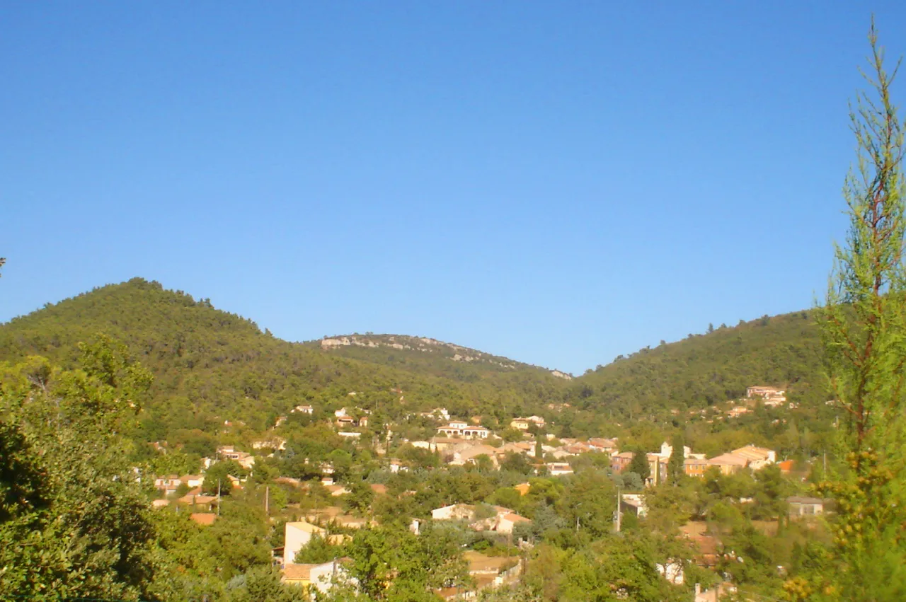
Les MayonsVillageLes Mayons is a small Provençal village surrounded by vineyards and rolling hills, offering a picturesque setting for a cycling adventure.
62 km
62 km
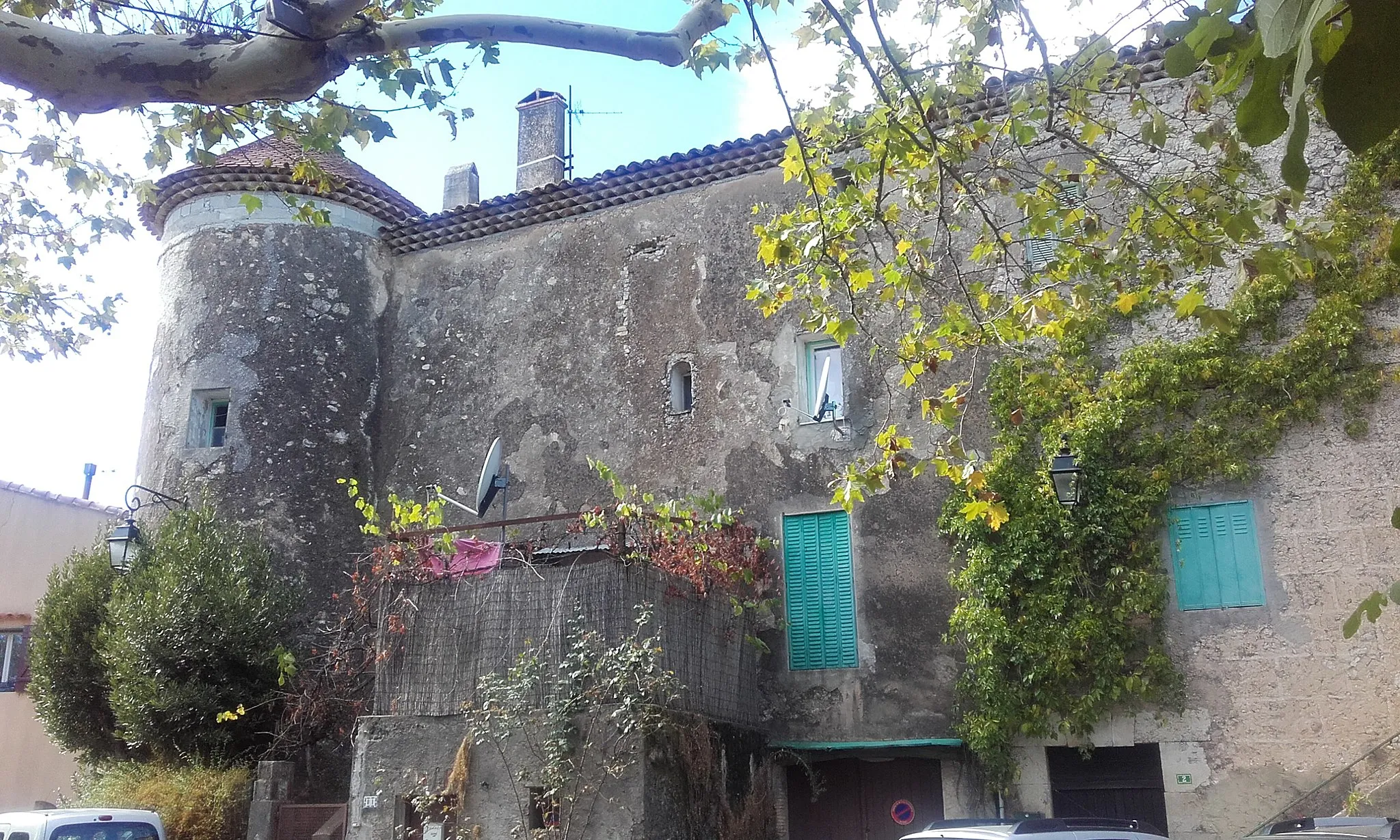
Castel des Maures340 mPeakCastel des Maures is an impressive medieval castle perched on a hilltop, providing panoramic views of the surrounding landscapes.
70 km
70 km
Peilong242 mPeakPeilong is a small hamlet known for its tranquil atmosphere and picturesque countryside scenery, perfect for a peaceful cycling break.
72 km
72 km
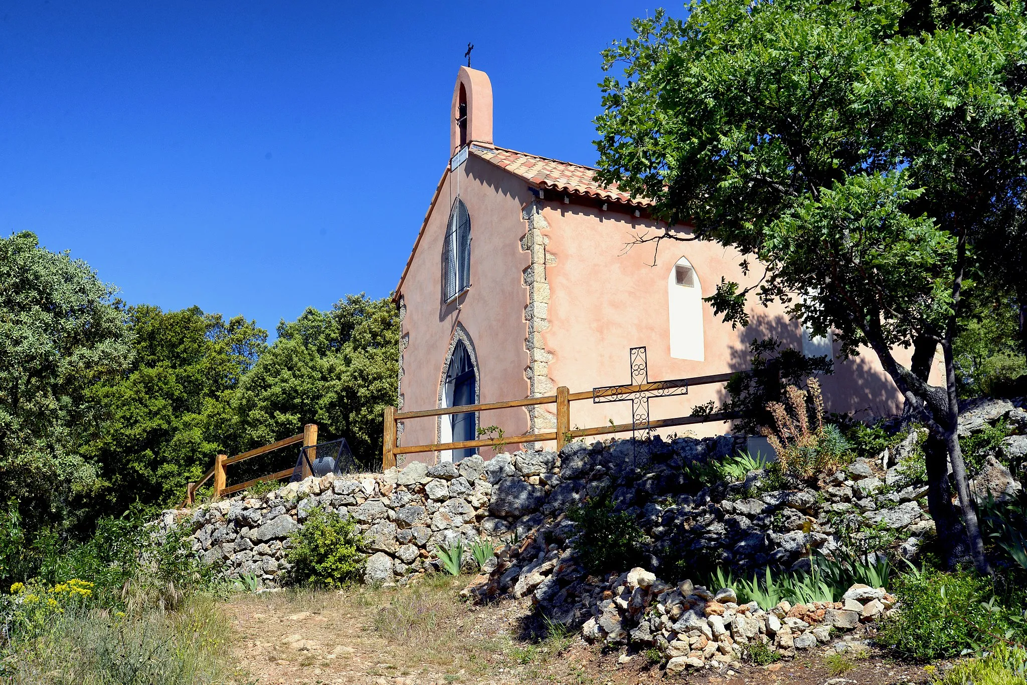
PignansVillagePignans is a traditional Provençal village with narrow streets, historic buildings, and a charming town square, offering a glimpse into the region's past.
80 km
80 km
Peigros230 mPeakPeigros is a quaint Provençal village known for its vineyards and olive groves, offering a scenic backdrop for a relaxing cycling experience.
96 km
96 km
Solliès-ToucasVillageSolliès-Toucas is a peaceful village surrounded by lush greenery and forests, providing a serene and tranquil environment for a cycling adventure.
101 km
101 km
Finish: Belgentier Village centerBelgentier: Cycle through Beauty in Provence-Alpes-Côte d’Azur
Cycling routes from Belgentier:
Ultimate Gravel Adventure: Le Sarret to Belgentier Loop Belgentier to Solliès-Toucas Loop Gravel Adventure: Peynier to Belgentier Route Scenic Gravel Ride Belgentier to Cuers Loop Countryside Exploration Belgentier and Surrounding Villages Scenic Road Cycling: Pey Rediaque to Belgentier Route Gravel Adventure in Provence Exploring Natural Gems
Cycling routes nearby: