Ultimate Gravel Adventure: Le Sarret to Belgentier Loop
A gravel cycling route starting from Belgentier
Conquer the rugged terrains and embark on the ultimate gravel adventure in Provence-Alpes-Côte d’Azur
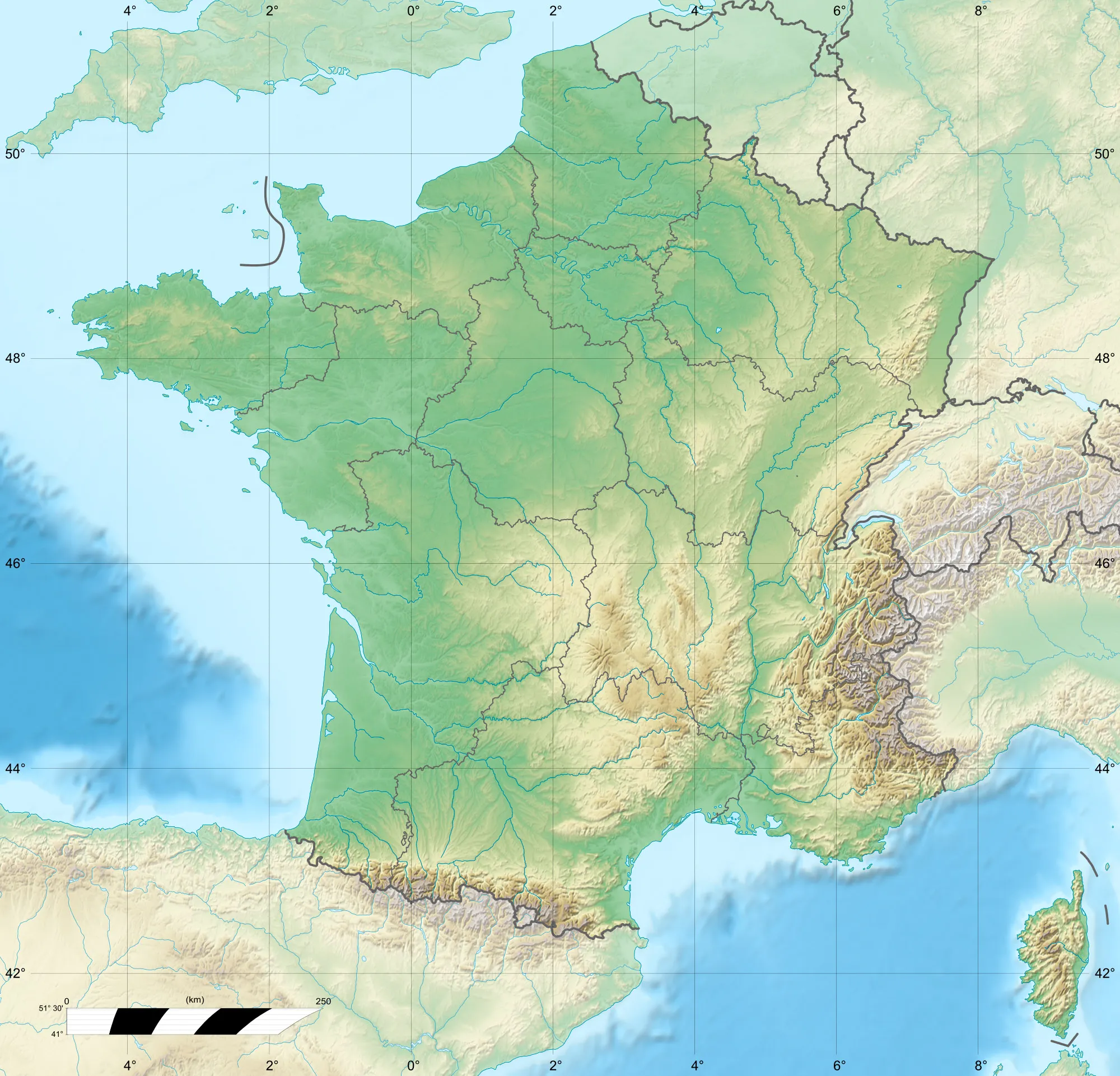
Map
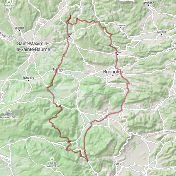
Get ready for an adrenaline-filled gravel adventure from Le Sarret to Belgentier in the rugged terrains of Provence-Alpes-Côte d’Azur. This challenging route covers a distance of 102 km with an ascent of 1812m, making it only suitable for experienced and well-trained cyclists. Along the way, you'll encounter highlights such as Le Sarret, Pey Ferrier, Mazaugues, Casteleret, Collet de la Gérade, Collet de Baudusself, Châteauvert, Camps-la-Source, Peynier, and Belgentier. Test your endurance and skills as you navigate through diverse landscapes, conquer steep climbs, and marvel at the scenic beauty of the region. This ultimate gravel adventure promises a truly exhilarating experience that will push your limits and leave you craving for more.
gravel
102 km
1812 m
Savage
Route profile
Highlights on the route
0 km
0 km
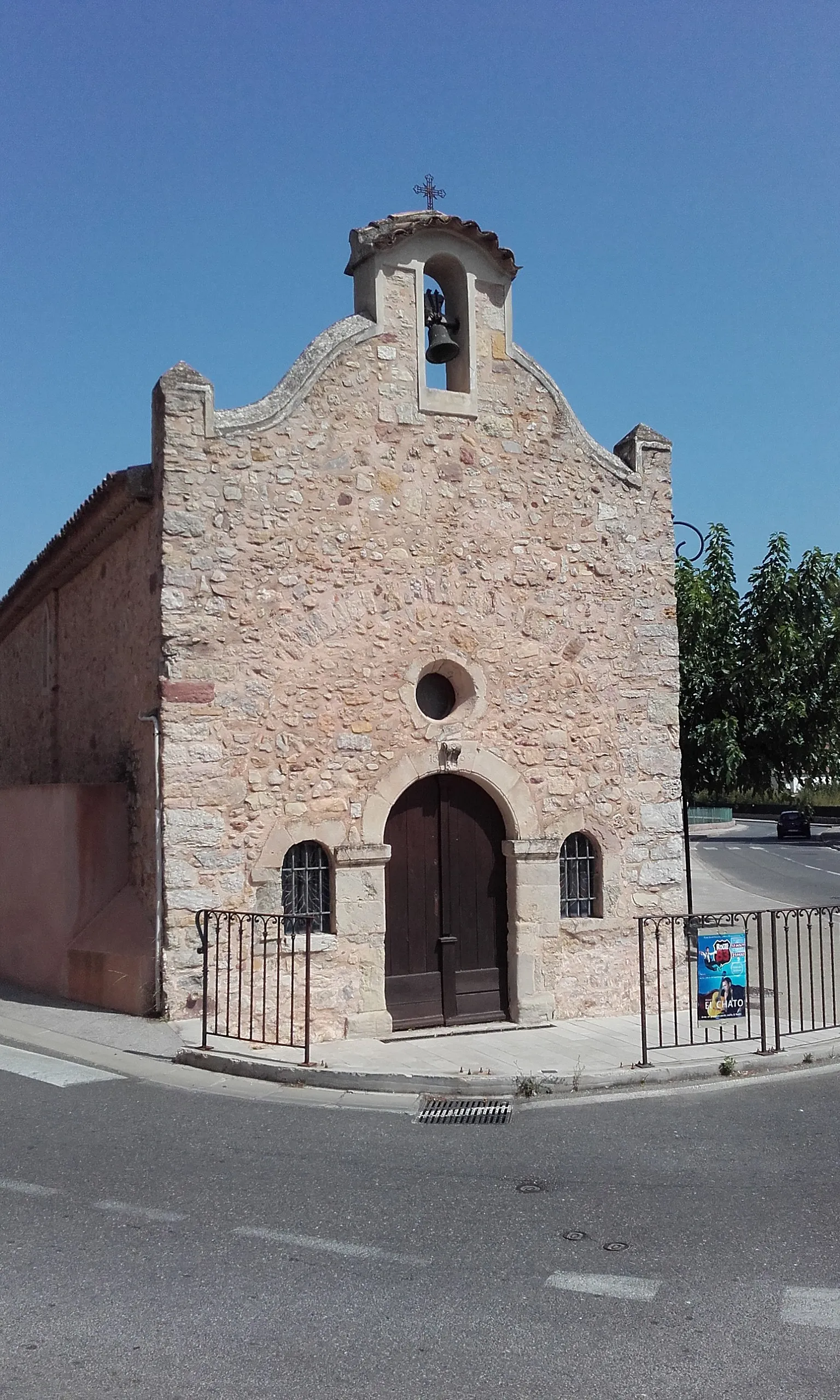
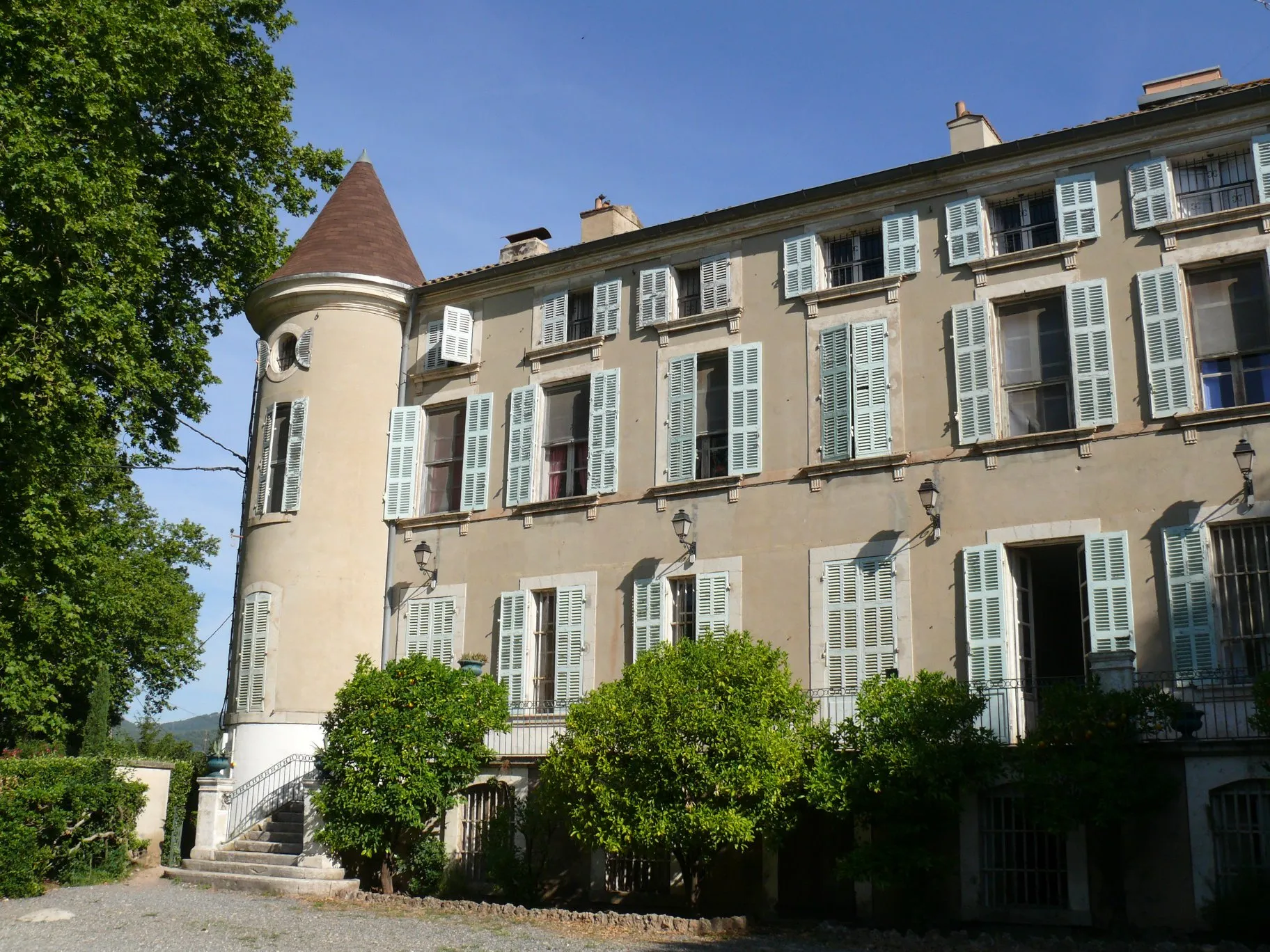
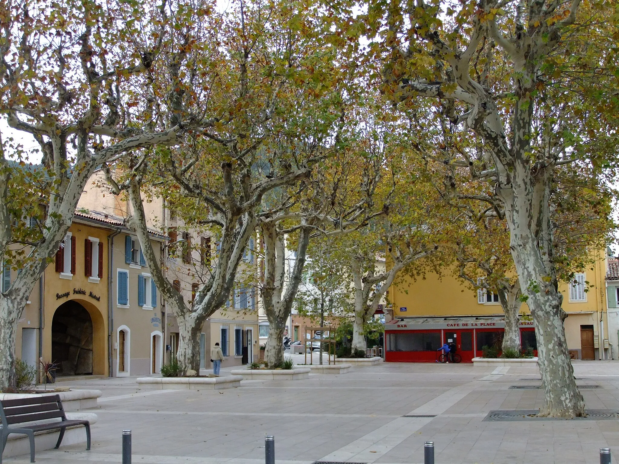
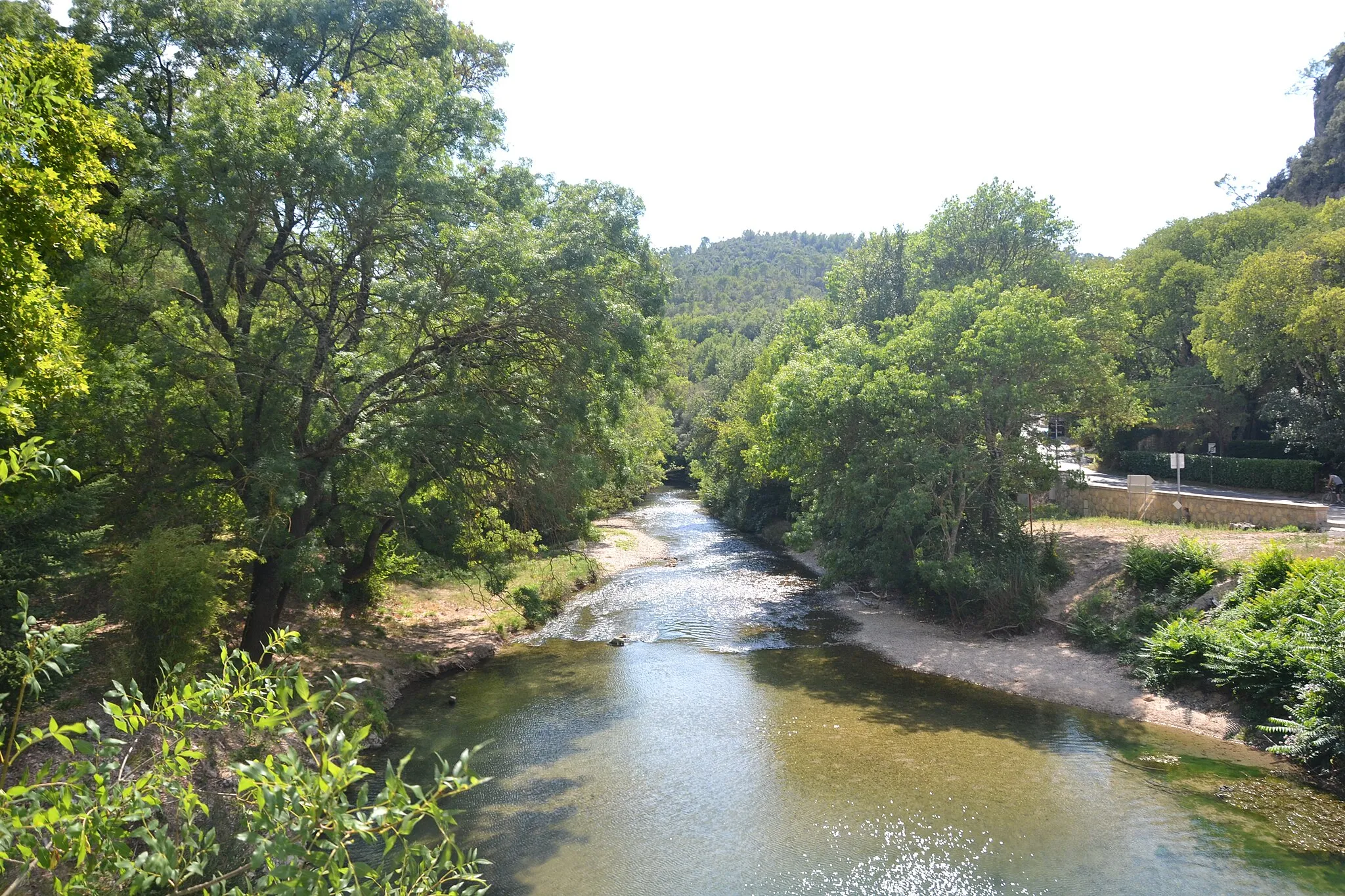
Start: Belgentier Village centerBelgentier: Cycle through Beauty in Provence-Alpes-Côte d’Azur
Belgentier is a charming locality located in the Provence-Alpes-Côte d’Azur region of France. As a cyclist, Belgentier offers a mix of flat and hilly terrain, providing options for both leisurely rides and challenging climbs. The area is surrounded by tranquil countryside and picturesque villages, making it an ideal destination for road and gravel cyclists. Belgentier is located near the Col de Signes, a famous climb that attracts cyclists from all over the world. With its scenic routes and cycling-friendly atmosphere, Belgentier is a delightful locality for cyclists of all skill levels.0 km
0 km
Le SarretHamletLe Sarret - Start your ultimate gravel adventure from this remote and challenging location.
11 km
11 km
Pey Ferrier475 mPeakPey Ferrier - Embark on a thrilling descent as you navigate through exhilarating off-road trails.
26 km
26 km
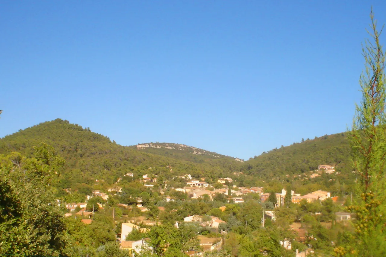
MazauguesVillageMazaugues - Discover a hidden gem of Provence-Alpes-Côte d’Azur as you pass through this charming village.
31 km
31 km
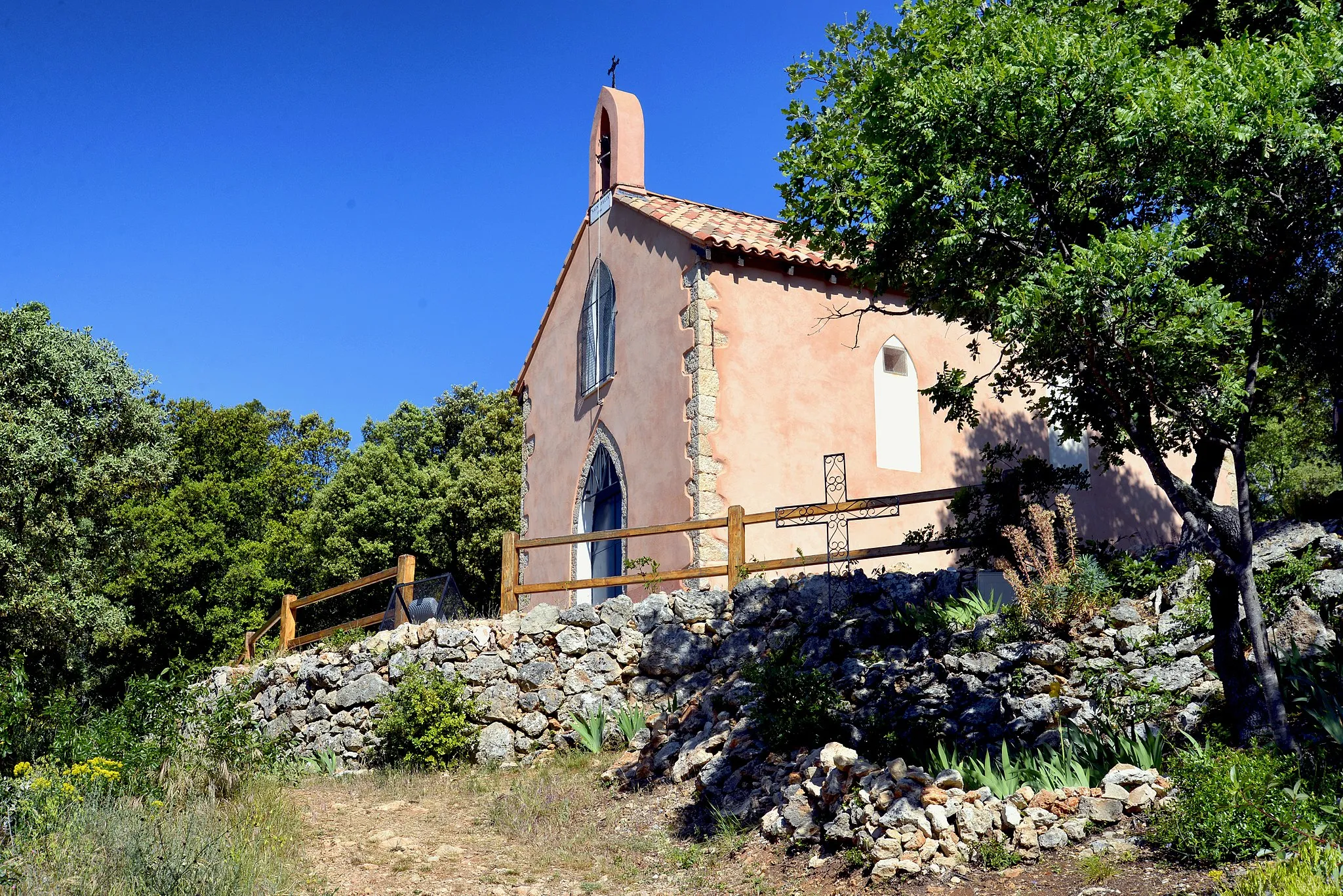
Casteleret486 mRuinsCasteleret - Test your climbing skills and conquer the challenging ascent in this remote location.
46 km
46 km
Collet de la Gérade315 mPeakCollet de la Gérade - Brace yourself and prepare for a legendary climb that rewards you with breathtaking views.
59 km
59 km
Collet de Baudusself313 mPeakCollet de Baudusself - Experience the thrill of conquering another challenging climb on your gravel adventure.
60 km
60 km
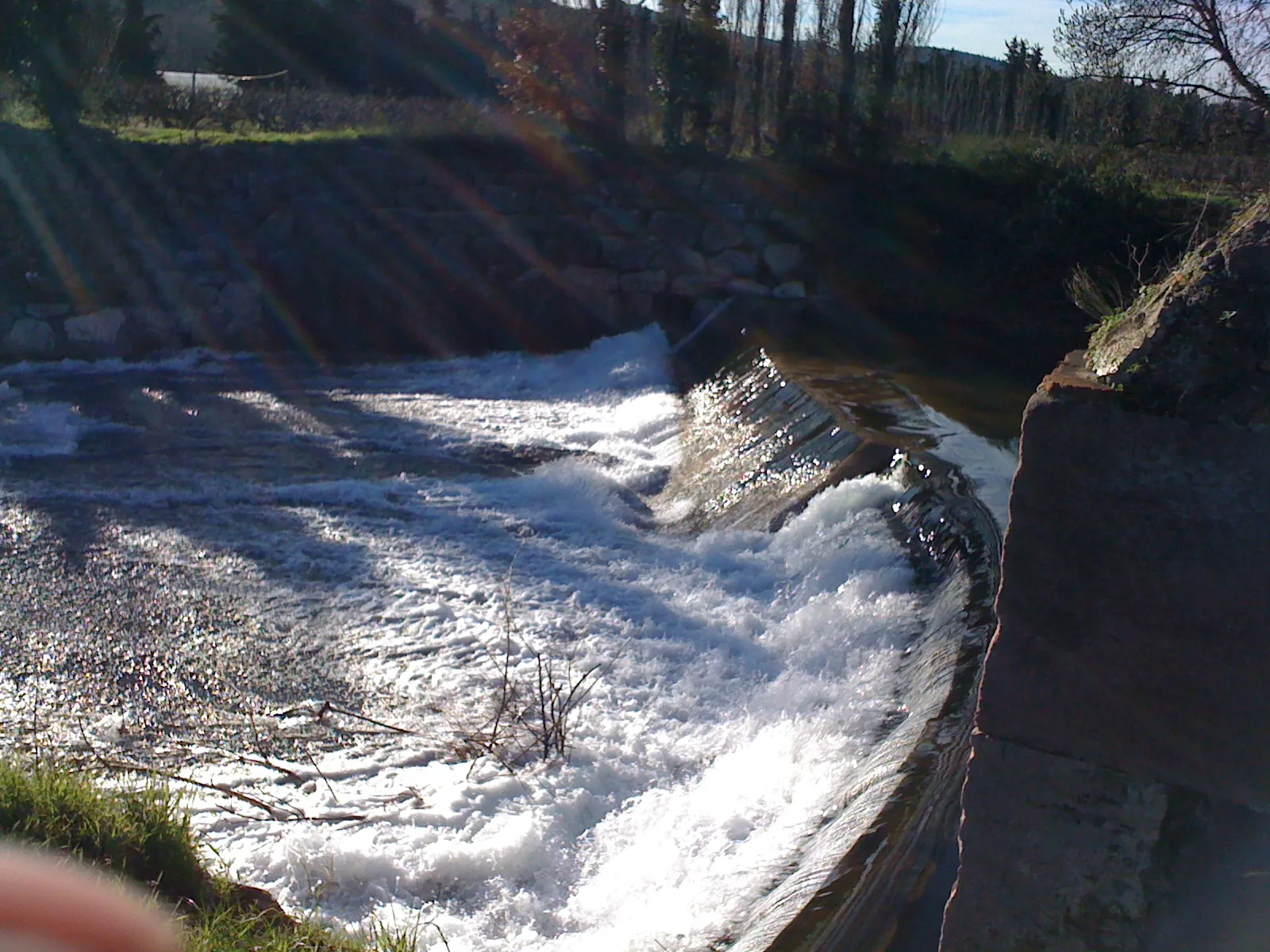
ChâteauvertVillageChâteauvert - Admire the rugged beauty of this picturesque village situated in a stunning natural setting.
79 km
79 km
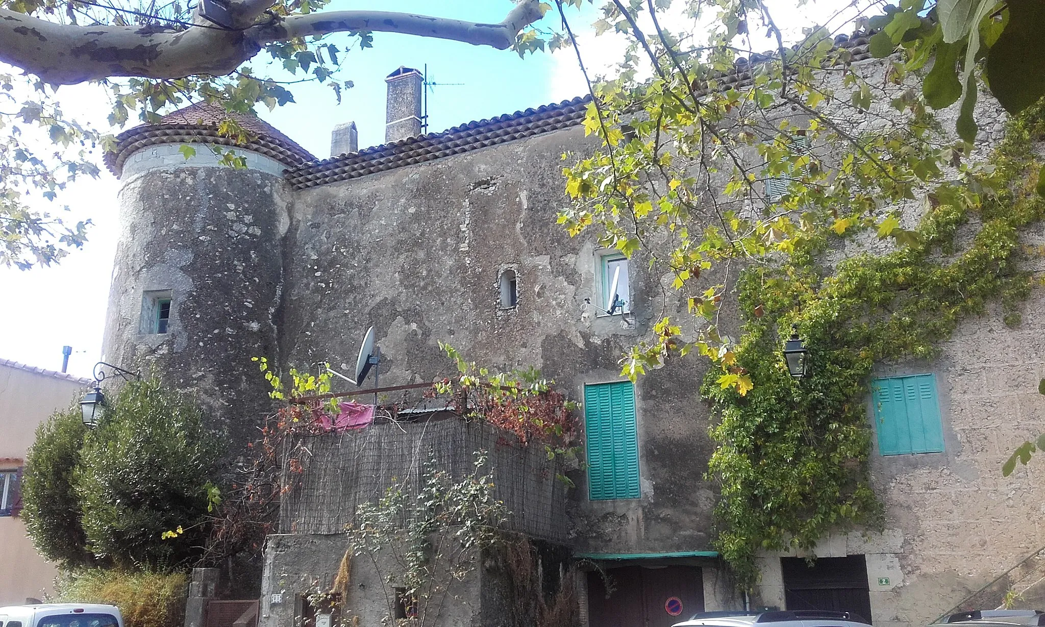
Camps-la-SourceVillageCamps-la-Source - Enjoy the rural charm and tranquility offered by this quaint Provençal village.
94 km
94 km
Peynier478 mPeakPeynier - Take a well-deserved break in this charming town and soak in its local flavors and traditions.
102 km
102 km
BelgentierVillageBelgentier - Finish your ultimate gravel adventure in this scenic village and reward yourself with a breathtaking view of the surroundings.
102 km
102 km
Finish: Belgentier Village centerBelgentier: Cycle through Beauty in Provence-Alpes-Côte d’Azur
Cycling routes from Belgentier:
Ultimate Gravel Adventure: Le Sarret to Belgentier Loop Belgentier to Solliès-Toucas Loop Gravel Adventure: Peynier to Belgentier Route Scenic Gravel Ride Belgentier to Cuers Loop Countryside Exploration Belgentier and Surrounding Villages Scenic Road Cycling: Pey Rediaque to Belgentier Route Gravel Adventure in Provence Exploring Natural Gems
Cycling routes nearby: