Scenic Road Cycling: Pey Rediaque to Belgentier Route
A road cycling route starting from Belgentier
Discover the beauty of Provence-Alpes-Côte d’Azur on this stunning road cycling route
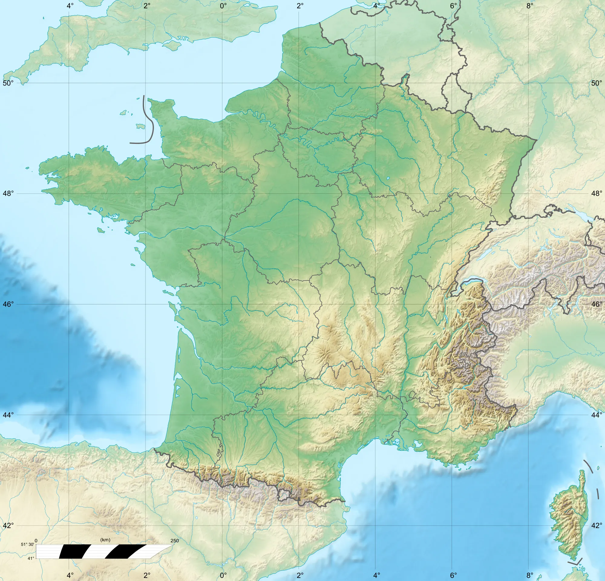
Map
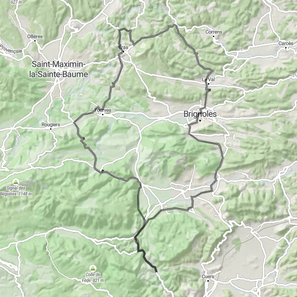
Embark on a scenic road cycling journey from Pey Rediaque to Belgentier and revel in the picturesque beauty of the region. This moderate route spans a distance of 96 km with an ascent of 1210m, catering to well-trained amateur cyclists seeking a rewarding experience. As you traverse through highlights such as Pey Rediaque, La Roquebrussanne, Casteleret, Chapelle Sainte-Estève (ruins), Collet de la Gérade, Châteauvert, Brignoles, Forcalqueiret, Peynier, and Belgentier, immerse yourself in the mesmerizing landscapes and charming towns that Provence-Alpes-Côte d’Azur has to offer. Experience the tranquility of the countryside, marvel at the architectural wonders, and relish in the local culture on this unforgettable road cycling adventure.
road
96 km
1210 m
Tough
Route profile
Highlights on the route
0 km
0 km
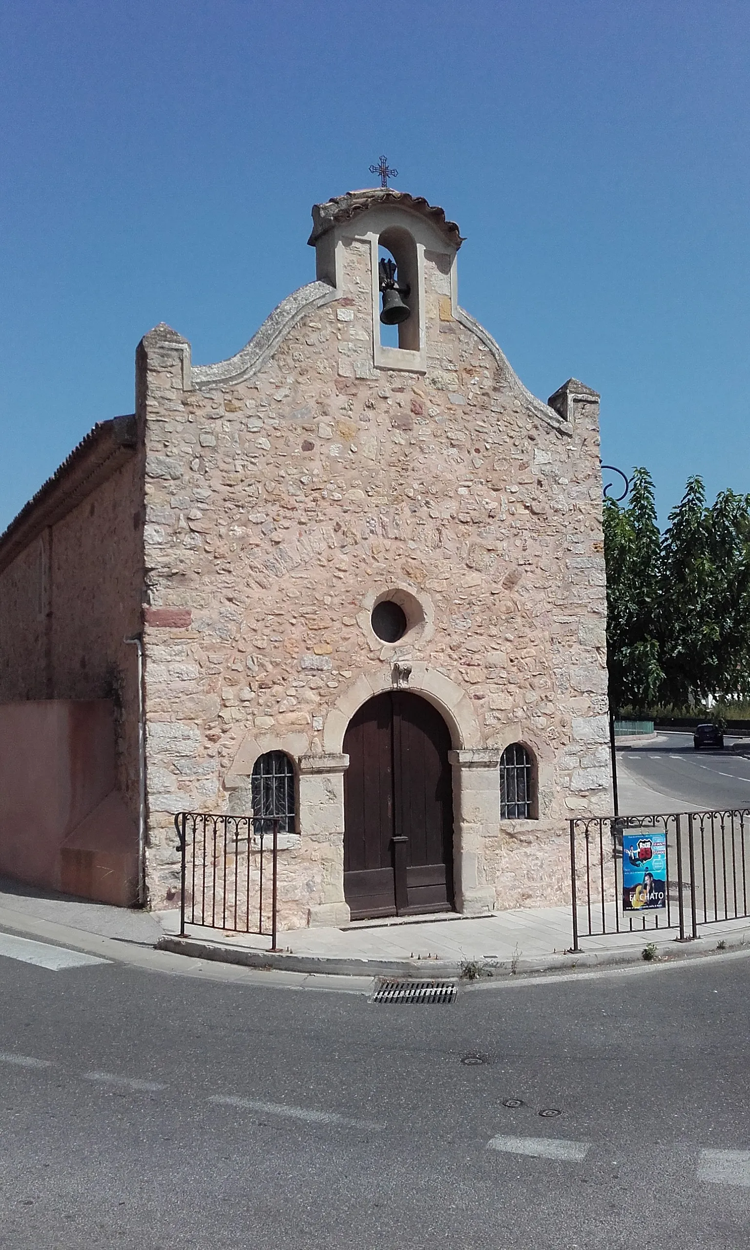
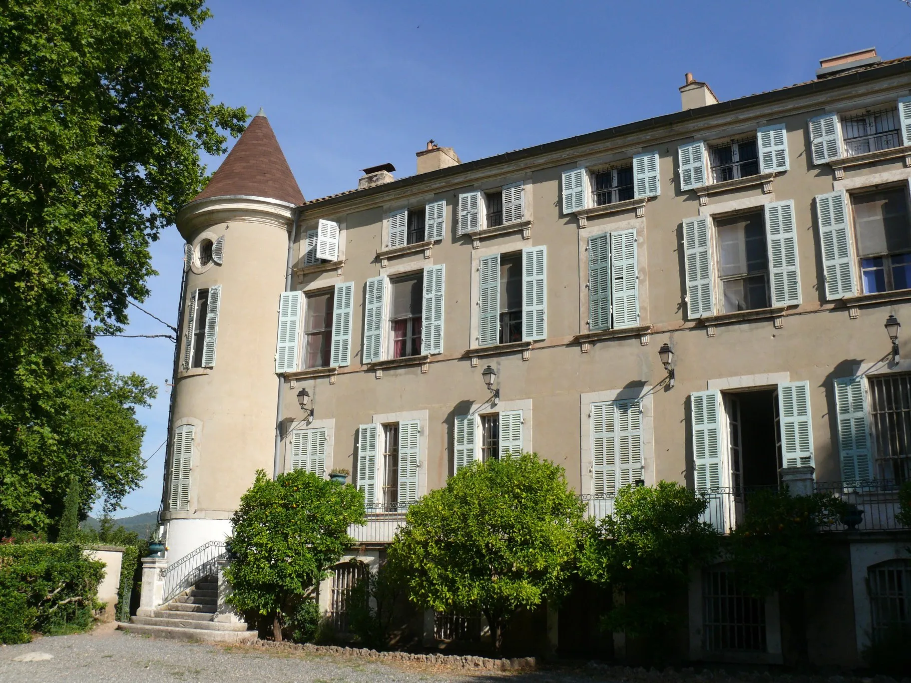
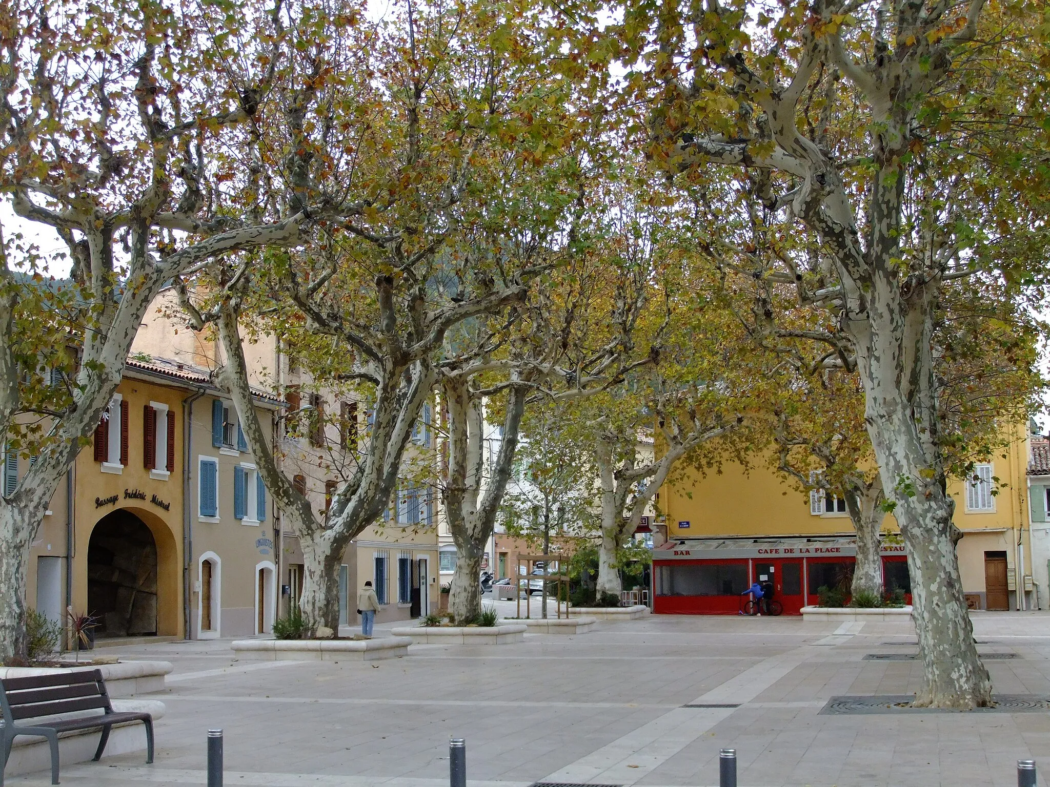
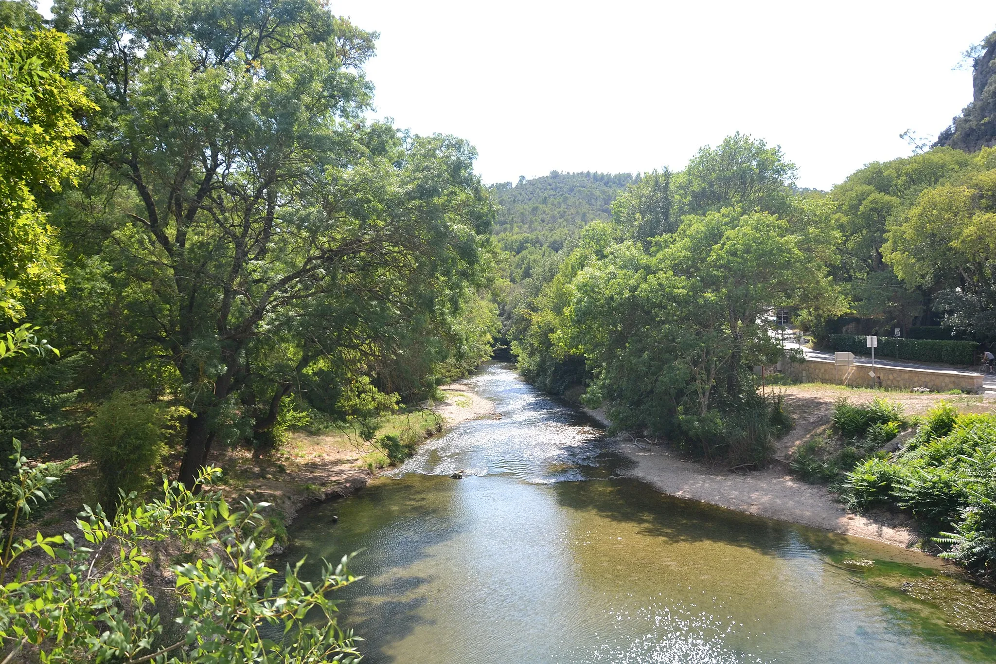
Start: Belgentier Village centerBelgentier: Cycle through Beauty in Provence-Alpes-Côte d’Azur
Belgentier is a charming locality located in the Provence-Alpes-Côte d’Azur region of France. As a cyclist, Belgentier offers a mix of flat and hilly terrain, providing options for both leisurely rides and challenging climbs. The area is surrounded by tranquil countryside and picturesque villages, making it an ideal destination for road and gravel cyclists. Belgentier is located near the Col de Signes, a famous climb that attracts cyclists from all over the world. With its scenic routes and cycling-friendly atmosphere, Belgentier is a delightful locality for cyclists of all skill levels.9 km
9 km
Pey Rediaque366 mPeakPey Rediaque - Start your scenic road cycling journey from this tranquil location surrounded by natural beauty.
13 km
13 km
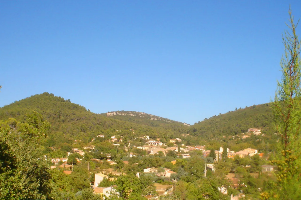
La RoquebrussanneVillageLa Roquebrussanne - Pause and admire the striking landscapes as you pass through this charming village.
24 km
24 km
Casteleret486 mRuinsCasteleret - Challenge yourself and conquer the steep climb to reach this remote spot with panoramic views.
29 km
29 km
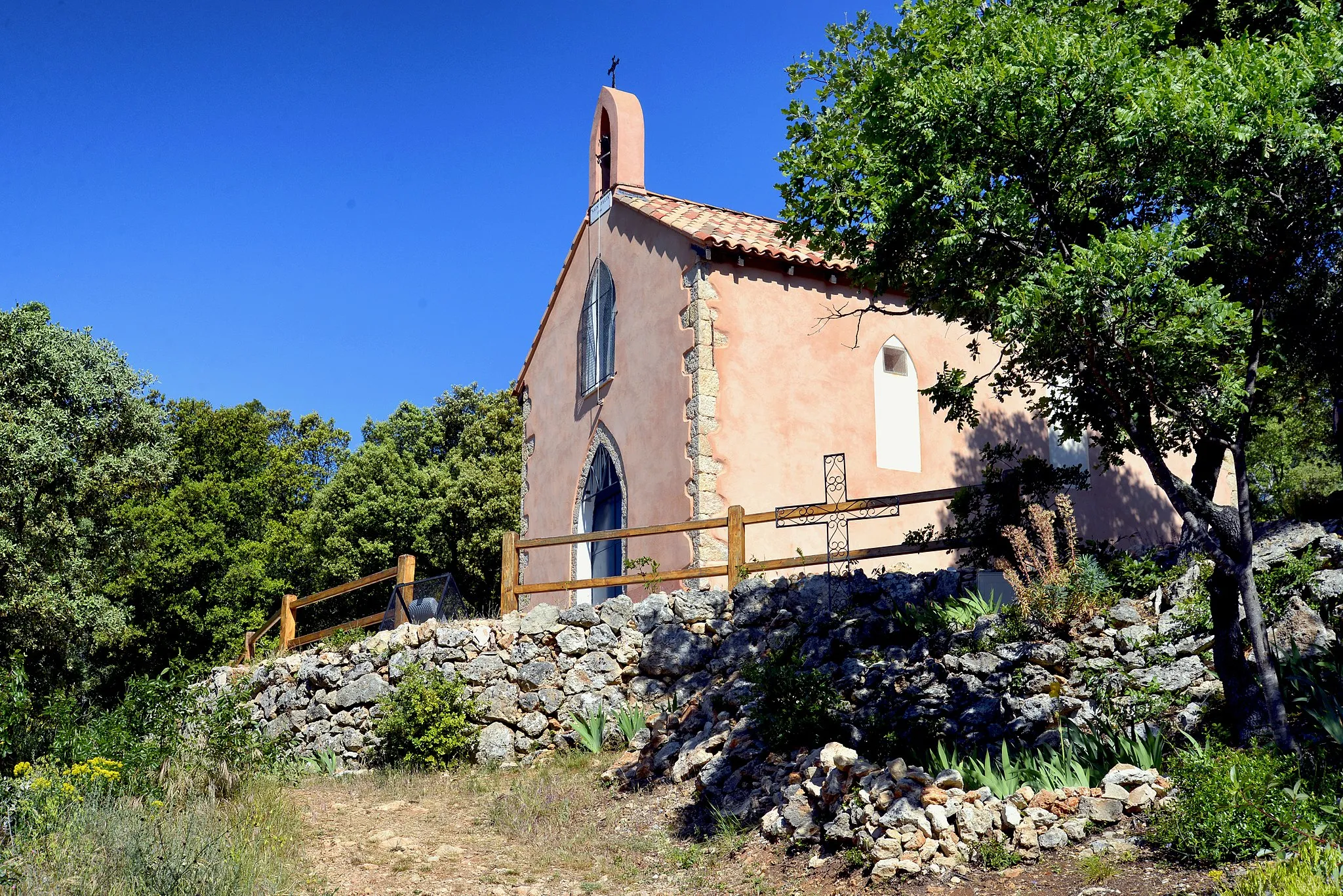
Chapelle Sainte-Estève (ruines)Castle RuinsChapelle Sainte-Estève (ruins) - Take a moment to explore the ruins of this historical site nestled amidst nature.
40 km
40 km
Collet de la Gérade315 mPeakCollet de la Gérade - Feel the rush of adrenaline as you ascend this iconic climb with spectacular vistas.
51 km
51 km
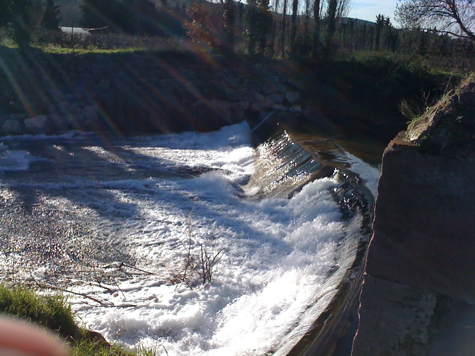
ChâteauvertVillageChâteauvert - Be captivated by the unique geological features and natural beauty of this stunning village.
65 km
65 km
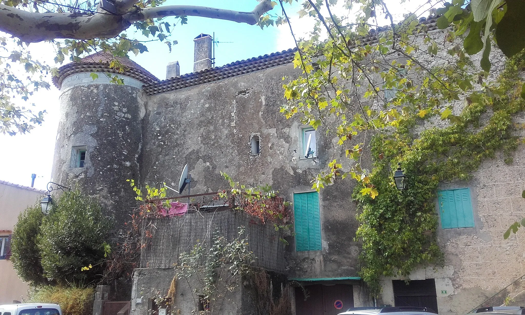
BrignolesTownBrignoles - Discover the vibrant atmosphere of this lively town with its rich architectural heritage.
77 km
77 km
ForcalqueiretVillageForcalqueiret - Inspire yourself with the serene beauty of this scenic village nestled in a lush green landscape.
85 km
85 km
Peynier478 mPeakPeynier - Indulge in the local flavors and traditions of this charming town that welcomes cyclers.
96 km
96 km
BelgentierVillageBelgentier - Finish your road cycling adventure in this picturesque Provençal village known for its natural beauty.
96 km
96 km
Finish: Belgentier Village centerBelgentier: Cycle through Beauty in Provence-Alpes-Côte d’Azur
Cycling routes from Belgentier:
Ultimate Gravel Adventure: Le Sarret to Belgentier Loop Belgentier to Solliès-Toucas Loop Gravel Adventure: Peynier to Belgentier Route Scenic Gravel Ride Belgentier to Cuers Loop Countryside Exploration Belgentier and Surrounding Villages Scenic Road Cycling: Pey Rediaque to Belgentier Route Gravel Adventure in Provence Exploring Natural Gems
Cycling routes nearby: