The Ultimate Gravel Challenge
A gravel cycling route starting from Valbonne
Embark on an epic gravel cycling journey through breathtaking landscapes
Map

This 160km gravel cycling route starting near Valbonne takes you through picturesque landscapes, challenging climbs, and serene forests. With a total ascent of 4723m, this route offers an extreme challenge only suitable for highly trained cyclists. Highlights along the route include Châteauneuf-Grasse, a village known for its stunning views of the French Riviera, and Saint-Auban, located at the entrance of the impressive Gorges de l'Estéron. With a difficulty level of 5 and an epicness score of 5, this route presents an unforgettable and awe-inspiring gravel cycling adventure.
gravel
160 km
4723 m
Savage
Route profile
Highlights on the route
0 km
0 km
Start: Valbonne City centerValbonne: Coastal routes and mountain climbs in Provence-Alpes-Côte d’Azur.
Valbonne is a town located in the Provence-Alpes-Côte d’Azur region of France. As a road and gravel cyclist, Valbonne offers a variety of cycling options including coastal routes along the Mediterranean Sea and challenging climbs in the nearby mountains. The region is known for its year-round sunny weather, making it a popular destination for cyclists looking to escape the cold. Valbonne is home to the famous cycling climb, Col de Vence, which offers breathtaking views of the French Riviera. With its combination of beautiful scenery and challenging routes, Valbonne is a cyclist's paradise.5 km
5 km
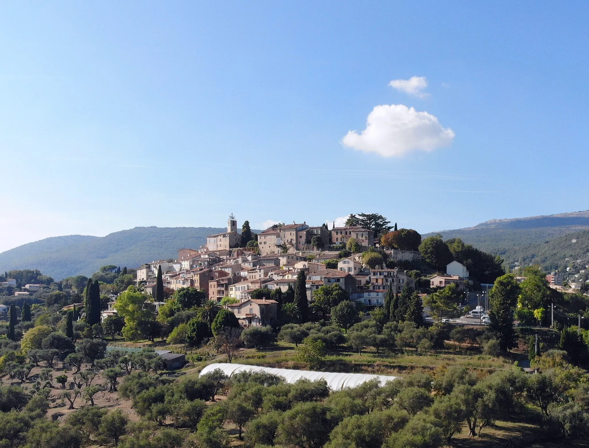
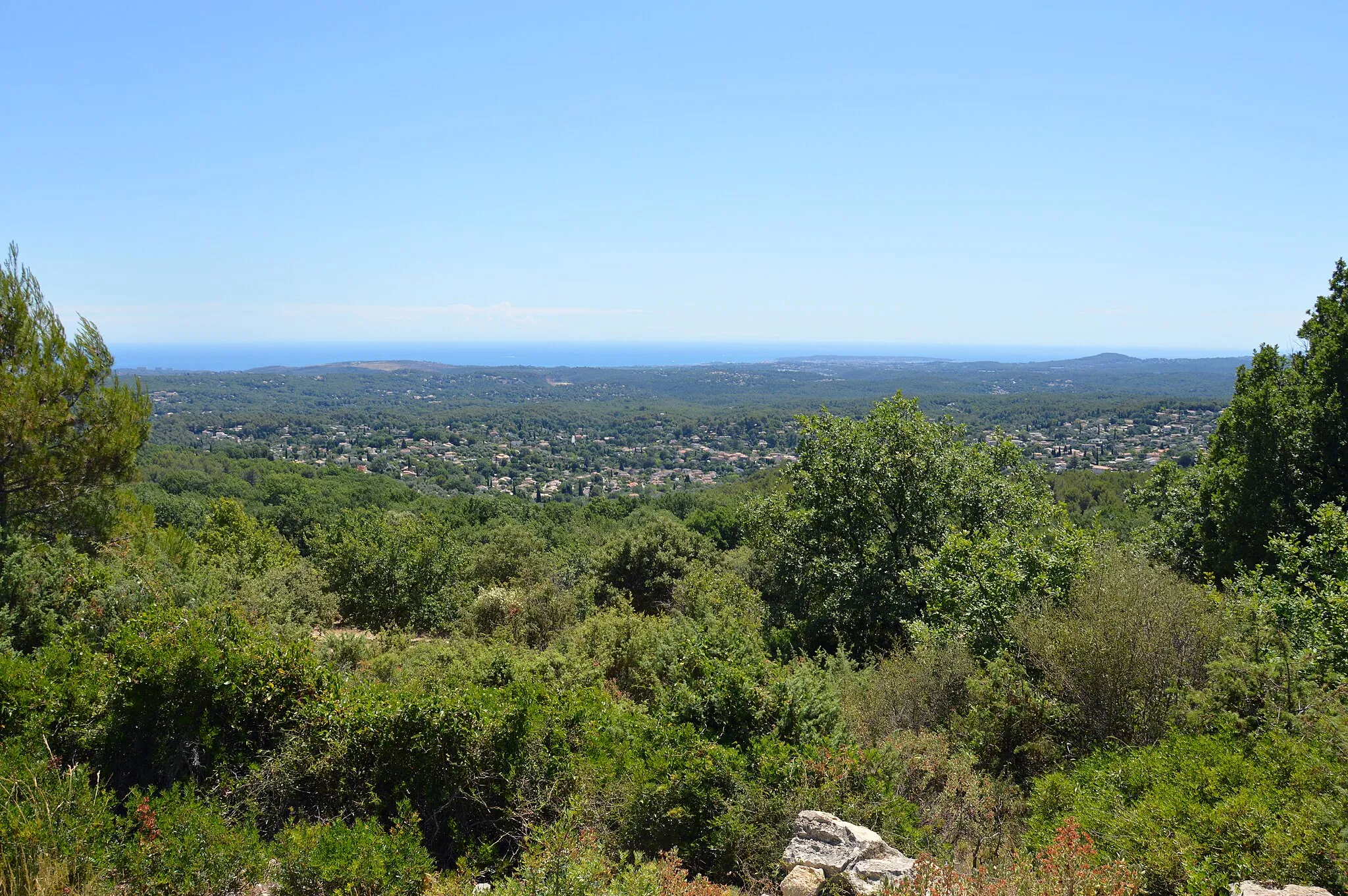
Châteauneuf-GrasseVillageMarvel at the panoramic views from Châteauneuf-Grasse, a charming village offering breathtaking vistas across the French Riviera.
16 km
16 km
La Colle1234 mPeakPass through La Colle, a picturesque village offering scenic views and traditional Provençal charm.
24 km
24 km
Col de la Sine1108 mMountain PassTake on the challenging ascent to Col de la Sine and be rewarded with breathtaking views of the surrounding mountains.
35 km
35 km
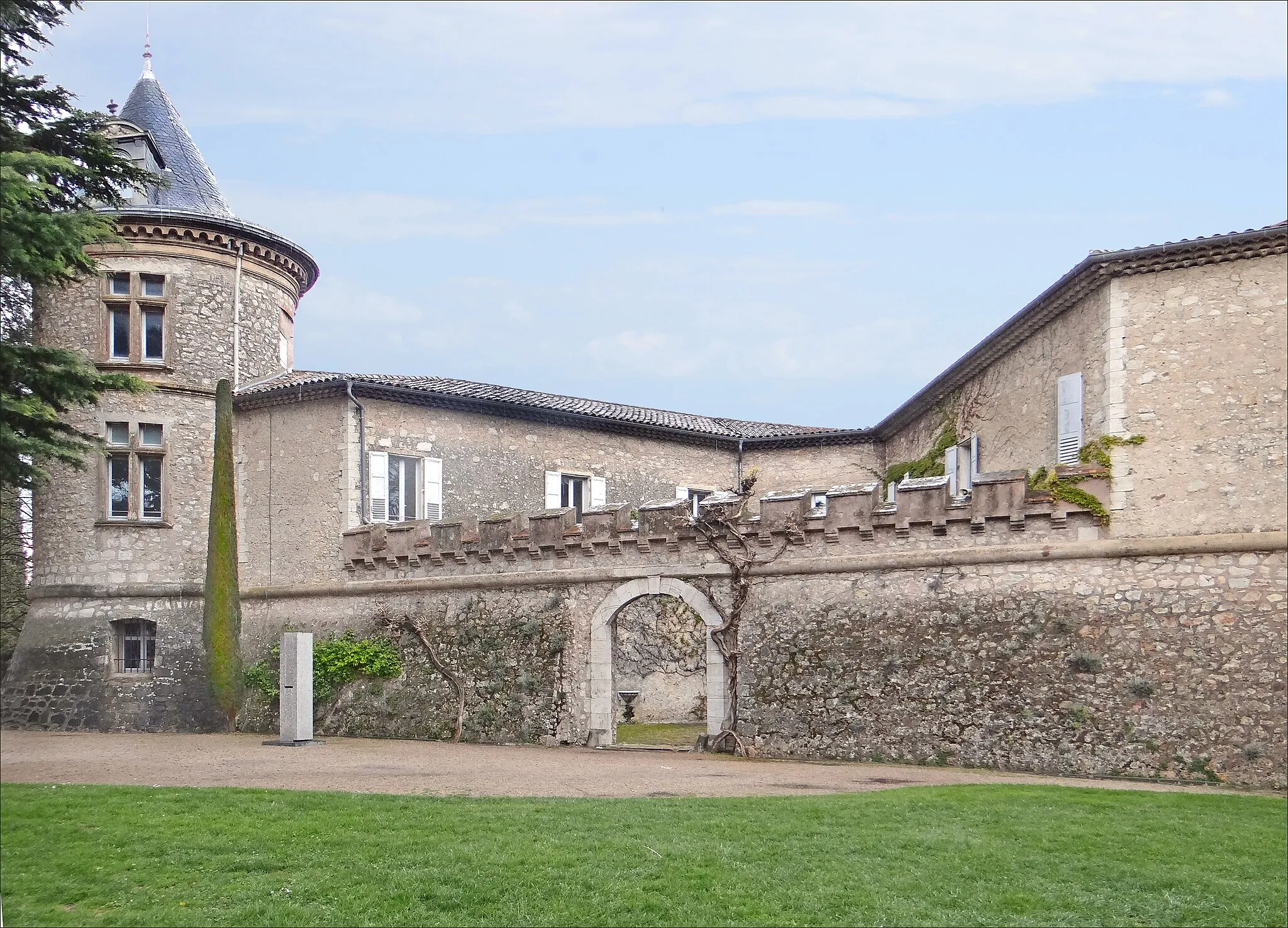
Castellaras de ThorencCastle RuinsDiscover the unique rock formations and wild beauty of Castellaras de Thorenc, a hidden gem within the region.
49 km
49 km
Le Ribit1239 mPeakEmbark on a thrilling adventure to Le Ribit, nestled deep within the untamed forests of Southern France.
51 km
51 km
Saint-AubanVillageConquer the challenging terrain leading to Saint-Auban and experience the rugged beauty of the Gorges de l'Estéron.
61 km
61 km
Collet de Jacques1001 mPeakChallenge yourself with the ascent to Collet de Jacques, a demanding climb that rewards you with breathtaking views.
65 km
65 km
AmiratHamletExperience the tranquility of Amirat, a small mountain village surrounded by nature and ideal for a peaceful break.
88 km
88 km
Sauma Longa1010 mPeakVisit Sauma Longa, a remote place with an intoxicating beauty that will leave you in awe.
95 km
95 km
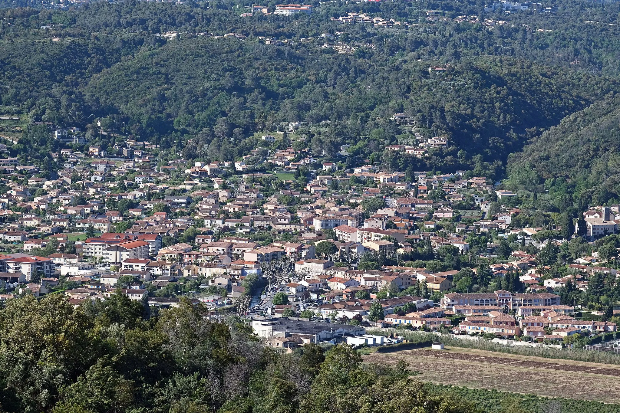
RoquestéronVillageRoquestéron, known for its picturesque setting and historic buildings, offers a charming backdrop for a rest stop and photo opportunities.
96 km
96 km
Le Puy771 mPeakLe Puy is known for its stunning views and rural charm, making it a great spot to pause and soak in the atmosphere of the region.
114 km
114 km
Col des Ferres596 mMountain PassConquer the challenging Col des Ferres and enjoy panoramic views of the surrounding landscapes.
120 km
120 km
BouyonVillageCycle through Bouyon, a traditional village with narrow winding streets and picturesque surroundings.
134 km
134 km
Col de Vence962 mMountain PassClimb the famous Col de Vence, a legendary route that has tested the legs of many professional cyclists.
140 km
140 km
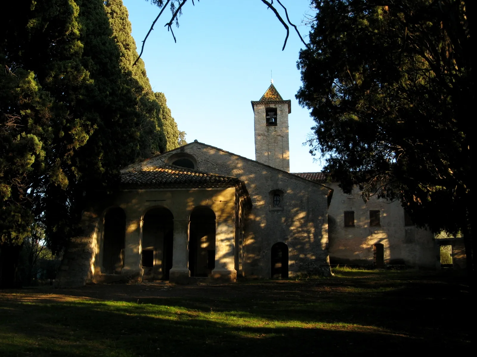
Château Saint-MartinCastleExplore the stunning Château Saint-Martin, offering panoramic views of the French countryside.
153 km
153 km
Camp Tracier260 mPeakPass by Camp Tracier and take in the peaceful surroundings of nature and beautiful landscapes.
155 km
155 km
Roquefort-les-PinsVillageFinish your epic journey in Roquefort-les-Pins, where you can relax and reflect on your incredible gravel cycling adventure.
160 km
160 km
Finish: Valbonne City centerValbonne: Coastal routes and mountain climbs in Provence-Alpes-Côte d’Azur.
Cycling routes nearby: