Ventabren Ascent
A road cycling route starting from Ventabren
A challenging road route near Ventabren with stunning uphill sections and beautiful scenic views.
Map
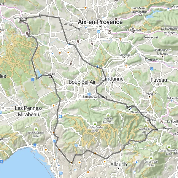
Ventabren Ascent is a challenging road cycling route near Ventabren, Provence-Alpes-Côte d’Azur, France. The route covers a distance of 88 kilometers and includes an ascent of 1029 meters. This route is suitable for well-trained amateur cyclists looking for a thrilling and picturesque ride. The route takes you through picturesque towns and villages, including Luynes, Cadolive, Mont Julien, Plan-de-Cuques, Septèmes-les-Vallons, and Ventabren, offering unique experiences at each stop.
road
88 km
1029 m
Tough
Route profile
Highlights on the route
0 km
0 km
Start: Ventabren Village centerVentabren: Gateway to scenic routes of Provence
Ventabren is a beautiful locality situated in the Provence-Alpes-Côte d'Azur region of France. For road and gravel cyclists, it offers a mix of flat and hilly terrain, with opportunities to explore the picturesque landscapes and vineyards. While Ventabren itself does not have any well-known climbs, it serves as a gateway to the scenic routes of Provence, which offer iconic climbs such as Mont Ventoux and Col de la Bonette.16 km
16 km
LuynesSub-urbLuynes, located along the route, is known for its historic medieval castle.
35 km
35 km
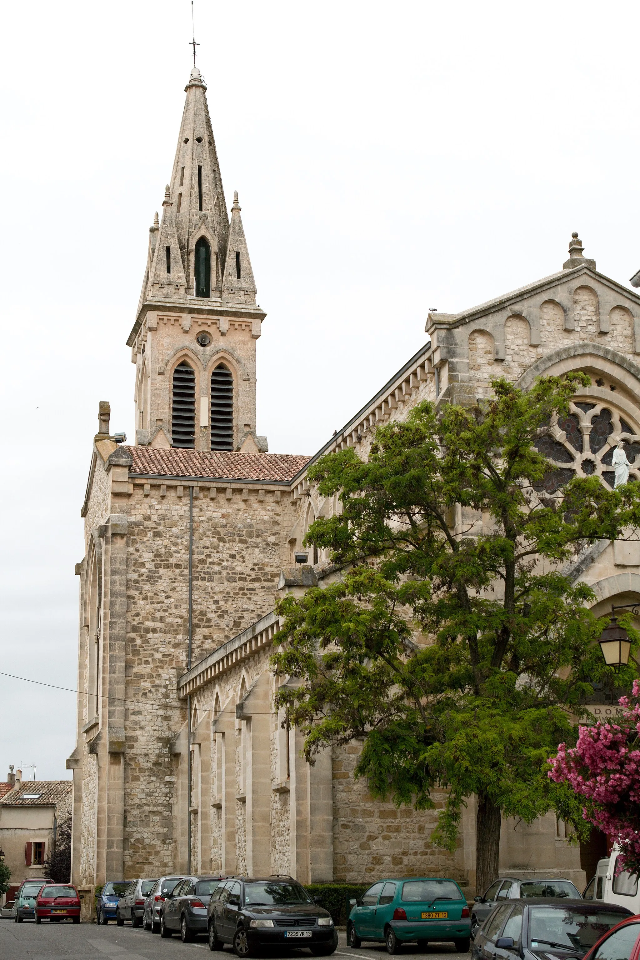
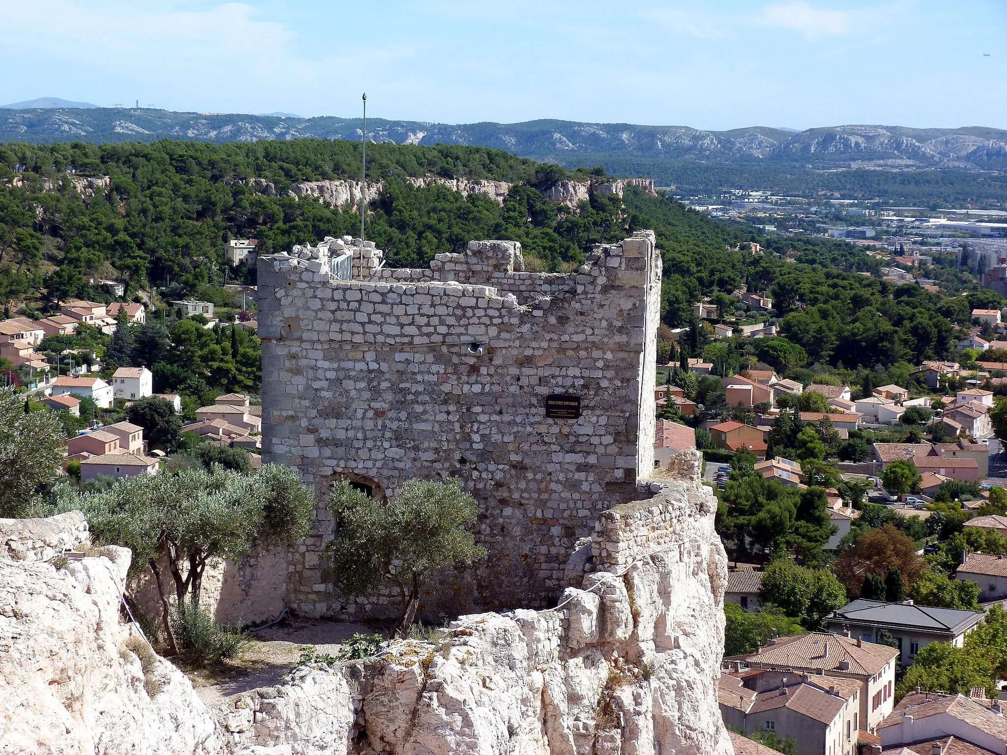
CadoliveVillageCadolive is a quaint village with charming cobbled streets and traditional Provençal houses.
35 km
35 km
Mont Julien633 mPeakMont Julien is a small mountain offering breathtaking panoramic views of the surrounding countryside.
49 km
49 km
Plan-de-CuquesTownPlan-de-Cuques is a charming town with narrow alleyways and traditional architecture.
65 km
65 km
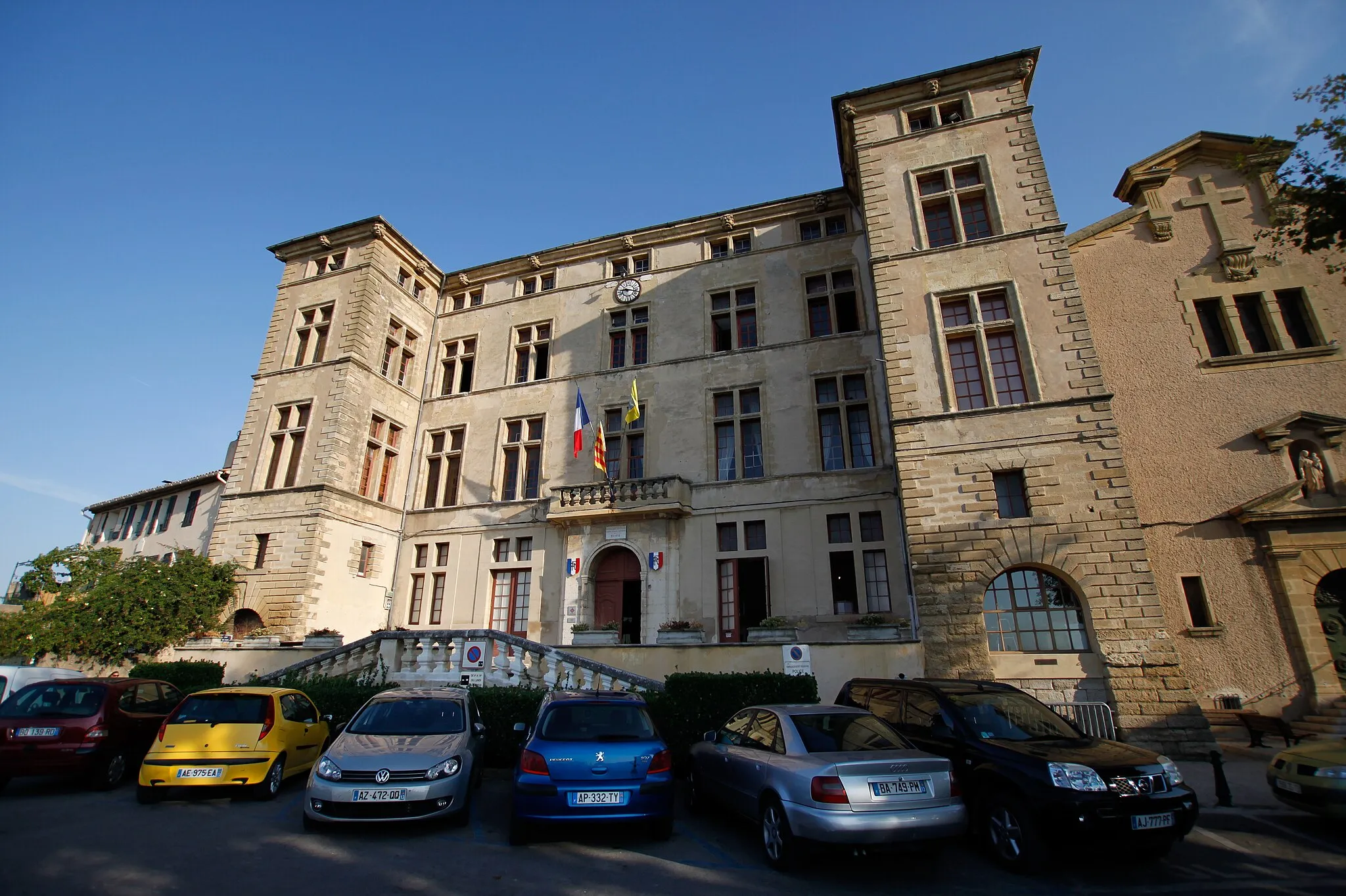
Septèmes-les-VallonsTownSeptèmes-les-Vallons is home to the impressive Château de la Moline, a beautiful architectural landmark.
88 km
88 km
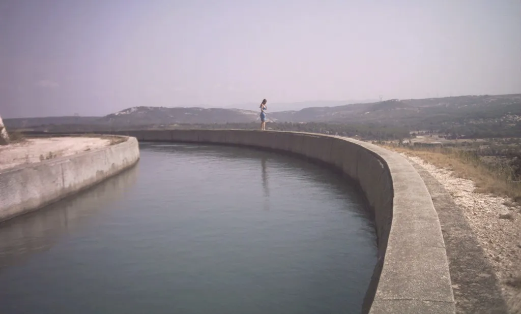
Descente poubelleViewpointThe Descente poubelle (Garbage Descent) is a thrilling downhill section on the route, offering adrenaline-pumping descents for experienced cyclists.
88 km
88 km
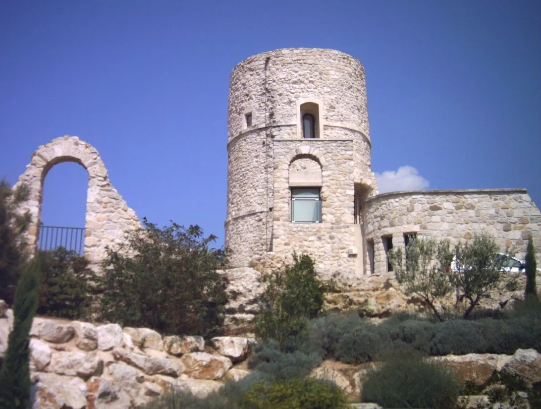
VentabrenVillageVentabren, the starting point of the route, is a picturesque village perched on a hilltop, offering stunning views of the surroundings.
88 km
88 km
Finish: Ventabren Village centerVentabren: Gateway to scenic routes of Provence
Cycling routes nearby: