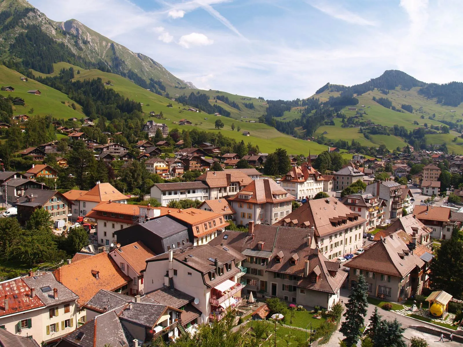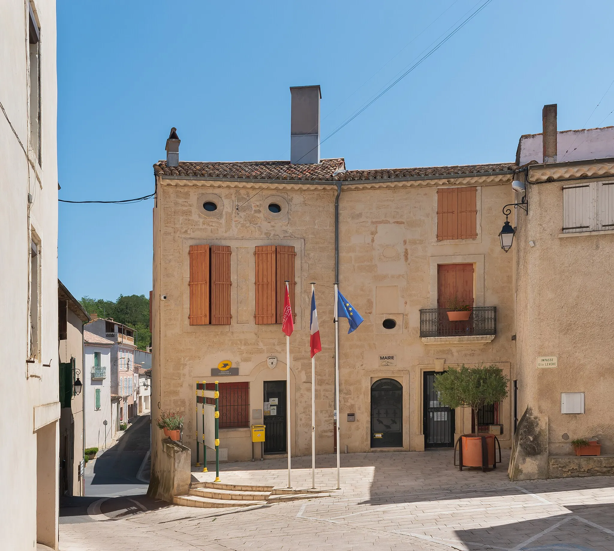
Road cycling paradise in Cessieu
Cycling routes from Cessieu
Cessieu is a small town located in the Rhône-Alpes region of France. It offers a mix of flat roads and scenic countryside that are suitable for road cycling. While gravel paths may be limited in the area, cyclists can still enjoy the beautiful natural landscapes. While there may not be any famous cycling spots or well-known climbs directly in Cessieu, the region offers several popular cycling destinations nearby, including the challenging Col du Galibier and Col de la Croix de Fer. These iconic climbs make Cessieu a great starting point for cyclists looking to take on some serious challenges. Overall, Cessieu is a good choice for road cyclists seeking beautiful scenery and challenging routes.
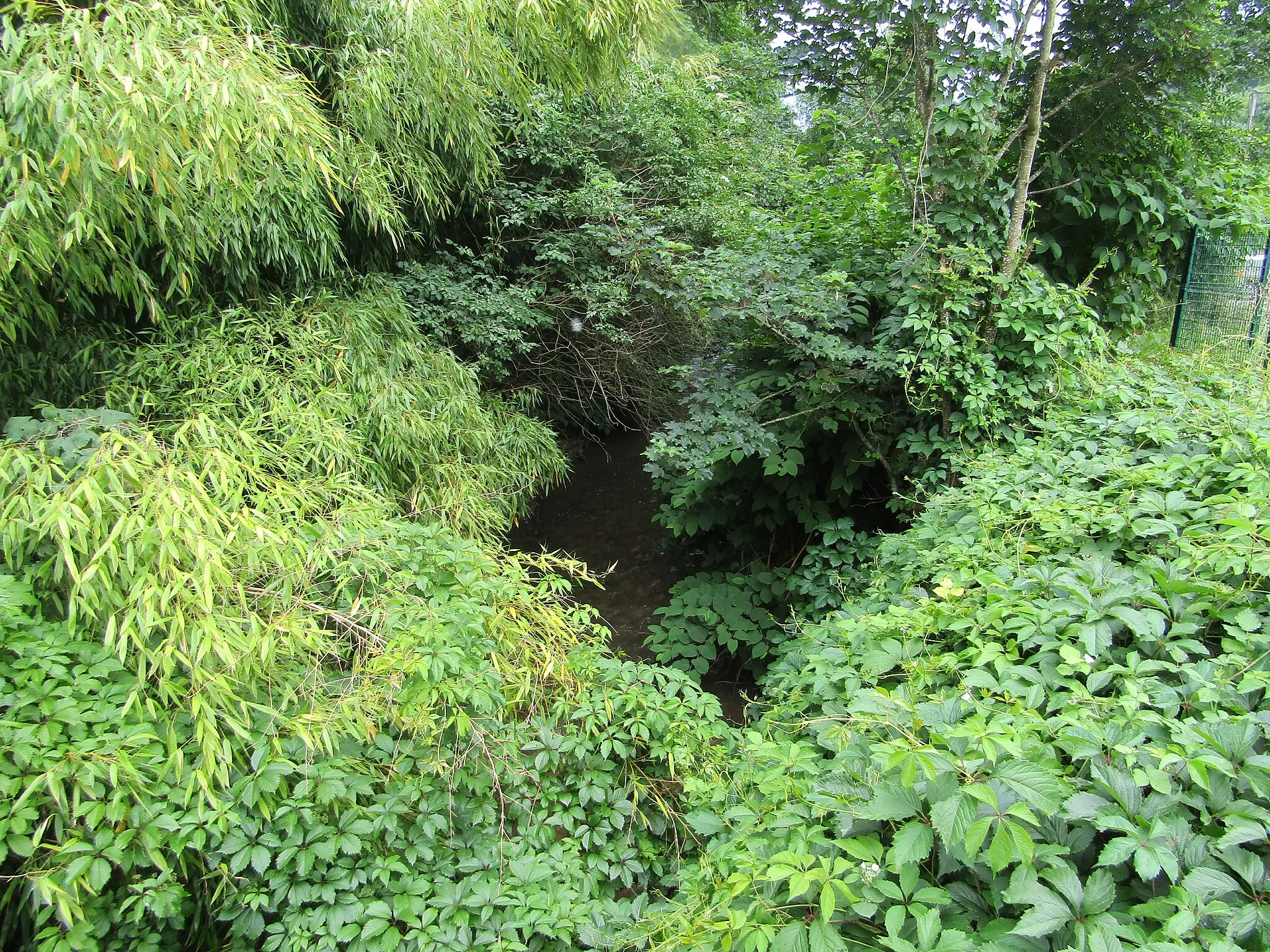
Discovering hidden gems in the countryside
This gravel cycling route explores lesser-known villages in the beautiful Rhône-Alpes region. With a total ascent of 991 meters over a distance of 53 kilometers, it offers a challenging adventure for gravel enthusiasts. The difficulty of this route is rated 4, suitable for experienced gravel riders. With an epicness rating of 3, it provides a unique experience in the French countryside, but does not include any legendary climbs or world-famous spots.
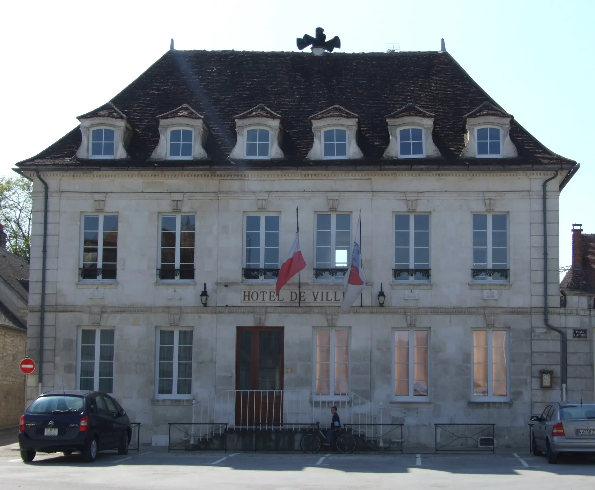
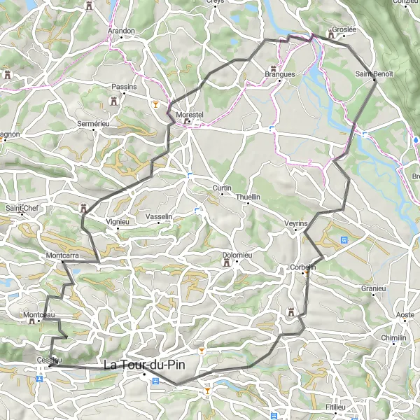
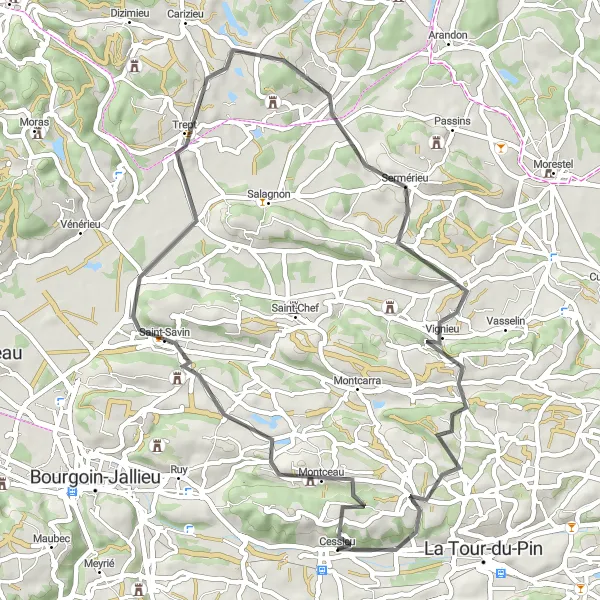
Exploring historical towns and beautiful landscapes
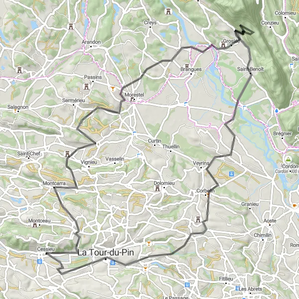
Embark on a cycling adventure through the historical towns of Groslée and Morestel. This road route, with a total ascent of 1135 meters over 80 kilometers, offers both challenging climbs and stunning views. The difficulty of this route is rated 4, suitable for experienced amateur cyclists. With an epicness rating of 4, cyclists will be rewarded with magnificent landscapes and a visit to Morestel's medieval town center.
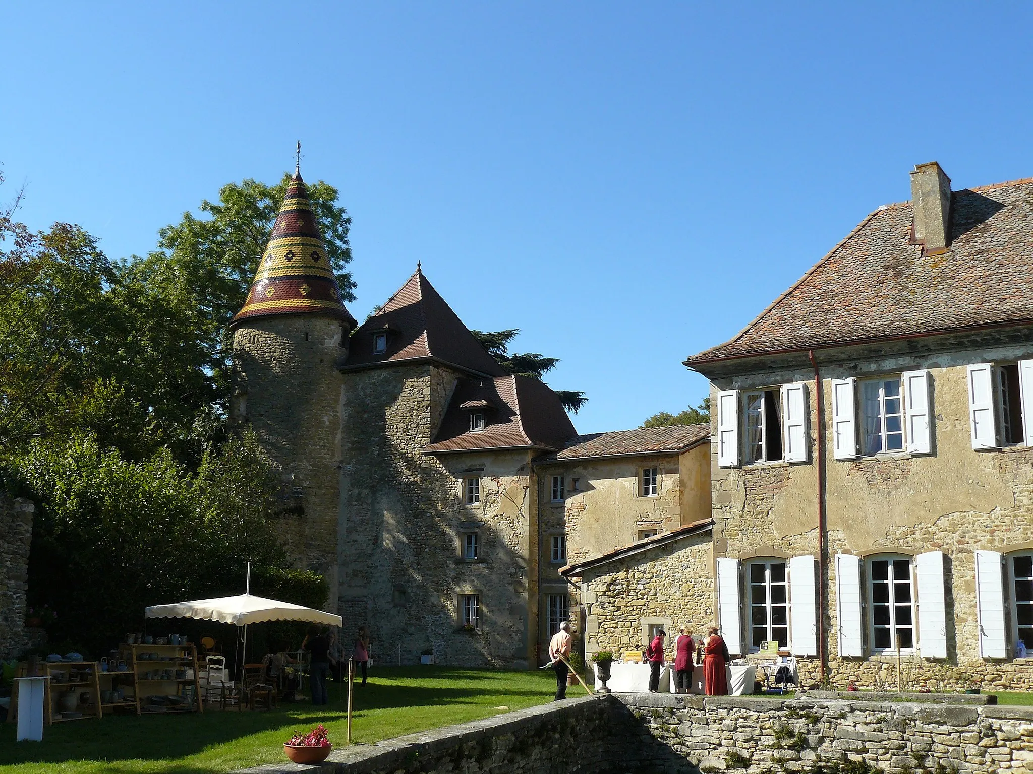
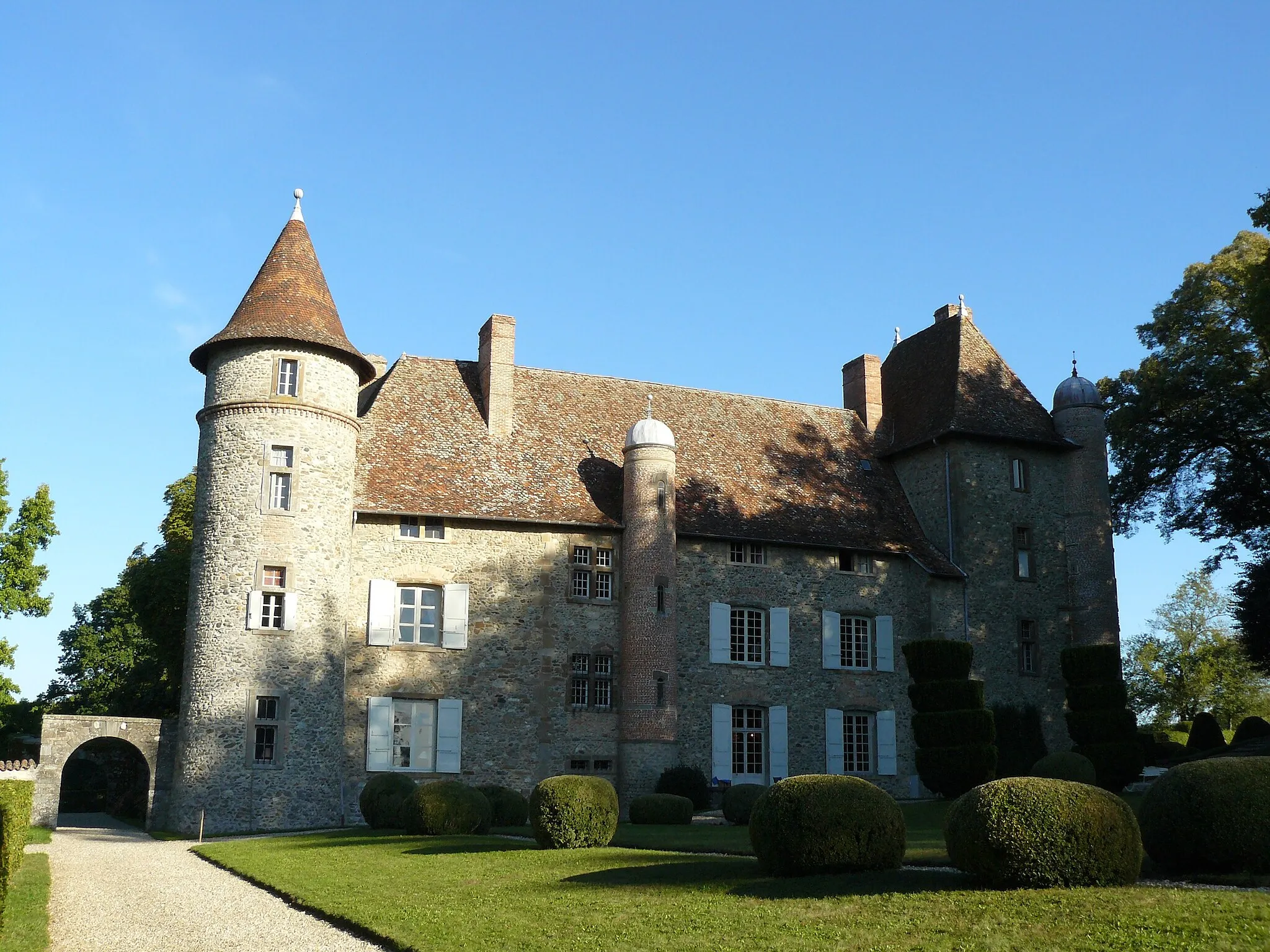
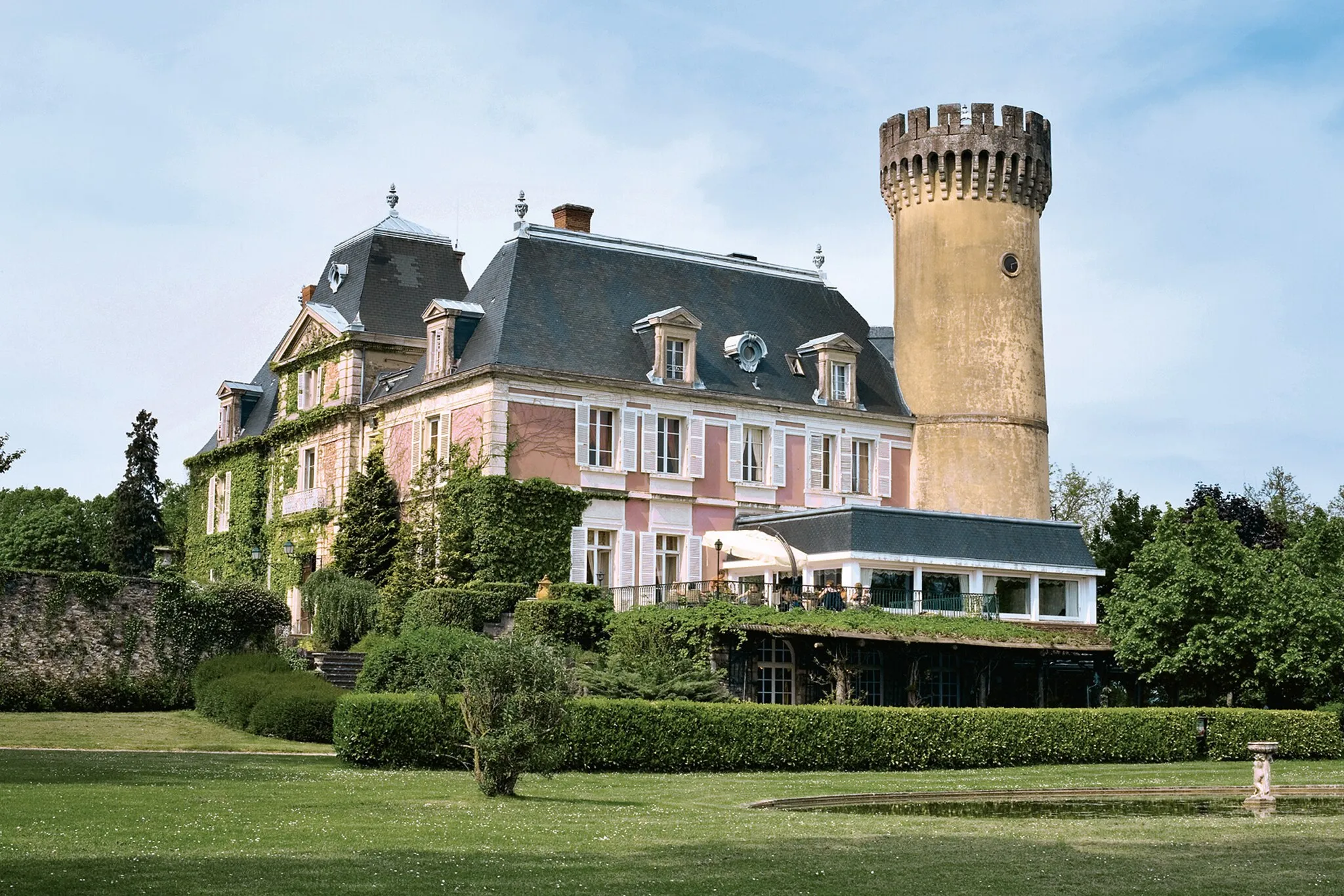
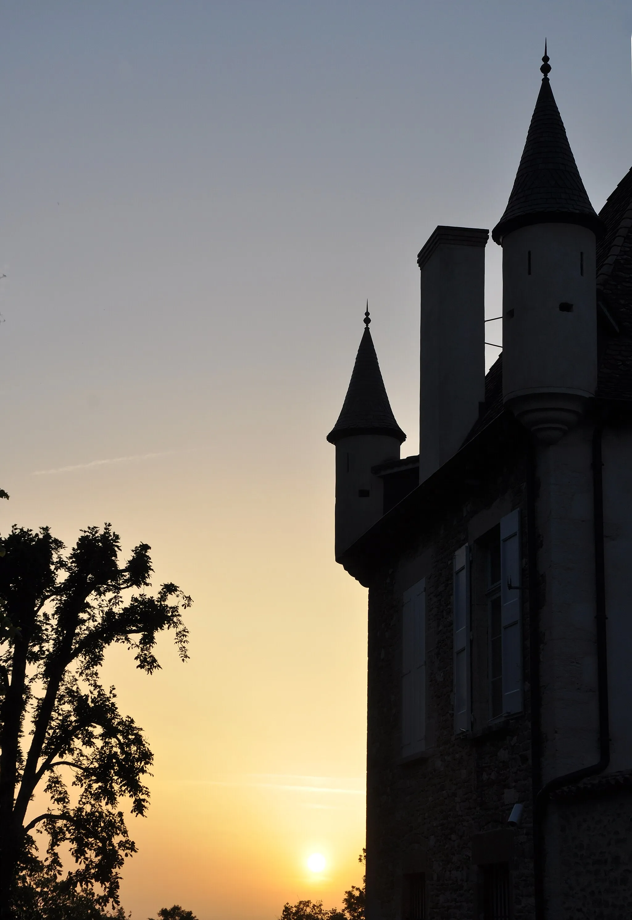
Château Route
Embark on a journey through historic castles and picturesque landscapes
The Château Route offers cyclists a thrilling adventure through the Rhône-Alpes region, showcasing its rich history and architectural wonders. Covering a distance of 126 kilometers and with an ascent of 1,276 meters, this road cycling route is suitable for experienced amateur cyclists. Highlights along this route include Châteauvilain, known for its impressive medieval castle, and Saint-Jean-de-Bournay, where cyclists can explore its charming streets filled with traditional houses. As you pedal further, you will encounter Saint-Just-Chaleyssin and its beautiful château, as well as Chaponnay and its historical significance. Genas marks a major highlight on the route, leading cyclists to Janneyrias and the renowned Château de Demptézieu. With its challenging ascents and beautiful landmarks, this route is sure to leave a lasting impression.
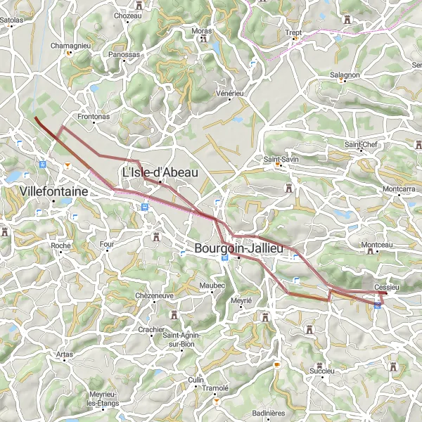
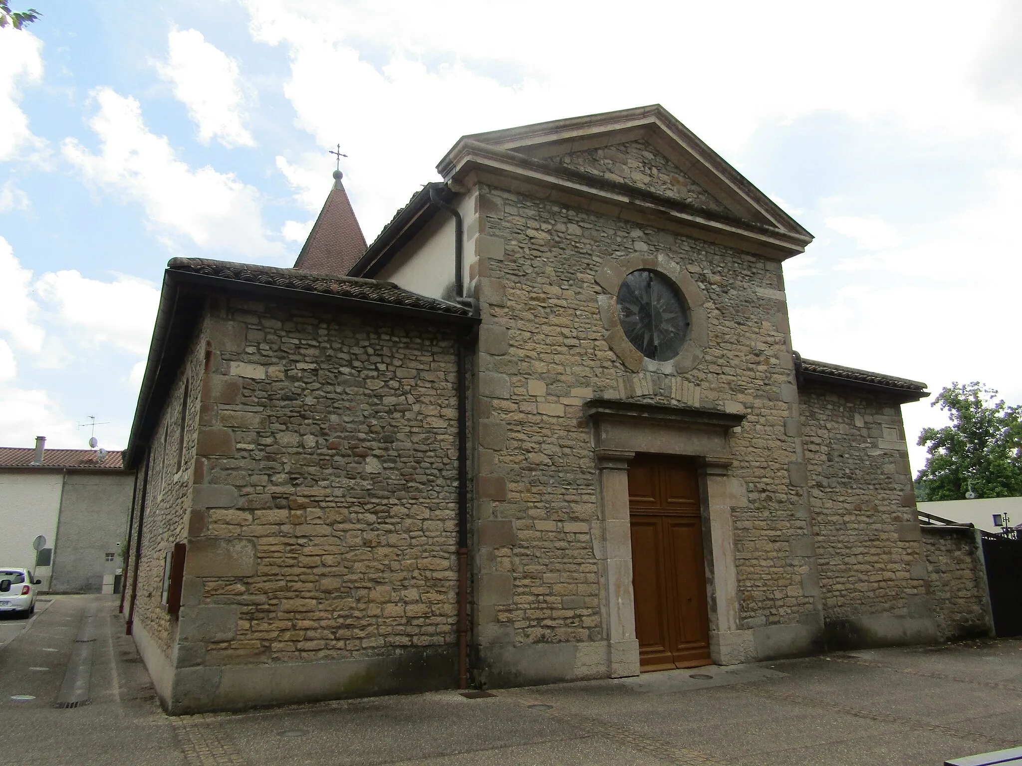
Immerse yourself in medieval charm on this gravel route near Cessieu
The Medieval Charm route transports cyclists back in time to discover the region's medieval heritage. Covering 48 kilometers with an ascent of 160 meters, this gravel route provides a unique perspective on the history and culture of the area. Highlights along this route include Bourgoin-Jallieu, where riders can explore its historic streets and immerse themselves in its rich past. The Commanderie du Temple de Vaulx offers a fascinating insight into the Templar history of the region. L'Isle-d'Abeau allows cyclists to observe the remnants of medieval architecture, while Château de Thézieux serves as a reminder of the region's medieval splendor.
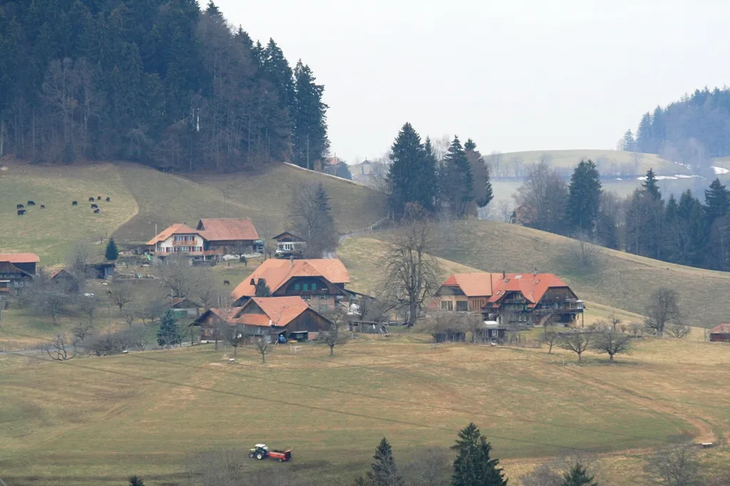
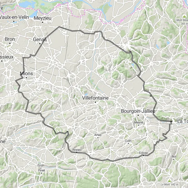
Discover the rolling hills around Cessieu in Rhône-Alpes
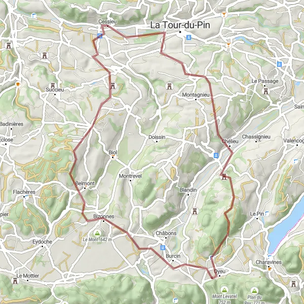
The Hills of Cessieu route takes cyclists through the beautiful landscapes of Rhône-Alpes, offering stunning views of the surrounding hills. With a total ascent of 862 meters and a distance of 70 kilometers, this road cycling route is suitable for well-trained amateur cyclists. The scenic highlights along this route include the charming towns of Sérézin-de-la-Tour, Saint-Agnin-sur-Bion, and Veyssilieu. Cyclists will also pass through Villefontaine and Vénérieu before returning to Cessieu. The route offers a moderate difficulty level and a sense of adventure as cyclists explore the picturesque countryside.
A scenic journey through charming towns
Experience the beauty of Montcarra, Les Avenières, and other picturesque towns on this road cycling route. With a total ascent of 766 meters over a distance of 67 kilometers, this route offers a moderate challenge suitable for well-trained amateur cyclists. The epicness rating for this route is 3, as it provides scenic views and the opportunity to explore charming French villages.
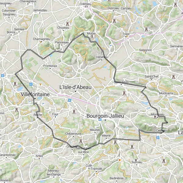
Gravel Adventure
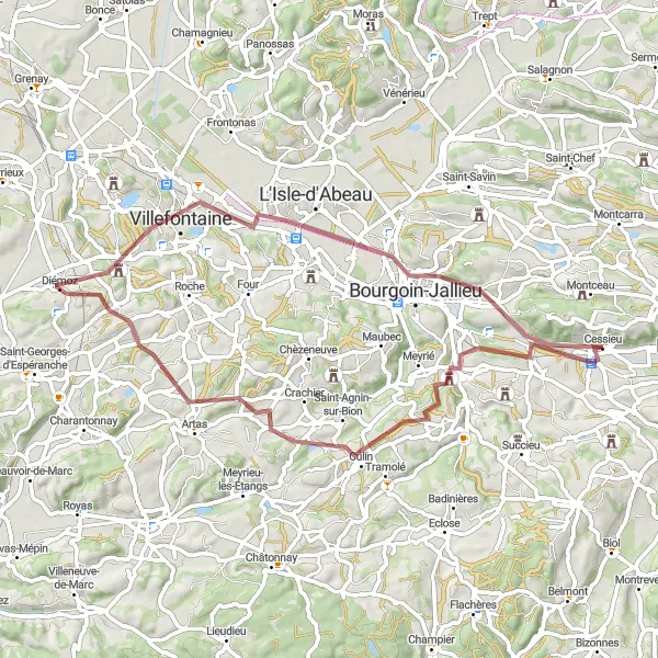
Embark on an adrenaline-fueled gravel adventure in Rhône-Alpes
The Gravel Adventure route is perfect for cyclists looking for an off-road adrenaline rush. This 60-kilometer route with 557 meters of ascent takes riders through the diverse landscapes of Rhône-Alpes. Highlights include the picturesque town of Sérézin-de-la-Tour and its beautiful countryside. Culin offers a delightful stopover with its charming streets and traditional houses. Cyclists will also pass through Diémoz and Villefontaine, each offering unique views of the region's natural beauty. The route concludes in Bourgoin-Jallieu, known for its rich history and cultural heritage. With a moderate difficulty level and stunning scenery, this gravel adventure promises an unforgettable experience.
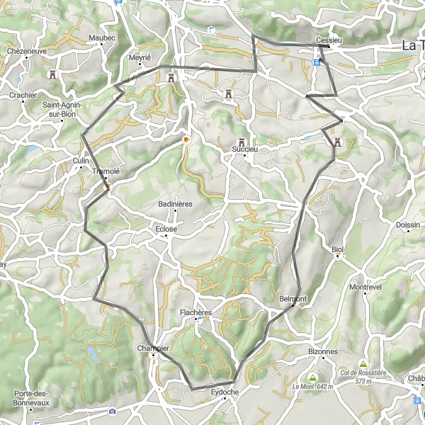
Experience the scenic countryside near Cessieu
The Scenic Delights route is a tranquil escape into the picturesque countryside surrounding Cessieu. Spanning 50 kilometers and with an ascent of 628 meters, this road cycling route offers a peaceful retreat for cyclists seeking quiet and natural beauty. Highlights along the way include the quaint village of Saint-Victor-de-Cessieu and its charming streets. Cyclists will also pass through Saint-Didier-de-Bizonnes, a small town known for its idyllic setting. Culin offers a delightful stopover with its traditional look and feel, while Meyrié provides scenic views of the mountains. The route concludes in Coiranne, an enchanting village showcasing the rural charm of the region.
Exploring the charming villages near Cessieu
This round-trip cycling route takes you through picturesque villages near Cessieu, offering scenic landscapes and a taste of rural France. With a moderate difficulty level and a total ascent of 792 meters over a distance of 53 kilometers, this route is suitable for well-trained amateur cyclists. The epicness rating for this route is 3, as it provides a lovely cycling experience, but does not include any famous or legendary climbs or spots.
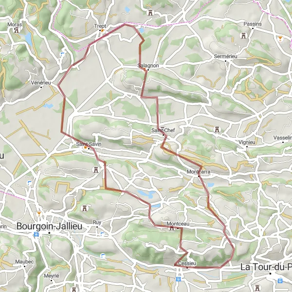
Exploring hidden gems in the Rhône-Alpes region
Embark on a gravel adventure through the lesser-known towns of Saint-Chef and Rochetoirin. With a total ascent of 735 meters over a distance of 44 kilometers, this route offers a moderate challenge suitable for gravel enthusiasts. The epicness rating for this route is 3, as it provides a unique cycling experience through charming French villages.
Cycling routes nearby:
Nearby regions: