Serene cycling routes and opportunities for off-road adventures.
Cycling routes from Saint-Clair-de-la-Tour
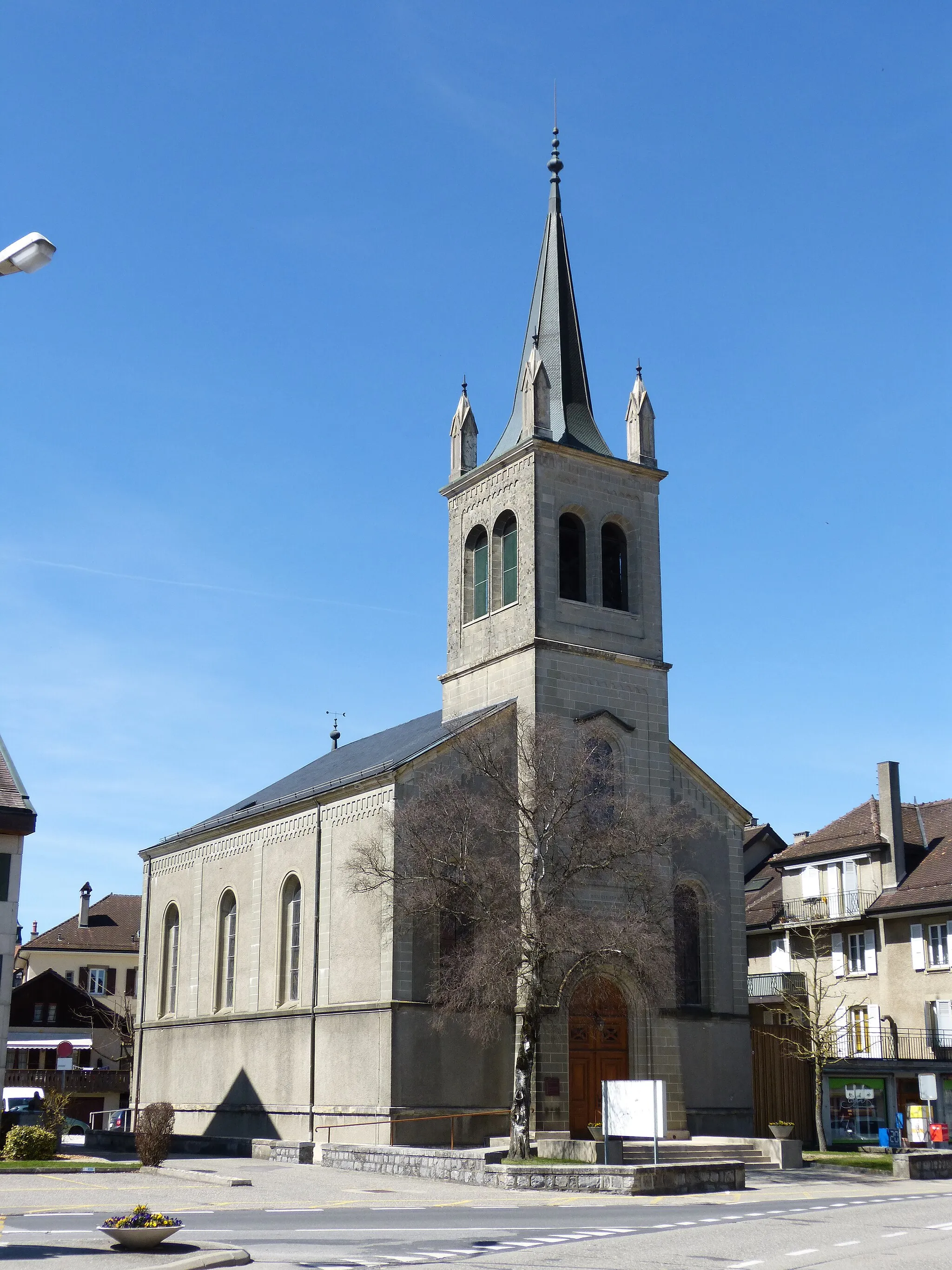
Saint-Clair-de-la-Tour is situated in the Rhône-Alpes region of France. From a road and gravel cyclist's perspective, this locality provides decent cycling routes with moderate difficulty. While it may not offer any well-known cycling spots, the serene countryside and quiet roads make it a suitable location for leisurely rides and exploration. The surrounding area also provides opportunities for off-road and gravel cycling adventures.

Exploring rural landscapes and charming villages
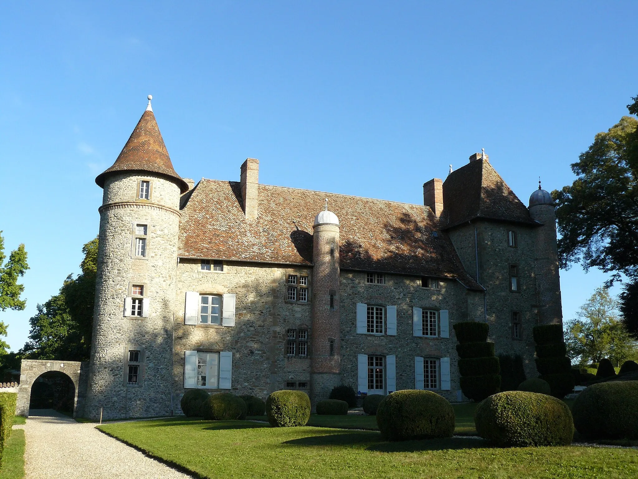
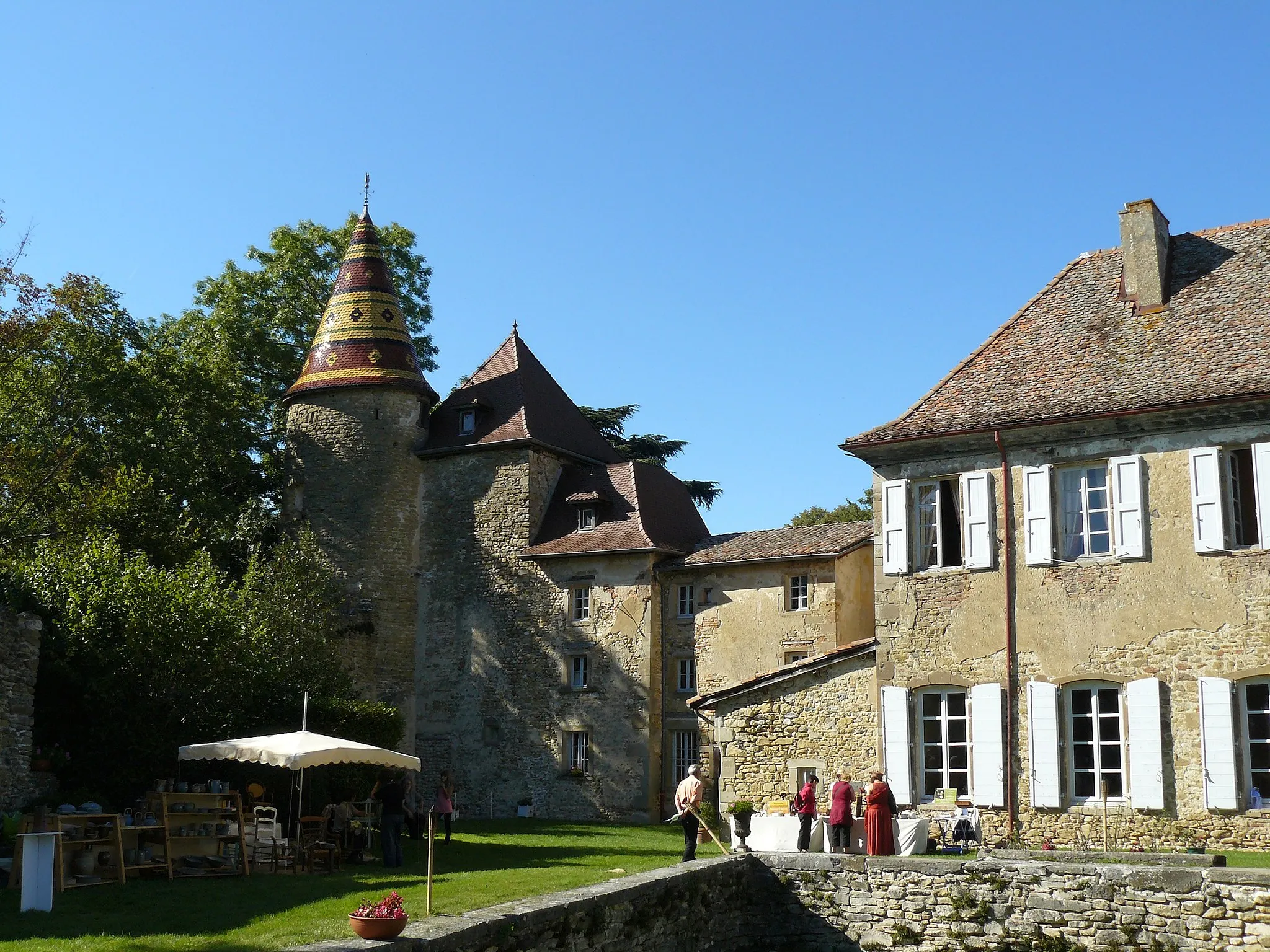
Meander through the picturesque countryside on this 62-kilometer road cycling route. With a moderate ascent of 658 meters, the route offers a pleasant challenge for cyclists of various levels. As you pedal along, Meyrié offers a fantastic backdrop with sprawling fields and lush greenery. Located further along the route is Saint-Marcel-Bel-Accueil, a small village boasting charming streets and tranquil scenery. Vignieu enchants with its idyllic beauty, featuring quaint houses and vibrant flowers. The route concludes at La Chapelle-de-la-Tour, where you can soak in the serenity of its countryside setting. Overall, this route offers a tranquil escape from the bustle of city life, allowing cyclists to reconnect with nature and discover the hidden gems of Rhône-Alpes.

Explore the scenic route from La Tour-du-Pin to La Chapelle-de-la-Tour
This round-trip cycling route takes you through picturesque towns and beautiful countryside. You will experience diverse landscapes and charming villages along the way, making it a perfect option for a day of cycling in Rhône-Alpes, France.
Cycle through picturesque landscapes from Torchefelon to La Chapelle-de-la-Tour
Immerse yourself in the beauty of the Rhône-Alpes region as you cycle from Torchefelon to La Chapelle-de-la-Tour. This scenic route will take you through rolling hills, charming villages, and breathtaking views, providing an unforgettable cycling experience.
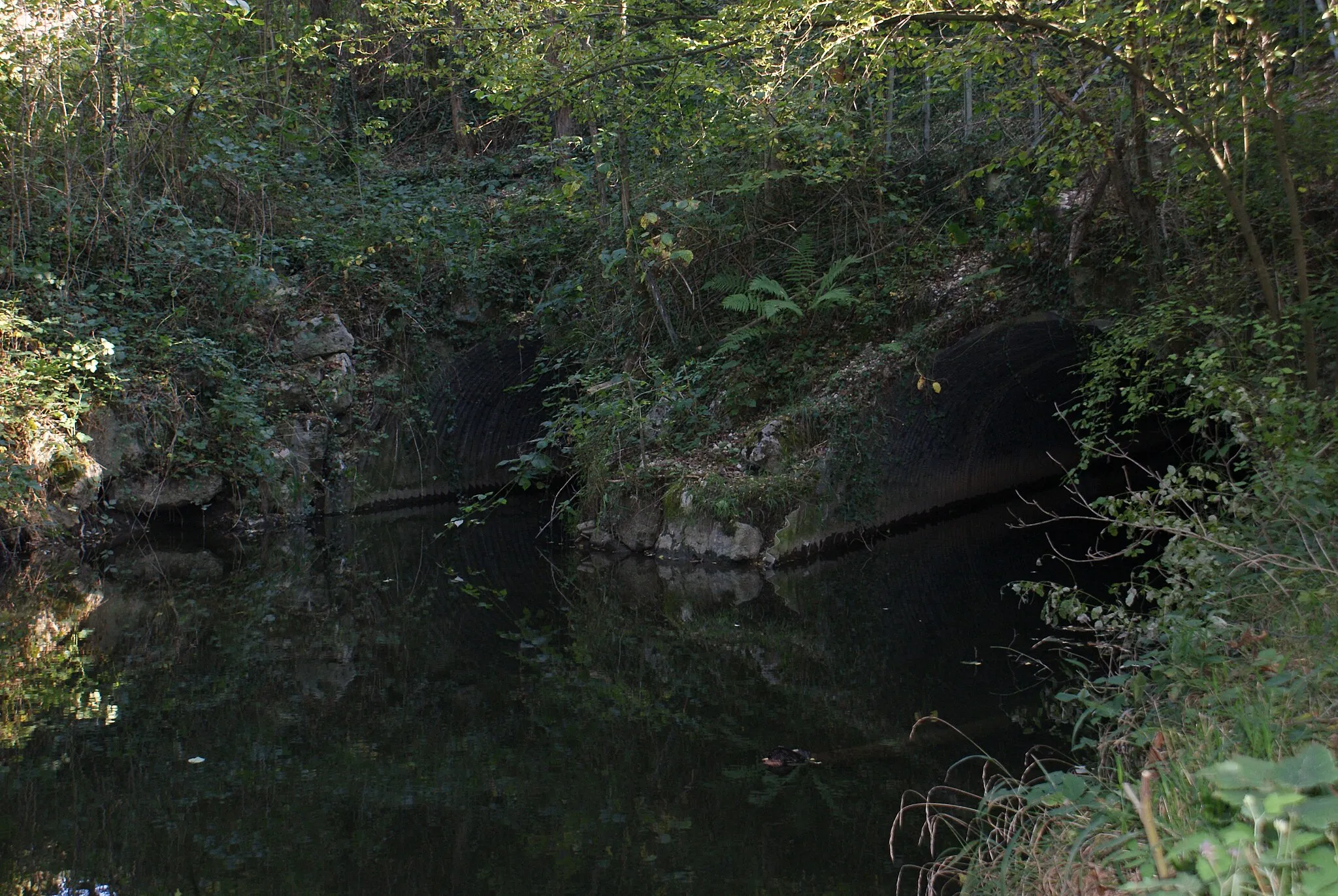
Discover the scenic countryside and charming villages near Saint-Clair-de-la-Tour on this gravel tour.
Explore the picturesque Rhône-Alpes region on this 69 km gravel tour starting from Saint-Clair-de-la-Tour. The route takes you through beautiful landscapes, charming villages, and offers breathtaking views along the way. With a moderate ascent of 770 meters, it is suitable for experienced amateur cyclists.

A scenic journey through lakes and mountains
Embark on a 124-kilometer adventure through Rhône-Alpes' breathtaking natural landscape. This road cycling route, with an ascent of 1800 meters, offers a challenge for experienced cyclists ready to tackle hills and descents. Along the way, you'll pass by Les Avenières, a charming town famous for its stunning views of the surrounding lakes and mountains. Colomieu, another highlight, is home to a captivating panoramic viewpoint that offers an unrivaled vista. As you continue your journey, you'll encounter other highlights such as La Pierre Noire and Conjux, each providing unique and memorable experiences. This route guarantees an unforgettable cycling tour amid stunning lakes and majestic mountains.
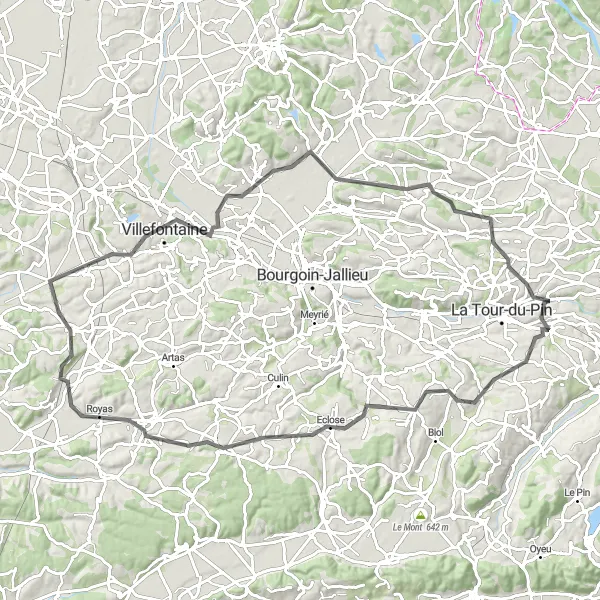
La Tour-du-Pin to Dolomieu

Discover the countryside from La Tour-du-Pin to Dolomieu
Embark on this challenging round-trip cycling route that takes you through the breathtaking countryside from La Tour-du-Pin to Dolomieu. Along the way, you will pass through picturesque towns and beautiful landscapes, making it an unforgettable cycling experience.
Conquer challenging climbs and absorb breathtaking mountain views
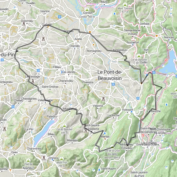
Get ready for an exhilarating adventure on this 90-kilometer road cycling route that winds its way through rugged mountains and offers awe-inspiring views. With an ascent of 1775 meters, this route is recommended for experienced cyclists seeking a challenge. Granieu, located at the foot of the mountains, greets riders with its charming ambiance and tranquil surroundings. The historic village of Avressieux boasts beautiful stone houses and picturesque narrow streets. Stop at Notre-dame du Château for a unique spiritual experience and appreciate the beauty of this mountainous setting. The climb up Col du Baracuchet rewards cyclists with stunning vistas that stretch as far as the eye can see. As the route continues, Merlas amazes with its peaceful farmlands and stunning natural panoramas. Valencogne enchants with its timeless appeal, featuring historic buildings and rolling hills. Finally, the route concludes at the picturesque village of Saint-Didier-de-la-Tour, nestled amidst majestic mountains. This challenging route guarantees an unforgettable experience for avid cyclists.
Fontaine Vaucluse and back
Cycling through picturesque countryside and charming villages
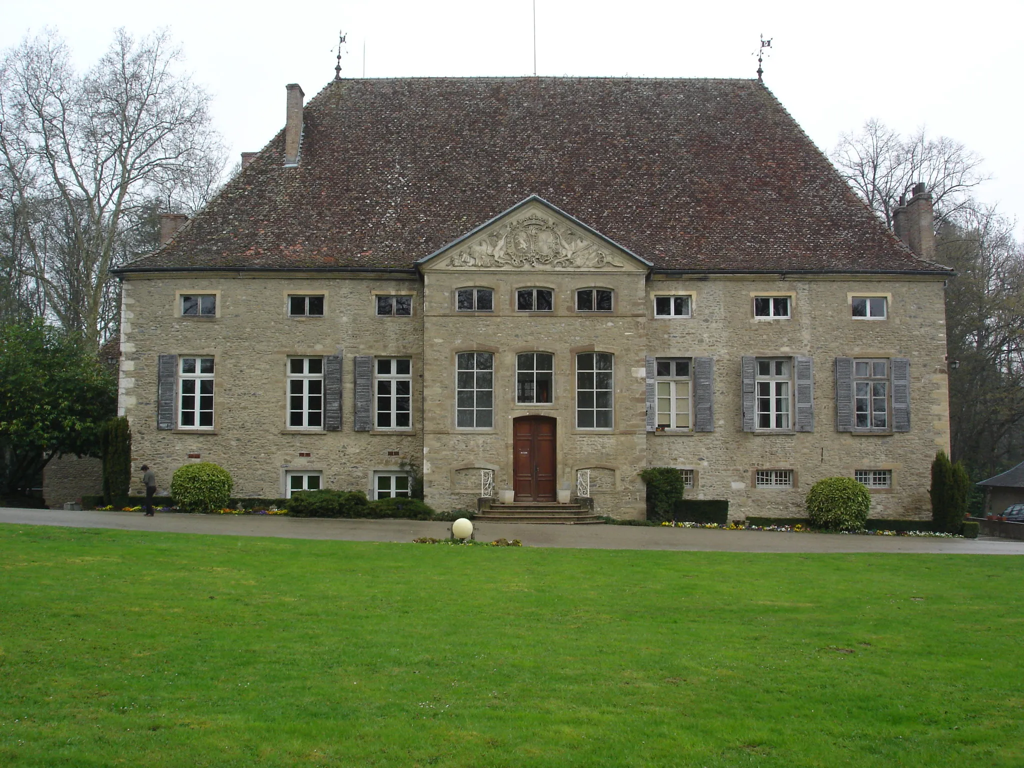
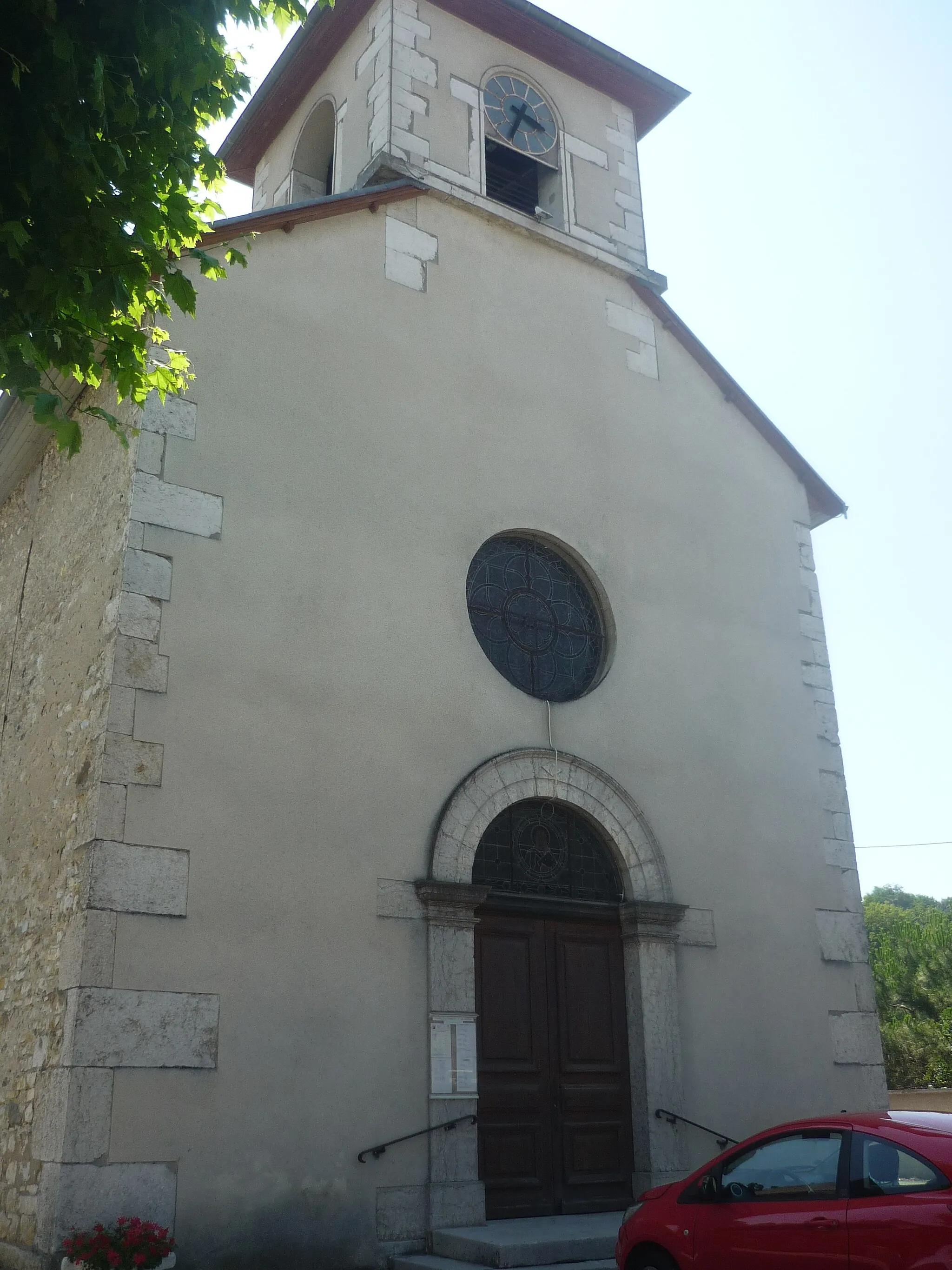
This cycling route takes you through the beautiful countryside of Saint-Clair-de-la-Tour, Rhône-Alpes, France. With a distance of 78 kilometers and an ascent of 1193 meters, it offers a moderate challenge for amateur cyclists. The route is predominantly on road, making it perfect for road cycling enthusiasts. One of the highlights along the route is La Bâtie-Montgascon, a charming village with historical buildings and traditional French architecture. Another highlight is Tourniquet de Pierre-Chave, a unique rock formation that offers stunning views of the surrounding landscape. Overall, this route offers a mix of natural beauty and cultural charm, making it a delightful cycling experience.

Enjoy a scenic ride from Saint-Didier-de-la-Tour to La Tour-du-Pin
Take in the beauty of the Rhône-Alpes countryside on this scenic cycling route from Saint-Didier-de-la-Tour to La Tour-du-Pin. Experience the charm of traditional French villages and enjoy the peaceful atmosphere of the region.

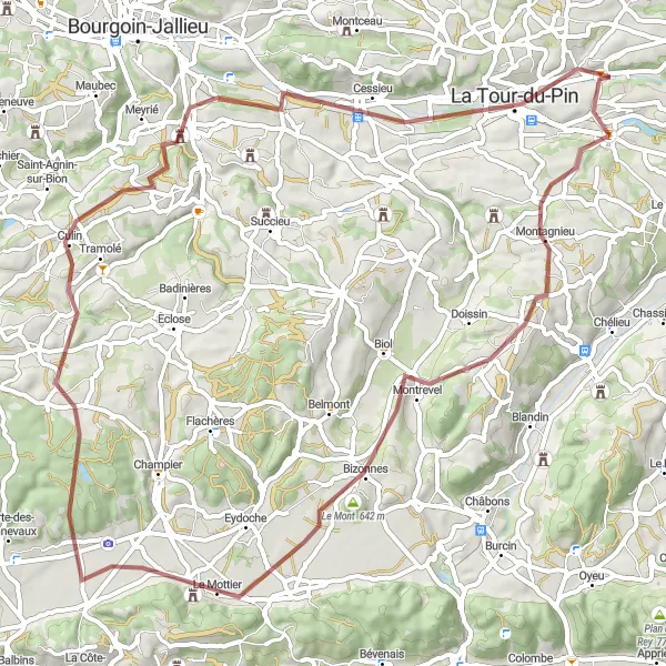
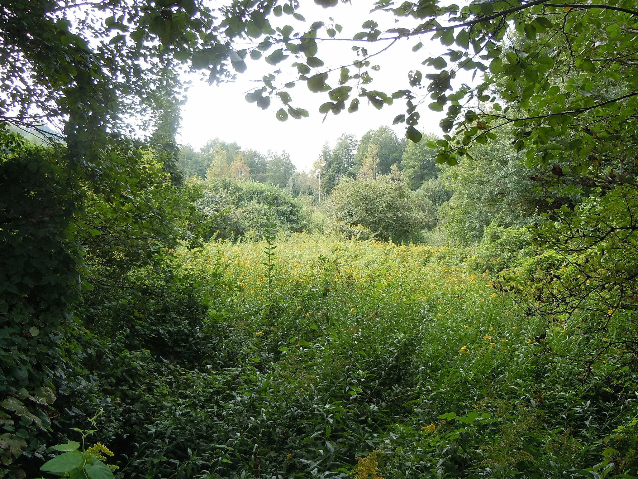
Exploring the rural countryside on gravel paths
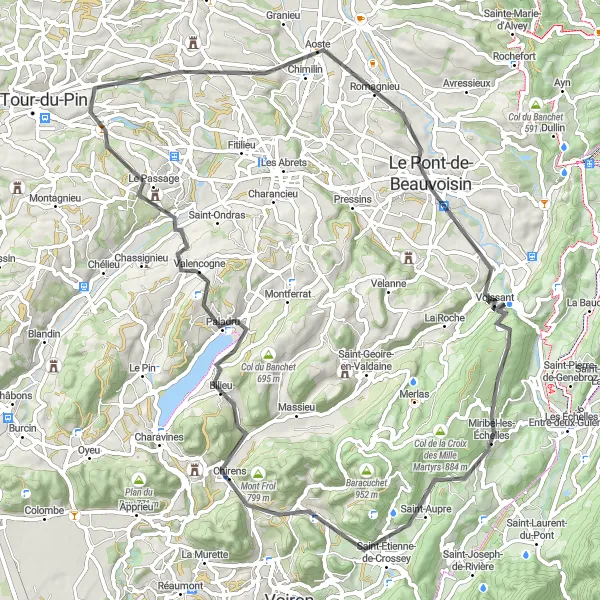
For gravel enthusiasts, this route offers a thrilling adventure around the Saint-Clair-de-la-Tour area. Stretching over 54 kilometers with an ascent of 691 meters, it is suitable for intermediate-level cyclists. The gravel paths provide a challenging ride and an opportunity to experience the rustic charm of the Rhône-Alpes region. One of the highlights along the route is Bizonnes, a small village surrounded by scenic landscapes. Take a moment to appreciate the picturesque views of the countryside. Another highlight is Succieu, a historic village known for its medieval architecture and charming streets. Overall, this route offers a unique and exciting gravel cycling experience.
Cycling routes nearby:

Nearby regions: