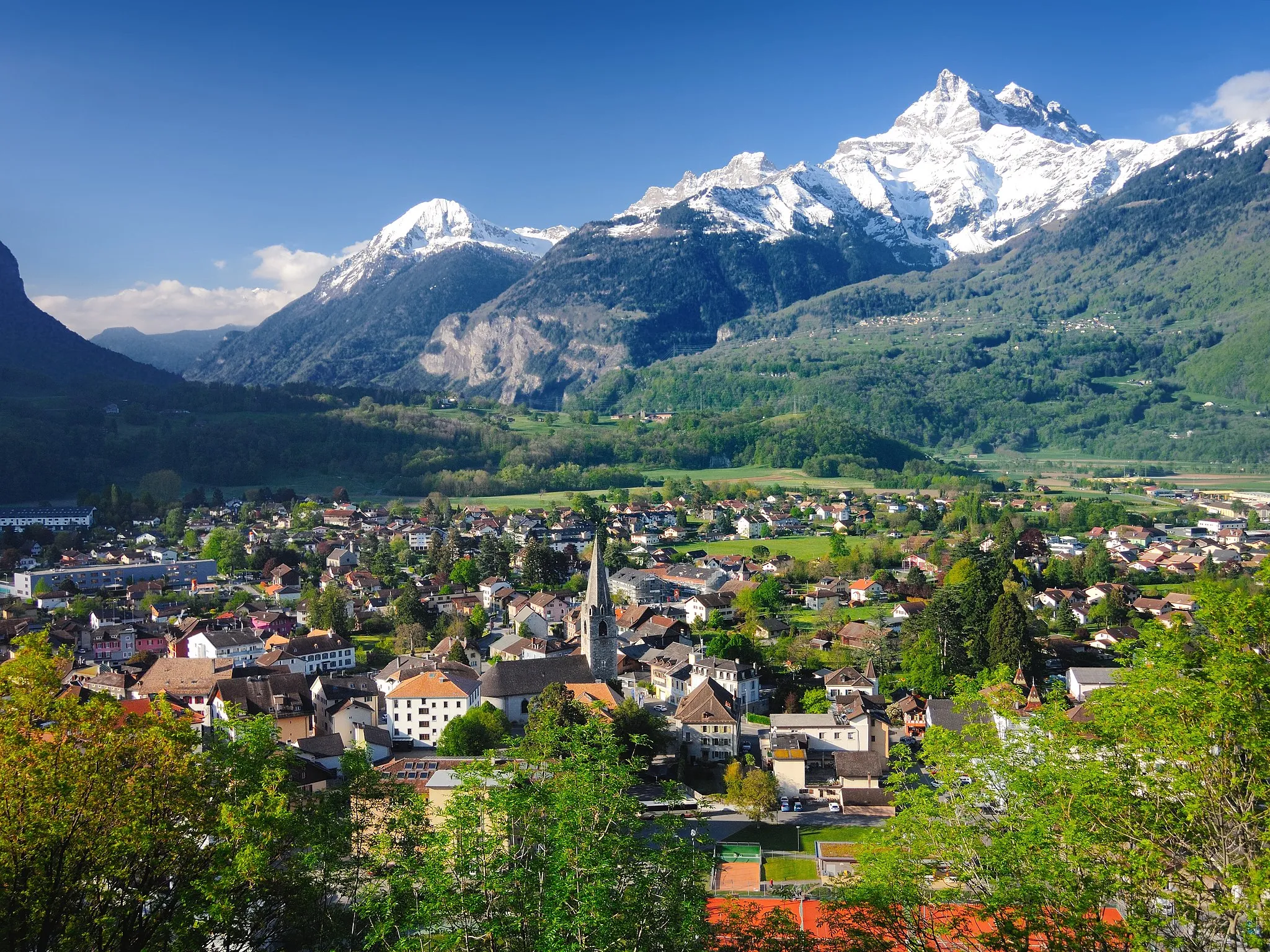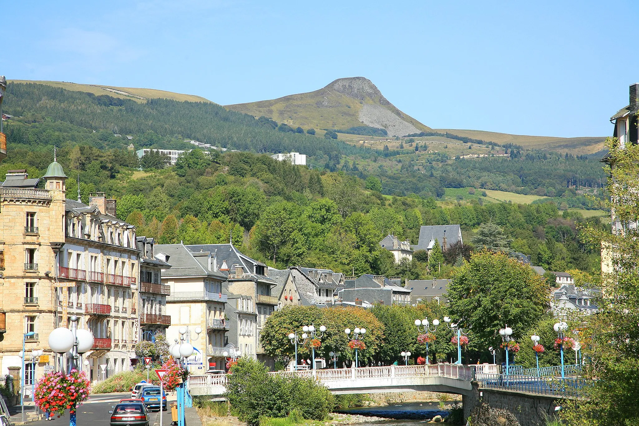
Discover rolling terrain and the iconic Col de Porte climb in La Bâtie-Montgascon.
Cycling routes from La Batie-Montgascon
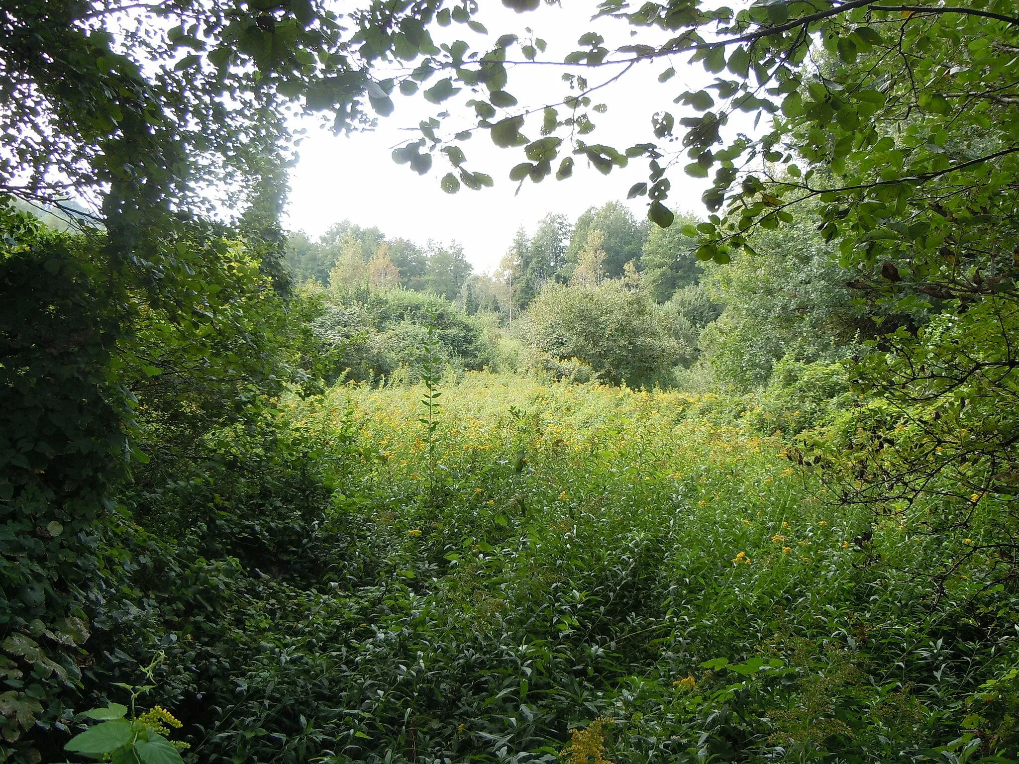
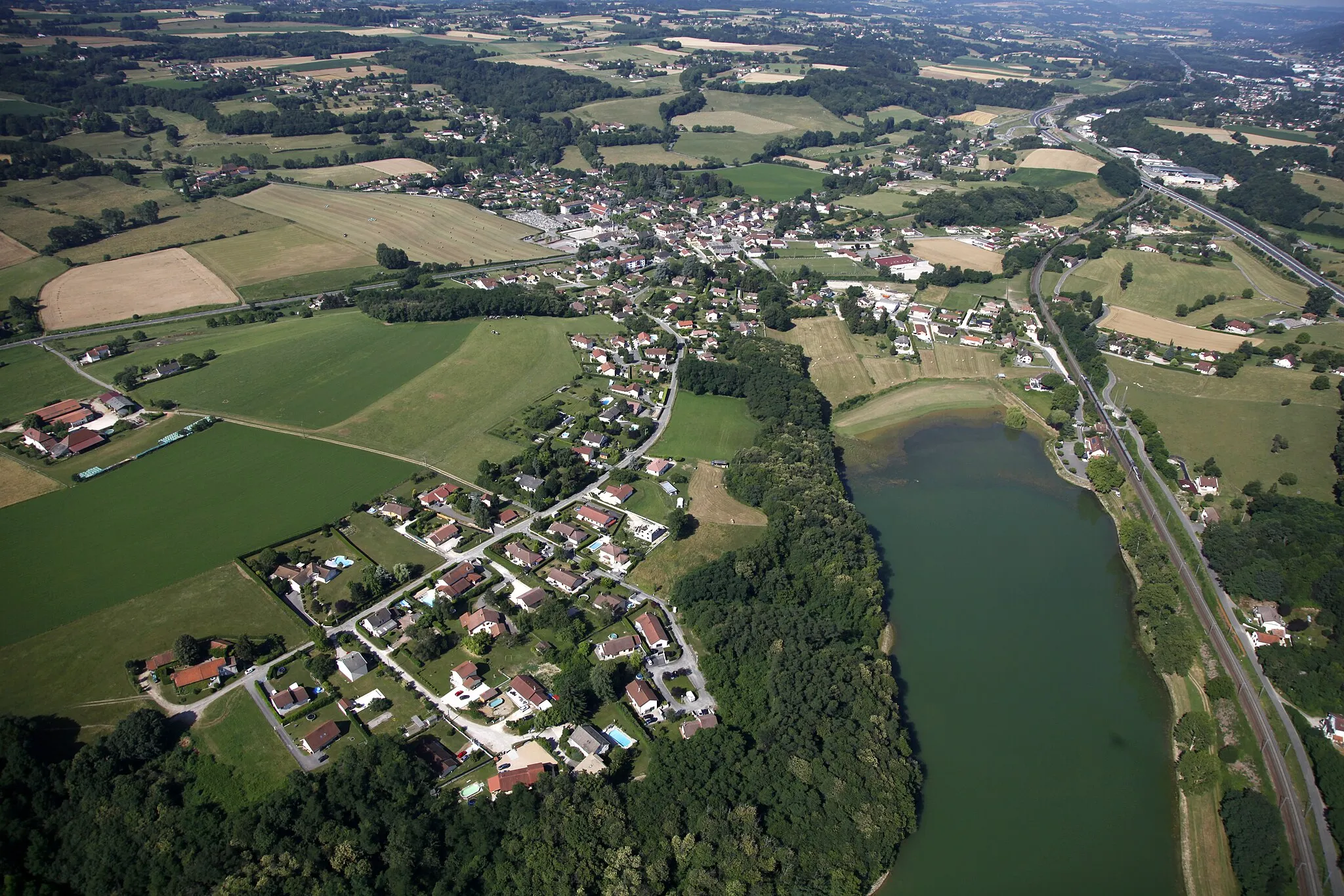
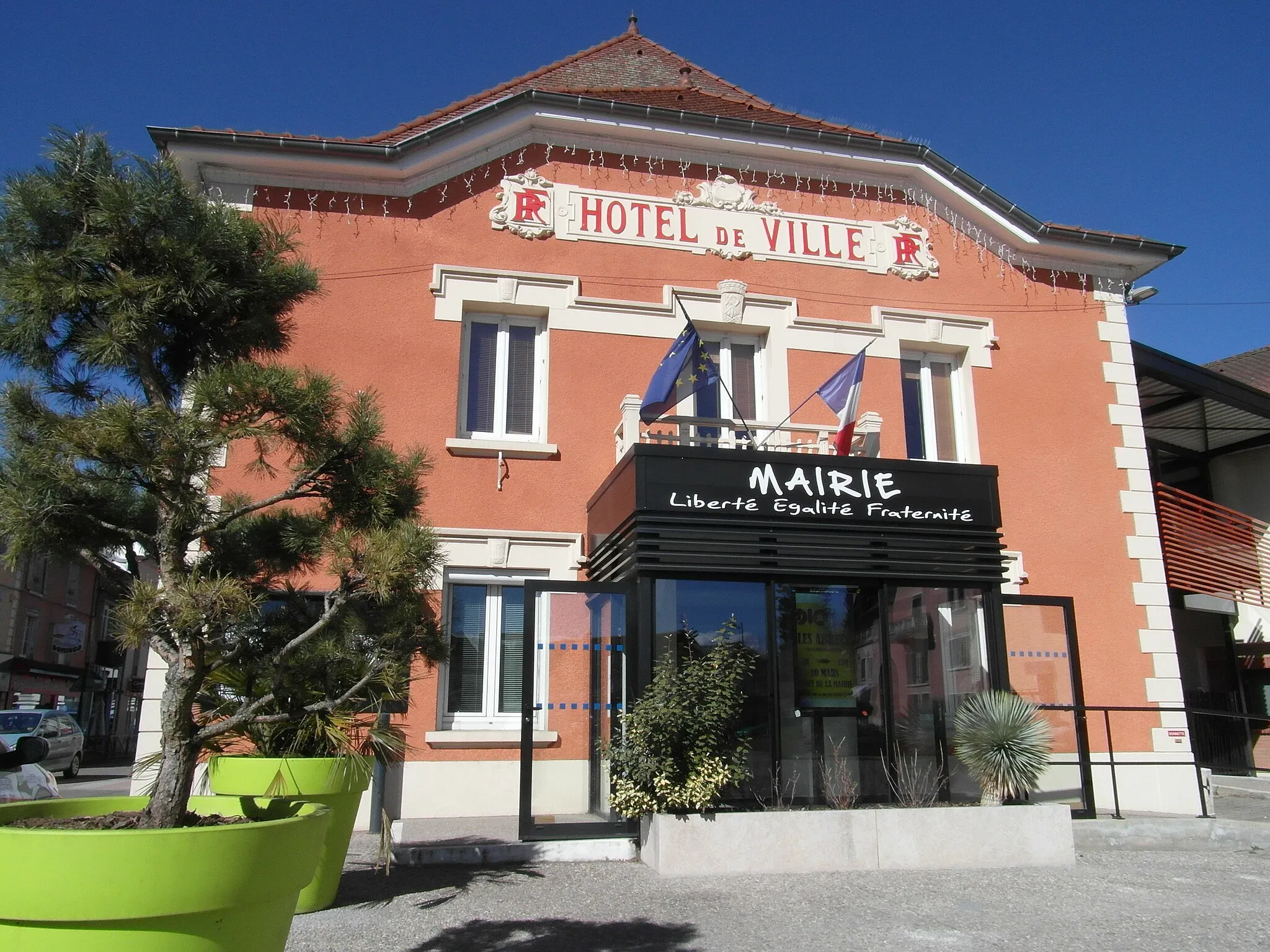
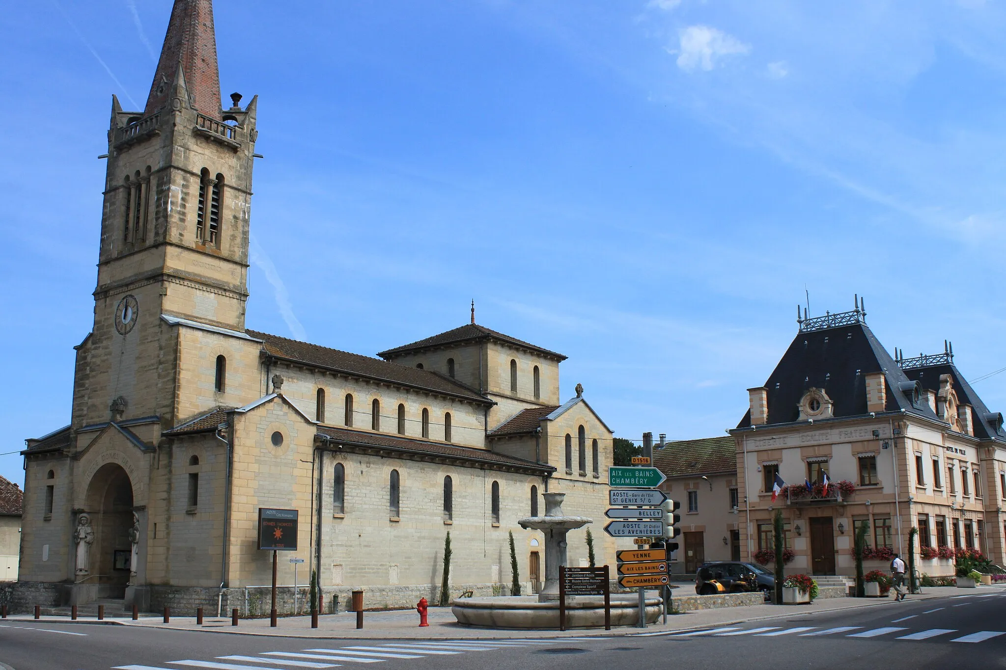
La Bâtie-Montgascon is a charming locality in the Rhône-Alpes region of France. From a cyclist's point of view, it offers a mix of quiet country roads and rolling terrain, perfect for both road and gravel cycling. The area around La Bâtie-Montgascon is known for its scenic beauty, with lush green fields and serene landscapes. Cyclists can enjoy exploring the countryside while taking in the picturesque views. It's worth mentioning that the nearby iconic climb, Col de Porte, is a must-visit for cycling enthusiasts. Overall, La Bâtie-Montgascon provides a delightful cycling experience for riders looking to combine outdoor adventure with natural beauty.
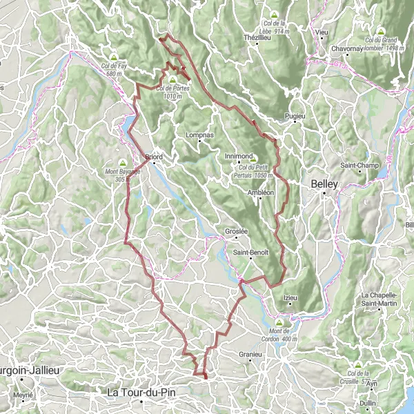
Conquer challenging climbs and enjoy panoramic views on this hilltop route
Get ready for a challenging adventure as you conquer steep climbs and pedal through breathtaking landscapes on this hilltop route. With a total ascent of 1291 meters over 124 kilometers, this route is designed for experienced cyclists seeking an epic challenge. Starting near La Bâtie-Montgascon, highlights along the way include Saint-Clair-de-la-Tour and Vignieu. Experience the thrill of conquering legendary climbs and be rewarded with sweeping vistas from the hilltops.
Scenic Gravel Ride
Explore the picturesque countryside of Rhône-Alpes on this gravel cycling route.
This scenic gravel route near La Bâtie-Montgascon takes riders on a 60-kilometer journey through charming towns and beautiful landscapes. With a total elevation gain of 811 meters, cyclists can enjoy a mix of rolling hills and flat sections. The route offers a great balance between challenge and enjoyment, making it suitable for well-trained amateurs. It showcases the unique beauty of the region, featuring highlights such as Saint-Didier-de-la-Tour, Torchefelon, and Château.
Take on the challenge of this demanding road circuit near La Bâtie-Montgascon.
This 91-kilometer road circuit is a real test of endurance for cyclists. With a demanding ascent of 1318 meters, it is recommended for well-trained amateurs looking to push their limits. Highlights include Belmont-Tramonet, a charming village nestled amidst stunning mountain scenery, and Entre-deux-Guiers, known for its picturesque streets and natural beauty. The route also passes by Rocher de la Garde, a scenic lookout point offering panoramic views of the region.
The Scenic Gravel Route
Experience the beauty of the Rhône-Alpes region on this scenic gravel route
Escape into nature as you cycle through beautiful countryside, charming towns, and tranquil forests on this scenic gravel route. With a total ascent of 753 meters over 84 kilometers, this route offers a mix of challenging climbs and fast descents. Starting near La Bâtie-Montgascon, highlights along the way include Cessieu and Bourgoin-Jallieu. Immerse yourself in the natural beauty of the Rhône-Alpes region as you pedal through breathtaking landscapes.
Epic Road Journey
Embark on an epic road journey through the breathtaking landscapes near La Bâtie-Montgascon.
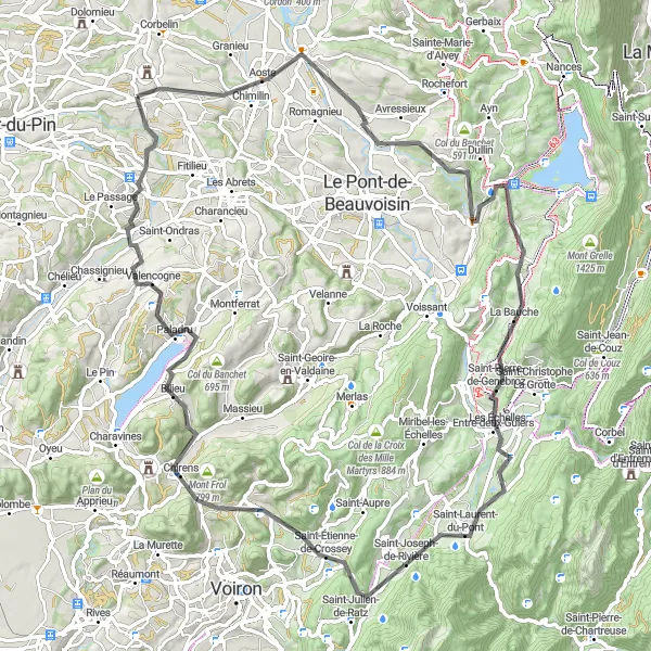
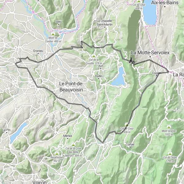
This 100-kilometer road route is an epic adventure for seasoned cyclists. With a challenging ascent of 2099 meters, it offers a true test of endurance and skill. Highlights include Chimilin, a village known for its charming streets and historical sites, and the famous Col de l'Épine, a legendary climb favored by professional cyclists. Cyclists will also have the opportunity to visit Chambéry, a stunning city with a rich history, and Terrasse de Montgelas, offering panoramic views of the surrounding mountains. The route ends with a visit to the picturesque village of La Bâtie-Montgascon.
Pedal through the gravel roads of La Bâtie-Montgascon
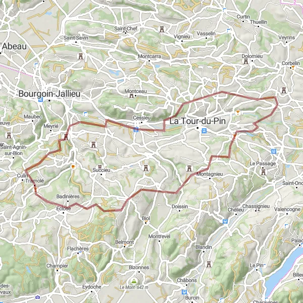
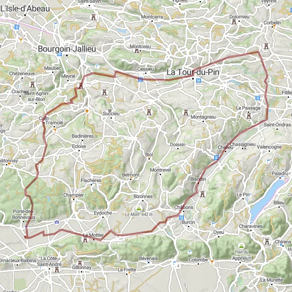
Explore the scenic countryside and charming towns on this gravel route starting near La Bâtie-Montgascon in Rhône-Alpes, France. With a total distance of 82 km, this route offers a mix of flat sections and challenging ascents, providing a suitable challenge for well-trained amateur cyclists. The route features several highlights, including the picturesque town of Saint-André-le-Gaz, the historic Château de Châbons, and the beautiful landscapes of Mont Avalon. Whether you're seeking a challenging off-road adventure or simply want to enjoy the natural beauty of the region, this gravel route is sure to deliver a memorable cycling experience.
Countryside Gravel Expedition
Embark on an adventurous gravel expedition through the stunning countryside near La Bâtie-Montgascon.
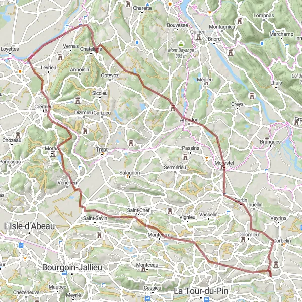
This 85-kilometer gravel route offers an immersive experience in the beautiful Rhône-Alpes region. With a challenging ascent of 973 meters, the route is suitable for well-trained amateurs seeking a rewarding cycling experience. Highlights include the village of Saint-Chef, known for its picturesque streets and historic abbey, and Hières-sur-Amby, a hidden gem with charming architecture and panoramic views. Cyclists will also have the chance to explore Morestel, a delightful town with an artistic atmosphere.
The Hilly Gravel Adventure
Explore the rolling hills and charming towns along this gravel route
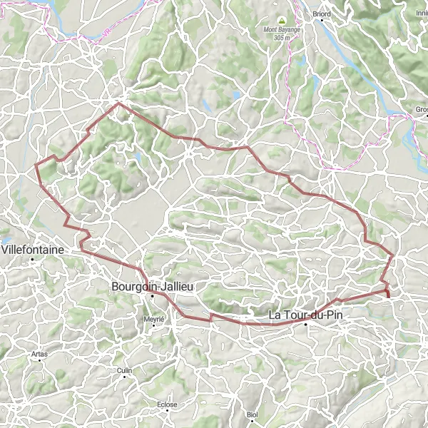
This hilly gravel route takes you through picturesque towns and rolling countryside. With a total ascent of 1966 meters over 118 kilometers, get ready for a challenging but rewarding adventure. The route starts near La Bâtie-Montgascon and passes highlights such as Saint-Sorlin-de-Morestel and Villebois. Experience the beauty of the Rhône-Alpes region as you pedal through breathtaking landscapes and historic villages.
The Château Road Tour
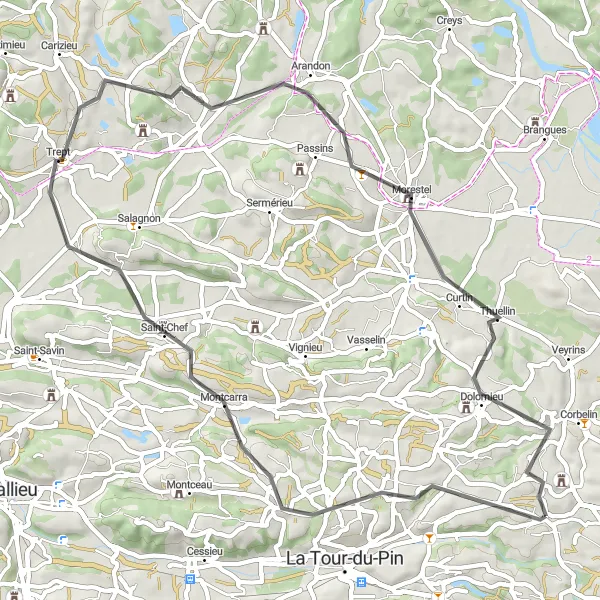
Embark on a journey through charming villages and historic châteaux on this road tour
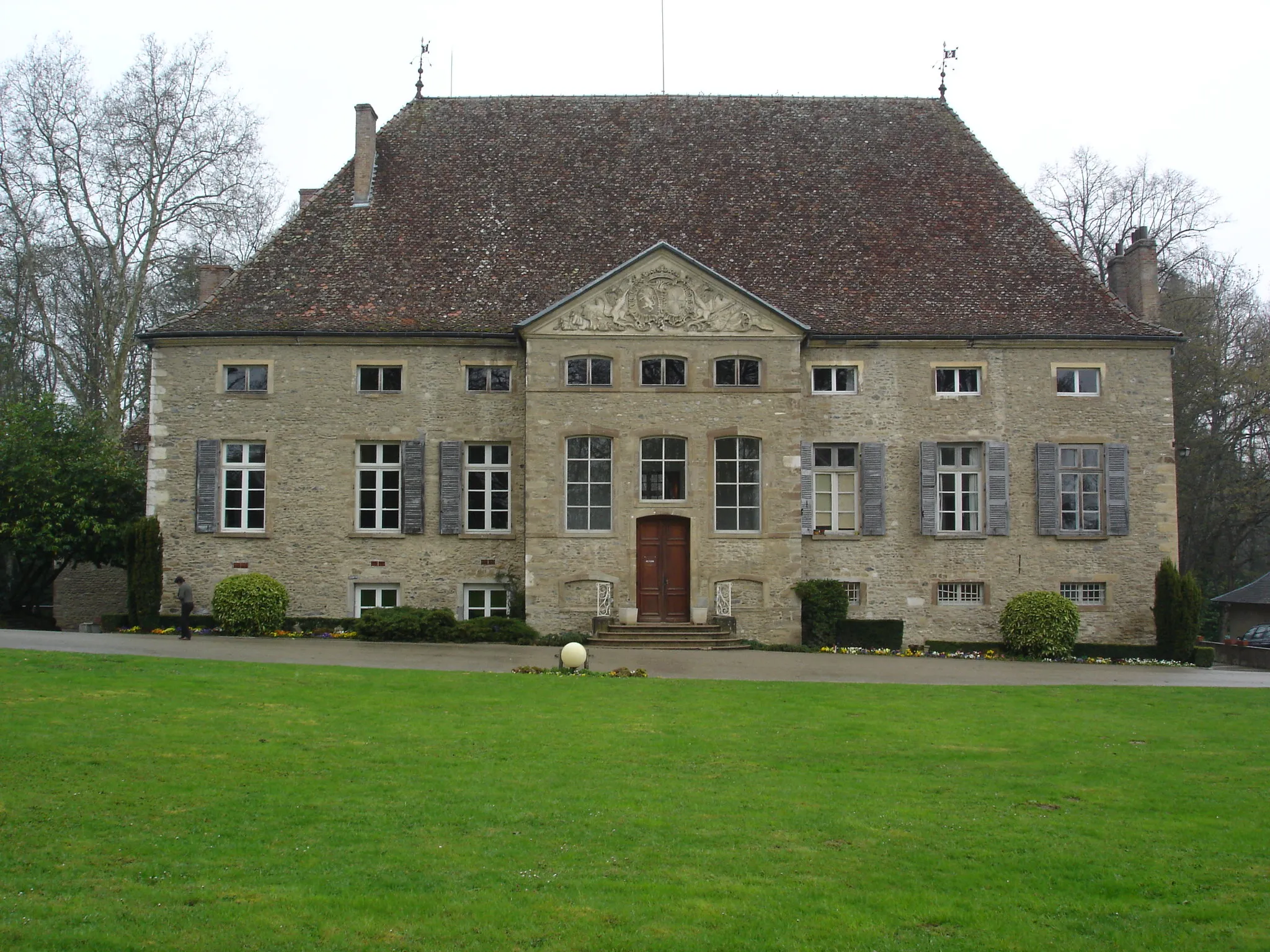
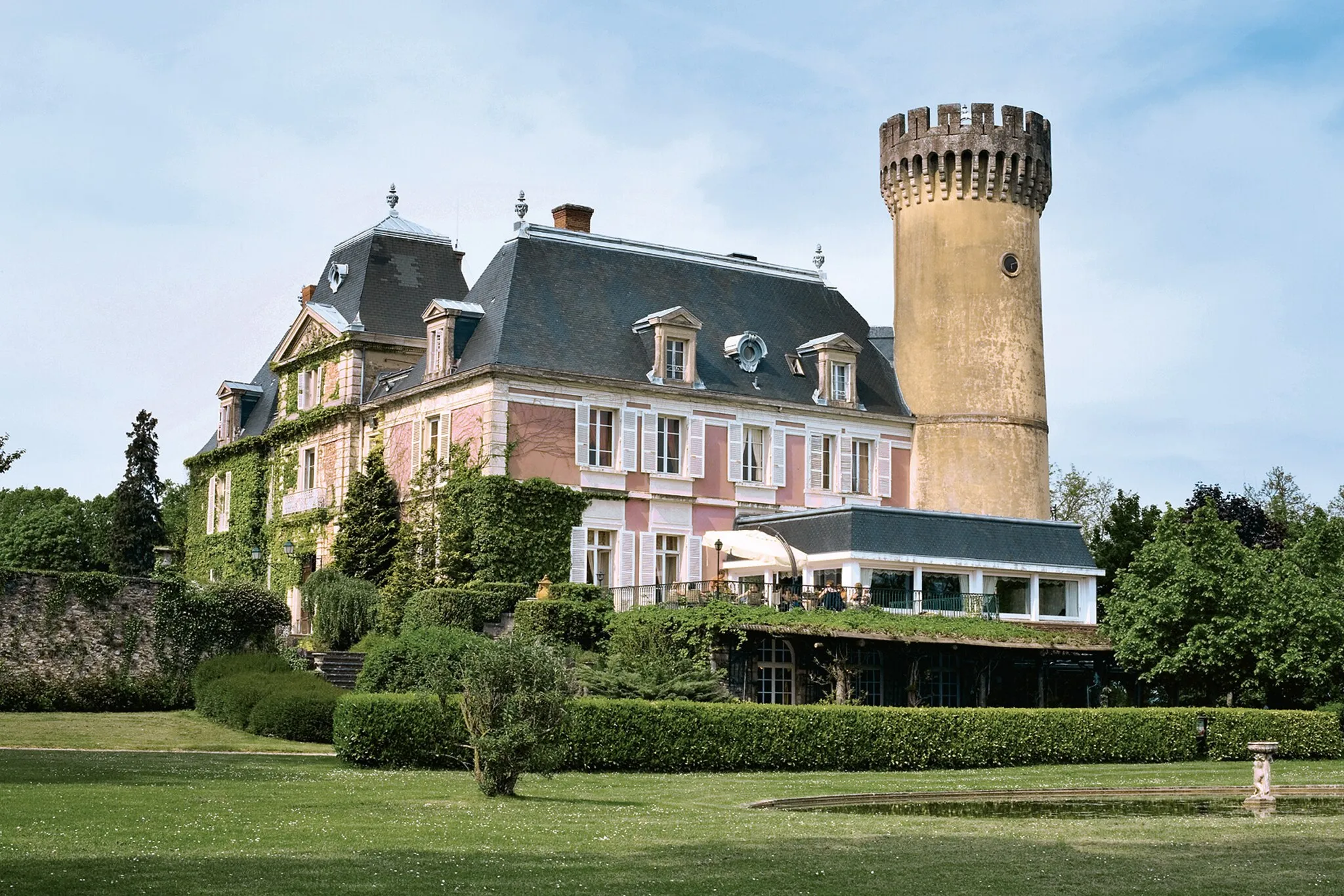
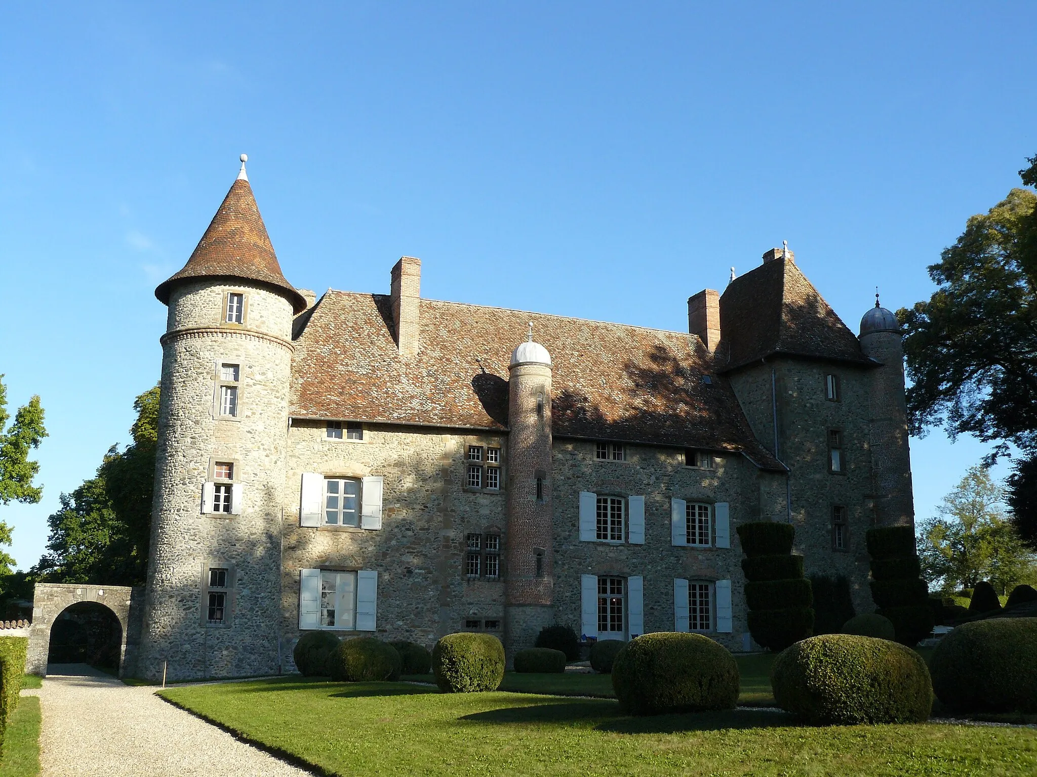
Experience the allure of the Rhône-Alpes region as you cycle through scenic countryside, visit charming villages, and marvel at the region's historic châteaux. With a total ascent of 672 meters over 57 kilometers, this road tour offers a mix of challenging climbs and leisurely sections. Starting near La Bâtie-Montgascon, highlights along the way include La Chapelle-de-la-Tour and the magnificent Château de Montcarra. Immerse yourself in the rich cultural heritage of the region as you pedal through picturesque landscapes.
The Picturesque Road Loop
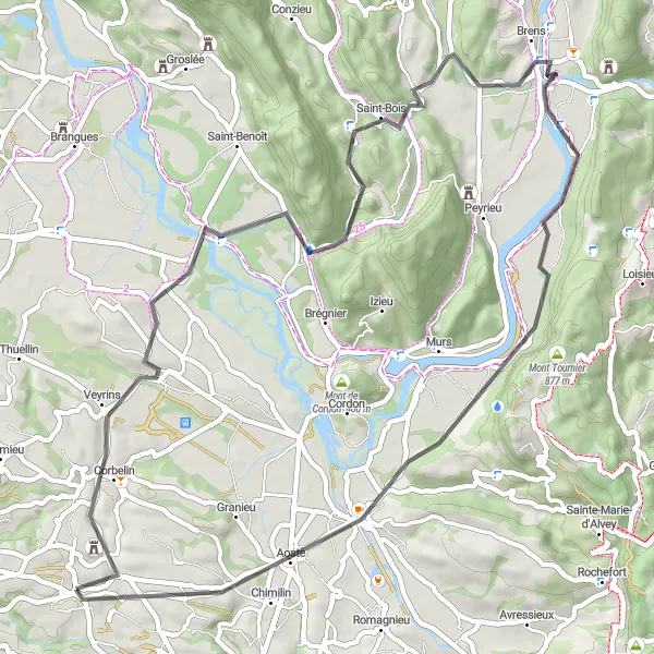
Discover the beauty of the Rhône-Alpes region on this scenic road loop
Immerse yourself in the stunning landscapes of the Rhône-Alpes region as you embark on this picturesque road loop. With a total ascent of 558 meters across 57 kilometers, this route is perfect for cyclists of all levels. Starting near La Bâtie-Montgascon, highlights along the way include Les Avenières and the charming village of Saint-Bois. Pedal through scenic countryside, pass by vineyards, and marvel at the panoramic views that await you.
Cycling routes nearby:

Nearby regions: