Explore the serene countryside on leisurely rides.
Cycling routes from Corbelin
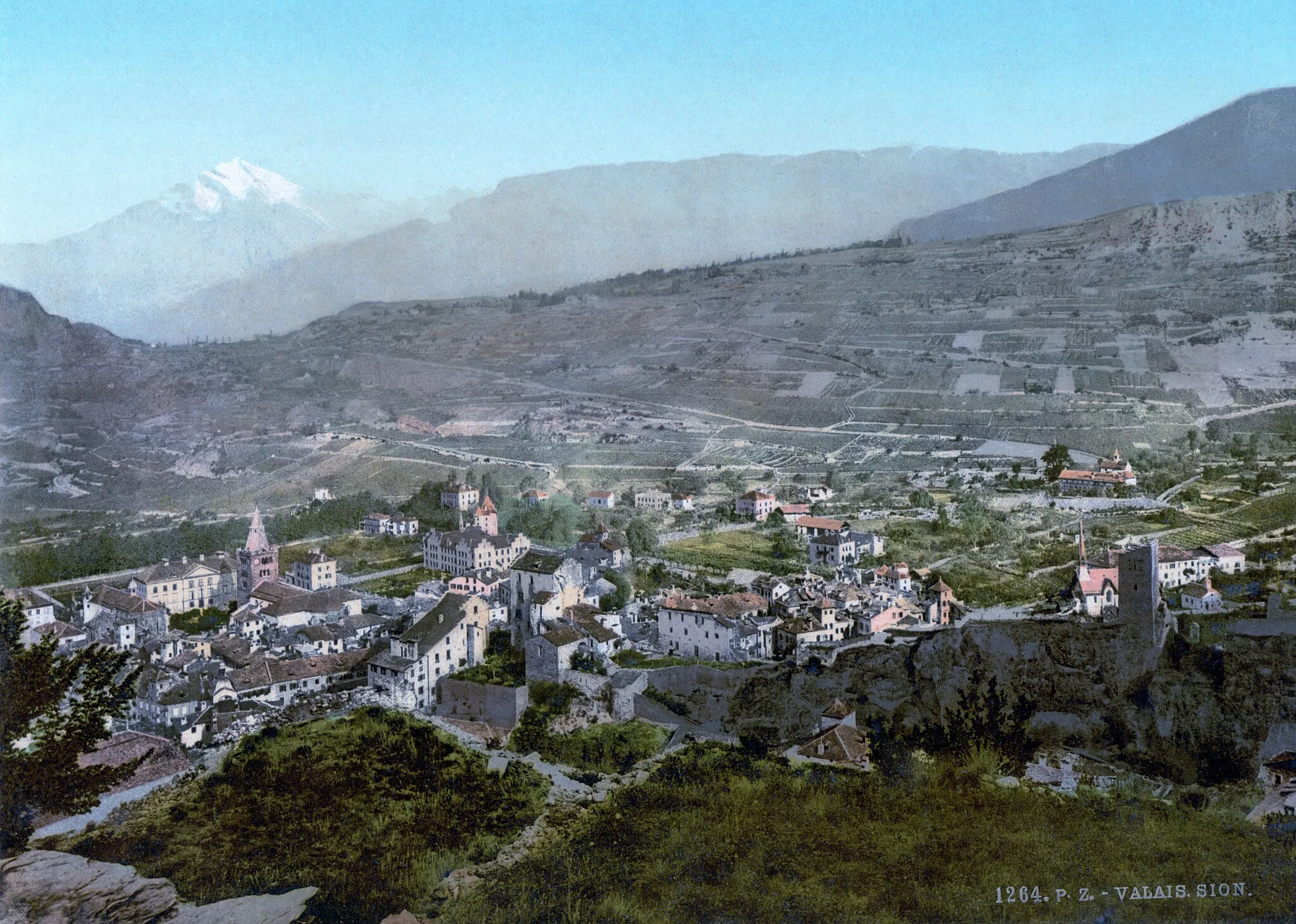
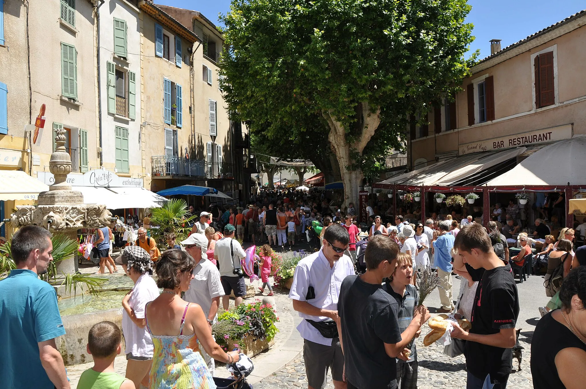
Corbelin is a small village located in the Rhône-Alpes region of France. For cyclists, this area provides moderate cycling possibilities with its undulating terrain and rural surroundings. While not particularly renowned for cycling, the locality offers some scenic routes along quiet roads. Cyclists can enjoy exploring the peaceful countryside and nearby villages. Corbelin does not have any famous cycling-related spots or well-known climbs in its proximity but presents a serene atmosphere for cycling enthusiasts.
An exhilarating ride through the Rhône-Alpes countryside
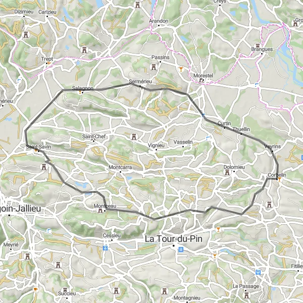
The Valley Loop is a 51 km road route that begins near Corbelin and takes cyclists through scenic towns and villages such as La Chapelle-de-la-Tour and Saint-Savin. With a total ascent of 509 m, this route offers a moderate challenge for well-trained amateurs. The beautiful landscapes and charming rural atmosphere make it a must-try for cycling enthusiasts.
Mountain Challenge
Embark on an epic mountain cycling journey in Rhône-Alpes
Mountain Challenge is a 99 km road route that takes cyclists on a challenging mountainous adventure near Corbelin. With a total ascent of 1687 m, this route is suitable for experienced cyclists seeking a thrilling challenge. From the picturesque village of Saint-Genix-les-Villages to the renowned Croix de Côte Curt, this route offers breathtaking views and rewarding accomplishments.
Explore the historic sites of Dolomieu and Crémieu
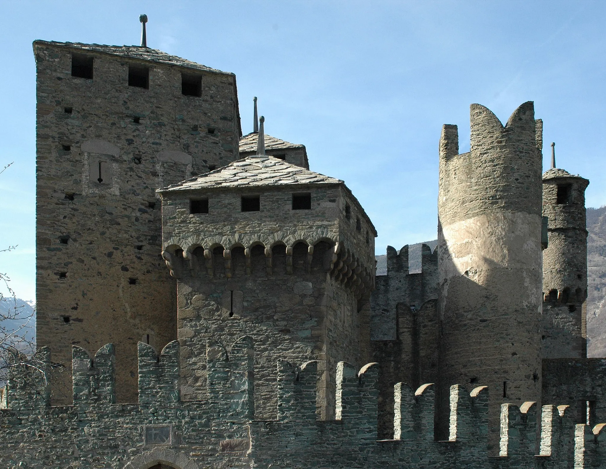
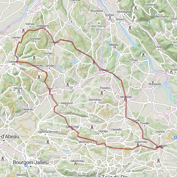
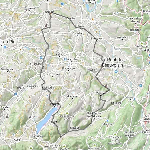
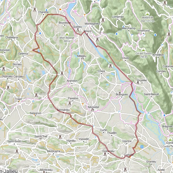
This gravel cycling route has a total ascent of 952 meters and a distance of 75 kilometers. Starting near Corbelin, the route takes you through picturesque landscapes, passing by the highlights of Dolomieu, Trept, and Optevoz. The highlight of the route is Crémieu, a medieval town with its ancient walls and impressive castle. Overall, this route is recommended for gravel enthusiasts who enjoy immersive cultural experiences and moderately challenging terrain.

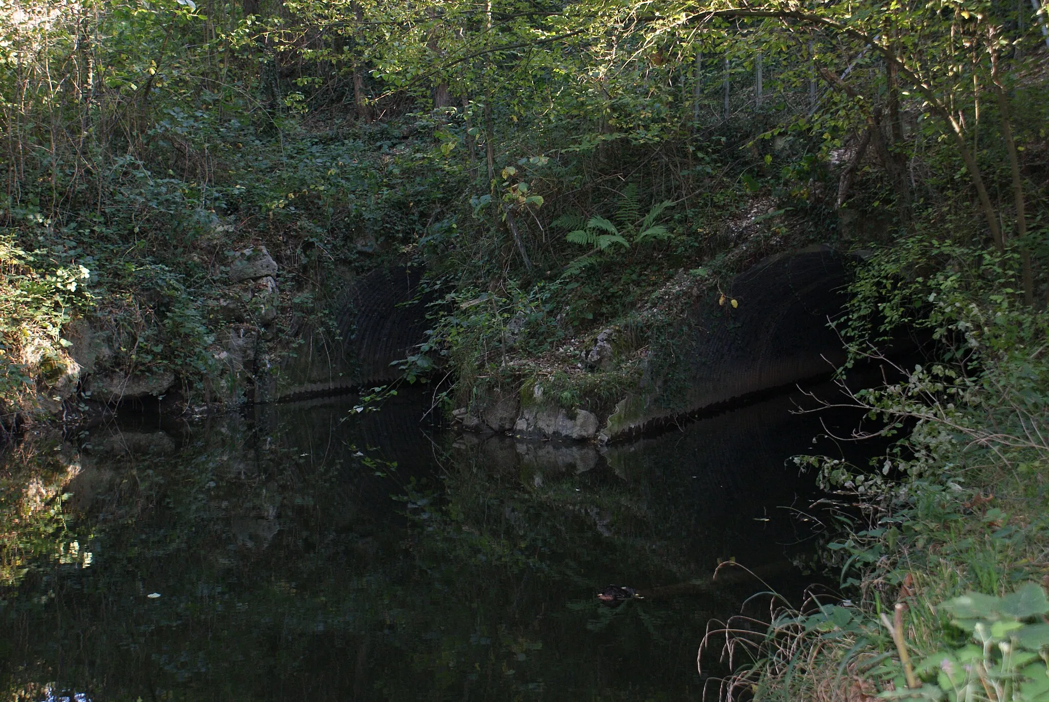
Admire the breathtaking Cascade de Glandieu
This road cycling route offers a total ascent of 1232 meters and covers a distance of 127 kilometers. Starting near Corbelin, the route takes you through scenic countryside, passing by the highlights of Dolomieu, Saint-Chef, and Saint-Rambert-en-Bugey. The highlight of the route is the Cascade de Glandieu, a stunning waterfall surrounded by lush greenery. Overall, this route is recommended for experienced cyclists who enjoy challenging climbs and natural attractions.
Alpine Escapade

Embark on a scenic cycling journey through the French Alps
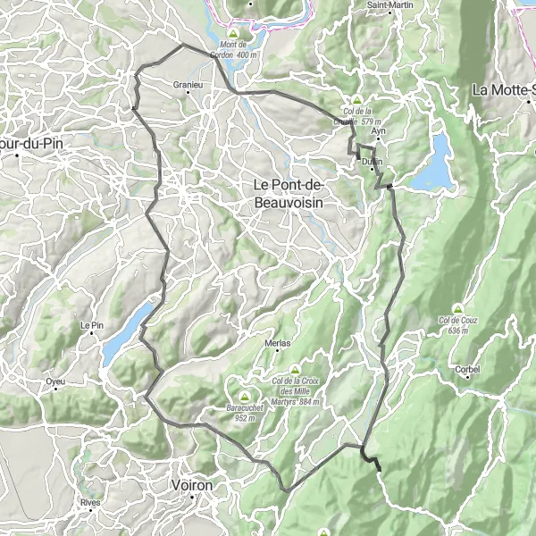
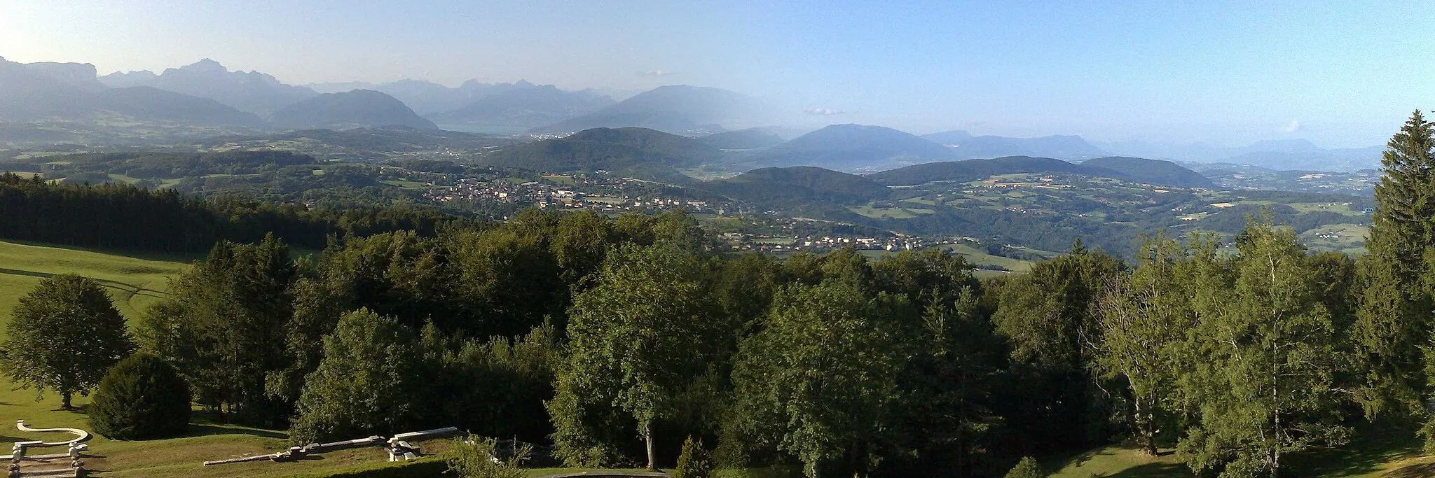
Alpine Escapade is a challenging 147 km road route that takes cyclists through the breathtaking landscapes of the French Alps. With a total ascent of 2588 m, this route is recommended for experienced cyclists seeking an epic adventure. From Mont de Cordon to the charming village of Chimilin, this route offers stunning mountain vistas and exhilarating descents.
Bugey Adventure
Conquer the challenging roads and discover picturesque landscapes
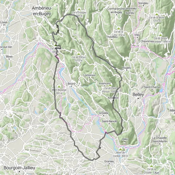
Embark on a cycling adventure through the Bugey region with this 116 km road route starting near Corbelin. With a total ascent of 1402 m, Bugey Adventure is suitable for well-trained amateur cyclists seeking a challenging yet rewarding experience. Ride through Dolomieu, Arandon, Sault-Brénaz, and other charming towns while appreciating the scenic beauty of the Alps and countryside.
Morestel and Col des Fosses
Breathtaking views on the Col des Fosses
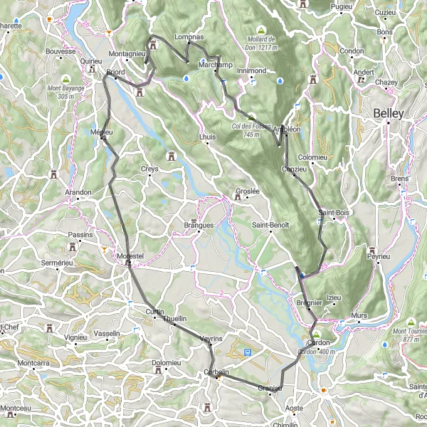
This road cycling route is a challenging ride with a total ascent of 1033 meters and a distance of 78 kilometers. Starting near Corbelin, the route takes you through beautiful countryside, passing by the highlights of Morestel, Seillonnaz, and Conzieu. The highlight of the route is the Col des Fosses, which offers stunning views of the surrounding mountains. Overall, this route is recommended for experienced cyclists who are looking for a scenic and challenging ride.
Discover the charming villages of Romagnieu and La Bâtie-Montgascon
This road cycling route has a total ascent of 935 meters and spans 64 kilometers. Starting near Corbelin, the route takes you through picturesque landscapes, passing by the highlights of Romagnieu and Saint-Geoire-en-Valdaine. The highlight of the route is La Bâtie-Montgascon, a charming village with its historic architecture and scenic views. Overall, this route is recommended for cyclists looking to explore quaint French villages and enjoy moderately challenging terrain.
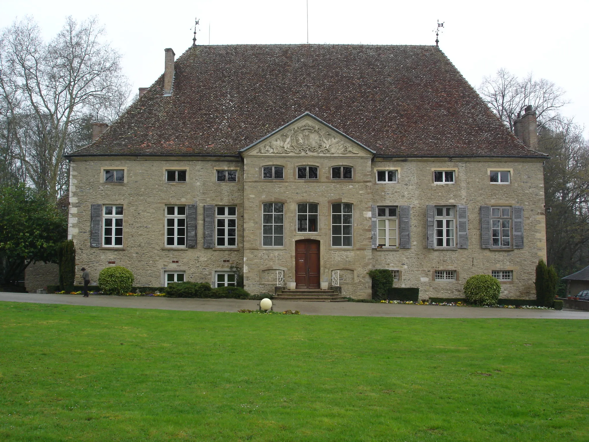
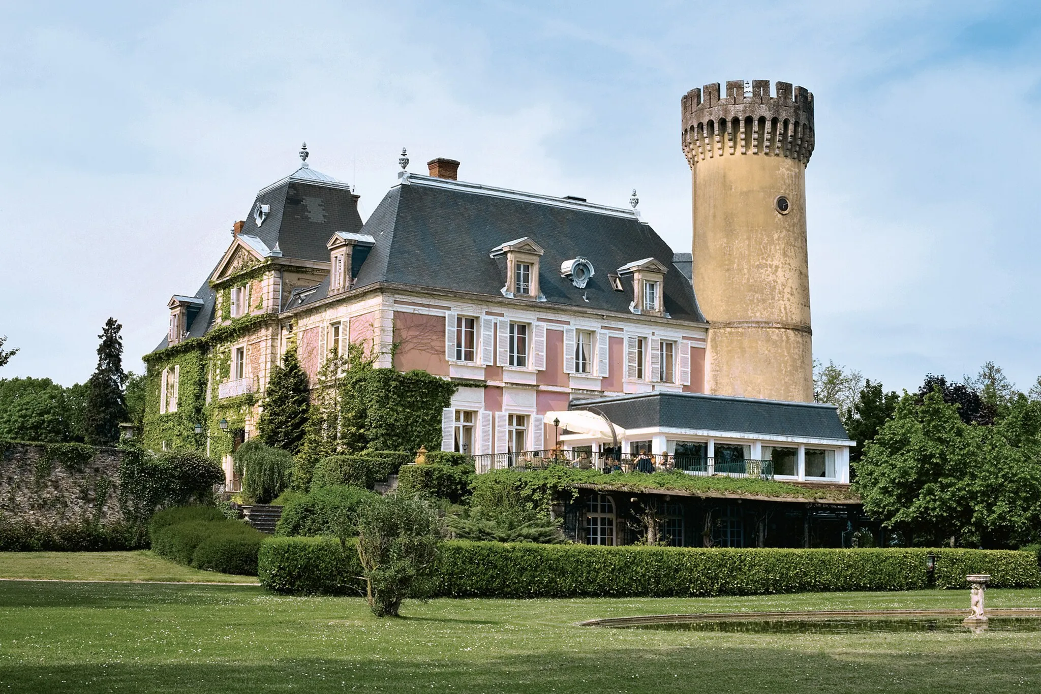
Visit the impressive Château de Mérieu
This gravel cycling route has a total ascent of 659 meters and spans 71 kilometers. Starting near Corbelin, the route takes you through beautiful countryside, passing by the highlights of Dolomieu, Montalieu-Vercieu, and Les Avenières. The highlight of the route is Château de Mérieu, a magnificent castle with a rich history. Overall, this route is recommended for gravel enthusiasts who enjoy scenic rides and cultural attractions.
Gravel Adventure

Explore the off-road paths near Corbelin on this thrilling gravel route
Gravel Adventure is a 70 km gravel route that offers a different kind of cycling experience. With a total ascent of 502 m, this route provides a moderate challenge for well-trained amateurs. Enjoy the rough terrain and stunning natural landscapes as you ride through Dolomieu, Briord, Lhuis, and Les Avenières. This route is perfect for gravel enthusiasts looking to explore the countryside.
Cycling routes nearby:

Nearby regions: