Gravel Adventure
A gravel cycling route starting from Corbelin
Explore the off-road paths near Corbelin on this thrilling gravel route
Map

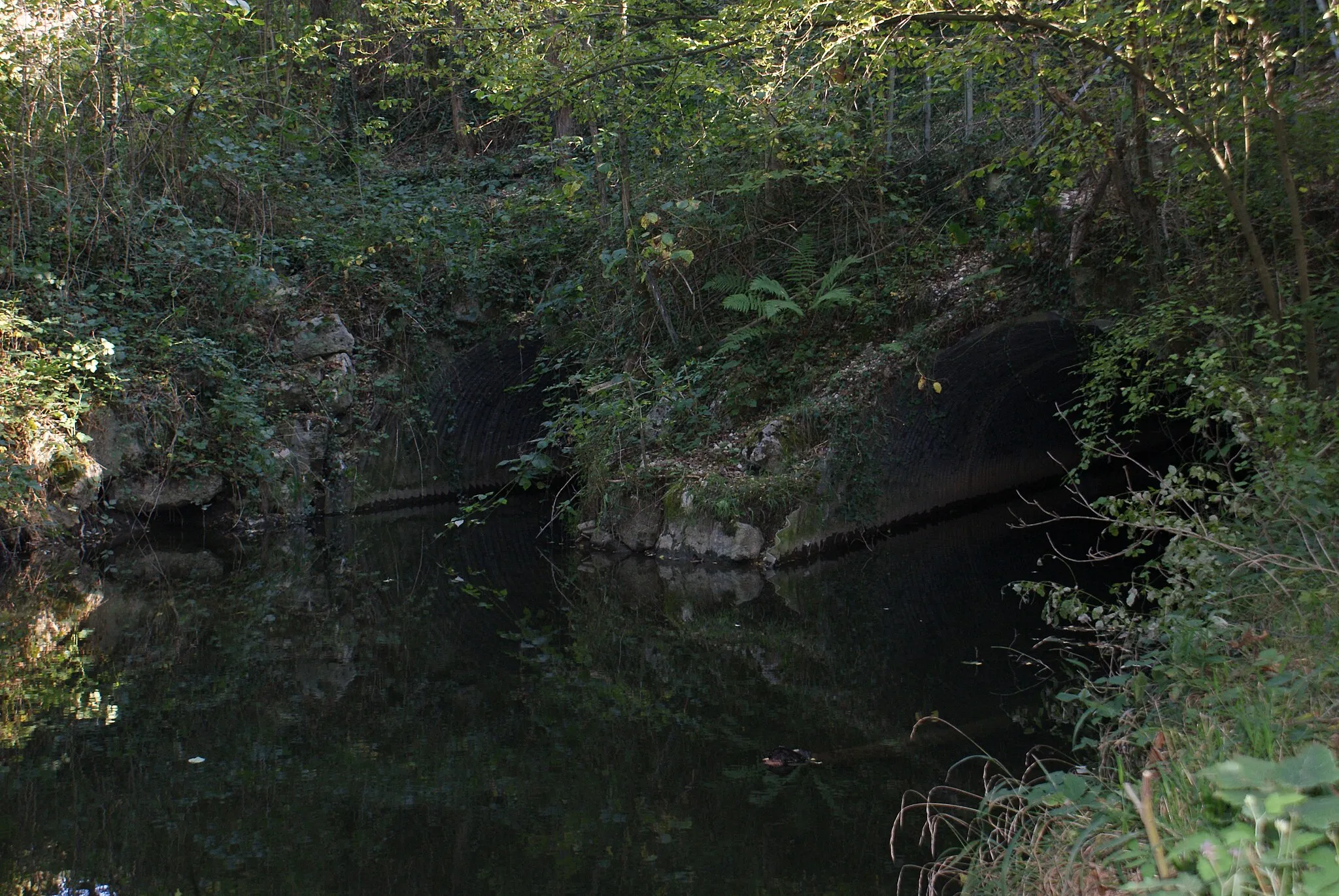
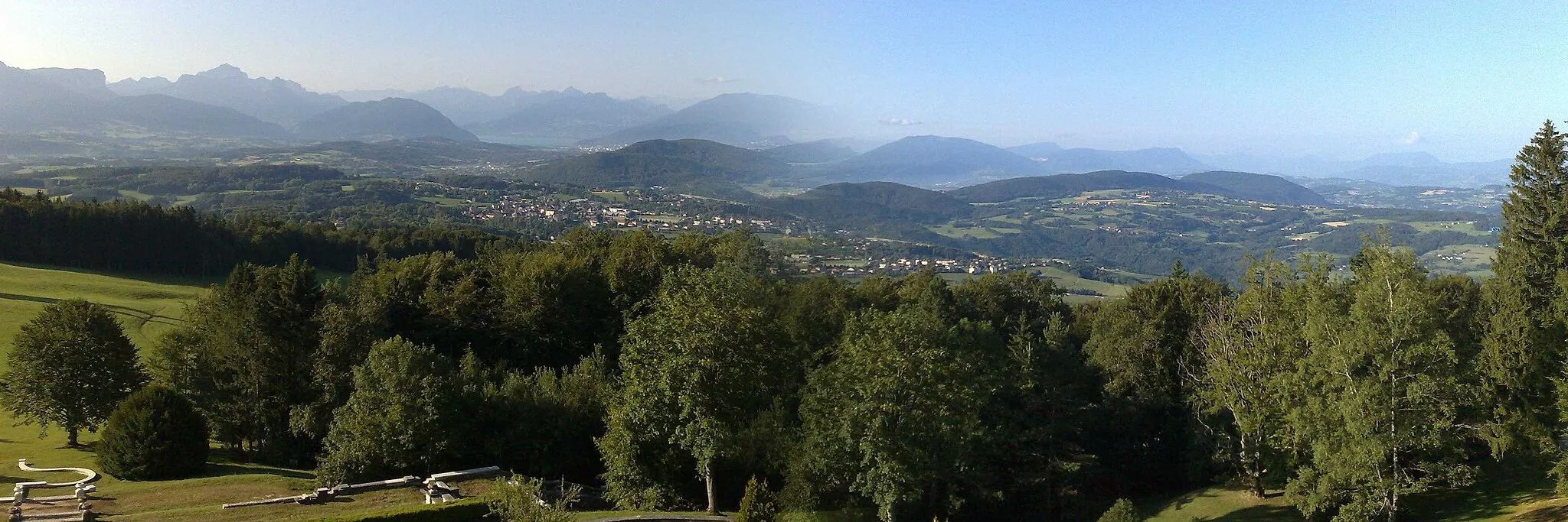
Gravel Adventure is a 70 km gravel route that offers a different kind of cycling experience. With a total ascent of 502 m, this route provides a moderate challenge for well-trained amateurs. Enjoy the rough terrain and stunning natural landscapes as you ride through Dolomieu, Briord, Lhuis, and Les Avenières. This route is perfect for gravel enthusiasts looking to explore the countryside.
gravel
70 km
502 m
Tough
Route profile
Highlights on the route
0 km
0 km
Start: Corbelin Village centerCorbelin: Explore the serene countryside on leisurely rides.
Corbelin is a small village located in the Rhône-Alpes region of France. For cyclists, this area provides moderate cycling possibilities with its undulating terrain and rural surroundings. While not particularly renowned for cycling, the locality offers some scenic routes along quiet roads. Cyclists can enjoy exploring the peaceful countryside and nearby villages. Corbelin does not have any famous cycling-related spots or well-known climbs in its proximity but presents a serene atmosphere for cycling enthusiasts.3 km
3 km
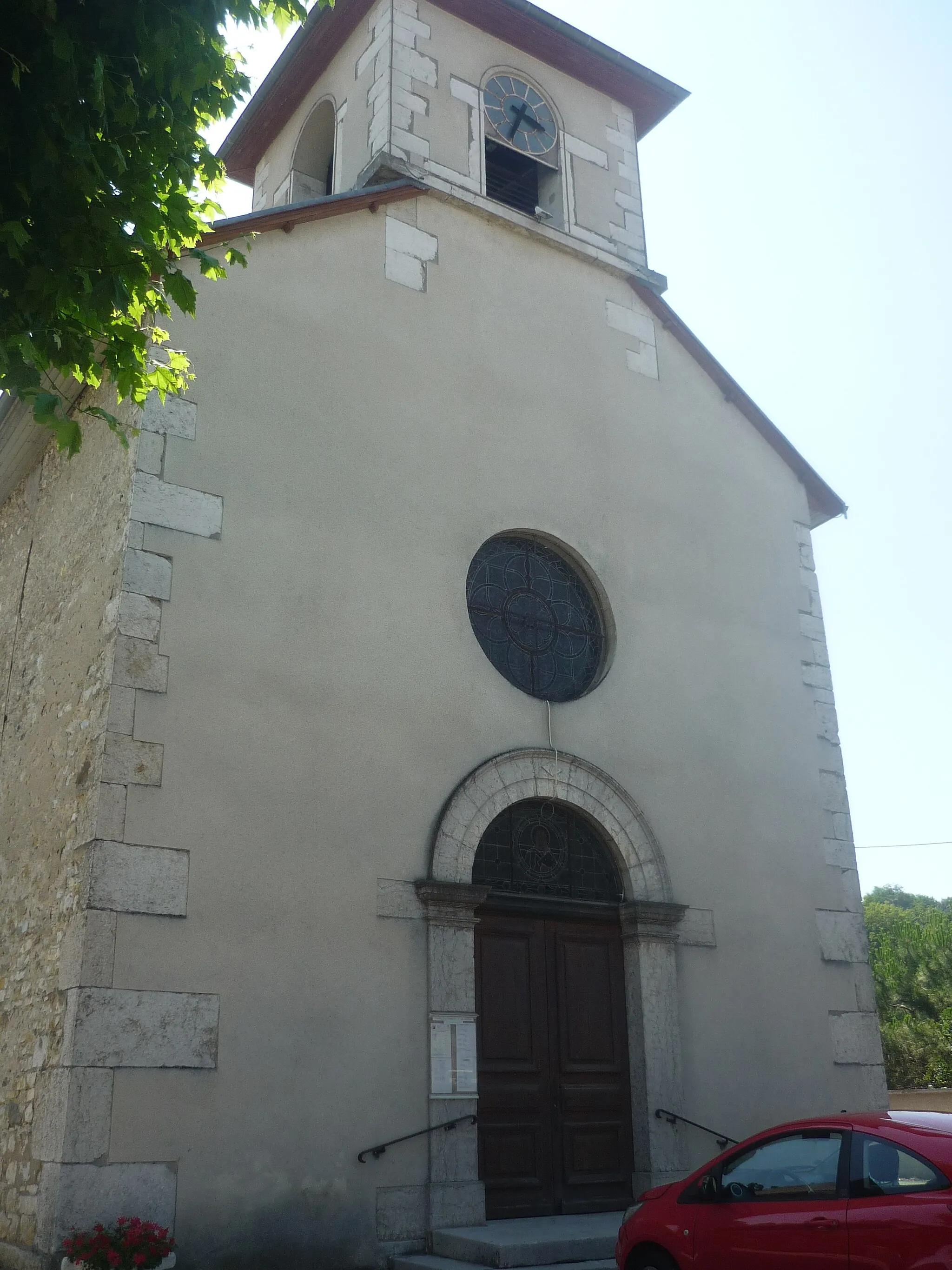
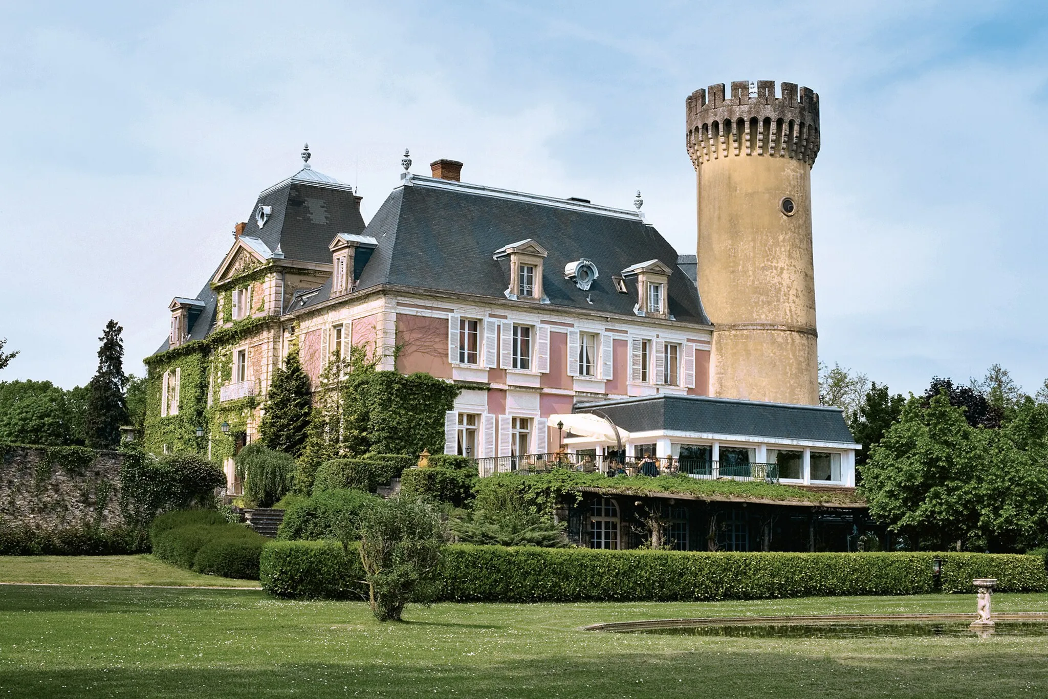
DolomieuVillageDolomieu is a quaint village known for its sandstone buildings and ancient ruins.
27 km
27 km
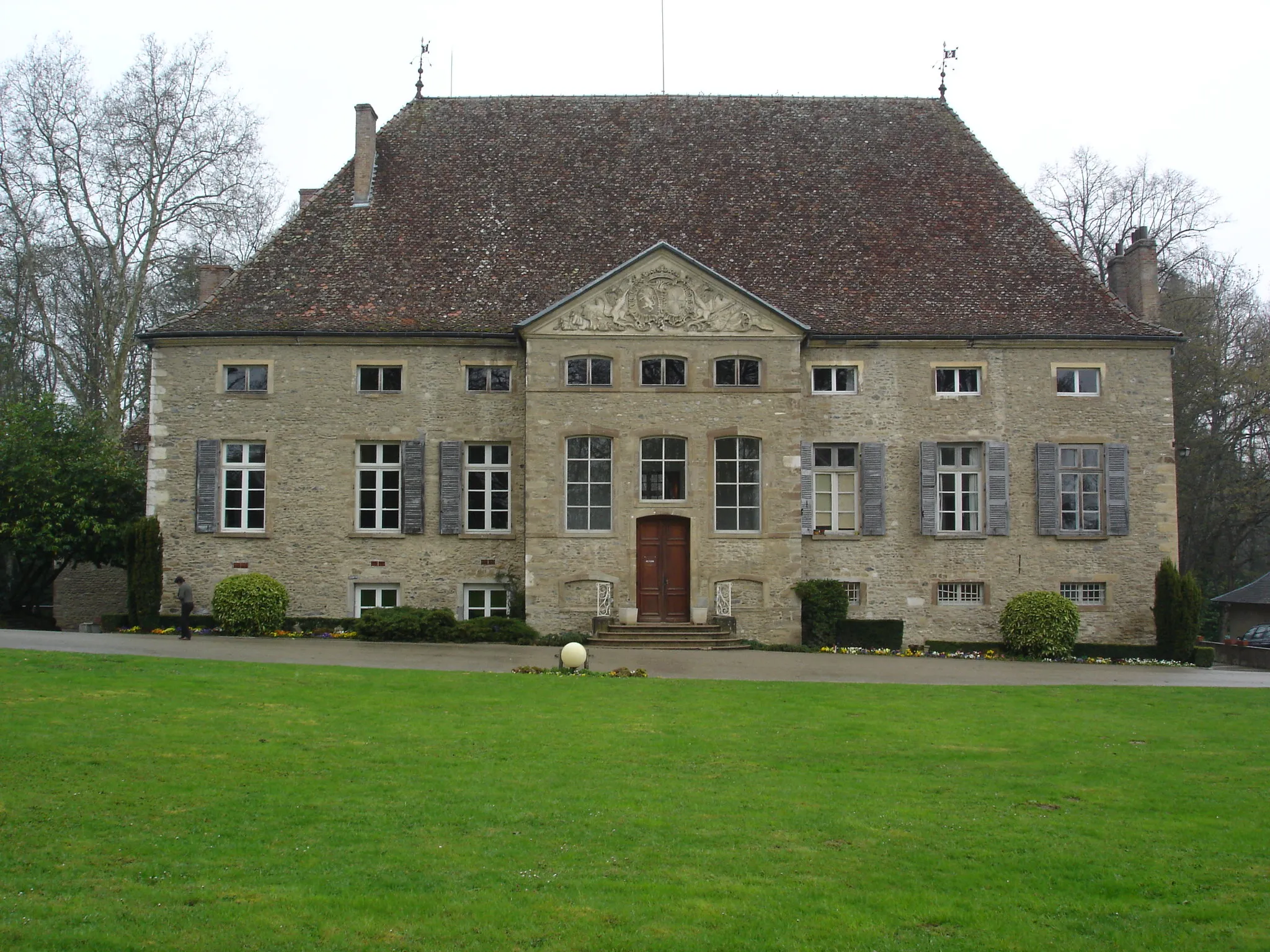
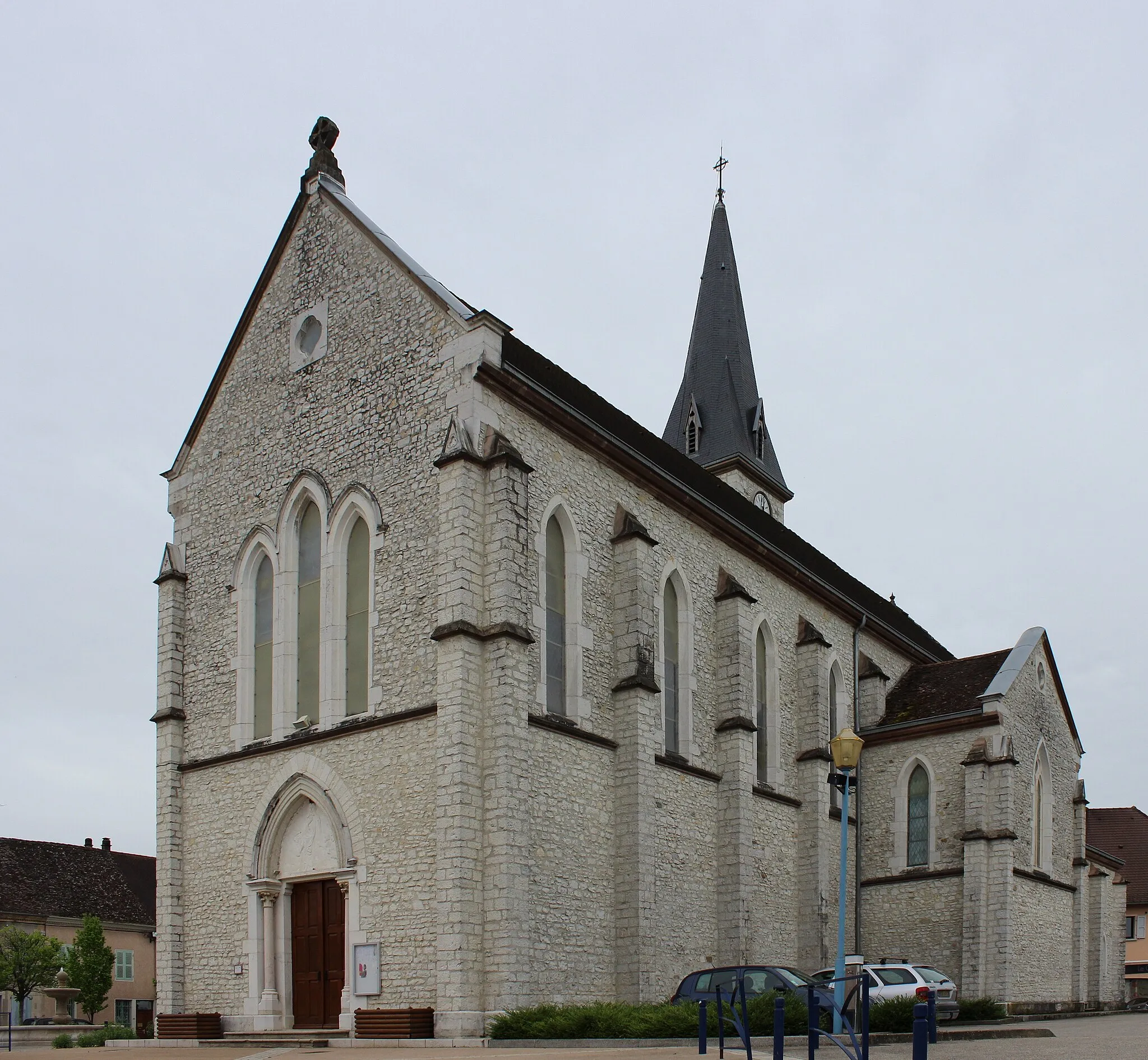
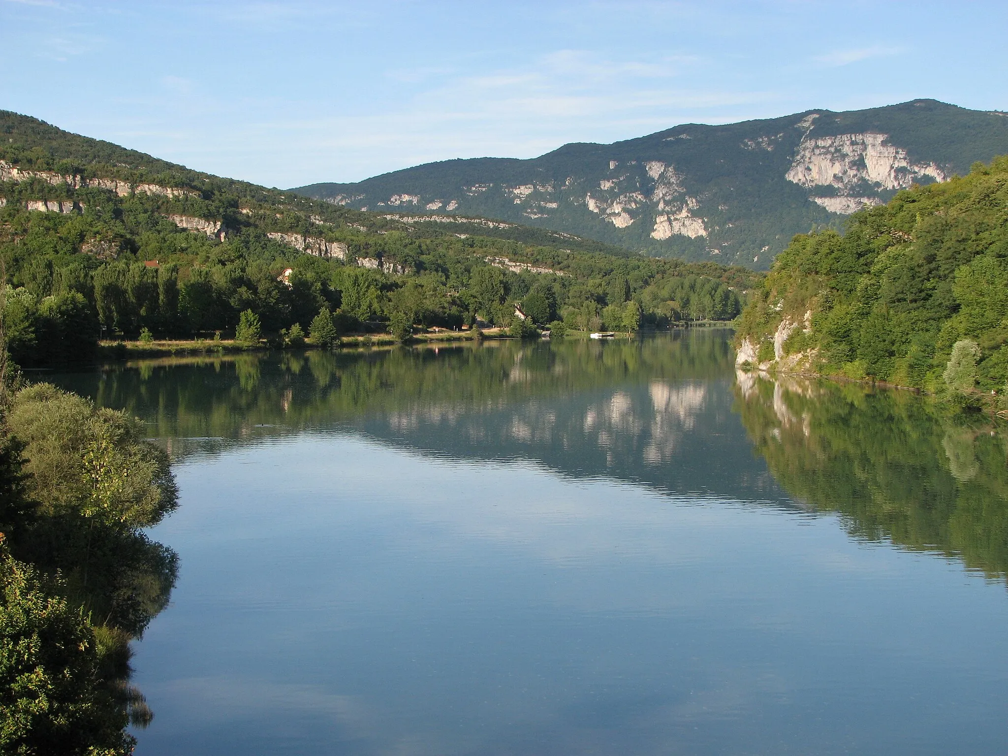
BriordVillageBriord is home to a beautiful medieval castle and offers panoramic views of the surrounding countryside.
50 km
50 km
LhuisVillageLhuis is a small mountain village with traditional wooden chalets and stunning mountain views.
66 km
66 km
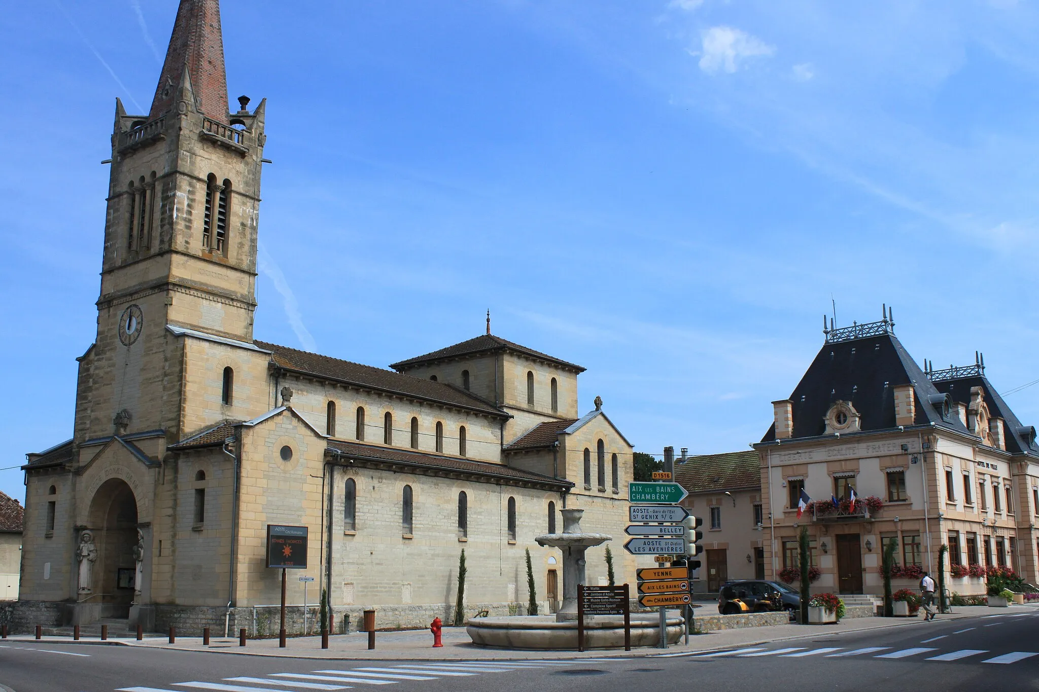
Les AvenièresVillageLes Avenières is known for its picturesque lake, ideal for a refreshing break during the gravel adventure.
70 km
70 km
Finish: Corbelin Village centerCorbelin: Explore the serene countryside on leisurely rides.
Cycling routes nearby: