Mountain Challenge
A road cycling route starting from Corbelin
Embark on an epic mountain cycling journey in Rhône-Alpes
Map
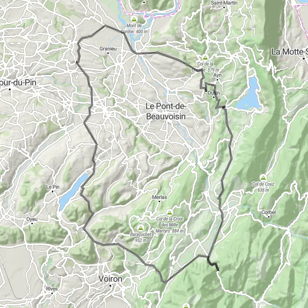
Mountain Challenge is a 99 km road route that takes cyclists on a challenging mountainous adventure near Corbelin. With a total ascent of 1687 m, this route is suitable for experienced cyclists seeking a thrilling challenge. From the picturesque village of Saint-Genix-les-Villages to the renowned Croix de Côte Curt, this route offers breathtaking views and rewarding accomplishments.
road
99 km
1687 m
Tough
Route profile
Highlights on the route
0 km
0 km
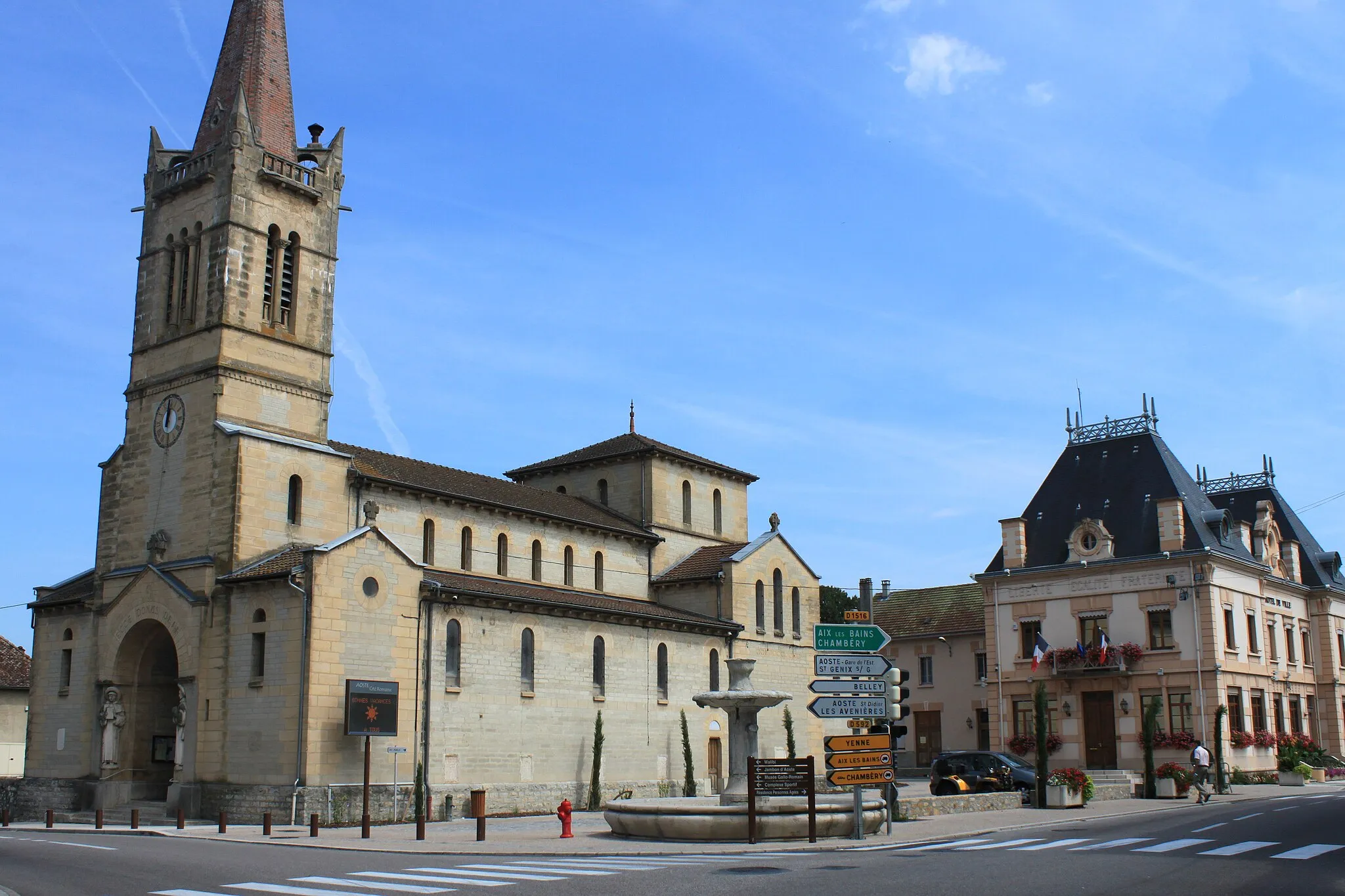
Start: Corbelin Village centerCorbelin: Explore the serene countryside on leisurely rides.
Corbelin is a small village located in the Rhône-Alpes region of France. For cyclists, this area provides moderate cycling possibilities with its undulating terrain and rural surroundings. While not particularly renowned for cycling, the locality offers some scenic routes along quiet roads. Cyclists can enjoy exploring the peaceful countryside and nearby villages. Corbelin does not have any famous cycling-related spots or well-known climbs in its proximity but presents a serene atmosphere for cycling enthusiasts.12 km
12 km
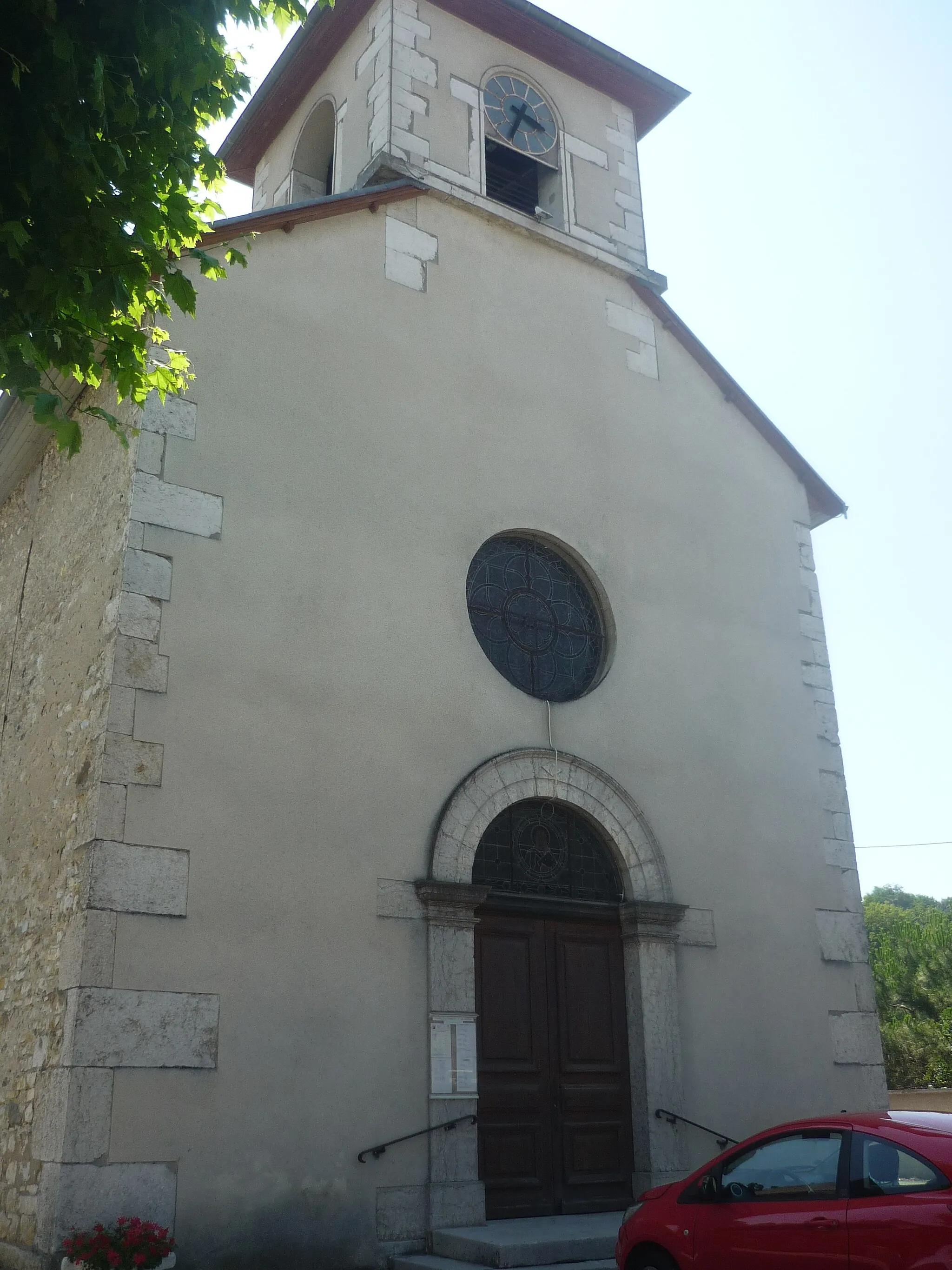
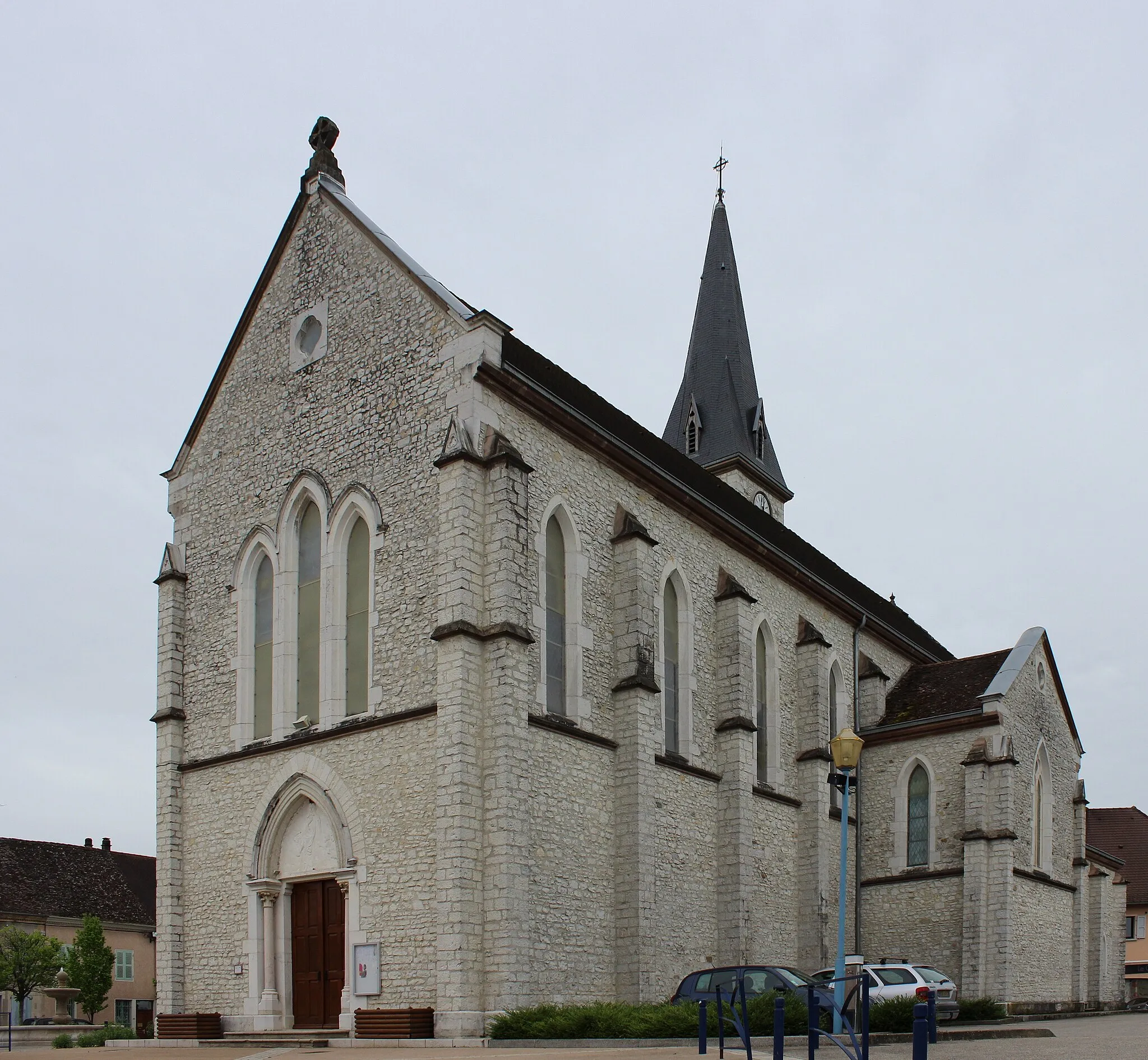
Saint-Genix-les-VillagesVillageThe historic village of Saint-Genix-les-Villages is famous for its traditional stone houses and charming atmosphere.
22 km
22 km
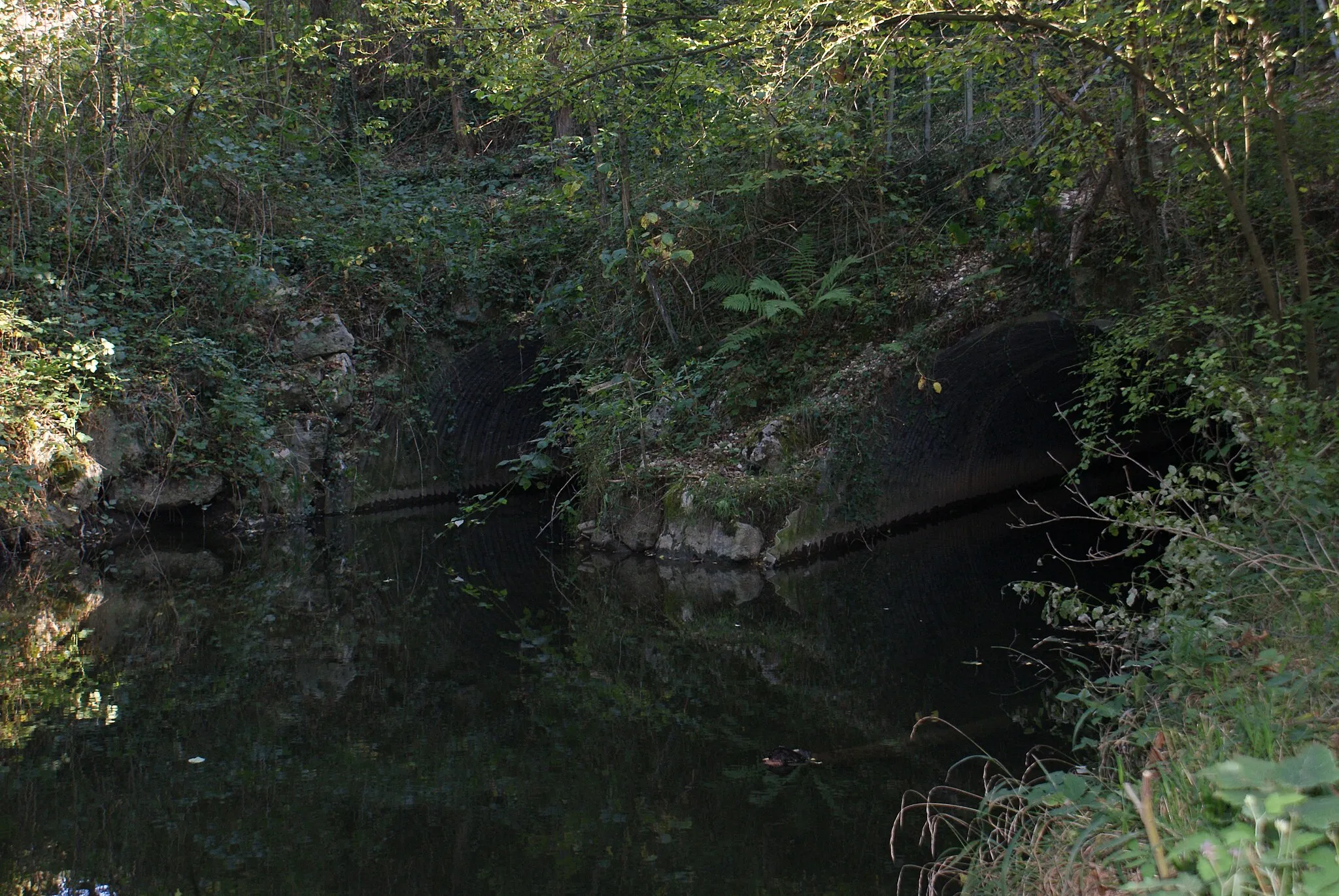
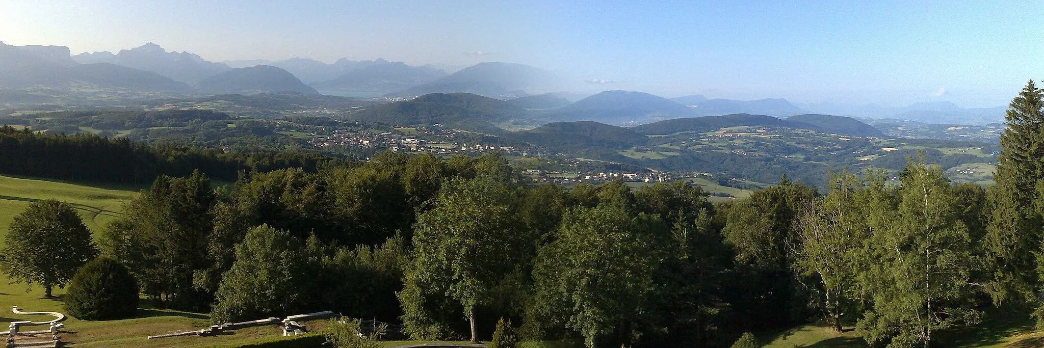
Belvédère du Grand BecViewpointBelvédère du Grand Bec is a scenic viewpoint that offers a panoramic view of the surrounding mountains.
33 km
33 km
Attignat-OncinVillageAttignat-Oncin is a charming mountain village known for its beautiful church and well-preserved architecture.
50 km
50 km
Croix de Côte CurtViewpointCroix de Côte Curt is a legendary climb in Rhône-Alpes, attracting cyclists from around the world.
57 km
57 km
Saint-Joseph-de-RivièreVillageSaint-Joseph-de-Rivière is located in the heart of the Chartreuse Regional Nature Park, offering stunning natural scenery.
72 km
72 km
ChirensVillageChirens is a picturesque village nestled amidst the beautiful landscapes of Rhône-Alpes.
87 km
87 km
Saint-OndrasVillageSaint-Ondras is a tranquil village with a lovingly maintained historic center and narrow cobblestone streets.
96 km
96 km
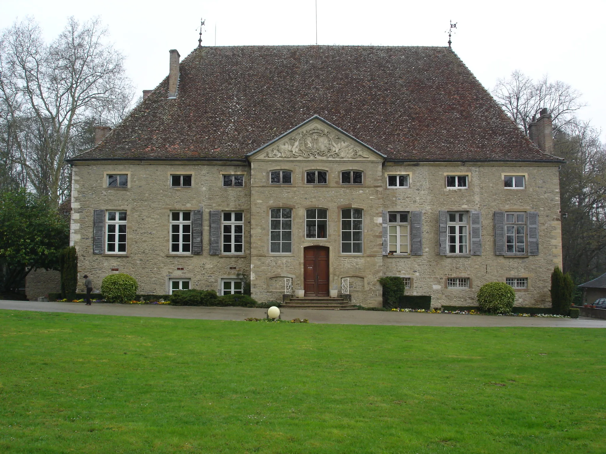
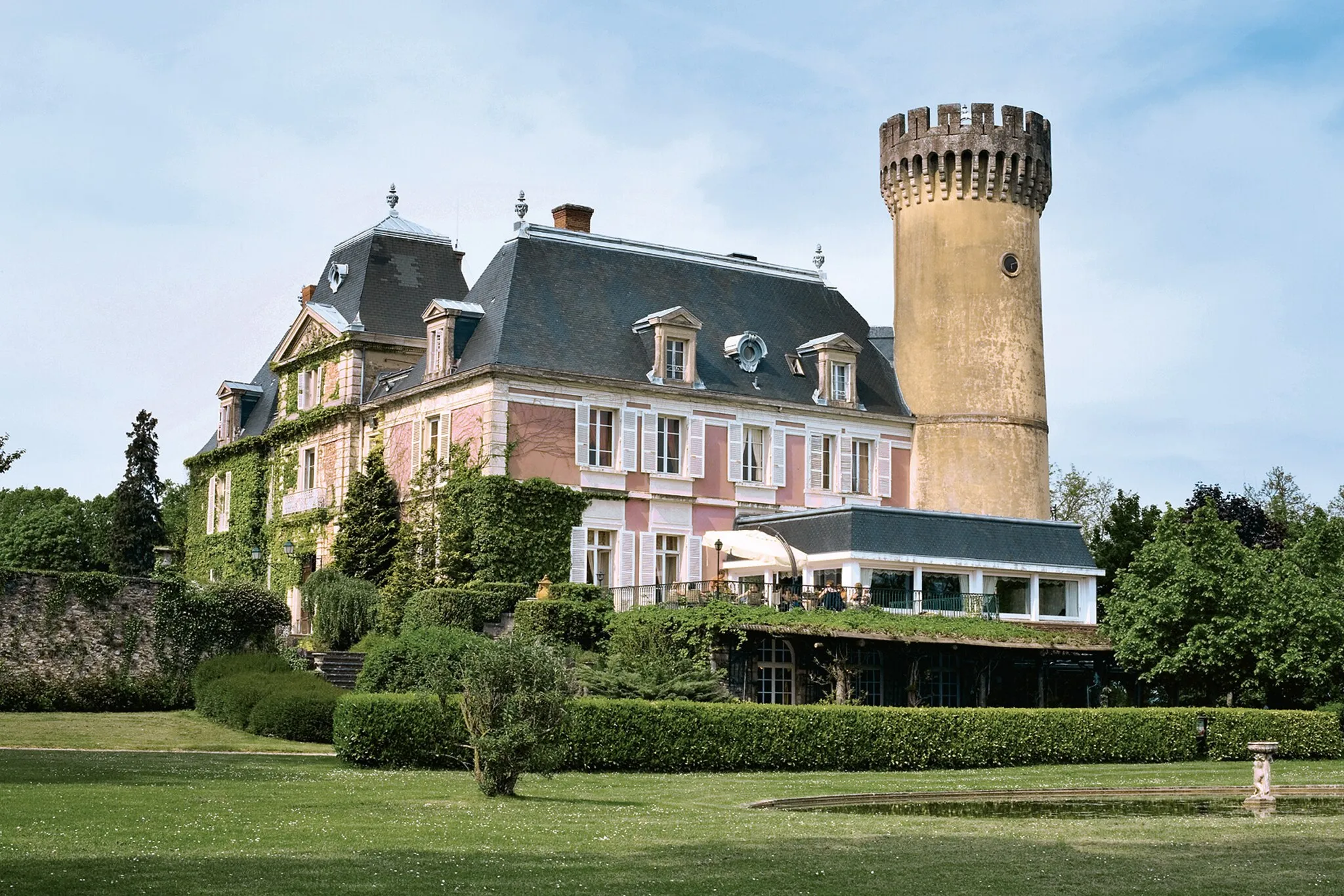
ChâteauCastleExplore the magnificent Château de Chélieu and its beautiful gardens during your cycling journey.
99 km
99 km
Finish: Corbelin Village centerCorbelin: Explore the serene countryside on leisurely rides.
Cycling routes nearby: