Alpine Escapade
A road cycling route starting from Corbelin
Embark on a scenic cycling journey through the French Alps
Map

Alpine Escapade is a challenging 147 km road route that takes cyclists through the breathtaking landscapes of the French Alps. With a total ascent of 2588 m, this route is recommended for experienced cyclists seeking an epic adventure. From Mont de Cordon to the charming village of Chimilin, this route offers stunning mountain vistas and exhilarating descents.
road
147 km
2588 m
Savage
Route profile
Highlights on the route
0 km
0 km
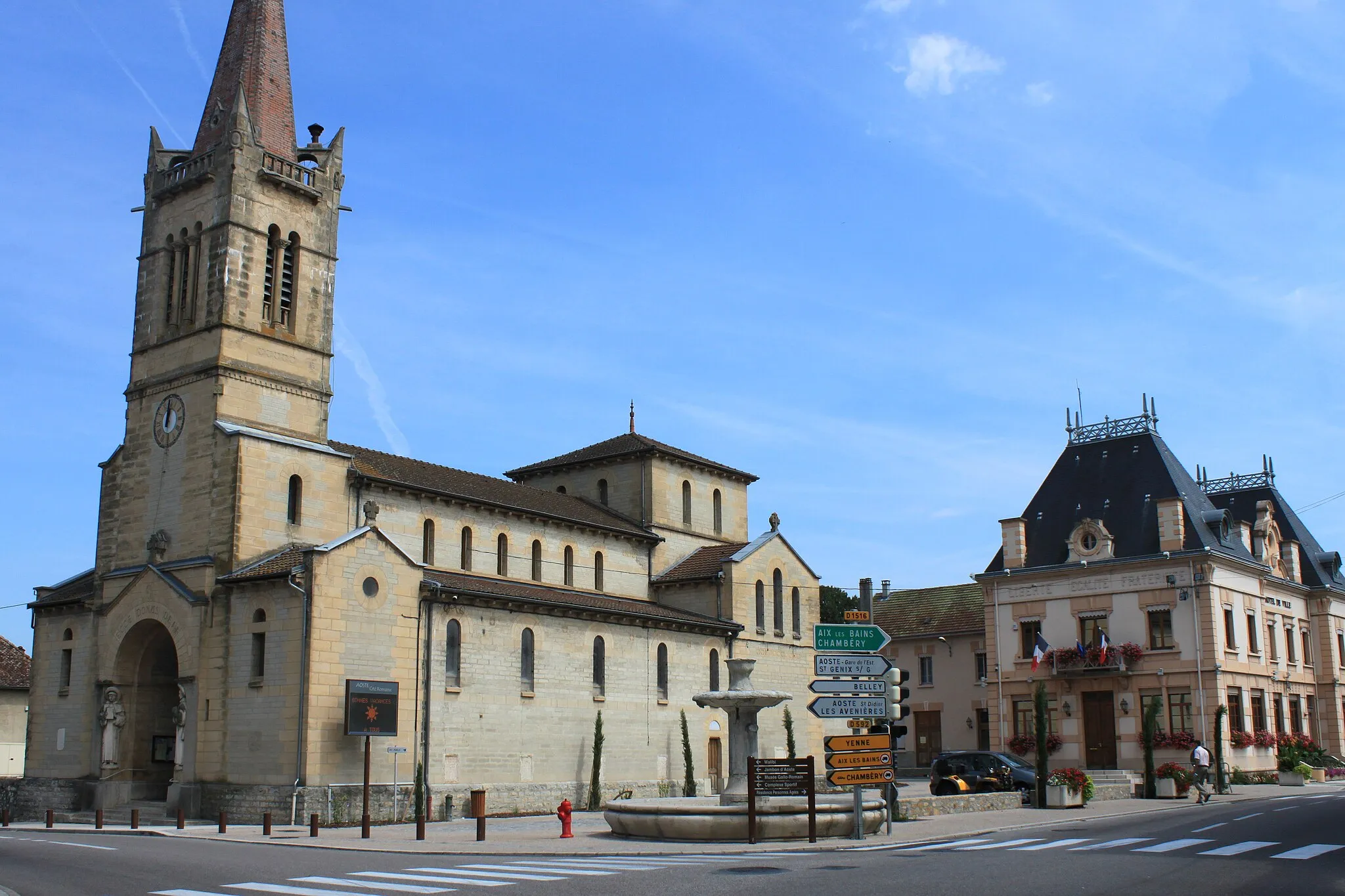
Start: Corbelin Village centerCorbelin: Explore the serene countryside on leisurely rides.
Corbelin is a small village located in the Rhône-Alpes region of France. For cyclists, this area provides moderate cycling possibilities with its undulating terrain and rural surroundings. While not particularly renowned for cycling, the locality offers some scenic routes along quiet roads. Cyclists can enjoy exploring the peaceful countryside and nearby villages. Corbelin does not have any famous cycling-related spots or well-known climbs in its proximity but presents a serene atmosphere for cycling enthusiasts.8 km
8 km
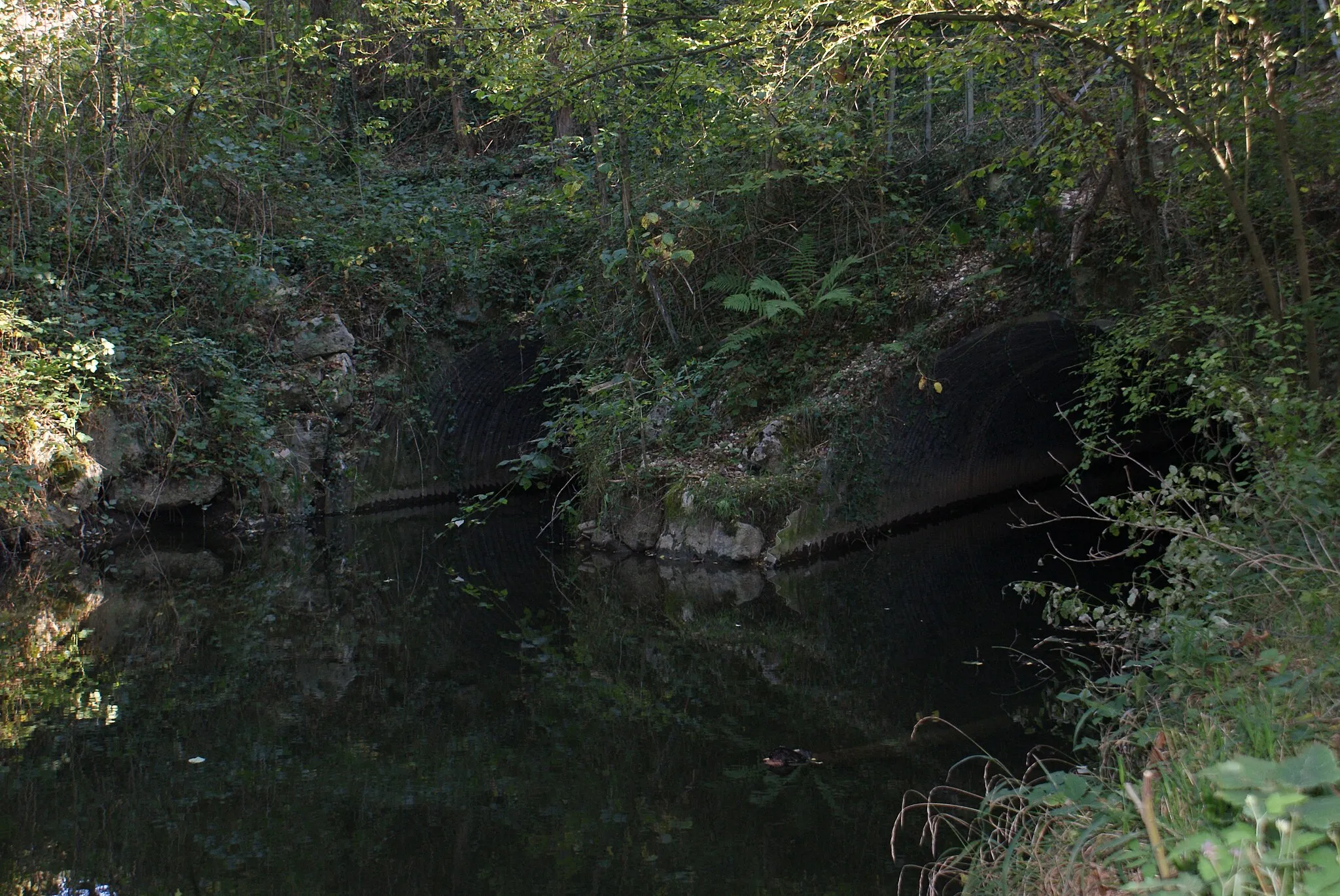
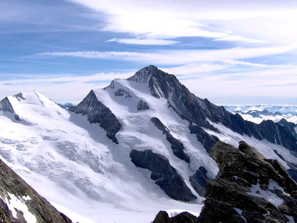
Mont de Cordon400 mPeakMont de Cordon offers panoramic views of snow-capped peaks and lush green valleys.
16 km
16 km
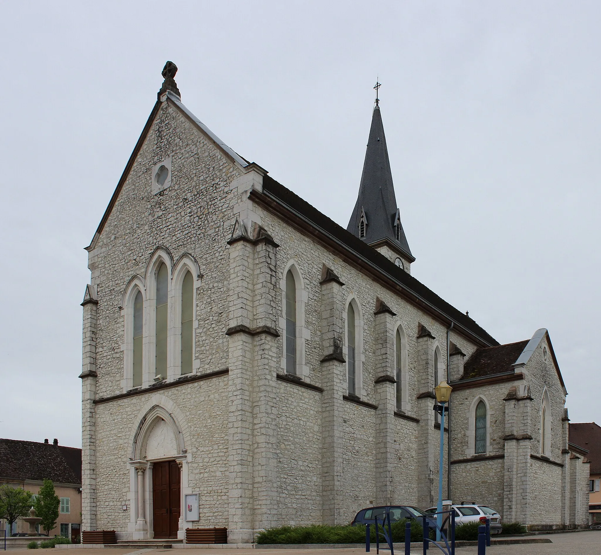
PeyrieuVillagePeyrieu is a quaint mountain village known for its traditional stone houses and serene atmosphere.
27 km
27 km
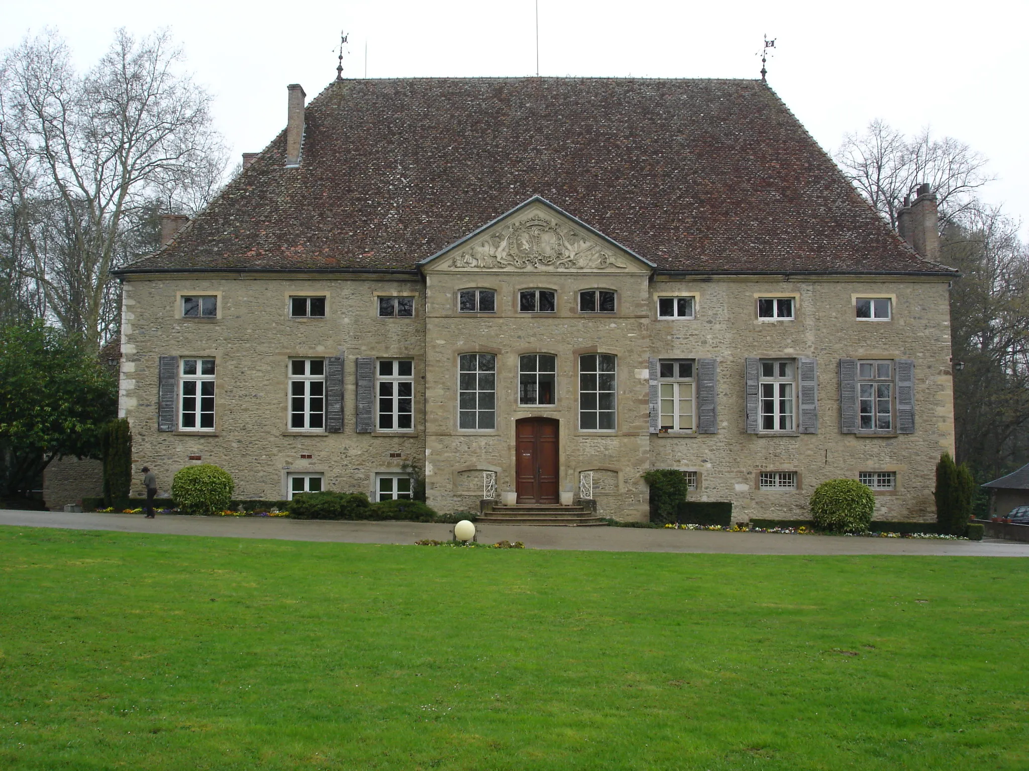
YenneVillageYenne is a historic town often referred to as the gateway to the Alps, boasting beautiful architecture and charming streets.
36 km
36 km
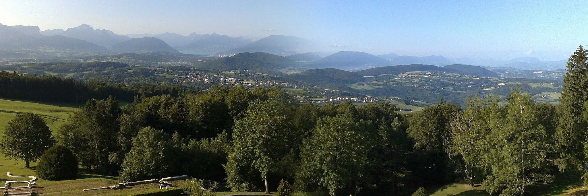
PanoramaViewpointPanorama is a cycling specific observation deck providing a 360-degree view of the surrounding alpine landscapes.
45 km
45 km
Viviers-du-LacVillageViviers-du-Lac is a village located near Lake Bourget, offering breathtaking views of the azure water.
45 km
45 km
ObservationViewpointEnjoy an observation of Chambéry's charming old town from one of the many viewpoints along the route.
53 km
53 km
Col de Saint-Saturnin409 mMountain PassCol de Saint-Saturnin is a challenging mountain pass with rewarding panoramic views at the summit.
61 km
61 km
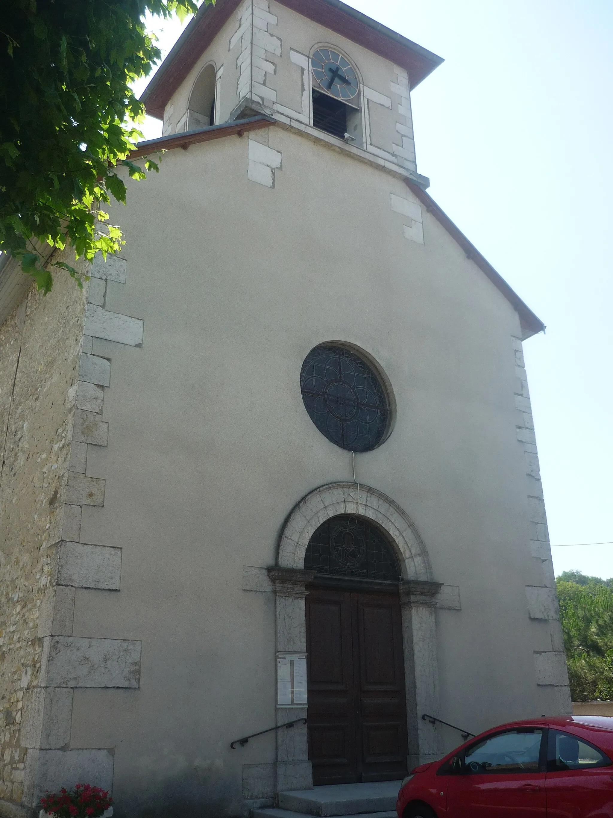
Saint-Jean-d'ArveyVillageSaint-Jean-d'Arvey is a picturesque alpine village nestled amidst tall pine trees and majestic mountains.
71 km
71 km
Col des PrèsViewpointCol des Près offers a thrilling descent and showcases stunning views of the surrounding alpine landscapes.
85 km
85 km
Saint-Jeoire-PrieuréVillageSaint-Jeoire-Prieuré is a quaint rural village surrounded by lush green meadows and captivating mountain peaks.
96 km
96 km
CogninVillageCognin offers breathtaking panoramic views of Lake Aiguebelette and the Alps.
109 km
109 km
Col de Couz636 mMountain PassCol de Couz features narrow switchback turns and offers stunning views of the surrounding alpine scenery.
127 km
127 km
Saint-Albin-de-VaulserreVillageSaint-Albin-de-Vaulserre is a small village known for its picturesque old town and charming rural atmosphere.
141 km
141 km
ChimilinVillageChimilin is situated on the banks of the Rhône River and offers superb views of the river and the surrounding area.
147 km
147 km
Finish: Corbelin Village centerCorbelin: Explore the serene countryside on leisurely rides.
Cycling routes nearby: