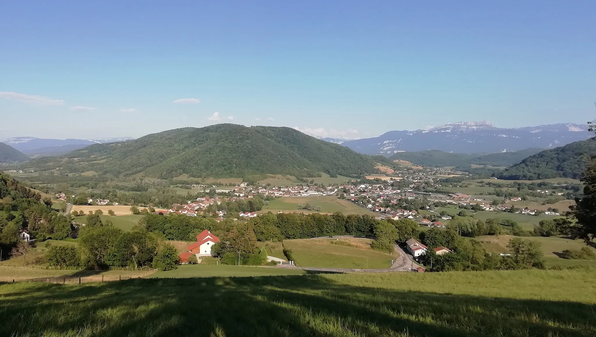
Cycling adventure on the shores of Lake Paladru
Cycling routes from Charavines
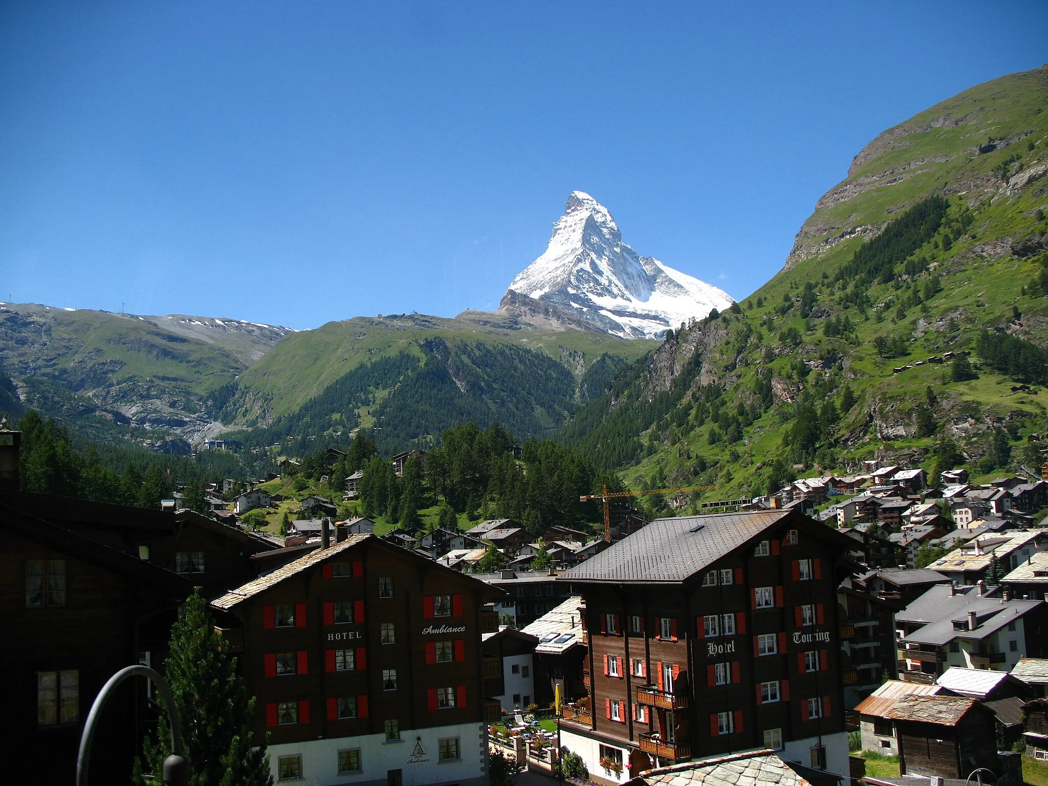
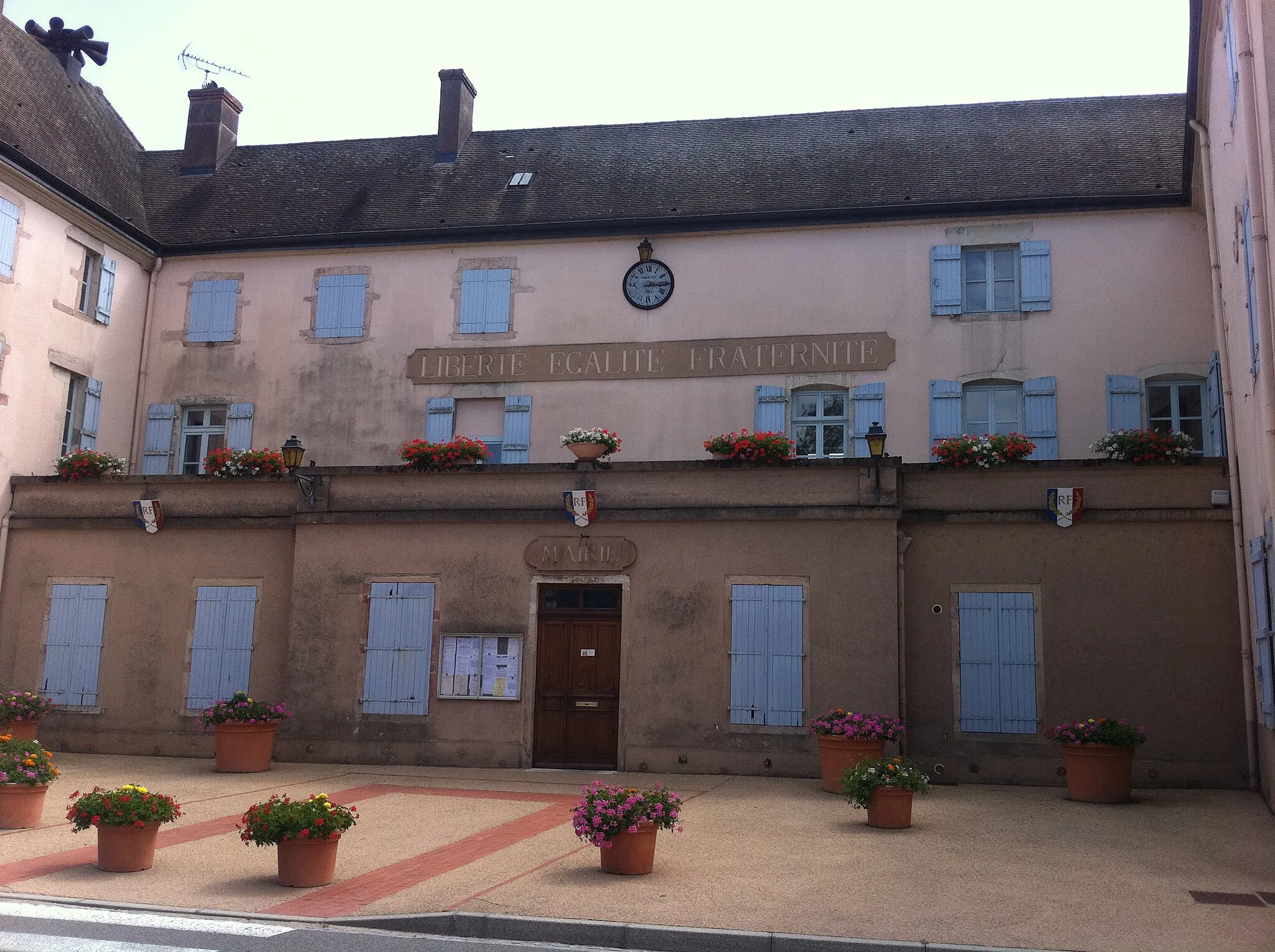
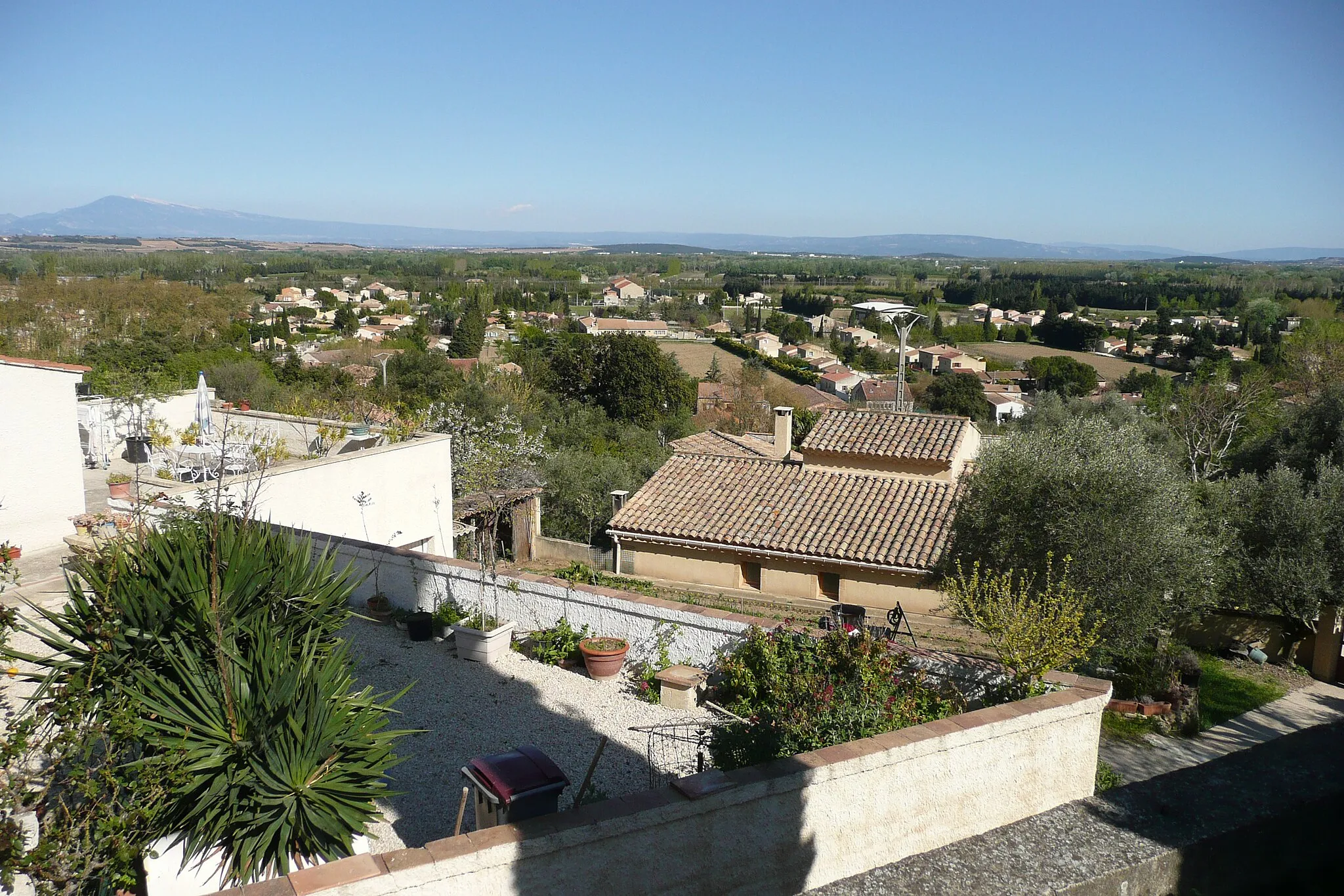
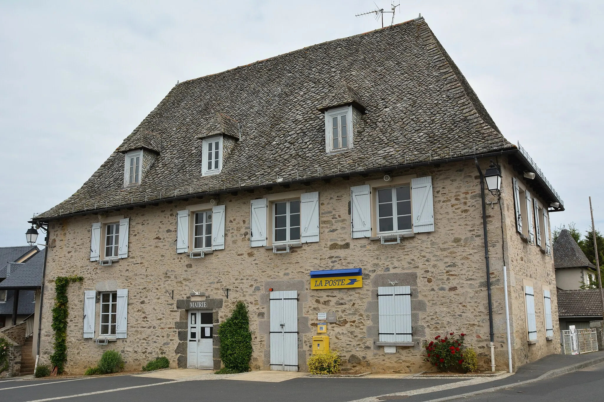
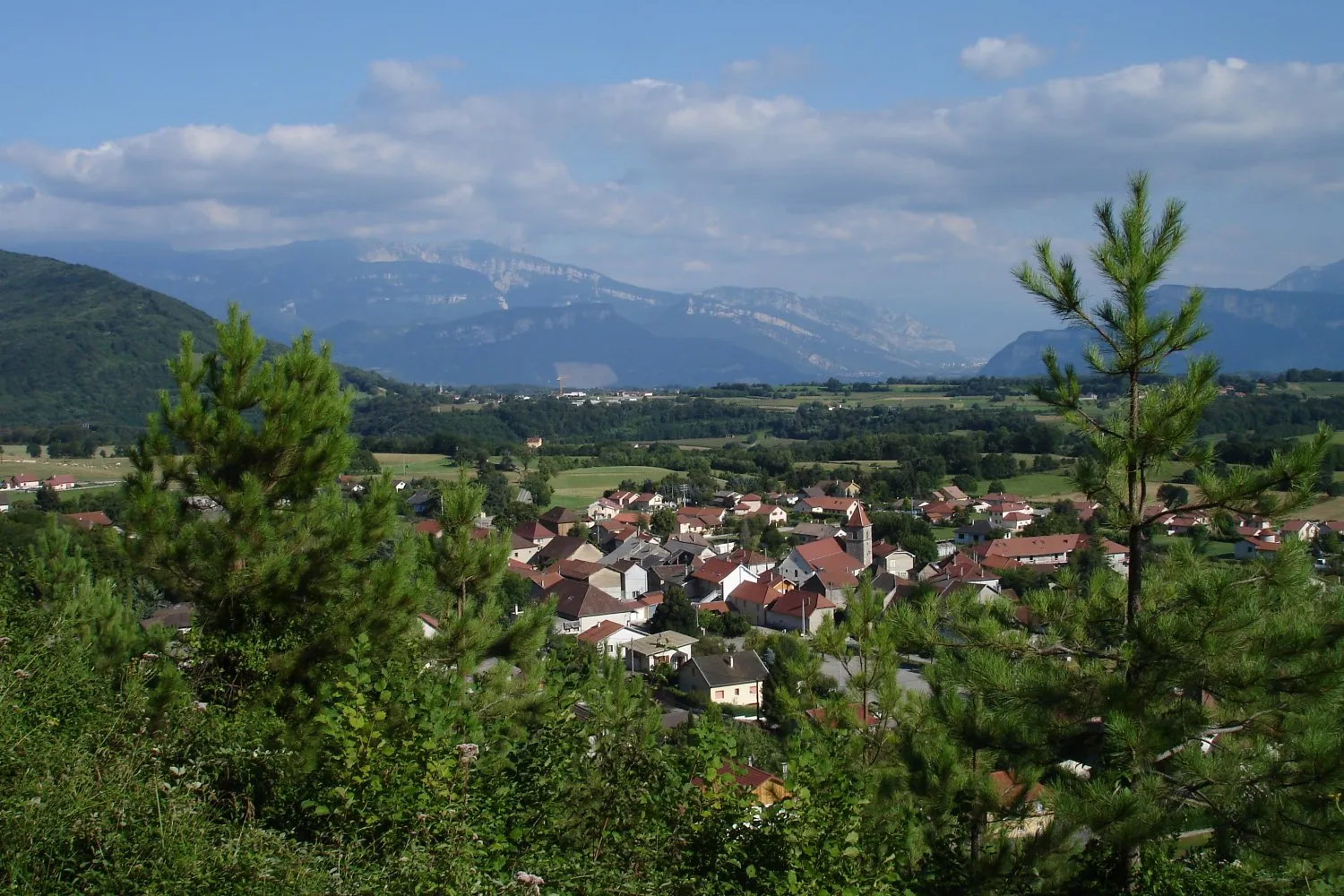
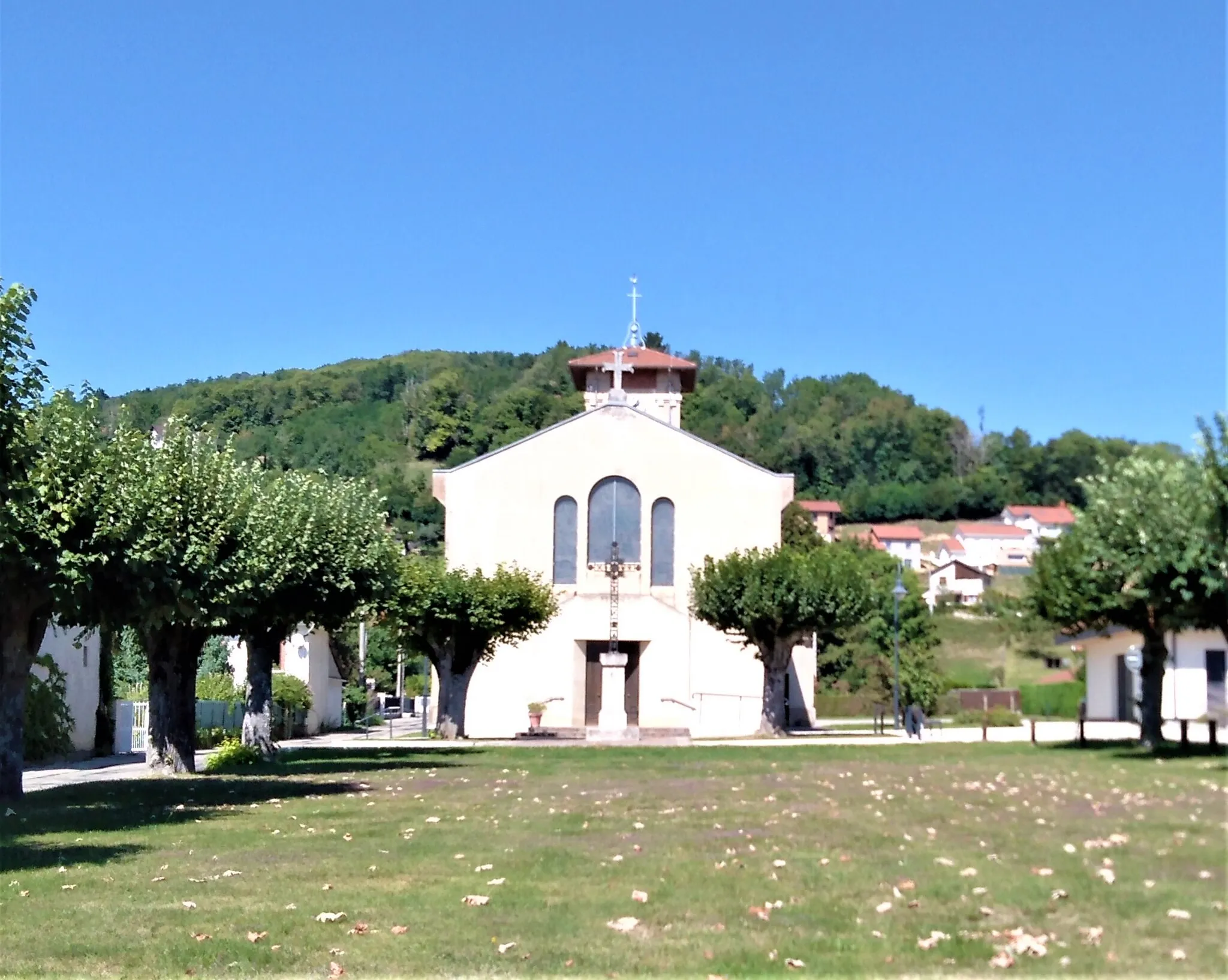
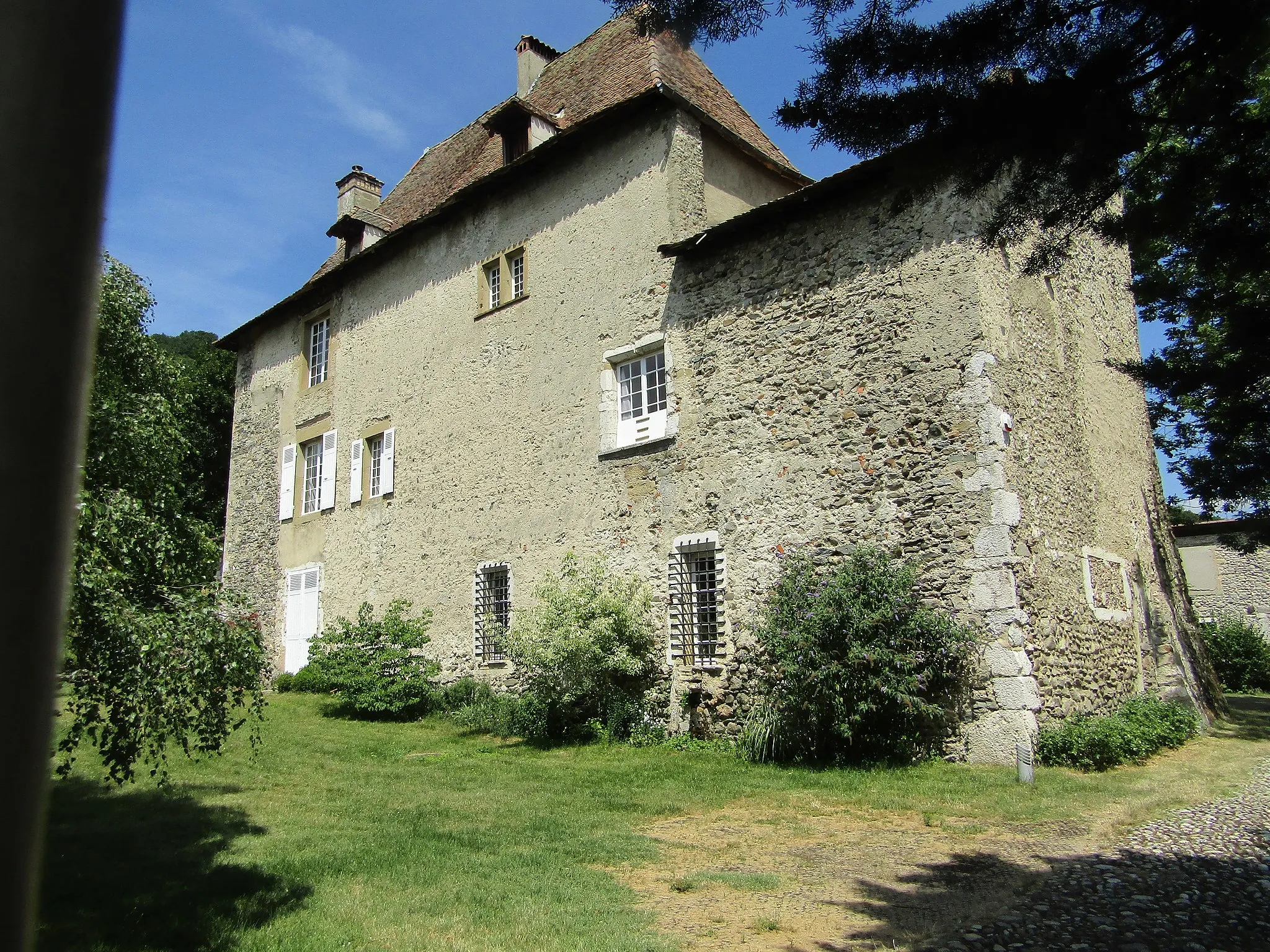
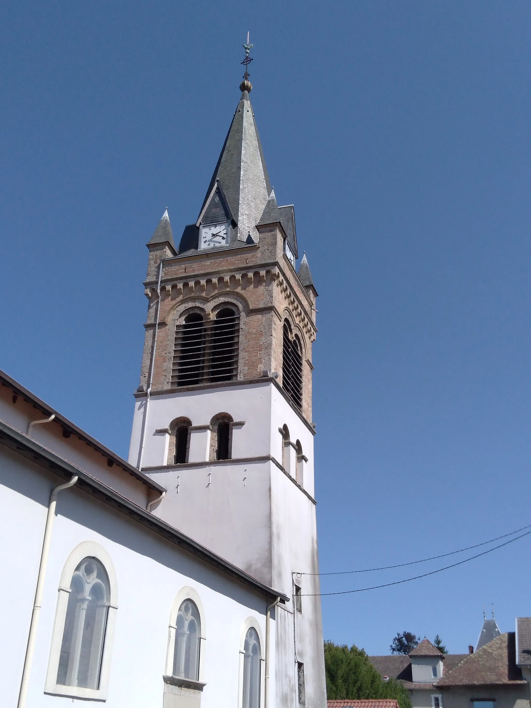
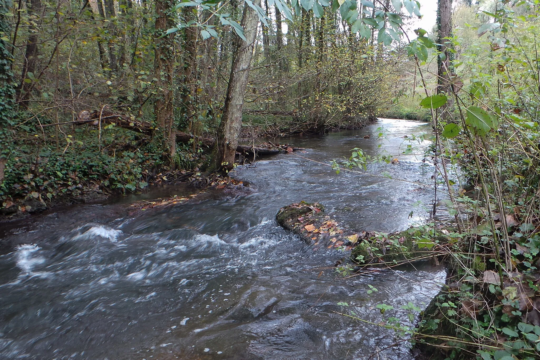
Charavines, located in the Rhône-Alpes region of France, offers a wonderful cycling experience for road and gravel enthusiasts. The area provides a pleasant mix of flat routes and moderate hills, allowing cyclists to enjoy diverse terrains. Charavines is home to the beautiful Lake Paladru, providing cyclists with a chance to combine their rides with refreshing water views. Additionally, the locality's strategic location near the famous Col du Mont Noir makes it an attractive destination for riders looking to conquer challenging climbs. With its scenic routes and access to renowned climbs, Charavines is a cyclist's paradise.
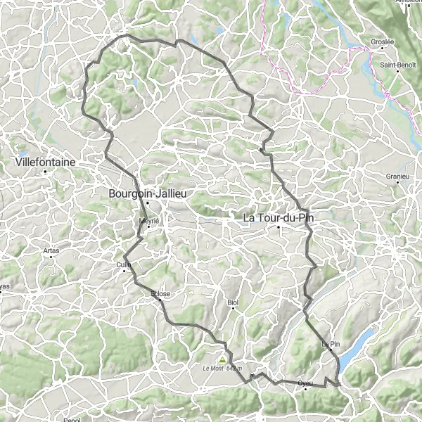
Embark on a captivating road cycling loop from Charavines via Bourgoin-Jallieu
Explore the scenic landscapes and picturesque towns on this 113-kilometer road cycling loop from Charavines to Bourgoin-Jallieu. With an ascent of 1633 meters, this route is best suited for well-trained amateur cyclists looking for a medium challenge. Highlights along the way include Le Mont, Culin, Bourgoin-Jallieu, Chozeau, Sermérieu, and Saint-Clair-de-la-Tour.
Charavines Gravel Adventure

Embark on an exciting gravel adventure from Charavines and explore the scenic countryside of Rhône-Alpes.
This gravel route offers a shorter distance of 35 kilometers but packs a punch with a climb of 595 meters. The off-road terrain will test your skills and give you a taste of adventure. The difficulty level is rated 3 out of 5, suitable for experienced gravel riders. The epicness score is 3 out of 5, reflecting the scenic landscapes and the charm of the rural countryside.

Embark on an extended gravel adventure from Charavines and explore the scenic countryside of Rhône-Alpes.
This gravel route offers a longer distance of 72 kilometers and includes an ascent of 1041 meters. Experience the thrill of off-road riding as you traverse the diverse terrain. The difficulty level is rated 4 out of 5, suitable for experienced gravel riders. The epicness score is 4 out of 5, reflecting the scenic landscapes and the sense of adventure.

Enjoy the picturesque road cycling route from Charavines to Le Pin
Embark on a scenic road cycling adventure from Charavines to Le Pin. This 91-kilometer route offers beautiful views and challenging terrains, making it suitable for well-trained amateur cyclists. With an ascent of 1449 meters, be prepared for some uphill sections. The route passes through highlights such as Mont Levatel, Bévenais, Mont Avalon, Lieudieu, Culin, Blandin, and Le Pin.

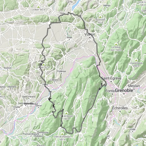
Conquer the challenging road cycling route from Charavines to Mont Levatel
Challenge yourself with this 88-kilometer road cycling route from Charavines to Mont Levatel. With an ascent of 1053 meters, this route offers a mix of uphill climbs and scenic descents. Highlights along the way include Tour Barral, Bec de l'Échaillon, Saint-Quentin-sur-Isère, Coteau d'Artets, Rovon, Le Gey, Quincieu, Le Truc, Le Grand-Lemps, Oyeu, and Mont Levatel.
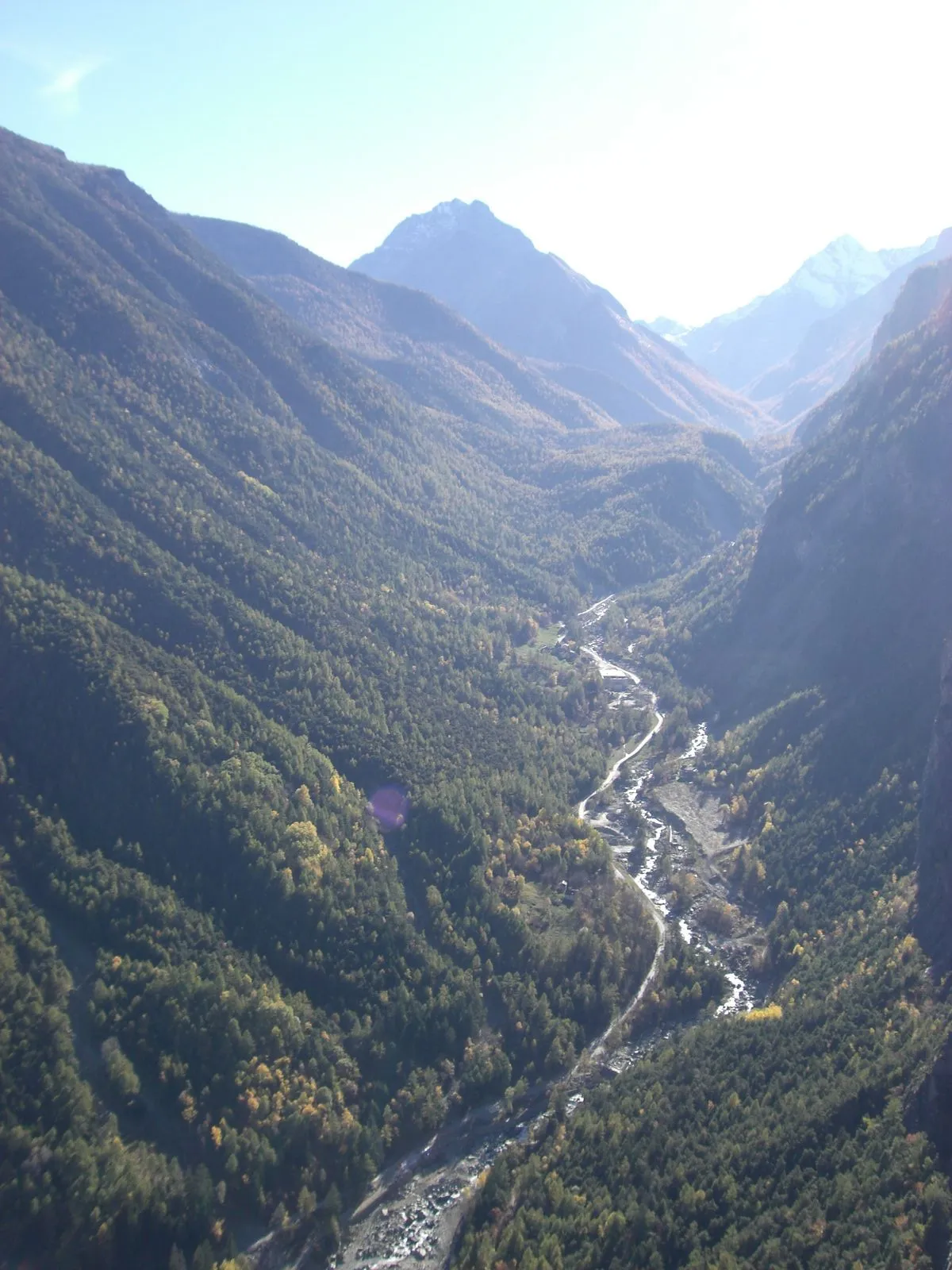
Discover the rugged landscapes and charming towns of Rhône-Alpes on this challenging road cycling route starting from Charavines.
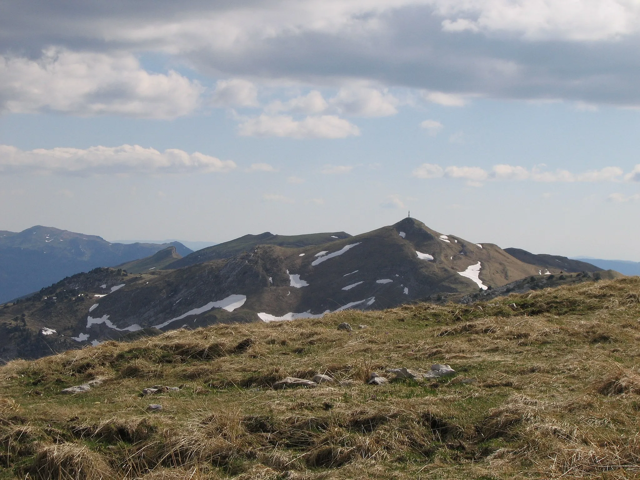
This route takes you through picturesque villages, lush green valleys, and awe-inspiring mountains. The ascent of 3453 meters over 143 kilometers will test your endurance and reward you with breathtaking views at every turn. The difficulty level of this route is rated 4 out of 5, suitable for well-trained amateurs. The epicness score is 4 out of 5, reflecting the stunning landscapes and the famous cycling spots along the way.

Escape the ordinary with a gravel route from Charavines to Burcin
Experience the thrill of gravel cycling as you embark on a 46-kilometer adventure from Charavines to Burcin. With an ascent of 325 meters, this route is suitable for cyclists seeking a shorter yet exciting ride. Highlights along the way include Mont Follet, Apprieu, Saint-Étienne-de-Saint-Geoirs, and Charavines' picturesque Place du Marché.
Gravel Cycling Adventure to Oyeu

Embrace the challenge of gravel cycling from Charavines to Oyeu
Gear up for an adventurous gravel cycling experience from Charavines to Oyeu. Spanning across 92 kilometers with an ascent of 1559 meters, this route will put your skills to the test. Highlights along the way include Beaucroissant, La Forteresse, Col de la Croix de Toutes Aures, Roybon, and Bressieux.
Charavines Loop
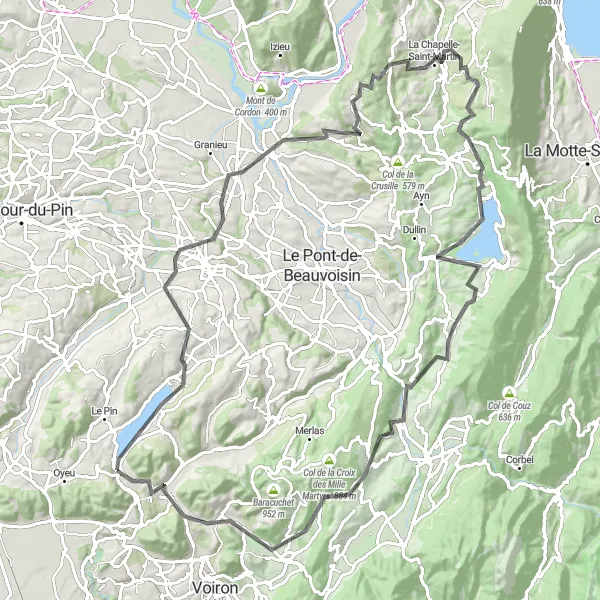
Explore the picturesque landscapes of Rhône-Alpes on this challenging road cycling route.
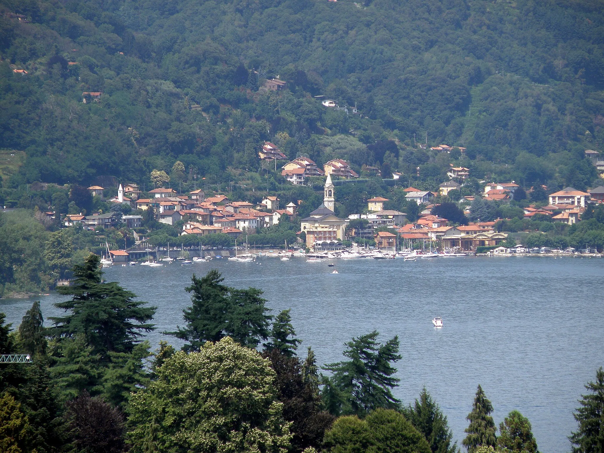
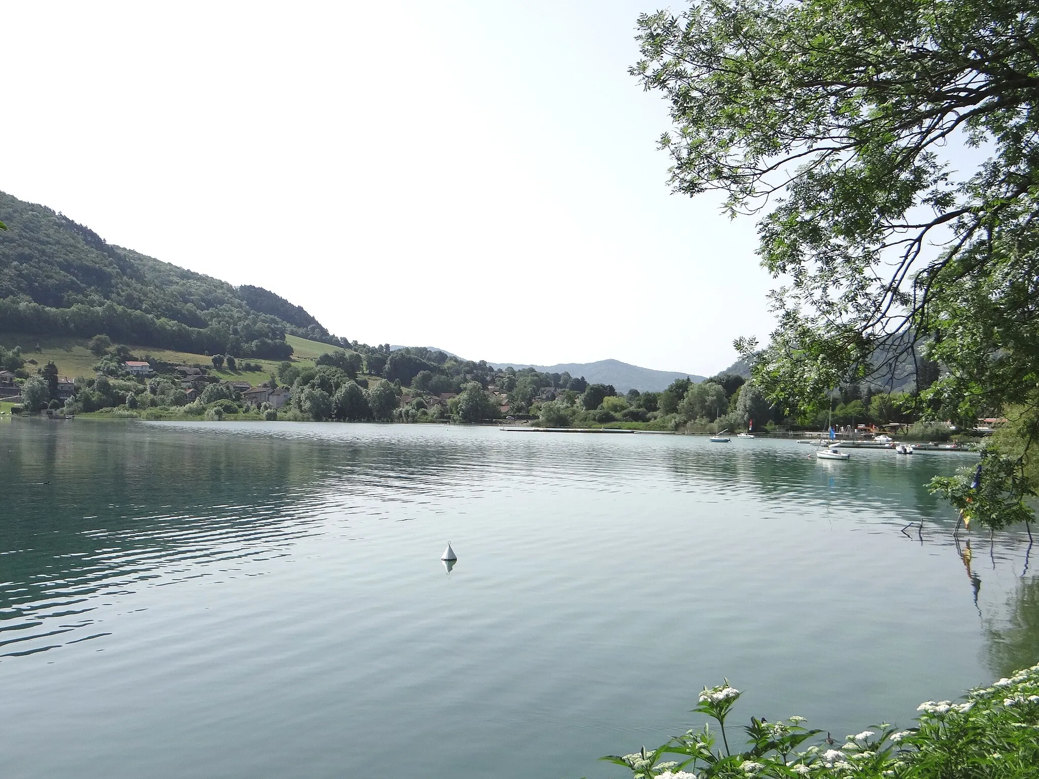
Discover the stunning beauty of Rhône-Alpes as you cycle through charming villages, rolling hills, and scenic landscapes. This 106-kilometer loop starting near Charavines offers a mix of challenging climbs and exhilarating descents, providing a rewarding experience for riders seeking an adventurous cycling journey. With a total ascent of 1933 meters, this route promises a thrilling and demanding ride for avid cyclists. The route takes you through highlights such as Chimilin, Mont Tournier, Lac d'Aiguebelette, and Lépin-le-Lac, offering opportunities to take in beautiful views and immerse yourself in the rich history and culture of the region.

Cycle through the scenic landscapes of Rhône-Alpes on this road cycling loop from Charavines to Saint-Jean-d'Avelanne.
This road cycling route covers a distance of 62 kilometers and includes an ascent of 921 meters. Enjoy the picturesque countryside and quaint villages along the way. The difficulty level is rated 3 out of 5, suitable for intermediate riders. The epicness score is 3 out of 5, reflecting the beautiful landscapes and the charm of the small towns.
Cycling routes nearby:

Nearby regions: