Explore the scenic Rhône-Alpes region, including the legendary climb of Mont Ventoux, from Chasse-sur-Rhône.
Cycling routes from Chasse-sur-Rhone
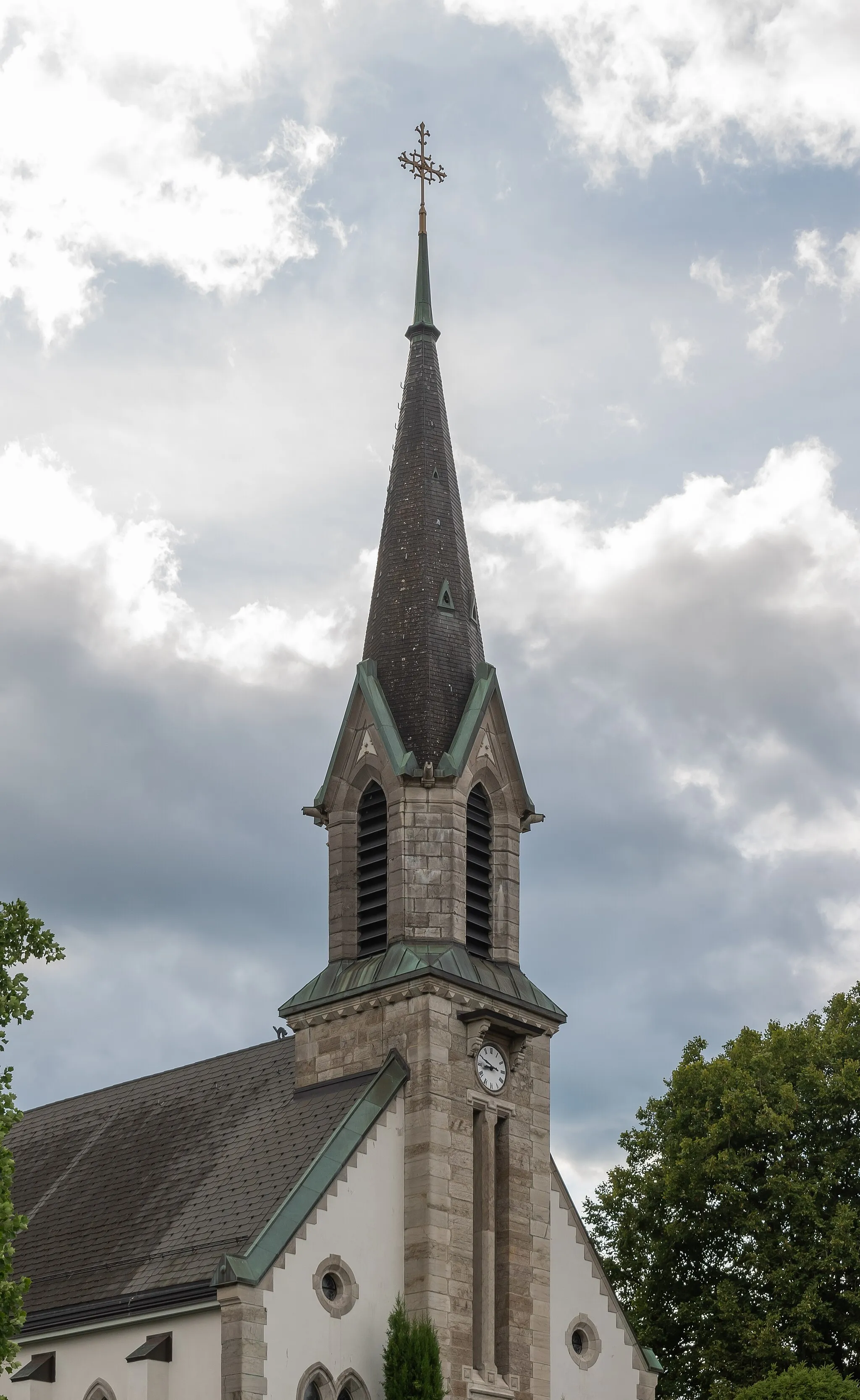
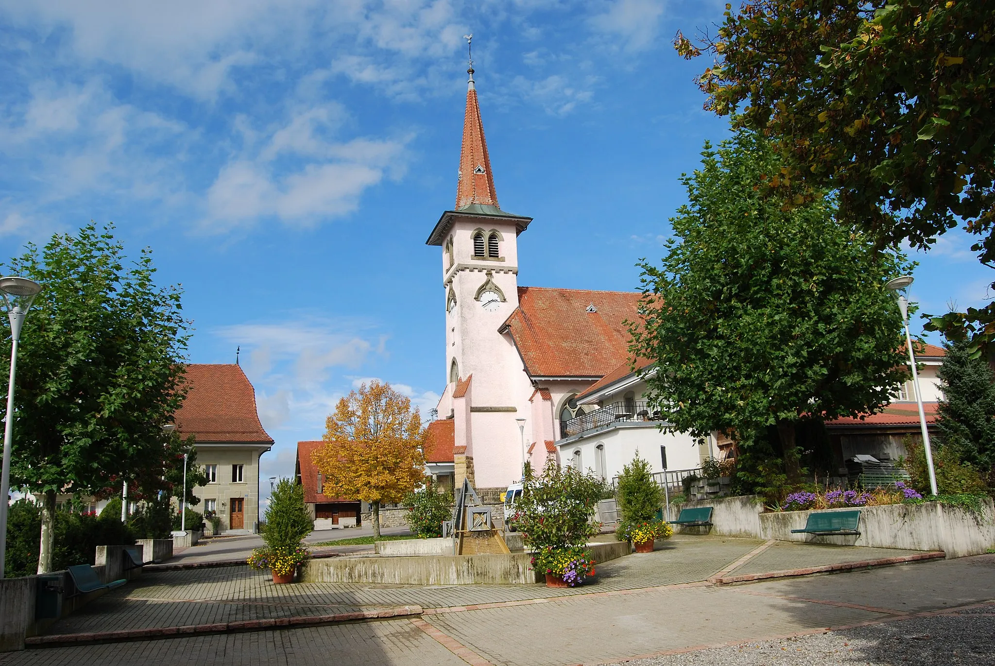
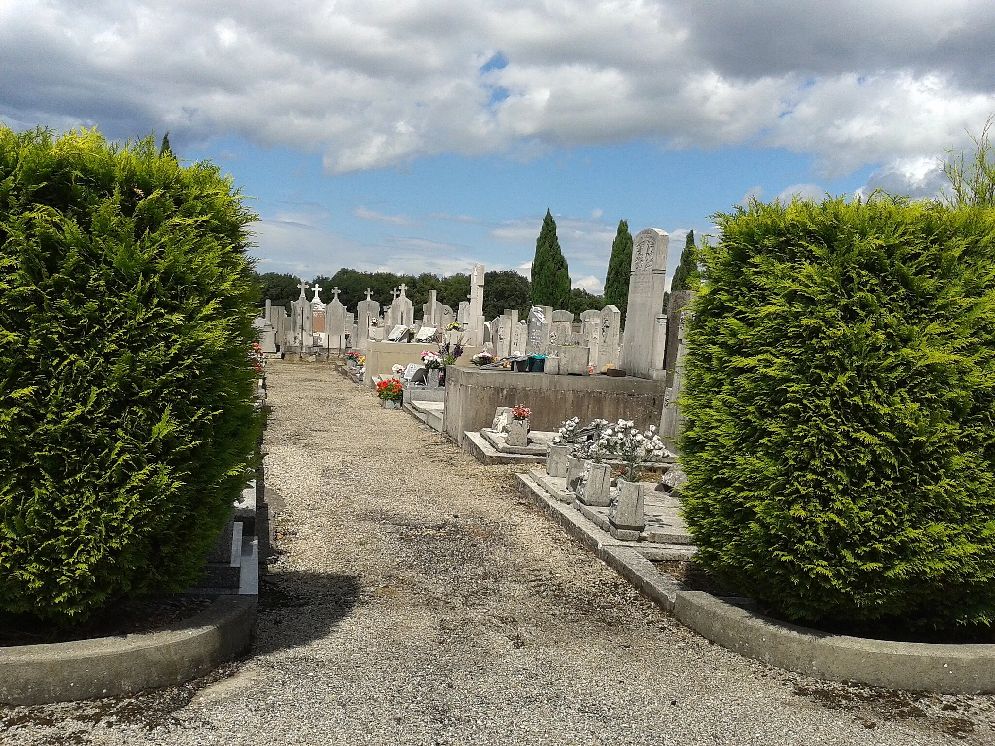
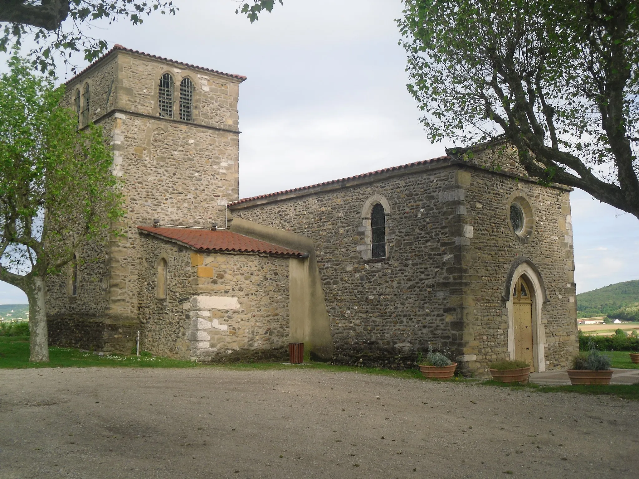
Chasse-sur-Rhône is a town located in the Rhône-Alpes region of France. Cyclists visiting Chasse-sur-Rhône can enjoy scenic rides along the Rhône River and its surrounding countryside. The region offers a mix of flat routes along the riverbanks and challenging climbs in the nearby hills. One of the must-visit cycling spots in the area is Mont Ventoux, a legendary climb that has been featured in the Tour de France multiple times. Cyclists looking for both scenic and challenging rides will find Chasse-sur-Rhône to be a great base for exploring the picturesque Rhône-Alpes region.
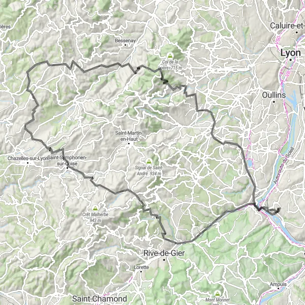
Embark on a challenging ride to reach the Marmottes summit at Saint-Clément-les-Places.
This road cycling route is designed for experienced cyclists looking for a challenge. Starting in Chasse-sur-Rhône, it takes you on a 126-kilometer journey to Saint-Clément-les-Places, reaching an impressive ascent of 2210 meters. With a difficulty rating of 5, the route is demanding and requires excellent fitness. The epicness rating is 4, as you'll cycle through diverse landscapes including mountains, valleys, and charming villages. Highlights include the Table d'orientation, offering panoramic views of the surrounding mountains, and the town of Marmottes at Saint-Clément-les-Places, nestled in a picturesque valley.
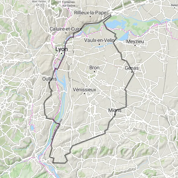
Discover Lyon city and Miribel Lake on this road cycling tour
Experience the best of both worlds with this 82-km road cycling tour that takes you through Lyon city and the beautiful Miribel Lake. Starting near Chasse-sur-Rhône, you'll explore Lyon's vibrant streets and historical sites, including the iconic Place Bellevue. As you venture further, you'll reach the tranquil Miribel Lake, where you can take a break and enjoy the breathtaking scenery. The route also features highlights like Vernaison with its charming streets, Chaponnay, and Haut de Cornavan, offering panoramic views of the surrounding landscapes.
Soucieu-en-Jarrest Road Loop
Discover the scenic beauty of Soucieu-en-Jarrest and its surroundings on this road cycling loop
Experience the scenic beauty of Soucieu-en-Jarrest on this 91-km road cycling loop starting near Chasse-sur-Rhône. This route takes you through picturesque landscapes and charming towns, including Givors, Soucieu-en-Jarrest, Grézieu-la-Varenne, Caluire-et-Cuire, Bron, Marennes, and Haut de Cornavan. Along the way, you'll encounter rolling hills, challenging climbs, and beautiful views. The highlight of the route is Belvédère de Bourg, a breathtaking viewpoint overlooking the countryside.
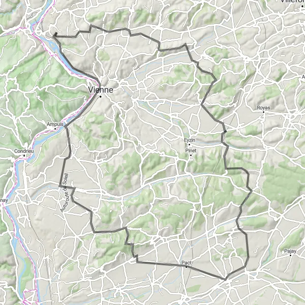
Chasse-sur-Rhône Loop

Experience the stunning scenery of Rhône-Alpes on this challenging road cycling route
This cycling route near Chasse-sur-Rhône takes you through picturesque towns and scenic landscapes of Rhône-Alpes. With a total distance of 67 kilometers and an ascent of 789 meters, it offers a challenging experience for well-trained amateur cyclists.
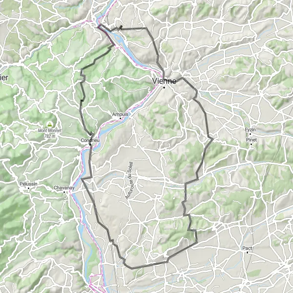
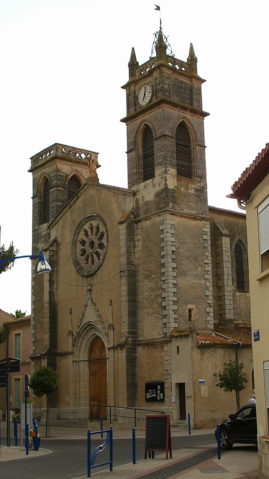
Discover the charming town of Vienne on this scenic ride.
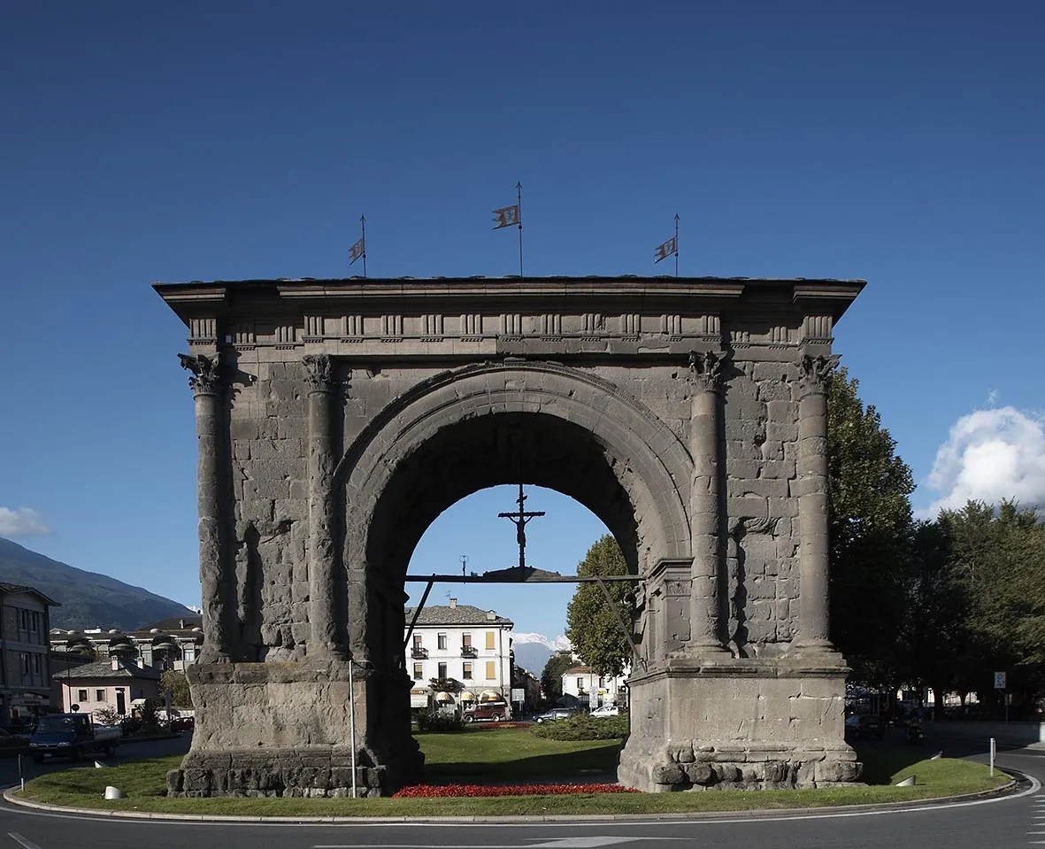
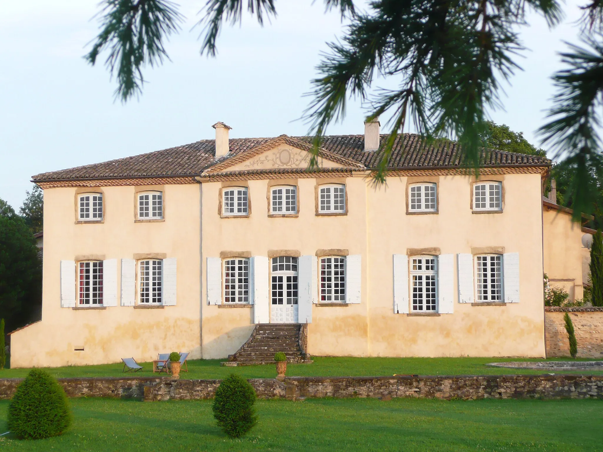
This road cycling route takes you from Chasse-sur-Rhône to the historic town of Vienne. Along the way, you'll enjoy beautiful scenery and challenging climbs. The route covers a distance of 89 kilometers and includes an ascent of 1211 meters. It is suitable for well-trained amateurs with a moderate difficulty level of 3. The epicness rating is 4, as the route offers stunning views of the Rhône Valley. Highlights include the Belvédère de Pipet with its panoramic views, the Table d'orientation where you can admire the surrounding landscapes, and the charming town of Vienne itself.

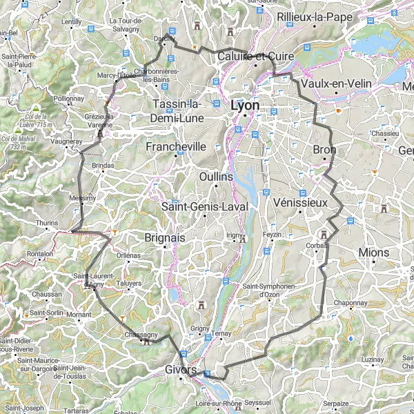
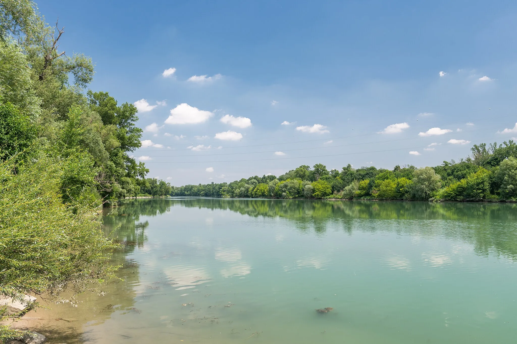
Experience a challenging road cycling adventure alongside the majestic Rhône River
Embark on a thrilling 103-km road cycling adventure starting near Chasse-sur-Rhône. This route offers stunning views of the Rhône River, challenging climbs, and picturesque towns along the way. Highlights include Chasse-sur-Rhône itself, where you can start your journey, Orliénas with its charming streets and beautiful landscapes, Craponne known for its historical sites, and Dommartin with its majestic castle. As you conquer the Mont Verdun climb, you'll be rewarded with breathtaking panoramic views. The route also takes you to Belvédère de la Madone, a famous cycling spot popular among enthusiasts.

Explore the natural beauty of the regions of Vernaison and Miribel on this road cycling route.
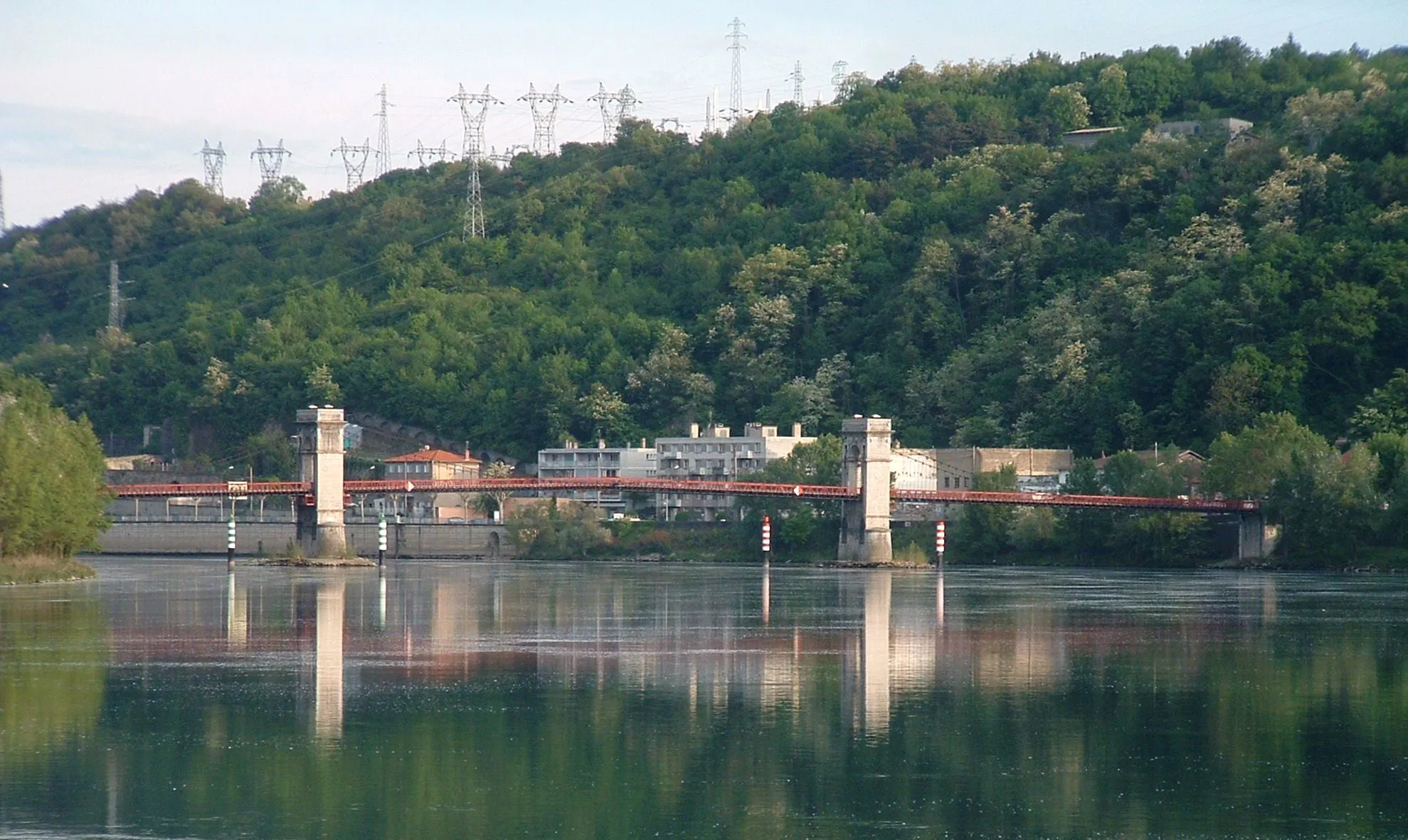
This road cycling route takes you from Vernaison to Miribel, showcasing the natural beauty of the region. Covering a distance of 97 kilometers, the route includes an ascent of 772 meters. It is suitable for well-trained amateurs with a difficulty level of 3. The epicness rating is 4, as you'll have the opportunity to cycle along the banks of the Rhône River and enjoy scenic views. Highlights include the panoramic viewpoint at Collonges-au-Mont-d'Or, offering stunning vistas of Lyon and the surrounding countryside, and the La Jetée bridge, a popular hangout spot for locals and cyclists.
Loire-sur-Rhône Loop
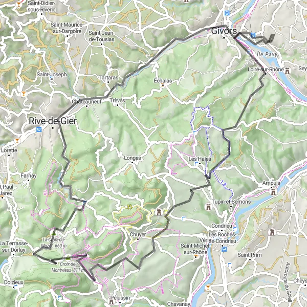
Experience the beauty of the Loire-sur-Rhône region on this scenic loop ride.
This road cycling route offers a scenic loop from Chasse-sur-Rhône, showcasing the beauty of the Loire-sur-Rhône region. Covering a distance of 78 kilometers, the route includes an ascent of 1219 meters. It is suitable for well-trained amateurs with a difficulty level of 4. The epicness rating is 3, as you'll have the opportunity to explore picturesque landscapes and charming towns along the way. Highlights include the village of Loire-sur-Rhône, with its peaceful riverside setting, and the medieval village of Sainte-Croix-en-Jarez, known for its preserved architecture.
Gravel Adventure to Lyon
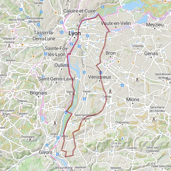
Embark on a gravel adventure to Lyon, the gastronomic capital of France.
This gravel cycling route takes you from Chasse-sur-Rhône to Lyon, the vibrant capital of the Rhône-Alpes region. Covering a distance of 63 kilometers, the route includes 423 meters of ascent. It is suitable for well-trained amateurs with a difficulty level of 2. The epicness rating is 3, as you'll have the opportunity to explore both urban and natural landscapes. Highlights include the city of Lyon itself, with its world-renowned cuisine and architectural wonders, and the scenic Belvédère de la centrale hydroélectrique de Cusset, offering a stunning view of the hydroelectric power plant and its surroundings.
Conquer the challenging route to Haut de Cornavan and experience breathtaking views along the way
Take on a 105-km road cycling challenge to Haut de Cornavan, starting near Chasse-sur-Rhône. This route offers stunning views and thrilling climbs, perfect for experienced cyclists. Highlights include Haut de Cornavan, a legendary climb known for its scenic beauty and rewarding views, Chuzelles with its charming streets, Septème with its historical sites, Meyssiez surrounded by beautiful landscapes, Pisieu known for its peaceful atmosphere, La Chapelle-de-Surieu with its picturesque countryside, and Vienne, a historic town on the banks of the Rhône River.
Cycling routes nearby:

Nearby regions: