Discover vineyards and medieval villages on cycling routes in Grigny.
Cycling routes from Grigny
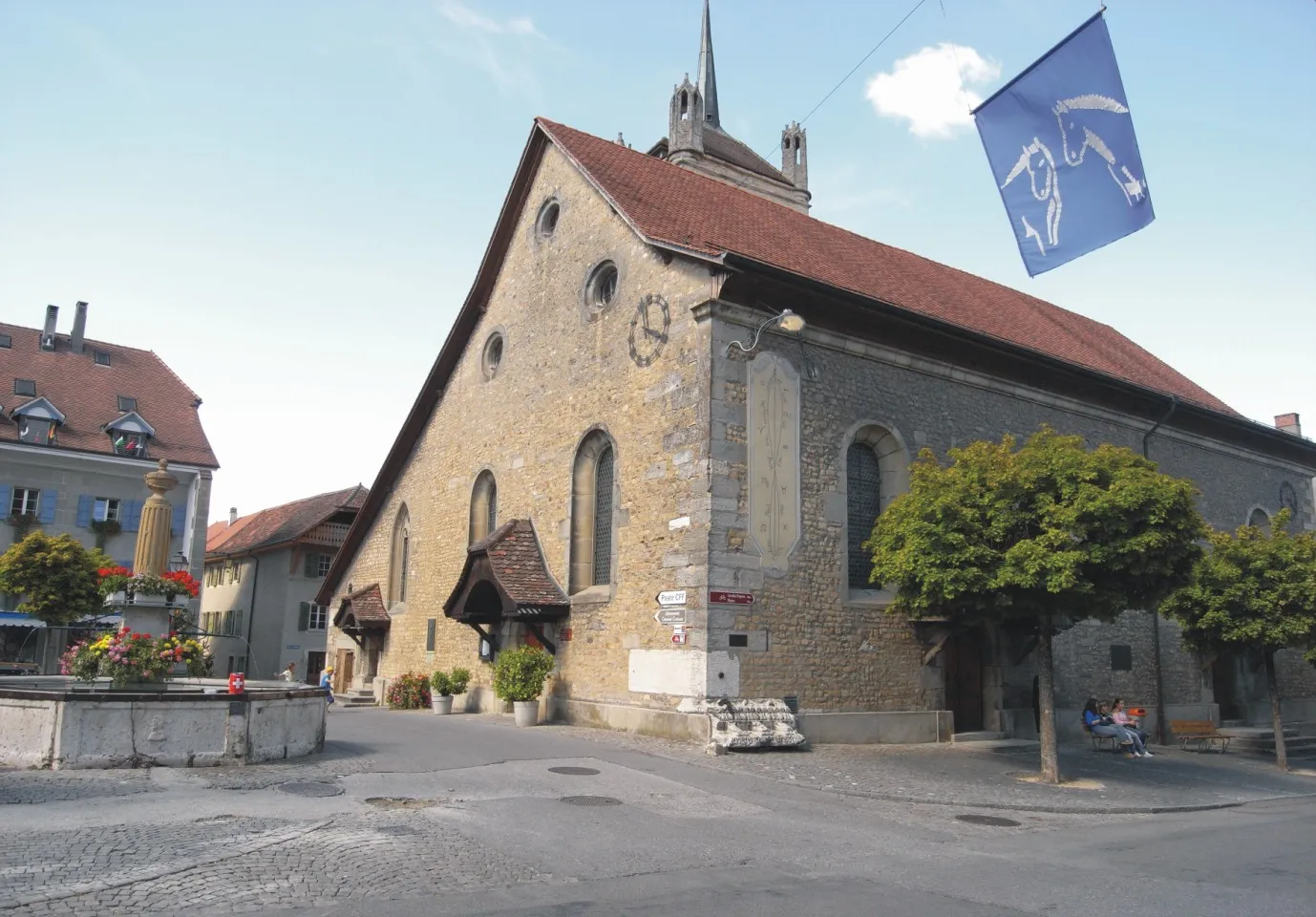
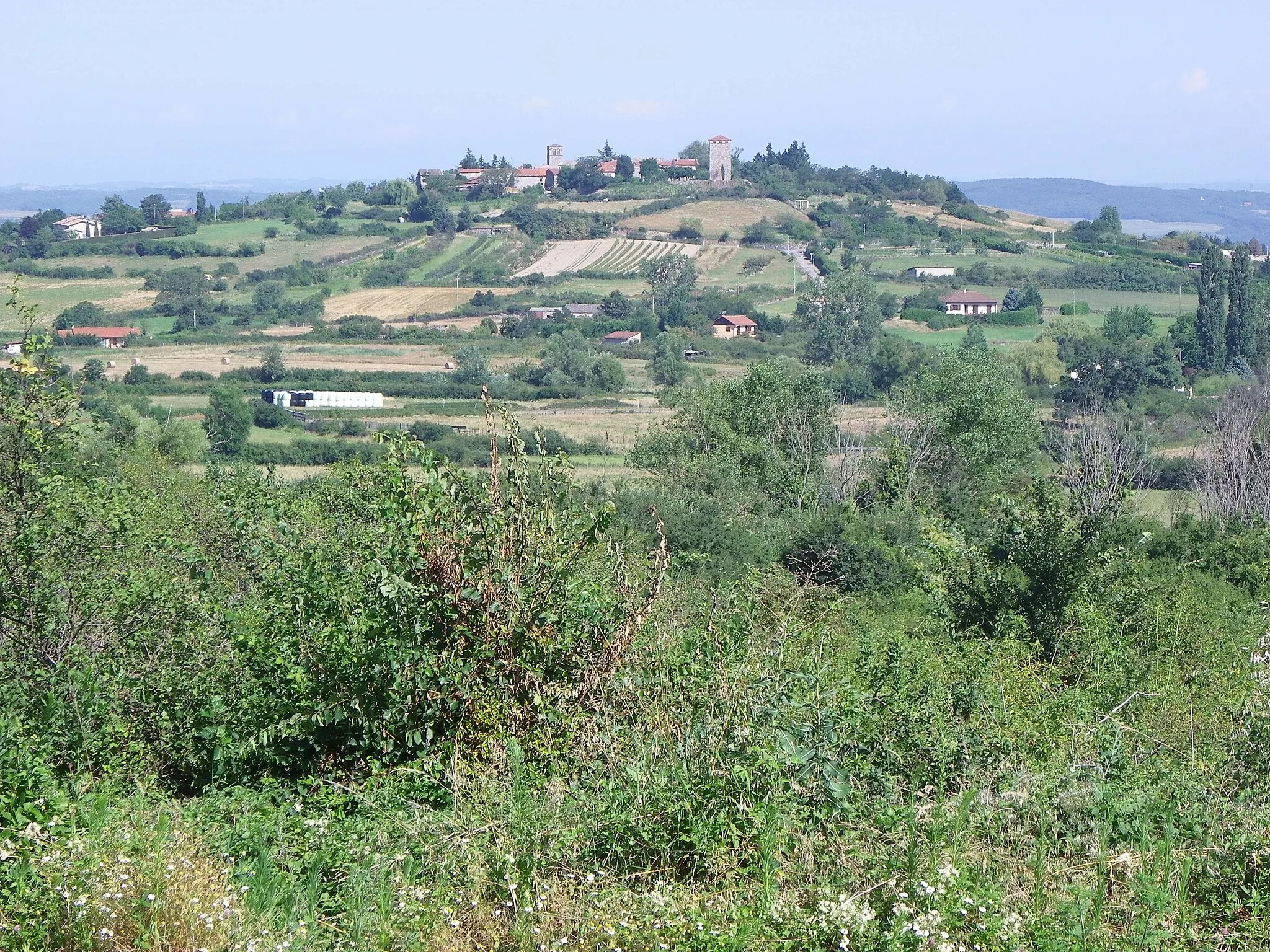
Grigny, located in Rhône-Alpes, France, provides road and gravel cyclists with a variety of picturesque cycling options. The locality is surrounded by stunning vineyards and medieval villages, offering a charming cycling experience. Cyclists can venture out on routes like the Beaujolais loop, which gives them a glimpse into the region's vineyard heritage. Grigny's proximity to Lyon also provides access to additional cycling opportunities. With its scenic landscapes and cultural richness, Grigny deservedly takes a rank of 4.
Discover the charming town of Loire-sur-Rhône on this thrilling gravel cycling route.
Embark on a gravel adventure through the scenic landscape of Rhône-Alpes, starting near Grigny. This route takes you on a 66-kilometer journey with a total ascent of 1166 meters. Get ready to immerse yourself in nature and explore picturesque towns along the way. The route is suitable for gravel bikes, providing a unique experience for cycling enthusiasts.
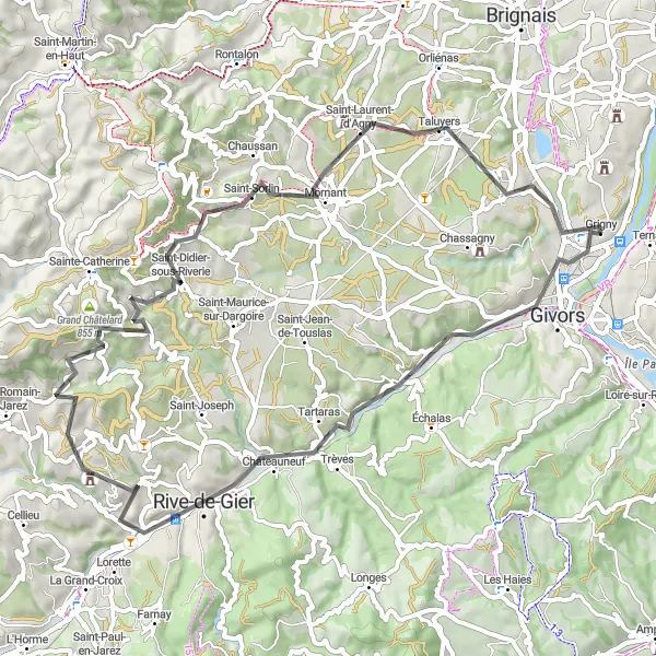
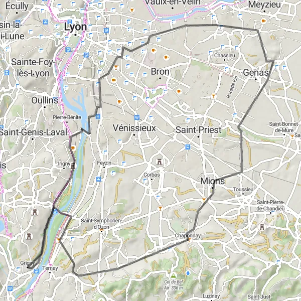
Chaponost Loop
A scenic road cycling adventure with a touch of history
Embark on a 49 km road cycling journey that combines breathtaking scenery with a touch of history. The Chaponost Loop boasts an ascent of 371 meters, making it suitable for cyclists with intermediate-level fitness. With a difficulty level of 2 and an epicness score of 3, this route offers a pleasant ride for cyclists looking for a mix of nature and cultural highlights.
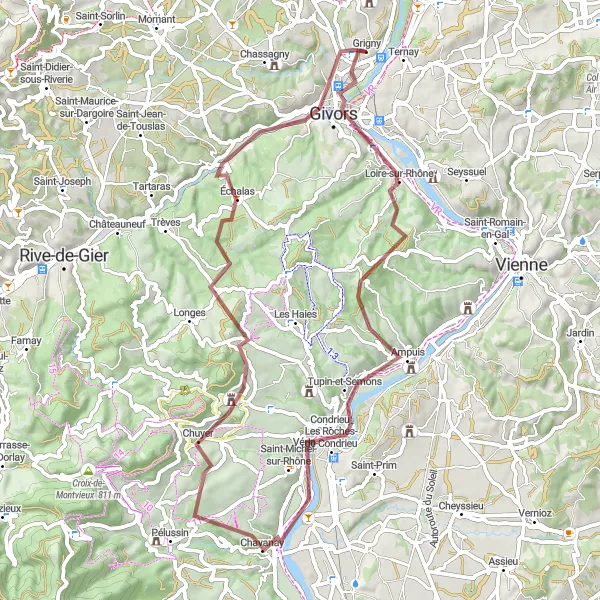
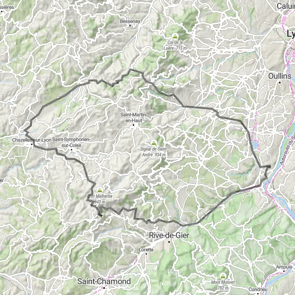
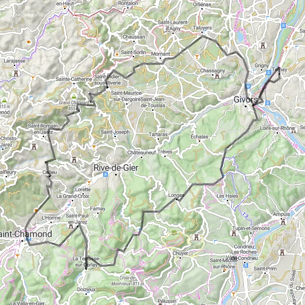
The Trèves Challenge
Ascend the breathtaking Trèves hill on this adventurous road cycling route
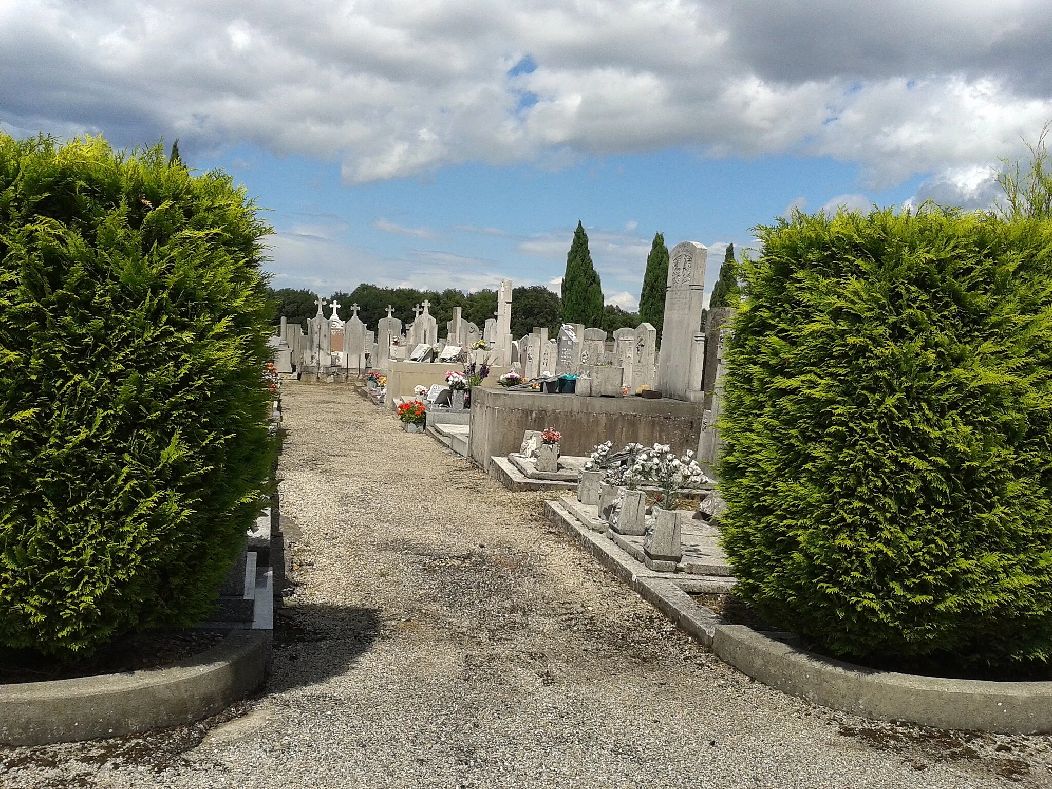
This challenging road cycling route takes you through the magnificent Rhône-Alpes region of France. With a total ascent of 1859m and a distance of 117km, it is a thrilling adventure for experienced cyclists. The highlight of the route is the Trèves hill, where you will conquer an elevation gain of 15m along a 1-km stretch. The stunning views and the sense of achievement will make it all worth it. Other noteworthy highlights include Saint-Chamond, with its charming town center, and Givors, a picturesque town situated on the banks of the Rhône River.
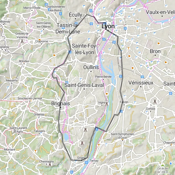
A challenging ride with a mix of natural beauty and cultural highlights
Take on the Givors Exploration, a 104 km road cycling route that combines challenging climbs with breathtaking scenery and cultural highlights. With an ascent of 1743 meters, this route is recommended for experienced cyclists. The difficulty level is rated at 5, making it one of the most challenging routes in the region. The epicness score of 4 signifies the mixture of natural beauty and cultural attractions along the way.
Journey Through the Hills
Embark on a scenic road cycling journey through picturesque hills and charming villages
This road cycling route is perfect for those who enjoy challenging climbs and stunning scenery. With an ascent of 1259m and a distance of 86km, it offers a thrilling adventure for experienced cyclists. Highlights along the route include the charming village of Châteauneuf, which is known for its medieval architecture and scenic views. Another highlight is Point de vue Rochefort, a lookout point offering panoramic views of the surrounding countryside. The difficulty level of this route is moderate, making it suitable for well-trained amateurs.
A challenging road cycling expedition through the scenic Valloire Valley
Embark on a 135 km road cycling adventure through the picturesque Valloire Valley. This route provides a thrilling experience for cyclists with a total ascent of 1489 meters. With a difficulty level of 4 and an epicness score of 5, this tour is recommended for experienced riders looking for a true cycling challenge in beautiful surroundings.
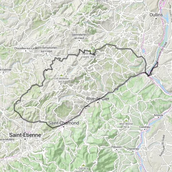
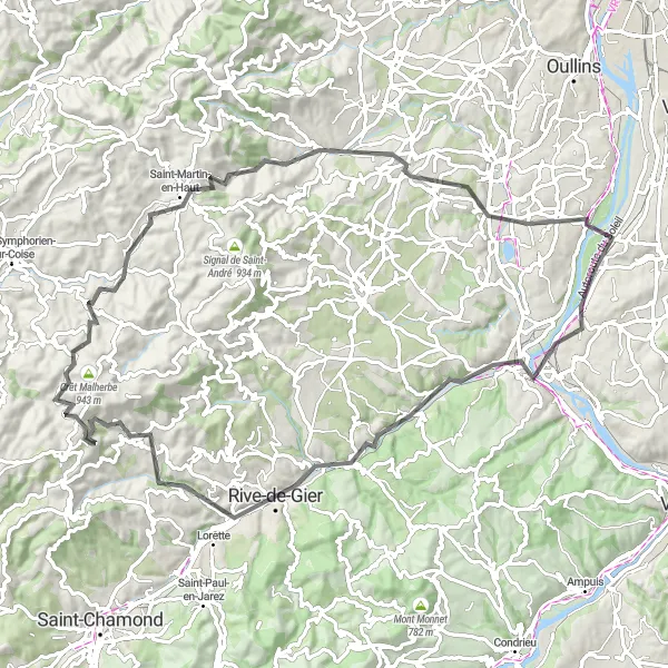
The Treves Tour
An exhilarating road cycling journey through picturesque landscapes
The Treves Tour is an immersive road cycling experience that takes you through stunning landscapes in the Rhône-Alpes region of France. With a total distance of 61 km and an ascent of 845 meters, this route offers a challenging yet rewarding adventure for cyclists. The difficulty level is rated at 3, suitable for well-trained amateurs. The epicness score of 4 signifies the beautiful scenery and unique highlights along the way.
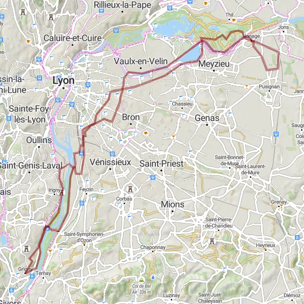
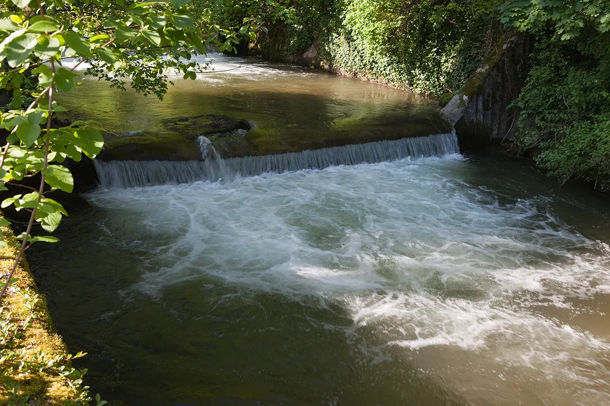
Embark on an off-road adventure through picturesque landscapes and nature reserves
This gravel cycling route takes you off the beaten path, allowing you to fully immerse yourself in the stunning landscapes of the Rhône-Alpes region. With a moderate ascent of 392m and a distance of 88km, it is suitable for cyclists of all levels. Highlights along the route include the Belvédère de la centrale hydroélectrique de Cusset, offering breathtaking views of the hydroelectric power plant and the surrounding nature reserve. Another highlight is Jonage, where you can cycle through beautiful nature trails and enjoy the tranquility of the area. This route is perfect for nature lovers and those looking for a unique cycling experience.
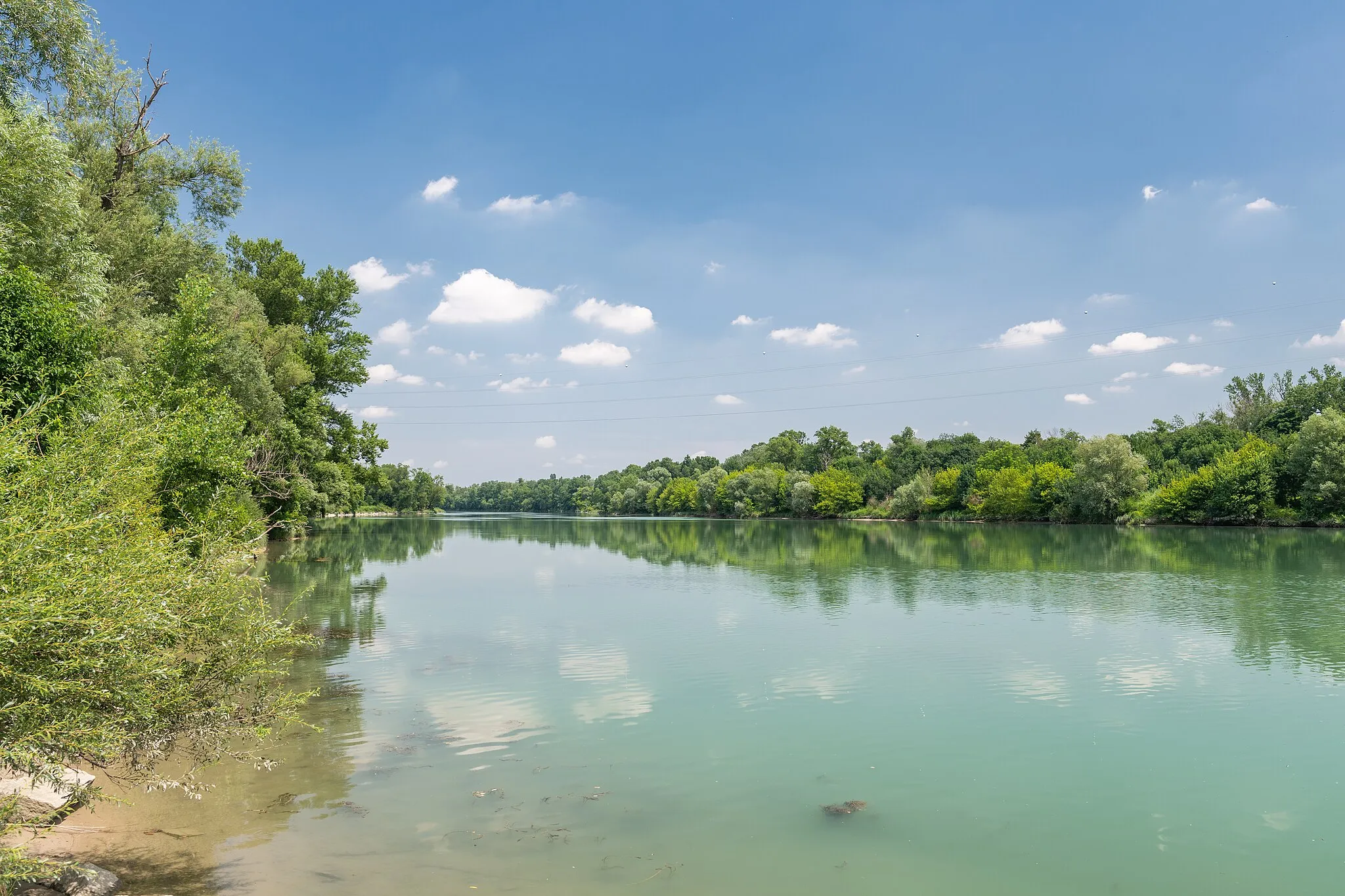
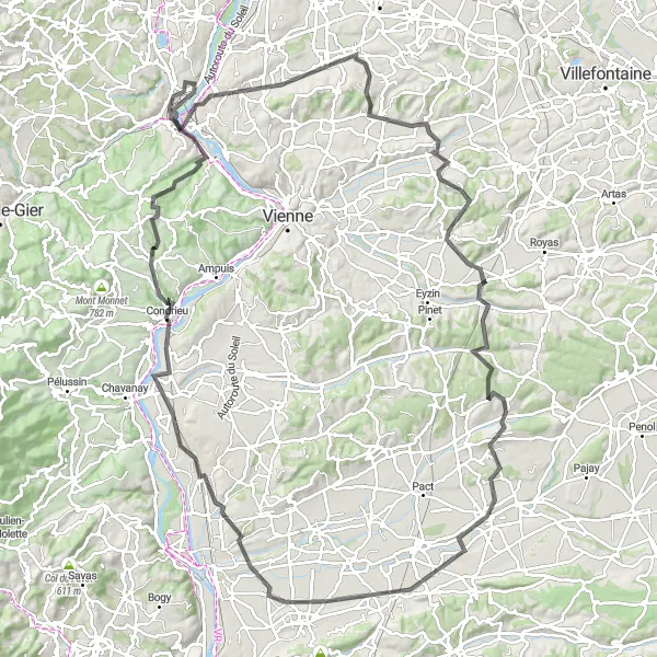
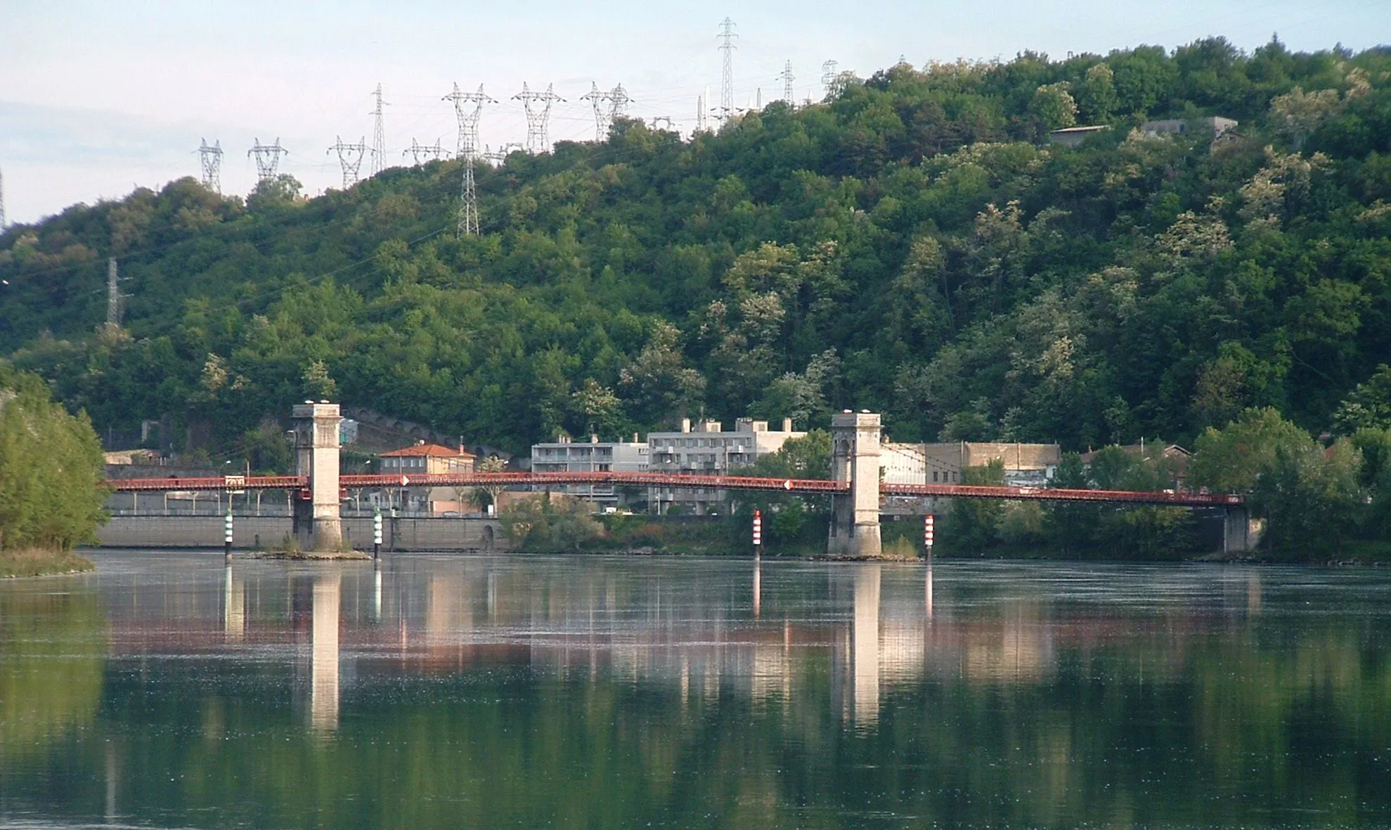
Discover the Rhone River Road
Experience the beauty of the Rhone River as you cycle along this scenic road route.
This road cycling route near Grigny takes you on a 71-kilometer journey with an ascent of 499 meters. Enjoy the picturesque scenery and ride through charming towns along the banks of the Rhone River. This route is suitable for road bikes and offers a pleasant and moderately challenging ride for well-trained amateur cyclists.
A scenic road cycling route with beautiful highlights
This road cycling route starts in Grigny and takes you through stunning scenery in the Rhône-Alpes region of France. The route covers 100 kilometers and has a total ascent of 1781 meters. It is suitable for well-trained amateur cyclists and offers an epic cycling experience.
Cycling routes nearby:

Nearby regions: