The Trèves Challenge
A road cycling route starting from Grigny
Ascend the breathtaking Trèves hill on this adventurous road cycling route
Map
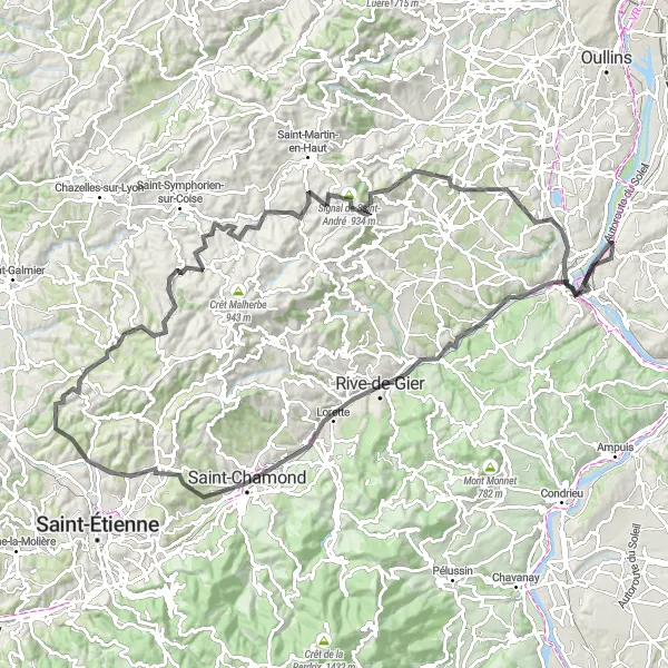
This challenging road cycling route takes you through the magnificent Rhône-Alpes region of France. With a total ascent of 1859m and a distance of 117km, it is a thrilling adventure for experienced cyclists. The highlight of the route is the Trèves hill, where you will conquer an elevation gain of 15m along a 1-km stretch. The stunning views and the sense of achievement will make it all worth it. Other noteworthy highlights include Saint-Chamond, with its charming town center, and Givors, a picturesque town situated on the banks of the Rhône River.
road
117 km
1859 m
Tough
Route profile
Highlights on the route
0 km
0 km
Start: Ternay Village centerGrigny: Discover vineyards and medieval villages on cycling routes in Grigny.
Grigny, located in Rhône-Alpes, France, provides road and gravel cyclists with a variety of picturesque cycling options. The locality is surrounded by stunning vineyards and medieval villages, offering a charming cycling experience. Cyclists can venture out on routes like the Beaujolais loop, which gives them a glimpse into the region's vineyard heritage. Grigny's proximity to Lyon also provides access to additional cycling opportunities. With its scenic landscapes and cultural richness, Grigny deservedly takes a rank of 4.15 km
15 km
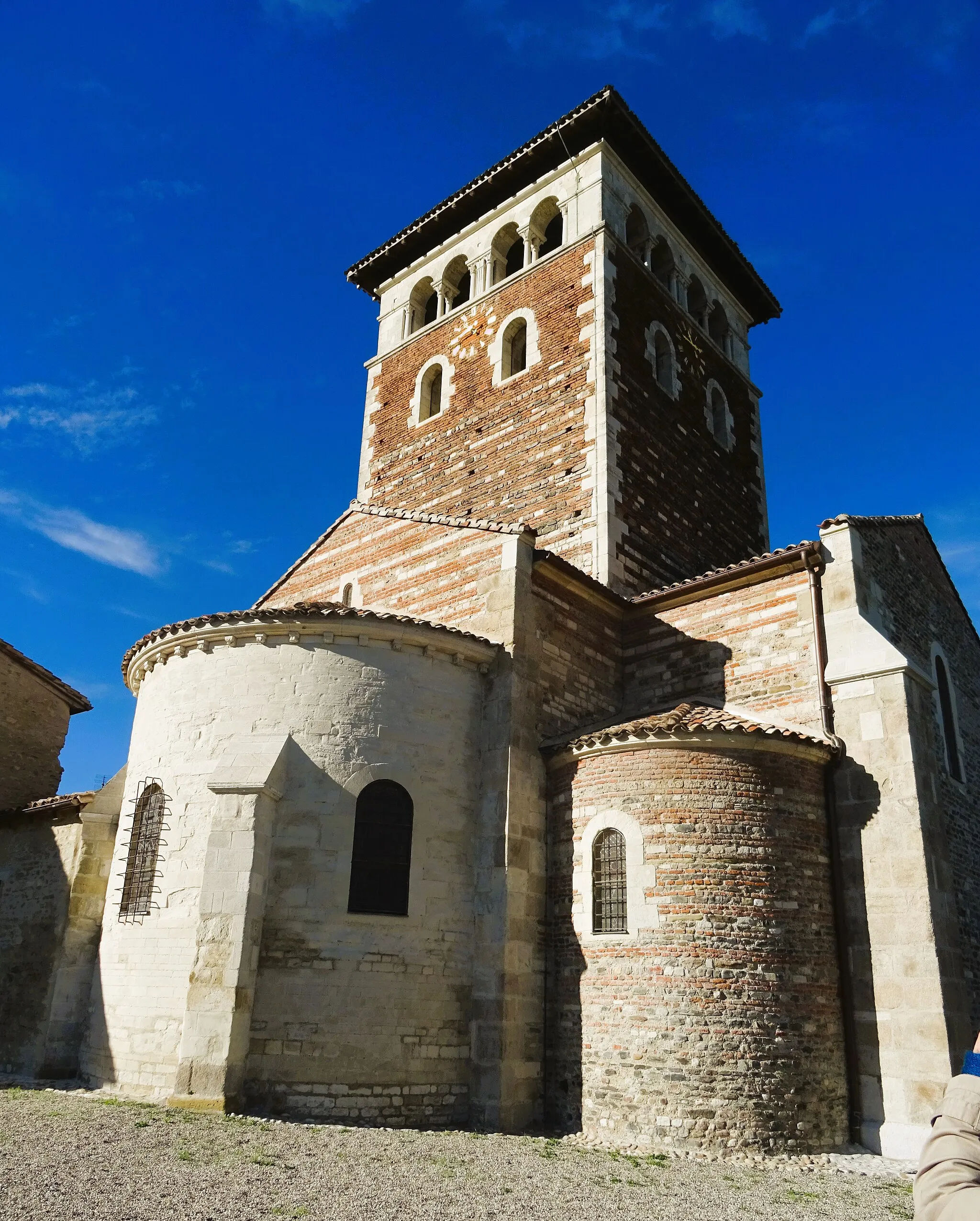
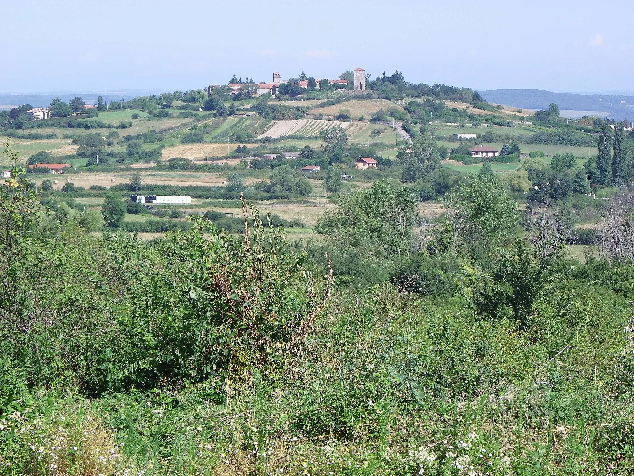
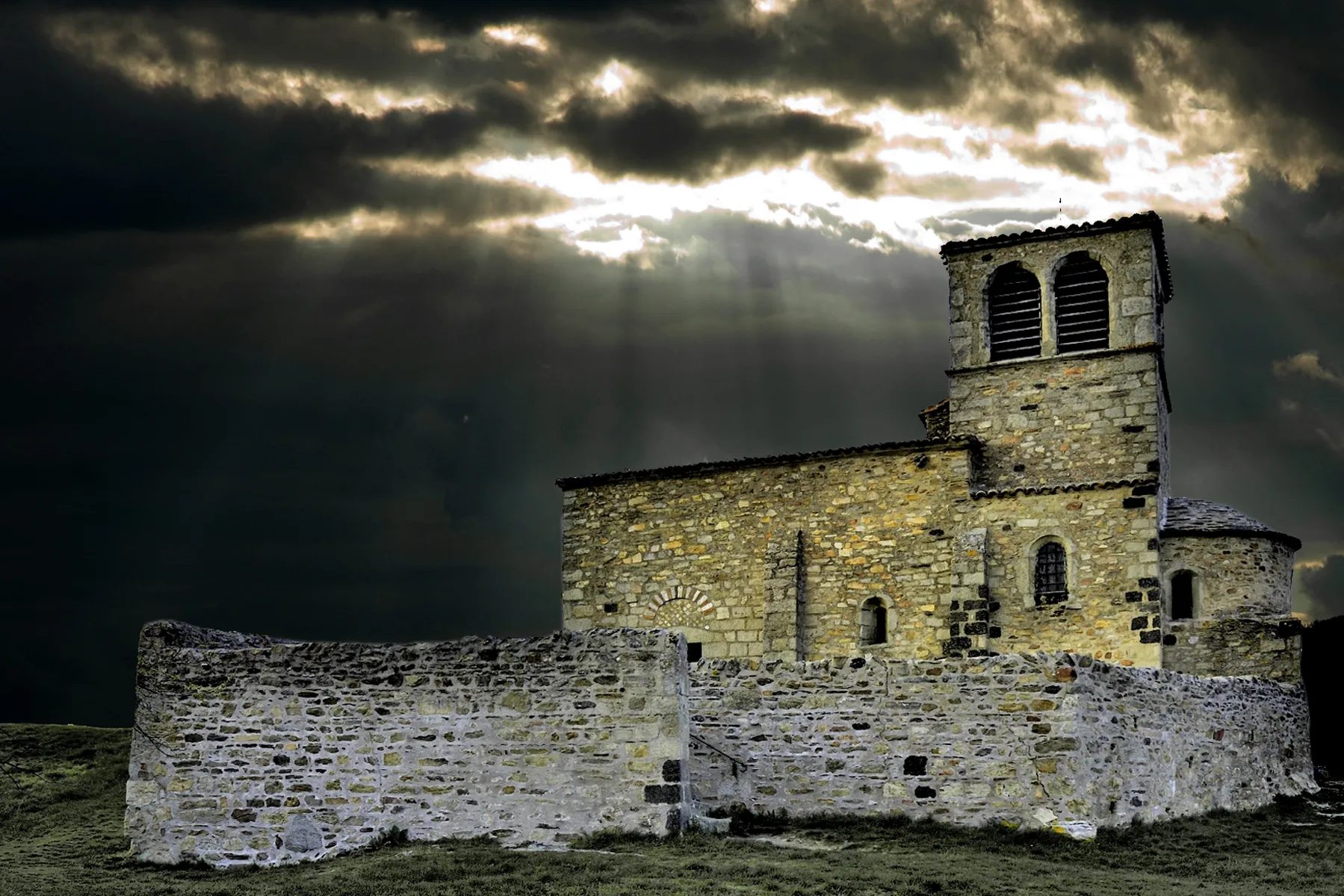
TrèvesVillageTrèves is a hidden gem, offering breathtaking views of the surrounding landscapes
31 km
31 km
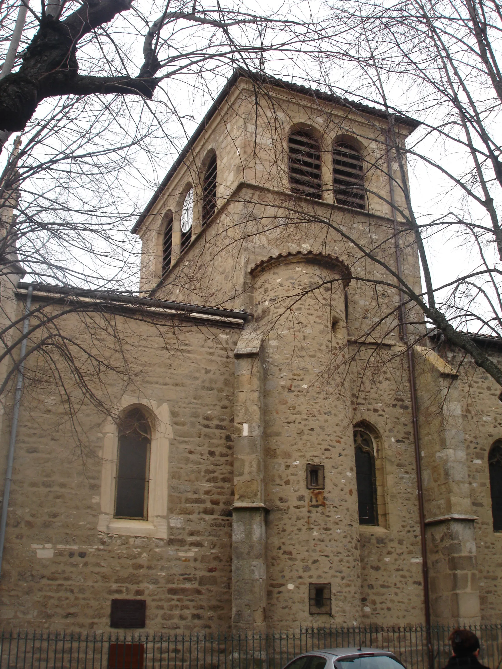
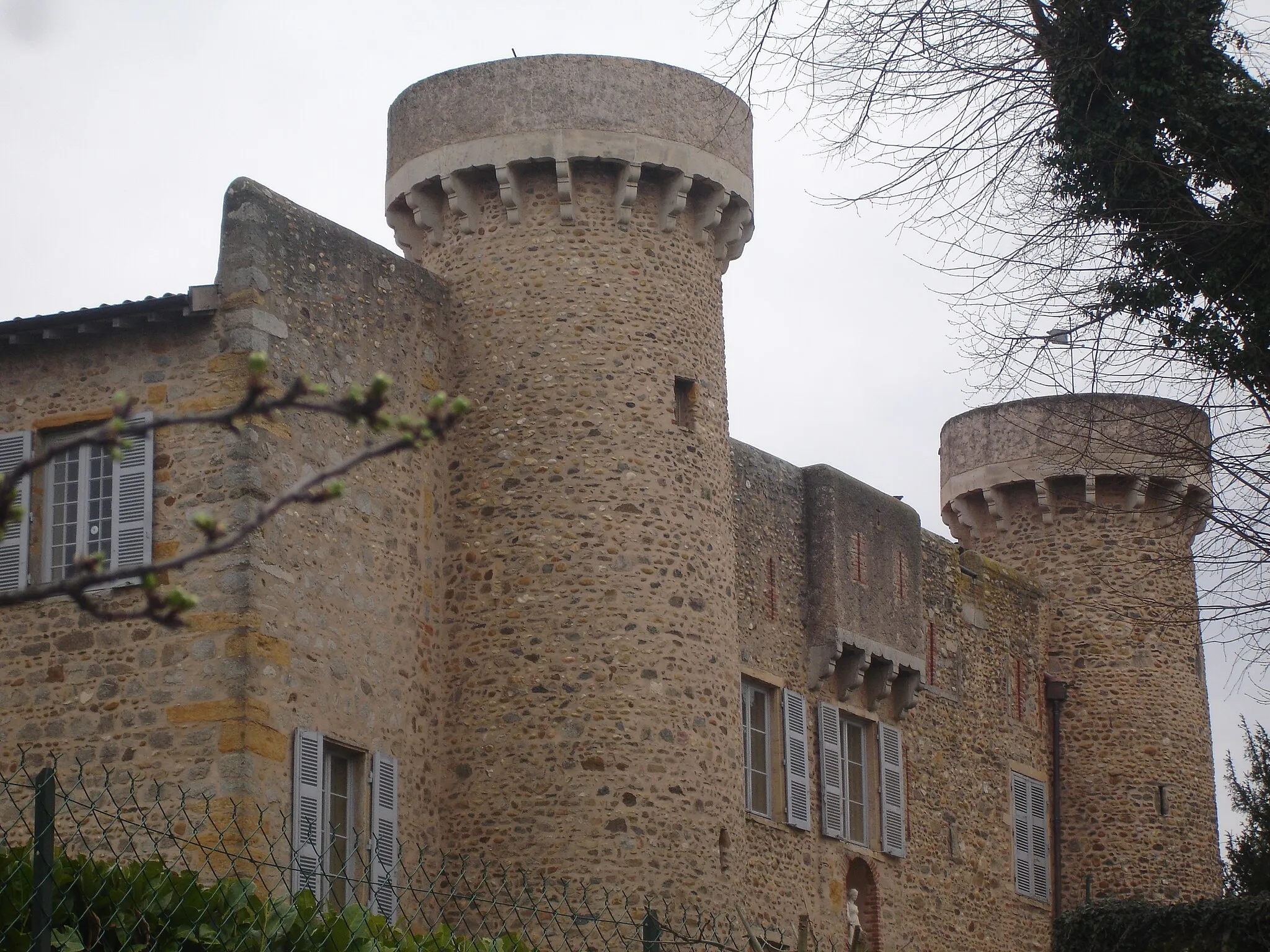
Saint-ChamondTownSaint-Chamond is a historic town with a beautiful town center
51 km
51 km
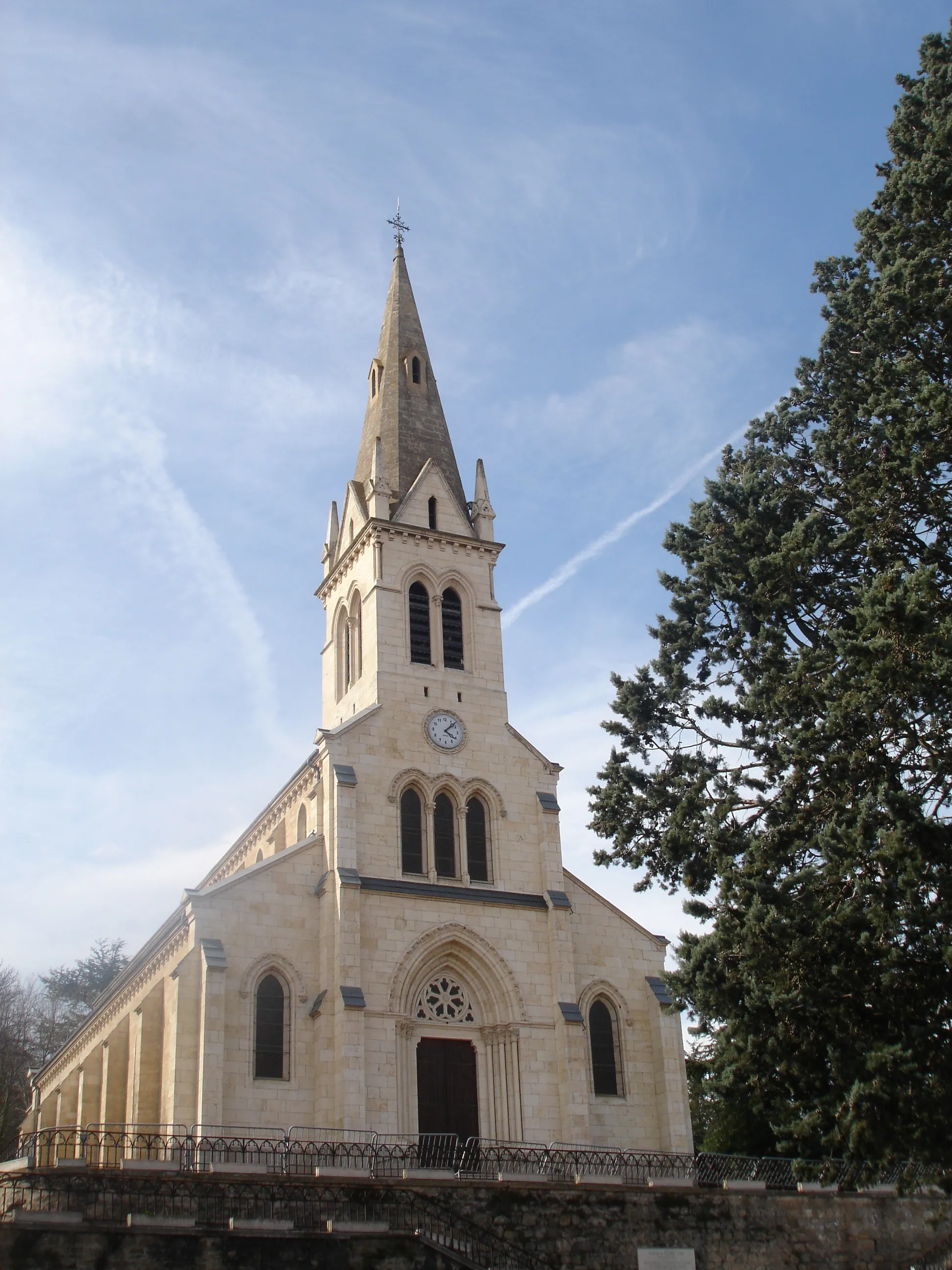
Saint-HéandVillageSaint-Héand is a quaint village with traditional French charm
71 km
71 km
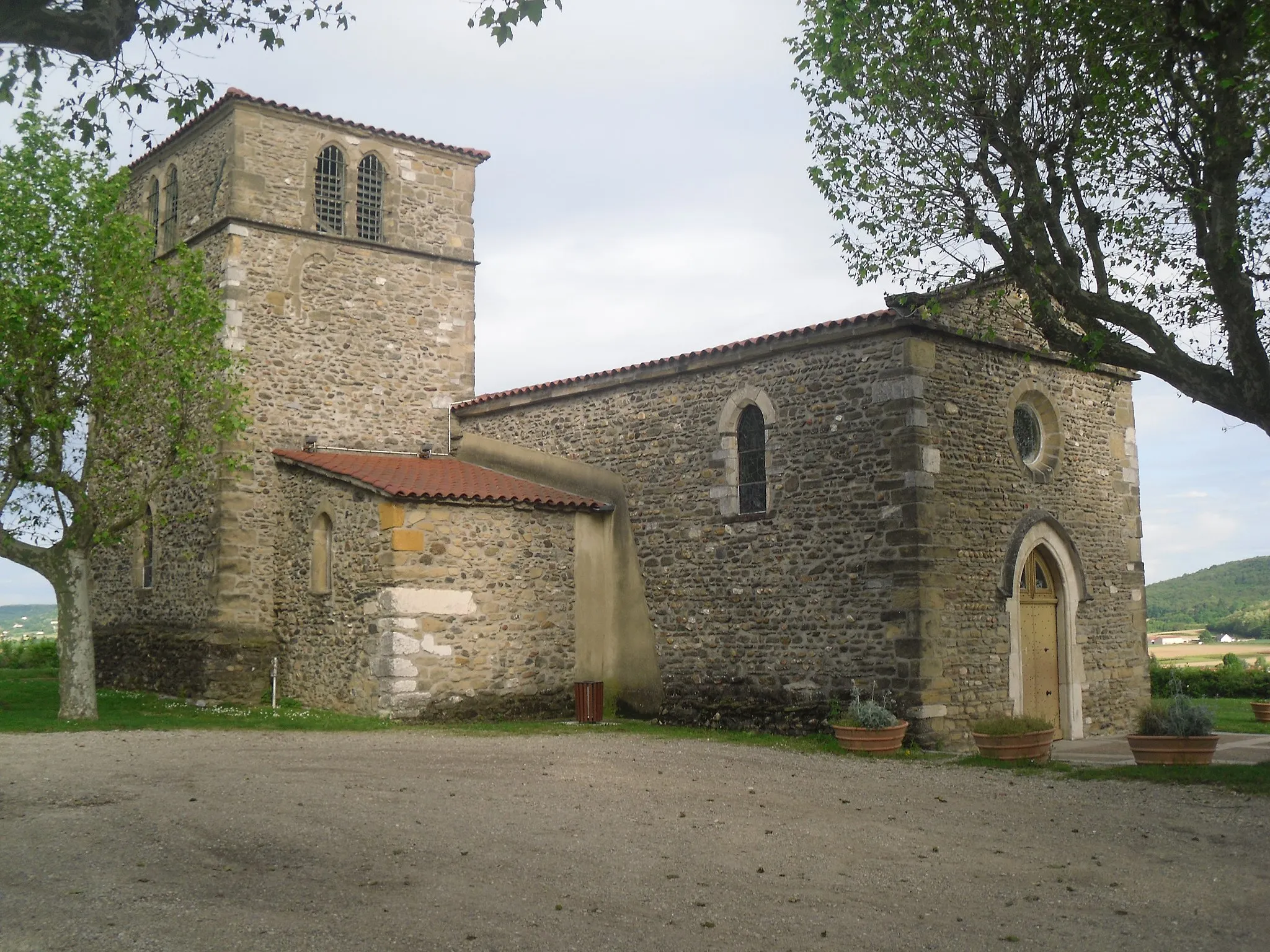
CoiseVillageCoise is a small village with a rich history and beautiful architecture
87 km
87 km
Signal de Saint-André934 mPeakClimb the Signal de Saint-André and enjoy panoramic views of the surrounding mountains
89 km
89 km
Saint-André-la-CôteVillageSaint-André-la-Côte is a picturesque village known for its peaceful atmosphere
99 km
99 km
Saint-Laurent-d'AgnyVillageSaint-Laurent-d'Agny is a charming village surrounded by vineyards
111 km
111 km
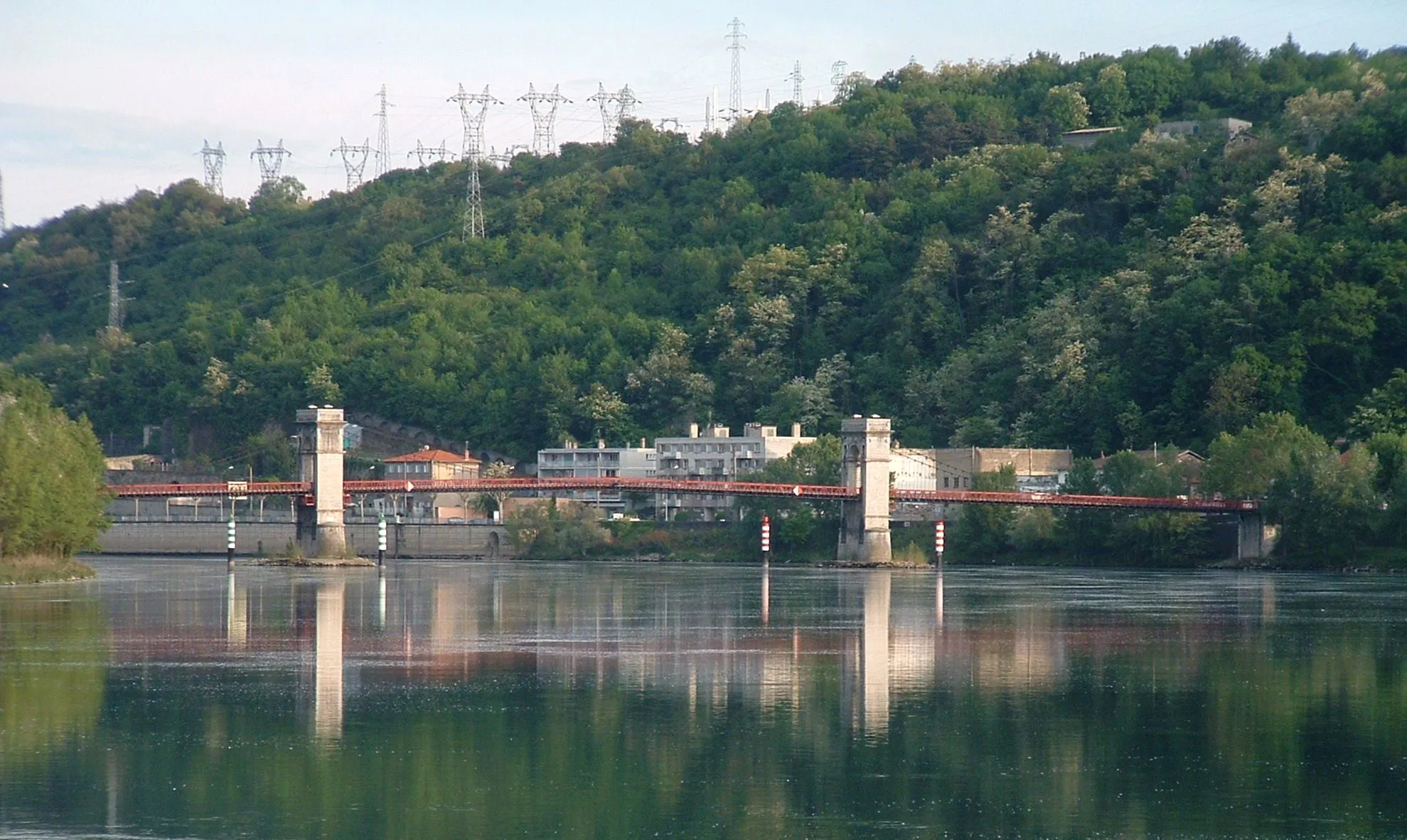
GivorsTownGivors is a charming town located on the banks of the Rhône River
117 km
117 km
Finish: Ternay Village centerGrigny: Discover vineyards and medieval villages on cycling routes in Grigny.
Cycling routes from Grigny:
Grands Barrages & Lyon Metropolis The Gravel Adventure The Trèves Challenge Givors Exploration The Treves Tour Chaponost Loop The Valloire Valley Adventure Journey Through the Hills Road Route from Grigny to Ternay Oullins Adventure Discover the Picturesque Rhône-Alpes Discover the Rhone River Road Loire-sur-Rhône Gravel Adventure
Cycling routes nearby: