Exploring the Countryside
A gravel cycling route starting from Corbas
Experience the beauty of rural landscapes and charming villages
Map

This gravel route takes cyclists on a scenic journey through the rural landscapes near Corbas. With a total ascent of 1117 meters and a distance of 96 kilometers, this ride offers a moderate challenge. Highlights along the way include Vernaison, a picturesque village known for its charming streets and historical landmarks. The Lorette, a hill offering stunning viewpoints, is another noteworthy stop. Overall, this route allows cyclists to immerse themselves in the tranquility of the countryside while enjoying the beauty of the Rhône-Alpes region.
gravel
96 km
1117 m
Tough
Route profile
Highlights on the route
0 km
0 km
Start: Corbas Village centerCorbas: Unforgettable rides await in Corbas.
Corbas is a small town located in the Rhône-Alpes region of France. It boasts a variety of cycling routes, both on roads and a network of gravel paths. The terrain is mainly flat, making it suitable for riders of all levels. Additionally, Corbas is home to the Parc de Parilly, a popular cycling spot with trails that cater to different skill levels. With its well-maintained paths and cycling-friendly infrastructure, Corbas is a top destination for cyclists in the Rhône-Alpes region.10 km
10 km
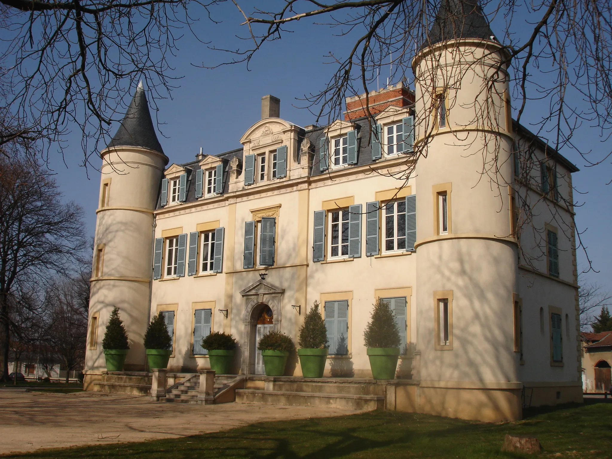
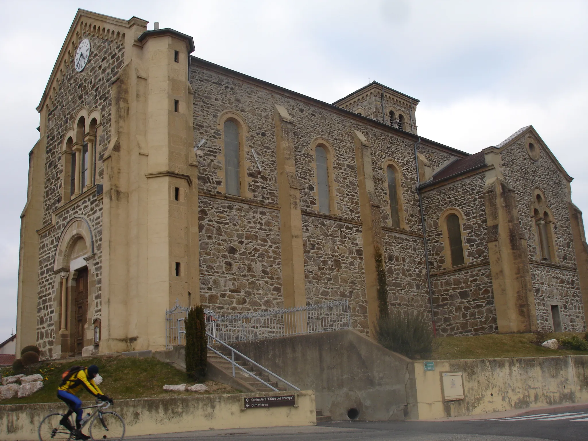
VernaisonVillageVernaison, a charming village with historical landmarks and picturesque streets.
26 km
26 km
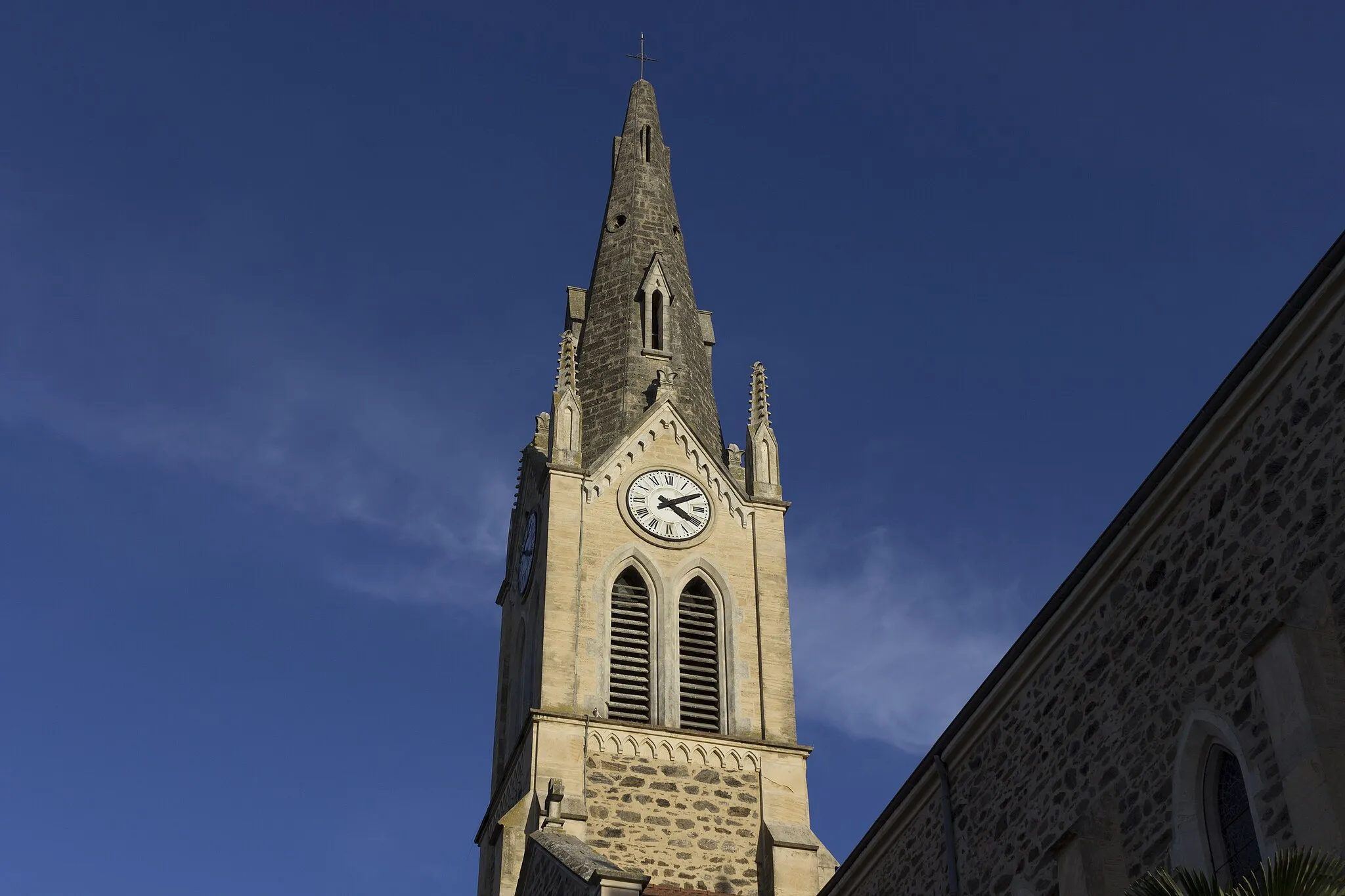
MornantVillageMornant, a small town surrounded by rolling hills and scenic landscapes.
49 km
49 km
LoretteVillageLorette, a hill with breathtaking viewpoints of the surrounding countryside.
57 km
57 km
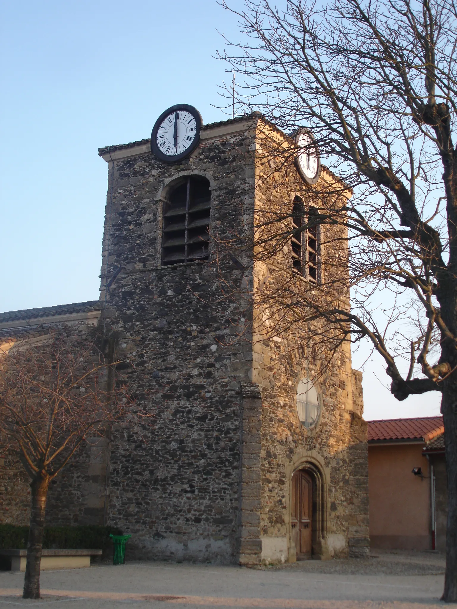
Saint-JosephVillageSaint-Joseph, a peaceful village with glimpses of Roman history.
58 km
58 km
Crêt de Chagneux406 mPeakCrêt de Chagneux, a peak with commanding views of the Rhône-Alpes region.
71 km
71 km
ChassagnyVillageChassagny, a small village surrounded by picturesque farmland and vineyards.
88 km
88 km
Saint-FonsTownSaint-Fons, a town with historical landmarks and a charming atmosphere.
96 km
96 km
CorbasVillageCorbas, the starting point and endpoint of the route.
96 km
96 km
Finish: Corbas Village centerCorbas: Unforgettable rides await in Corbas.
Cycling routes from Corbas:
Valencin Loop Picturesque Road Cycling Discovery Saint-Priest Loop Gravel Adventure on the Road Less Traveled Cycling Adventure Through Rhône-Alpes Chasse-sur-Rhône Adventure Scenic Road Cycling Adventure Exploring the Countryside The Ultimate Cycling Challenge Countryside Escape Marennes Road Cycling Route
Cycling routes nearby: