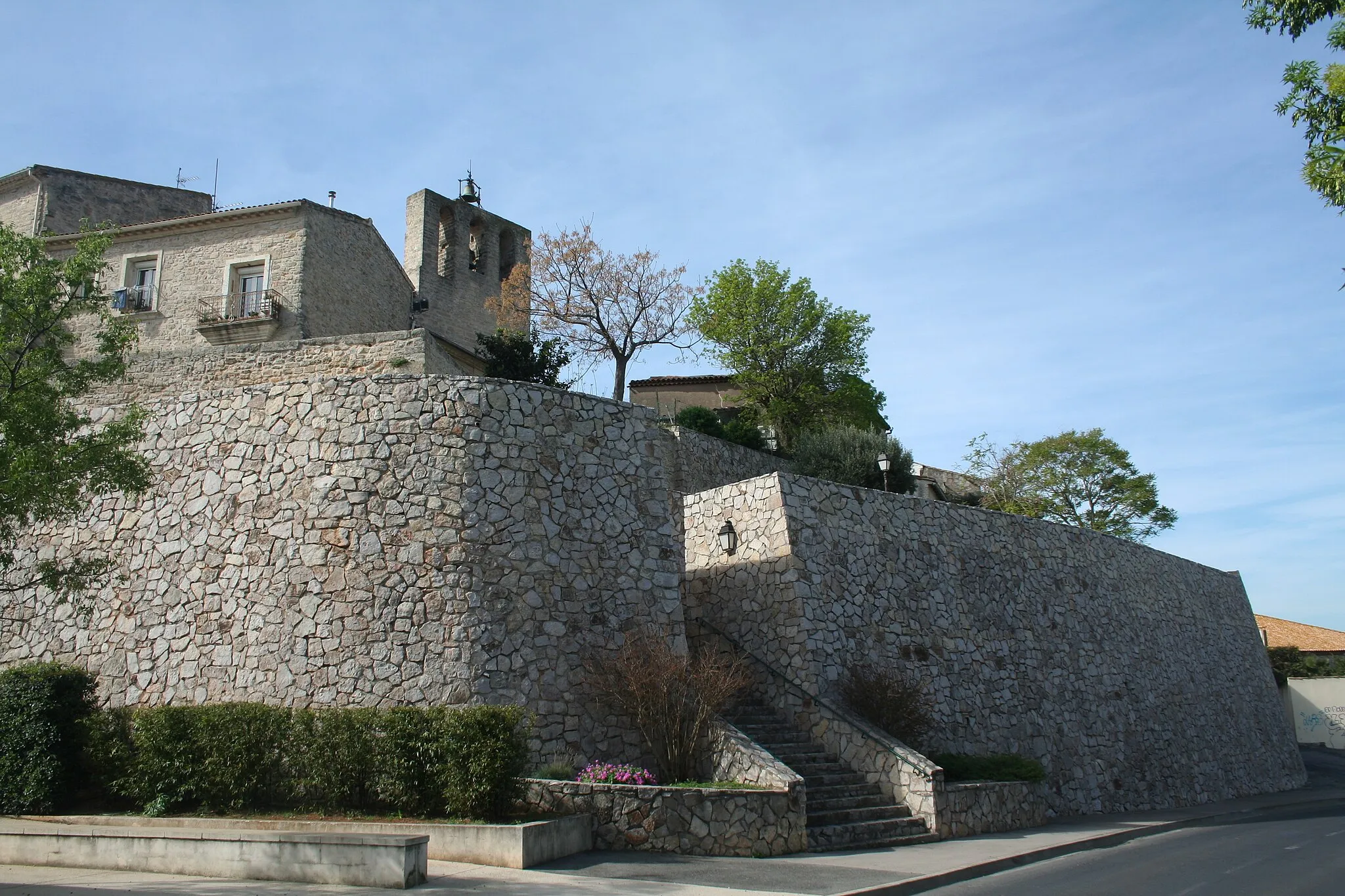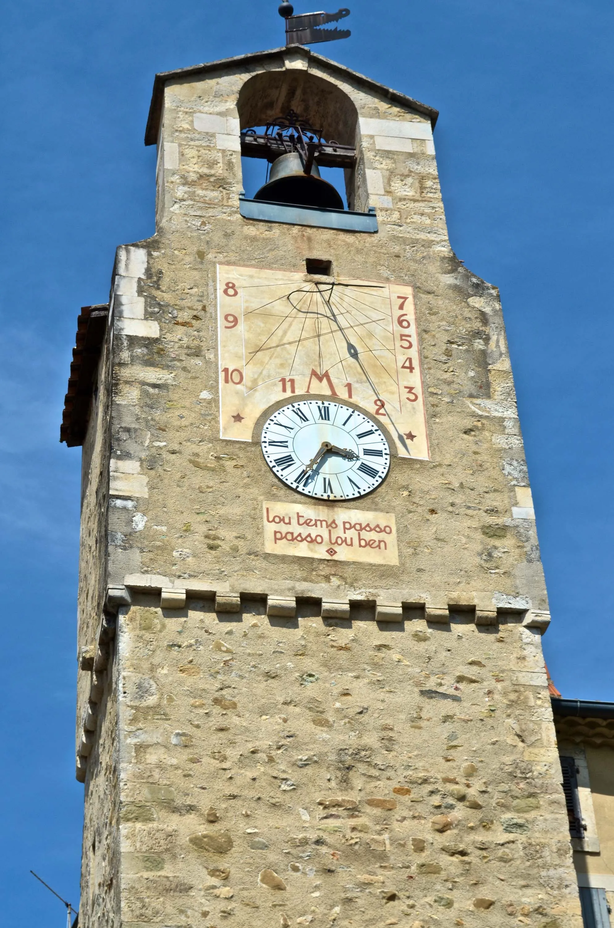
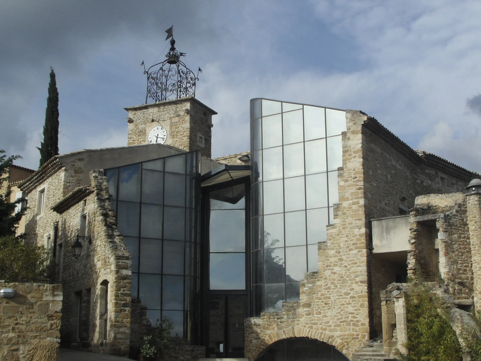
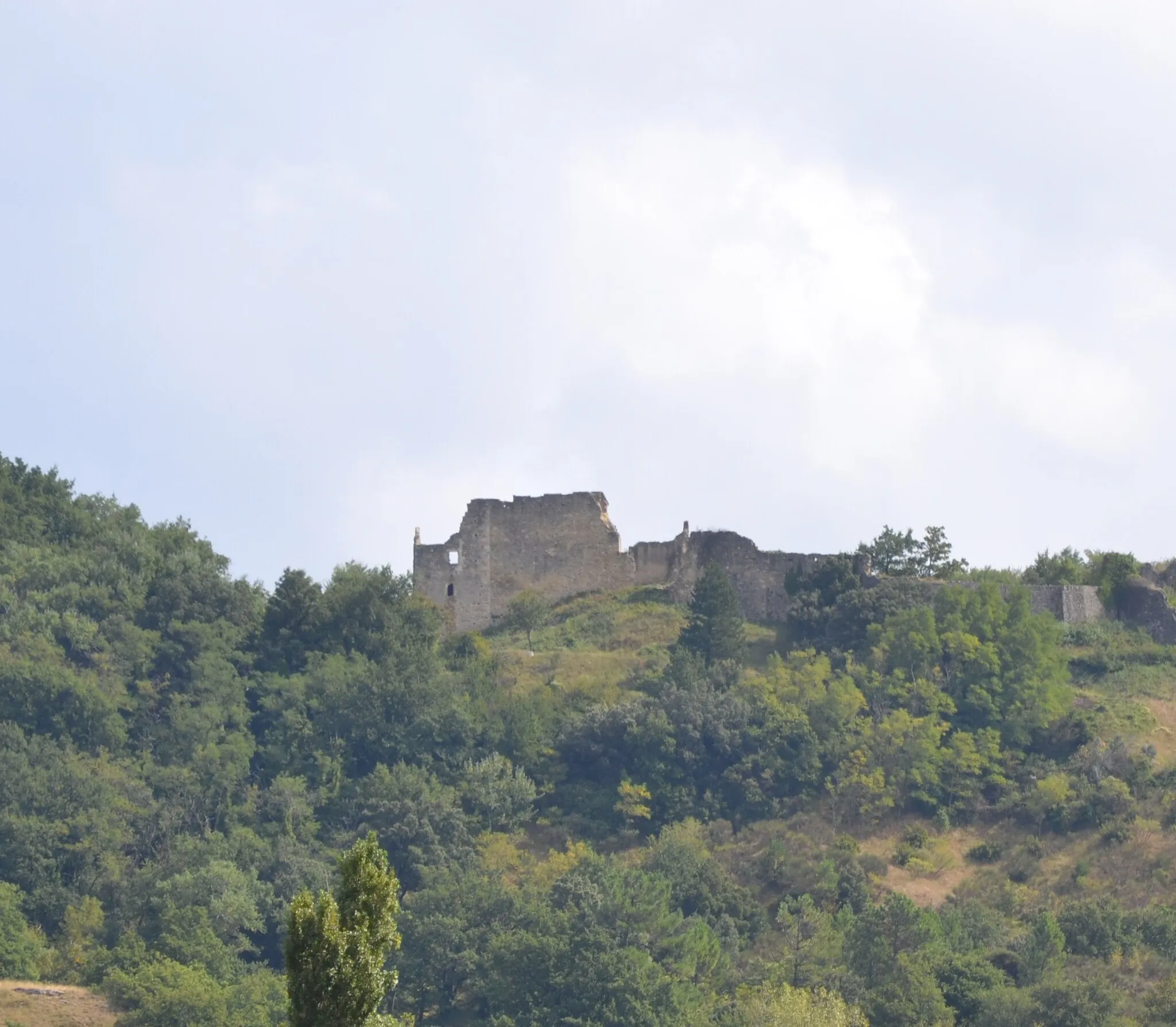
Charming town with access to incredible climbing opportunities.
Cycling routes from Dieulefit
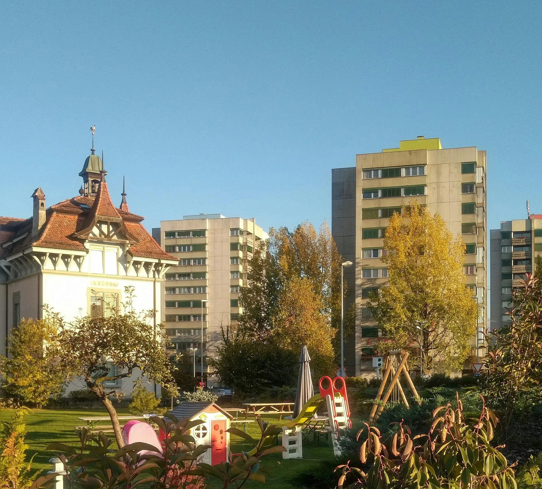
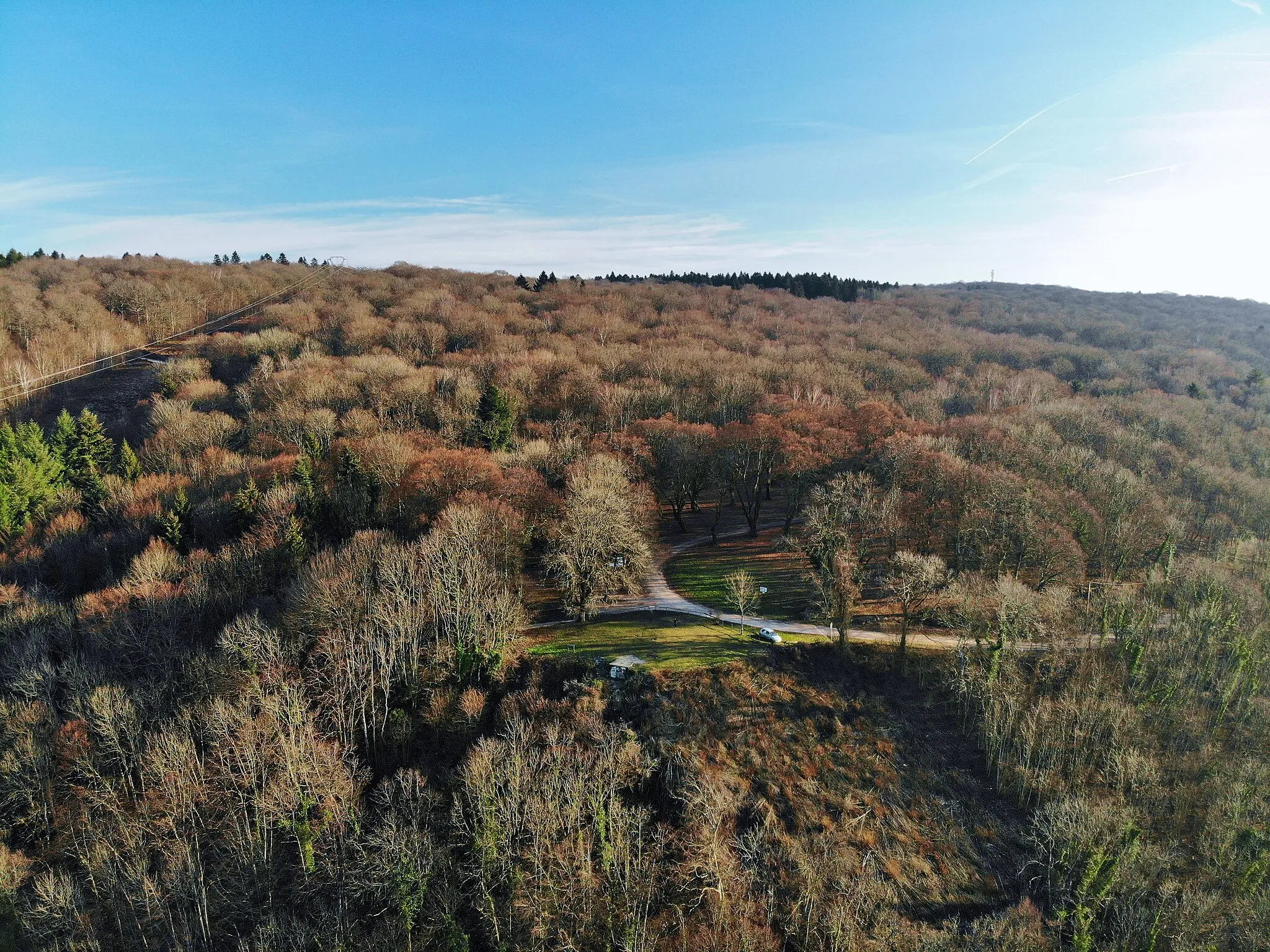
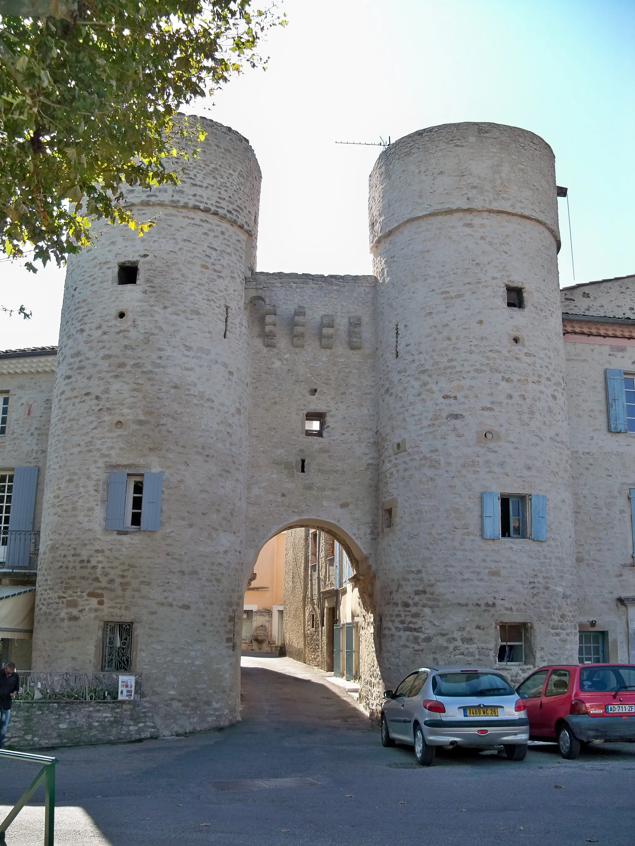
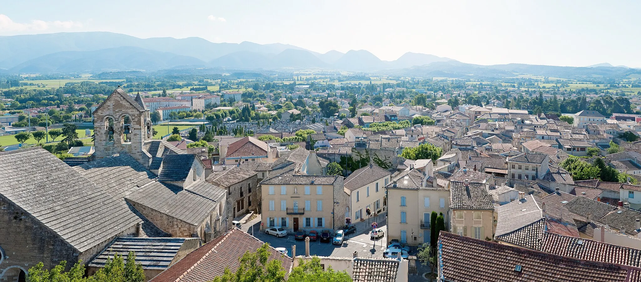
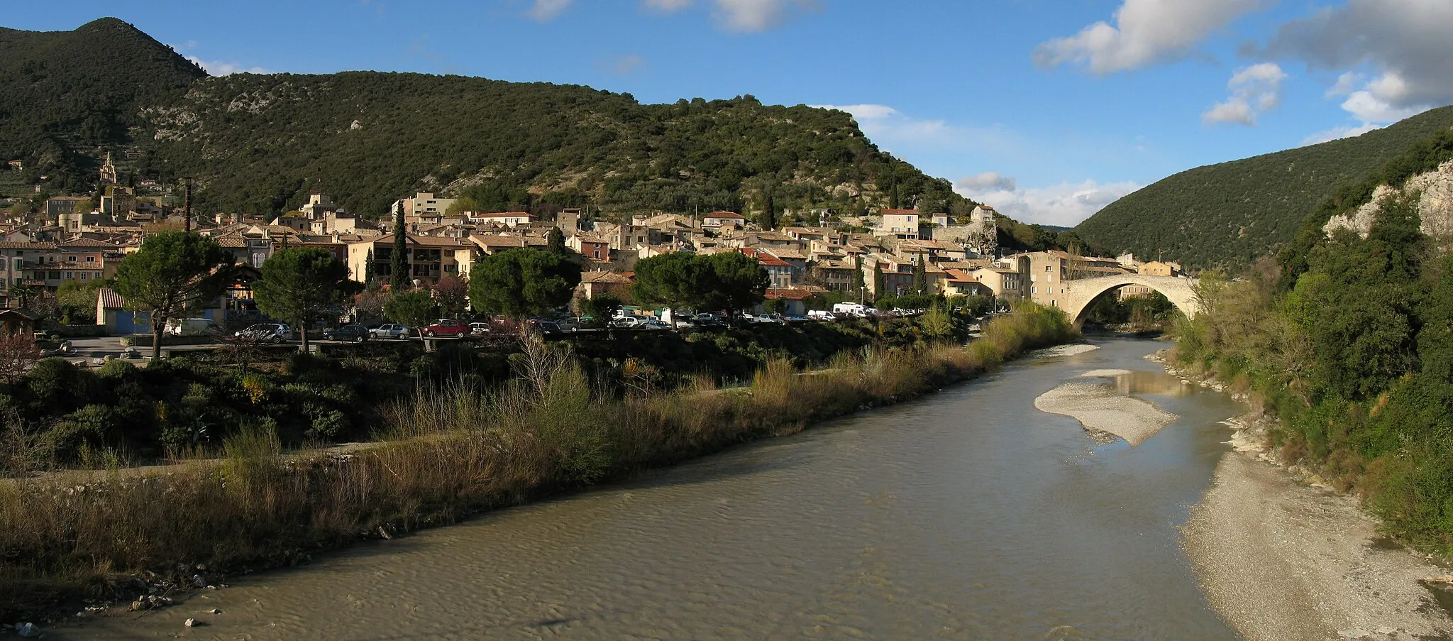
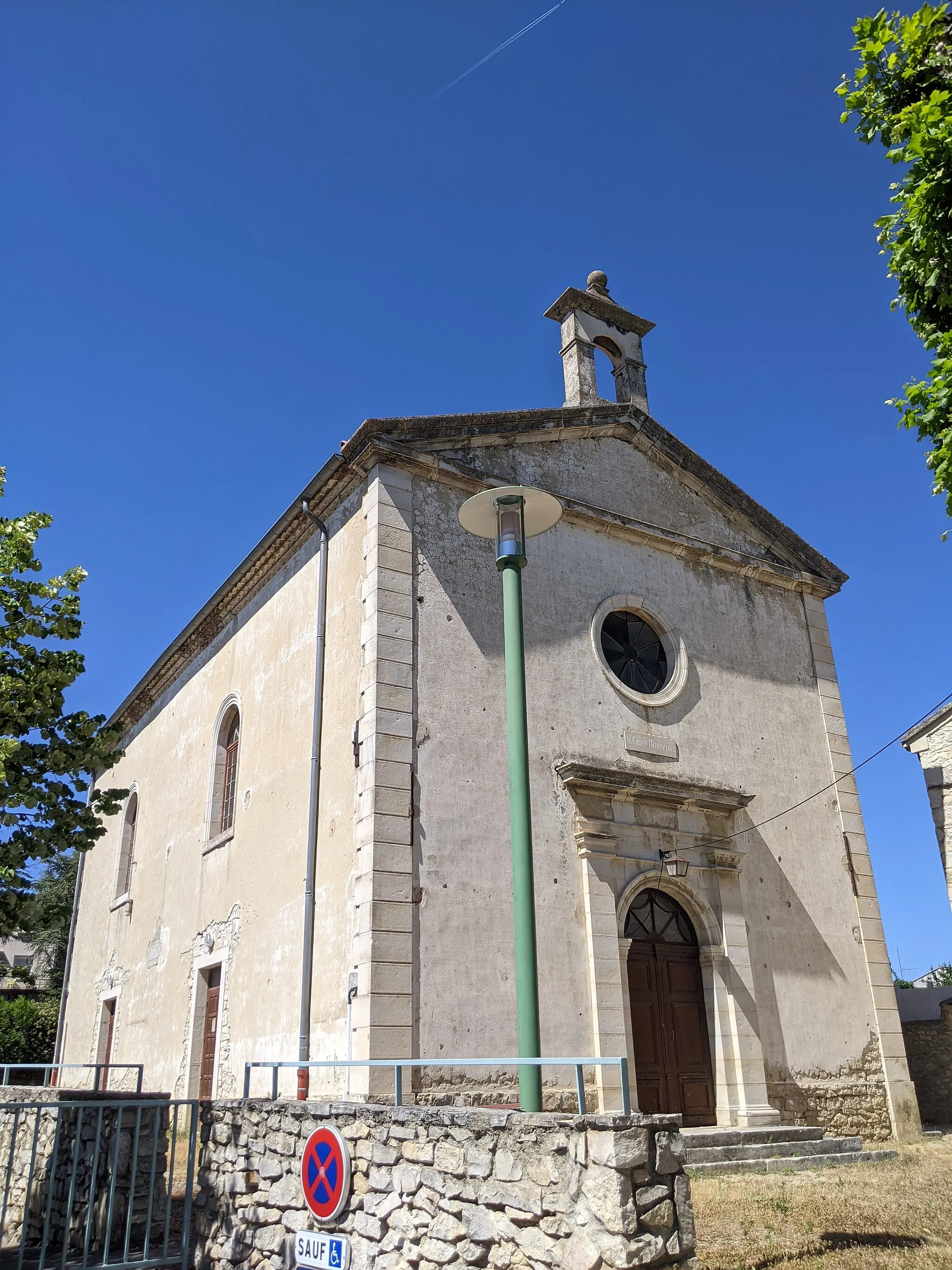
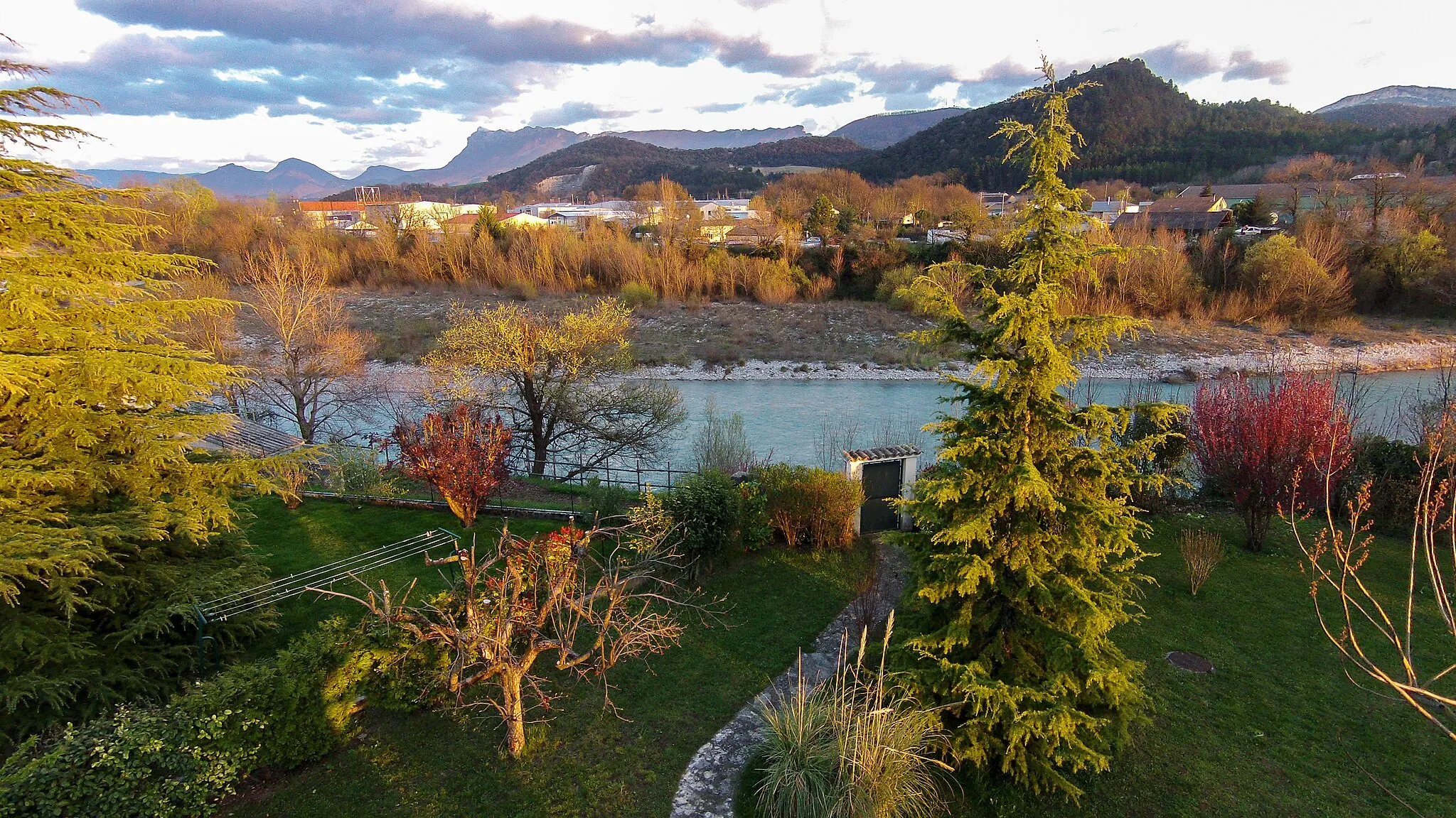
Dieulefit is a small town located in the region of Rhône-Alpes, France. From a cyclist's perspective, Dieulefit offers mainly hilly terrains, making it suitable for cyclists looking for a challenge. The town itself has a unique charm with its winding streets and historical buildings. Road cyclists can explore the nearby climbs, such as Mont Ventoux, known for its challenging ascent and beautiful views. Gravel cyclists can venture into the surrounding countryside, which offers picturesque routes through vineyards and olive groves. Overall, Dieulefit is a great destination for cyclists looking for challenging terrains and scenic landscapes.
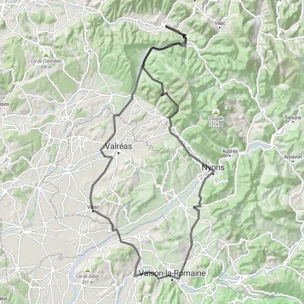
Embark on a challenging road cycling adventure through beautiful landscapes.
This road cycling route promises an exhilarating experience for well-trained amateur cyclists. The journey takes you from Dieulefit to the stunning sights of La Charousse, Rousset-les-Vignes, Col de Novezan, Rocher de l'Aiguille, Saint-Romain-en-Viennois, Visan, Roche-Saint-Secret-Béconne, Montjoux, and the Col du Serre. Prepare yourself for challenging climbs, breathtaking descents, and awe-inspiring views along the way.

Experience the stunning scenery of Rhône-Alpes while conquering challenging terrains.
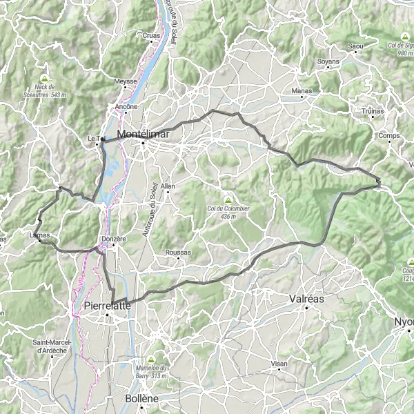
Embark on a thrilling cycling adventure starting from Dieulefit, Rhône-Alpes. This round-trip takes you through picturesque villages, breathtaking mountain passes, and scenic landscapes. The route covers a distance of 153 km and includes a total ascent of 2963 meters. It is specifically designed for road biking enthusiasts seeking a memorable and challenging experience.
Dieulefit Trail to Col du Serre

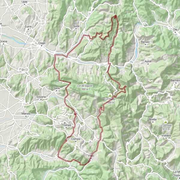
Embark on a thrilling gravel cycling adventure through rugged terrain.
For gravel enthusiasts, this adventurous route from Dieulefit to the Col du Serre is a must-try. Pedal through diverse landscapes, including the Col du Pertuis, La Charousse, Taulignan, Grand Delmas, Crupies, and Col de l'Homme. Prepare for challenging gravel stretches, rewarding climbs, and exhilarating descents. Immerse yourself in the natural beauty of the Rhône-Alpes region as you explore remote mountains, scenic valleys, and picturesque villages along the way.

Discover the scenic beauty of Valouse and Dieulefit on this road cycling tour
This road cycling route takes you on a scenic tour of Valouse and Dieulefit. With a total ascent of 1600 meters over a distance of 106 kilometers, this route offers a moderate level of difficulty suitable for experienced cyclists. Highlights along the route include the picturesque Valouse, the challenging Col de la Croix-Rouge, and the charming village of Montjoux. With its stunning mountain views and interesting highlights, this route provides a memorable cycling experience in the heart of Rhône-Alpes.
Dieulefit to Col de Valouse Loop

Discover the beautiful Col de Valouse on this scenic cycling loop near Dieulefit
This road cycling route takes you from Dieulefit to the stunning Col de Valouse. Along the way, you'll pass through charming villages such as Les Pilles, Le Pègue, and Montjoux. The route offers a moderate level of difficulty with a total ascent of 1376 meters over a distance of 80 kilometers. It is suitable for well-trained amateur cyclists looking for a challenging yet rewarding ride. Highlights along the route include the picturesque Valouse, the scenic Col de la Croix-Rouge, and the charming village of La Charousse. With its beautiful scenery and interesting highlights, this route is sure to provide an enjoyable cycling experience.
Venture into the gravel paradise and embark on an epic journey to the towering Col du Serre.
Prepare for an epic gravel cycling adventure that will challenge even the most seasoned cyclists. This route spans from Dieulefit to the mighty Col du Serre, passing through remarkable destinations like the Col du Pertuis, Le Poët-Célard, Col du Pas de Lauzun, Aouste-sur-Sye, Montclar-sur-Gervanne, Col de Gerbe, Chastel-Arnaud, La Chaudière, Le Veyou, Crupies, Col de l'Homme, and the legendary Col du Serre itself. Encounter wild and rugged landscapes, extraordinary mountain passes, and breathtaking natural beauty on this unforgettable journey.

Embark on an epic gravel adventure through the Rhône-Alpes region
This route takes you through the picturesque countryside of Dieulefit in the Rhône-Alpes region, offering a challenging yet rewarding cycling experience. With a total ascent of 2831 meters over a distance of 110 kilometers, this gravel route is designed for experienced cyclists. The route features breathtaking highlights such as the Col du Pertuis, Le Poët-Célard, Col du Pas de Lauzun, Mirabel-et-Blacons, and Beaufort-sur-Gervanne.
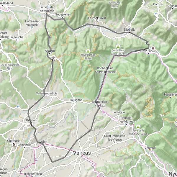
Experience the charm of Dieulefit and its surrounding villages on this leisurely road cycling route
This pleasant road cycling route allows you to discover the charming villages around Dieulefit at a leisurely pace. With a total ascent of 749 meters over a distance of 62 kilometers, this route is suitable for all levels of cyclists. Highlights along the route include the quaint village of La Charousse, the picturesque Roche-Saint-Secret-Béconne, and the peaceful village of Grillon. With its beautiful scenery, interesting highlights, and relatively low difficulty level, this route offers a pleasant cycling experience for riders of all ability levels.
Explore the charming villages and scenic landscapes on this road cycling route.
Embark on a picturesque journey through the Rhône-Alpes region, starting from Dieulefit and passing through the beautiful villages of La Charousse, Taulignan, Montagne Collet, La Garde-Adhémar, Saint-Montan, Saint-Thomé, Montélimar, Saint-Gervais-sur-Roubion, and Le Poët-Laval. Marvel at the stunning countryside views and enjoy the peaceful surroundings as you pedal along. This moderate-level route offers a satisfying challenge for experienced amateur cyclists.
Experience the scenic beauty surrounding Dieulefit on this leisurely road cycling route
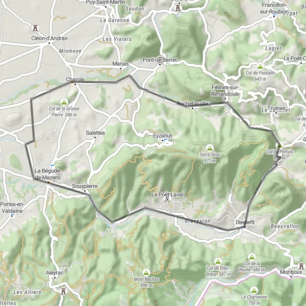
This short road cycling route allows you to explore the natural beauty surrounding Dieulefit at a leisurely pace. With a total ascent of 522 meters over a distance of 39 kilometers, this route is suitable for all levels of cyclists. Highlights along the route include the charming village of La Bégude-de-Mazenc, the scenic Col de la Grosse Pierre, and the peaceful village of Charols. With its beautiful countryside, quaint villages, and relatively low difficulty level, this route offers a pleasant cycling experience for all riders.
Cycling routes nearby:

Nearby regions: