Cycling paradise with challenging climbs in the Rhône-Alpes region.
Cycling routes from Estrablin
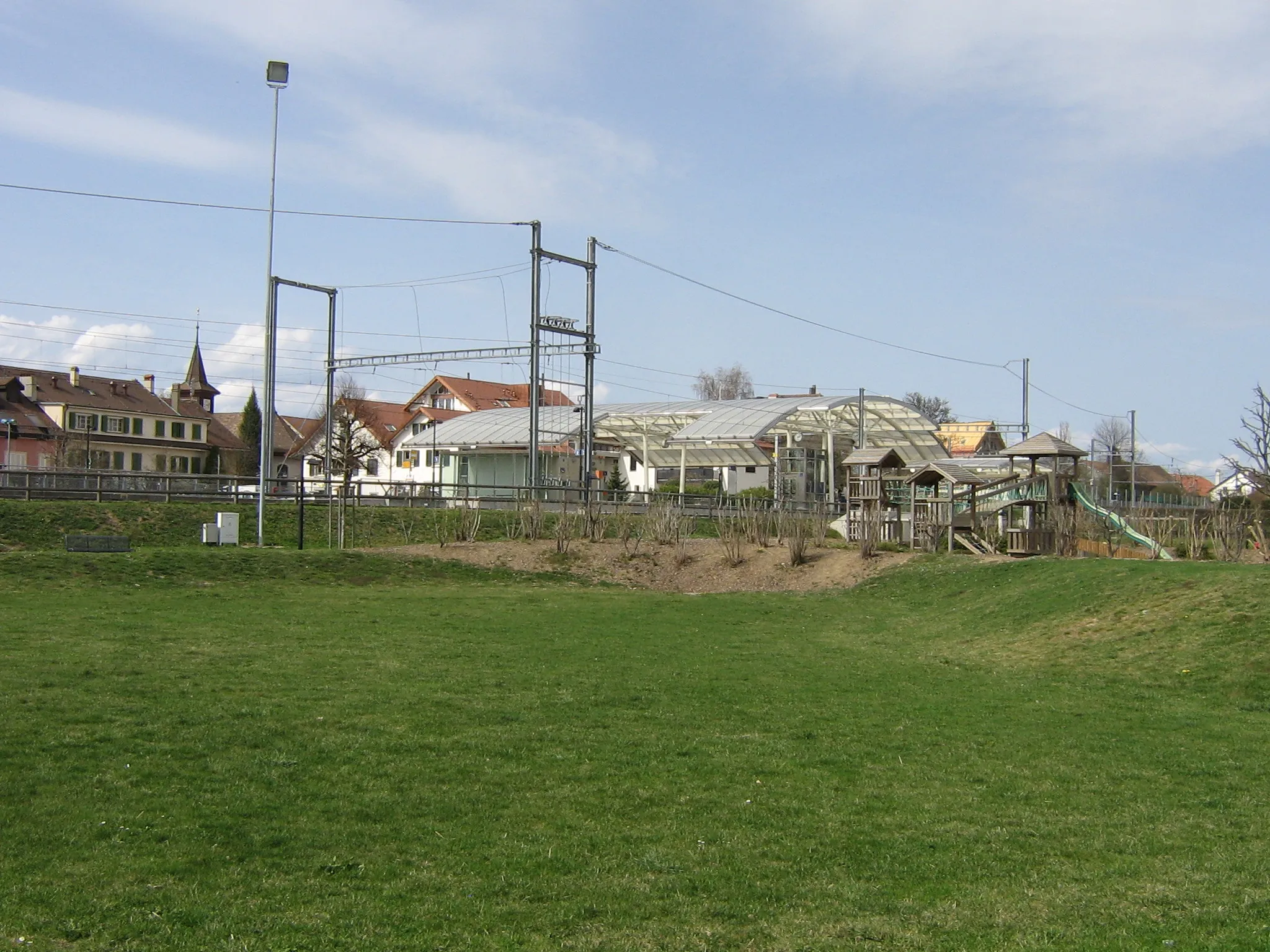
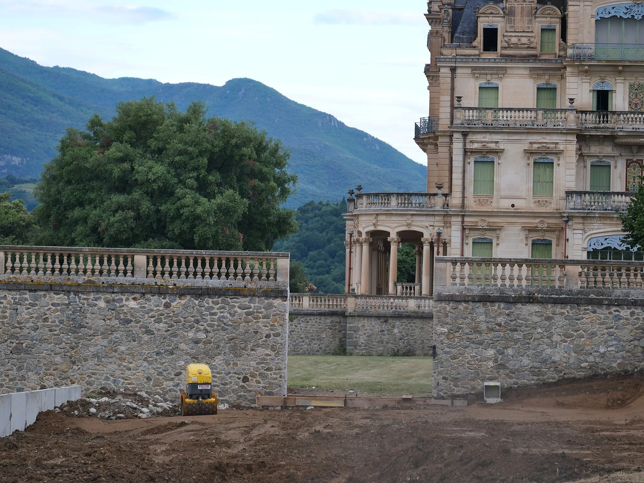
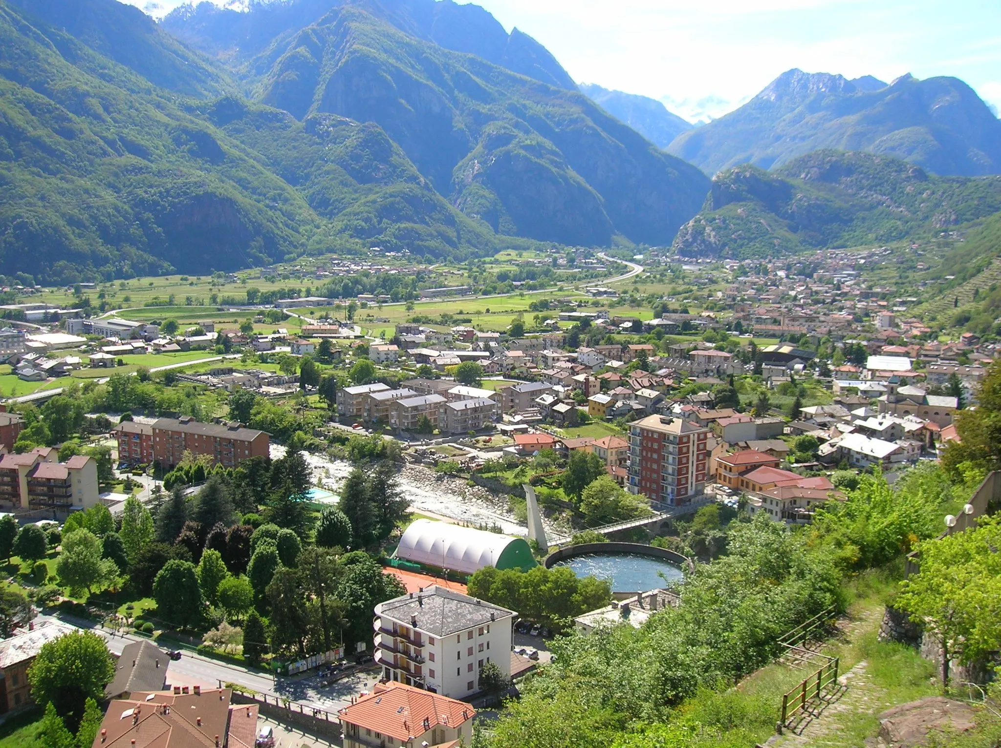
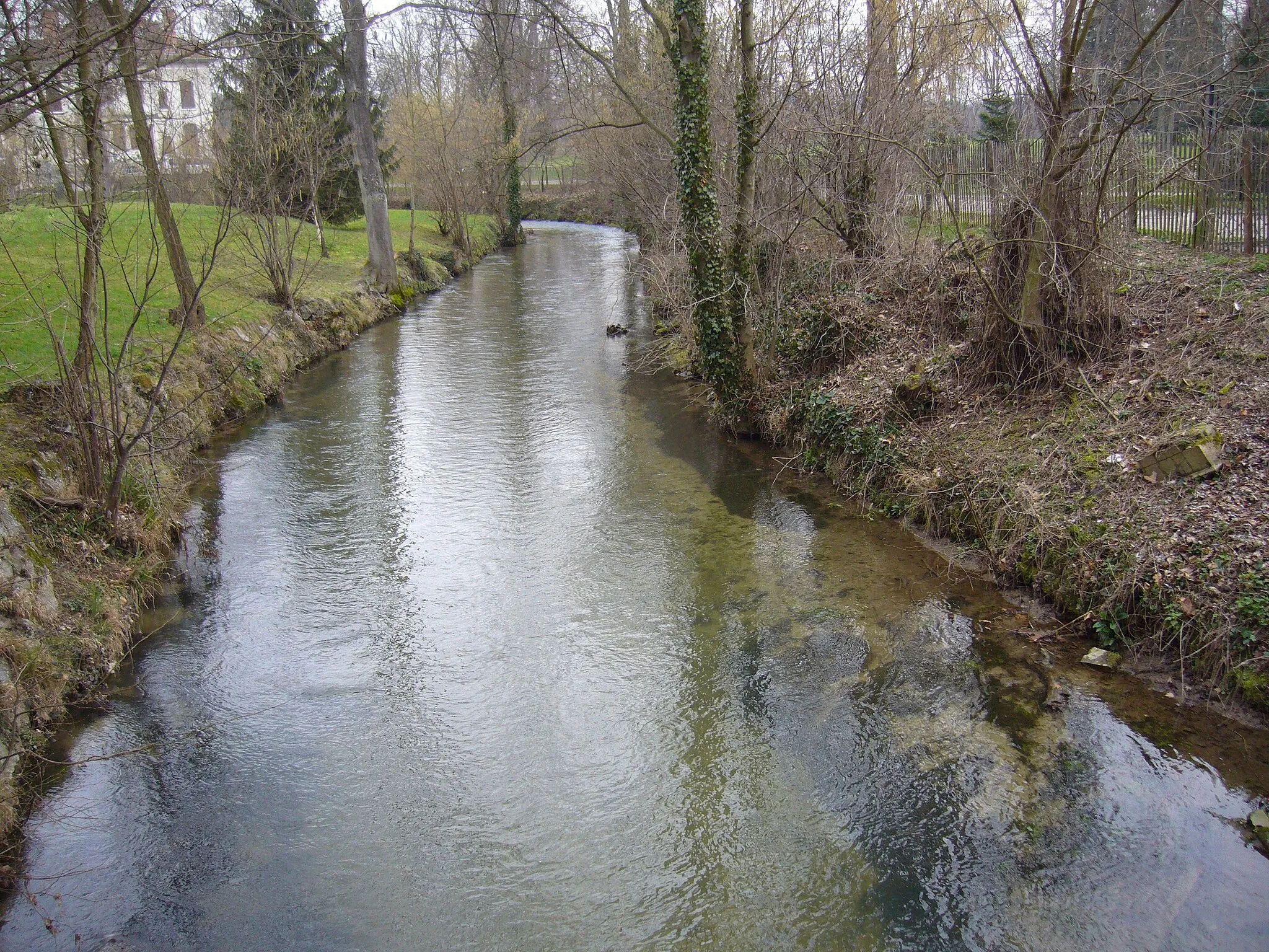
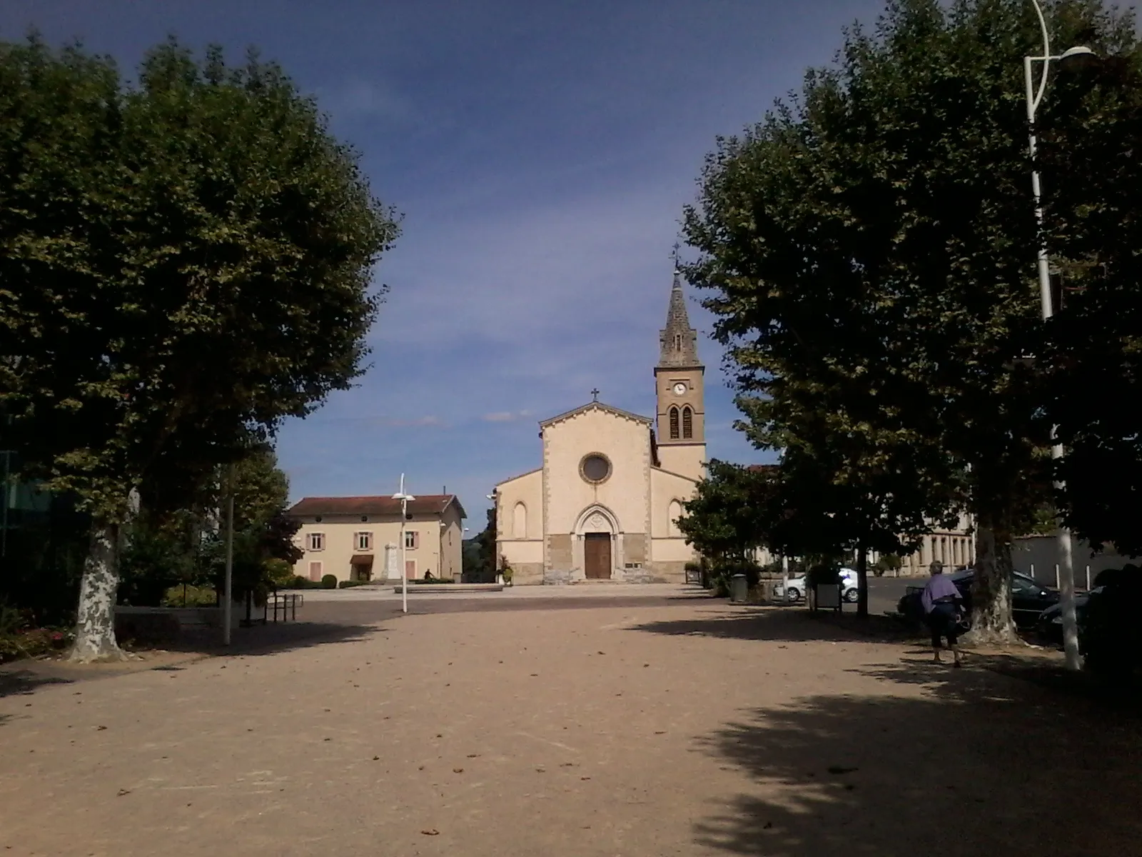
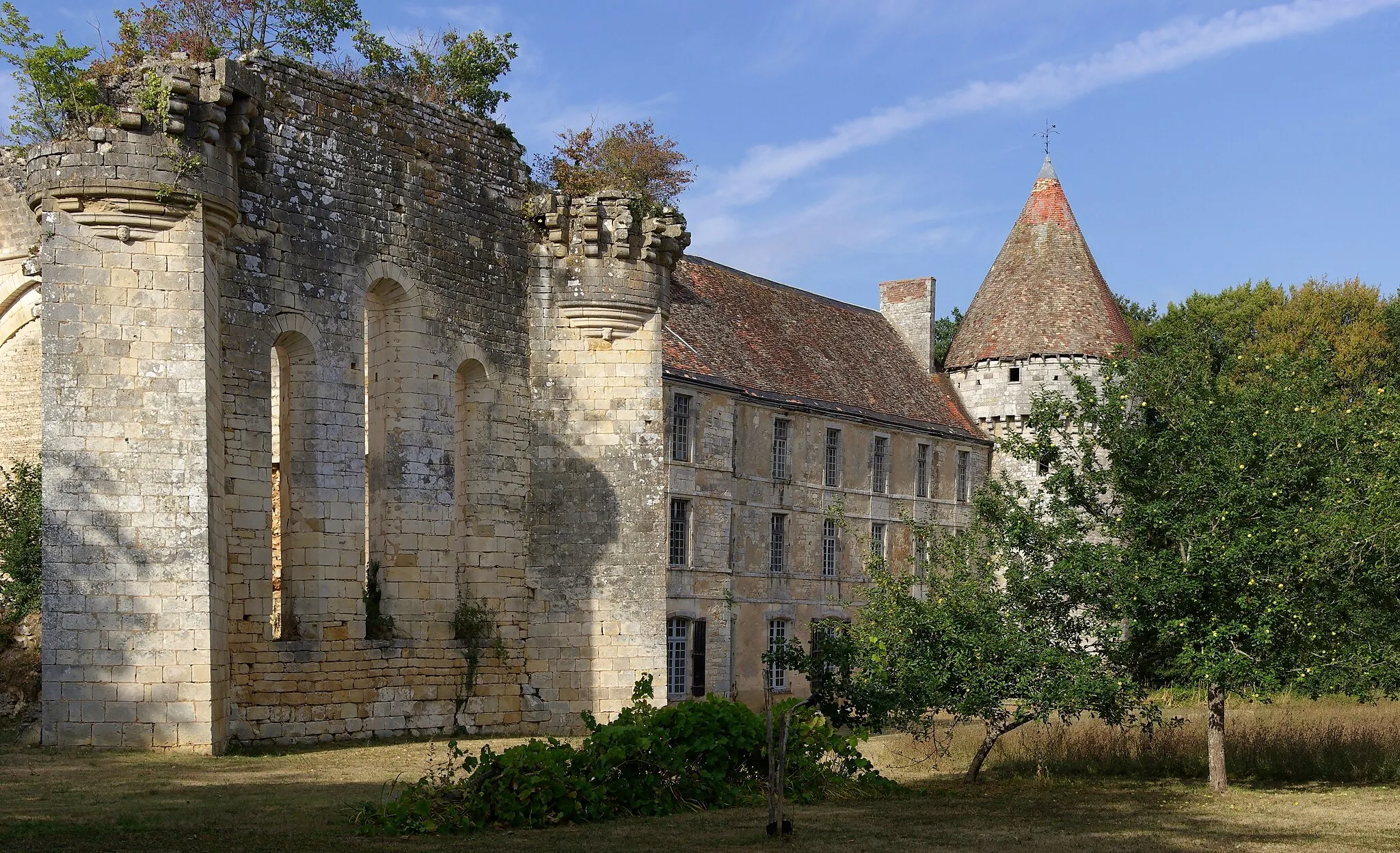
Estrablin, located in the Rhône-Alpes region of France, is a cyclist's dream with its well-maintained roads and idyllic countryside. The locality offers a variety of cycling routes suitable for both road and gravel cyclists. The rolling hills and vineyards create a picturesque backdrop for your rides. There are several well-known climbs in the area, including the Col du Grand Cucheron and the Col du Cucheron. These climbs provide a challenging test for more experienced cyclists. With its cyclist-friendly infrastructure and stunning scenery, Estrablin is a must-visit destination for cycling enthusiasts.
Explore the historical city of Vienne
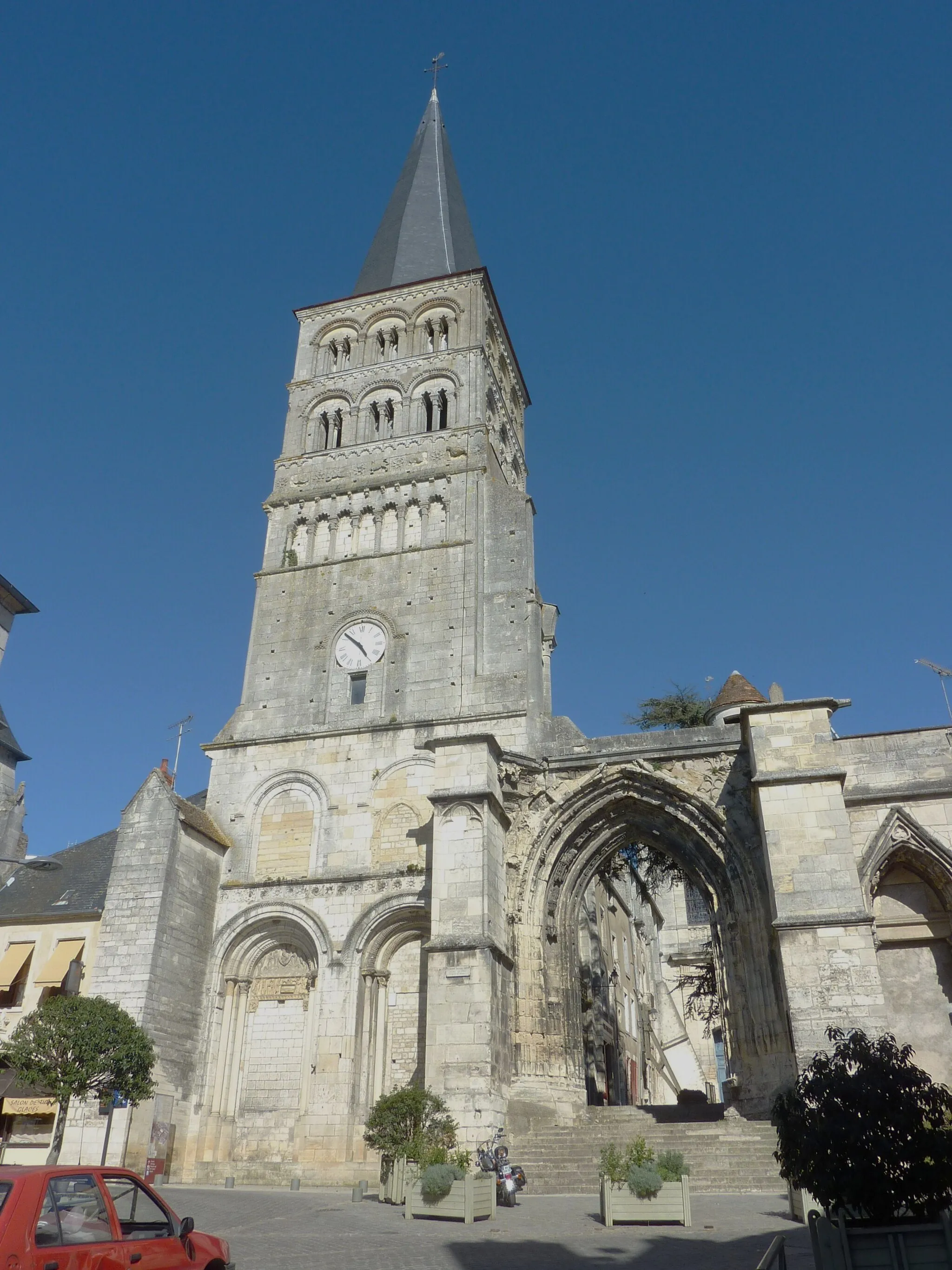
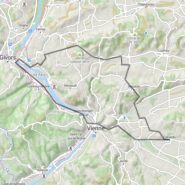
Embark on a 42-kilometer road route that takes you through the scenic countryside to the historic city of Vienne. With a moderate difficulty level and an ascent of 365 meters, this route is suitable for amateur cyclists. One of the highlights of this route is the Belvédère de Pipet, offering stunning views of the area. Scored at 4, it is definitely worth a stop.
Enjoy the idyllic countryside landscapes on this road cycling route
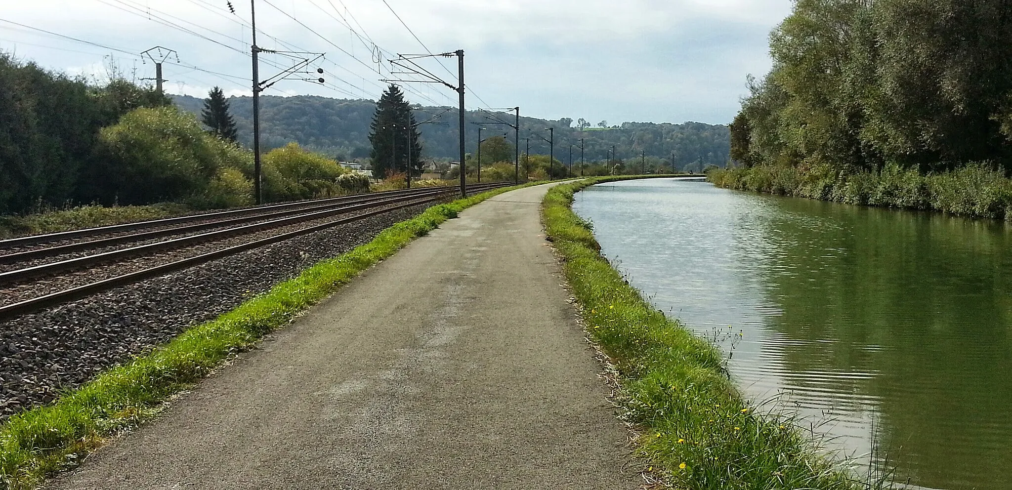
Embark on a scenic road cycling adventure through the rural landscapes of Rhône-Alpes. With a moderate ascent of 835 meters and a distance of 70 kilometers, this route is suitable for intermediate cyclists looking to enjoy the peaceful beauty of the region. Highlights along the route include Savas-Mépin, Ornacieux-Balbins, Marcilloles, Primarette, Cour-et-Buis, and Eyzin.
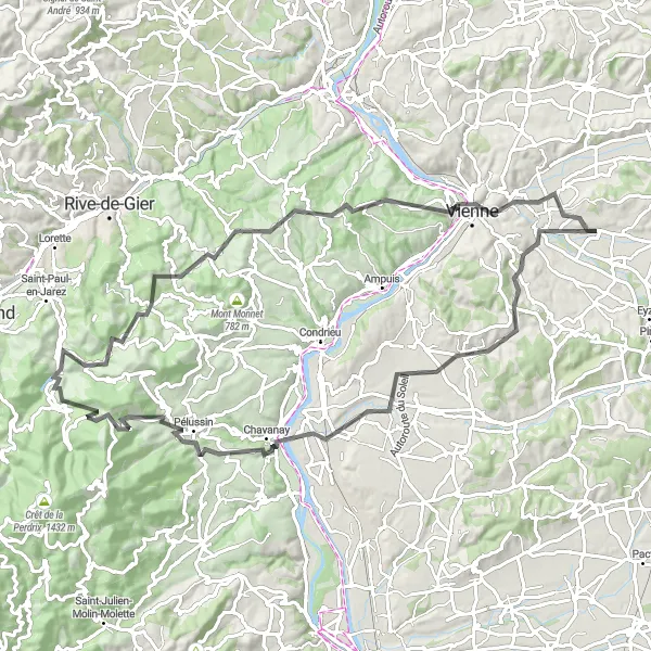
Experience the beauty of nature on this challenging road cycling route
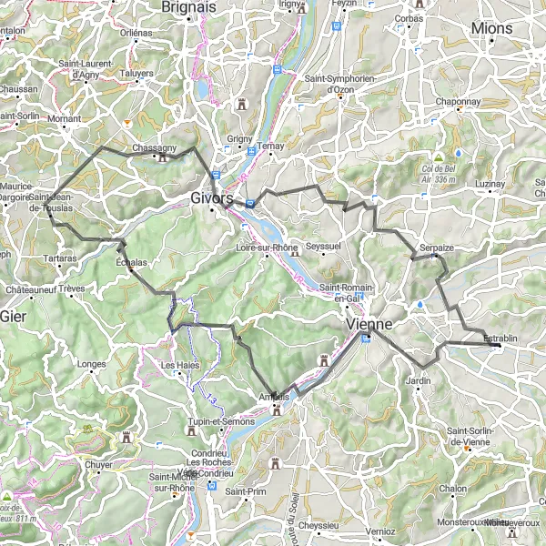
Embark on a challenging road cycling adventure starting near Estrablin and be prepared to be amazed by the stunning natural landscapes on the way. With a challenging ascent of 1739 meters and a distance of 93 kilometers, this route is recommended for experienced cyclists seeking a more intense challenge. Highlights along the route include Les Côtes-d'Arey, Chavanay, Pélussin, Doizieux, La-Croix-du-Mazet, Longes, Vienne, and the renowned Belvédère de Pipet.
The Rural Gravel Exploration
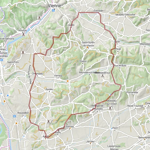
Uncover the hidden gems of rural Rhône-Alpes
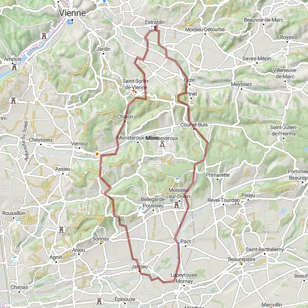
Embark on a 63-kilometer gravel adventure through the rural landscapes of Rhône-Alpes. With an ascent of 925 meters, this route is suitable for experienced gravel cyclists. The difficulty level is moderate to high, providing a challenge for riders. Explore the picturesque countryside, discover charming villages, and enjoy the tranquility of nature. Highlights include the town of Bellegarde-Poussieu, known for its beautiful views, and the Table d'orientation, offering panoramic vistas of the surrounding area.
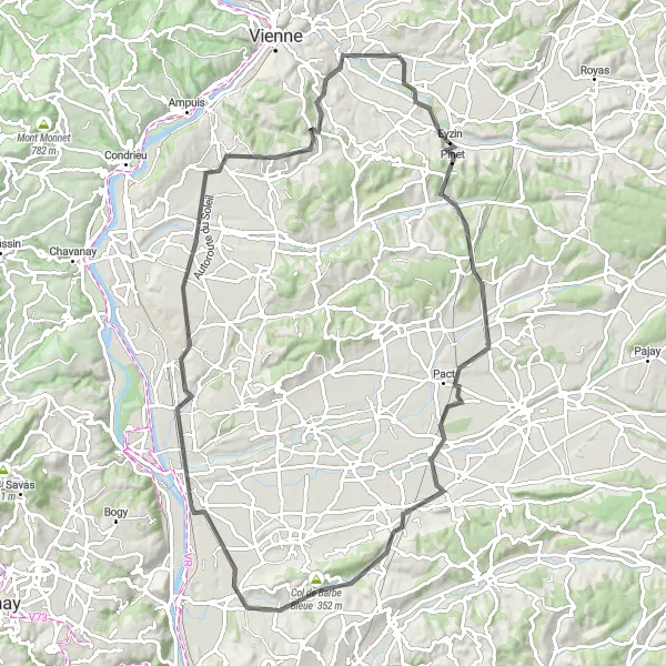
Take on challenging climbs and enjoy magnificent landscapes on this road cycling route
Challenge yourself with the steep ascents and thrilling descents on this road cycling route starting near Estrablin. With an ascent of 846 meters and a distance of 89 kilometers, this route is suitable for cyclists seeking both physical and scenic challenges. Highlights along the route include Lapeyrouse-Mornay, Col de Barbe Bleue, Chanas, Auberives-sur-Varèze, and Les Côtes-d'Arey.
Enjoy picturesque views on this scenic gravel route
Discover the beauty of the Estrablin region with this 83-kilometer scenic gravel route. With an ascent of 1024 meters, this route is suitable for experienced gravel cyclists. The difficulty level is high, providing a challenge for riders. Ride through rolling hills, enjoy breathtaking views, and soak in the serenity of the surroundings. Highlights include Beauvoir-de-Marc, Flachères, and Meyssiez, all offering unique perspectives of the region.
The Rhône Valley Circuit
Ride through picturesque Rhône Valley
Experience the beauty of the Rhône Valley as you cycle through this scenic circuit. With a total distance of 78 kilometers and an ascent of 1130 meters, this road route takes you through stunning landscapes and charming towns. The difficulty level is moderate, suitable for well-trained amateur cyclists. The highlight of this route is the Belvédère de Pipet, where you can enjoy panoramic views of the surrounding countryside. Rated at a score of 4, it is definitely worth a stop.
Picturesque countryside and historic villages along the route
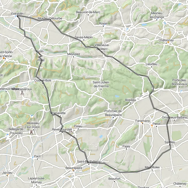
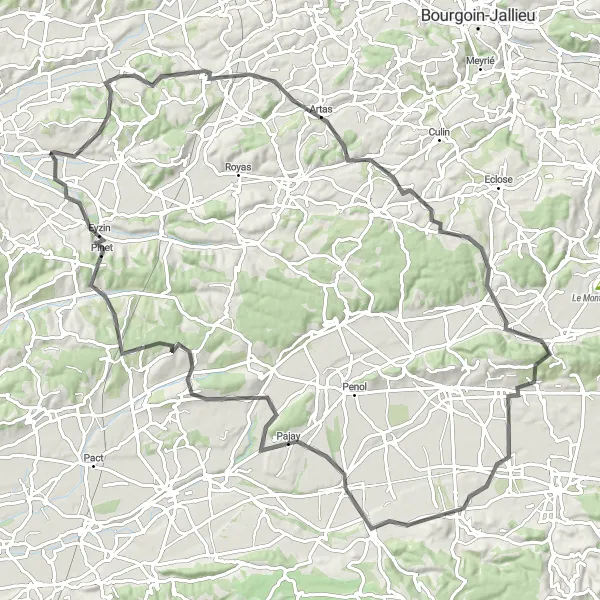
Embark on an incredible road cycling adventure starting near Estrablin in Rhône-Alpes, France. This scenic route offers breathtaking views of the countryside and takes you through charming historic villages. The overall cycling experience is challenging but rewarding, perfect for well-trained amateurs looking for a thrilling ride. With a distance of 104 km and an ascent of 1200 m, this route promises a memorable cycling experience. Take a break at various highlights along the way, such as Saint-Georges-d'Espéranche, Champier, Bressieux, Pajay, and Cour-et-Buis, each offering unique attractions that add to the charm of this cycling route.
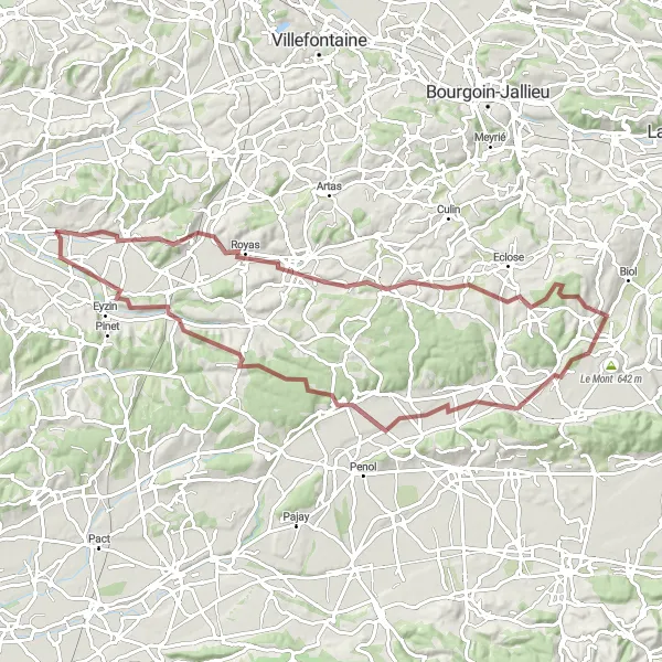
Uncover hidden gems on this gravel cycling route near Estrablin
Get off the beaten path and uncover hidden gems on this gravel cycling route starting near Estrablin. With a moderate ascent of 916 meters and a distance of 59 kilometers, this route is perfect for adventure-seeking cyclists looking to explore off-road trails. Highlights along the route include Cour-et-Buis, Pact, La Chapelle-de-Surieu, and Chalon.
Explore picturesque towns and enjoy the scenic Pipet Belvedere
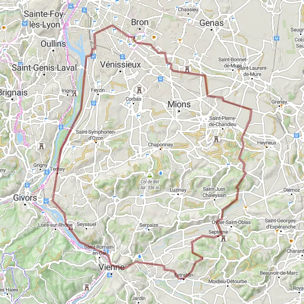
This round-trip gravel cycling route starting near Estrablin takes you through charming historic towns such as Chasse-sur-Rhône and Saint-Fons. The highlight of the route is the beautiful Pipet Belvedere, offering breathtaking views of the surrounding countryside. With a moderate ascent of 604 meters and a distance of 79 kilometers, this route is suitable for cyclists of intermediate skill levels.
Cycling routes nearby:


Nearby regions: