The Rural Gravel Exploration
A gravel cycling route starting from Estrablin
Uncover the hidden gems of rural Rhône-Alpes
Map
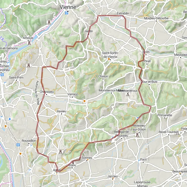
Embark on a 63-kilometer gravel adventure through the rural landscapes of Rhône-Alpes. With an ascent of 925 meters, this route is suitable for experienced gravel cyclists. The difficulty level is moderate to high, providing a challenge for riders. Explore the picturesque countryside, discover charming villages, and enjoy the tranquility of nature. Highlights include the town of Bellegarde-Poussieu, known for its beautiful views, and the Table d'orientation, offering panoramic vistas of the surrounding area.
gravel
63 km
925 m
Tough
Route profile
Highlights on the route
0 km
0 km
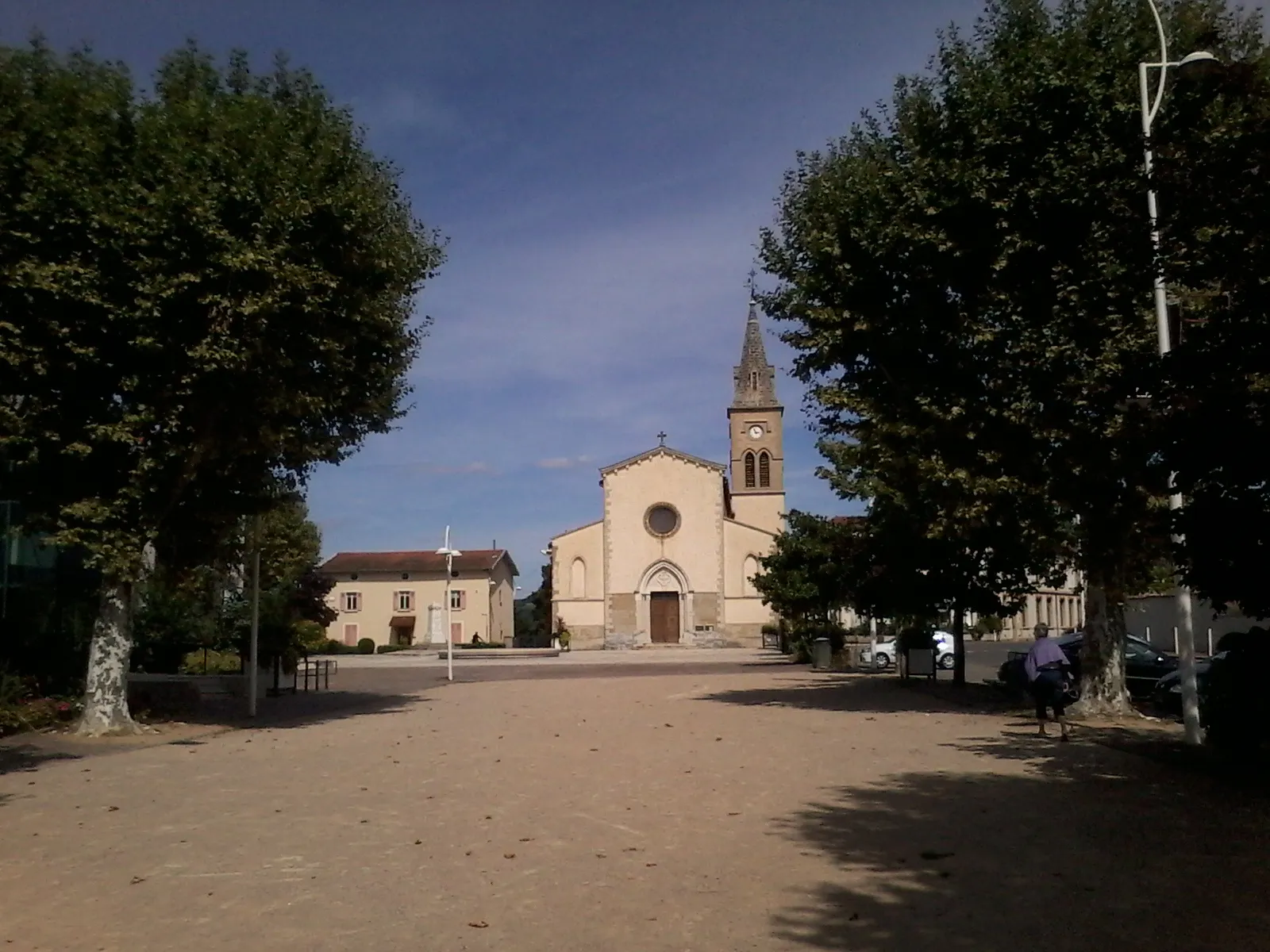
Start: Estrablin Village centerEstrablin: Cycling paradise with challenging climbs in the Rhône-Alpes region.
Estrablin, located in the Rhône-Alpes region of France, is a cyclist's dream with its well-maintained roads and idyllic countryside. The locality offers a variety of cycling routes suitable for both road and gravel cyclists. The rolling hills and vineyards create a picturesque backdrop for your rides. There are several well-known climbs in the area, including the Col du Grand Cucheron and the Col du Cucheron. These climbs provide a challenging test for more experienced cyclists. With its cyclist-friendly infrastructure and stunning scenery, Estrablin is a must-visit destination for cycling enthusiasts.0 km
0 km
EstrablinVillageStart your journey in Estrablin, a small village with a rich history.
21 km
21 km
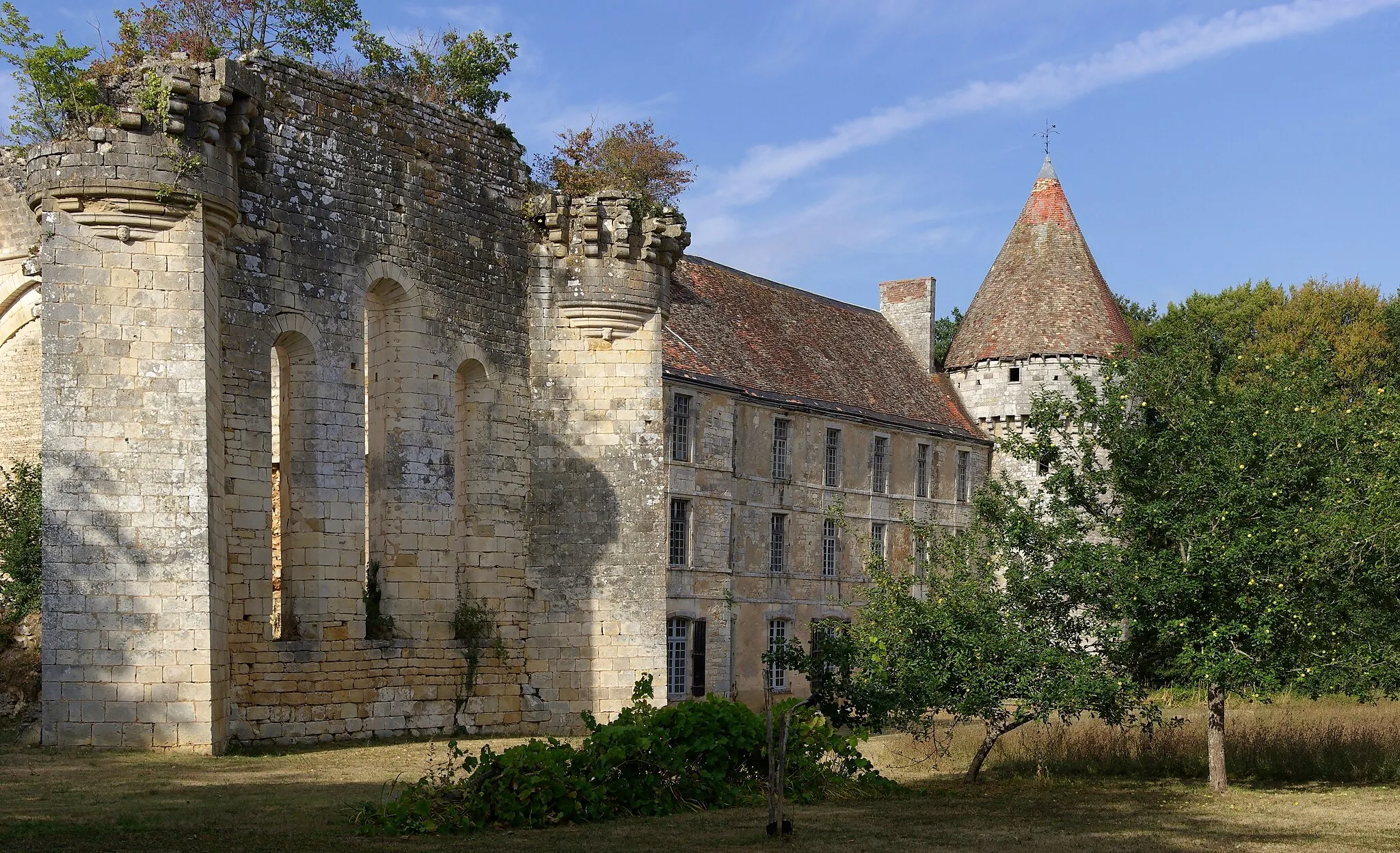
Bellegarde-PoussieuVillageBellegarde-Poussieu offers stunning views of the rural landscapes, perfect for a photo stop.
29 km
29 km
Table d'orientationViewpointTable d'orientation provides panoramic vistas of the surrounding countryside and distant mountains.
31 km
31 km
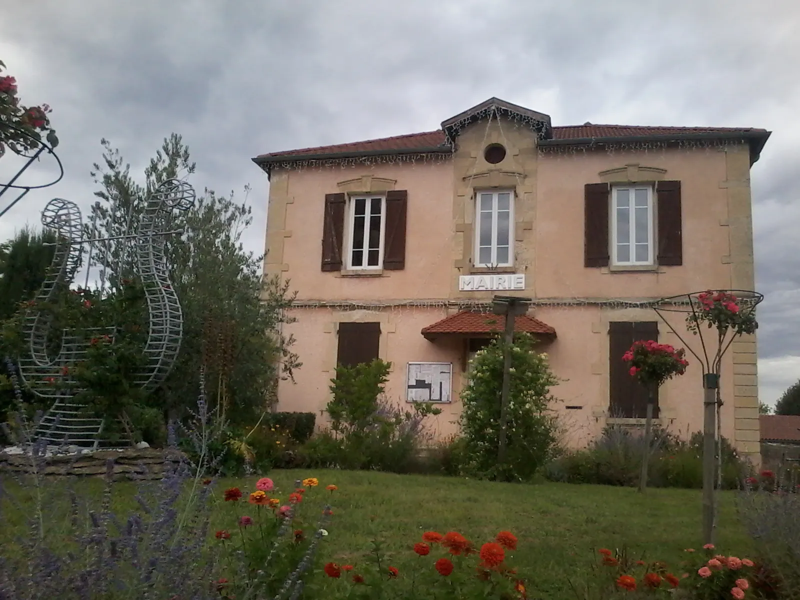
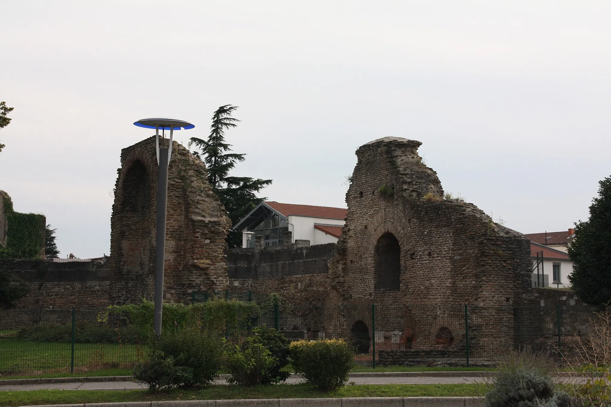
AgninVillageAgnin is a charming village with well-preserved traditional houses and a welcoming atmosphere.
50 km
50 km
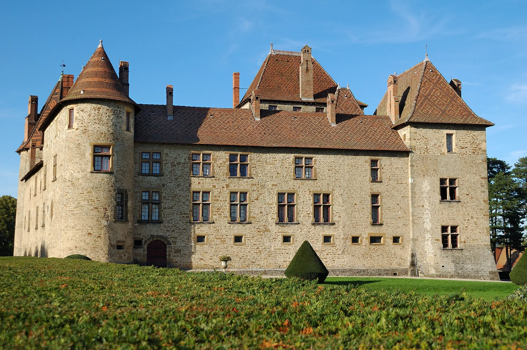
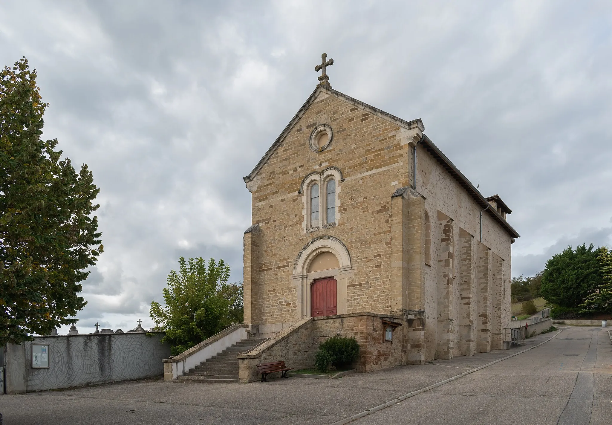
Les Côtes-d'AreyVillageMake sure to visit Les Côtes-d'Arey, a quaint village with a rich history and beautiful architecture.
63 km
63 km
Finish: Estrablin Village centerEstrablin: Cycling paradise with challenging climbs in the Rhône-Alpes region.
Cycling routes from Estrablin:
The Rhône Valley Circuit The Vienne Loop Estrablin Gravel Adventure The Scenic Tour de Estrablin Cycling through Natural Beauty Hidden Gems of Gravel Cycling The Rural Gravel Exploration Scenic Road Cycling in Rural Rhône-Alpes Challenging Climbs and Scenic Landscapes Pipet Belvedere and Historic Towns Estrablin Epic Road Cycling Route
Cycling routes nearby: