The Groisy Loop
A road cycling route starting from Etrembieres
Experience the beauty of the region on this scenic road cycling route starting near Étrembières
Map

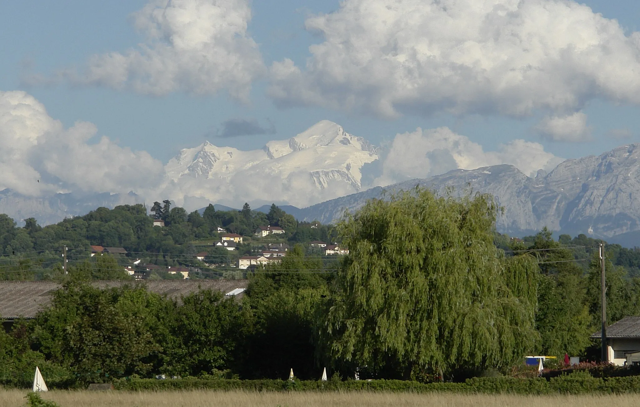
The Groisy Loop is a scenic road cycling route that starts near Étrembières. With a total ascent of 981m and a distance of 58km, this route offers a moderate challenge for well-trained amateur cyclists. It takes riders through picturesque villages and offers stunning views of the surrounding countryside. The highlight of this route is the historic Château de Groisy.
road
58 km
981 m
Tough
Route profile
Highlights on the route
0 km
0 km
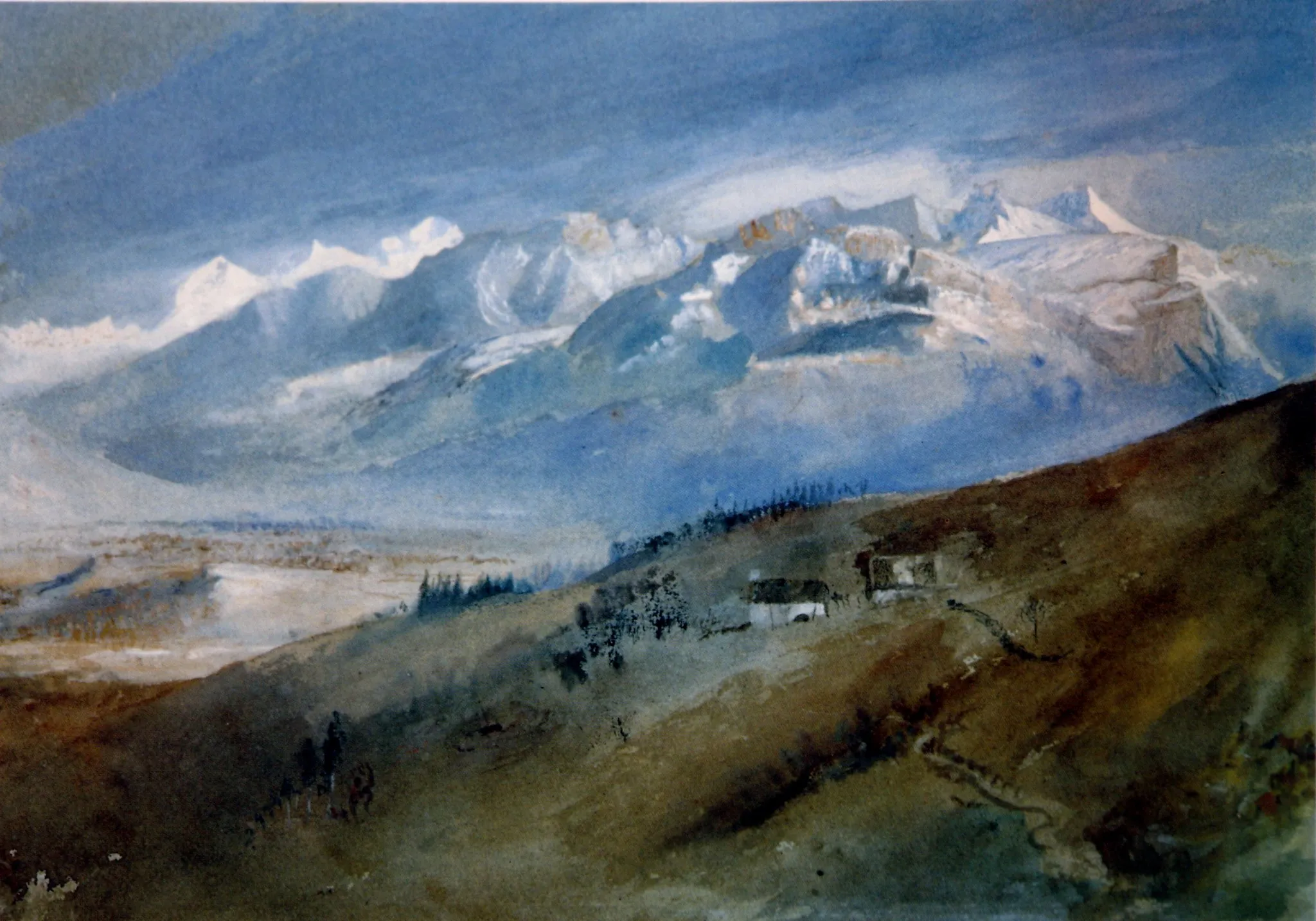
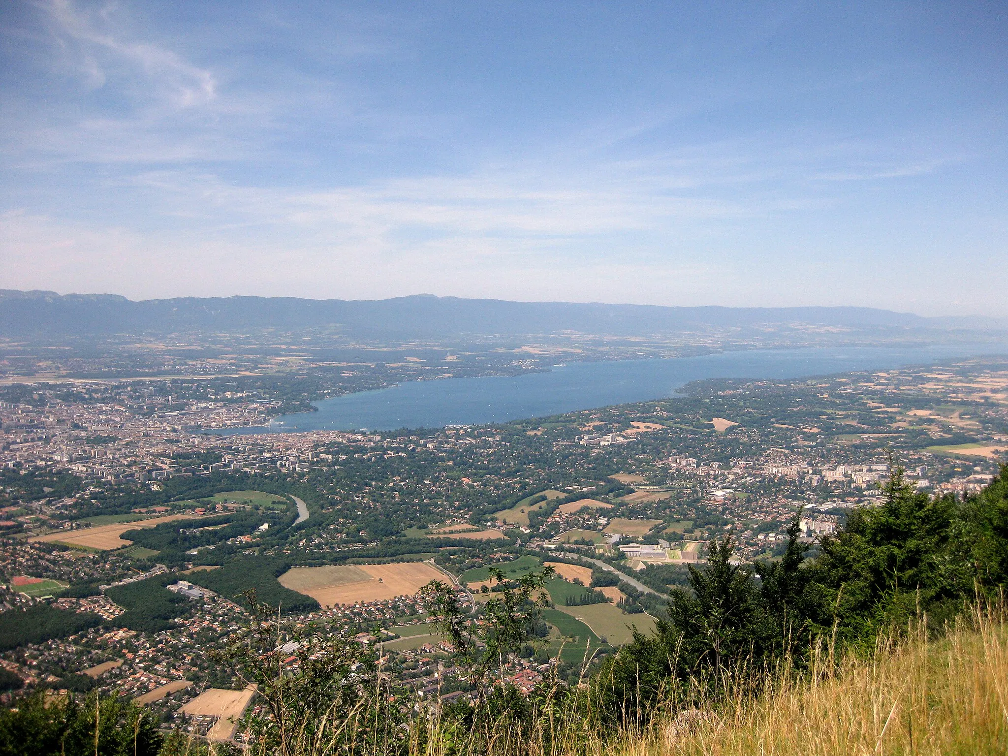
Start: Étrembières Village centerÉtrembières: Cycling Paradise near Lake Geneva
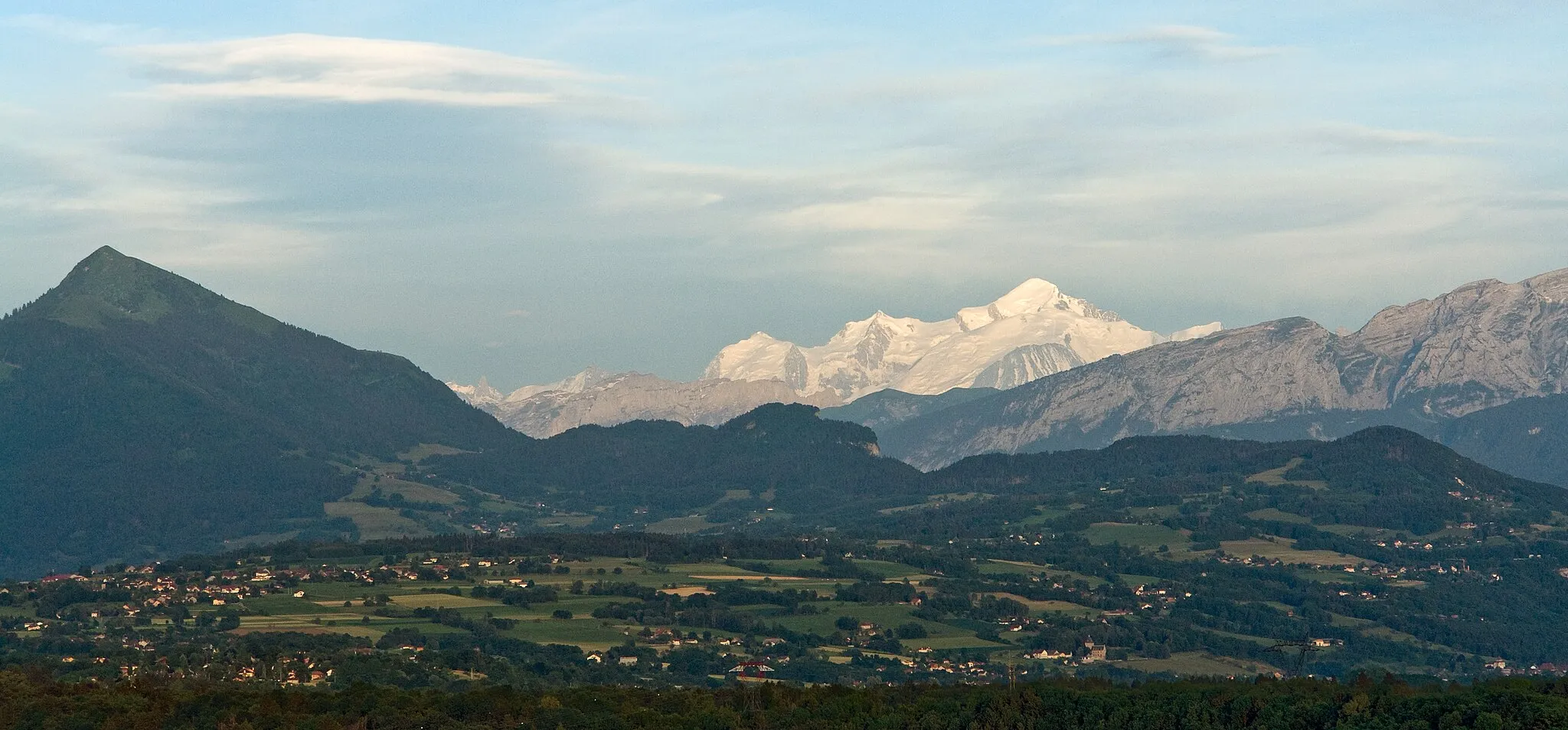
Étrembières is a locality situated in the Rhône-Alpes region of France. From a cyclist's perspective, Étrembières offers a mix of challenging climbs and scenic routes. The region is known for its beautiful landscapes, including stunning views of Lake Geneva. Local cycling enthusiasts can take on well-known climbs like the Col de la Colombière and the Col de Joux Plane, which are in close proximity to Étrembières. With plenty of cycling-friendly roads and routes, this area is a great destination for road and gravel cyclists. The varied terrain and picturesque surroundings make Étrembières a popular choice for cycling tourists.2 km
2 km
Mont Gosse628 mPeak7 km
7 km
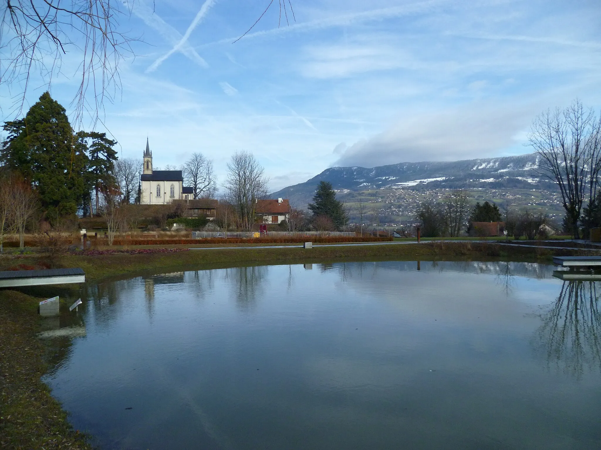
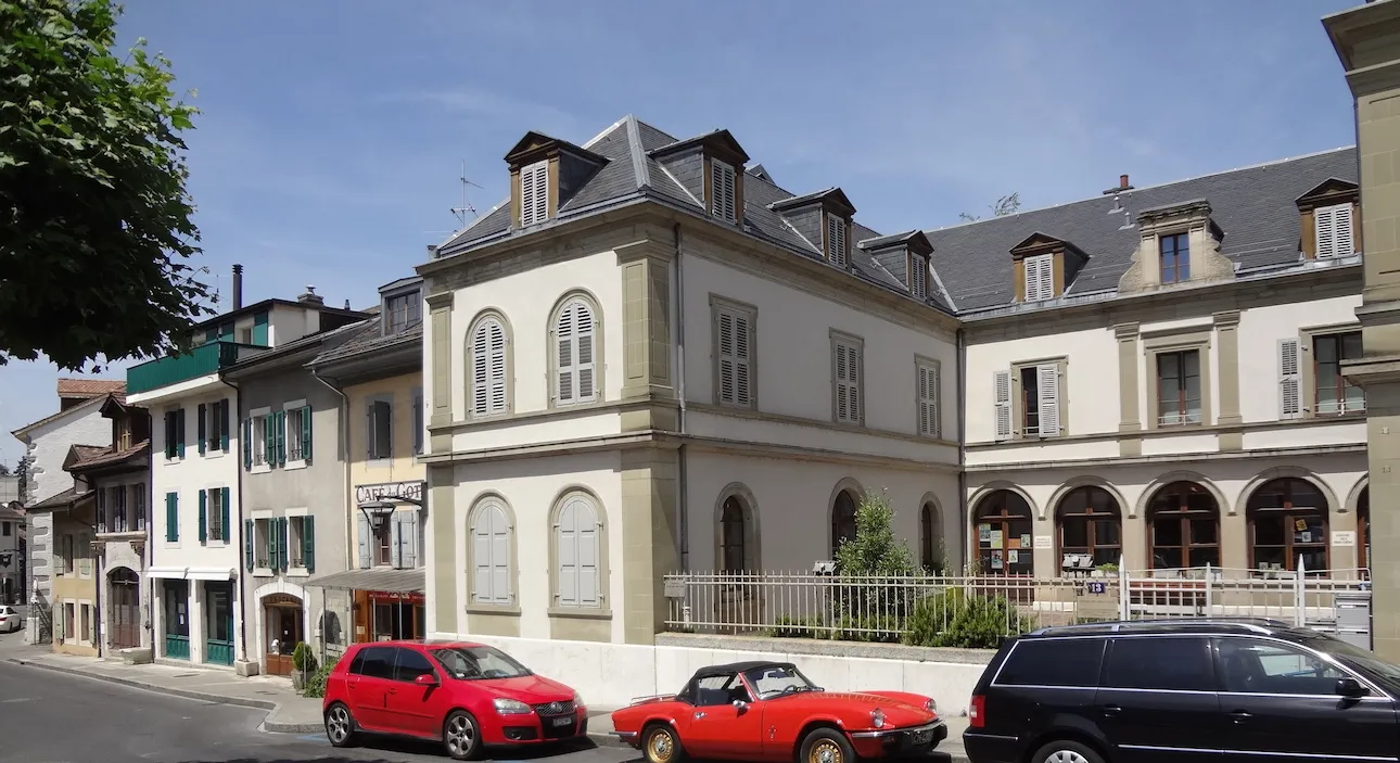
La MurazVillageLa Muraz is a charming village located on a hilltop, offering panoramic views of the surrounding countryside.
26 km
26 km
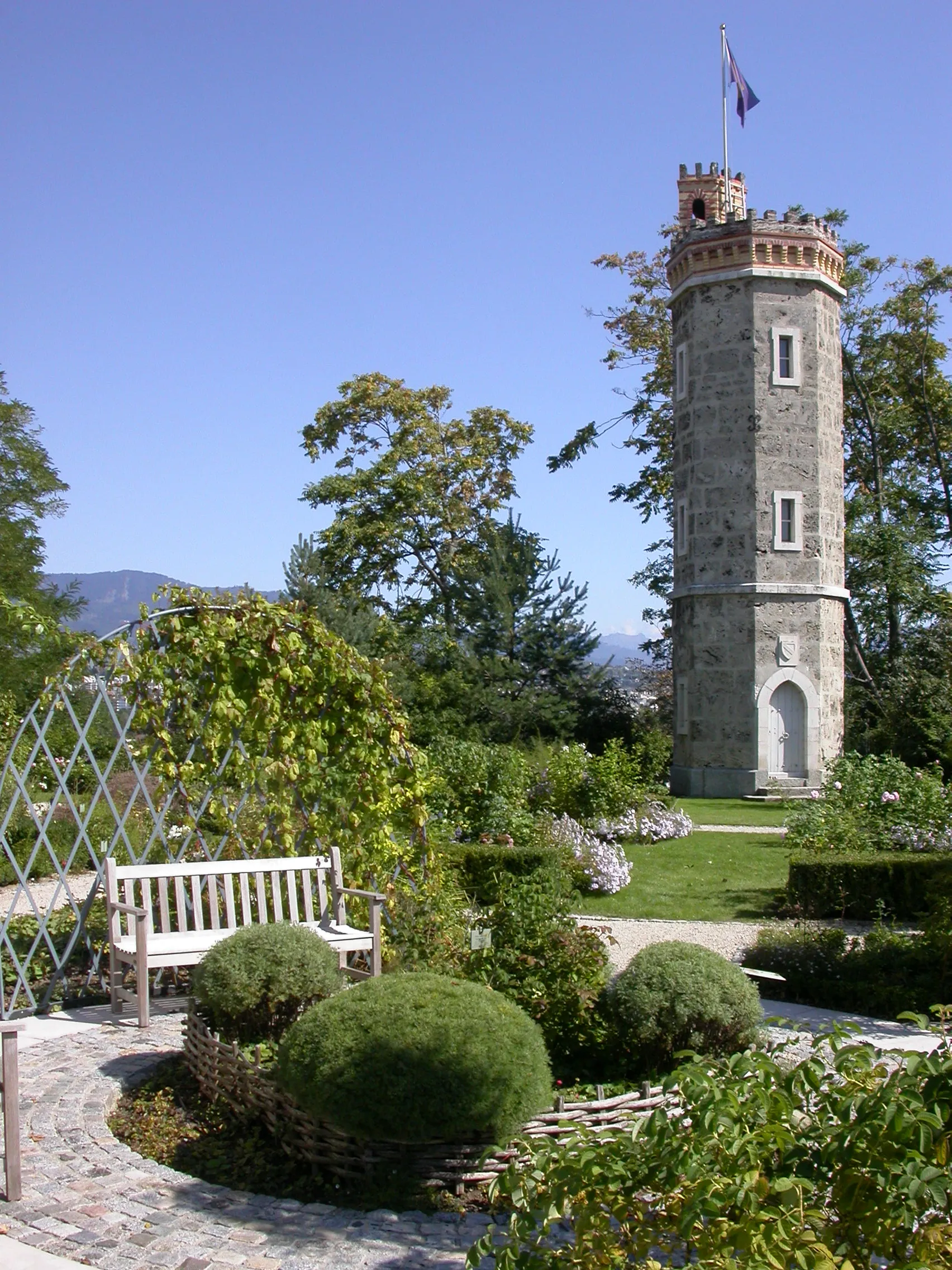
Château de GroisyCastleChâteau de Groisy is a well-preserved medieval castle with a rich history and stunning architecture.
35 km
35 km
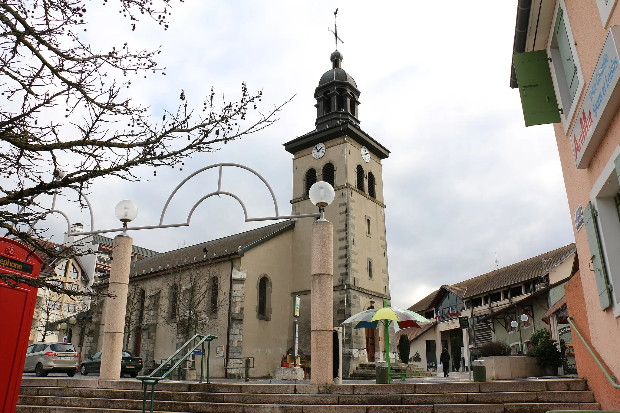
CruseillesVillageCruseilles is a picturesque village known for its traditional architecture and beautiful countryside.
41 km
41 km
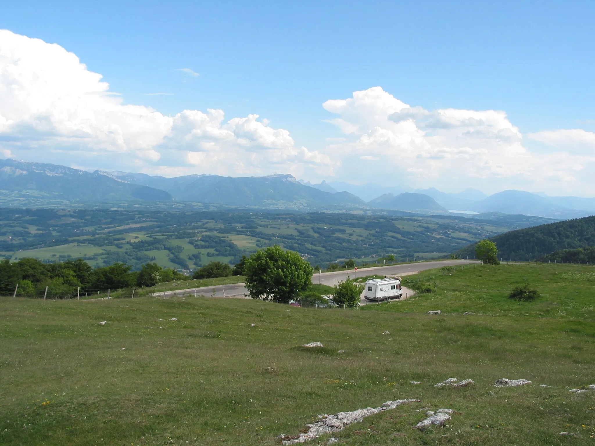
Col du Mont Sion786 mMountain PassCol du Mont Sion is a popular cycling spot with a challenging climb and scenic views.
56 km
56 km
Petit Salève899 mPeakPetit Salève is a mountain located near Étrembières, offering stunning views of the surrounding region.
58 km
58 km
ÉtrembièresVillageÉtrembières is a historic village with medieval buildings and charming streets.
58 km
58 km
Finish: Étrembières Village centerÉtrembières: Cycling Paradise near Lake Geneva
Cycling routes nearby: