Bossey to La pointe de la Jonction
A gravel cycling route starting from Gaillard
A thrilling gravel route with scenic views and a unique natural landmark.
Map

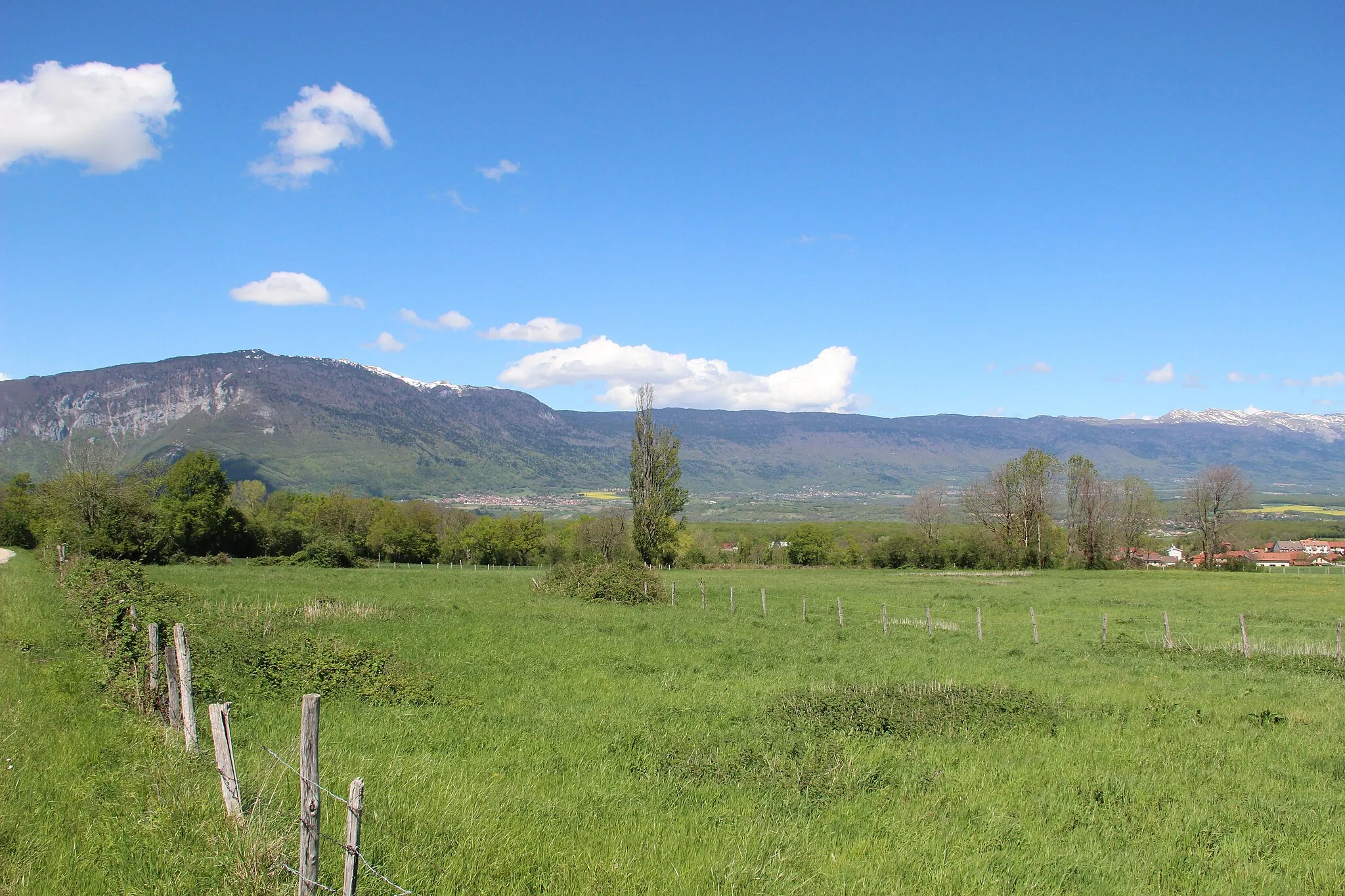
This gravel cycling route takes you from Bossey to La pointe de la Jonction, offering a thrilling off-road adventure with scenic views. With a total distance of 70 kilometers and an ascent of 949 meters, it is a challenging but manageable ride suitable for gravel bike enthusiasts. The route passes through highlights such as Dingy-en-Vuache and Valleiry, providing opportunities to discover these hidden gems along the way. The highlight of the route is La pointe de la Jonction, where the Arve and Rhône rivers meet in a spectacular confluence. Overall, this route offers a mix of gravel riding, stunning landscapes, and a chance to witness a natural wonder.
gravel
70 km
949 m
Tough
Route profile
Highlights on the route
0 km
0 km
Start: Gaillard City centerGaillard: Gaillard: Discovering the natural beauty of Rhône-Alpes on two wheels.
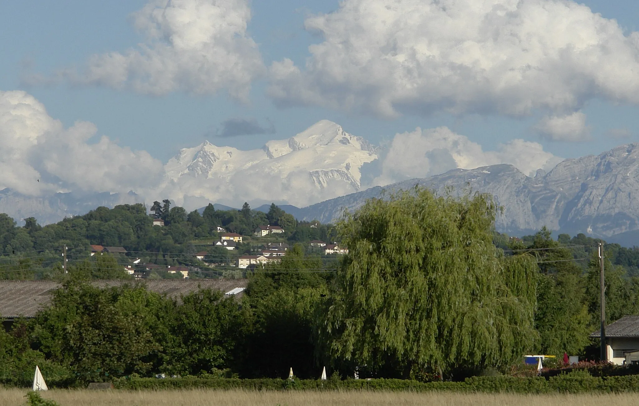
Gaillard, situated in the Rhône-Alpes region of France, is a great locality for road and gravel cyclists. The area offers diverse landscapes, including rolling hills, lakes, and vineyards, providing a variety of cycling routes to explore. Cyclists can also discover picturesque villages, taste delicious local cuisine, and visit nearby attractions such as Lac Léman. Notable climbs nearby include Col de la Faucille, which is popular among cyclists seeking a challenge.7 km
7 km
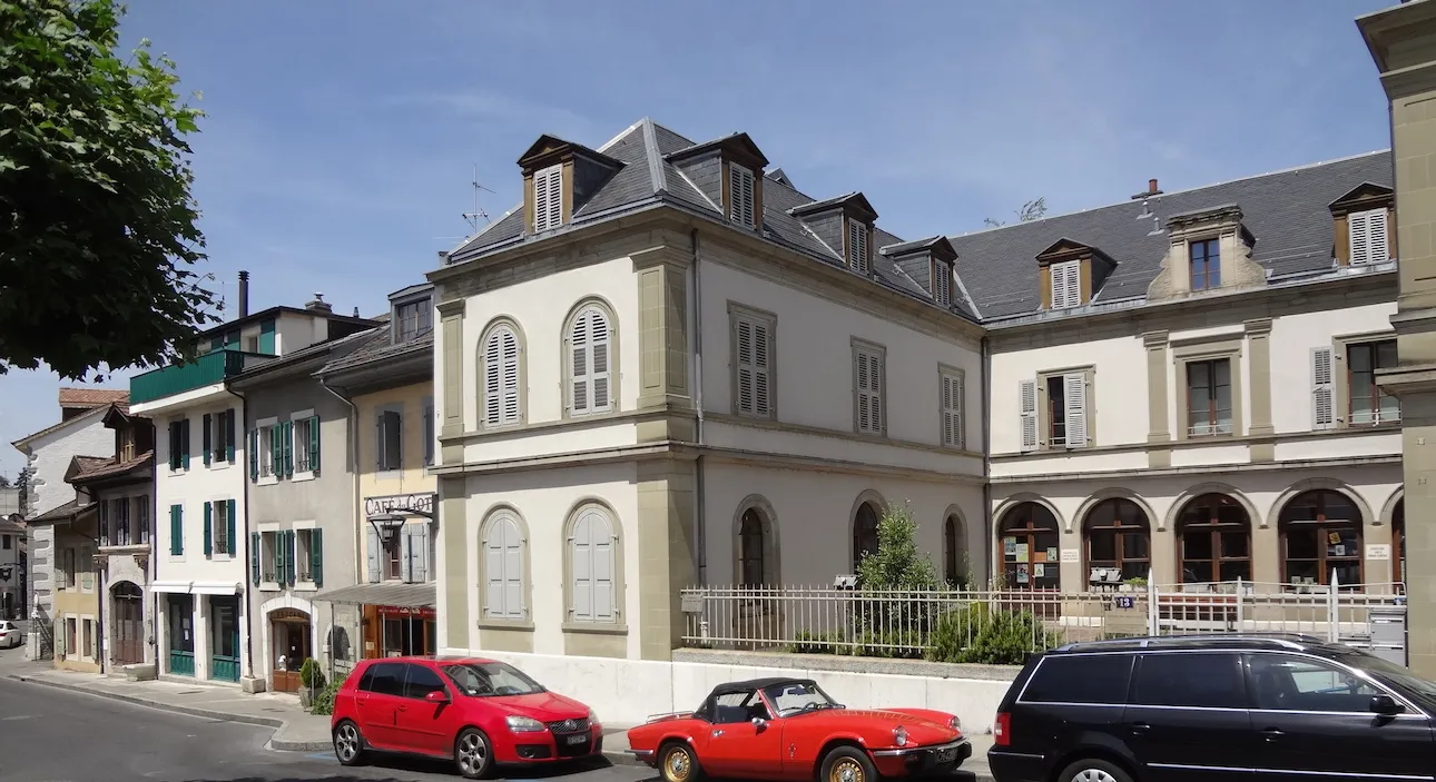
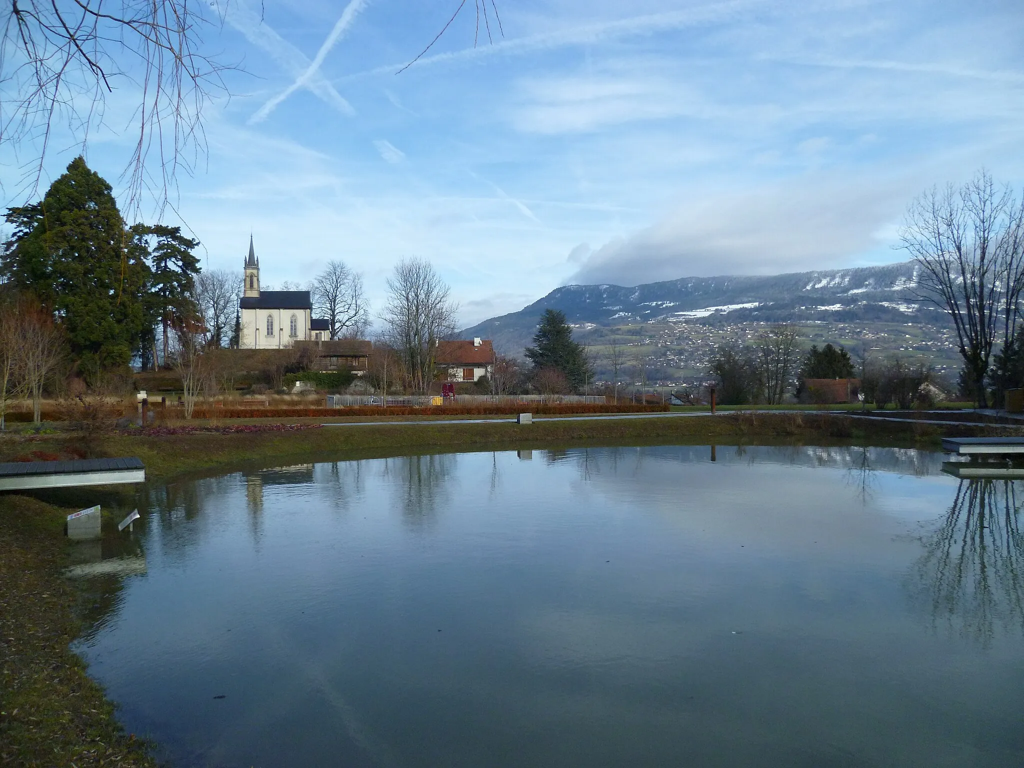
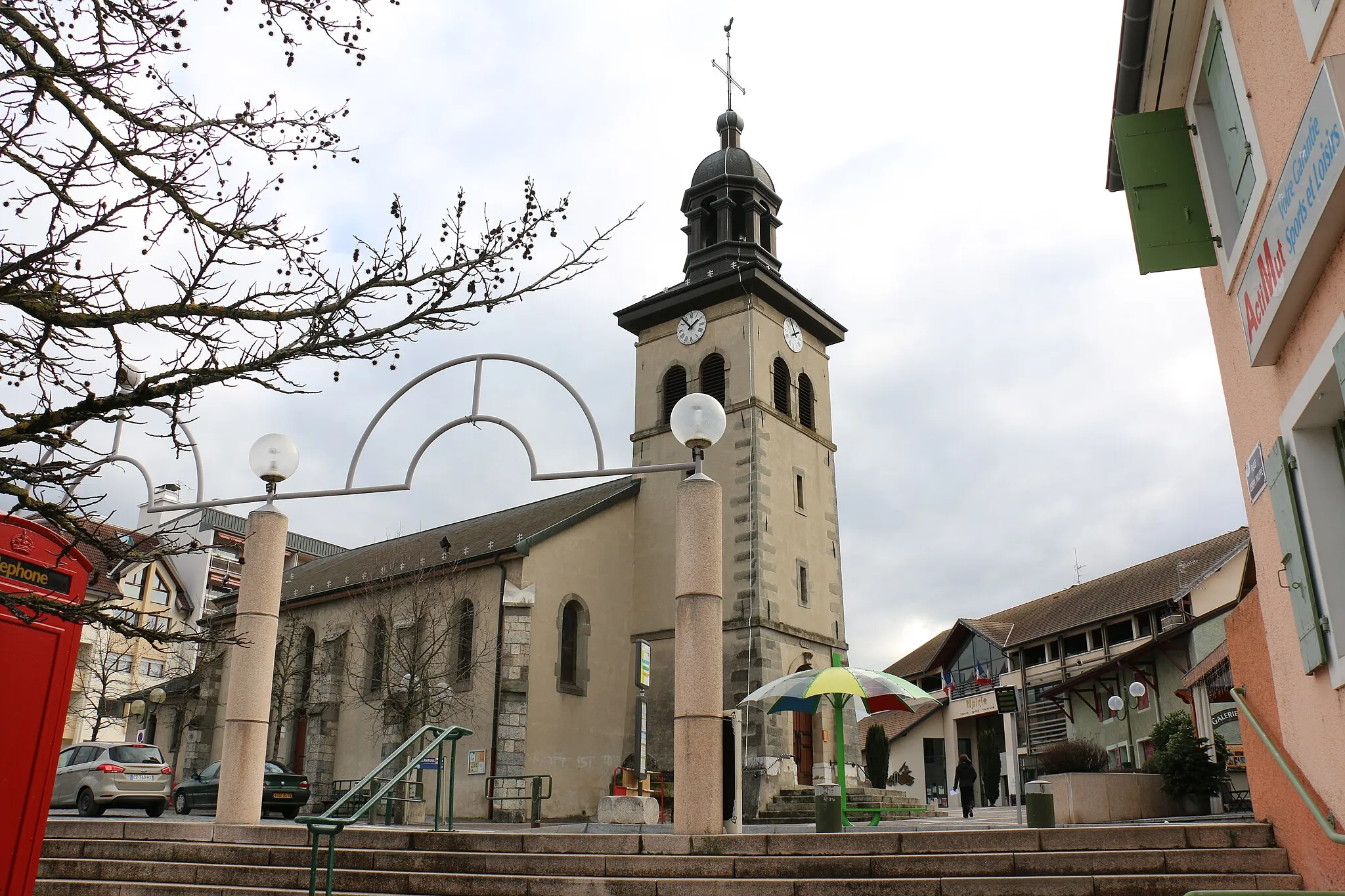
BosseyVillageBossey is a picturesque village with its beautiful chateau and charming streets, an ideal starting point for the route.
31 km
31 km
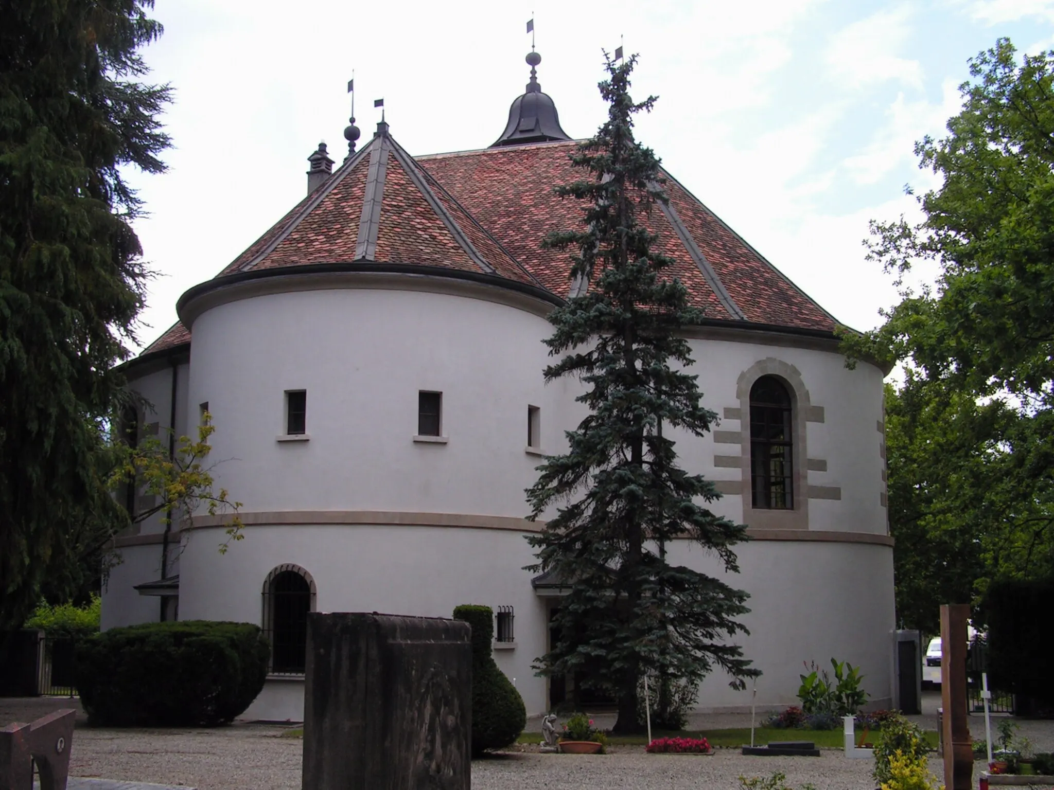
Dingy-en-VuacheVillageDingy-en-Vuache is a small village with winding streets and traditional architecture, perfect for a rest stop or exploration.
42 km
42 km
ValleiryVillageValleiry offers a picturesque setting with its old church and narrow streets, worth stopping by for a bit of local charm.
62 km
62 km
La pointe de la JonctionViewpointLa pointe de la Jonction is a unique natural landmark where the Arve and Rhône rivers meet, offering a stunning display of water and power.
64 km
64 km
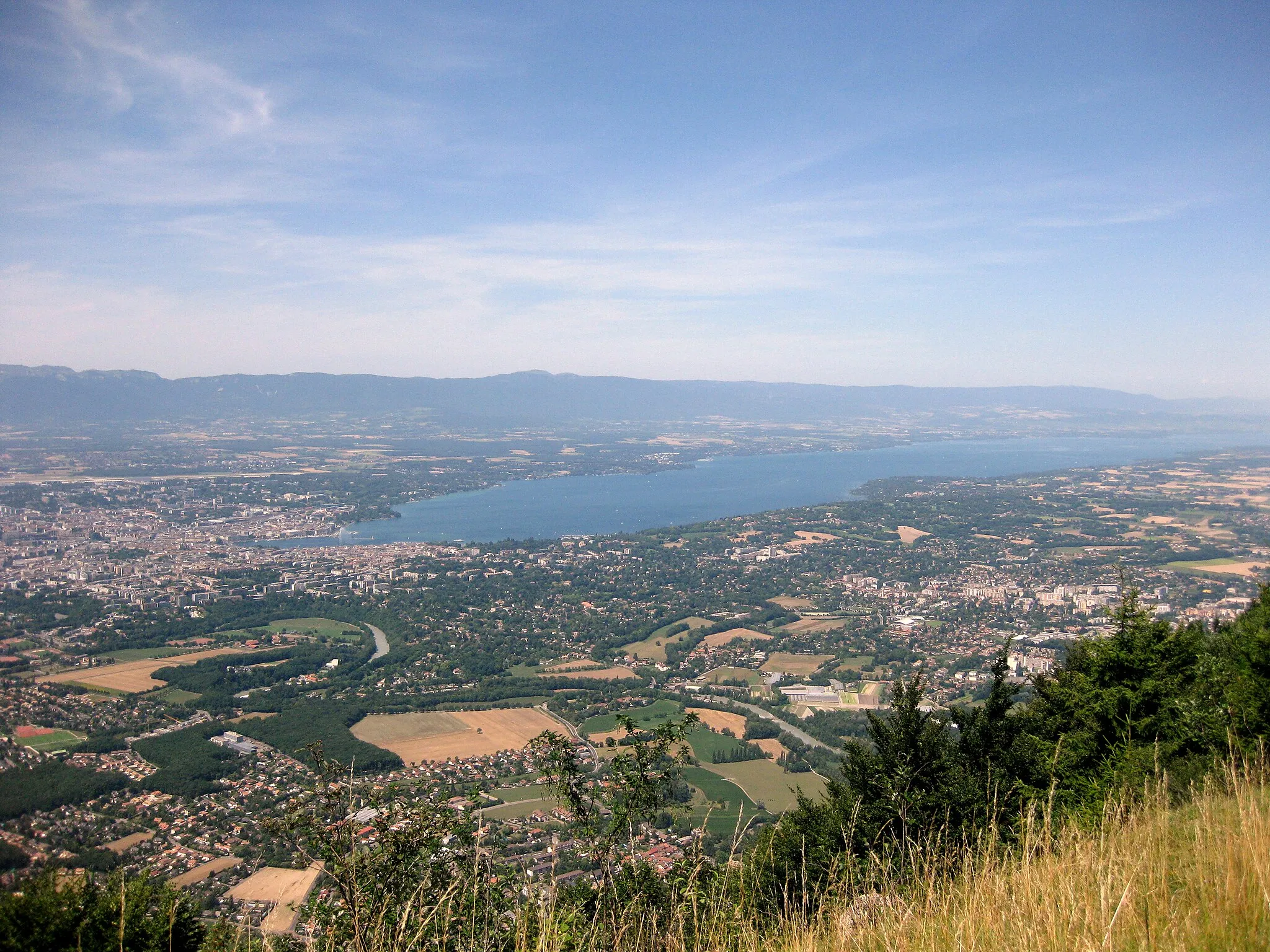
GenevaCityGeneva, with its lakefront and cultural sites, makes for a great post-cycle exploration before or after the ride.
70 km
70 km
Finish: Gaillard City centerGaillard: Gaillard: Discovering the natural beauty of Rhône-Alpes on two wheels.
Cycling routes from Gaillard:
The Heights and Delights of Gaillard Annemasse to Mont Gosse via Col de Saxel Arthaz-Pont-Notre-Dame to Ambilly via Thorens-Glières Mountains, Valleys, and Charming Towns Bossey to Carouge via Col du Mont Sion Bossey to La pointe de la Jonction Archamps to Belvédère de l'Observatoire Ultimate Alpine Challenge Gravel Adventure Through the Countryside Geneva to Valserine Gravel Adventure
Cycling routes nearby: