The Challenging Road Ride
A road cycling route starting from Hauteville-Lompnes
Conquer the challenging hills on this scenic road cycling adventure
Map
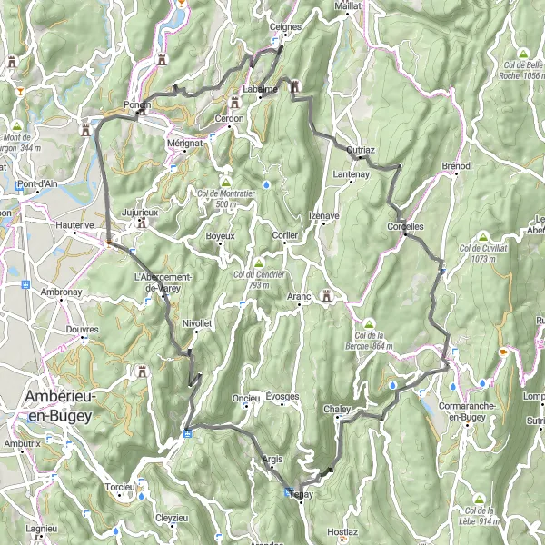
The Challenging Road Ride is an exhilarating cycling route starting near Hauteville-Lompnes in the Rhône-Alpes region of France. With a total distance of 78 kilometers and an ascent of 1556 meters, this road route provides a thrilling challenge for riders with its hilly terrain and scenic beauty. Highlights along the route include Malix, Saint-Rambert-en-Bugey, Poncin, Outriaz, and Hauteville-Lompnes. This route is recommended for experienced cyclists looking to push their limits while enjoying the stunning landscapes of the region.
road
78 km
1556 m
Tough
Route profile
Highlights on the route
0 km
0 km
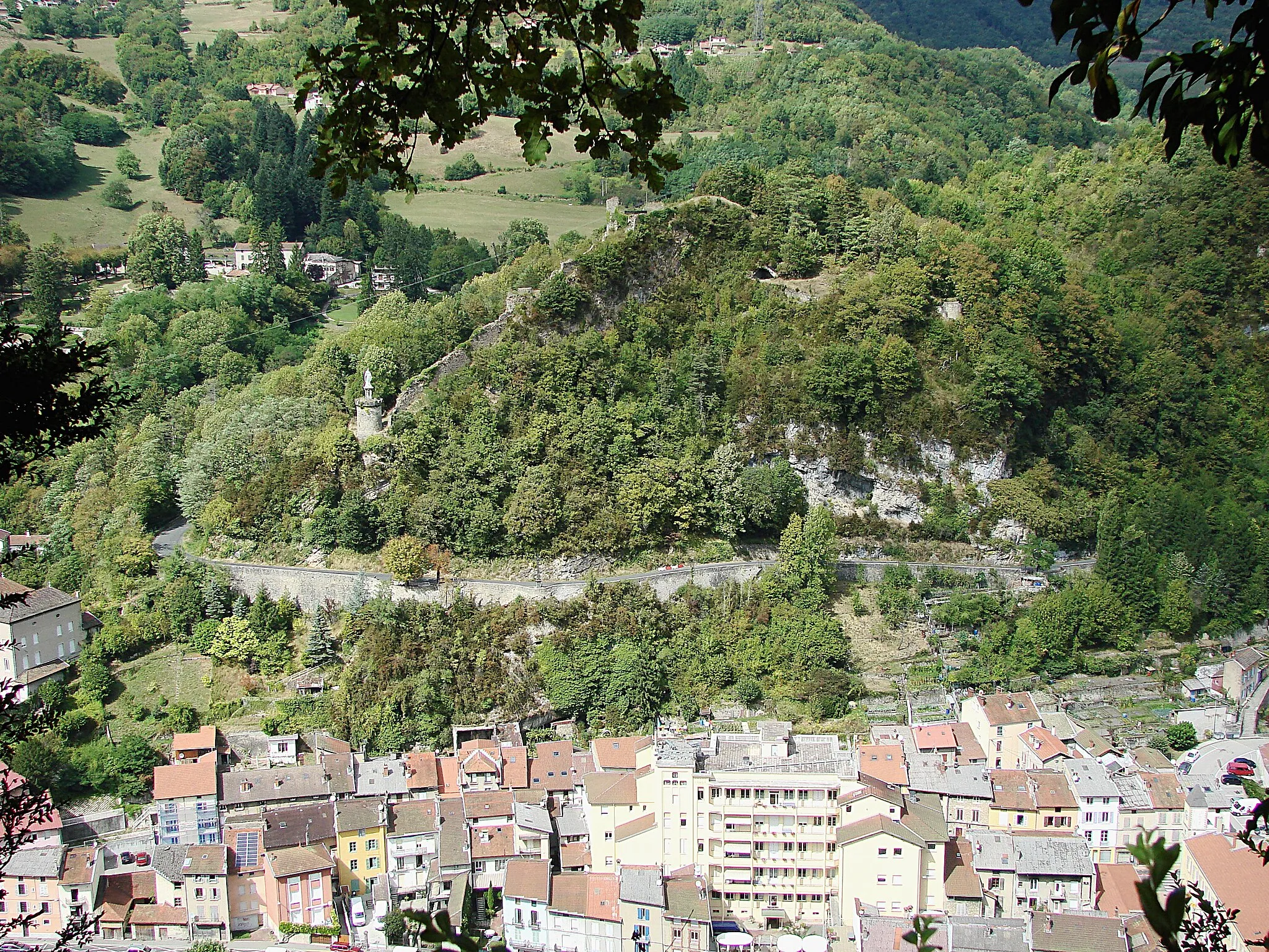
Start: Hauteville-Lompnes Village centerHauteville-Lompnes: Conquer legendary climbs in Hauteville-Lompnes
Hauteville-Lompnes, located in Rhône-Alpes, France, is a cycling-friendly locality with stunning mountain landscapes. The area is renowned for its challenging climbs, attracting both professional and amateur cyclists. Cyclists can tackle famous climbs like Col de la Biche and Col du Grand Colombier, which offer breathtaking views at the summit. Hauteville-Lompnes also provides well-maintained roads and scenic routes for road and gravel cyclists to enjoy. With its mountainous terrain and cycling infrastructure, it is an excellent choice for adventurous cyclists.11 km
11 km
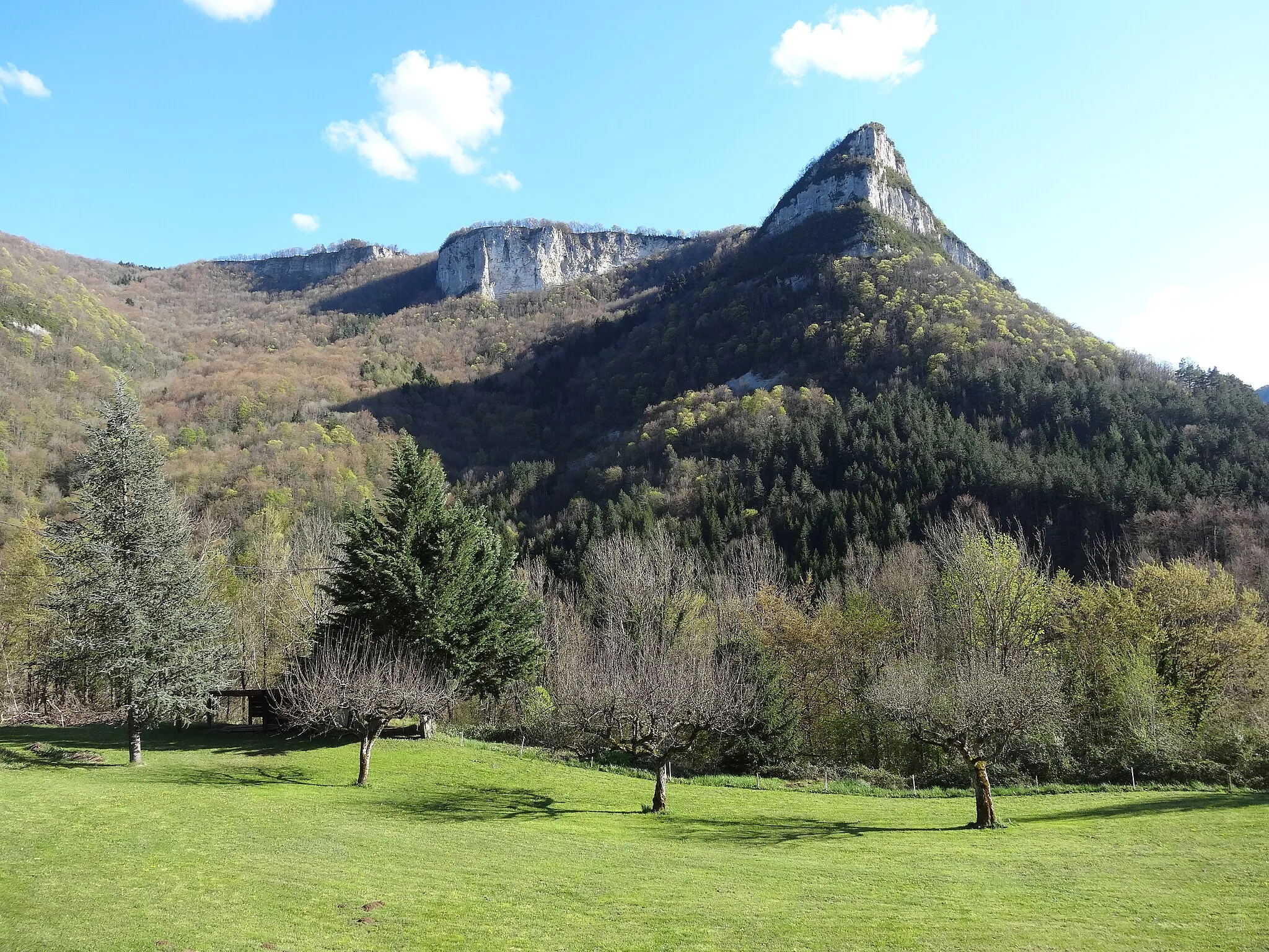
MalixHamletPass through the quiet village of Malix, surrounded by scenic beauty and offering a peaceful escape from the bustling city life.
20 km
20 km
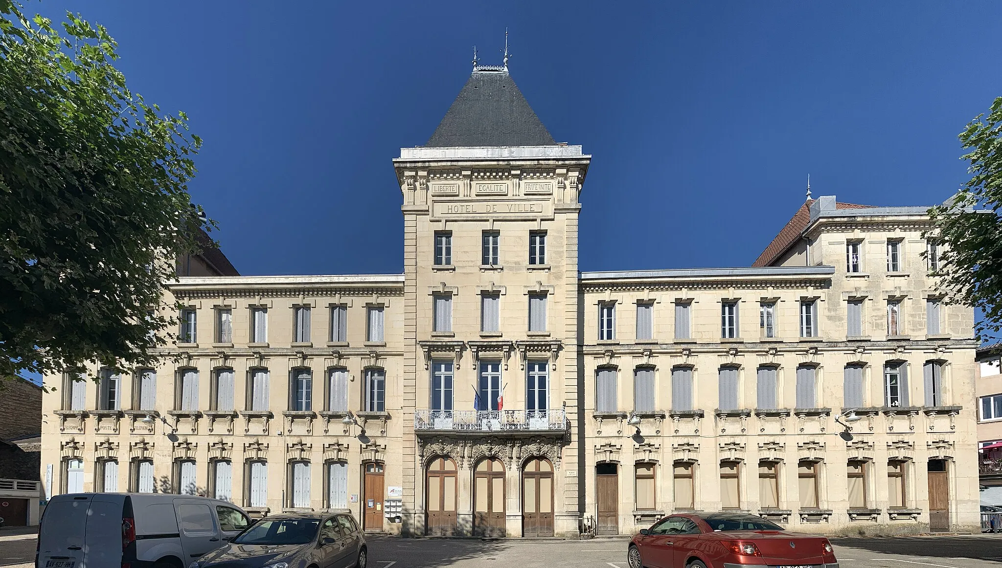
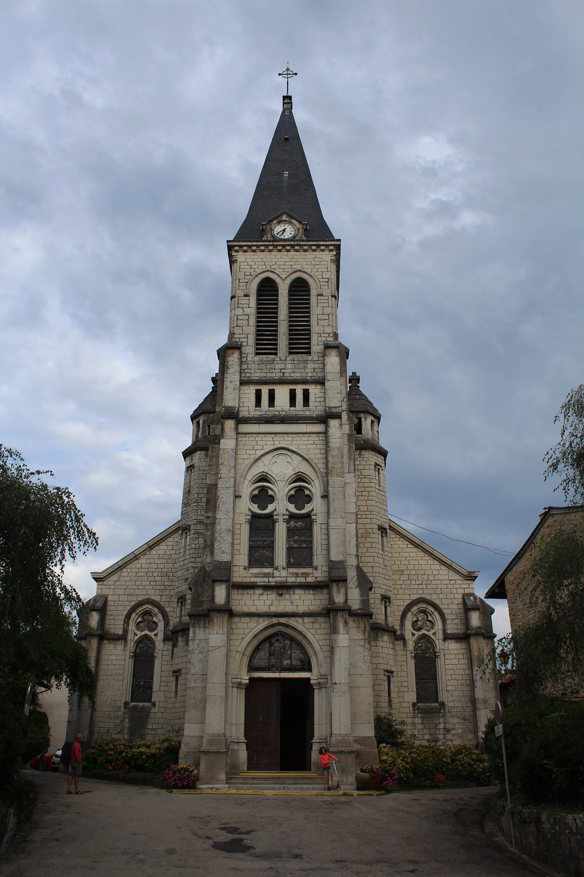
Saint-Rambert-en-BugeyVillageCycle through the charming town of Saint-Rambert-en-Bugey, known for its traditional French architecture and idyllic countryside views.
42 km
42 km
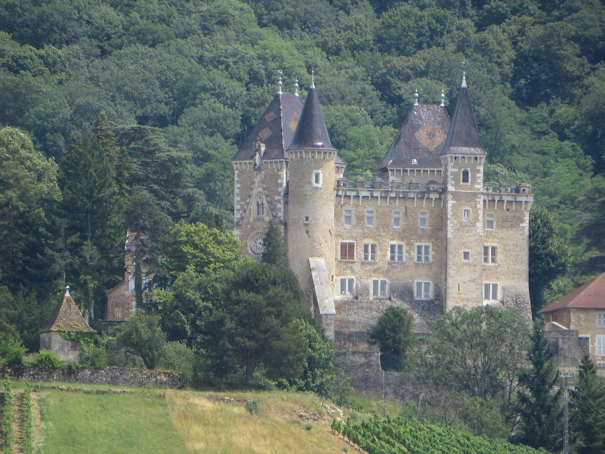
PoncinVillageVisit Poncin, a delightful town situated on the banks of the Ain River, offering a picturesque blend of nature and classic French charm.
64 km
64 km
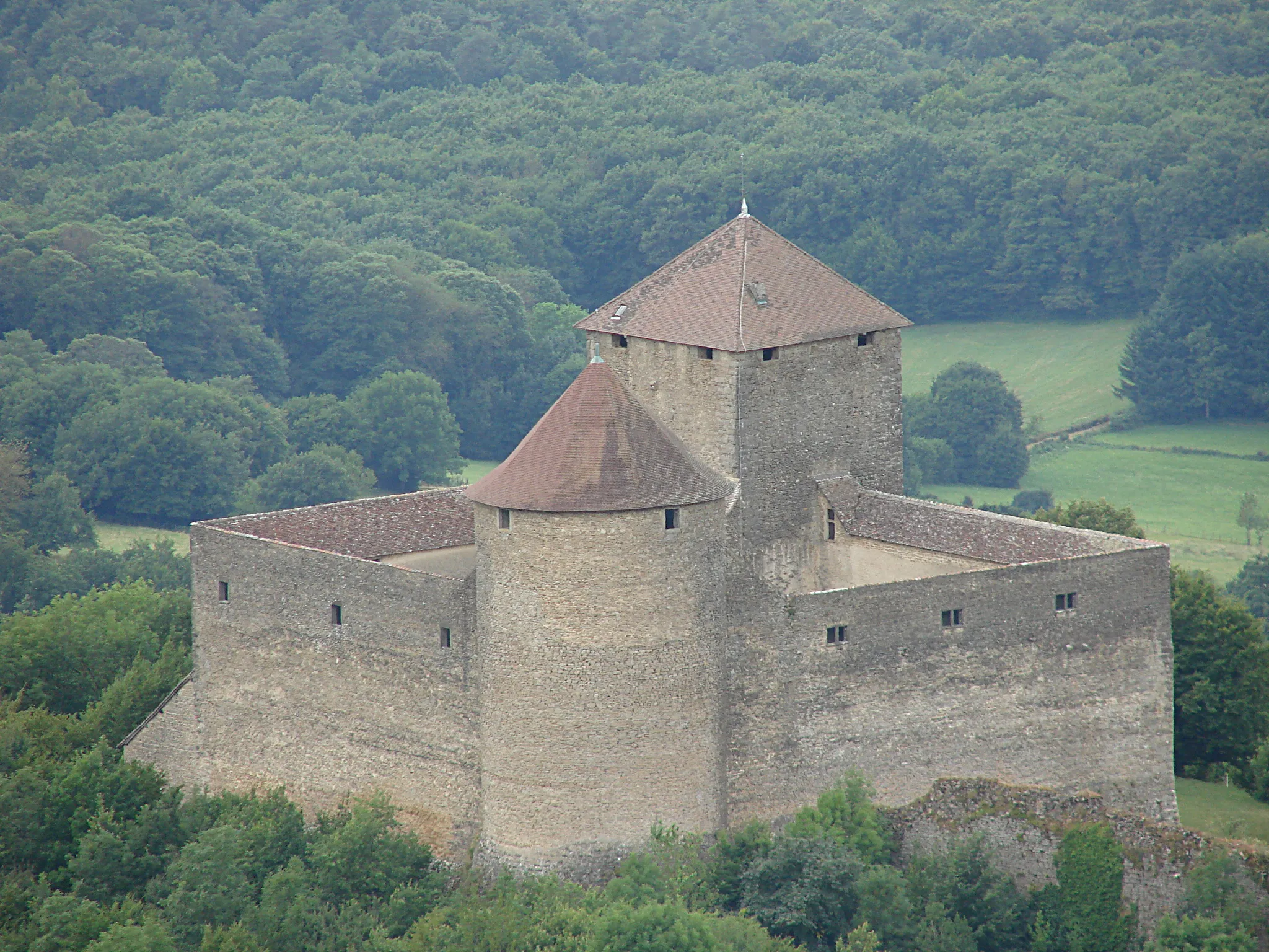
OutriazVillageConquer the challenging climb to Outriaz, a rewarding experience that offers breathtaking views of the surrounding valleys and landscapes.
78 km
78 km
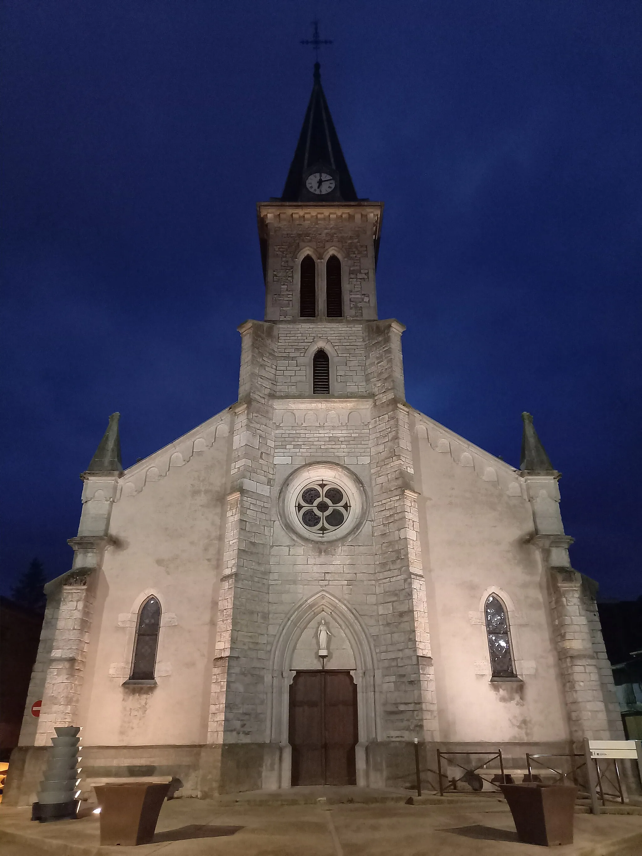
Hauteville-LompnesVillageFinish your ride in Hauteville-Lompnes, a quaint town surrounded by the stunning natural beauty of the Rhône-Alpes region, where you can unwind and reflect on your cycling achievement.
78 km
78 km
Finish: Hauteville-Lompnes Village centerHauteville-Lompnes: Conquer legendary climbs in Hauteville-Lompnes
Cycling routes from Hauteville-Lompnes:
The Scenic Road Loop The Gravel Mountain Loop Gravel Adventure: Col de la Croix de l'Orme Circuit The Countryside Gravel Adventure Discover the Charm of Outriaz and Col de Valorse The Alpine Gravel Challenge The Challenging Road Ride Adventurous Ride: Col de la Berche and Châtillon-de-Cornelle Col de la Berche and Glacières de Sylans Cycling Route Thezillieu and Col du Ballon Cycling Route
Cycling routes nearby: