Challenge of the Alps
A road cycling route starting from Jujurieux
Embrace the challenge as you cycle through the stunning Alps near Jujurieux
Map
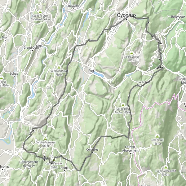
Embark on a challenging cycling journey through the awe-inspiring landscapes of the French Alps near Jujurieux. This road route spans a distance of 110 kilometers, with a demanding ascent of 2242 meters. Prepare to test your limits and conquer legendary climbs amidst breathtaking natural beauty.
road
110 km
2242 m
Savage
Route profile
Highlights on the route
0 km
0 km
Start: Jujurieux Village centerJujurieux: Charming landscapes for cycling enthusiasts in Jujurieux
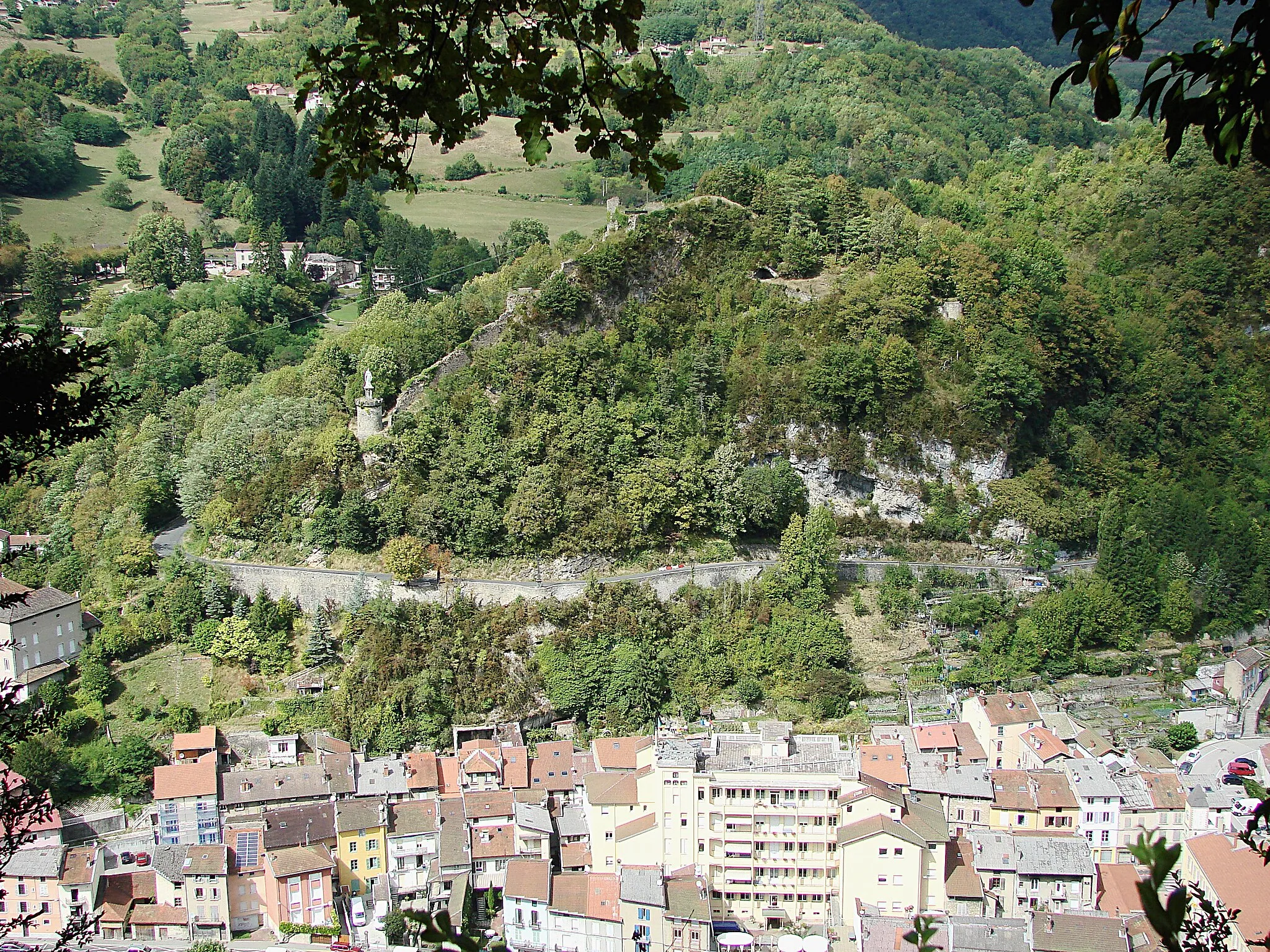
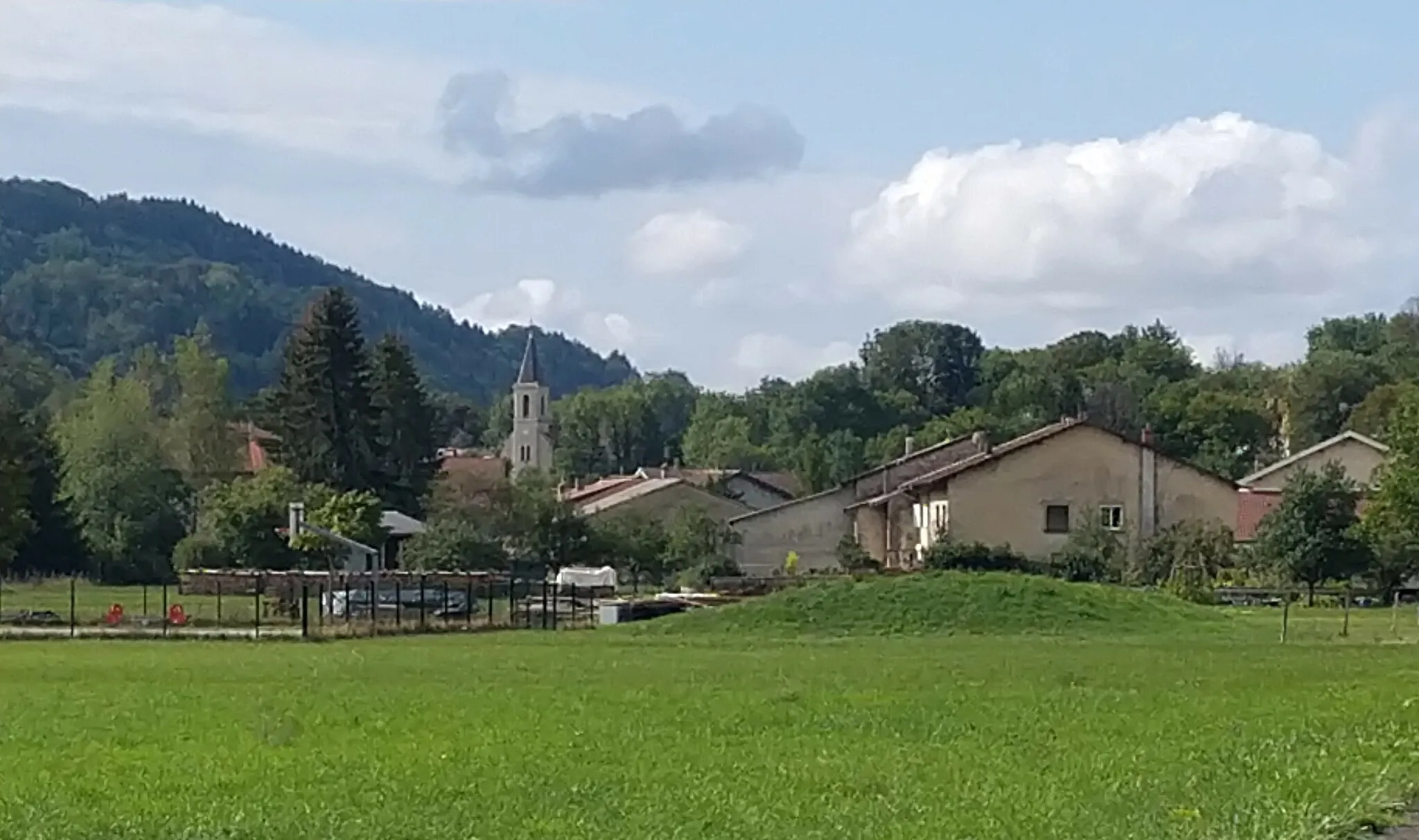
Jujurieux, located in the Rhône-Alpes region of France, is a charming locality that offers an enjoyable cycling experience for road and gravel cyclists. The area features beautiful landscapes with rolling hills and scenic countryside views. Cyclists can explore the well-maintained roads and various cycling routes in and around Jujurieux. While there may not be any famous cycling-related spots or well-known climbs nearby, the overall cycling experience in Jujurieux is delightful. The town itself has amenities such as cafes and accommodations for tourists.0 km
0 km
JujurieuxVillageCommence your epic adventure in Jujurieux, a picturesque starting point nestled amidst the stunning Alps. Soak in the alpine beauty and prepare yourself for an unforgettable cycling experience.
15 km
15 km
Col de Ceignes646 mMountain PassChallenge yourself with the Col de Ceignes, located 15 kilometers into the route. This demanding climb offers sweeping vistas of the surrounding mountainous landscapes, rewarding you for your perseverance.
35 km
35 km
BellignatVillageClimb up Bellignat at the 35-kilometer mark and marvel at the raw beauty of the Alps. This challenging ascent offers breathtaking views that will keep you motivated throughout the journey.
57 km
57 km
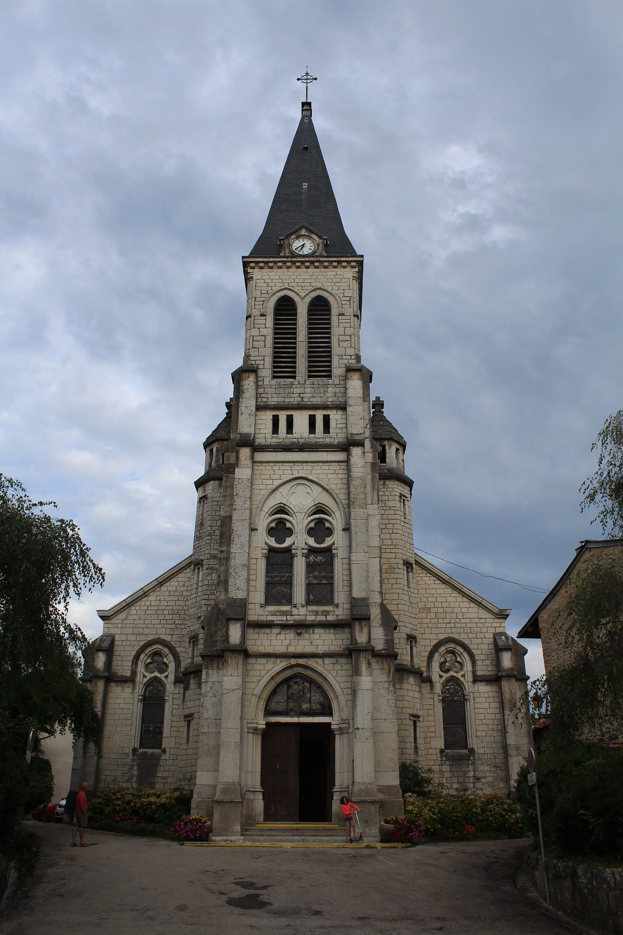
Saint-Germain-de-JouxVillageSaint-Germain-de-Joux, situated 57 kilometers into the route, is a true alpine gem. Explore the traditional chalets and let the peaceful atmosphere of this charming village inspire you.
65 km
65 km
Le PoizatVillageLe Poizat, located 65 kilometers into the route, showcases the untouched beauty of nature. Ride through pristine forests and enjoy the tranquility of this remote alpine destination.
84 km
84 km
BrénodVillageAs you approach Brénod at the 84-kilometer mark, be prepared to be swept away by the majestic scenery. Take a moment to savor the awe-inspiring views and appreciate the pristine alpine surroundings.
97 km
97 km
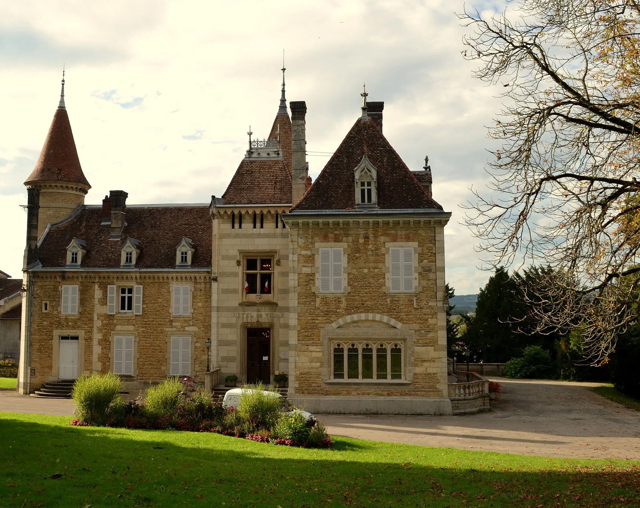
CorlierVillageCorlier, located 97 kilometers into the route, is a charming village that perfectly epitomizes alpine charm. Embrace the warm hospitality of the locals and discover the unique traditions of the region.
99 km
99 km
Col du Cendrier793 mMountain PassGear up for the challenging ascent of Col du Cendrier, which awaits you at the 99-kilometer mark. This renowned climb will push your limits and reward you with breathtaking views from the top.
110 km
110 km
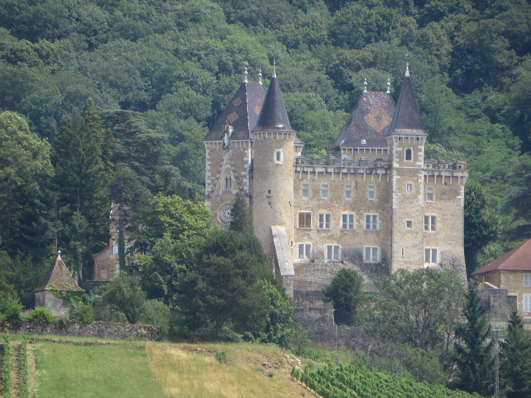
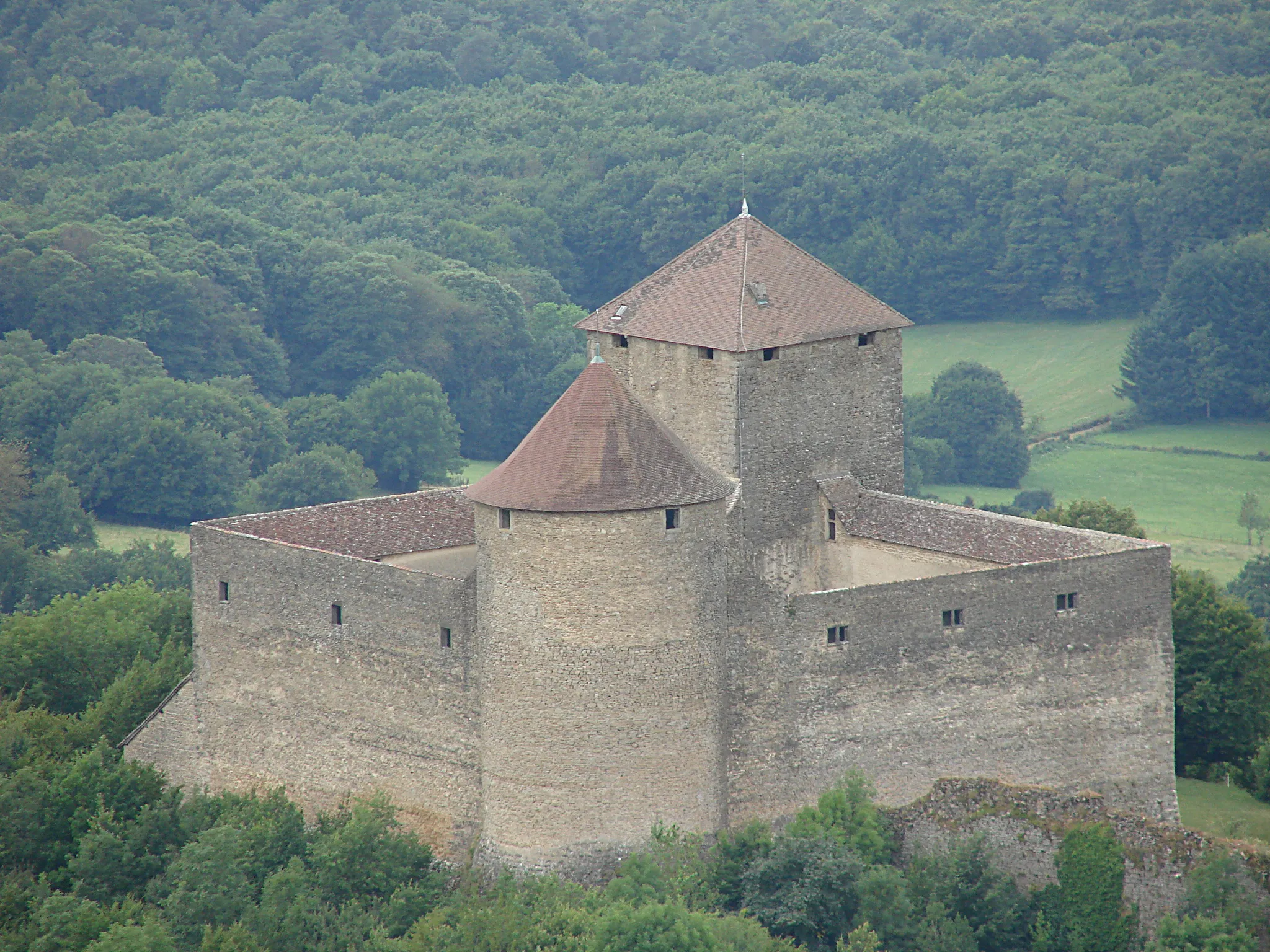
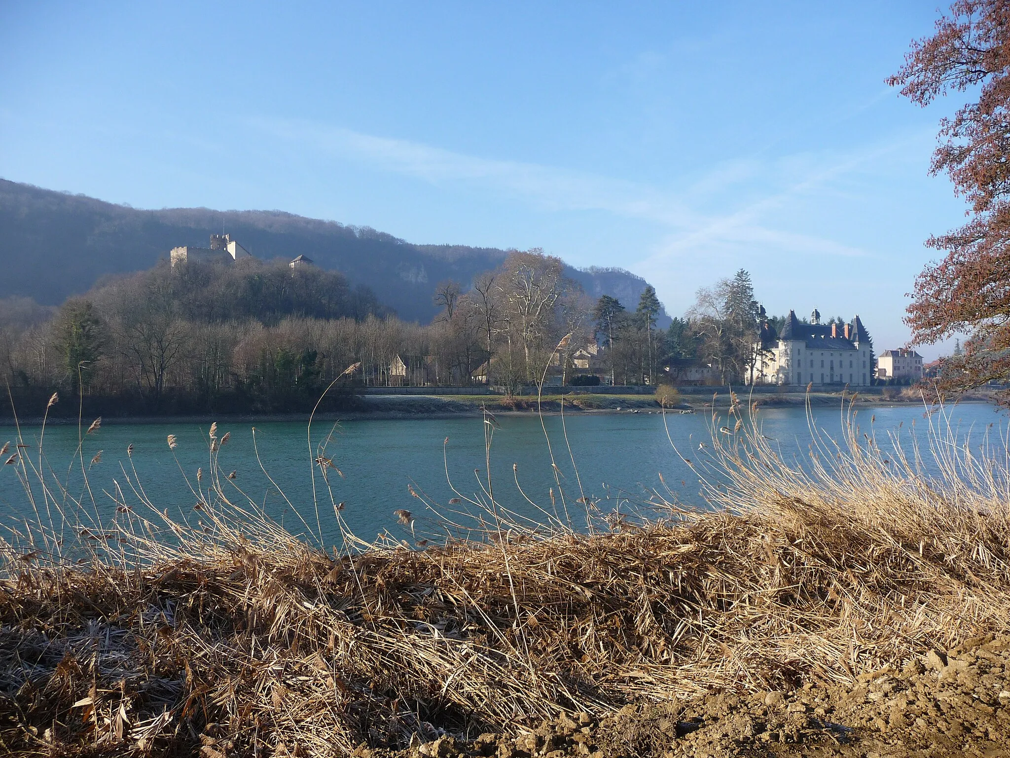
Château de la Tour-des-ÉchellesCastleConclude your epic Alps adventure at Château de la Tour-des-Échelles. Immerse yourself in its captivating history and indulge in the stories that echo through its ancient halls.
110 km
110 km
Finish: Jujurieux Village centerJujurieux: Charming landscapes for cycling enthusiasts in Jujurieux
Cycling routes from Jujurieux:
Ride Through Tranquil Landscapes Challenge of the Alps Ceignes and Nantua Loop Ride Road Cycling Adventure through Rhône-Alpes: From Jujurieux to Château de la Tour-des-Échelles Road Cycling Adventure through Rhône-Alpes Scenic Bugey Loop Ride Legendary Climbs: Jujurieux to Château de la Tour-des-Échelles Cycling Adventure in Ain Gravel Route to Château de la Tour-des-Échelles Scenic Gravel Ride to Poncin
Cycling routes nearby: