Exploring Rhône-Alpes
A road cycling route starting from L'Etrat
Discover the stunning views and challenging terrains of Rhône-Alpes on this road cycling route.
Map

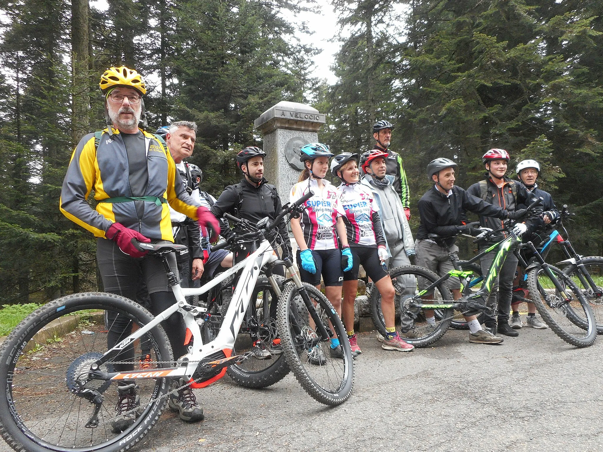
Rhône-Alpes offers a perfect blend of picturesque landscapes and demanding routes for cyclists. With a total distance of 91 kilometers and an ascent of 1568 meters, this road cycling route starting near L'Étrat is suitable for well-trained amateur cyclists. The route showcases the iconic Tour observatoire, Saint-Étienne, Planfoy, Col de la République, Riotord, Saint-Didier-en-Velay, Saint-Ferréol-d'Auroure, and Villars, each providing unique attractions along the way.
road
91 km
1568 m
Tough
Route profile
Highlights on the route
0 km
0 km
Start: L'Étrat Village centerL'Étrat: Scenic road cycling in Rhône-Alpes region
L'Étrat is a town in the Rhône-Alpes region of France. Although it doesn't have any famous cycling spots or well-known climbs nearby, L'Étrat offers pleasant roads for road cyclists to enjoy. The surrounding area features rolling hills and beautiful countryside views, providing a peaceful and enjoyable cycling experience. While it may not be a cycling hotspot, L'Étrat offers a suitable location for cyclists who prefer quieter routes.4 km
4 km
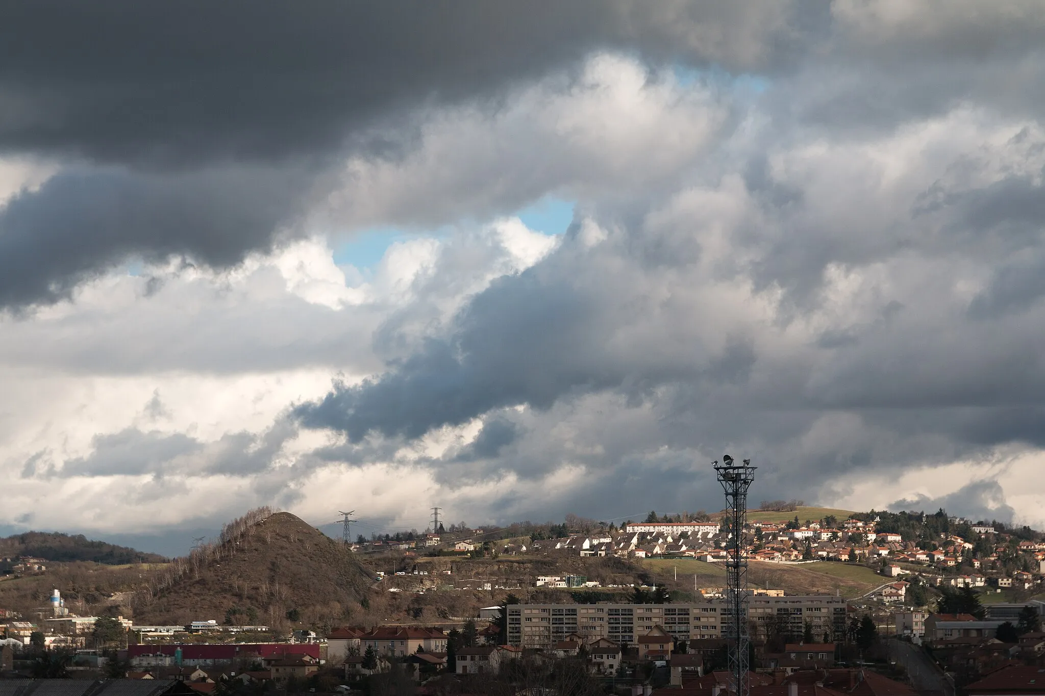
Tour observatoireViewpointTour observatoire: Enjoy stunning panoramic views of Rhône-Alpes from the iconic observatory.
7 km
7 km
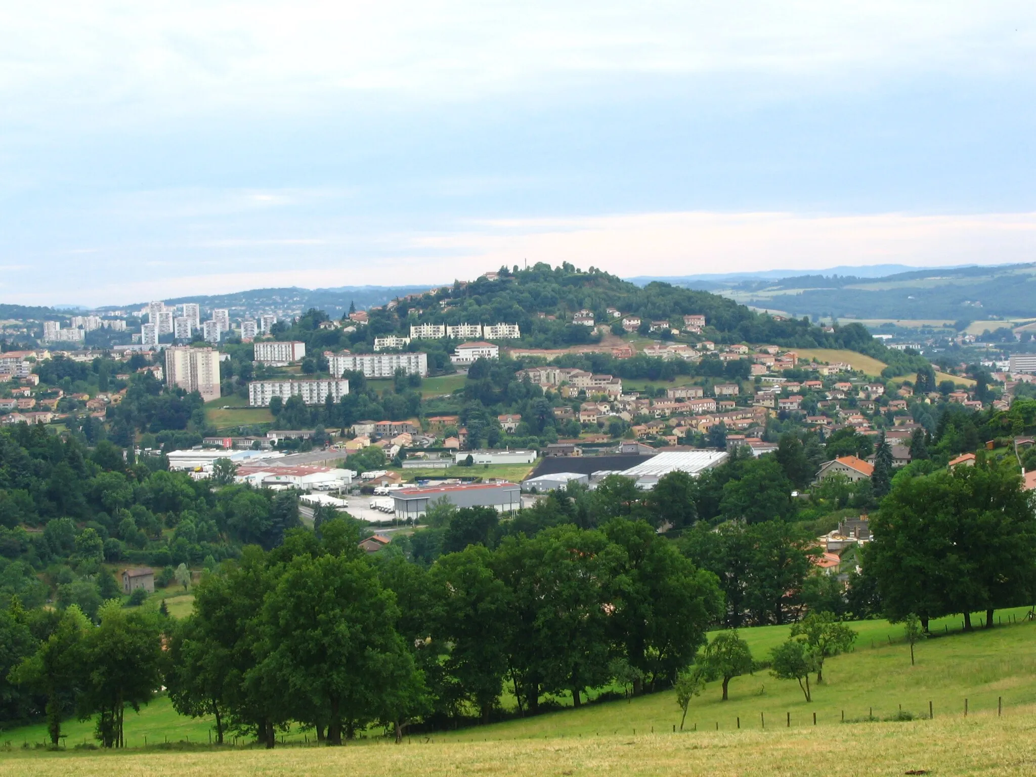
Saint-ÉtienneCitySaint-Étienne: Dive into the rich industrial history and vibrant culture of this famous French city.
15 km
15 km
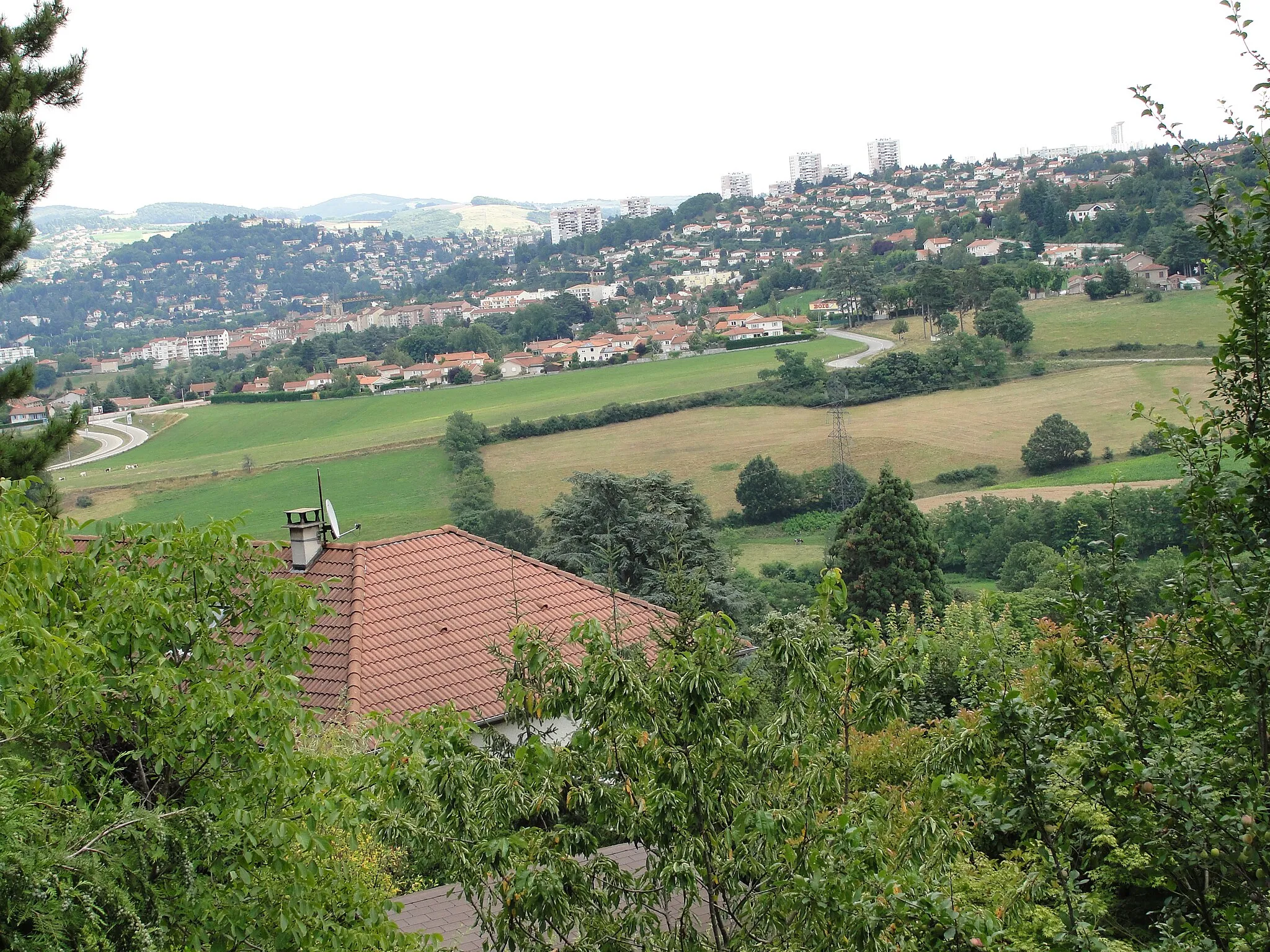
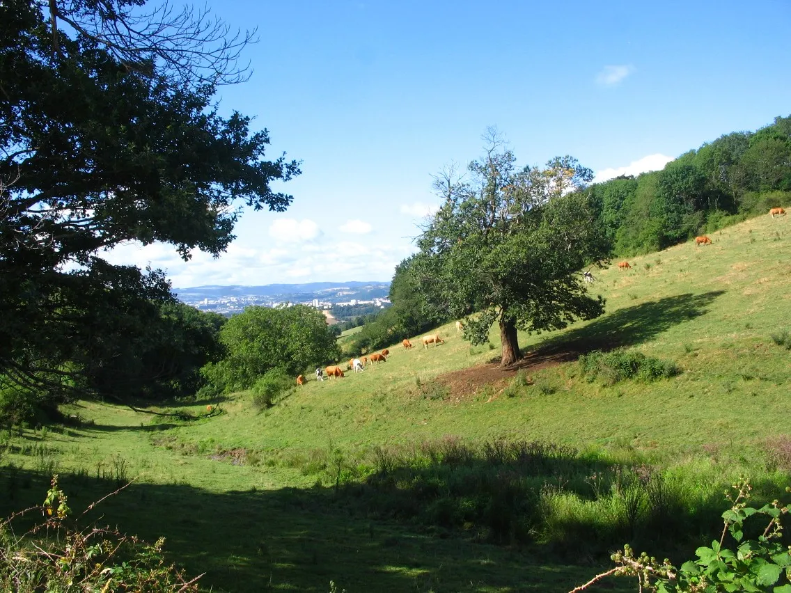
PlanfoyVillagePlanfoy: Cycle through charming villages and lush green forests in this serene location.
23 km
23 km
Col de la République1161 mMountain PassCol de la République: Test your strength and endurance on this famous climb with breathtaking views.
38 km
38 km
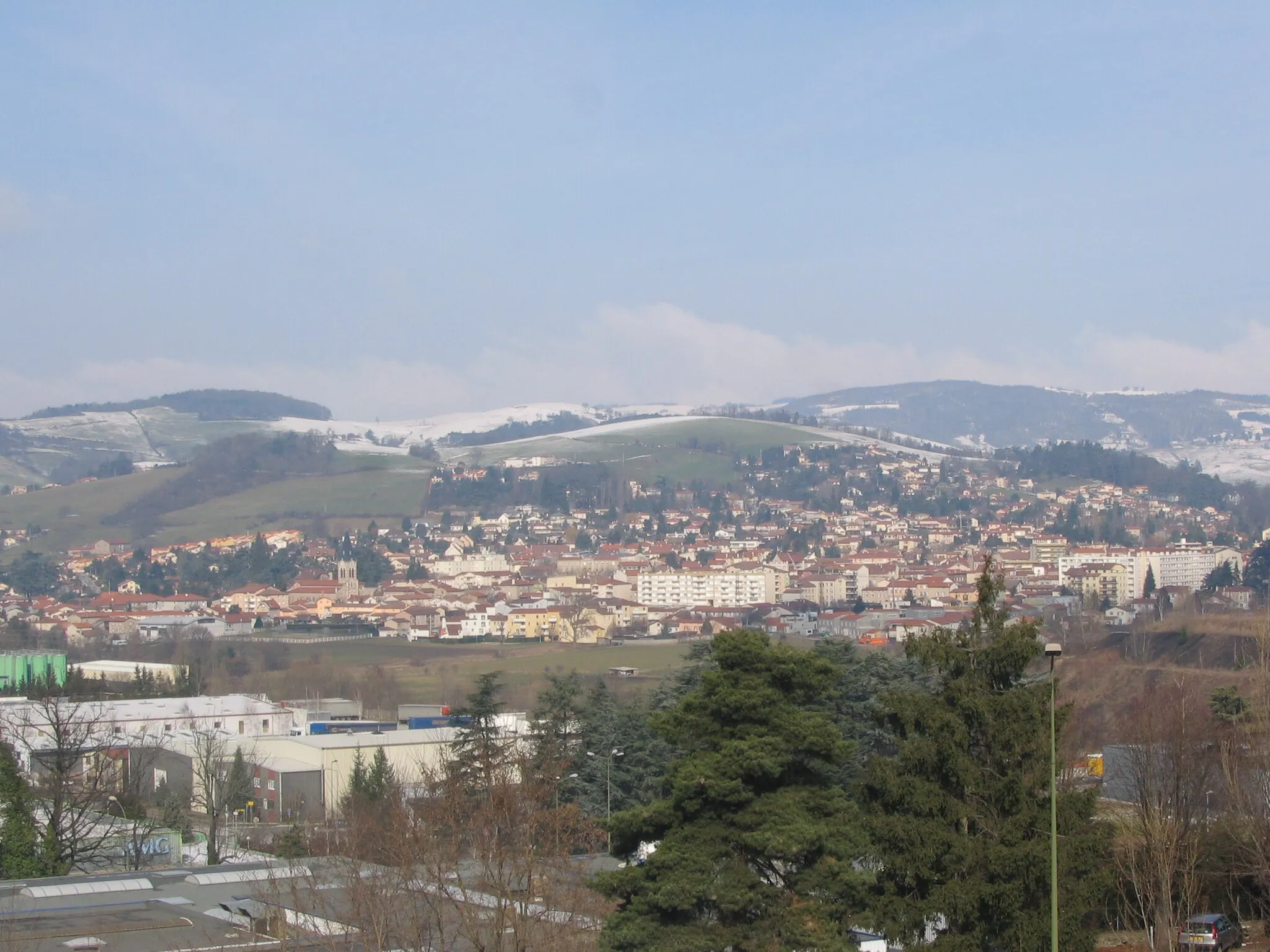
RiotordVillageRiotord: Experience the warm hospitality and local cuisine in this quaint village.
56 km
56 km
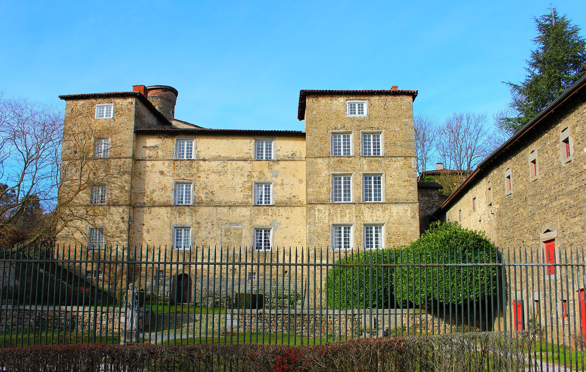
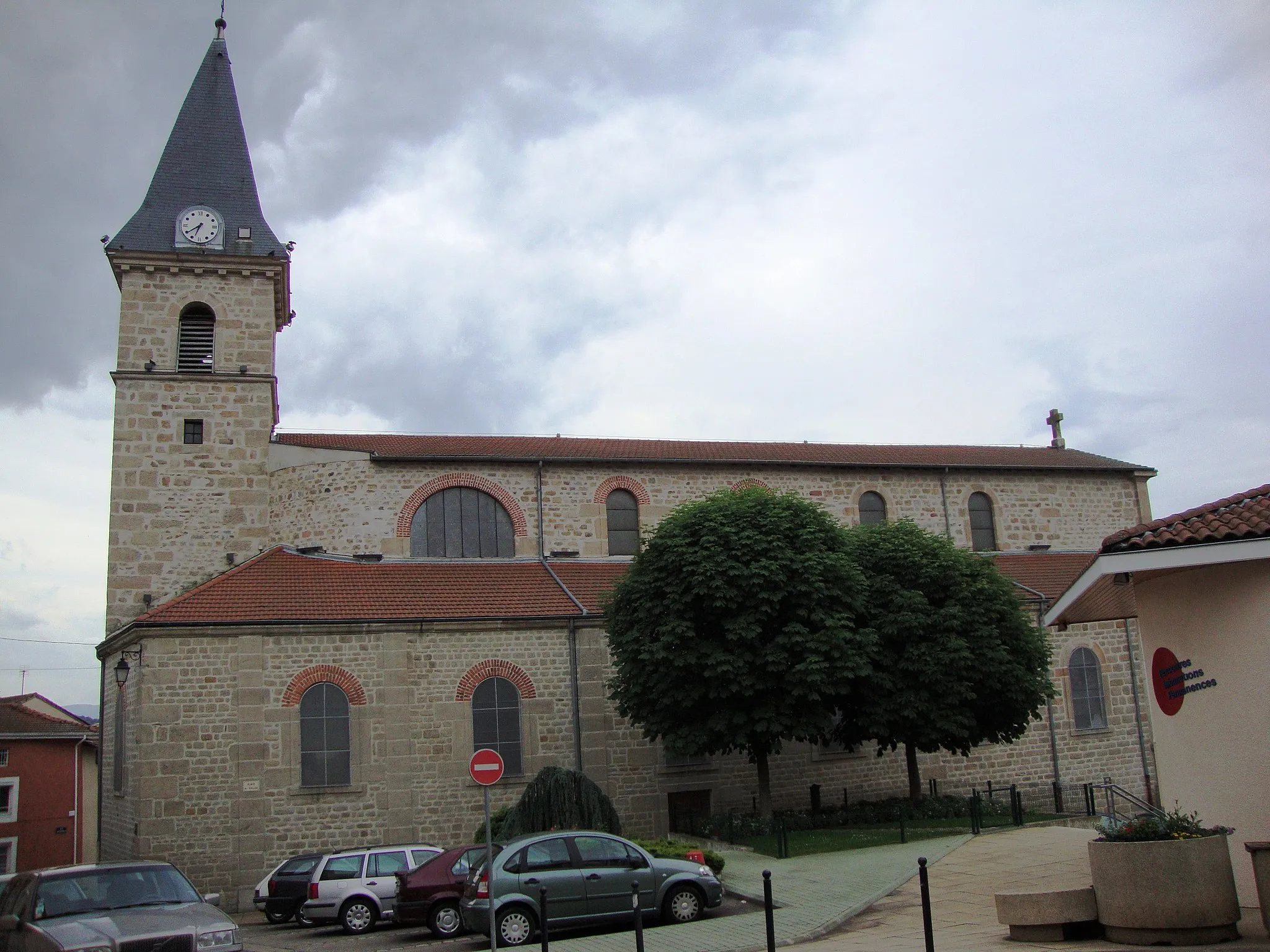
Saint-Didier-en-VelayVillageSaint-Didier-en-Velay: Immerse yourself in the rich history and architecture of this picturesque town.
65 km
65 km
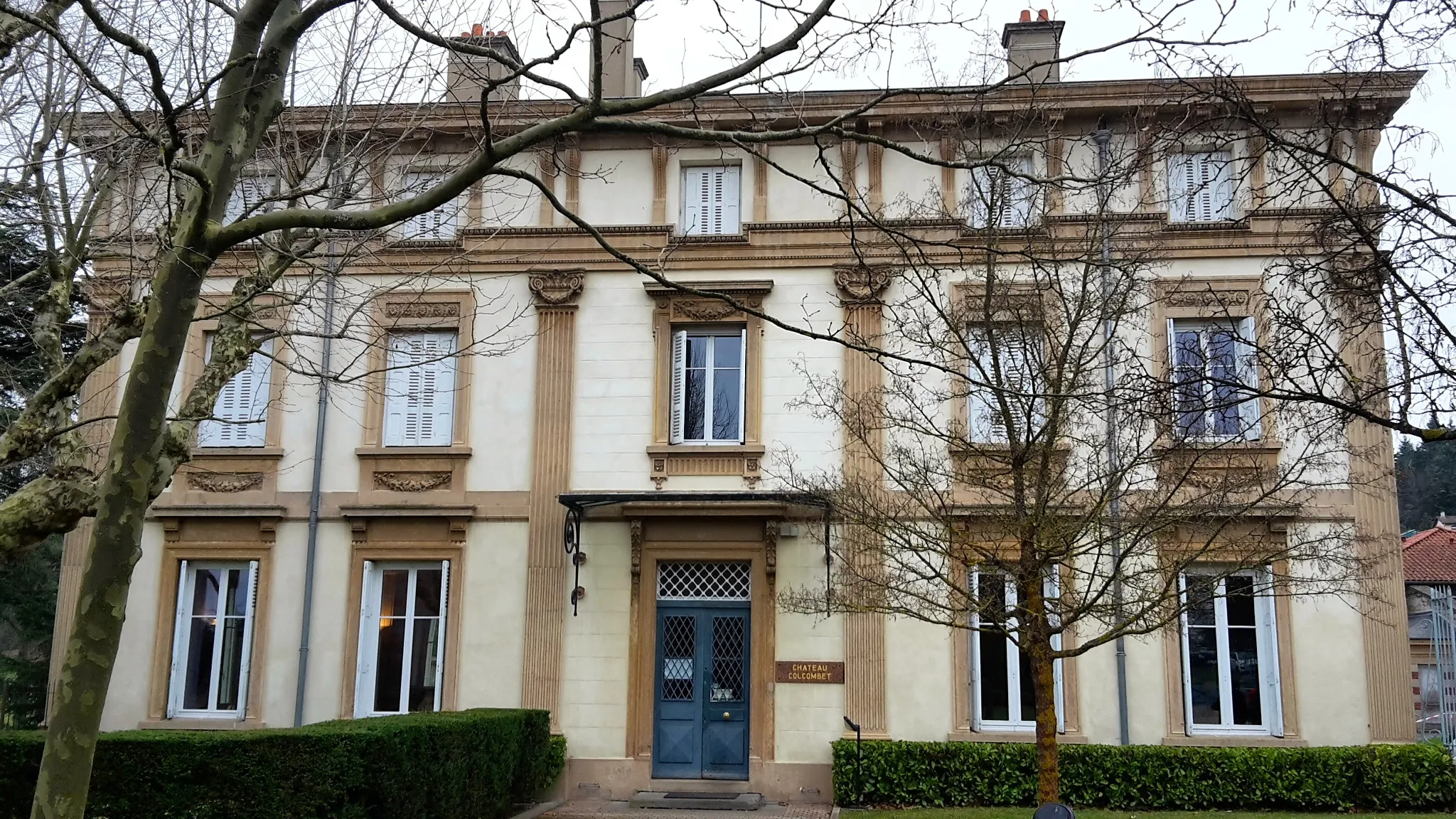
Saint-Ferréol-d'AuroureVillageSaint-Ferréol-d'Auroure: Admire the beautiful churches and charming streets of this historic village.
86 km
86 km
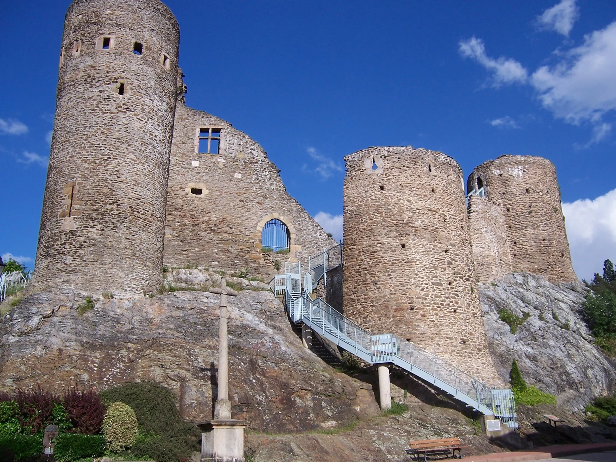
VillarsVillageVillars: Explore the ancient Roman ruins and enjoy the breathtaking scenery of Villars.
91 km
91 km
Finish: L'Étrat Village centerL'Étrat: Scenic road cycling in Rhône-Alpes region
Cycling routes from L'Etrat:
The Villages Loop Gravel Adventure in the Rhône-Alpes Serenity in the Valleys The Hidden Gems Ride The Gravel Expedition The Gravel Adventure The Hillside Adventure Challenging Hills and Hidden Gems Exploring Rhône-Alpes The Four Peaks Challenge L'Étrat - Saint-Chamond - Doizieux - Crêt de l'Œillon - Croix de Chaubouret - Le Bessat - Saint-Étienne - Tour observatoire - L'Étrat
Cycling routes nearby: