Rolling Hills and Vineyard Charm
Cycling routes from Mornant
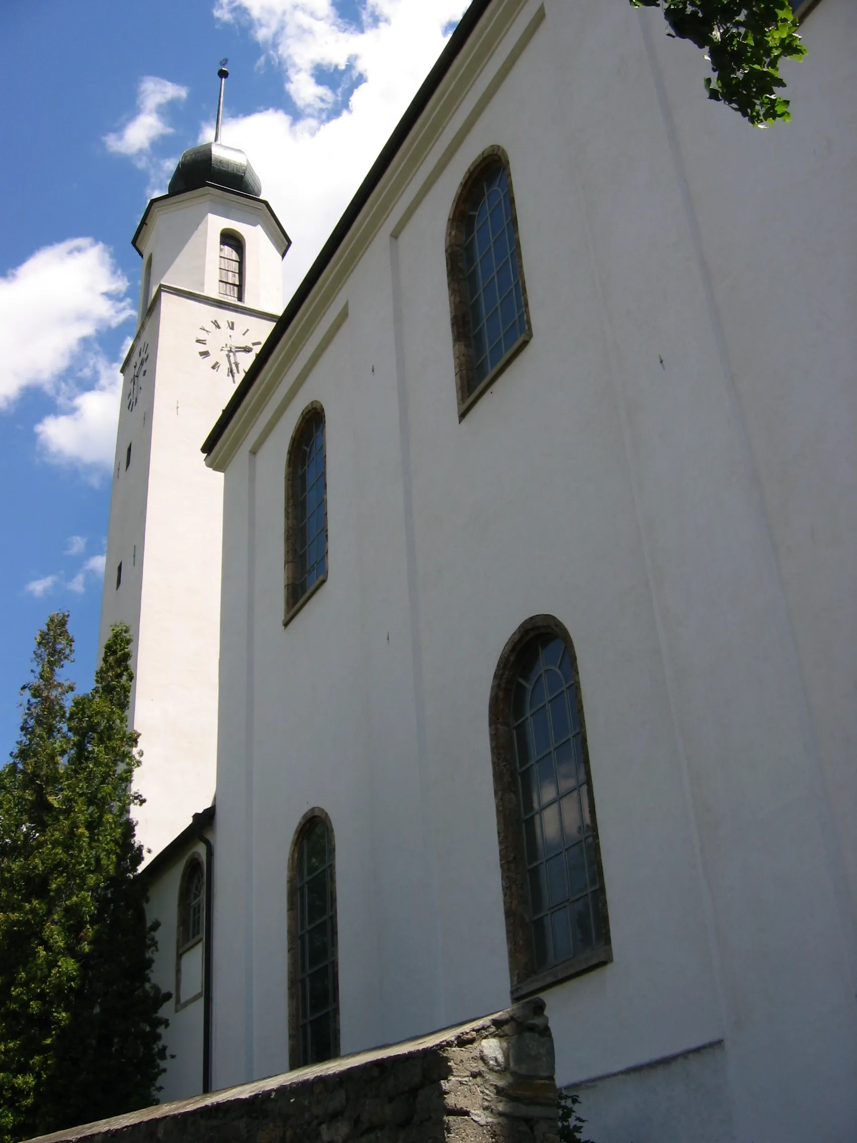
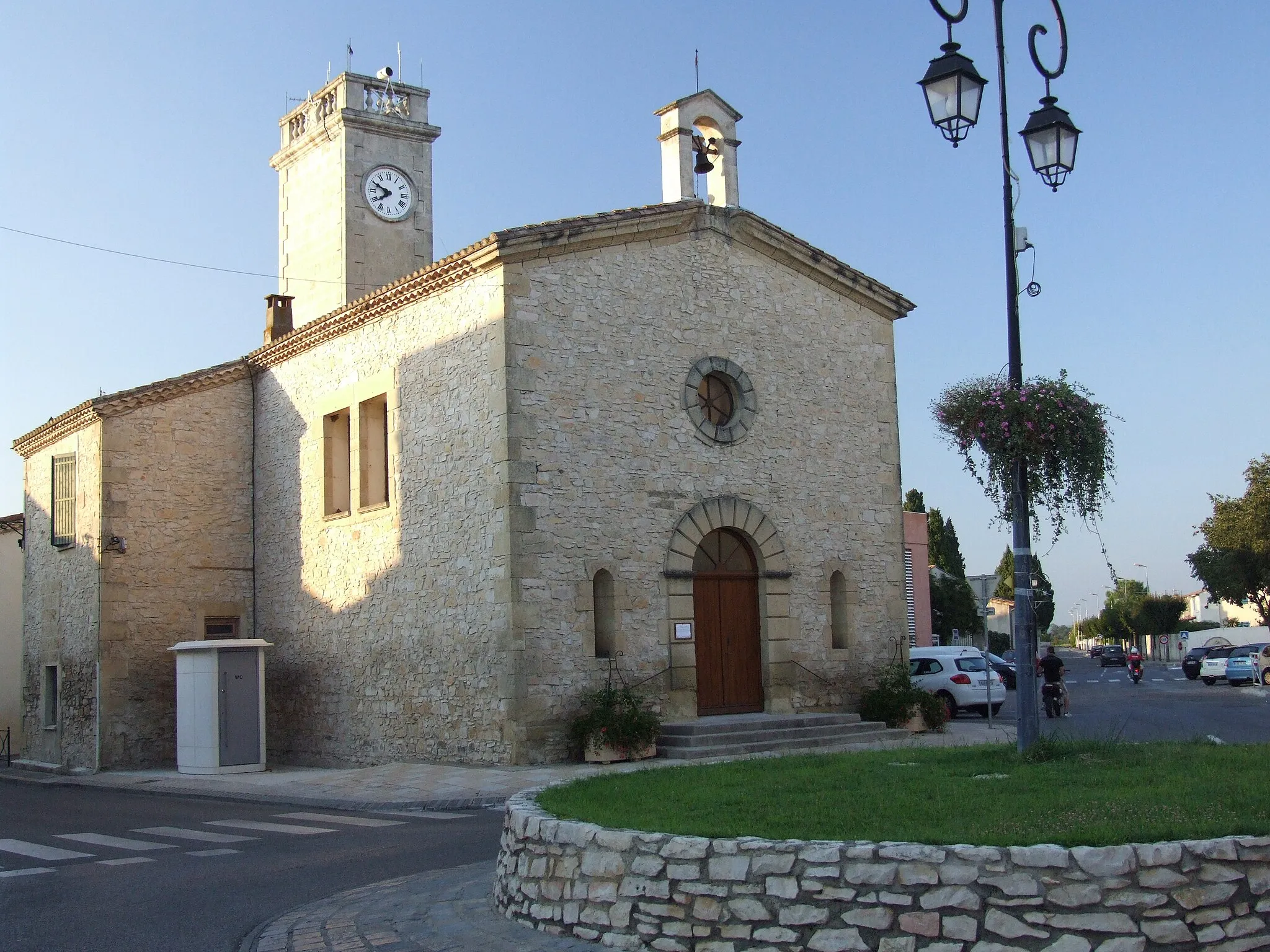
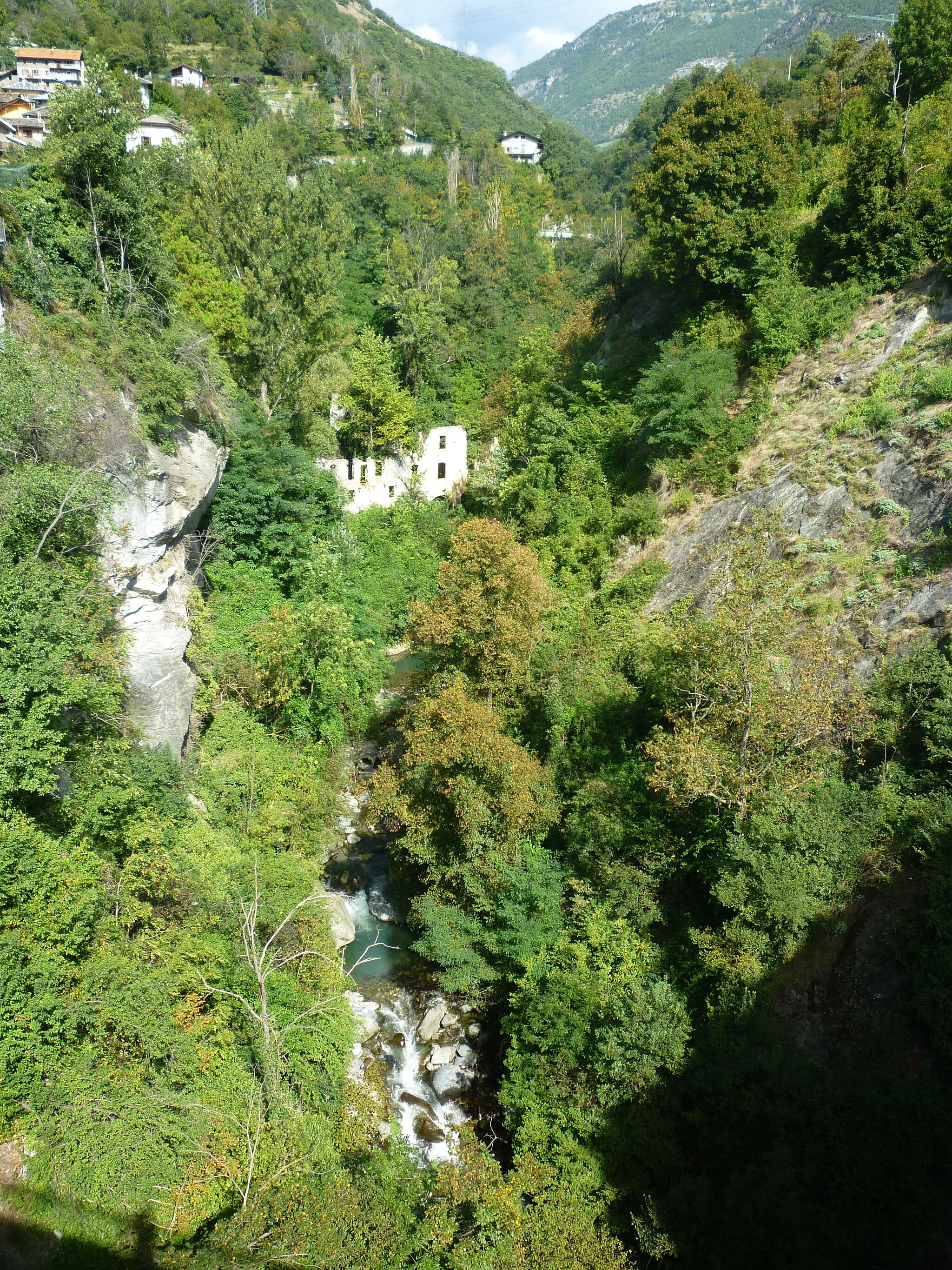
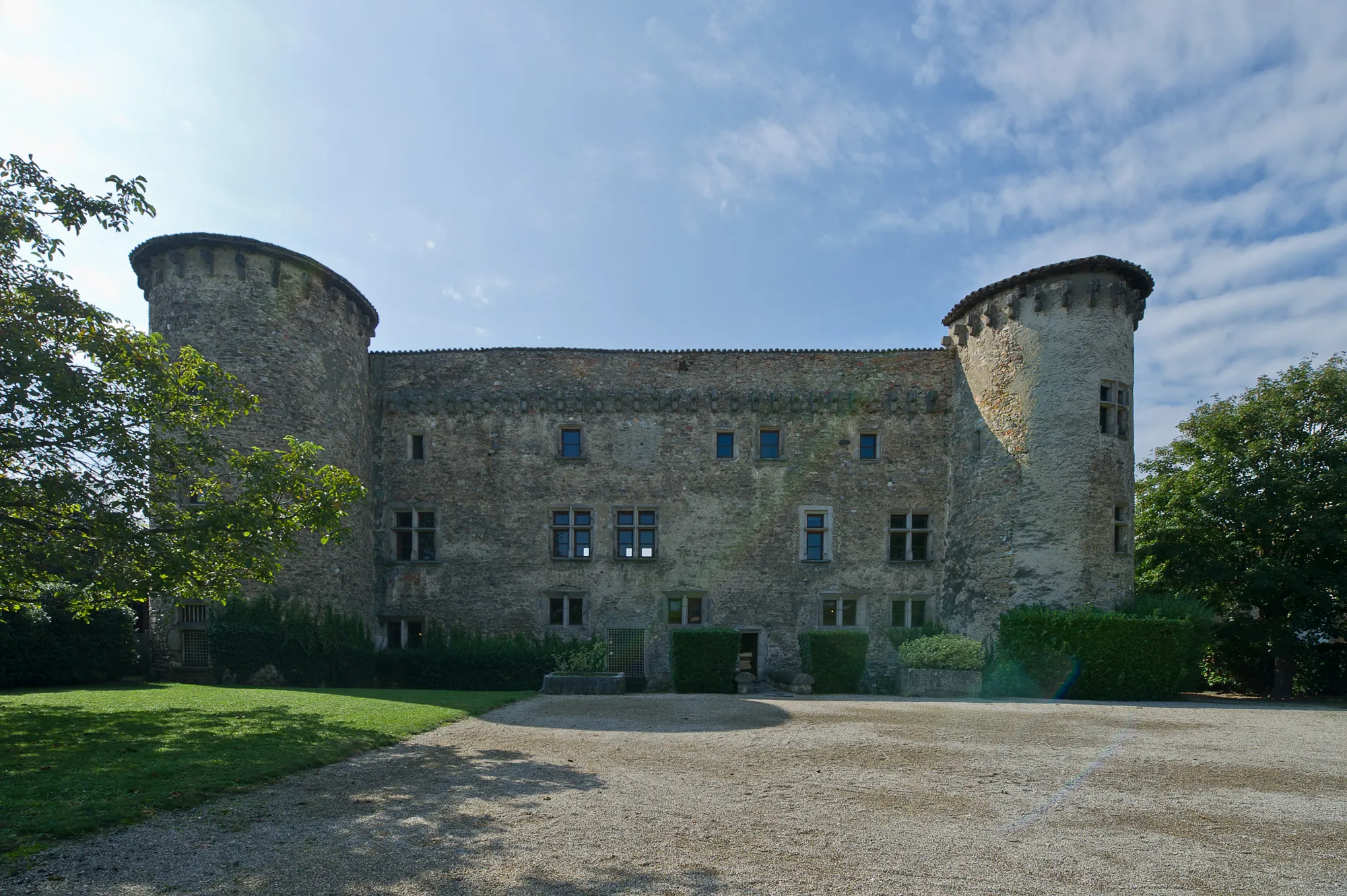
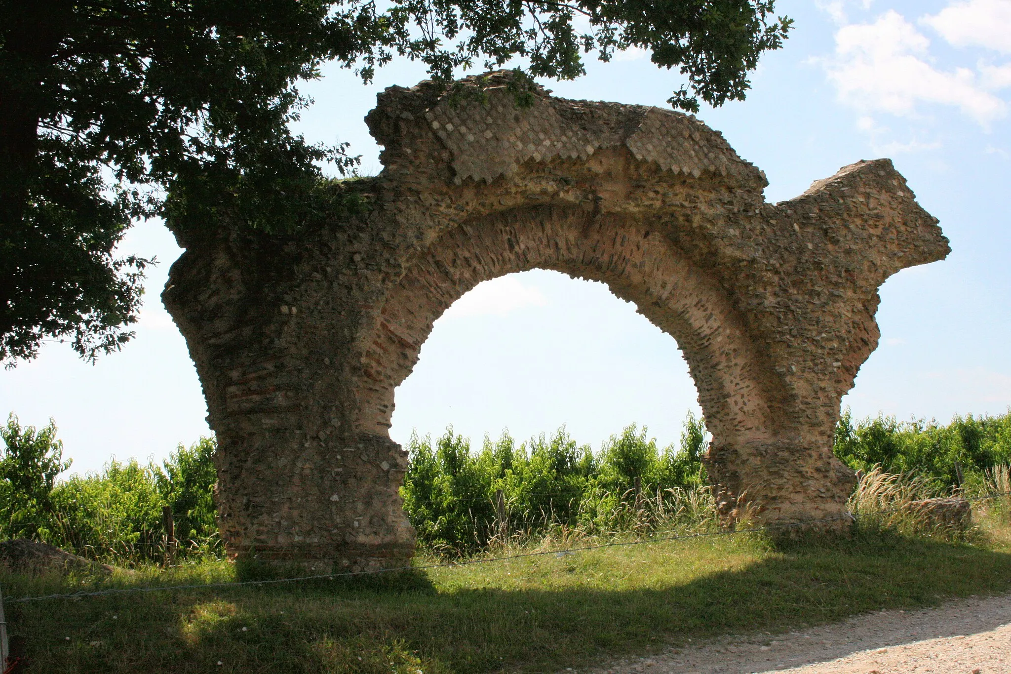
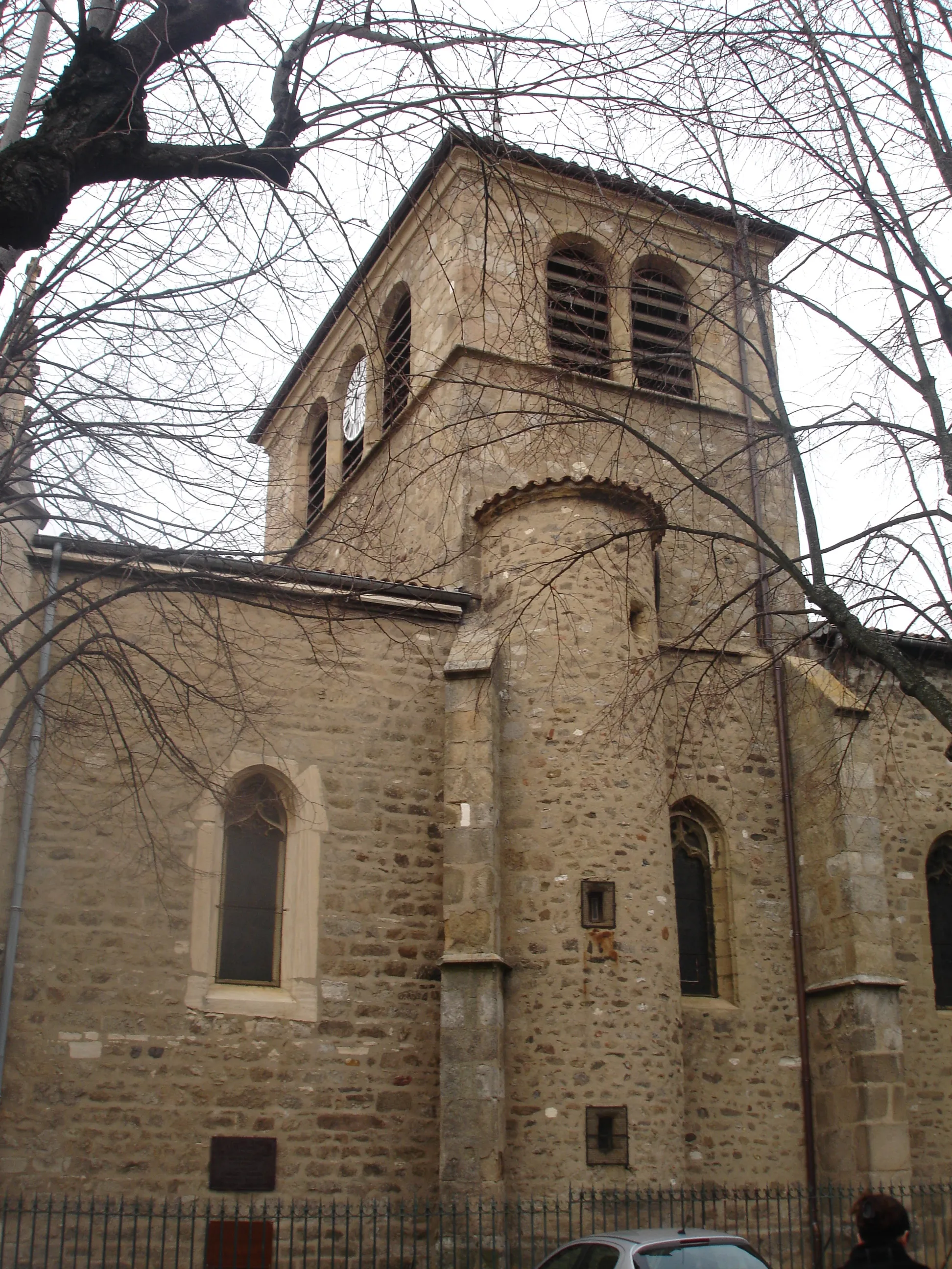
Mornant is a commune located in the Rhône-Alpes region of France. From a cyclist's perspective, the locality offers a mix of challenging climbs and scenic routes through rolling hills. The surrounding region is known for its vineyards and charming villages, providing a picturesque backdrop for cyclists. The nearby Monts du Lyonnais offers challenging climbs that attract both amateur and professional cyclists. Mornant ranks 4 in terms of cycling suitability and tourism, thanks to its varied terrain and proximity to renowned cycling areas.
East Lyon Explorations
Explore the eastern suburbs of Lyon and enjoy scenic views of the Monts d'Or and the Jura Mountains.
This road cycling route takes you through the eastern suburbs of Lyon, offering stunning views of the Monts d'Or and the Jura Mountains. With a total ascent of 916 meters, this route is suitable for experienced cyclists. The 123-kilometer distance ensures a challenging ride with plenty of opportunities for scenic photo stops
Discover the rugged beauty of Bellegarde-en-Forez on this thrilling gravel adventure with a total ascent of 1702 meters.
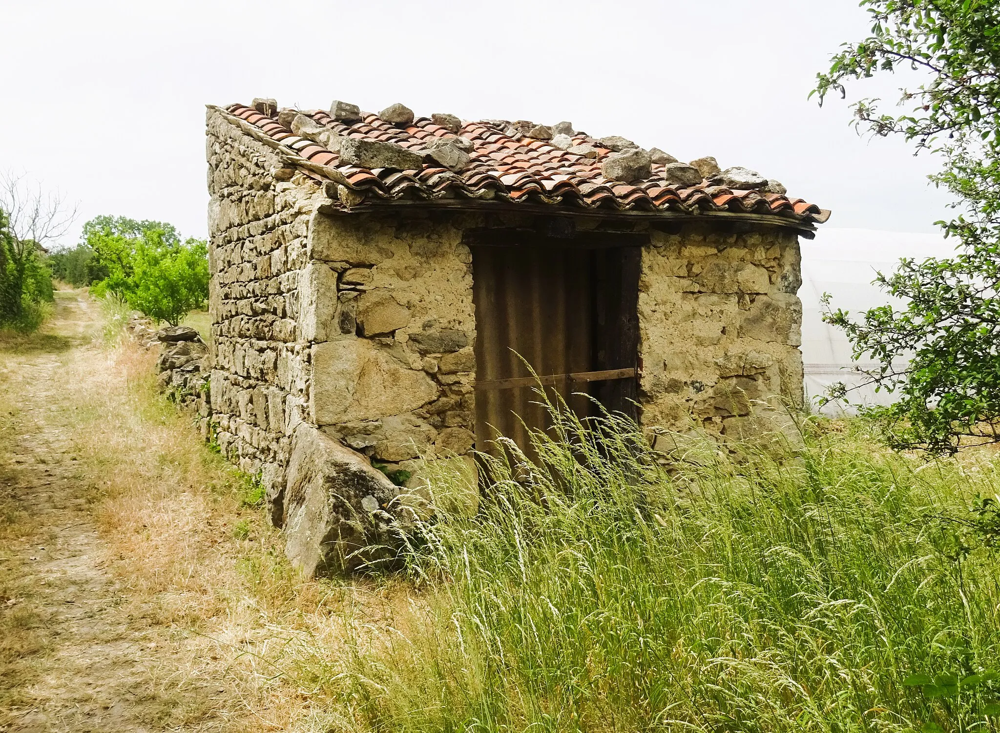
This gravel cycling route promises a thrilling adventure in the rugged countryside of Bellegarde-en-Forez. Covering a distance of 99 kilometers, this route is ideal for cyclists seeking a mix of stunning landscapes and challenging terrain. Traverse off-road trails, conquer steep ascents, and explore picturesque villages along the way. The difficulty level of this route is rated at 4 out of 5, making it suitable for adventurous cyclists with a good level of fitness. The epicness of this route is rated at 3 out of 5, delivering beautiful scenery and the opportunity to venture off the beaten path.
Experience the beautiful countryside of Mornant on this road cycling route that takes you to Chaussan and Crêt du Bouchat.
This road cycling route is a perfect choice for intermediate level cyclists who enjoy challenging climbs and stunning views. Starting near Mornant, the route offers a variety of highlights including the charming village of Chaussan and the panoramic view from the summit of Crêt du Bouchat. Throughout the 58-kilometer journey, you can expect a total ascent of 1161 meters, making it a moderately difficult ride for experienced cyclists. The epicness of this route is rated at 3 out of 5, providing a rewarding adventure without being too overwhelming.
Embark on a scenic gravel adventure that takes you through beautiful landscapes and charming villages.
This gravel cycling route offers a unique adventure through picturesque landscapes and charming villages. With a total ascent of 684 meters, this route provides a moderate level of difficulty suitable for all skill levels. The 59-kilometer distance ensures a day filled with exploration and breathtaking views.
Discover the hidden gem of Brussieu and enjoy the magnificent views from Col de la Luère.
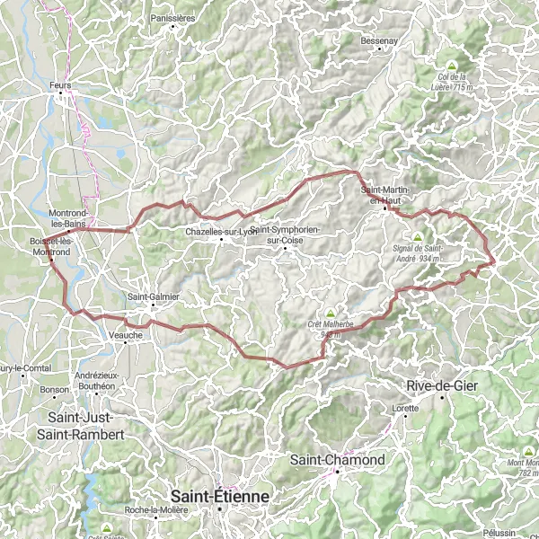
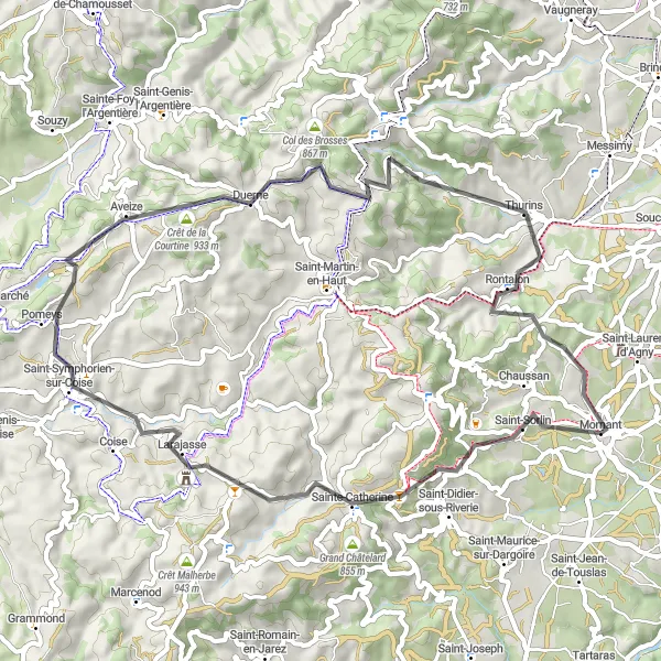
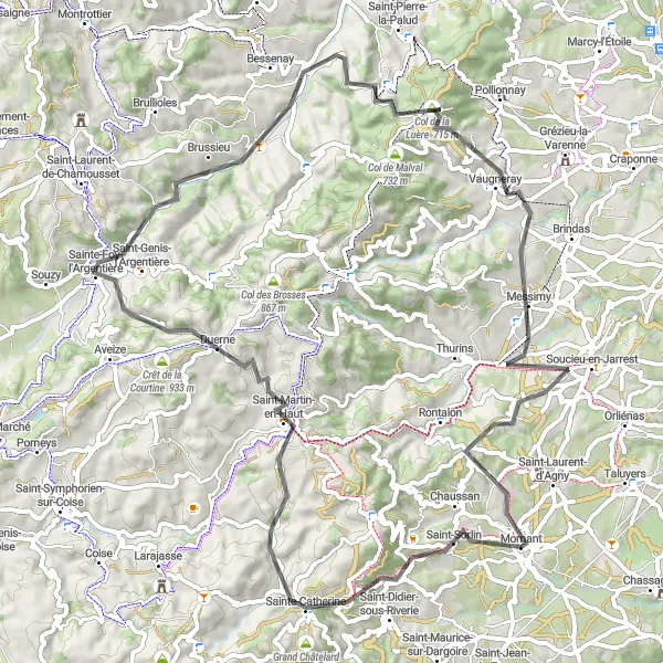
The Brussieu Adventure is a thrilling cycling route that takes you through the stunning landscapes near Mornant. With a total distance of 75 km and an ascent of 1474 meters, this road route is perfect for intermediate cyclists who are looking for a mix of challenging climbs and scenic descents. The highlight of the route is the village of Brussieu, a hidden gem that offers a unique blend of tranquility and natural beauty. Other highlights include Table d'orientation, Sainte-Catherine, Saint-Martin-en-Haut, and Le Crêt des Fées. The route also includes the Col de la Luère, a renowned climb that offers sweeping views of the surrounding mountains. Overall, the Brussieu Adventure is a memorable cycling experience that showcases the best of Rhône-Alpes.
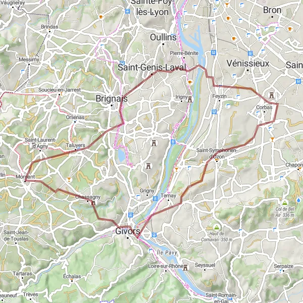
Ride through picturesque villages and enjoy stunning views
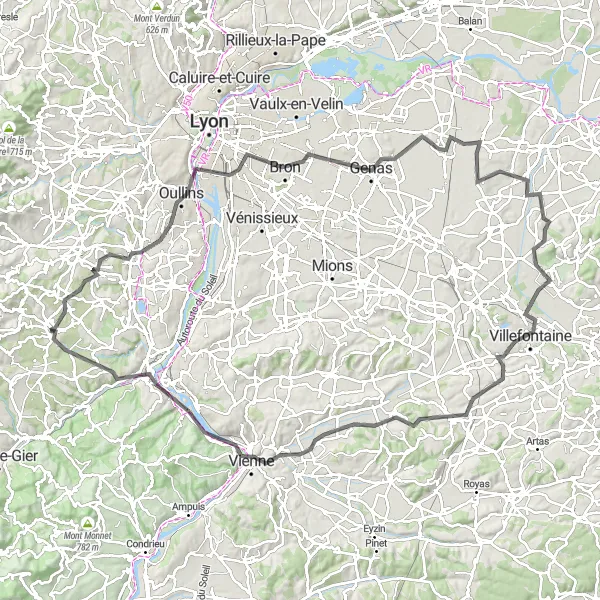
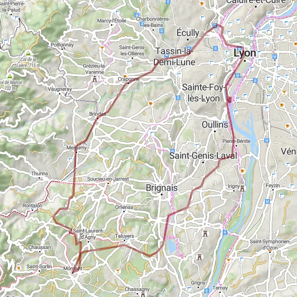
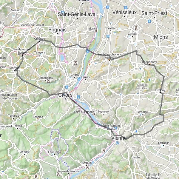
This road cycling route starts in Mornant and takes you through charming villages and beautiful scenery. You'll pass by Saint-Laurent-d'Agny, a small village known for its historic church and quaint streets. Charly is another highlight along the route, where you can admire the traditional French architecture. As you continue, you'll reach Luzinay, a village with a rich culinary heritage. The route also includes a stop at the Belvédère de Pipet, a viewpoint offering panoramic views of the surrounding countryside. Don't miss Vienne, a historic city with Roman ruins and a vibrant atmosphere. The final highlight is Givors, known for its industrial heritage and impressive architecture. Overall, this road cycling route is of intermediate difficulty (3 out of 5) and offers a great mix of scenic beauty, cultural attractions, and moderate challenges. It is rated 4 out of 5 for epicness, as it showcases the best of the Rhône-Alpes region.
Montrottier Loop
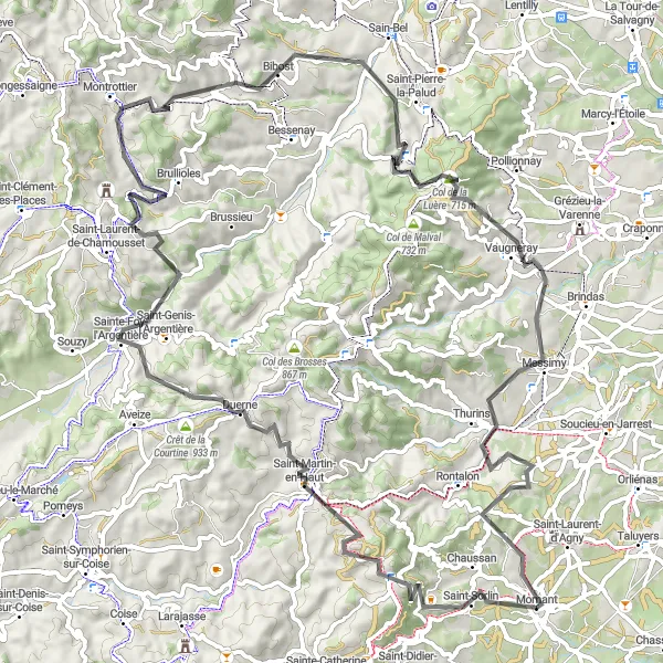
Explore the charming Montrottier village and conquer the challenging Col de la Luère.
The Montrottier Loop is a picturesque cycling route that takes you through the beautiful countryside near Mornant. With a total distance of 88 km and an ascent of 1989 meters, this road route is perfect for experienced cyclists looking for a challenge. The highlight of the route is the Montrottier Castle, a medieval fortress perched on a hilltop. Other highlights include Chaussan, Signal de Saint-André, Le Crêt des Fées, and Sainte-Foy-l'Argentière. The route also includes the Col de la Luère, a demanding climb that rewards you with stunning views at the top. Overall, the Montrottier Loop offers a great mix of natural beauty and historic landmarks.
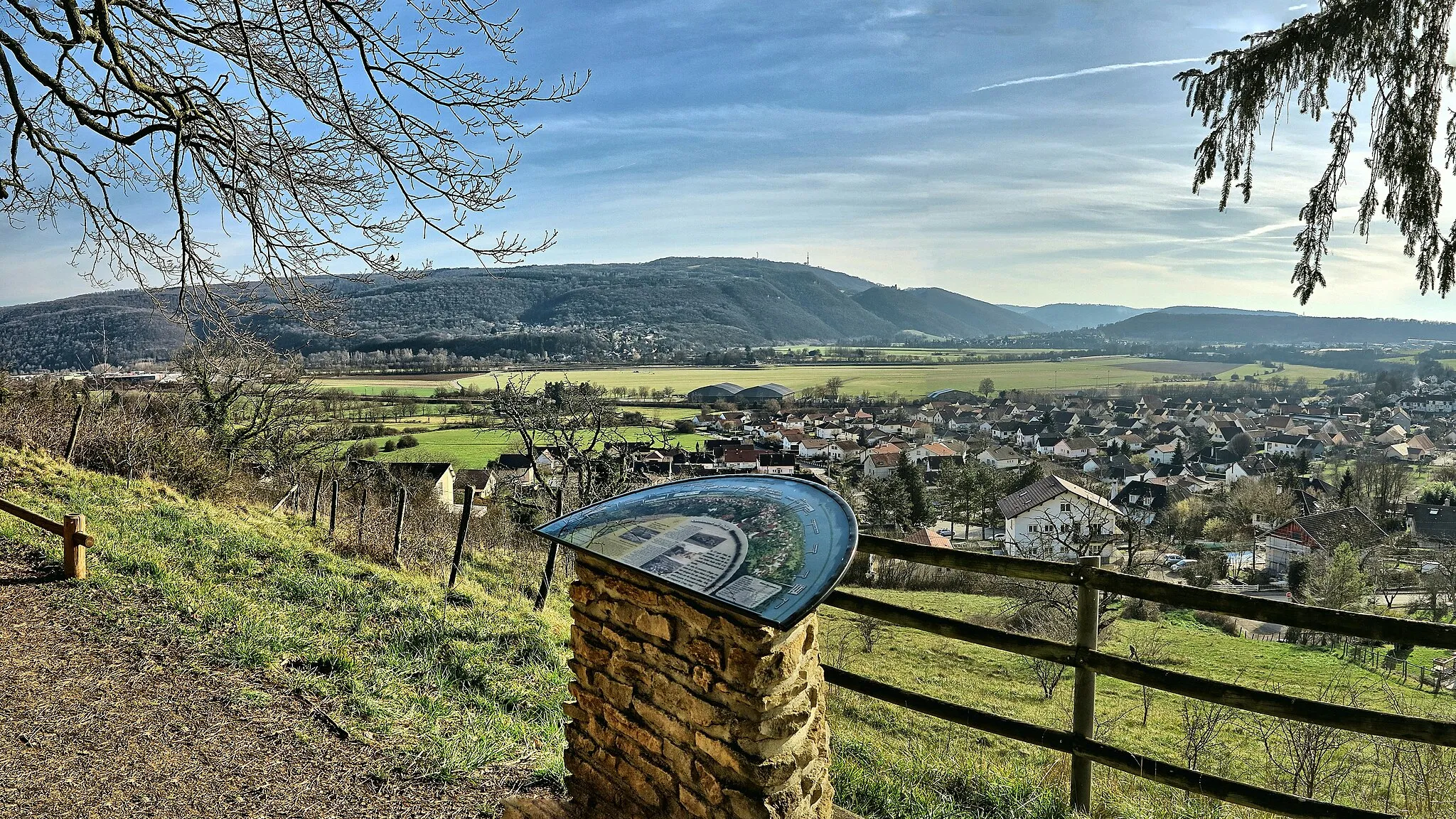
Exploring the Rhône Valley
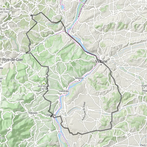
Discover the beauty of the Rhône Valley and its charming towns and villages.
This road cycling route takes you along the scenic Rhône Valley, where you will pass through charming towns and villages. With a total ascent of 1282 meters, this route offers a moderate level of difficulty and is suitable for well-trained amateurs. The 98-kilometer distance ensures a day filled with cultural and scenic exploration.
Discover the hidden gems and scenic beauty of Mornant and its surrounding areas on this gravel cycling route.
This gravel cycling route takes you through the charming town of Mornant and its surrounding areas, offering breathtaking views of the countryside. With a total ascent of 601 meters, this route is suitable for all skill levels. The 57-kilometer distance ensures a leisurely ride filled with exploration and discovery.
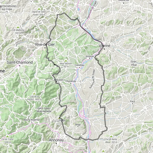
Ride through the picturesque Beaujolais vineyards and enjoy scenic landscapes of the Pilat National Park.
This challenging road cycling route takes you through the beautiful Beaujolais vineyards, known for their excellent wines. The route also offers stunning views of the Pilat National Park, with its rugged mountains and dense forests. With a total ascent of 1640 meters, this route is suitable for well-trained amateurs looking for a challenging ride. The 138-kilometer distance ensures a day full of adventure and exploration.
Cycling routes nearby:
Nearby regions: