Discovering the hidden cycling gems of Taluyers
Cycling routes from Taluyers
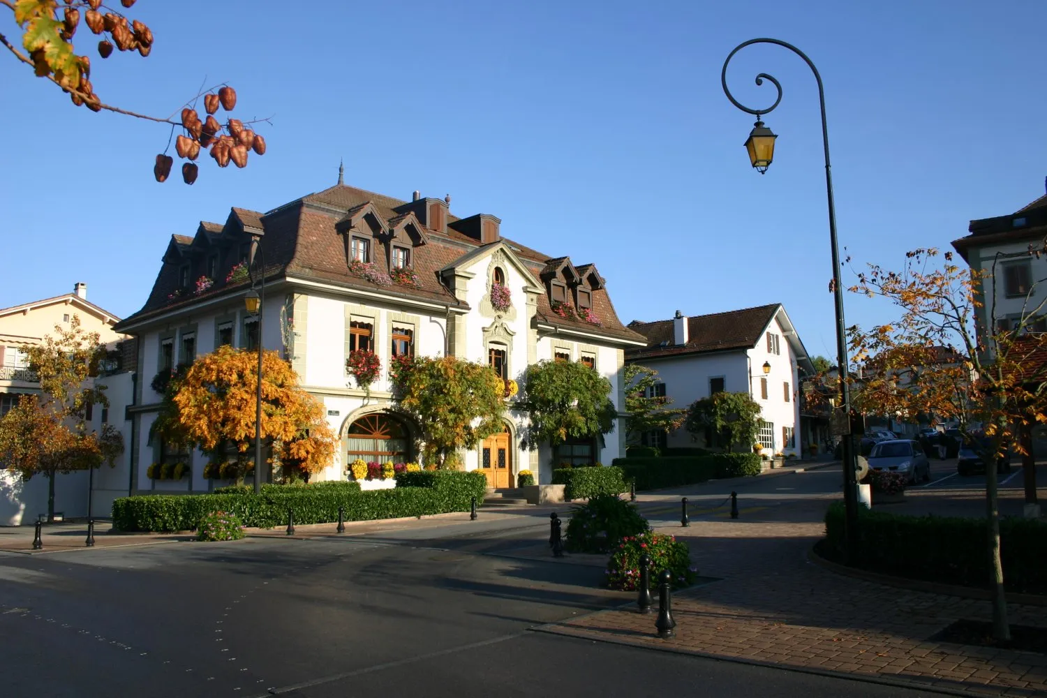
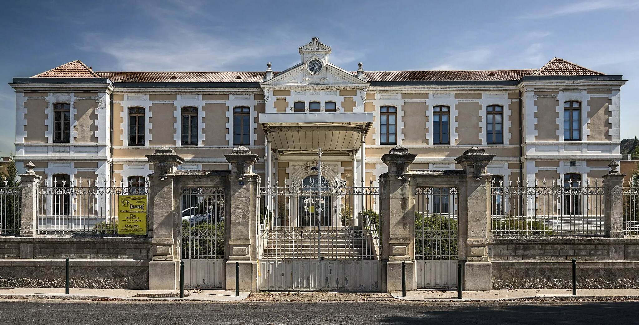
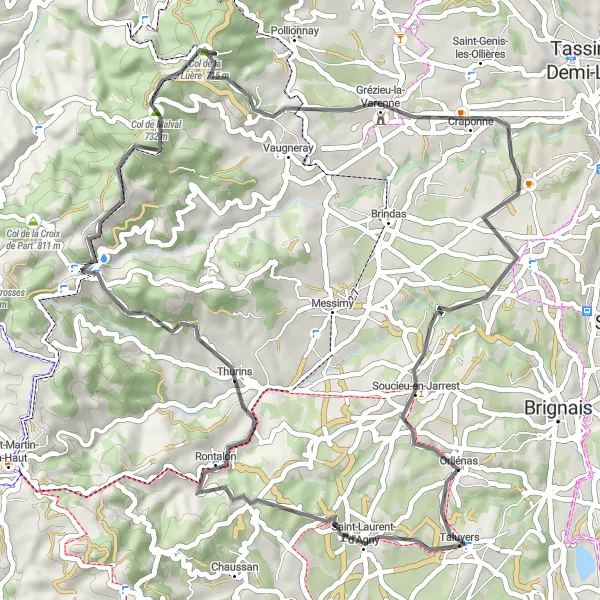
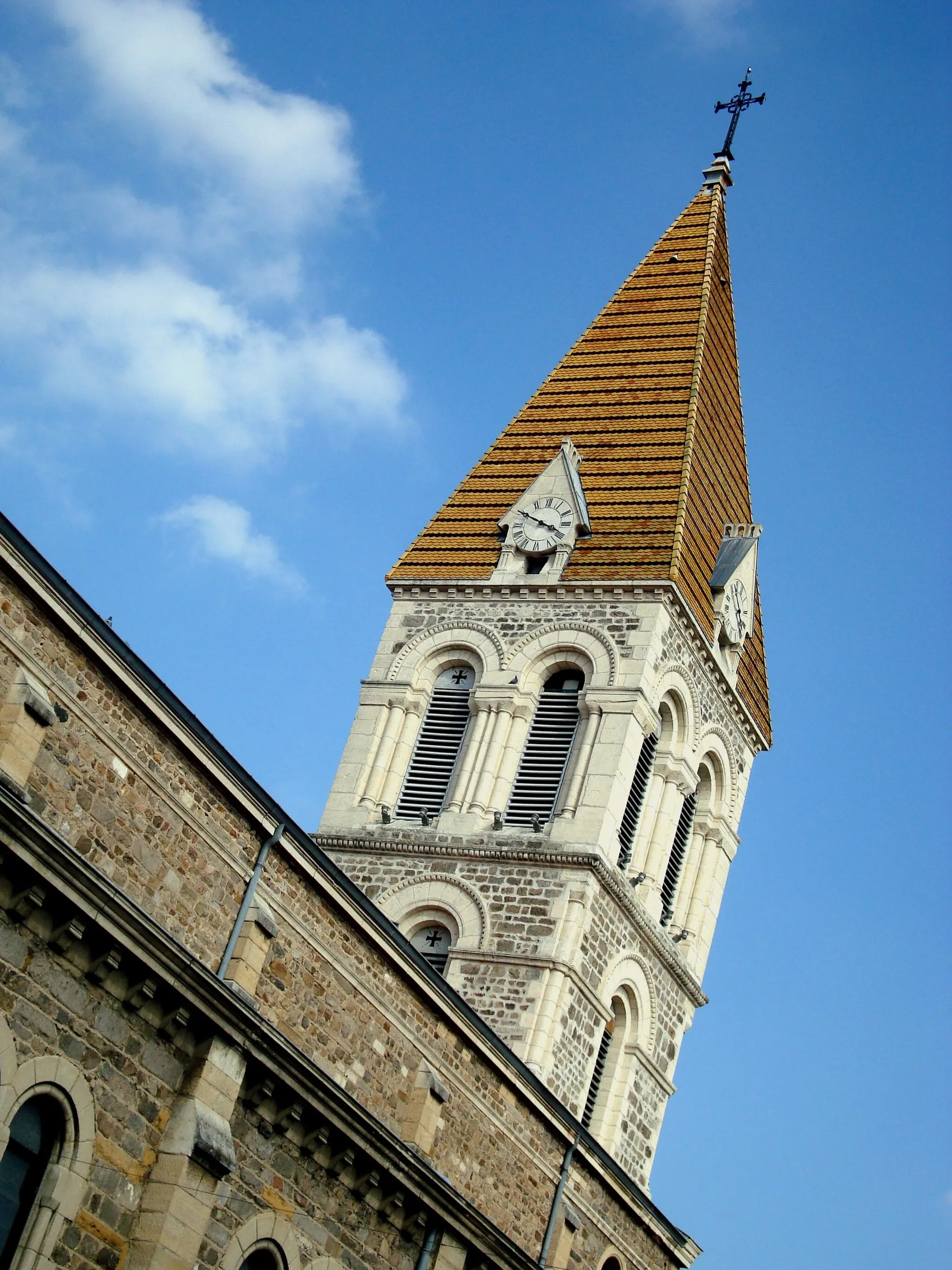
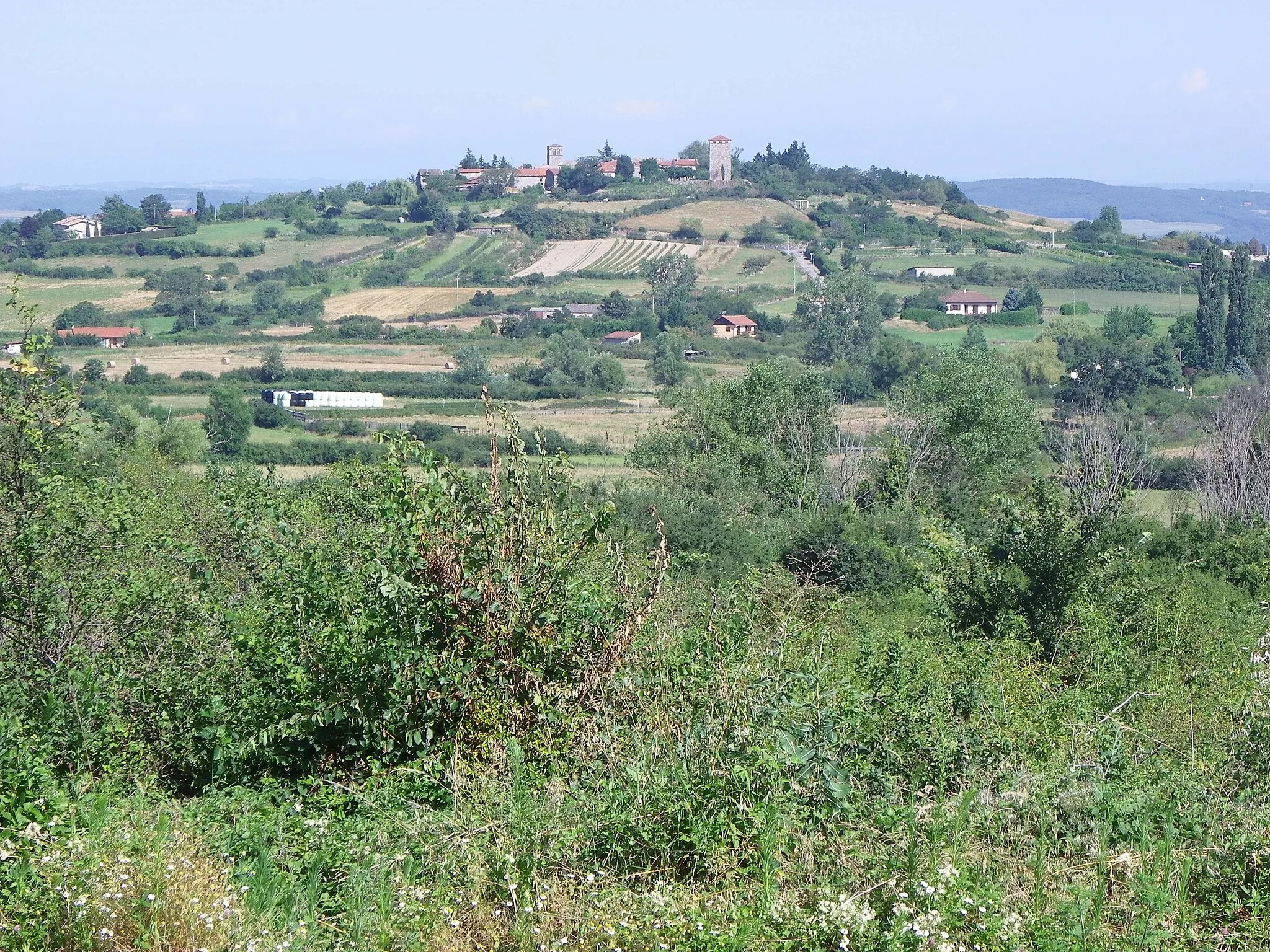
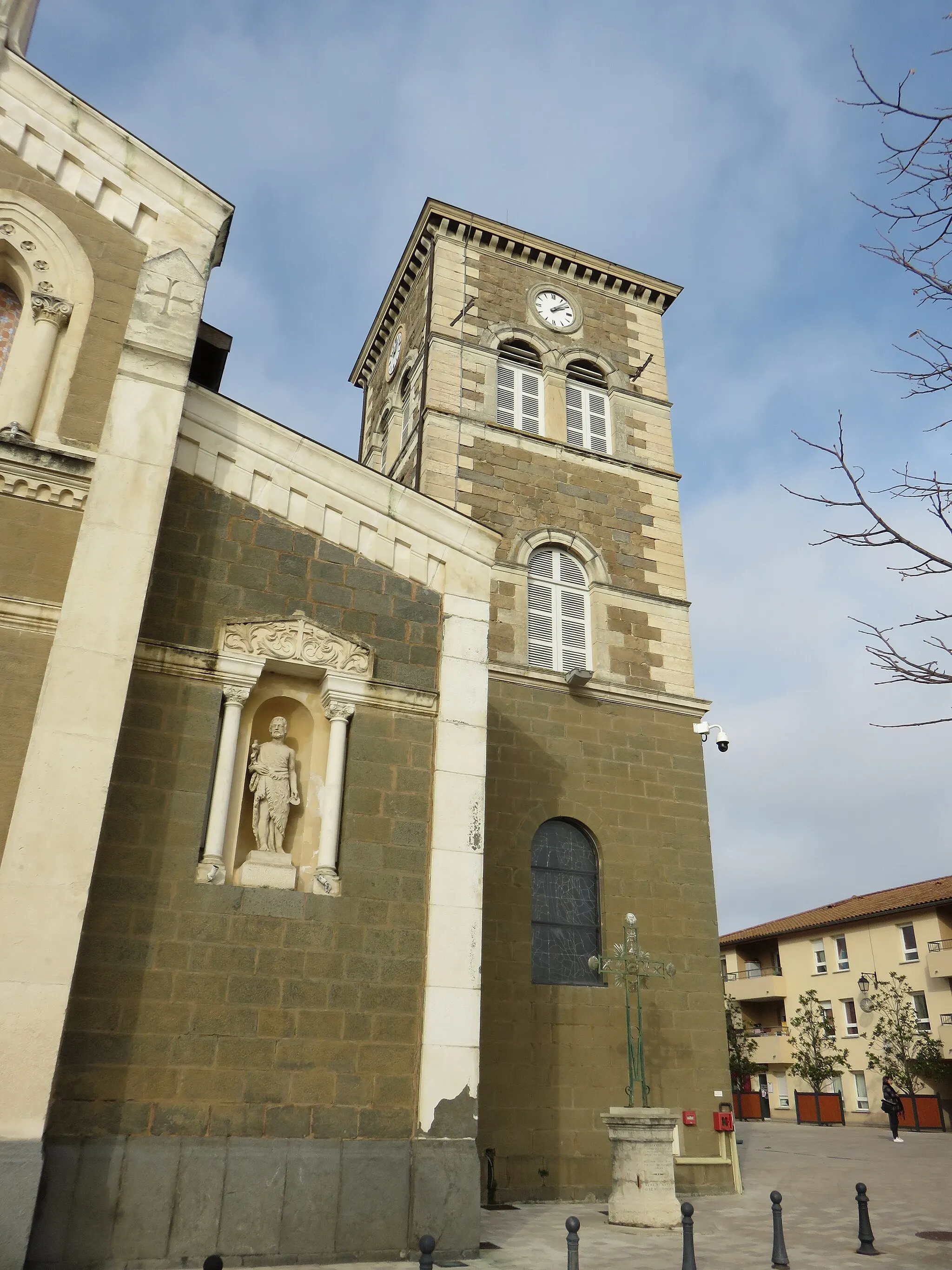
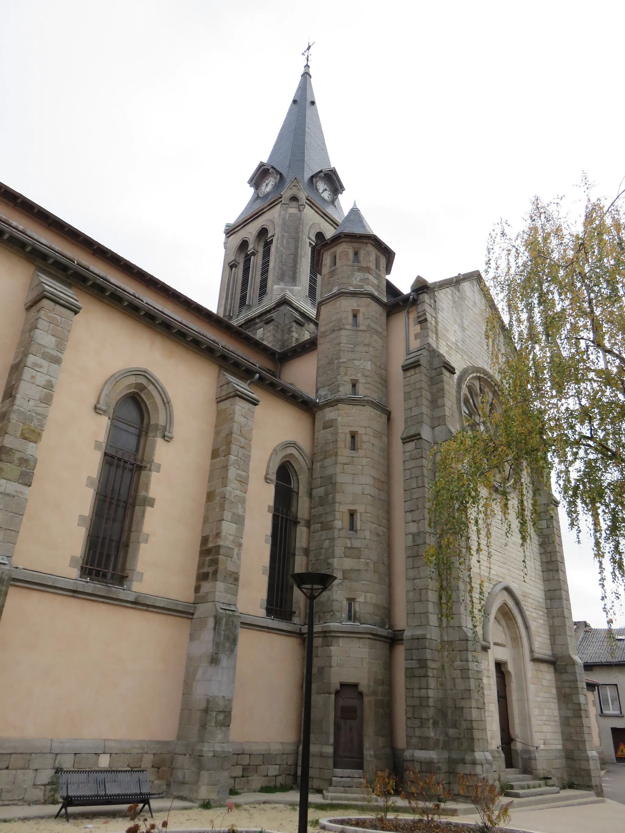
Taluyers is a peaceful town located in the Rhône-Alpes region of France. Cycling enthusiasts will find a variety of pleasant roads and gravel paths to explore in and around Taluyers. The town is surrounded by rolling hills and forests, providing both challenging climbs and serene routes for cyclists of all levels. A notable climb located nearby is the Col de la Luère, offering stunning panoramic views from the top and a rewarding challenge for cyclists.
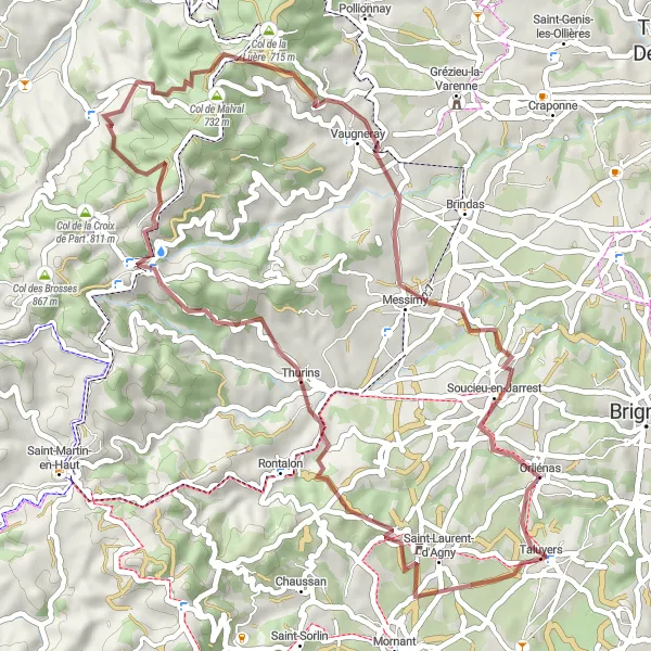
Explore the gravel roads and climb the Col de Chassenoud
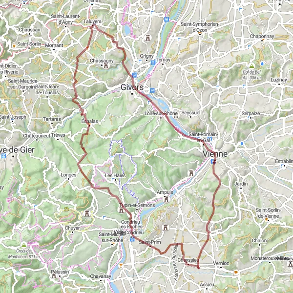
Embark on a thrilling gravel adventure starting near Taluyers. This 73 km route takes you through picturesque landscapes and challenging terrains. The highlight of the route is the Col de Chassenoud, where you can test your climbing abilities and enjoy breathtaking views from the summit. Overall, this off-road route offers a great mix of nature, challenge, and scenic panoramas.
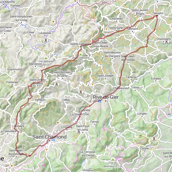
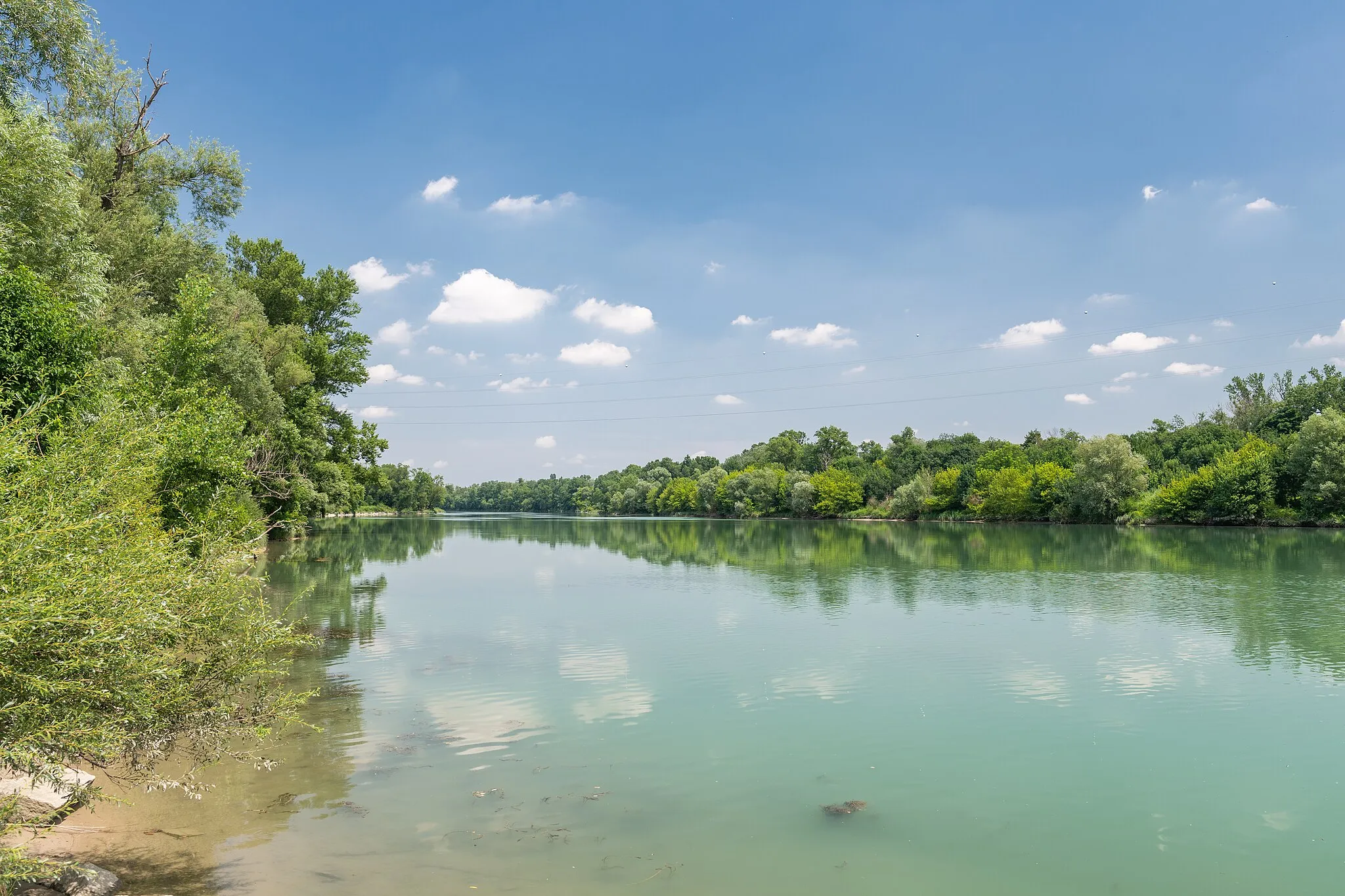
Taluyers Gravel Adventure
Explore the countryside around Taluyers on this exciting gravel adventure
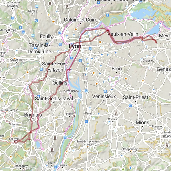
Embark on a thrilling gravel adventure through the picturesque countryside around Taluyers in Rhône-Alpes, France. This 74 km route offers stunning views and challenging terrain, with a total ascent of 646 meters. Experience the thrill of riding on gravel roads and discover hidden gems along the way.
Conquer the mountains and enjoy breathtaking vistas
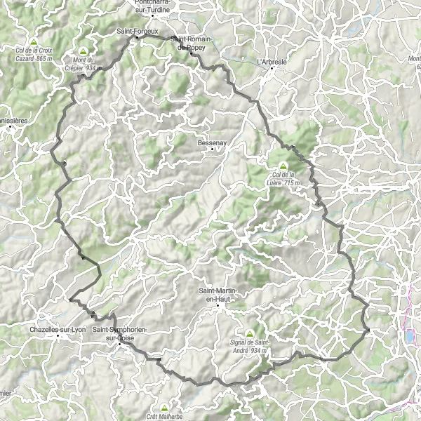
Embark on a challenging road cycling adventure starting near Taluyers. This 114 km route takes you through mountainous terrain and offers breathtaking vistas from the high points. The highlight of the route is the Grézieu-le-Marché, where you can take a moment to enjoy panoramic views of the surrounding landscapes. Overall, this route is recommended for experienced cyclists looking to test their limits on demanding climbs and be rewarded with stunning vistas at the top.
Through the Hilltops
Conquer the hills and enjoy panoramic views
Embark on a scenic road cycling journey starting near Taluyers. This 109 km route takes you through rolling hills and countryside, offering breathtaking panoramic views along the way. The highlight of the route is the Belvédère de Bourg, where you can take a moment to appreciate the stunning vista. Overall, this route showcases the natural beauty of the region and provides challenging uphill sections for experienced cyclists.
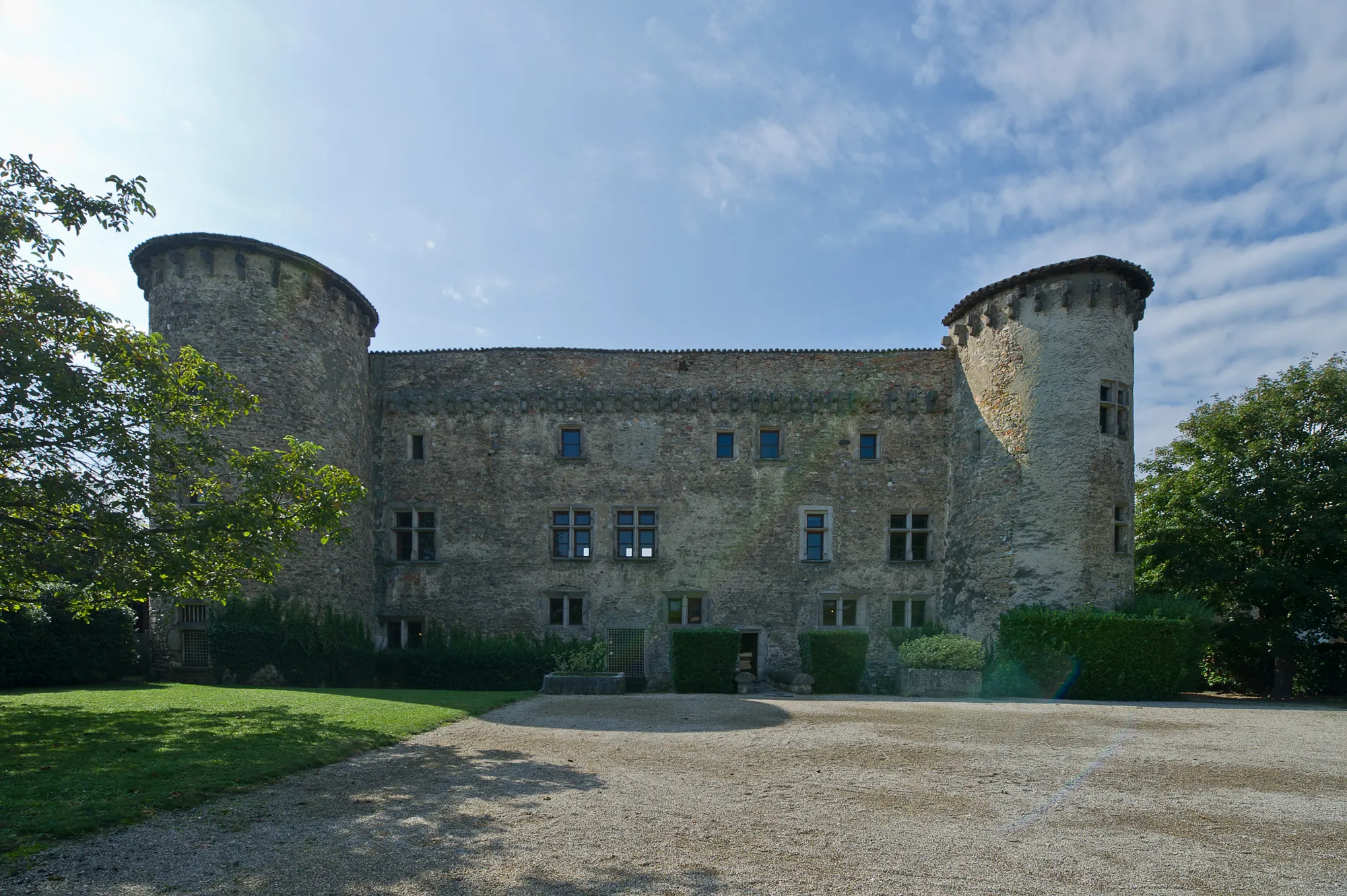
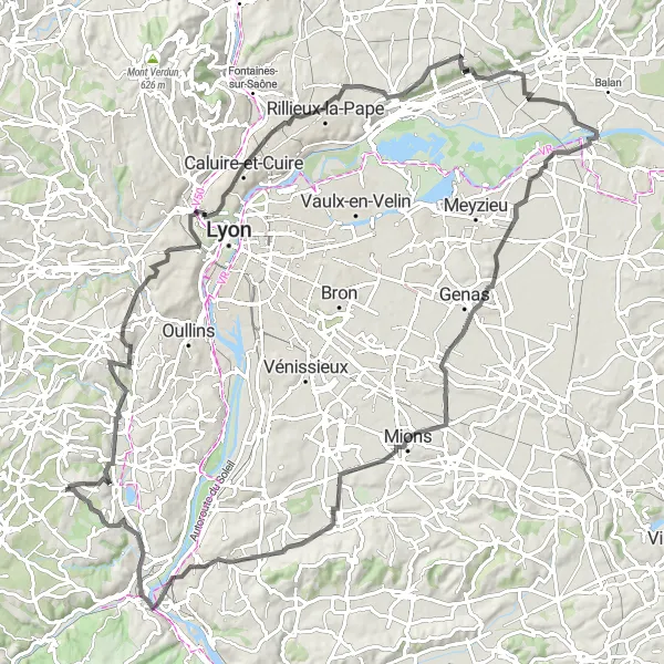
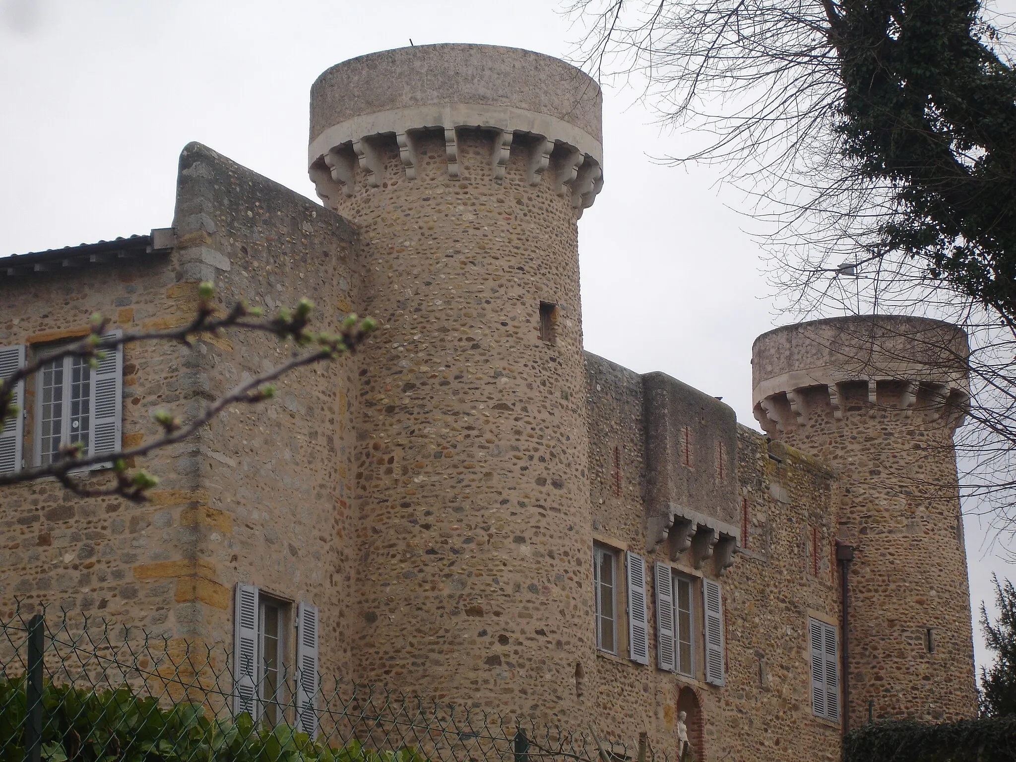
Cycle through breathtaking landscapes to Château Le Clos Bourbon
Embark on a scenic road cycling journey to Château Le Clos Bourbon. This 55 km route offers stunning landscapes and a challenging ascent of 1180 meters. Immerse yourself in nature as you ride through picturesque villages and discover the grandeur of Château Le Clos Bourbon.
Discover charming villages and enjoy scenic routes
Embark on a leisurely road cycling tour starting near Taluyers. This 48 km route takes you through the picturesque countryside, featuring charming villages and breathtaking landscapes. The highlight of the route is the Manoir du Grand-Perron, where you can admire the architecture of this historic manor. Overall, this route offers a pleasant cycling experience with moderate challenges and plenty of opportunities to immerse yourself in the beauty of the rural surroundings.
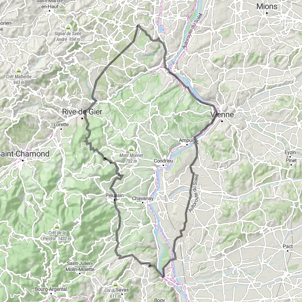
Explore the stunning valleys of Rhône-Alpes on this adventurous gravel route
Embark on an adventurous gravel journey through the exquisite valleys of Rhône-Alpes. This 75 km route offers breathtaking views and a total ascent of 1242 meters. Discover hidden gems and experience the beauty of this picturesque region.
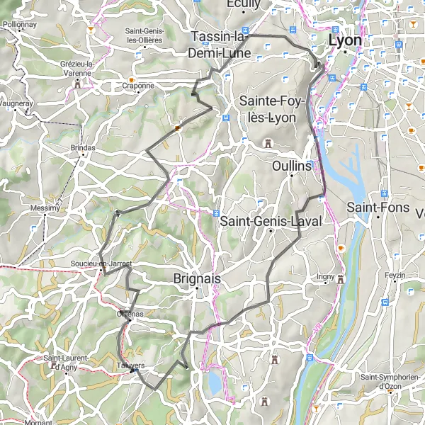
Experience panoramic views and challenging climbs
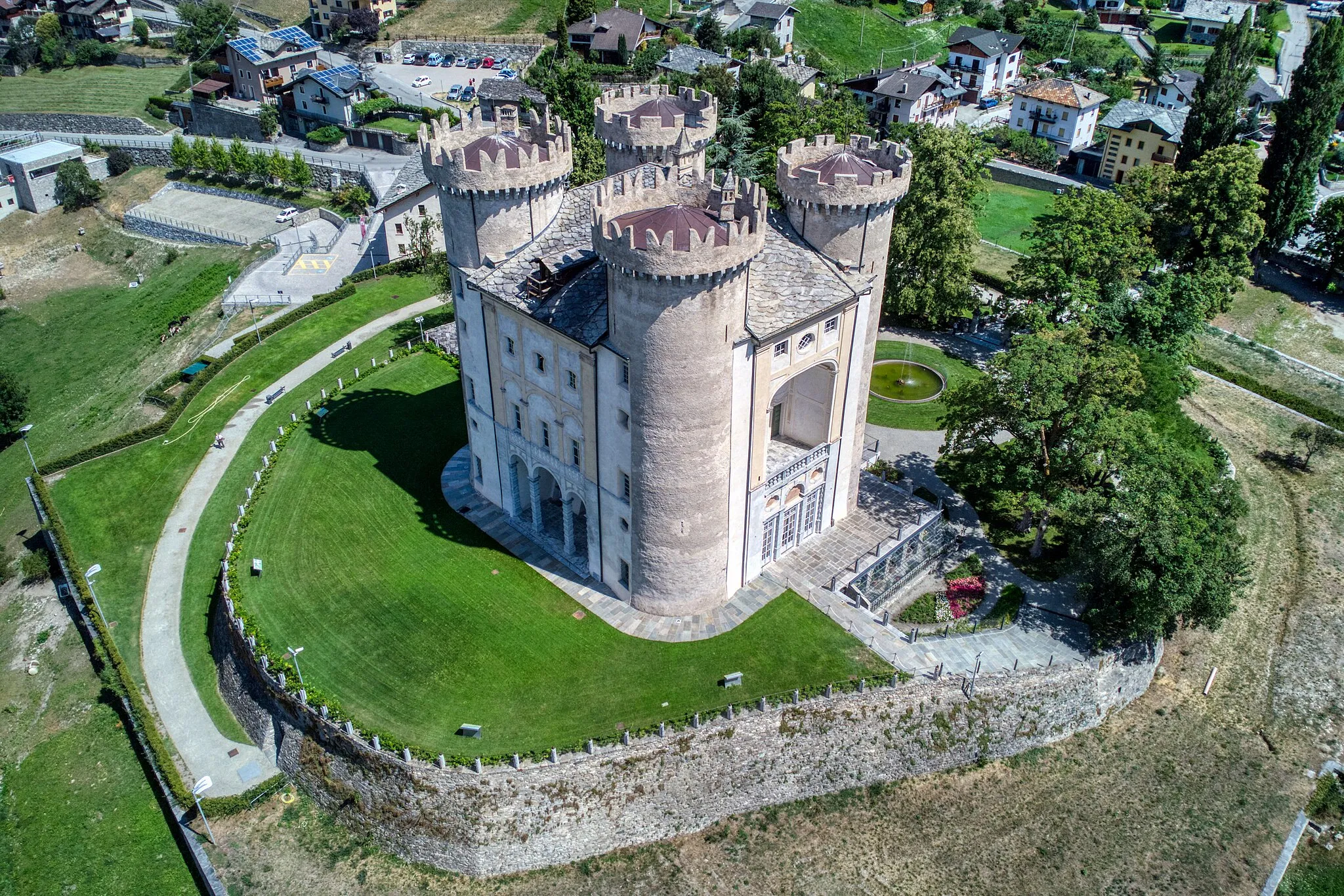
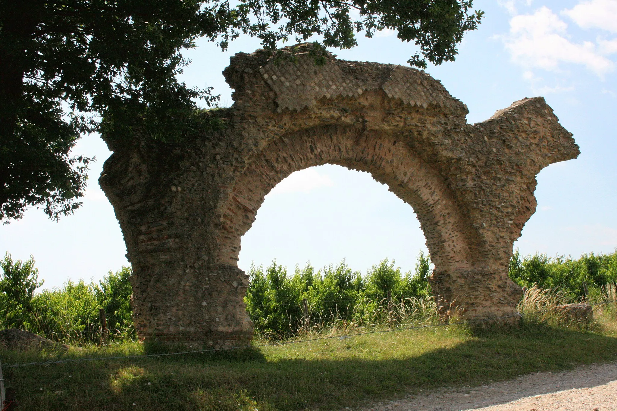
Embark on an unforgettable road cycling journey starting near Taluyers. This 104 km route takes you through scenic landscapes and offers breathtaking panoramic views from high altitude roads. The highlight of the route is the Château de Montlys, where you can admire the captivating architecture of this historic castle. Overall, this route combines challenging climbs with stunning vistas, providing a memorable and rewarding cycling experience.
Conquer the peaks of Rhône-Alpes on this challenging gravel route
Embark on an epic gravel journey through the stunning peaks of Rhône-Alpes. This 50 km route offers breathtaking mountain views and a total ascent of 1346 meters. Prepare for a challenging adventure that will test your limits and reward you with awe-inspiring scenery.
Road Cycling to Historic Sites
Discover historic sites on this scenic road cycling route through Rhône-Alpes
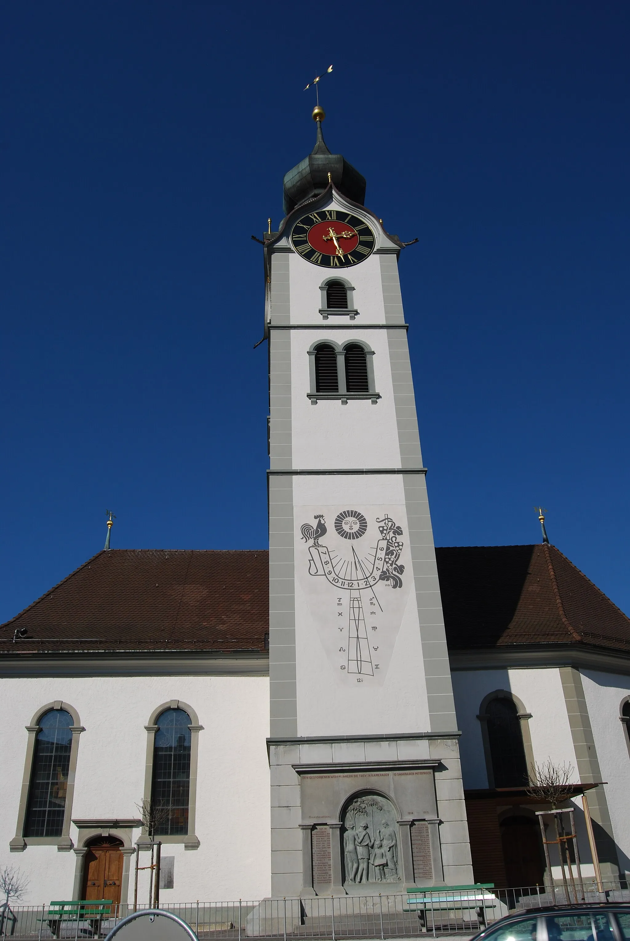
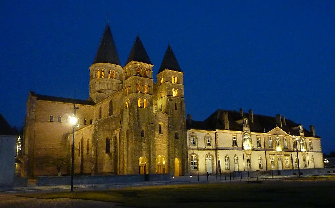
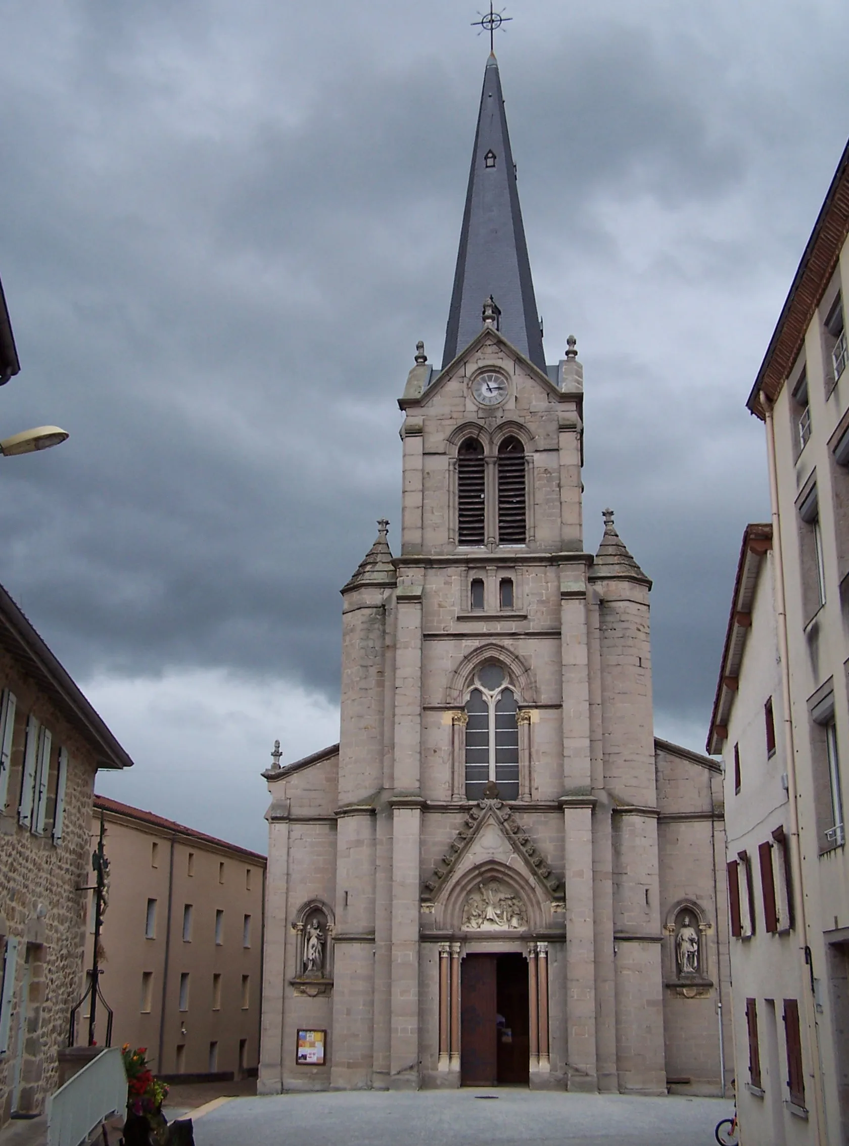
Embark on a scenic road cycling adventure through Rhône-Alpes, uncovering historic sites and magnificent viewpoints. This 65 km route offers a total ascent of 695 meters and showcases the rich cultural heritage of the region. Enjoy breathtaking views and immerse yourself in Rhône-Alpes' fascinating history.
Cycling routes nearby:
Nearby regions: