Scenic cycling routes and challenging climbs near Mont Brouilly.
Cycling routes from Brignais
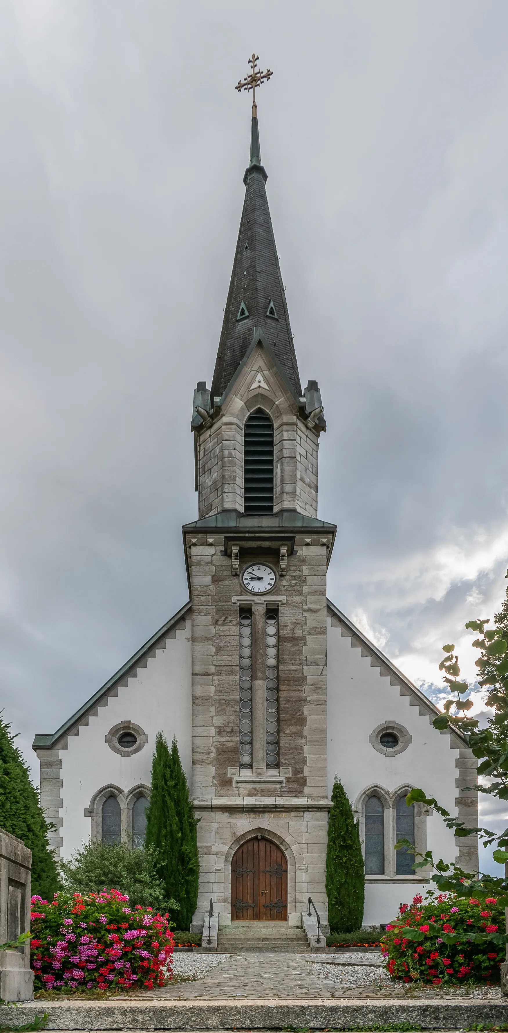
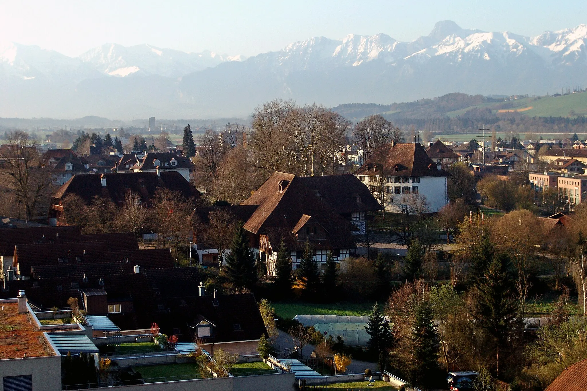
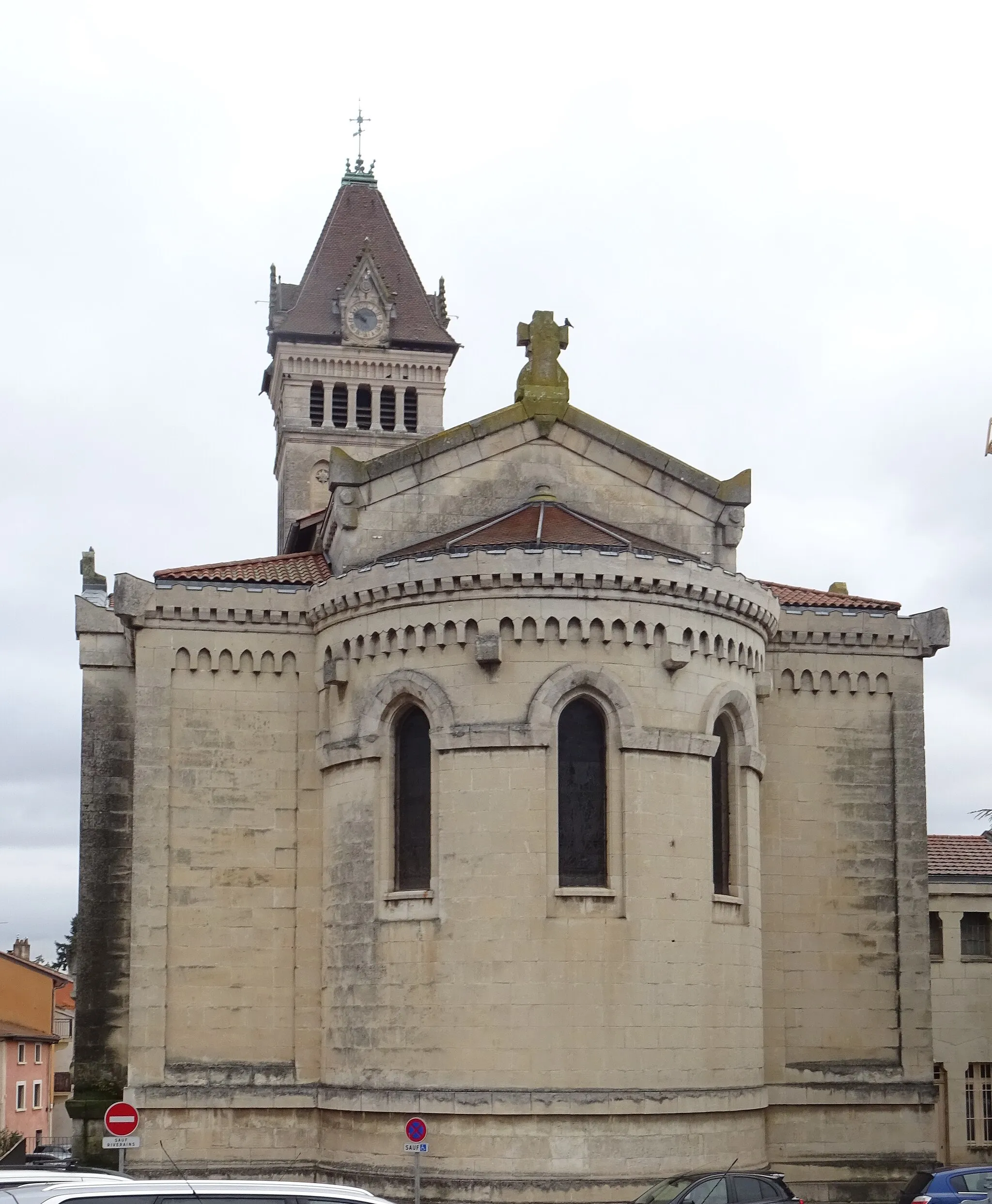
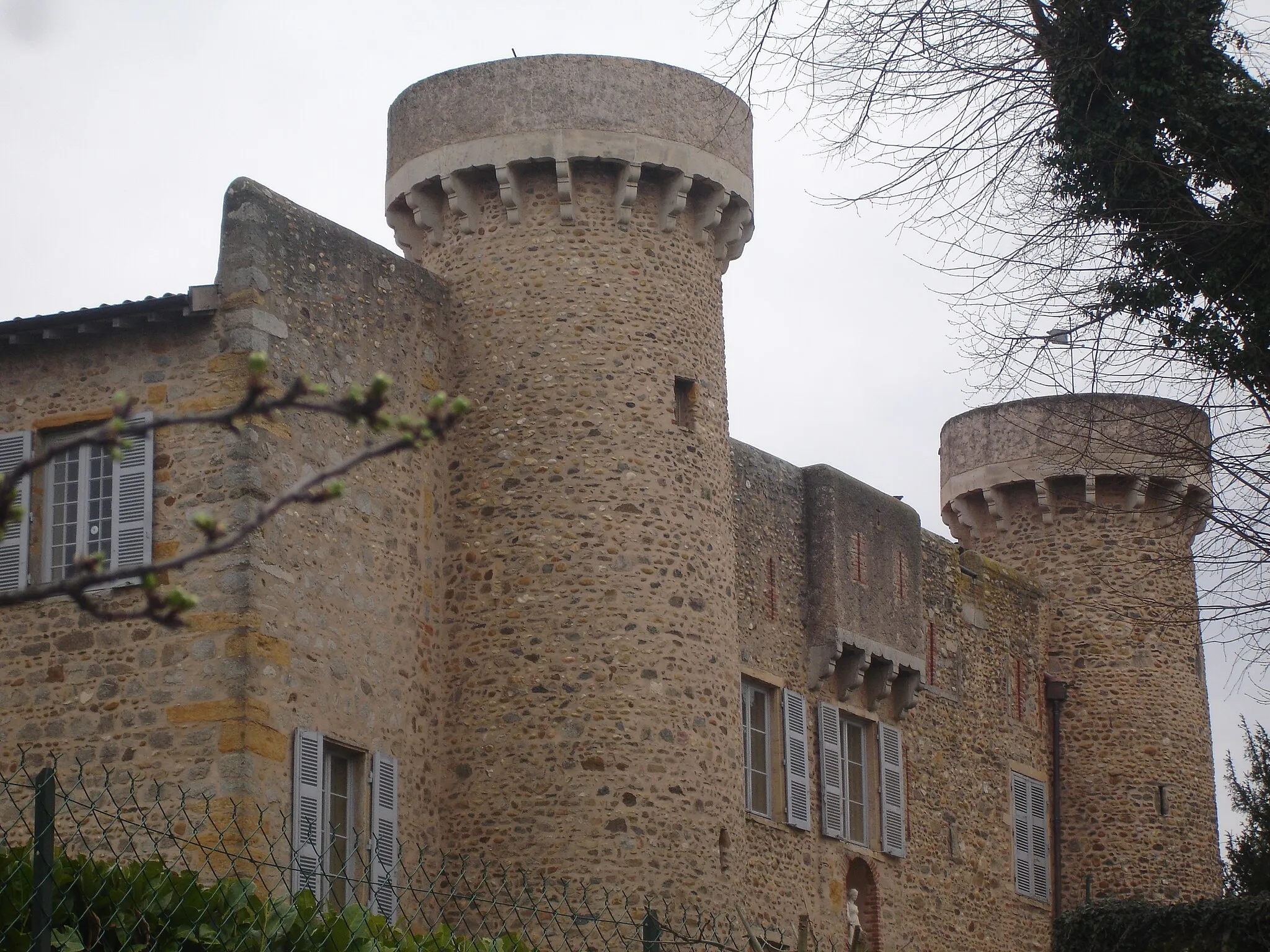
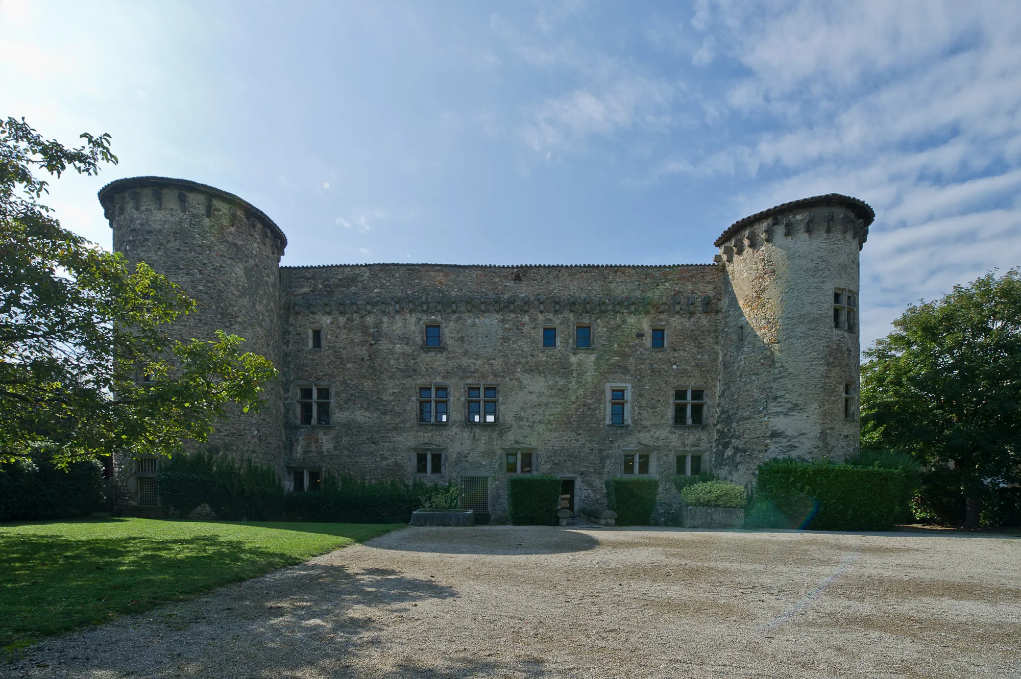
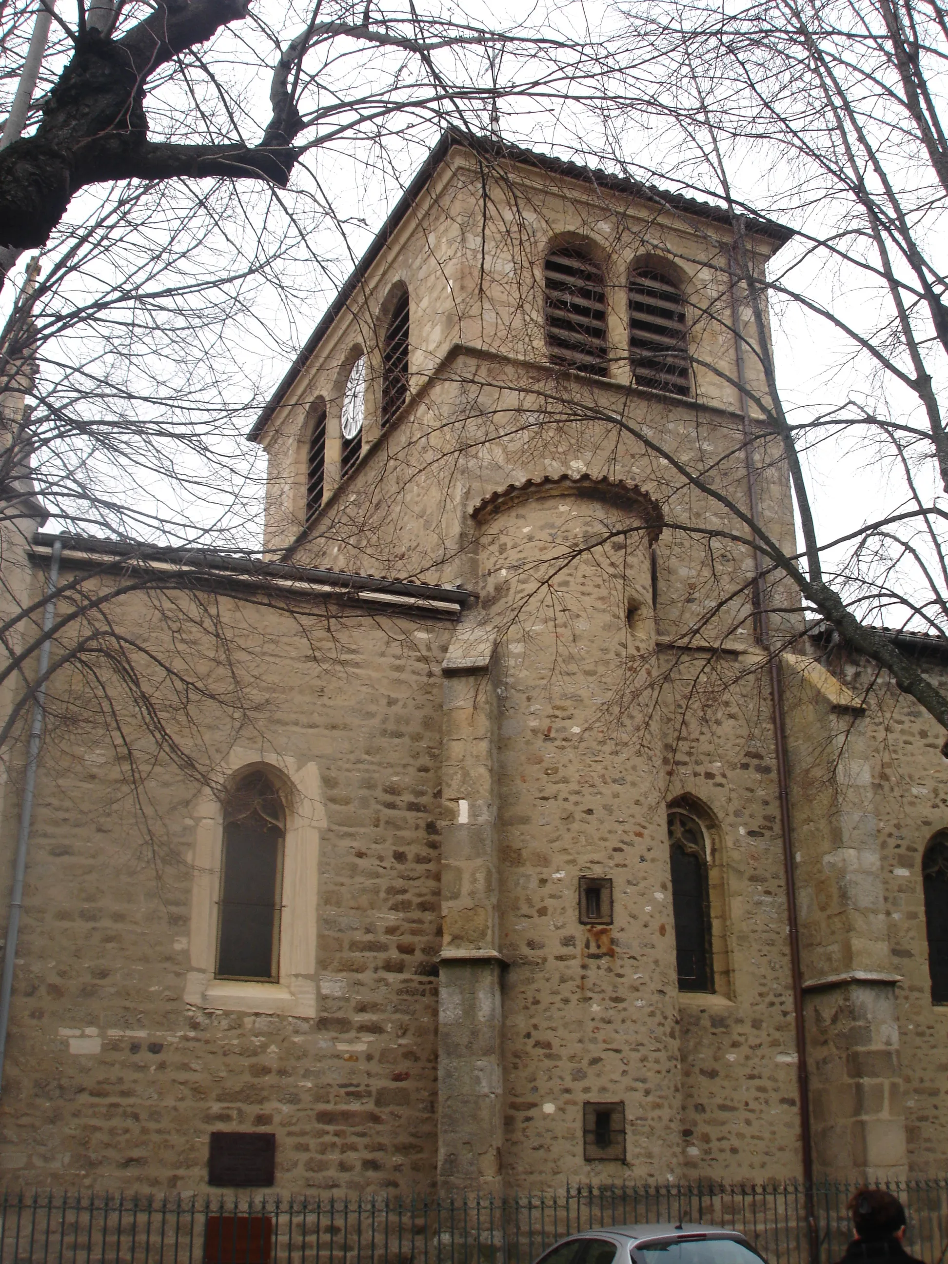
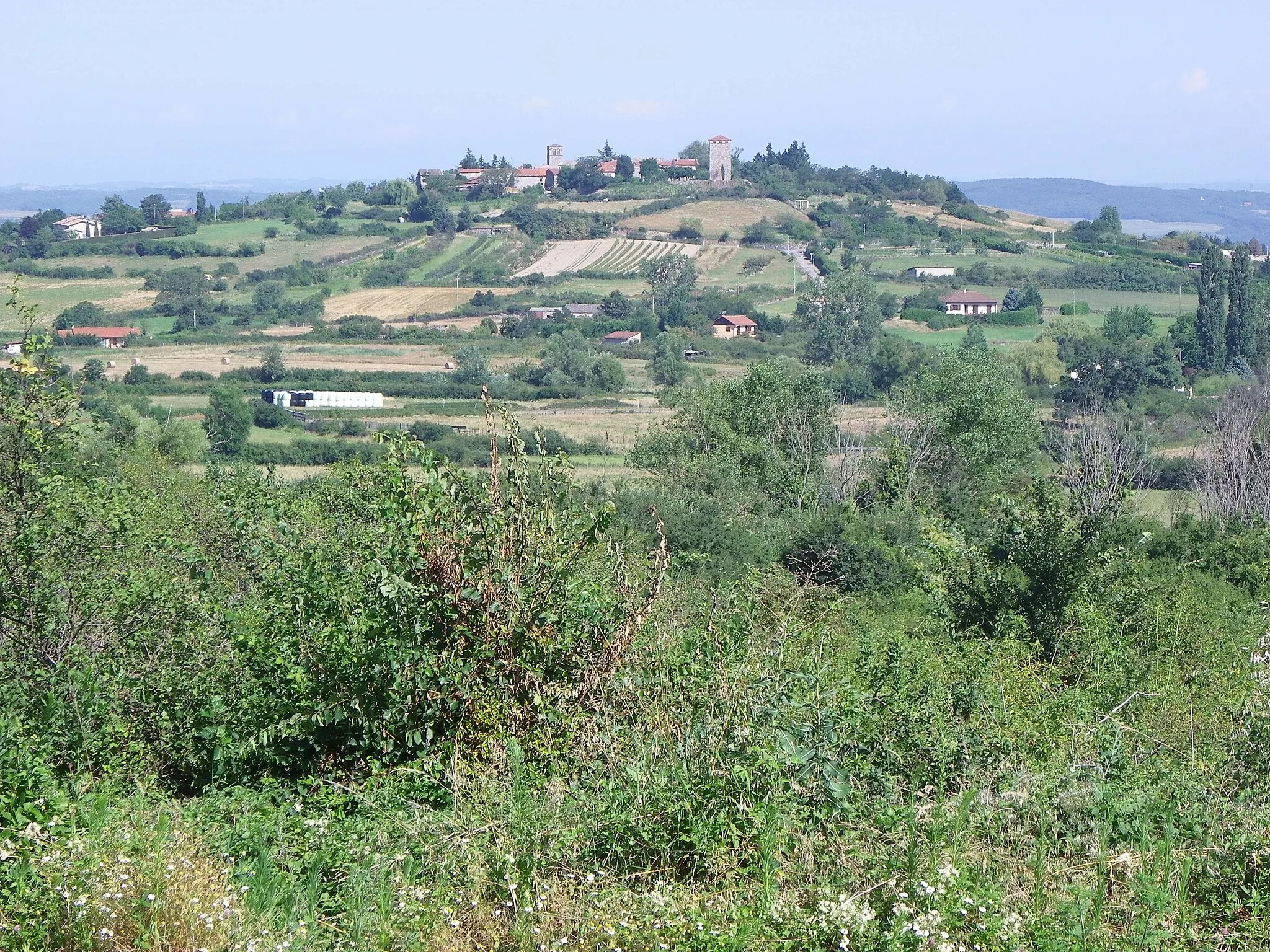
Brignais is a charming locality in the Rhône-Alpes region of France. It is suitable for both road and gravel cyclists, with well-paved roads and scenic routes. The highlight for cyclists is the nearby cycling climb, Mont Brouilly, which offers challenging gradients and breathtaking views. Brignais is also surrounded by beautiful countryside, making it an ideal destination for nature lovers. Overall, this locality provides a pleasant and enjoyable cycling experience.
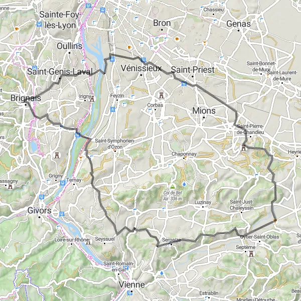
Embark on a challenging road cycling adventure through diverse landscapes.
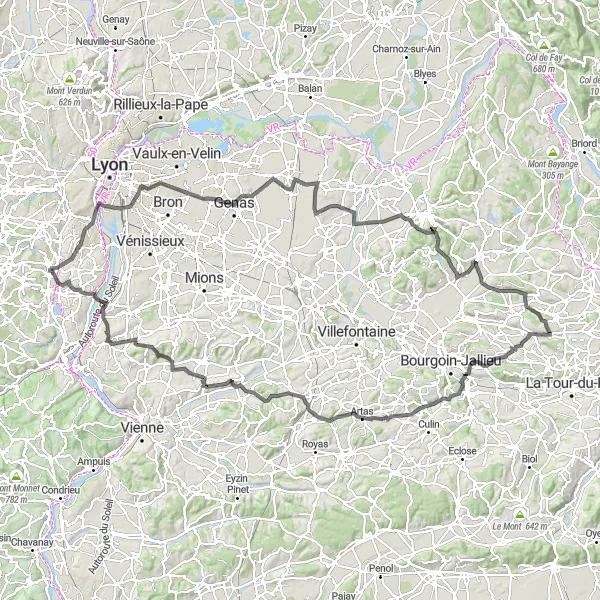
This road cycling route offers a challenging adventure through diverse landscapes, taking you from Brignais to Vourles. With an ascent of 1556 meters spread over 150 kilometers, this route is suited for experienced cyclists looking for a demanding ride. Highlights along the way include Gerland, a district of Lyon known for its vibrant atmosphere, and Genas, where you can immerse yourself in the rich history and architecture of the area. Overall, this route provides a dynamic cycling experience with breathtaking landscapes and a variety of attractions.
The Gravel Adventure
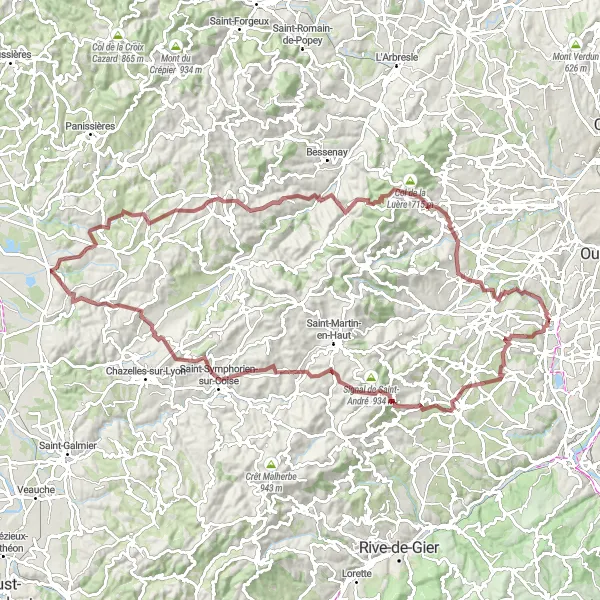
Unleash the adventurer within you on this challenging gravel route near Brignais.
This 104 km gravel route is a thrilling adventure for cyclists looking to explore the rugged terrain near Brignais. With a challenging ascent of 2,431 meters, this route will test your skills and endurance. The scenic highlights along the way, including Saint-Sorlin and Pomeys, offer breathtaking views that make the effort worthwhile. Prepare for an intense and rewarding cycling experience on this distinctive route.
Embark on a scenic road ride through beautiful landscapes near Vénissieux.
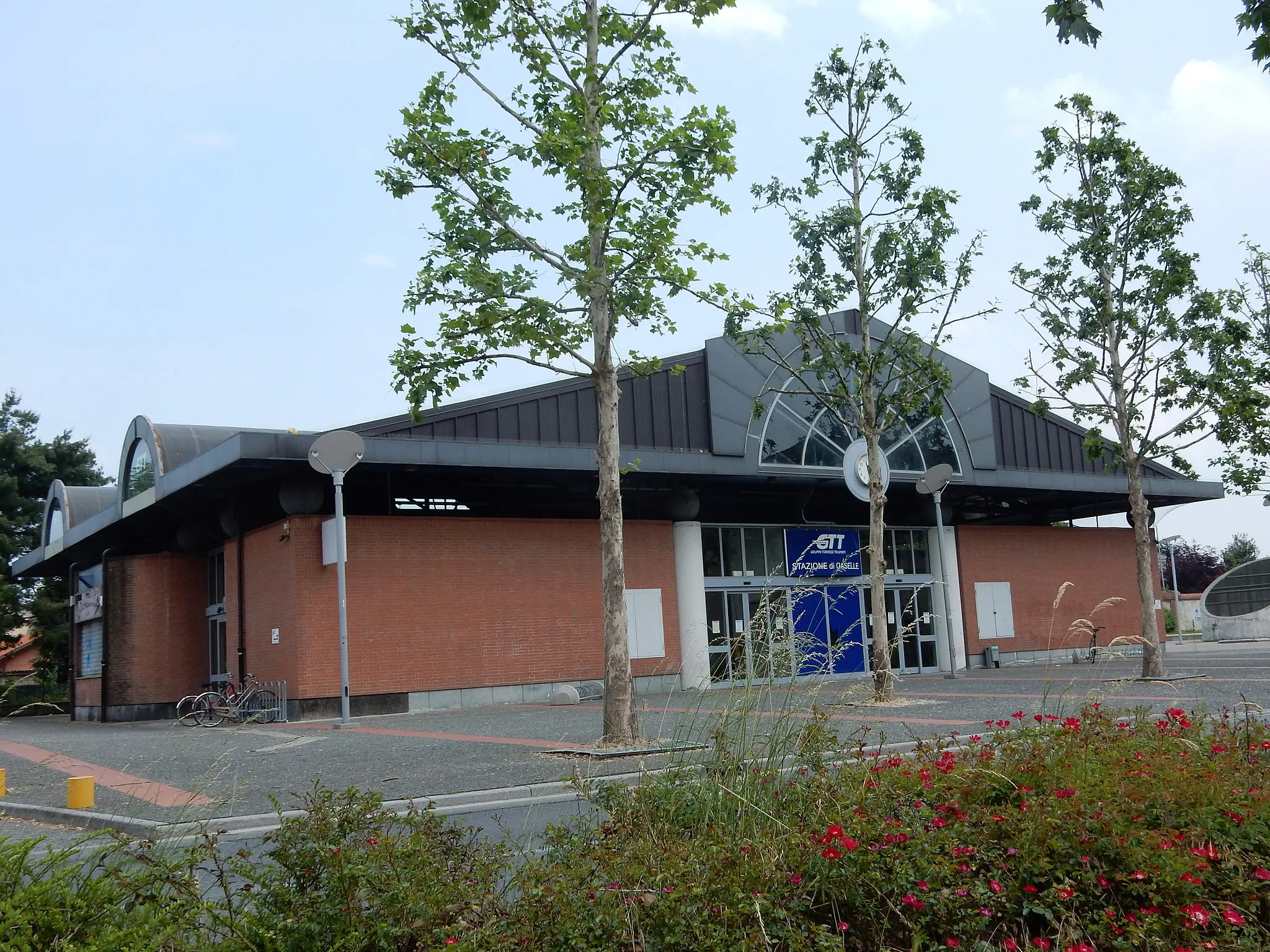
This 74 km road ride near Vénissieux offers cyclists a chance to explore the beautiful landscapes of the Rhône-Alpes region. With a moderate ascent of 745 meters, this route is suitable for riders of all skill levels. Highlights along the way, including Gare de Vénissieux and Serpaize, provide interesting cultural insights and scenic views. Enjoy the tranquility of the countryside and vistas of lush green fields on this delightful road ride.
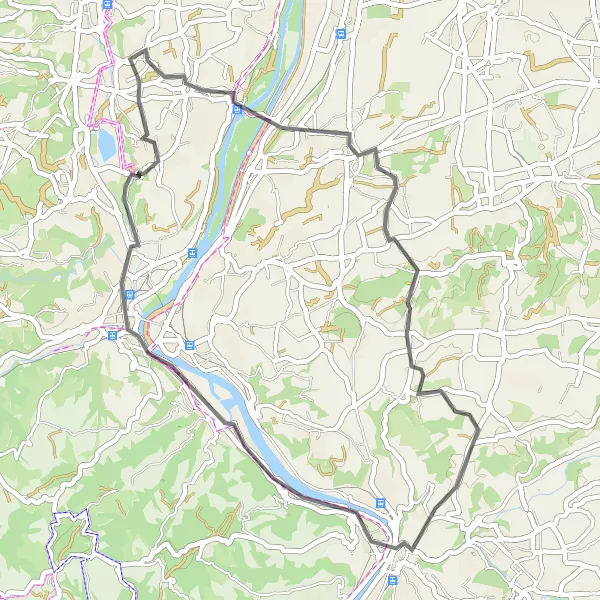
Explore the countryside and admire the historic sites along this road cycling route.
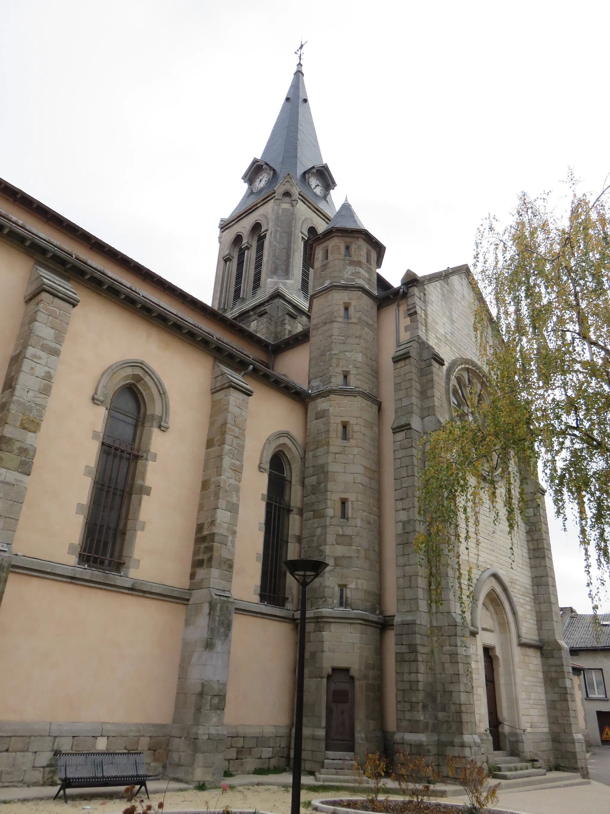
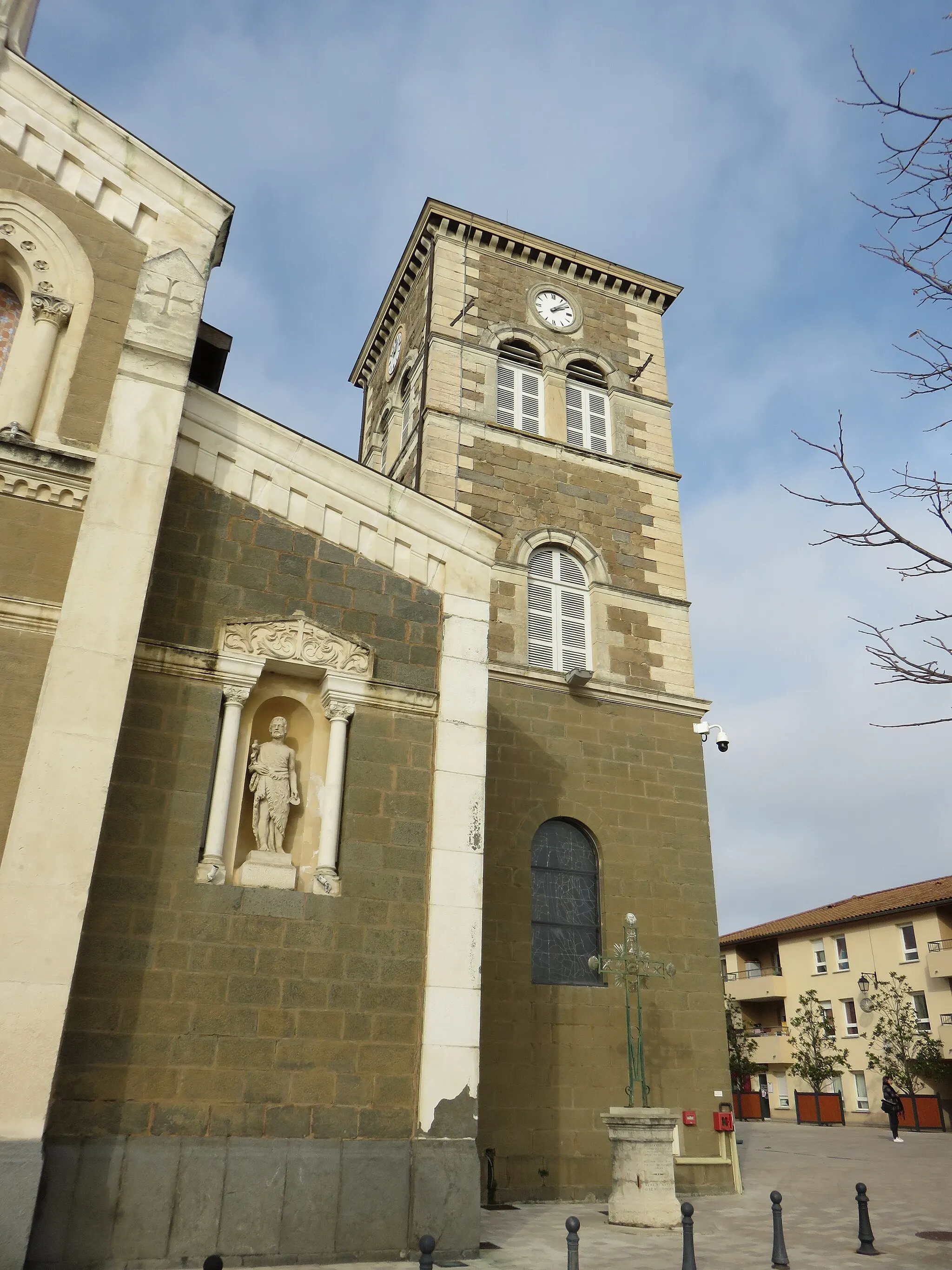
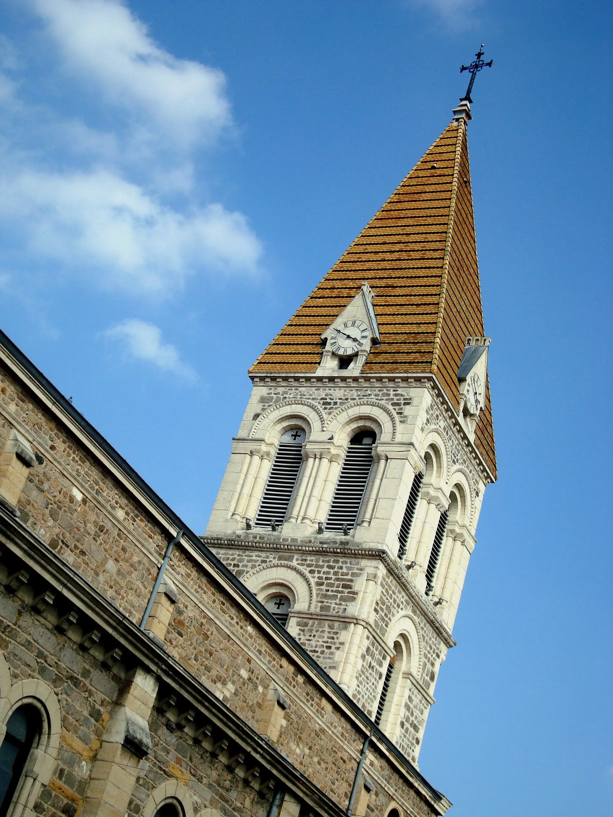
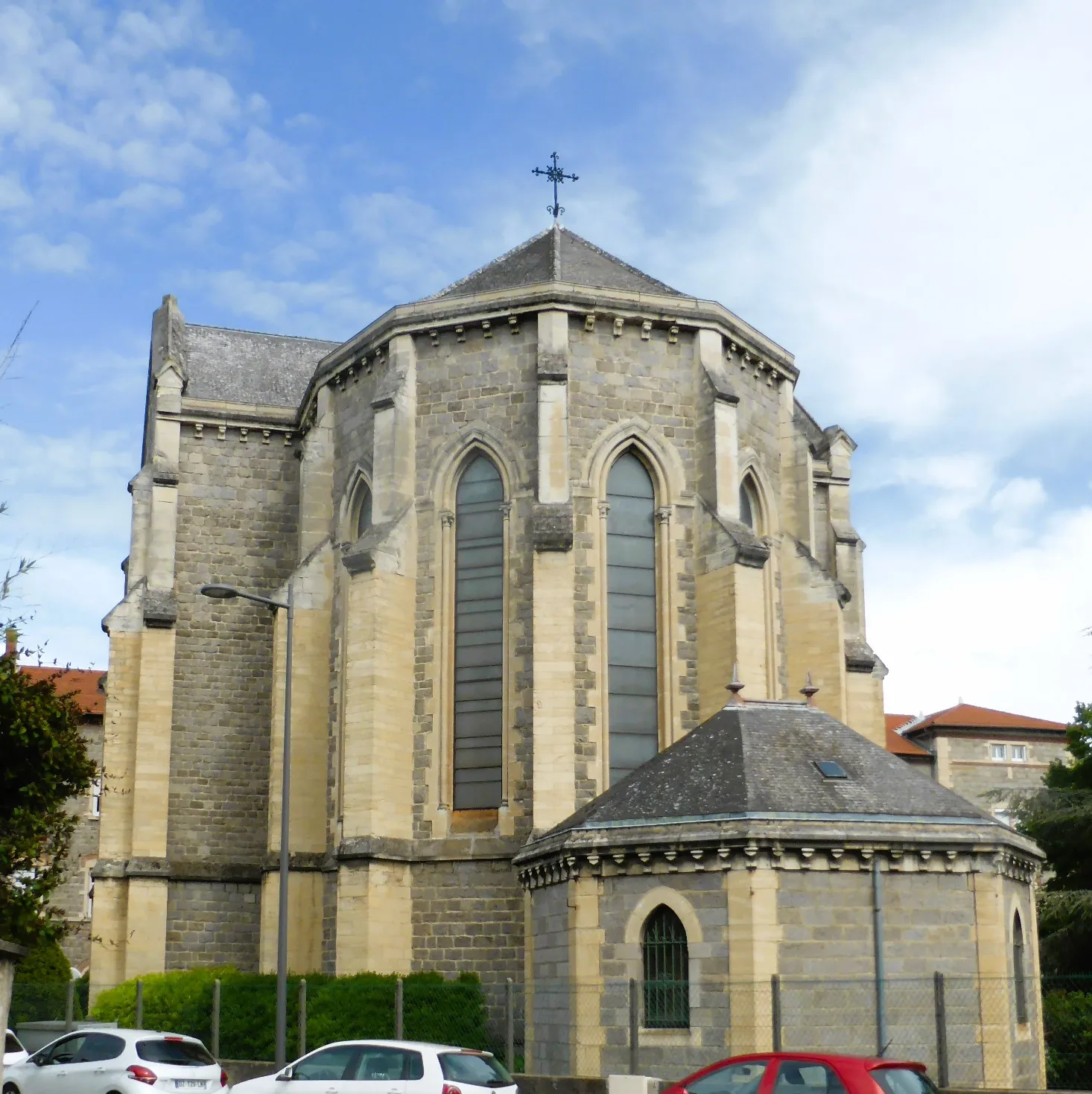
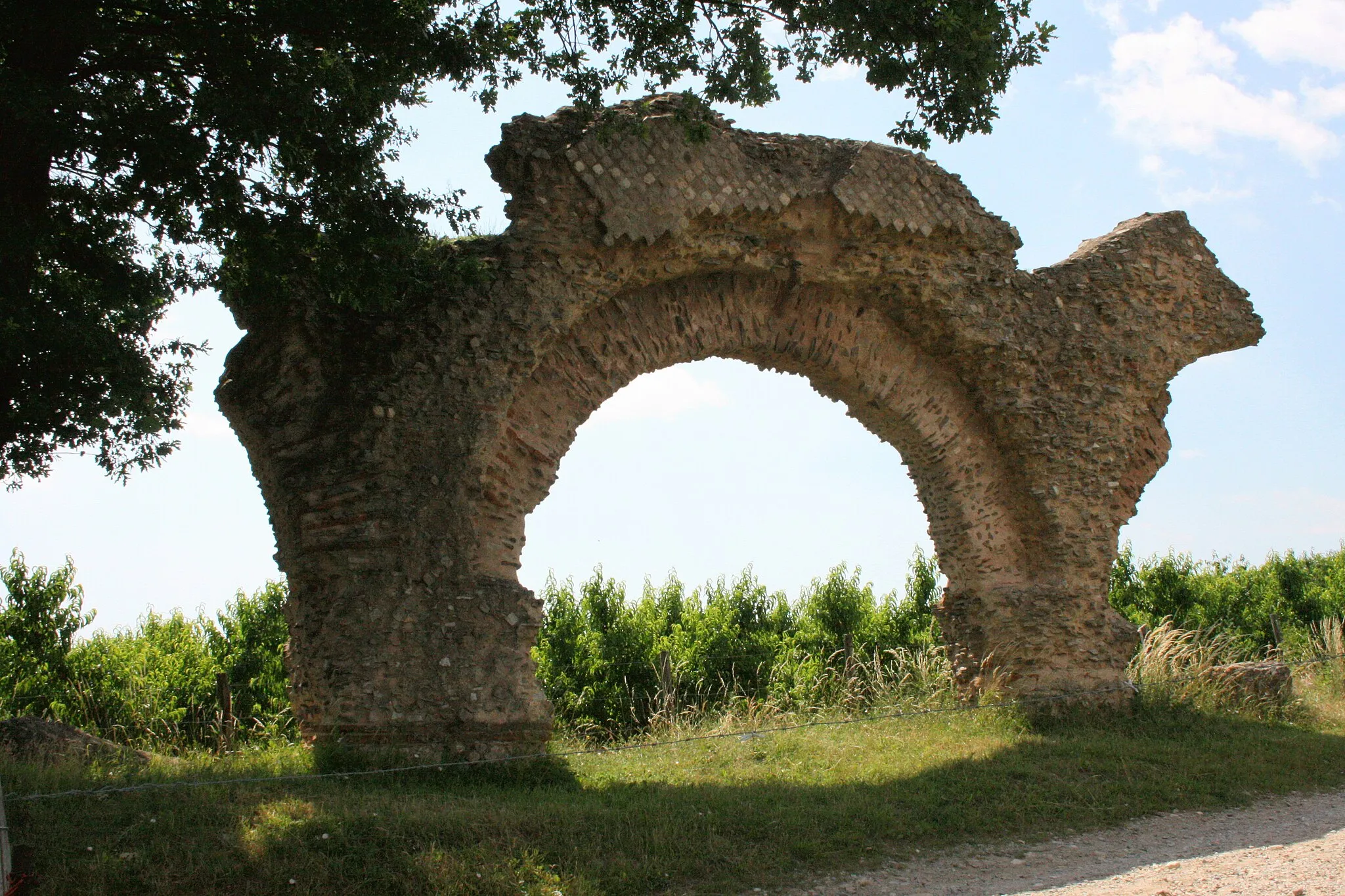
Venture through the tranquil countryside and admire the historic sites that adorn this road cycling route starting from Brignais and ending in Millery. With an ascent of 545 meters over 46 kilometers, this route offers a scenic and enjoyable experience suitable for cyclists of different skill levels. Highlights along the way include Simandres, a picturesque village with traditional stone houses, and the Belvédère de Pipet, from where you can enjoy panoramic views of the surrounding landscape. Stop by Saint-Romain-en-Gal and explore its ancient Roman ruins before making your final stop in Millery. Overall, this route provides a relaxing and culturally rich cycling experience.
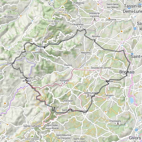
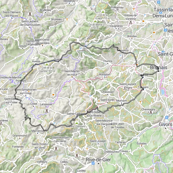
Discover the scenic countryside and charming villages on this road cycling route.
This road cycling route takes you through beautiful countryside landscapes and allows you to explore various picturesque villages. Starting in Brignais, you'll pass by Saint-Laurent-d'Agny, a village known for its tranquility and well-preserved architecture, before making your way towards Brindas. With an ascent of 1084 meters over 59 kilometers, this route offers a moderate challenge suitable for cyclists of different skill levels. Along the way, you'll encounter highlights such as Signal de Saint-André, offering panoramic views of the surrounding countryside, and Brindas, a charming village with traditional charm. Overall, this route provides a scenic and enjoyable adventure.
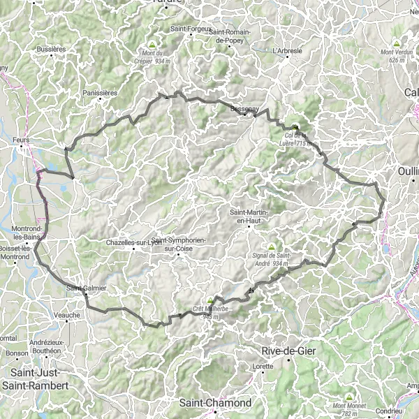
Embark on an epic road cycling adventure through challenging terrain.
This road route takes you on a thrilling journey from Brignais to Montrottier, covering various picturesque villages and challenging climbs. With an ascent of 2202 meters spread over 134 kilometers, this route is suitable for well-trained amateur cyclists looking for a demanding, yet rewarding, challenge. Highlights along the way include the village of Saint-Laurent-d'Agny, known for its charming streets and quiet atmosphere, and the impressive climb up to Crêt Malherbe, offering stunning views at the peak. Overall, this route offers an epic adventure for road cycling enthusiasts.
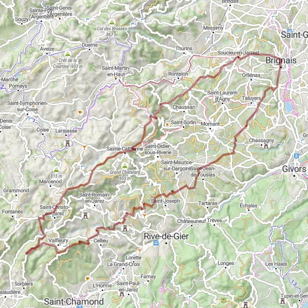
Discover the picturesque countryside and historic sites on this gravel route.
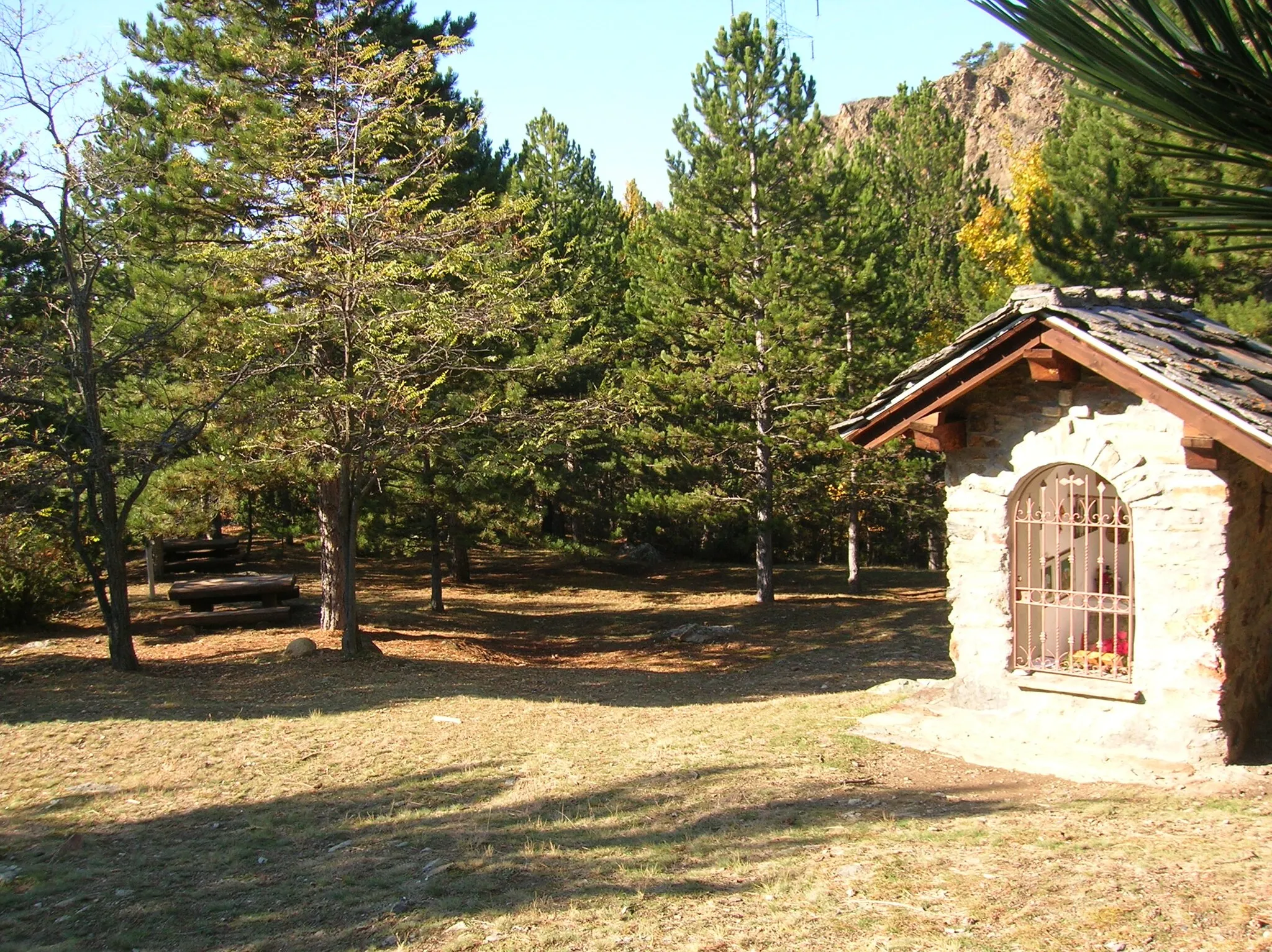
This gravel route takes you through scenic landscapes and past several important landmarks. Start in Brignais and make your way towards Sainte-Catherine, enjoying the peacefulness of the surrounding nature. The route offers varying levels of difficulty, providing a challenge for experienced gravel cyclists while still being accessible to less experienced riders. The highlights along the way include Saint-Jean-de-Touslas, known for its charming village feel, and Crêt Féchet, offering breathtaking views at the top. Overall, this route offers a unique way to explore the Rhône-Alpes region by bicycle.
Scenic Road Loop
Embark on a scenic road trip with stunning views and challenging climbs near Brignais.
This 84 km road loop near Brignais offers cyclists a perfect mix of scenic beauty and challenging climbs. With an ascent of 1,602 meters, this route is suitable for well-trained amateurs seeking a thrilling ride. Highlights along the way, including Orliénas and Pomeys, provide stunning vistas and idyllic countryside charm. The Crêt Malherbe and Col des Brosses offer exhilarating climbs that will put your skills to the test. Experience the beauty of the Rhône-Alpes region on this epic road adventure.
Scenic road cycling route from Brignais to Vourles
This road cycling route takes you through picturesque countryside, charming towns, and challenging climbs. Starting in Brignais and ending in Vourles, this route offers a mix of rolling terrain and more demanding ascents, making it ideal for well-trained amateur cyclists. With a total ascent of 746 meters and a distance of 94 kilometers, this route provides a satisfying challenge.

Conquer the challenging mountain roads near Brignais and enjoy breathtaking views.
This 97 km road route near Brignais is a challenging mountain ride that promises breathtaking views and exhilarating descents. With an ascent of 1,645 meters, this route is suitable for experienced cyclists looking for a true challenge. Highlights along the way, such as Soucieu-en-Jarrest and Vieux Château, offer cultural and historical insights in addition to scenic beauty. Conquer the tough climbs and savor the satisfaction of reaching the summit on this epic mountain adventure.
Cycling routes nearby:
Nearby regions: