The Gravel Adventure
A gravel cycling route starting from Taluyers
Explore the gravel roads and climb the Col de Chassenoud
Map
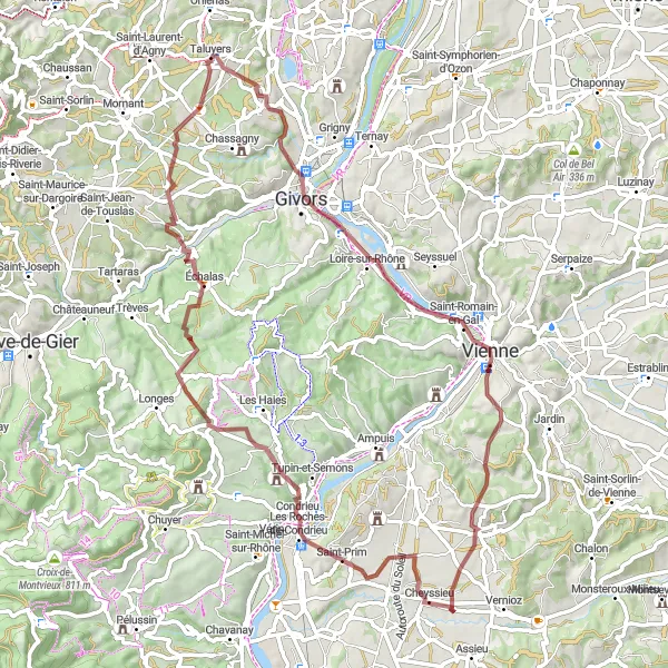
Embark on a thrilling gravel adventure starting near Taluyers. This 73 km route takes you through picturesque landscapes and challenging terrains. The highlight of the route is the Col de Chassenoud, where you can test your climbing abilities and enjoy breathtaking views from the summit. Overall, this off-road route offers a great mix of nature, challenge, and scenic panoramas.
gravel
73 km
1396 m
Tough
Route profile
Highlights on the route
0 km
0 km
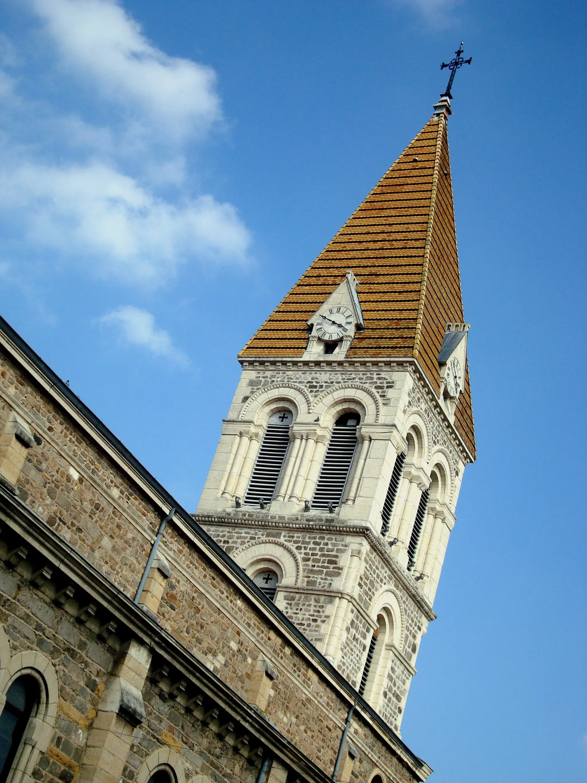
Start: Taluyers Village centerTaluyers: Discovering the hidden cycling gems of Taluyers
Taluyers is a peaceful town located in the Rhône-Alpes region of France. Cycling enthusiasts will find a variety of pleasant roads and gravel paths to explore in and around Taluyers. The town is surrounded by rolling hills and forests, providing both challenging climbs and serene routes for cyclists of all levels. A notable climb located nearby is the Col de la Luère, offering stunning panoramic views from the top and a rewarding challenge for cyclists.3 km
3 km
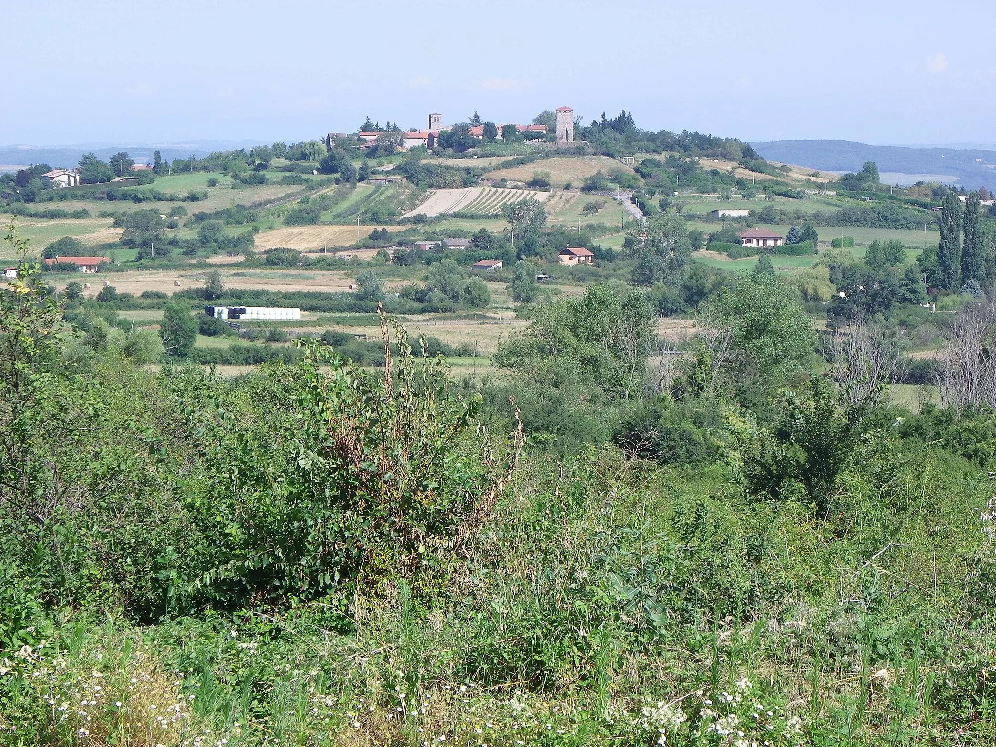
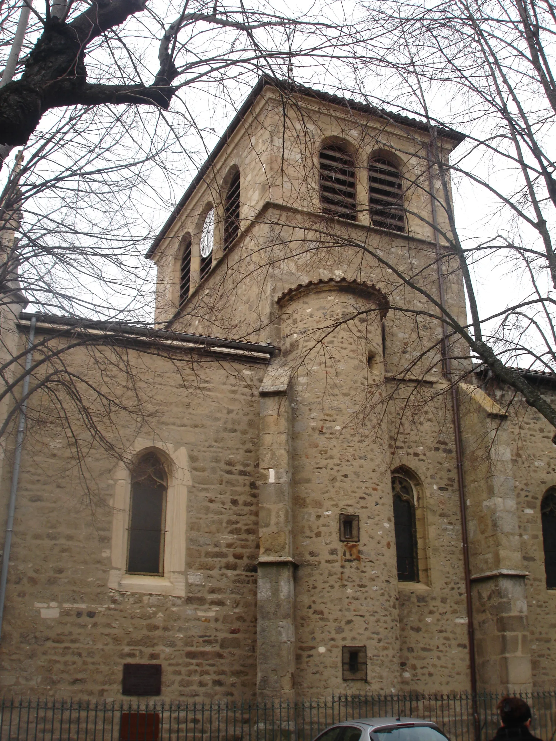
MontagnyVillageMontagny, a charming village known for its vineyards and historic architecture.
20 km
20 km
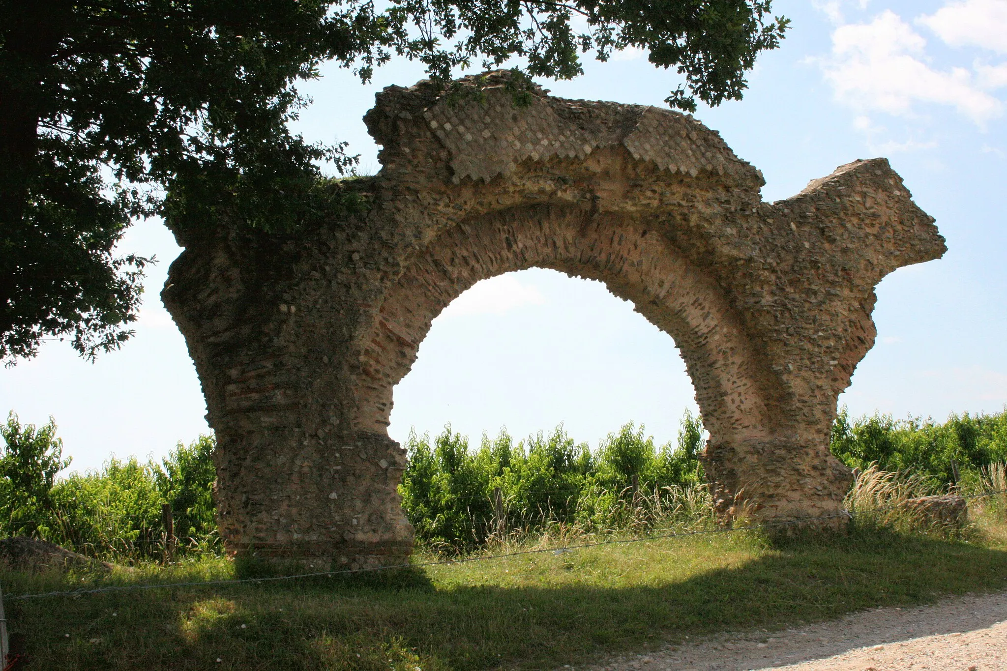
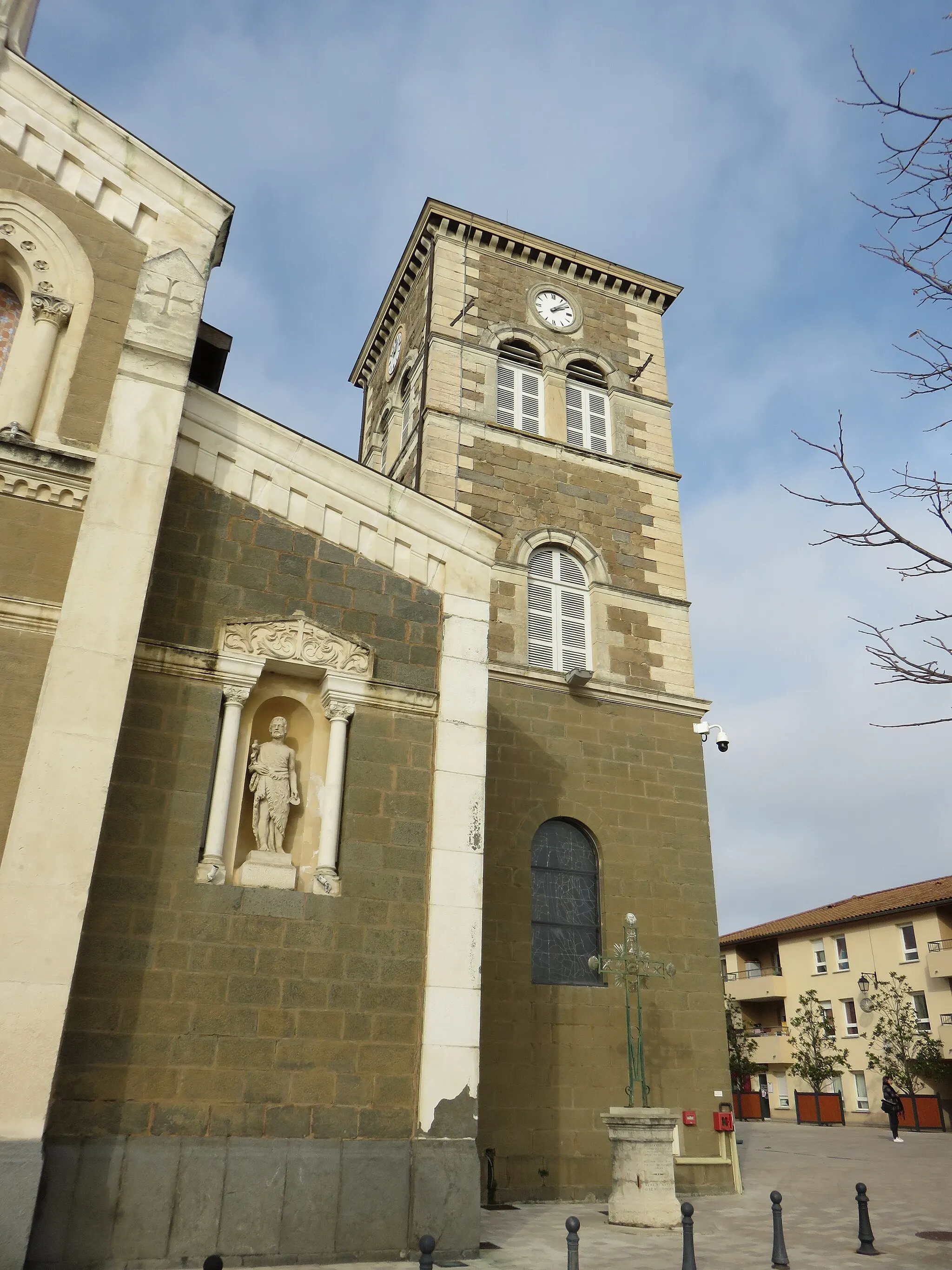
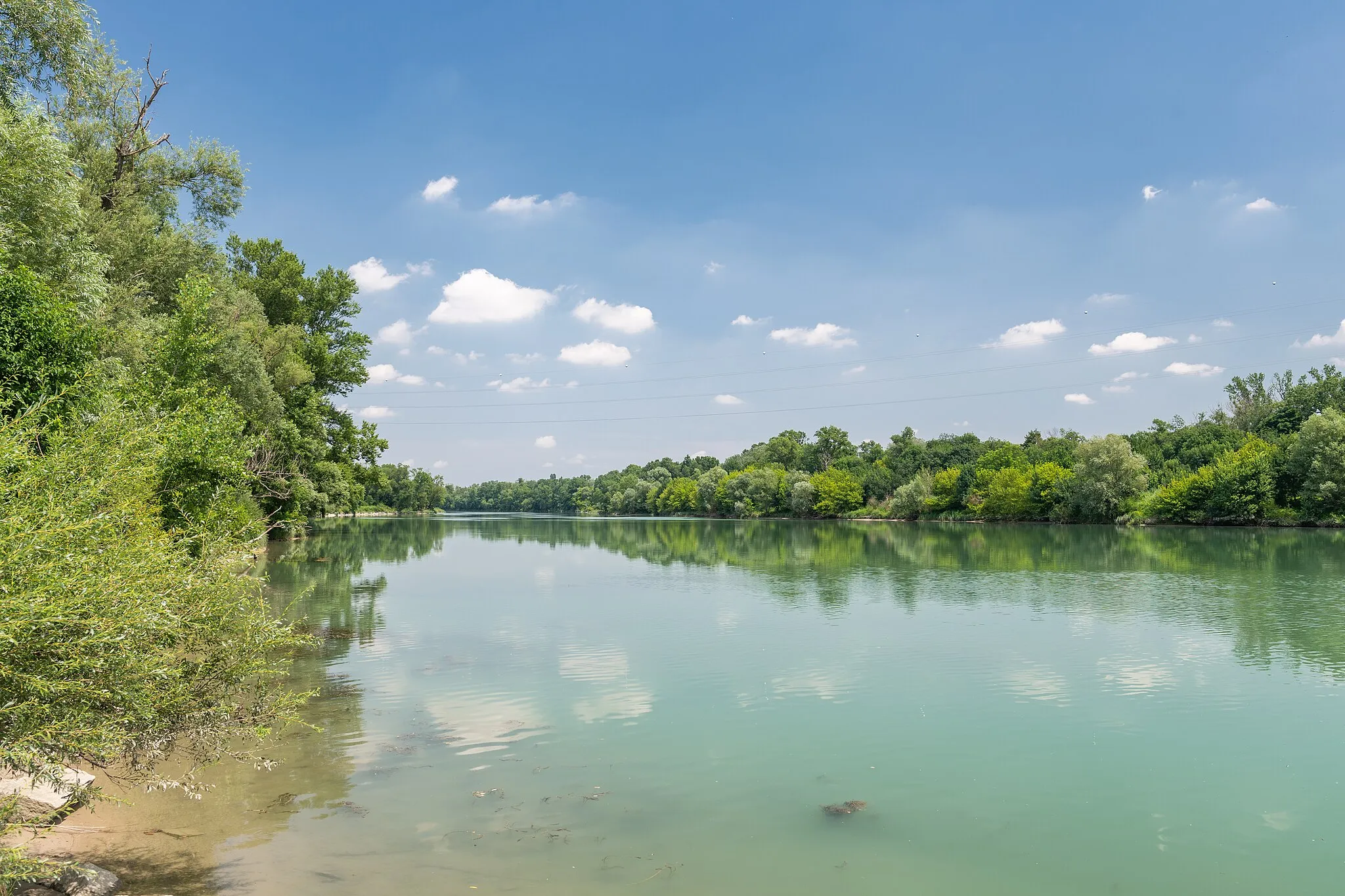
VienneTownVienne, an ancient Roman city with a rich history and beautiful architecture.
20 km
20 km
Belvédère de PipetViewpointBelvédère de Pipet, a scenic viewpoint overlooking the city of Vienne.
41 km
41 km
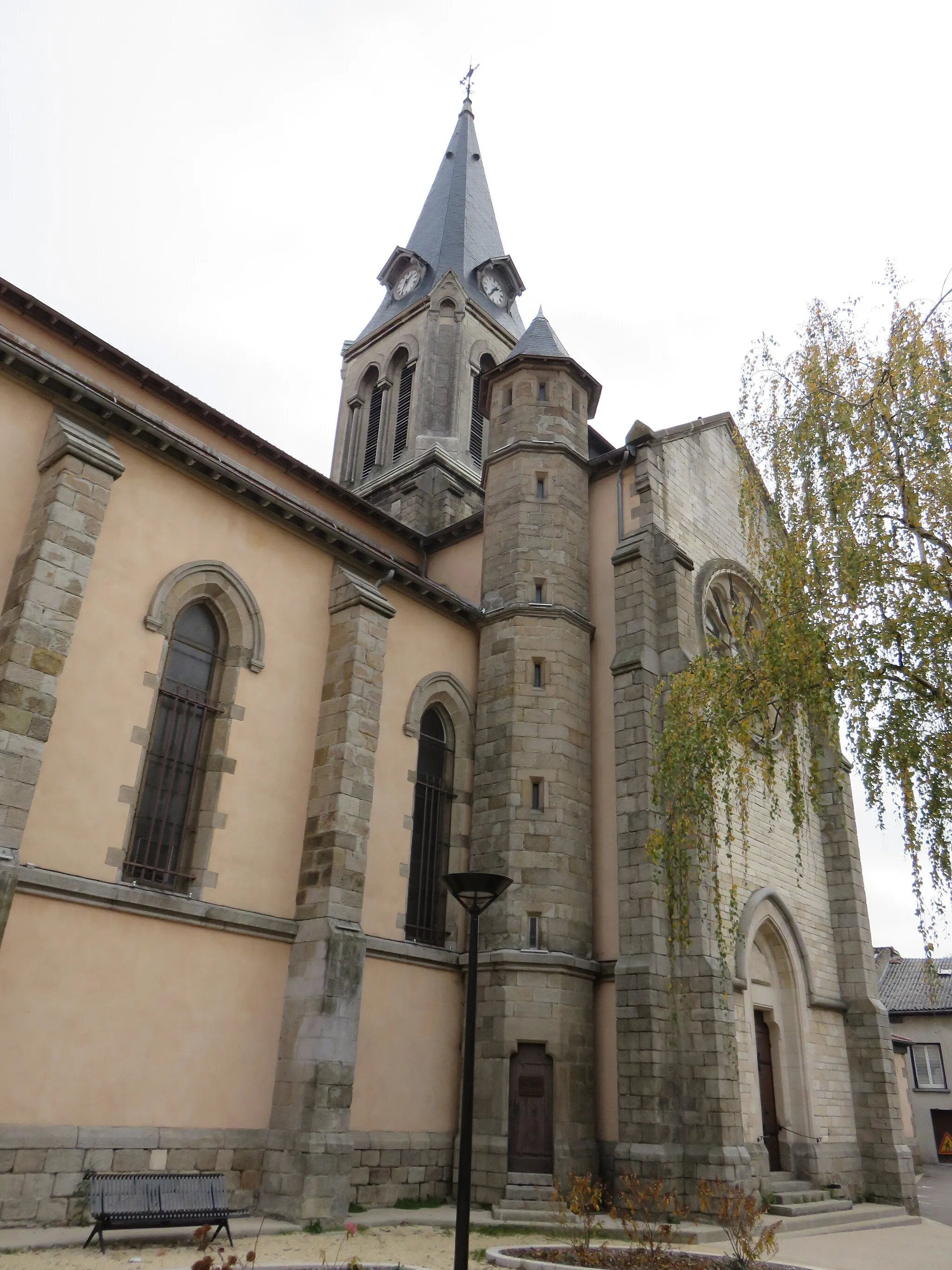
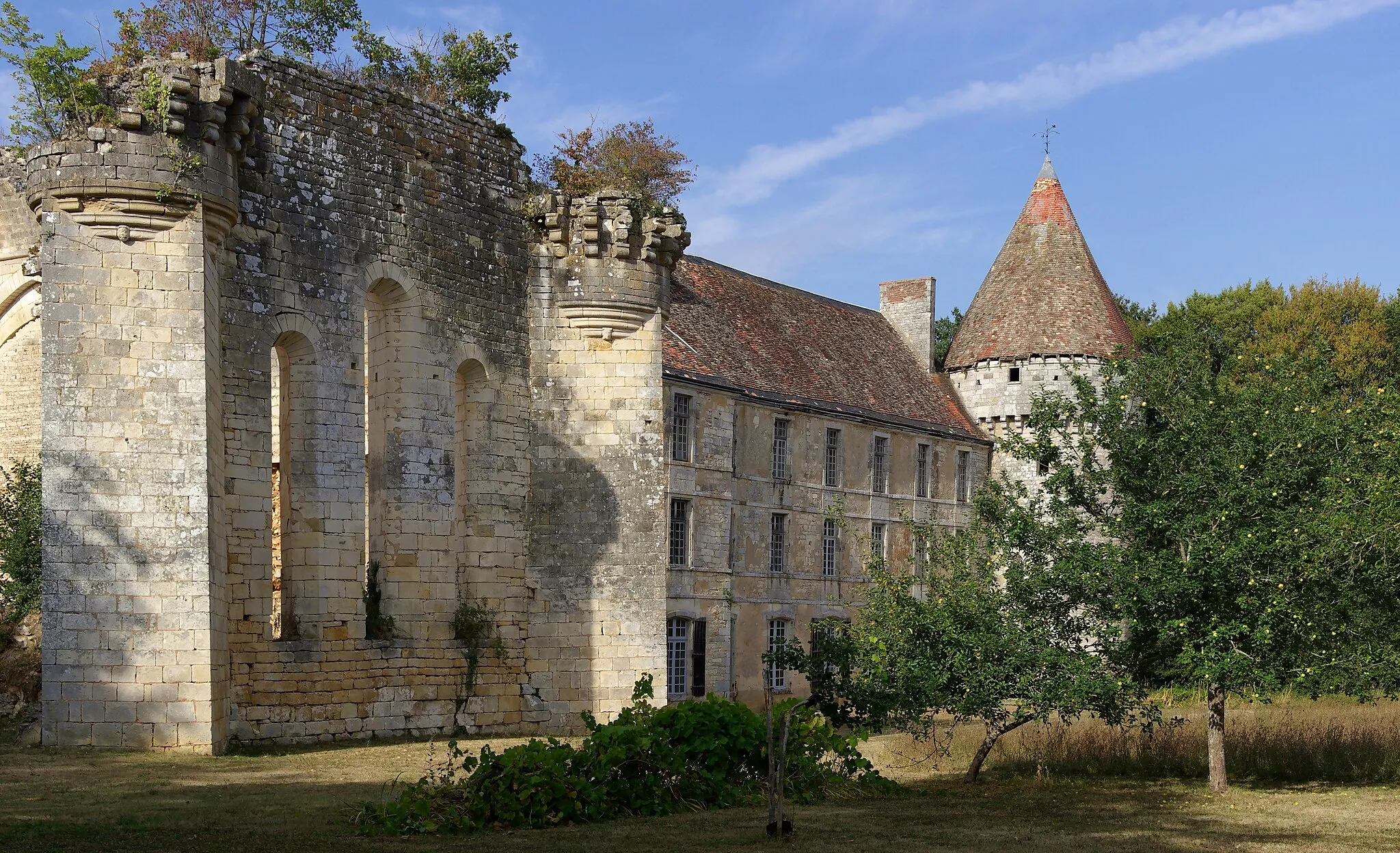
Saint-PrimVillageSaint-Prim, a picturesque village nestled in the Rhone Valley.
52 km
52 km
Col de Chassenoud555 mMountain PassCol de Chassenoud, a challenging climb offering stunning views of the surrounding countryside.
60 km
60 km
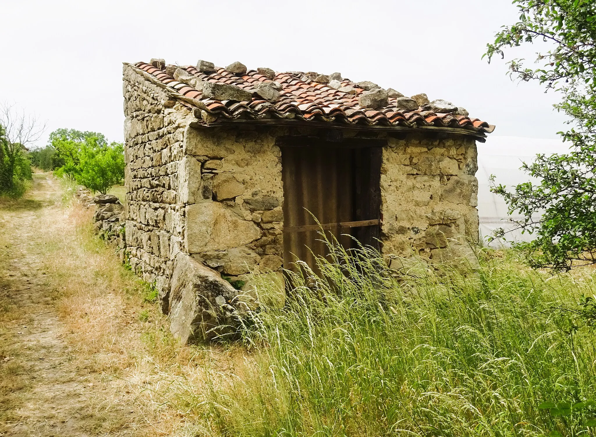
ÉchalasVillageÉchalas, a charming village famous for its terraced vineyards and wine production.
73 km
73 km
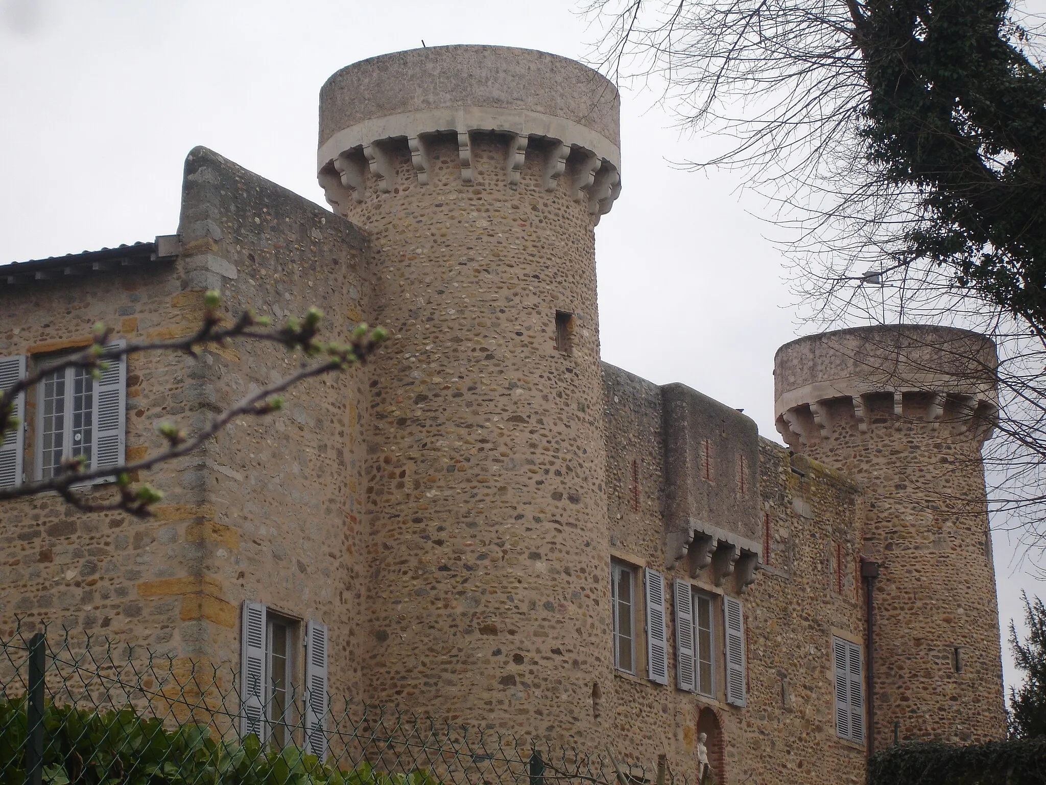
TaluyersVillageTaluyers, the starting and ending point of the route, known for its tranquil countryside and historic buildings.
73 km
73 km
Finish: Taluyers Village centerTaluyers: Discovering the hidden cycling gems of Taluyers
Cycling routes nearby: