The Mountain Challenge
A road cycling route starting from Taluyers
Conquer the mountains and enjoy breathtaking vistas
Map
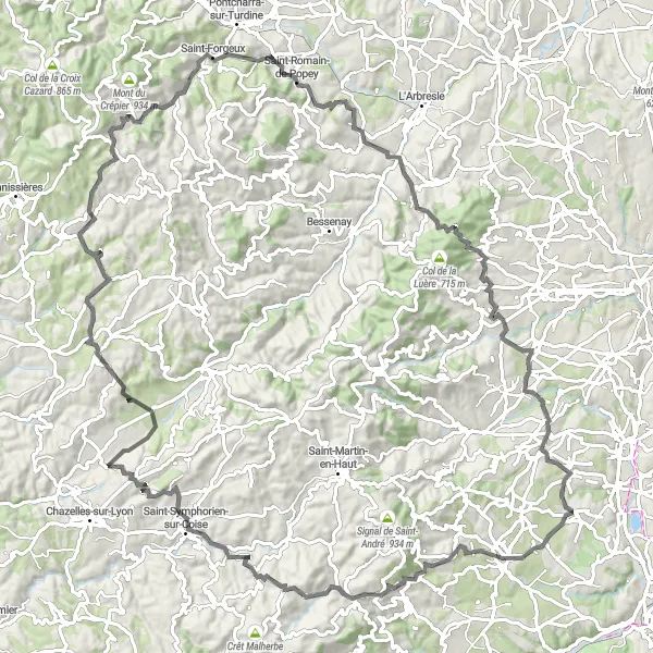
Embark on a challenging road cycling adventure starting near Taluyers. This 114 km route takes you through mountainous terrain and offers breathtaking vistas from the high points. The highlight of the route is the Grézieu-le-Marché, where you can take a moment to enjoy panoramic views of the surrounding landscapes. Overall, this route is recommended for experienced cyclists looking to test their limits on demanding climbs and be rewarded with stunning vistas at the top.
road
114 km
2060 m
Savage
Route profile
Highlights on the route
0 km
0 km
Start: Taluyers Village centerTaluyers: Discovering the hidden cycling gems of Taluyers
Taluyers is a peaceful town located in the Rhône-Alpes region of France. Cycling enthusiasts will find a variety of pleasant roads and gravel paths to explore in and around Taluyers. The town is surrounded by rolling hills and forests, providing both challenging climbs and serene routes for cyclists of all levels. A notable climb located nearby is the Col de la Luère, offering stunning panoramic views from the top and a rewarding challenge for cyclists.5 km
5 km
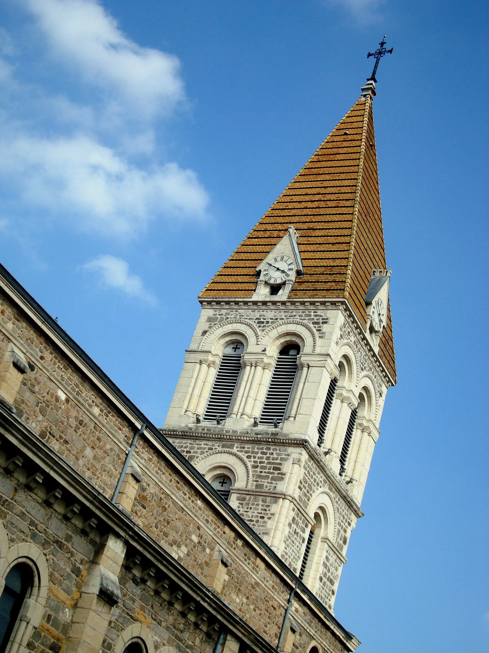
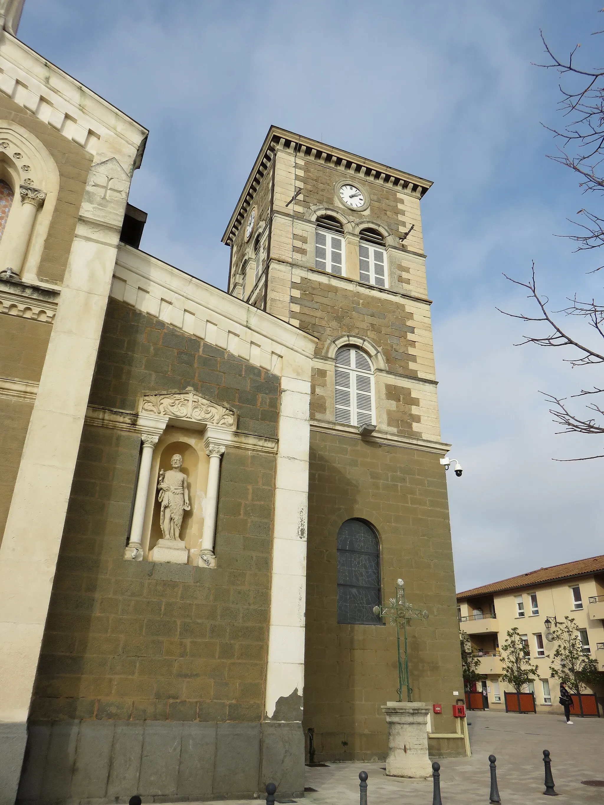
MornantVillageMornant, a charming hilltop village known for its historic architecture and panoramic views.
13 km
13 km
Table d'orientationViewpointTable d'orientation, a viewpoint offering breathtaking panoramic vistas of the surrounding mountains.
34 km
34 km
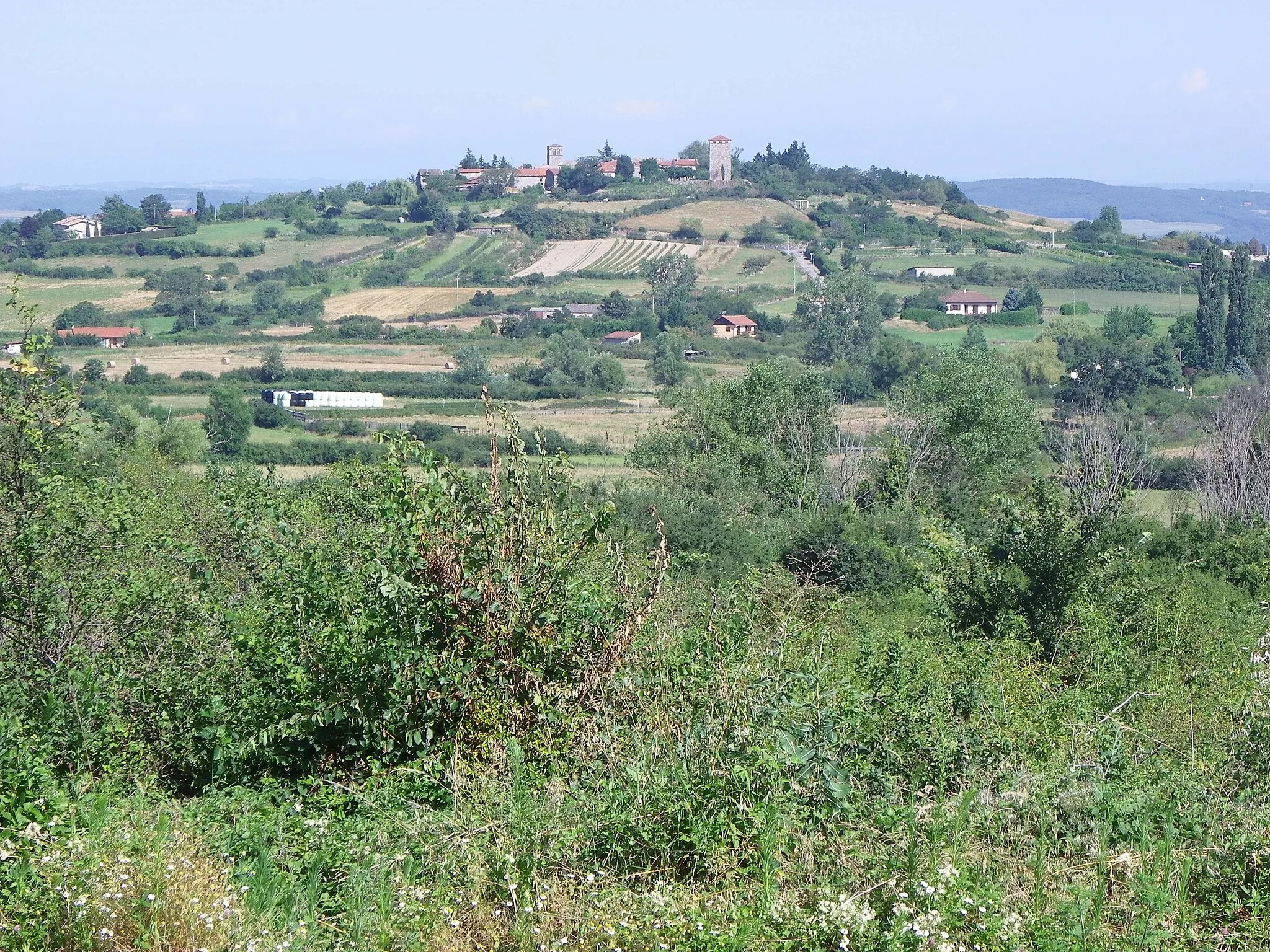
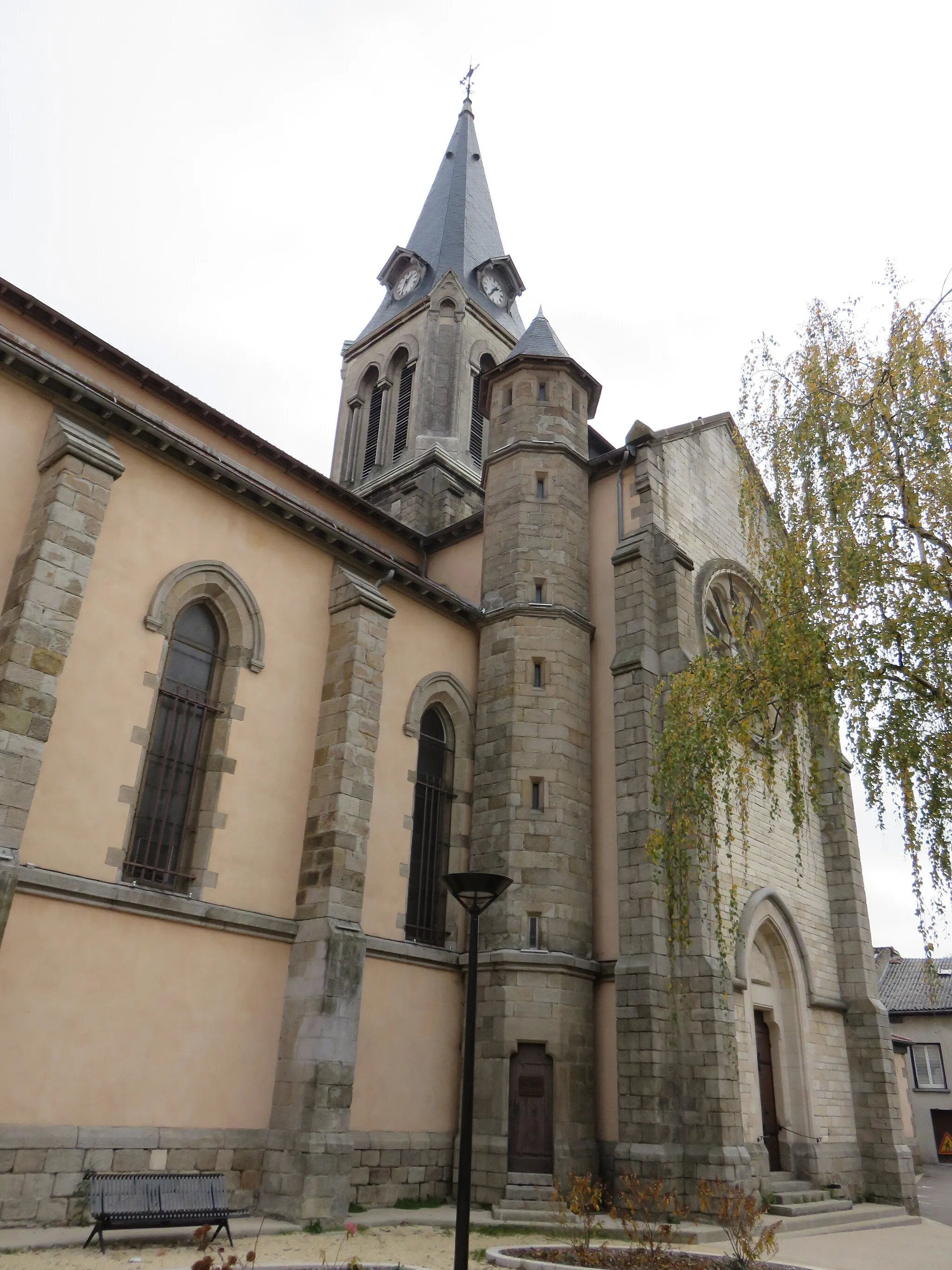
Grézieu-le-MarchéVillageGrézieu-le-Marché, a picturesque village perched on a hilltop with stunning views over the valleys.
46 km
46 km
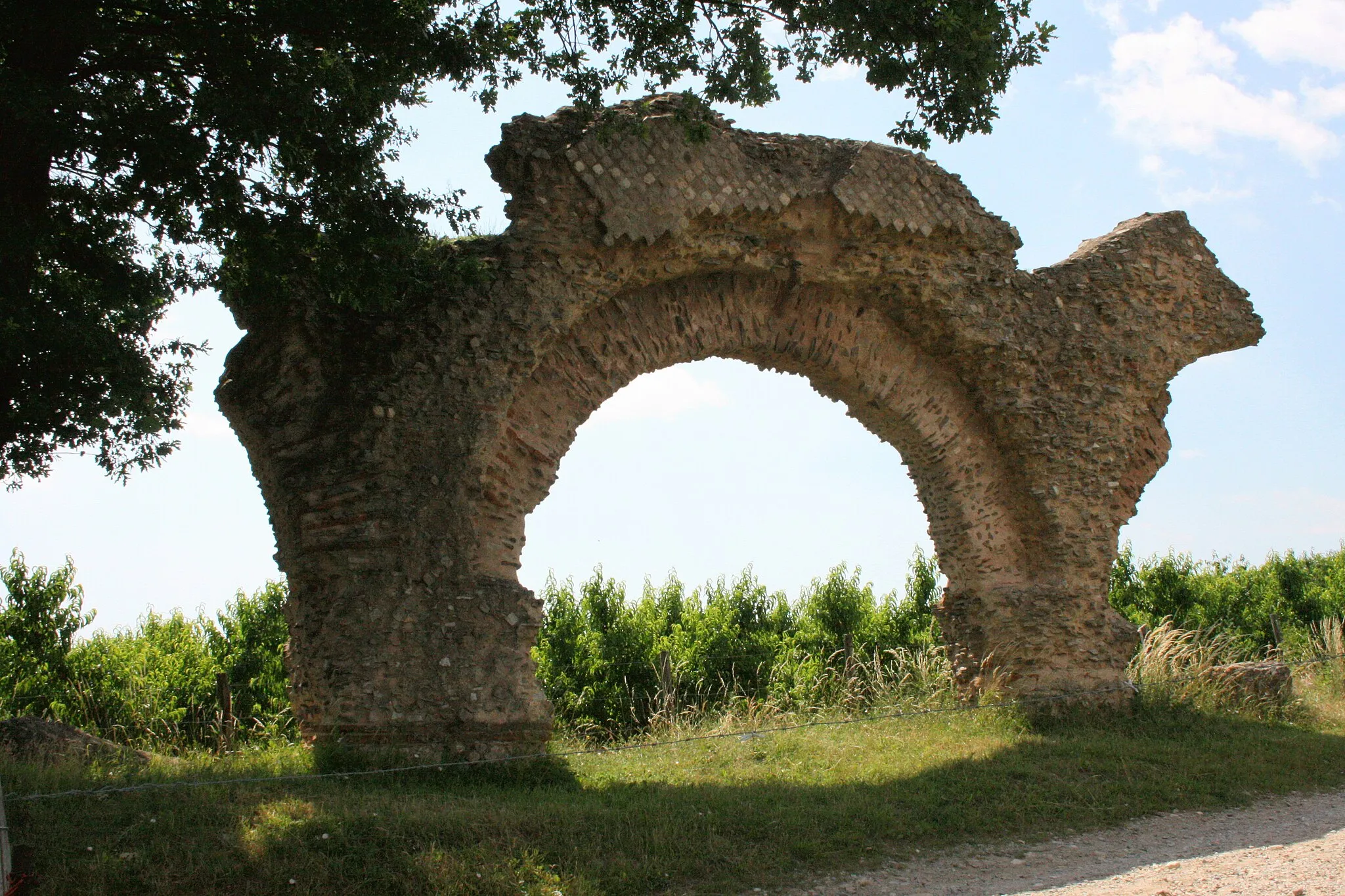
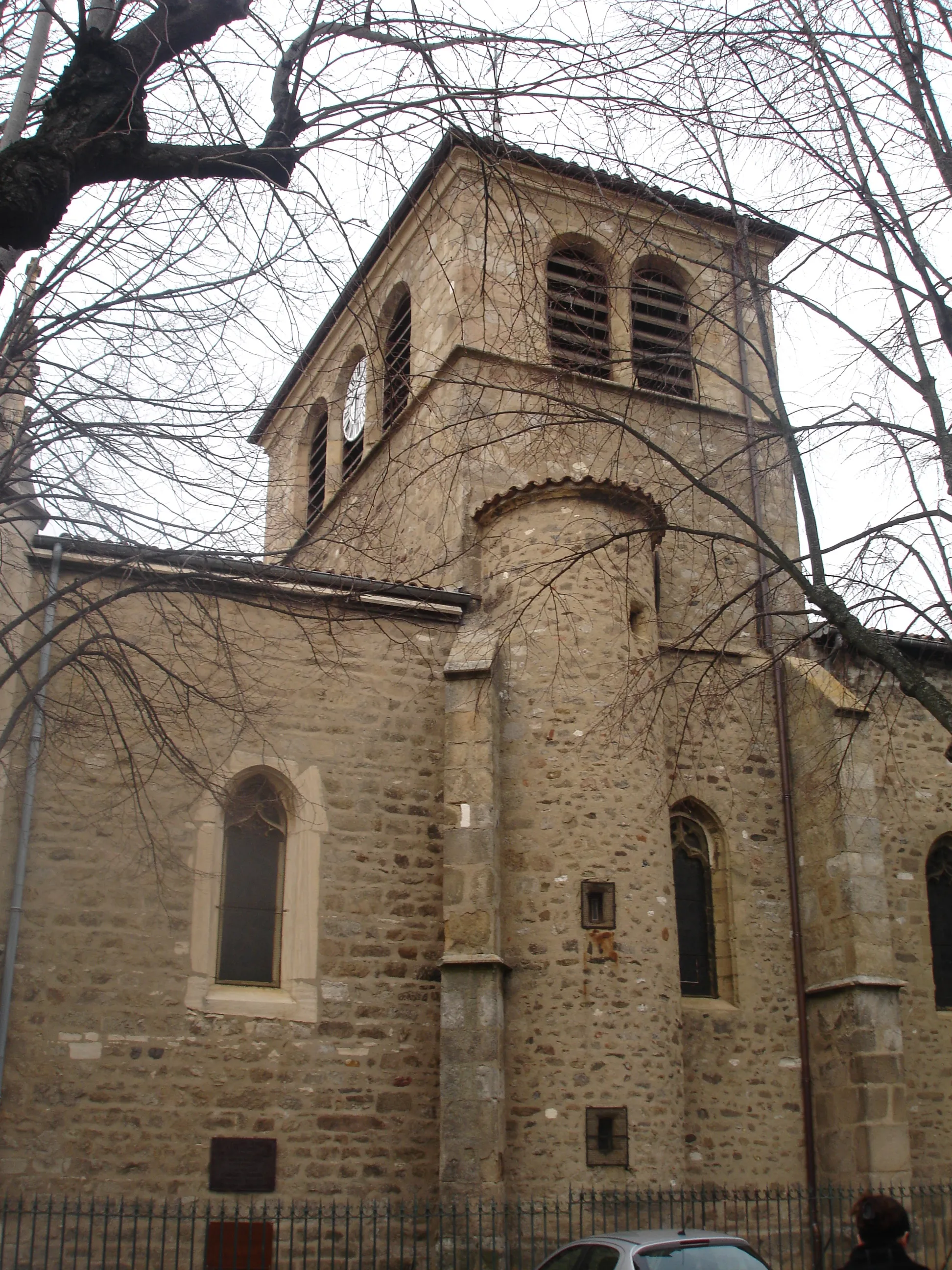
Haute-RivoireVillageHaute-Rivoire, a medieval village with narrow cobblestone streets and well-preserved architecture.
61 km
61 km
VillechenèveVillageVillechenève, a charming village nestled in the mountains, surrounded by lush greenery and scenic trails.
65 km
65 km
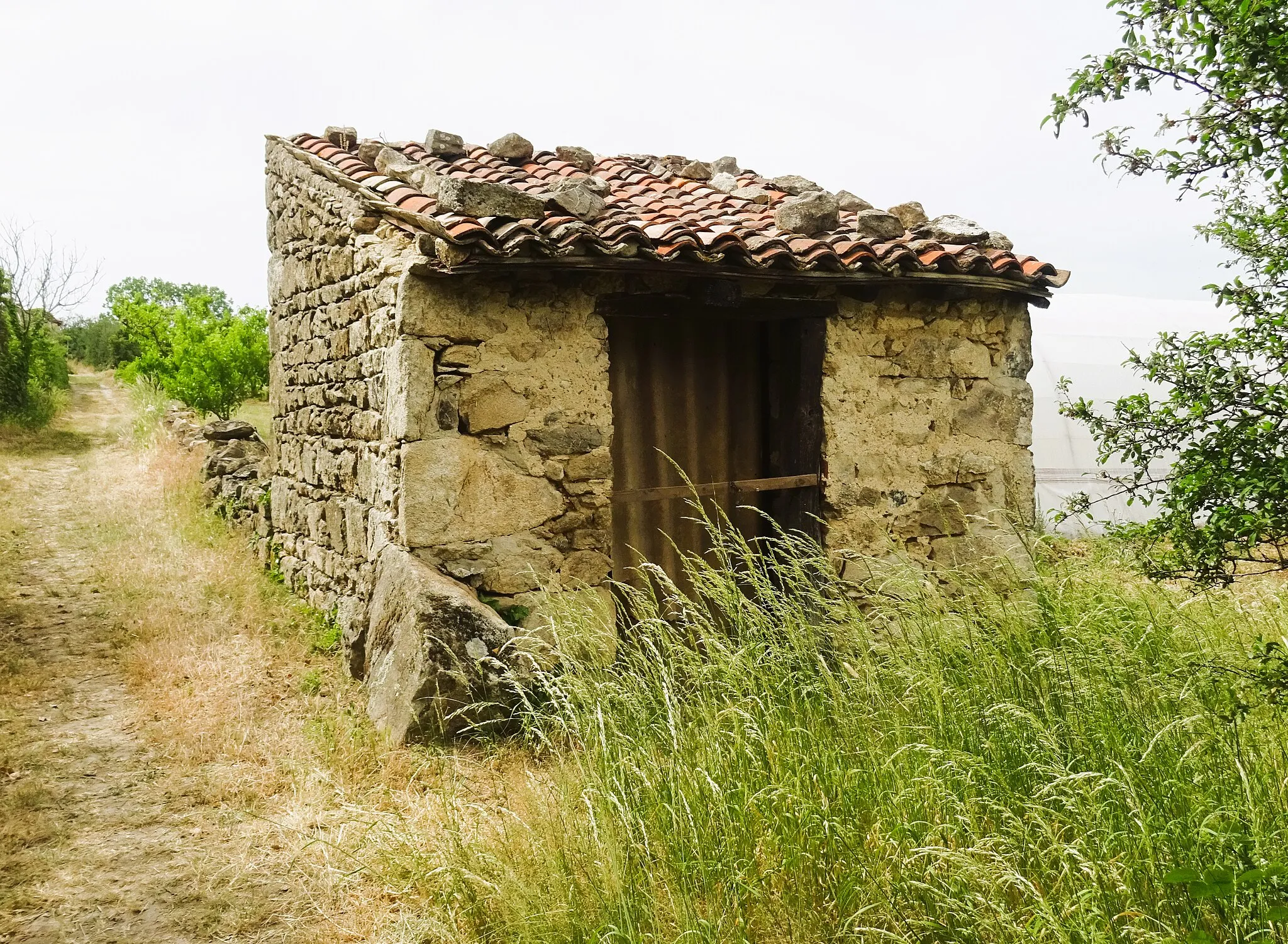
Mont Girard774 mPeakMont Girard, a natural peak with commanding views over the surrounding valleys and mountains.
86 km
86 km
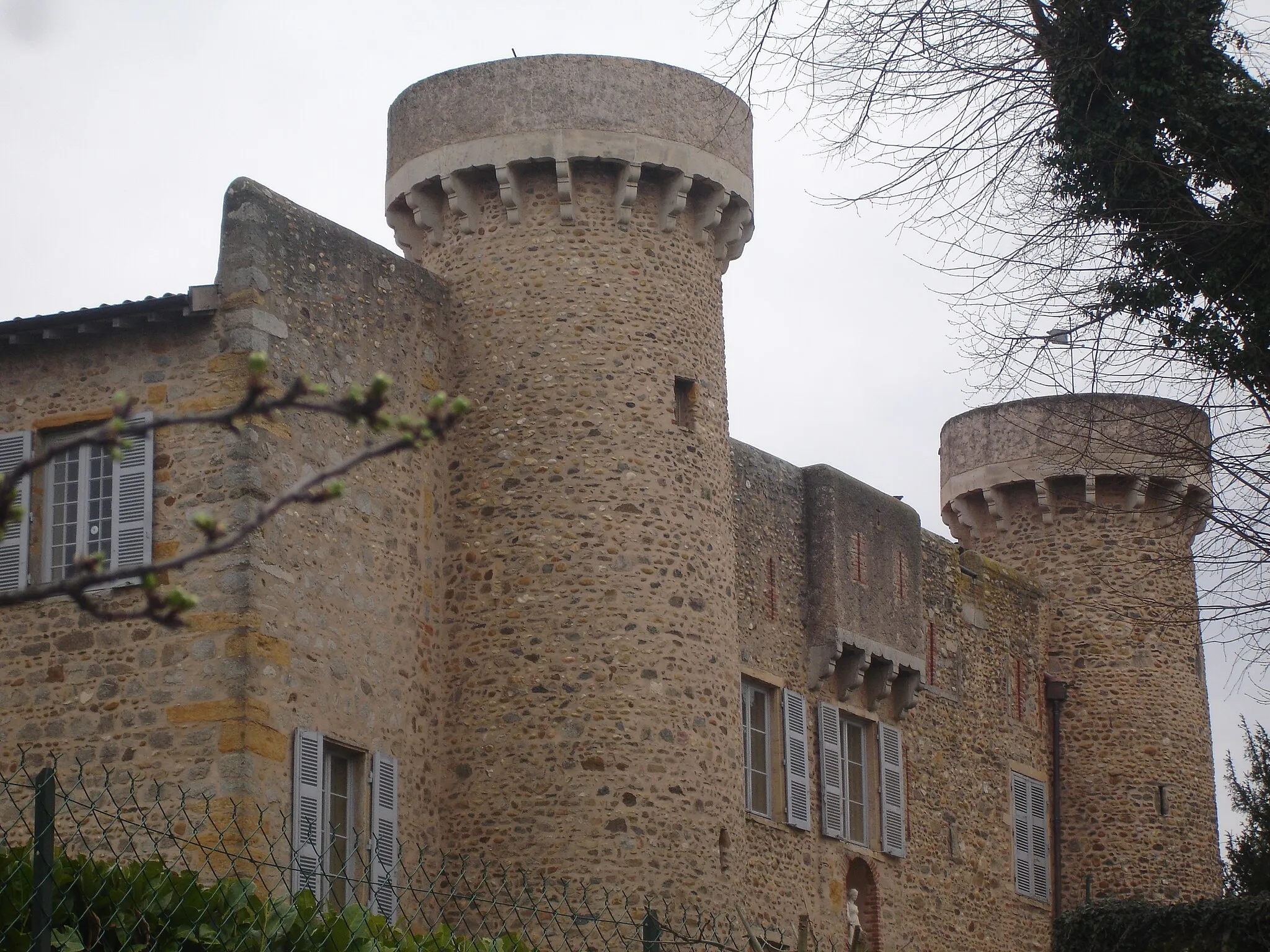
Sain-BelVillageSain-Bel, a historic town with beautiful architecture and a vibrant local culture.
108 km
108 km
Soucieu-en-JarrestVillageSoucieu-en-Jarrest, a picturesque village known for its medieval ruins and panoramic views.
114 km
114 km
Finish: Taluyers Village centerTaluyers: Discovering the hidden cycling gems of Taluyers
Cycling routes nearby: