Scenic Cycling in Rhône-Alpes
Cycling routes from Pont-de-Cheruy
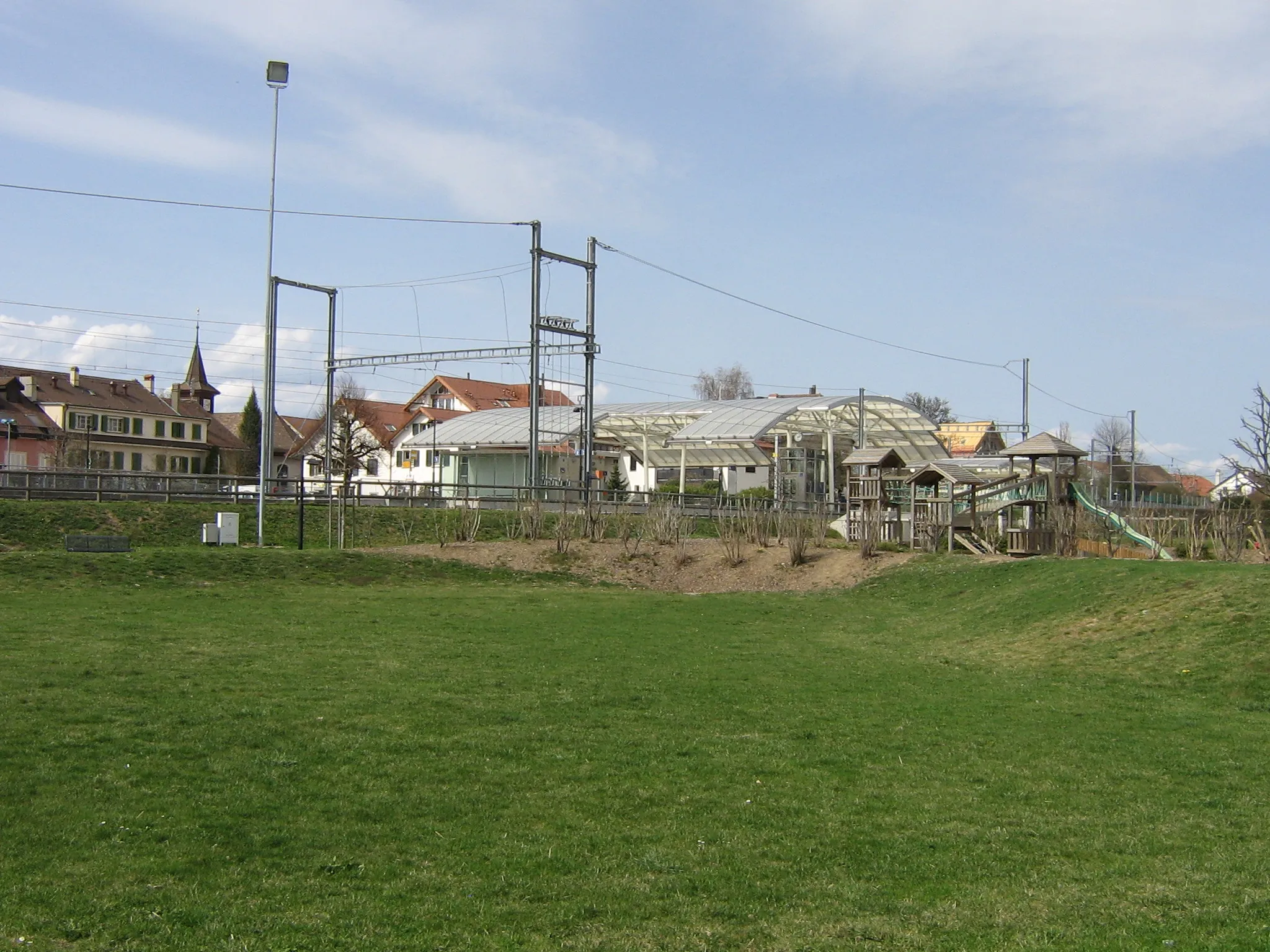
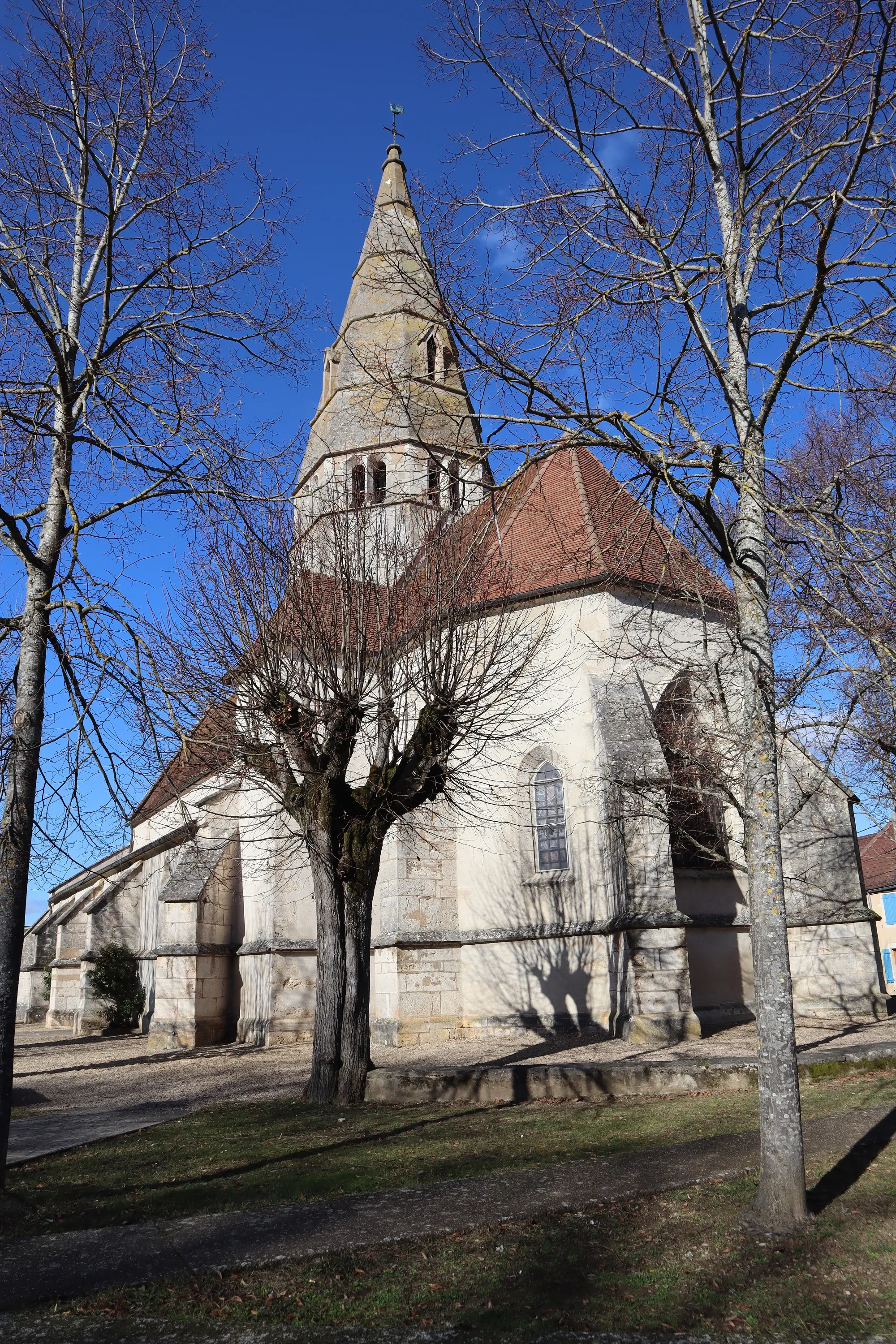
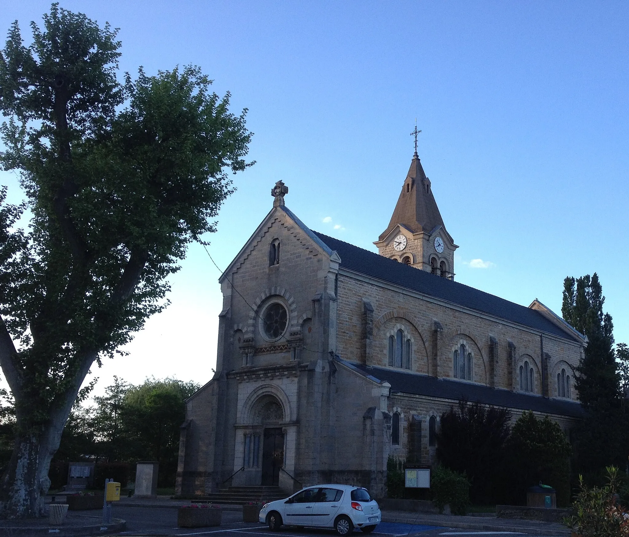
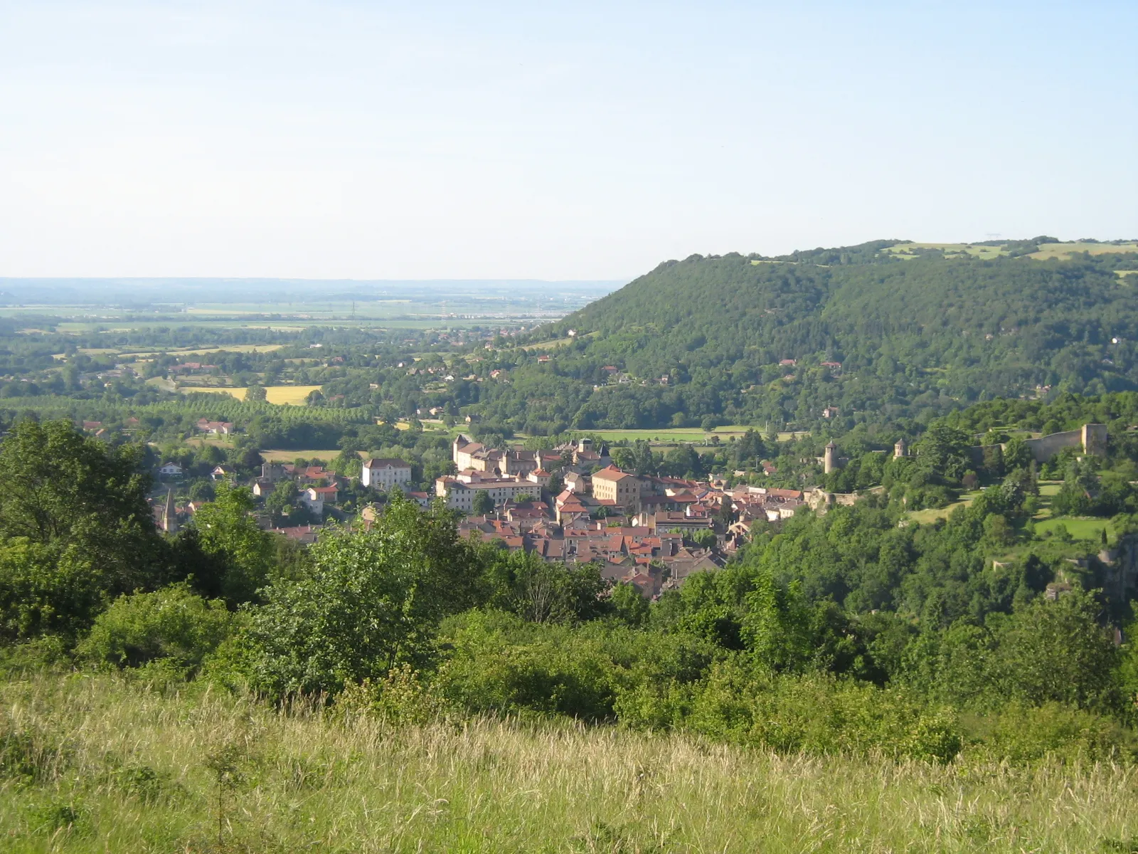
Pont-de-Chéruy is a town located in Rhône-Alpes, France. From a cyclist's perspective, Pont-de-Chéruy offers a mix of challenging routes and scenic landscapes. The region is known for its well-preserved cycling routes, both on road and gravel, that take cyclists through picturesque villages and rolling countryside. The town is also surrounded by several well-known climbs, such as Montée de Chainaz and Col de Portes, attracting road cyclists looking for a challenge. Additionally, Pont-de-Chéruy offers a range of amenities for cyclists, including bike-friendly accommodations and local bike shops. Overall, Pont-de-Chéruy is a cyclist-friendly destination with beautiful routes and challenging climbs.
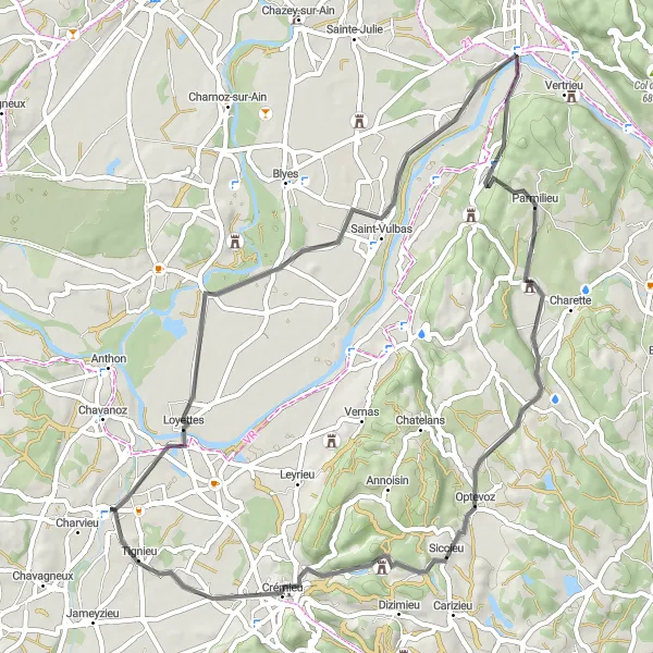
Cycle from Loyettes to Château Delphinal and explore the picturesque countryside
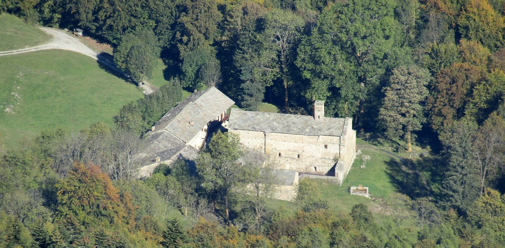
This road cycling route offers a pleasant ride through the scenic countryside of Rhône-Alpes. With a moderate level of difficulty, it is suitable for well-trained amateur cyclists looking for a leisurely adventure. Highlights include the charming village of Proulieu, the peaceful surroundings of Parmilieu, the historical sites of Siccieu, and the majestic Château Delphinal.
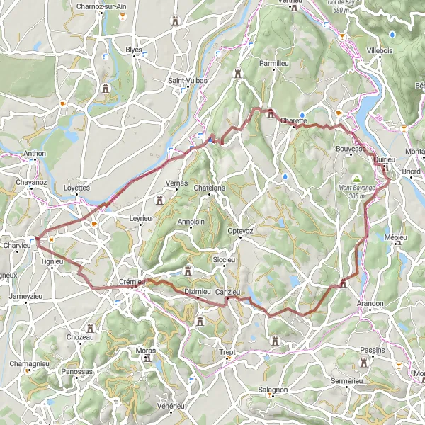
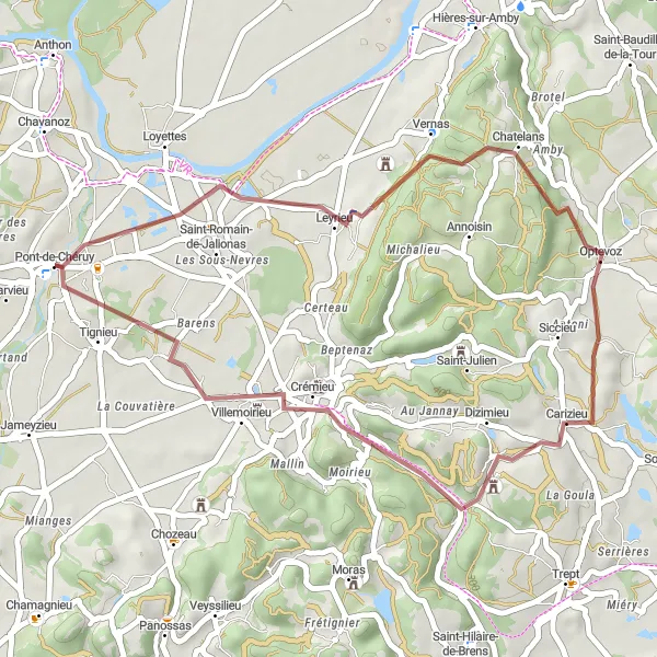
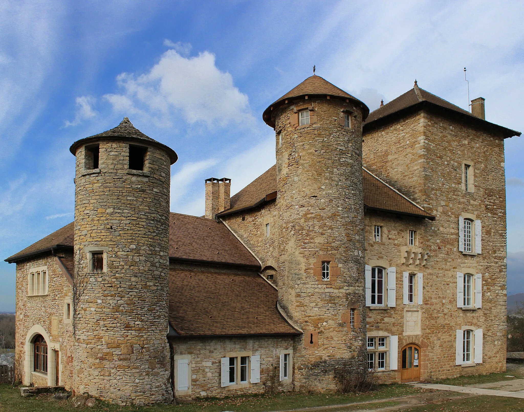
Cycle from Hières-sur-Amby to Château de Lancin on scenic gravel roads
Journey from Hières-sur-Amby to Château de Lancin on this scenic gravel route. With a total ascent of 575 meters over a distance of 61 kilometers, this challenging route takes you through stunning countryside landscapes and ancient villages. Highlights along the way include Charette, Soleymieu, and Dizimieu, providing opportunities to explore history and immerse yourself in the beauty of the region.
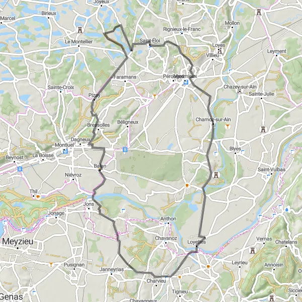
Cycle through the scenic route from Pont-de-Chéruy to Loyettes
Discover the beautiful landscapes and charming villages along this road cycling route. With a moderate level of difficulty, it is suitable for well-trained amateur cyclists seeking a scenic adventure. Don't miss the picturesque village of Villette-d'Anthon, the historic sites of Pizay and Saint-Éloi, and the breathtaking views from Port-Galland.
Cycle through the picturesque route from Pont-de-Chéruy to Hières-sur-Amby
Experience the beauty of Rhône-Alpes as you cycle through this scenic route. The route offers stunning views and a moderate level of difficulty, making it perfect for well-trained amateur cyclists. Don't miss the charming village of Hières-sur-Amby, located 12 km from Pont-de-Chéruy.
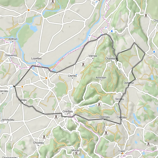
Ride from Leyrieu to Château de Dizimieu on scenic gravel roads
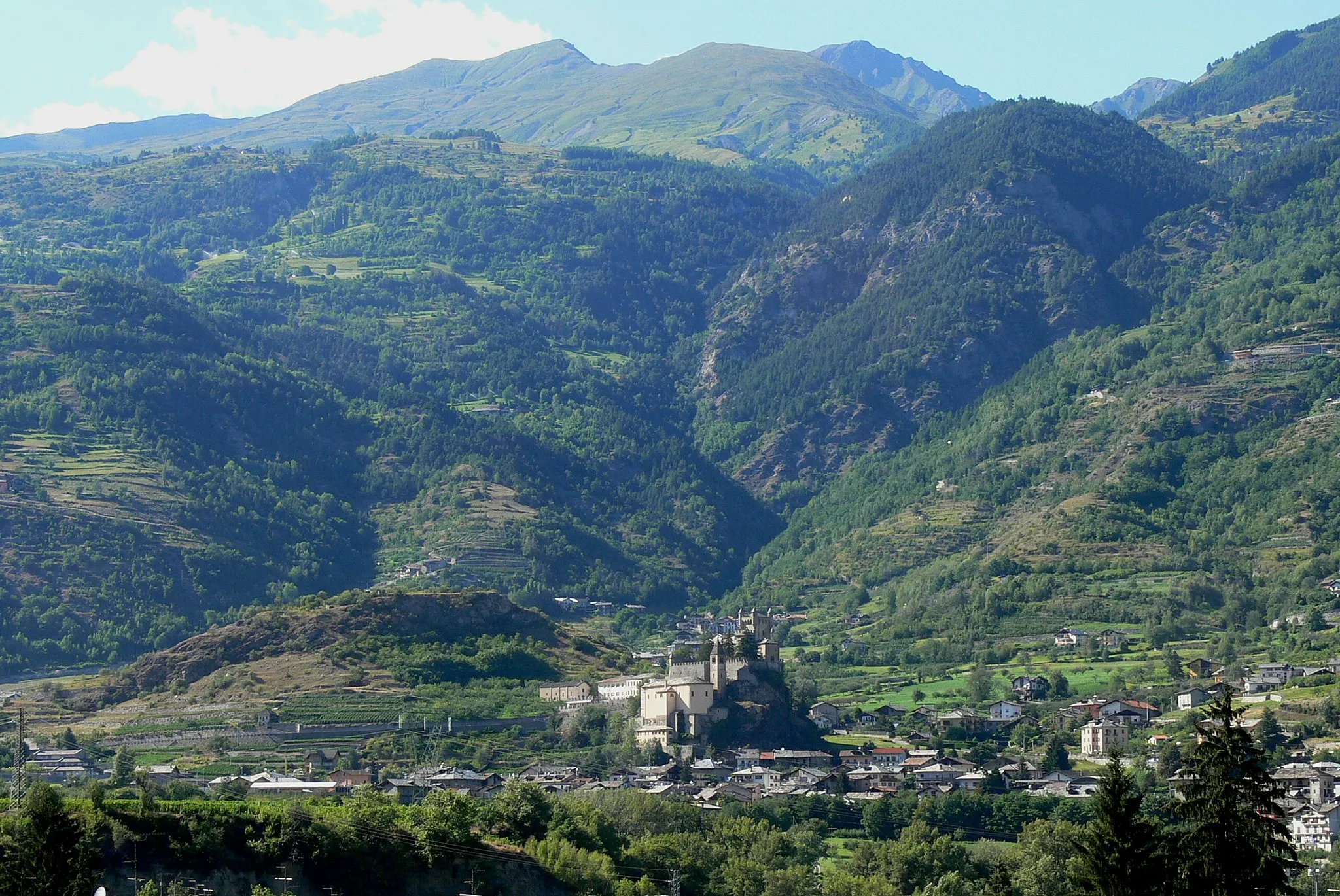
This gravel route takes you from Leyrieu to the captivating Château de Dizimieu, with a total ascent of 353 meters over a distance of 35 kilometers. The route passes through Optevoz along the way, offering stunning views and challenging terrain. It is an ideal route for gravel enthusiasts looking for a shorter but challenging ride.
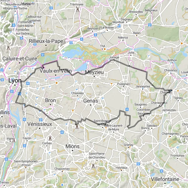
Discover the beauty of Rhône-Alpes on this road route from Colombier-Saugnieu to Pont-de-Chéruy
This road route offers a scenic journey through the picturesque region of Rhône-Alpes. With a total ascent of 265 meters over a distance of 78 kilometers, the route takes you through Colombier-Saugnieu, Saint-Priest, La Guillotière, La Jetée, Jonage, and finally reaches Pont-de-Chéruy. Expect rolling hills, charming villages, and stunning countryside views.
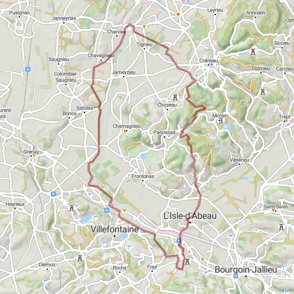
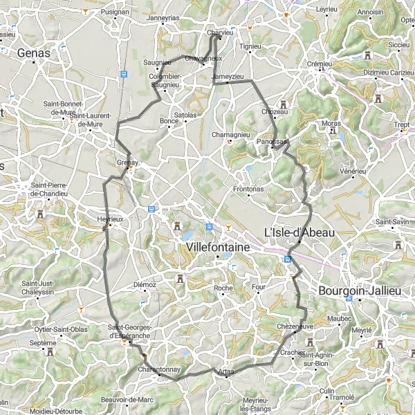
Embark on a exciting gravel ride from Pont-de-Chéruy to Saint-Alban-de-Roche
This gravel ride takes you through diverse terrains and offers breathtaking scenery. With a moderate level of difficulty, it is perfect for experienced gravel riders looking for a challenge. Highlights include the charming village of Saint-Marcel-Bel-Accueil, the natural beauty of Vaulx-Milieu, and the stunning Croix de l'Eperon.
Ride from Niévroz to Pont-de-Chéruy on scenic gravel roads
Embark on a gravel adventure from Niévroz to Pont-de-Chéruy, with a total ascent of 313 meters over a distance of 48 kilometers. This route allows you to explore the idyllic countryside and pass through charming villages like Jailleux and Jons. The ride concludes in Pont-de-Chéruy, where you can take a break and soak in the town's beauty before heading back.
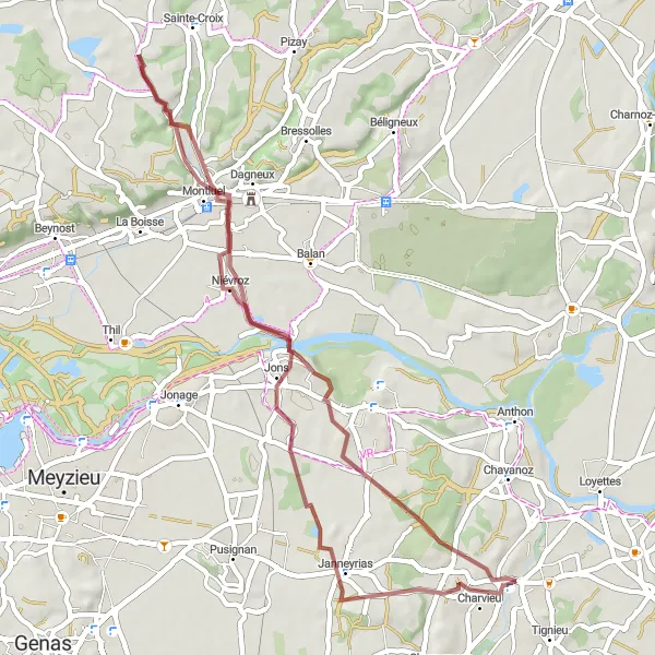
A scenic gravel route from Charvieu to Janneyrias
This gravel route takes you through picturesque towns and villages, with a total ascent of 257 meters over a distance of 44 kilometers. The route starts in Charvieu and passes through Grenay, Genas, and Janneyrias. It offers a mix of rolling terrain and flat sections, providing a great opportunity for gravel enthusiasts of all levels.
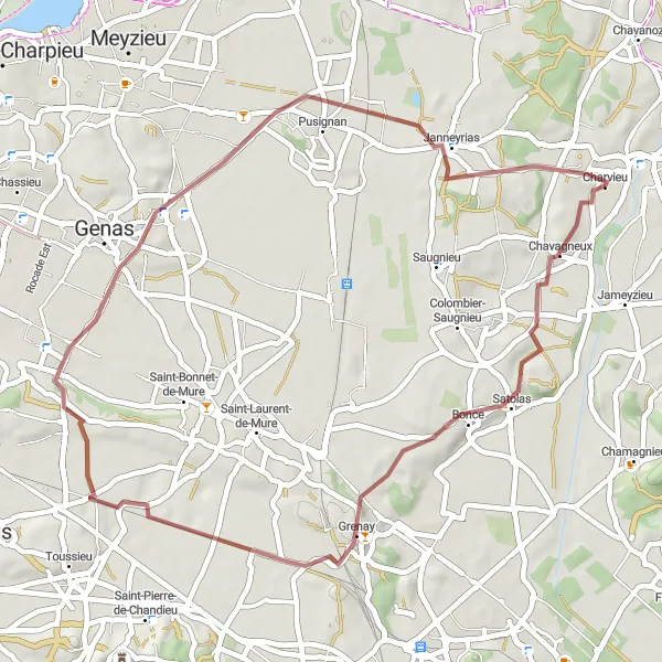
Explore the beautiful route from Charvieu to Grenay
This road cycling route takes you through scenic countryside and charming villages. With a medium level of difficulty, it is suitable for well-trained amateur cyclists. Highlights include the picturesque village of Charvieu, Saint-Marcel-Bel-Accueil with its stunning architecture, and the lively town of Grenay.
Cycling routes nearby:

Nearby regions: