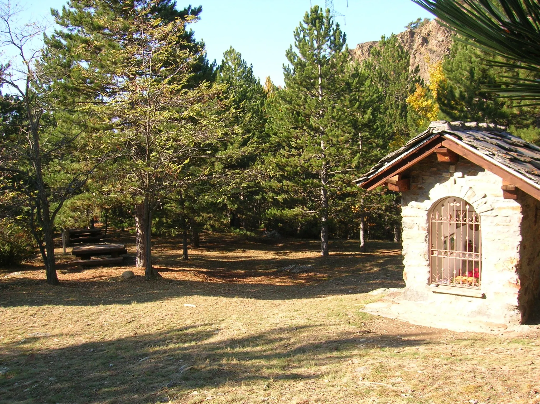
Serene countryside routes in a peaceful environment.
Cycling routes from Tignieu
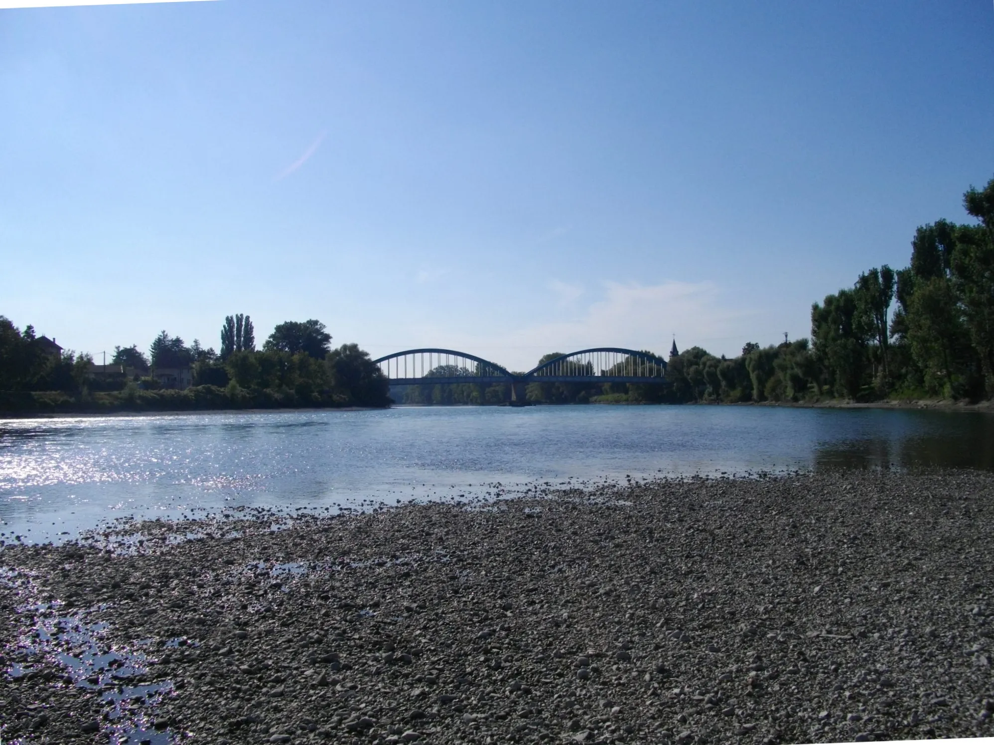
Tignieu is located in the Rhône-Alpes region of France. From a cyclist's perspective, the locality offers a mix of road and gravel cycling routes through scenic countryside and charming villages. While Tignieu may not have any well-known climbs nearby, its quiet and serene environment makes it an ideal destination for leisurely rides and exploration. The region is also close to the Jura Mountains, providing additional opportunities for mountainous rides. With its combination of peaceful routes and picturesque landscapes, Tignieu offers a pleasant cycling experience for all types of cyclists.
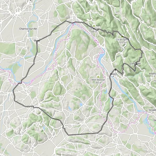
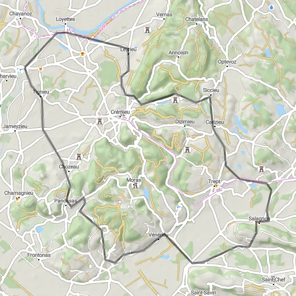
Embark on a challenging journey along the Bugey border
Embark on a challenging cycling adventure along the Bugey border near Tignieu in Rhône-Alpes, France. The Bugey Border Challenge covers a distance of 102 km and includes a climb of 1375 meters. The route starts in Tignieu and takes you through Loyettes, Saint-Sorlin-en-Bugey, Crêt de Pont, Lompnas, Briord, Sermérieu, Trept, and Villemoirieu. This route offers a mix of steep climbs, thrilling descents, and stunning views of the countryside. Overall, it provides a challenging and rewarding cycling experience for experienced riders.
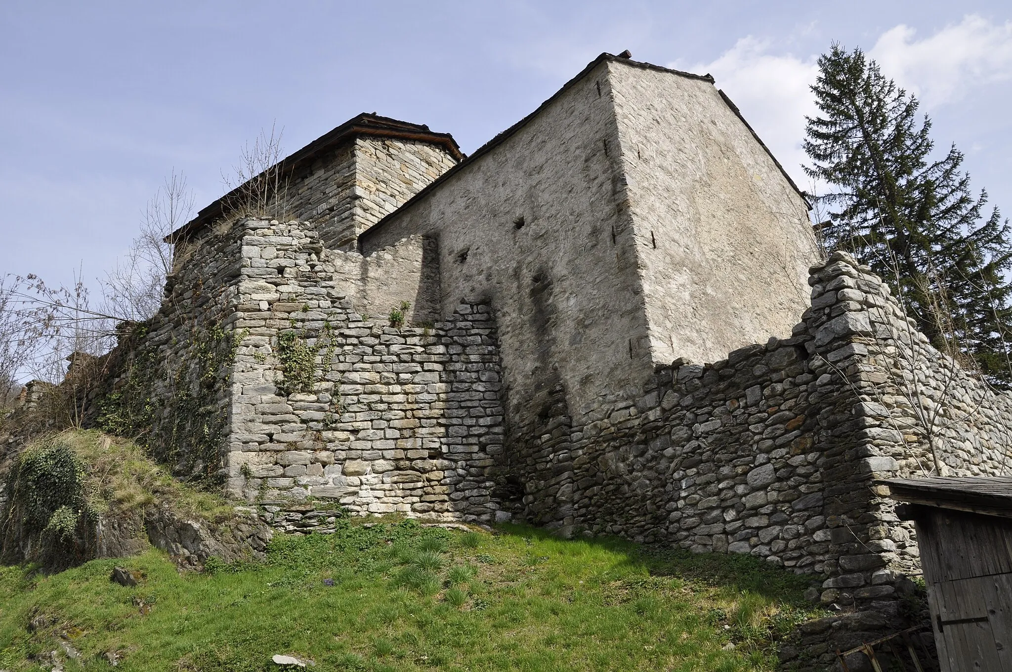
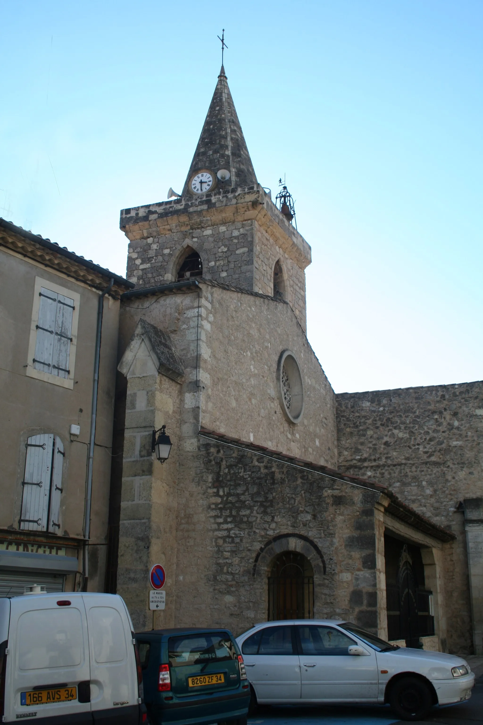
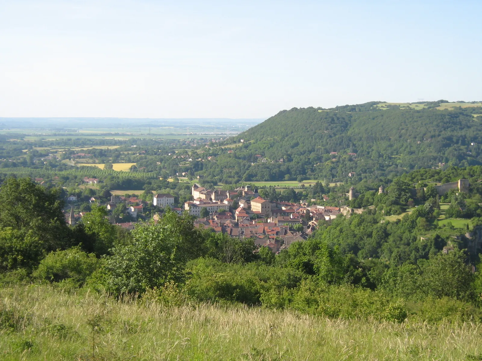
Explore the hidden gems of Hières-sur-Amby and beyond
Prepare for a challenging road cycling adventure on this 56 km route with an ascent of 415 meters. This route offers breathtaking views of the Rhône-Alpes region and takes you through stunning landscapes. Hières-sur-Amby, one of the main highlights of this ride, is renowned for its natural beauty and historical sites. As you continue your journey, you'll also encounter Montalieu-Vercieu, Mont Bayange, Dizimieu, and Villemoirieu. Each of these stops provides unique experiences and opportunities to explore the local culture.
Grenay Gravel Loop
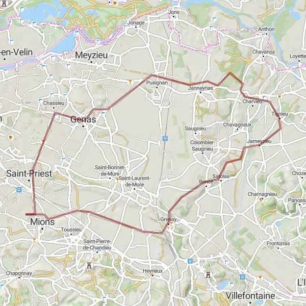
Embark on a gravel adventure through Grenay and its surroundings
Get ready for an exhilarating gravel ride on this 56 km route with an ascent of 253 meters. Grenay, the starting point of this adventure, offers a vibrant cycling community and plenty of cycling-friendly amenities. As you venture into the surrounding areas, you'll encounter highlights such as Mions, Chassieu, Pusignan, and Pont-de-Chéruy. These stops provide diverse landscapes and cultural attractions to explore. With its mix of gravel paths and scenic countryside roads, this route is ideal for gravel enthusiasts looking for a thrilling ride.
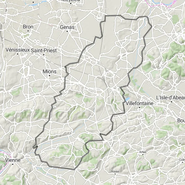
Cycle through the picturesque countryside and experience the charm of Chamagnieu
Embark on a scenic cycling journey through the beautiful countryside near Tignieu in Rhône-Alpes, France. The Tour de la Plaine des Chèvres takes you on a 93 km route with 965 meters of ascent, offering a mix of challenging climbs and breathtaking views. The route begins in Tignieu and highlights include the charming town of Chamagnieu and the scenic vistas of Saint-Quentin-Fallavier, Estrablin, Serpaize, Toussieu, and Janneyrias. Overall, this route offers a well-rounded cycling experience that combines both physical challenges and scenic beauty.
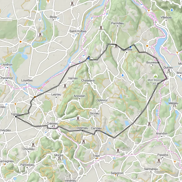
Loyettes Gravel Adventure
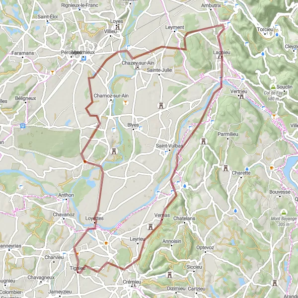
Embark on a gravel adventure through Loyettes and beyond
Experience the thrill of gravel cycling on this 68 km route with an ascent of 285 meters. Suitable for gravel enthusiasts, this ride will take you through scenic landscapes and rural areas near Tignieu. Loyettes, a small village along the route, offers a peaceful and picturesque setting. As you continue your journey, you'll encounter other highlights such as Saint-Maurice-de-Gourdans, Chazey-sur-Ain, Vaux-en-Bugey, Saint-Vulbas, and Leyrieu. Each of these stops offers various attractions and scenic spots.
Saint-Romain-de-Jalionas Loop
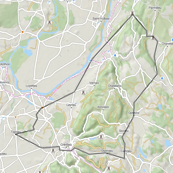
Discover the charming village of Saint-Romain-de-Jalionas
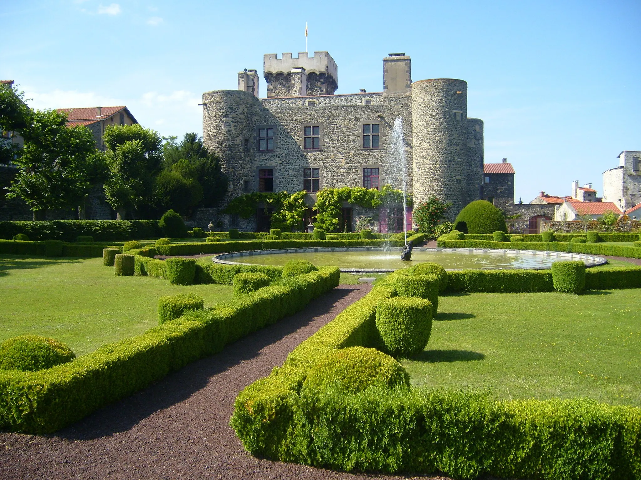
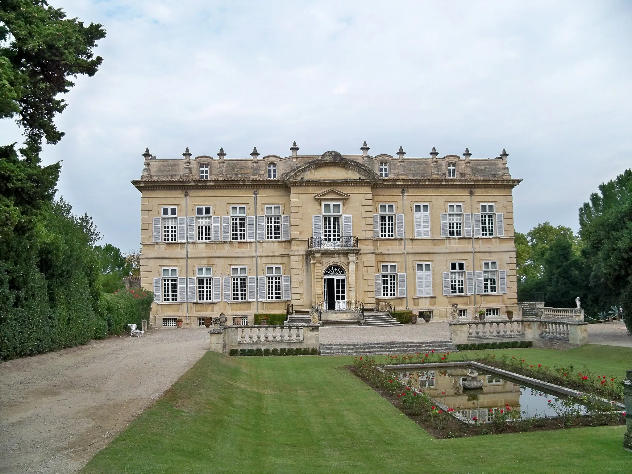
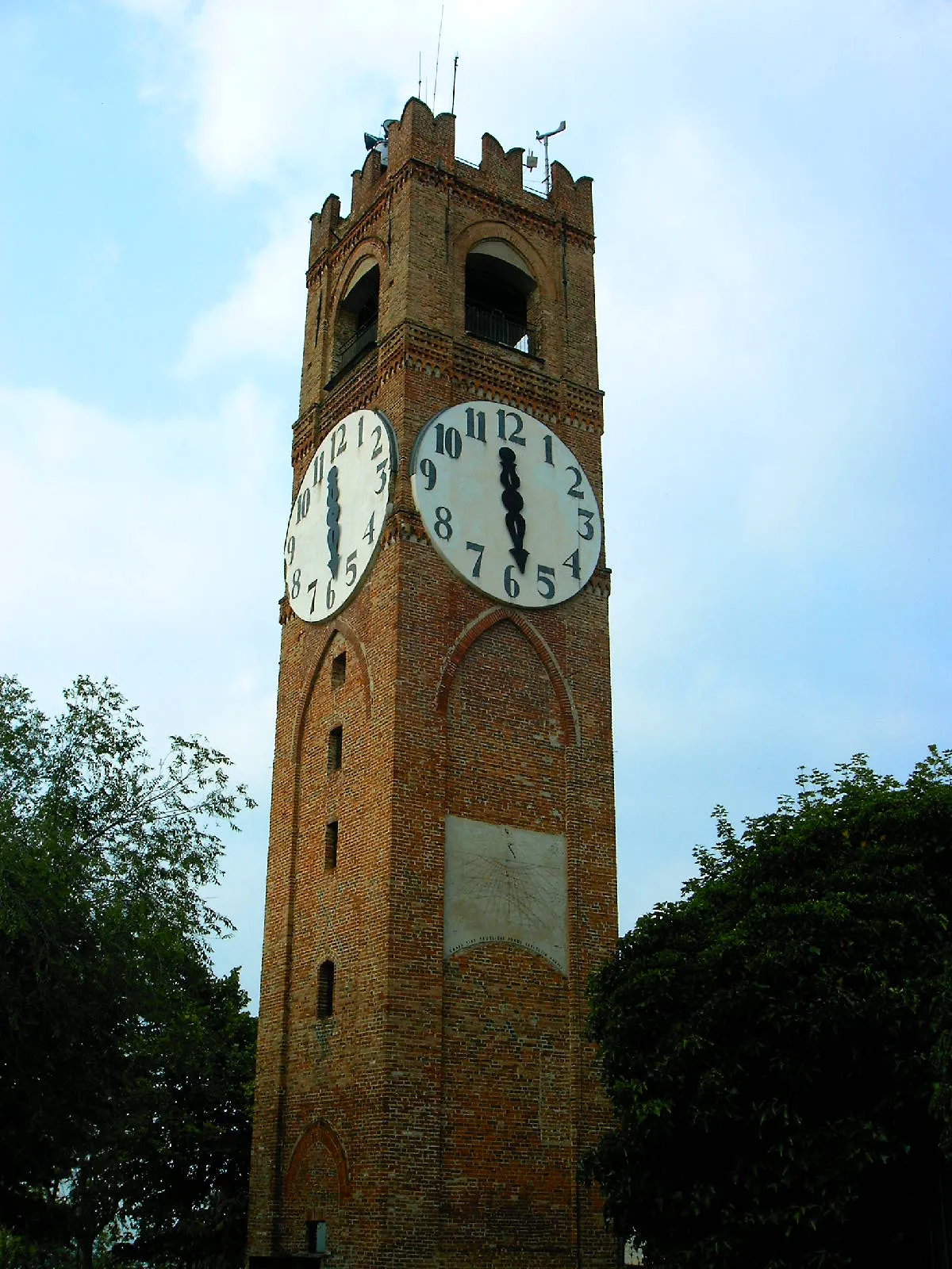
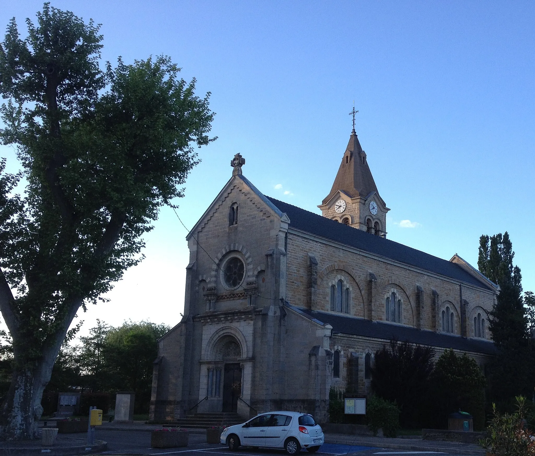
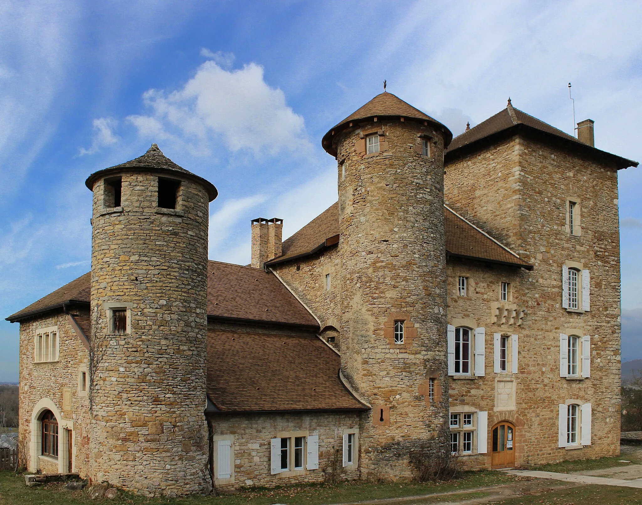
This road cycling route takes you through picturesque landscapes and charming villages in the Rhône-Alpes region. With a total distance of 46 km and an ascent of 304 meters, it offers a moderate challenge for well-trained amateur cyclists. The highlight of this route is Saint-Romain-de-Jalionas, where you can explore its historical buildings and enjoy the peaceful atmosphere. Other notable highlights along the route include Hières-sur-Amby, Siccieu, and Crémieu, each offering unique experiences and attractions.
Cycle through rolling hills and charming villages
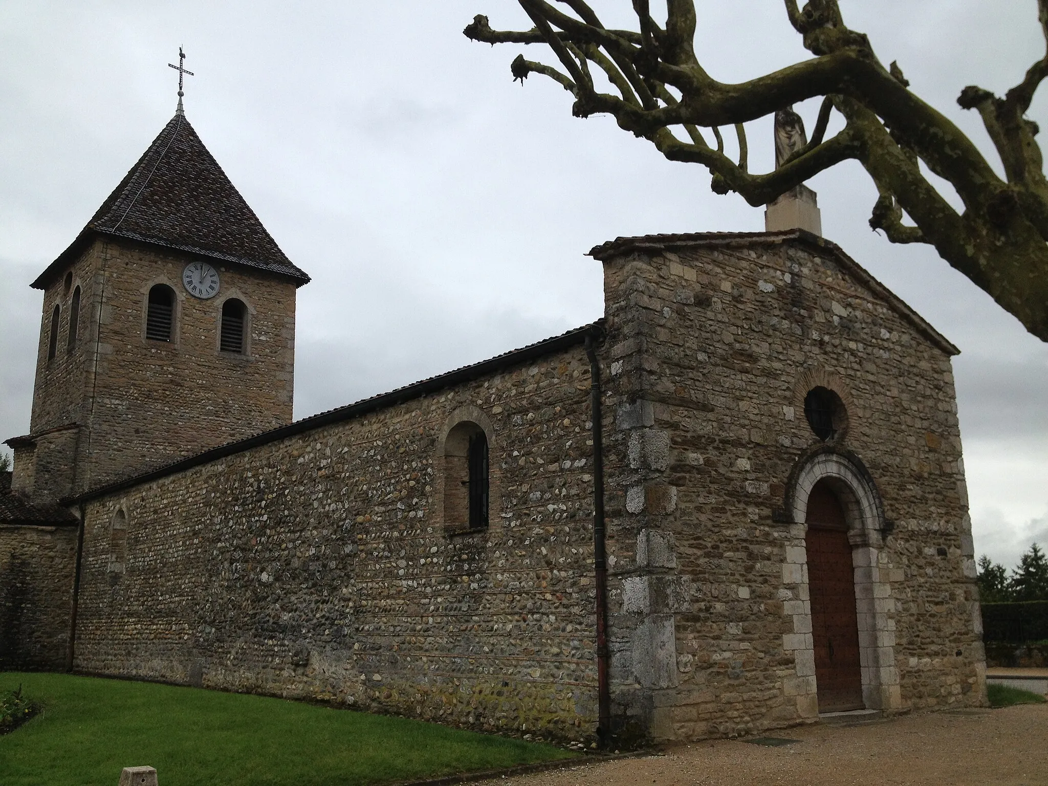
Explore the beautiful countryside of Rhône-Alpes as you navigate through the Leyrieu Loop. This route takes you through picturesque landscapes, dotted with quaint villages and stunning views. With a moderate difficulty level and a length of 55 kilometers, it is suitable for all well-trained amateur cyclists. Prepare to be enchanted by the scenic beauty and tranquility of this route.

Take on the scenic and serene Saugnieu Gravel Loop
Get off the beaten path and explore the scenic beauty of the Saugnieu Gravel Loop near Tignieu in Rhône-Alpes, France. This 40 km gravel route offers 163 meters of ascent and takes you through the charming village of Colombier-Saugnieu and Genas, before returning to Tignieu. The bucolic landscapes and peaceful atmosphere make this route ideal for those seeking a serene cycling experience. Highlights along the route include Colombier-Saugnieu's quaint streets, Genas' captivating surroundings, and the tranquil countryside near Pont-de-Chéruy. This moderately challenging route rewards riders with its natural charm.
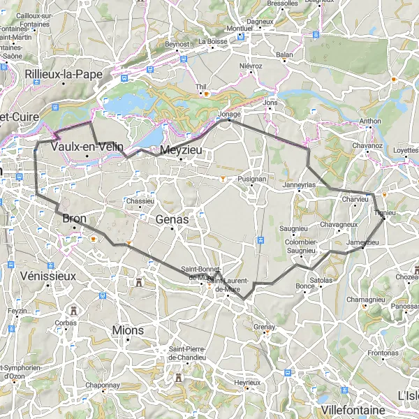
Discover the hidden gems along the La Jetée Loop
Explore the hidden gems and beautiful landscapes near Tignieu on the La Jetée Loop. This 68 km cycling route features 268 meters of ascent, offering a mix of scenic countryside views and charming towns. Starting in Tignieu, highlights along the route include Saint-Laurent-de-Mure, Bron, Décines-Charpieu, La Jetée, Jonage, and Pont-de-Chéruy. This route is suitable for cyclists of intermediate skill levels. It allows you to enjoy the picturesque French countryside while also passing through vibrant towns with local cafes and restaurants.
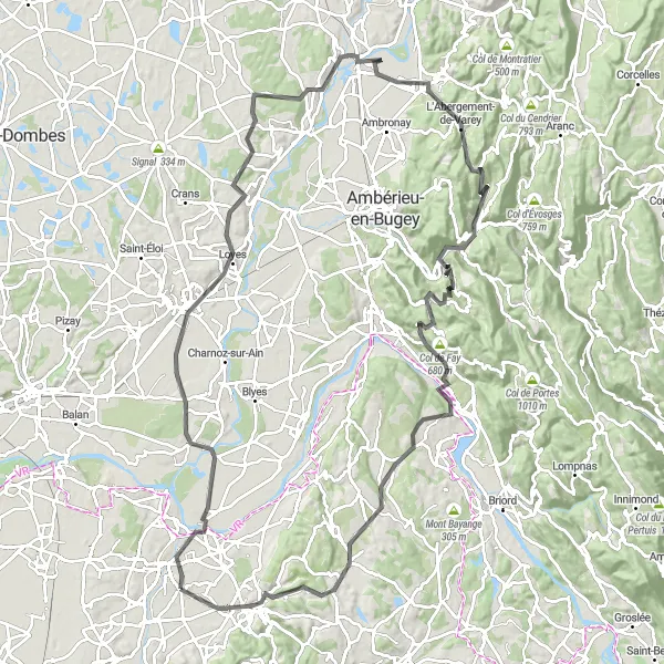
Embark on a challenging journey through stunning landscapes
The Meximieux Adventurer is a thrilling cycling route that will test your skills and endurance. With an ascent of 1442 meters and a distance of 120 kilometers, this route is recommended for experienced cyclists. As you pedal through the picturesque region of Rhône-Alpes, you will encounter breathtaking views, historic sites, and charming villages along the way. Admire the architectural beauty of Meximieux, soak in the tranquility of L'Abergement-de-Varey, and be captivated by the natural splendor of Saint-Rambert-en-Bugey. This route guarantees an unforgettable cycling experience.
Cycling routes nearby:


Nearby regions: