Scenic Loop to La Sablière and Col de France
A road cycling route starting from Saint-Etienne-du-Bois
Road cycling tour with stunning mountain views
Map
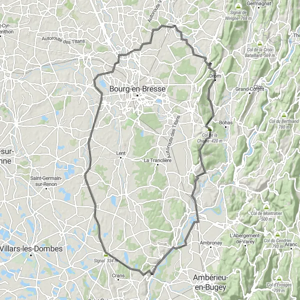
Embark on a breathtaking road cycling tour starting from Saint-Étienne-du-Bois, and explore the scenic landscapes of Rhône-Alpes region. This 101-kilometer route takes you through picturesque towns, including Meillonnas, Saint-Martin-du-Mont, Châtillon-la-Palud, and Saint-Paul-de-Varax. With a challenging ascent of 772 meters, this route is suitable for experienced cyclists who are looking for a rewarding adventure.
road
101 km
772 m
Tough
Route profile
Highlights on the route
0 km
0 km
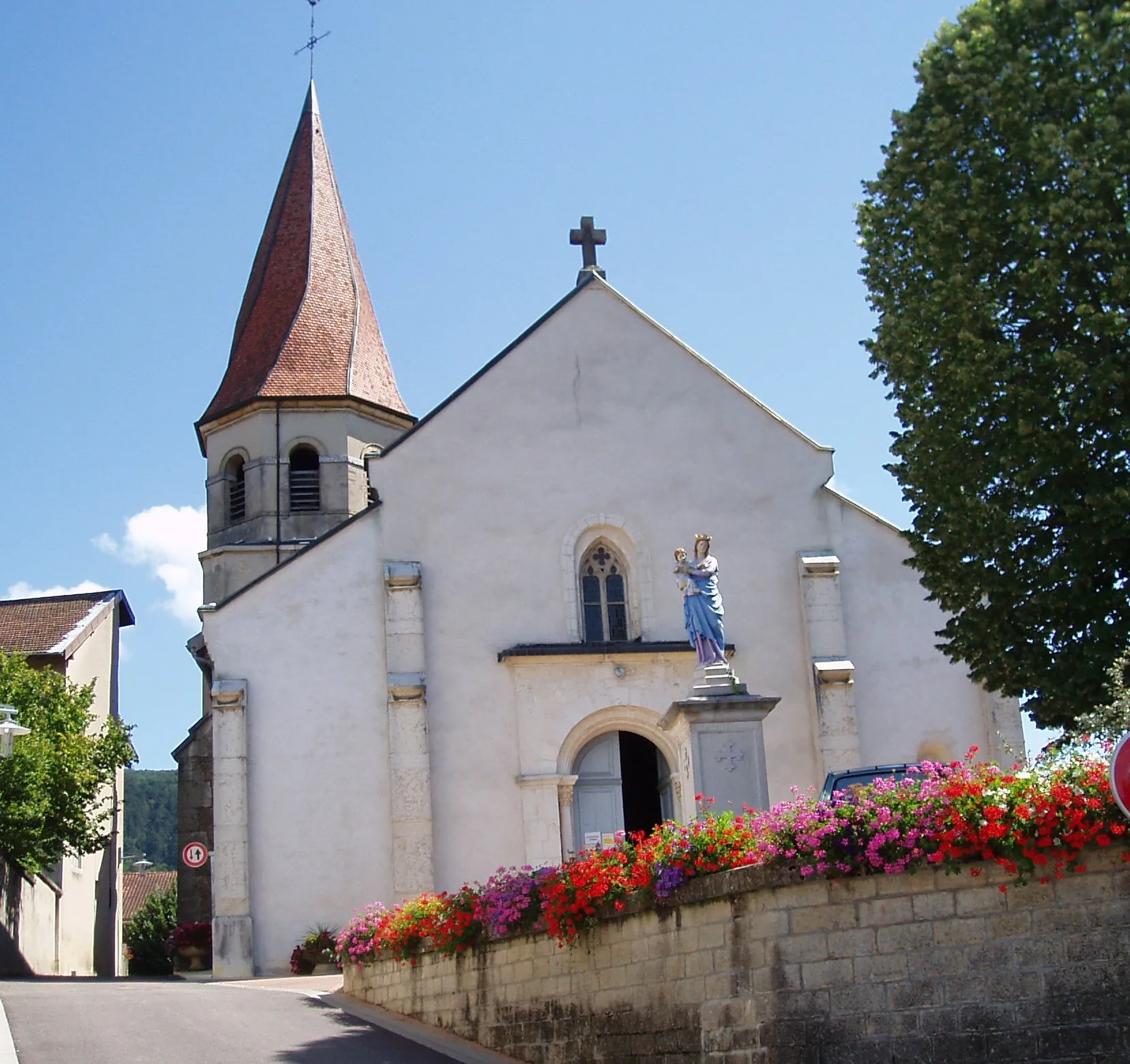
Start: Saint-Étienne-du-Bois Village centerSaint-Étienne-du-Bois: Thrilling cycling near Mont Ventoux.
Saint-Étienne-du-Bois is situated in the Rhône-Alpes region of France. As a cyclist, you can expect challenging rides in this area, thanks to the hilly terrain and steep climbs. One famous cycling spot nearby is Mont Ventoux, known for its grueling ascent and its historic place in the Tour de France. The region offers a variety of road cycling routes, with stunning views of the French Alps. Tourism-wise, Saint-Étienne-du-Bois is close to cities like Lyon and Grenoble, offering plenty of cultural attractions to explore after your ride.7 km
7 km
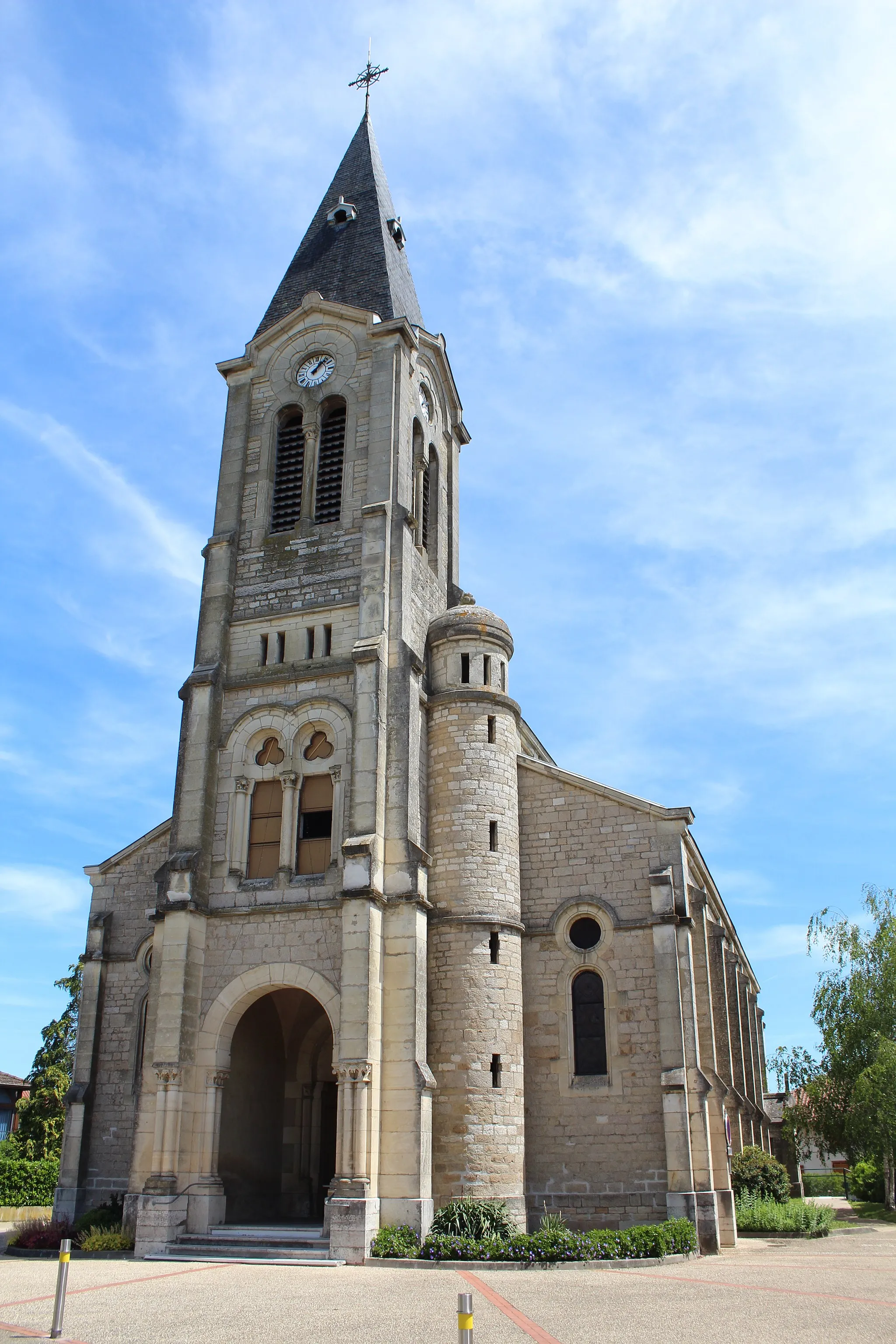
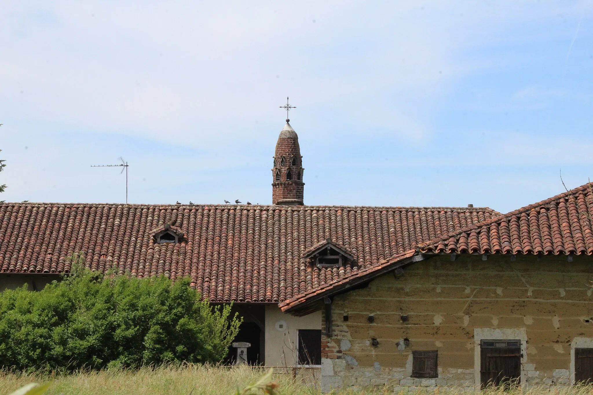
MeillonnasVillageMake a stop at the charming town of Meillonnas, known for its well-preserved medieval church and beautiful countryside views.
10 km
10 km
Col de France374 mMountain PassConquer the Col de France, a famous mountain pass offering breathtaking views of the surrounding mountains and valleys.
21 km
21 km
Col de la Chaise420 mMountain PassAscend the challenging slopes of Col de la Chaise and enjoy stunning panoramic vistas along the way.
29 km
29 km
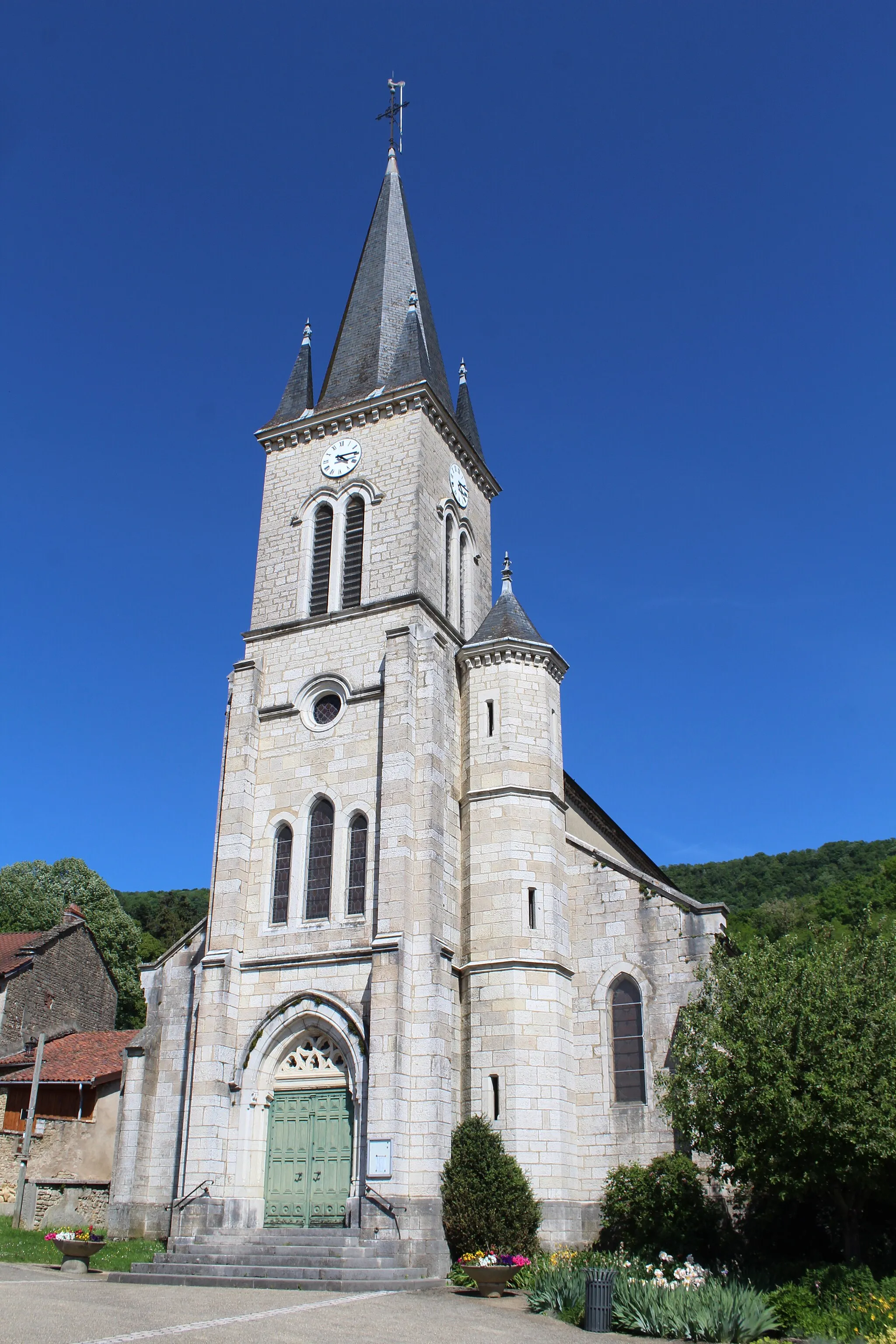
Saint-Martin-du-MontVillageExplore the historic town of Saint-Martin-du-Mont, with its impressive churches, winding streets, and charming old buildings.
47 km
47 km
Châtillon-la-PaludVillagePass through the quaint village of Châtillon-la-Palud, nestled in a picturesque valley and surrounded by lush green meadows.
56 km
56 km
Signal334 mPeakStop at the Signal viewpoint, offering captivating views of the Rhône-Alpes region and the distant mountain ranges.
68 km
68 km
Saint-Paul-de-VaraxVillageDiscover the idyllic village of Saint-Paul-de-Varax, known for its well-preserved medieval architecture and quaint streets.
92 km
92 km
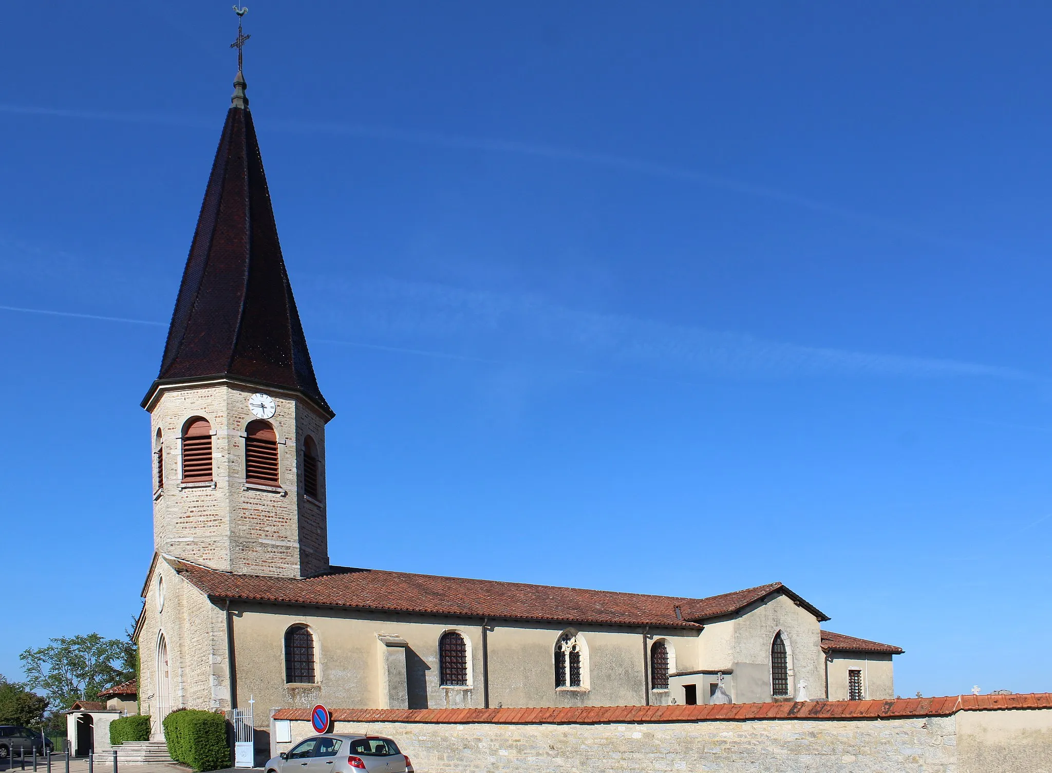
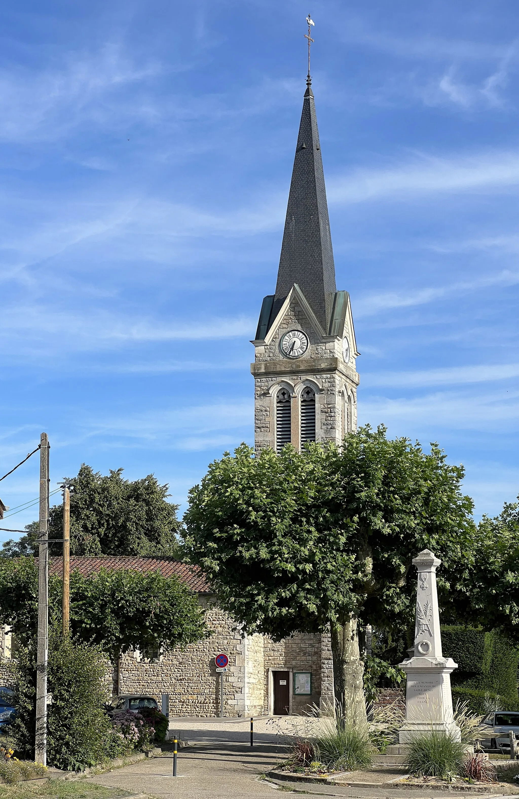
ViriatVillageVisit Viriat, a charming town with a rich historical heritage, including an impressive church and beautiful old houses.
100 km
100 km
La SablièreHamletEnd your journey at La Sablière, a scenic spot surrounded by lush forests and peaceful streams.
101 km
101 km
Finish: Saint-Étienne-du-Bois Village centerSaint-Étienne-du-Bois: Thrilling cycling near Mont Ventoux.
Cycling routes from Saint-Etienne-du-Bois:
Picturesque Ride to Étrez via Béréziat Montrevel-en-Bresse and Saint-Étienne-du-Bois Road Cycling Exploring Courmangoux and Chavannes-sur-Suran Gravel Route Explore Courmangoux and Vescles on a Challenging Road Route Jasseron and Bourg-en-Bresse Gravel Adventure Germagnat and Château de Treffort Gravel Loop Challenge Yourself on the Col de Matafelon Road Route Scenic Loop to La Sablière and Col de France Belleydoux and Col de la Rousse
Epic Gravel Challenge Montaplan and Certines Scenic Road Ride Discovering the Beauty of Bresse Road Route Around the Mont de Turgon Gravel Ride
Cycling routes nearby: