Sérézin-du-Rhône Loop
A gravel cycling route starting from Saint-Fons
A scenic gravel route showcasing the beauty of Sérézin-du-Rhône
Map
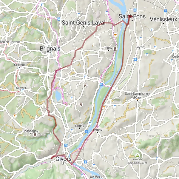
Embark on a 39 km gravel journey starting from Saint-Fons, taking you through picturesque landscapes. This route is moderately difficult, with an ascent of 265 meters. Along the way, you'll come across highlights such as the charming town of Givors and the stunning Montagny. Take a brief detour to Vourles, a delightful village with a rich history, before reaching the endpoint at Pierre-Bénite.
gravel
39 km
265 m
Tough
Route profile
Highlights on the route
0 km
0 km
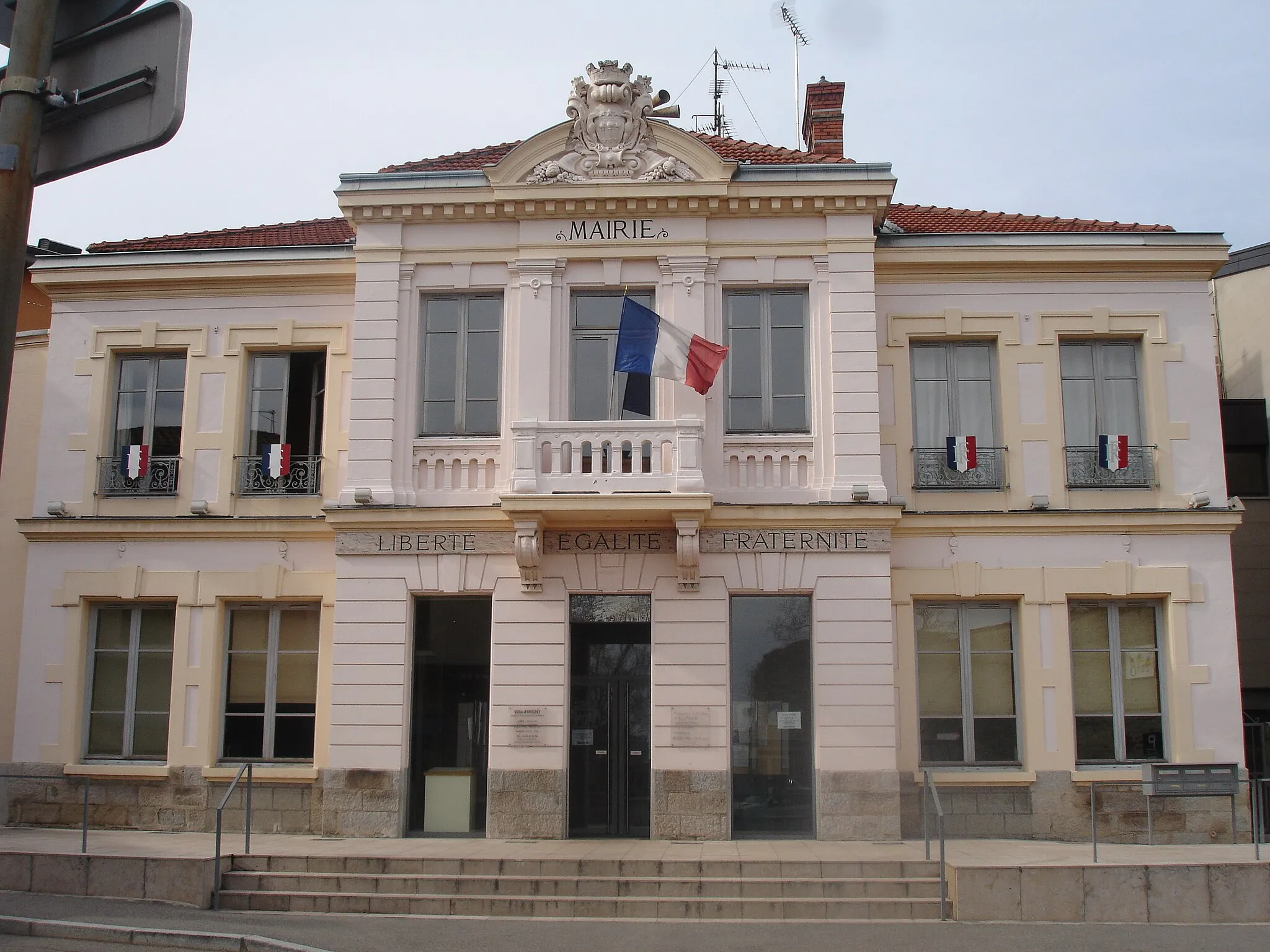
Start: Saint-Fons City centerSaint-Fons: Urban and nature cycling in Saint-Fons.
Saint-Fons, situated in the Rhône-Alpes region of France, offers a mix of urban and natural cycling opportunities. It is well-connected by roads to nearby towns and offers designated cycling lanes in certain areas. While Saint-Fons might not be a popular tourist destination, cycling enthusiasts can enjoy exploring the local streets and parks. Nearby attractions include Grand Large, a large lake offering nice views. However, there are no world-famous cycling spots or significant climbs in the vicinity.8 km
8 km
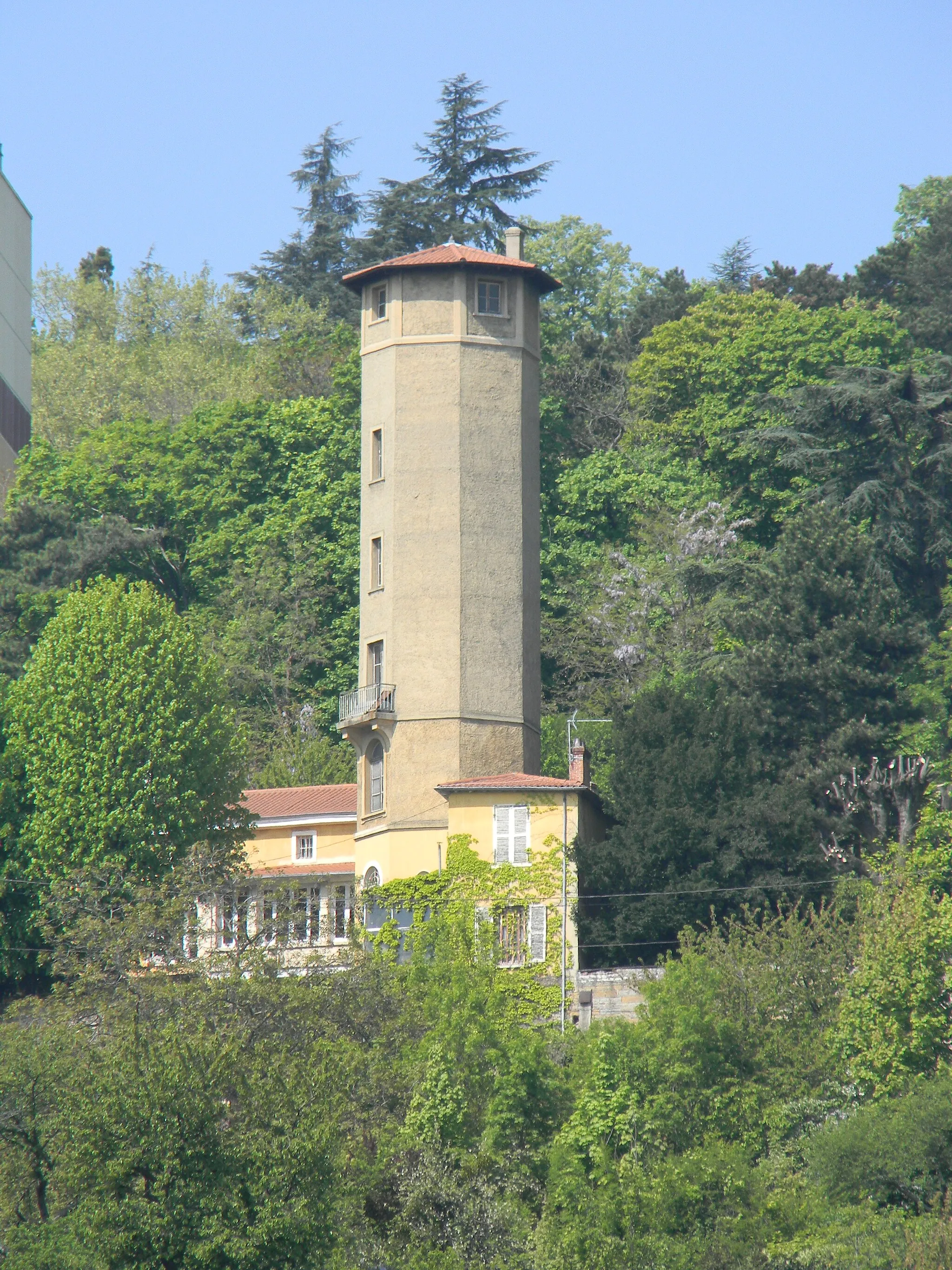
Sérézin-du-RhôneVillageLocated along the route, Sérézin-du-Rhône offers breathtaking views of the Rhône River and the surrounding countryside.
16 km
16 km
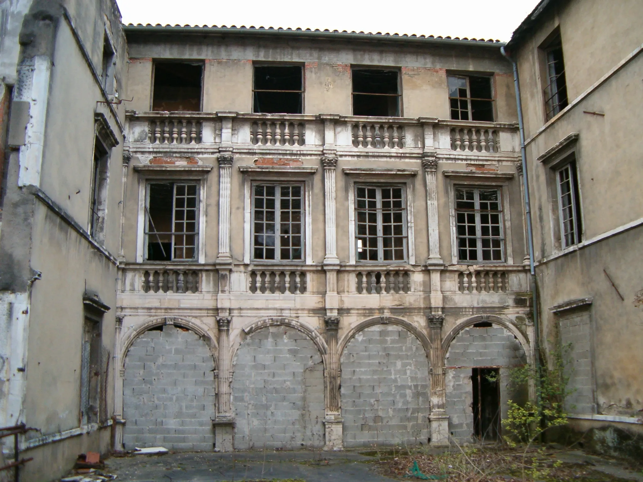
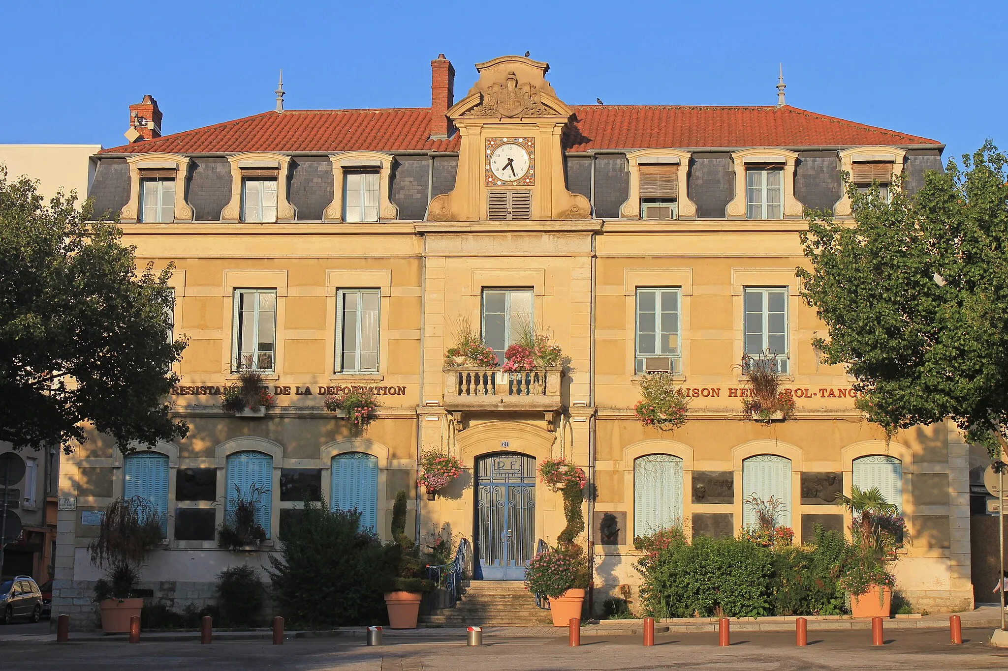
GivorsTownGivors, a vibrant town known for its historical monuments and beautiful architecture, is a must-see highlight.
23 km
23 km
MontagnyVillageMontagny, with its vineyards and quaint streets, is a perfect spot to take a break and enjoy the scenery.
29 km
29 km
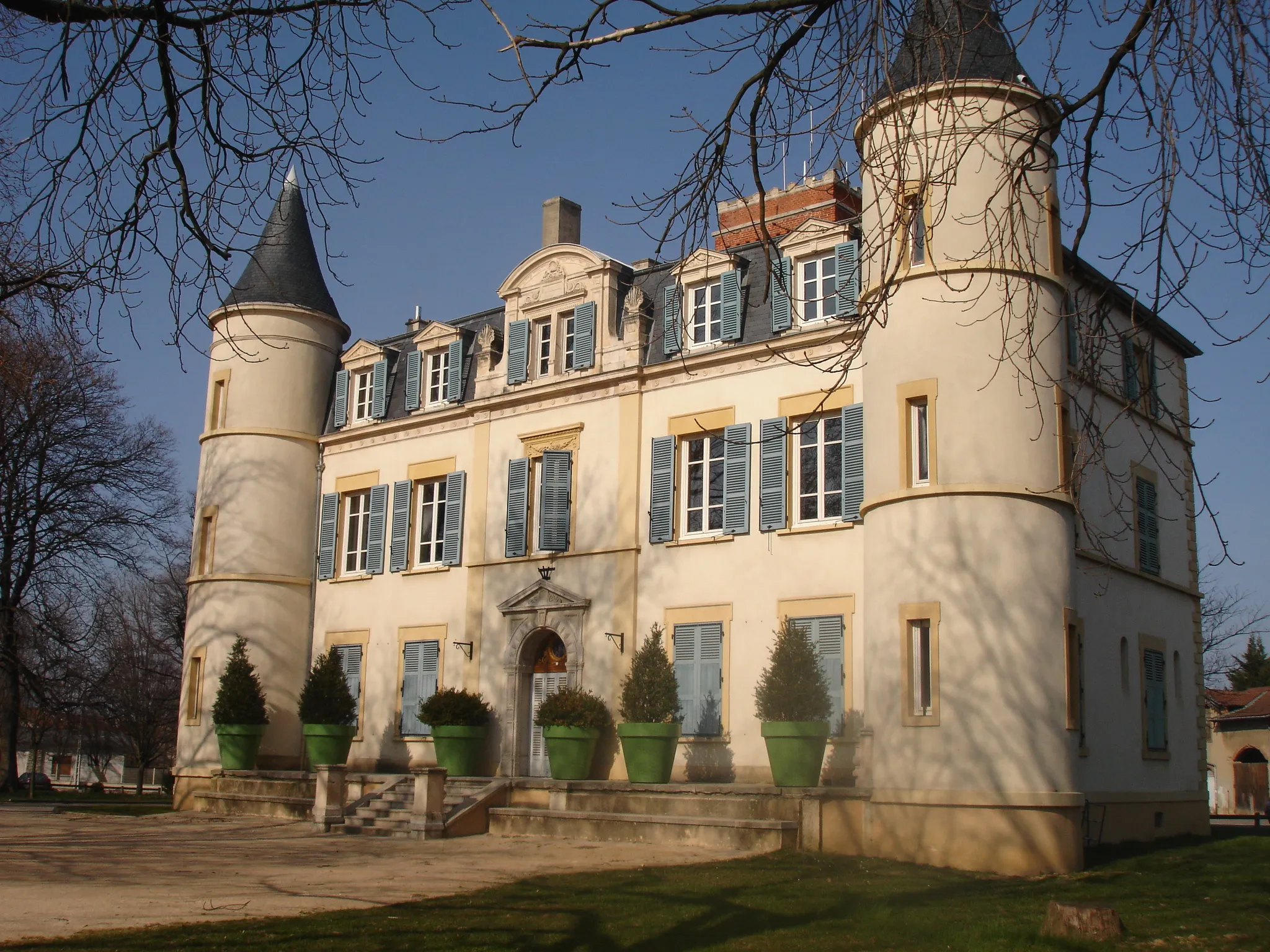
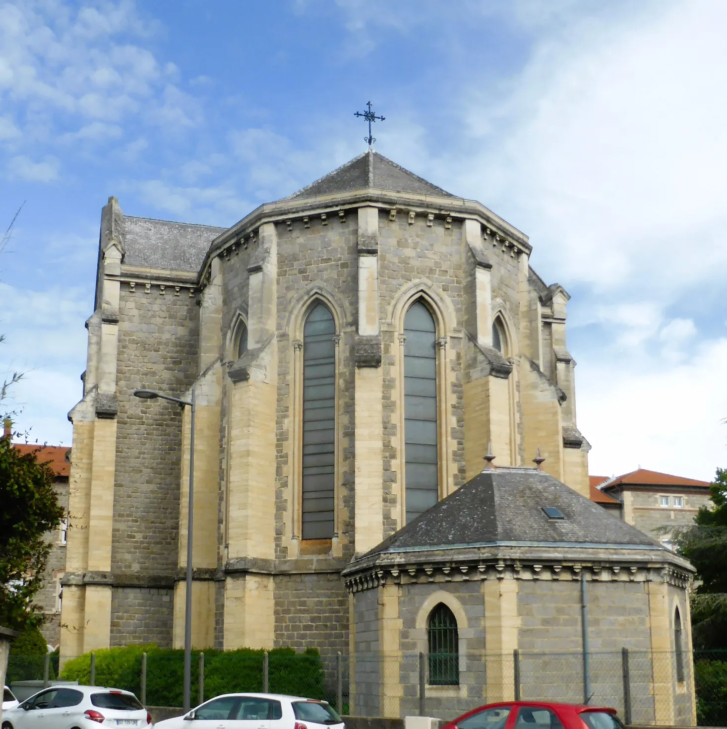
VourlesVillageVourles boasts charming medieval buildings, including the Church of Saint-André, which dates back to the 12th century.
35 km
35 km
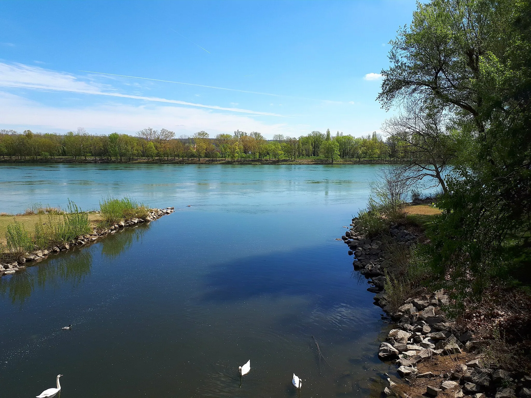
Pierre-BéniteVillagePierre-Bénite, located near Lyon, offers a mix of urban and natural beauty, with parks and riverside pathways to explore.
39 km
39 km
Finish: Saint-Fons City centerSaint-Fons: Urban and nature cycling in Saint-Fons.
Cycling routes nearby: