Diverse cycling routes with breathtaking views
Cycling routes from Saint-Georges-de-Commiers
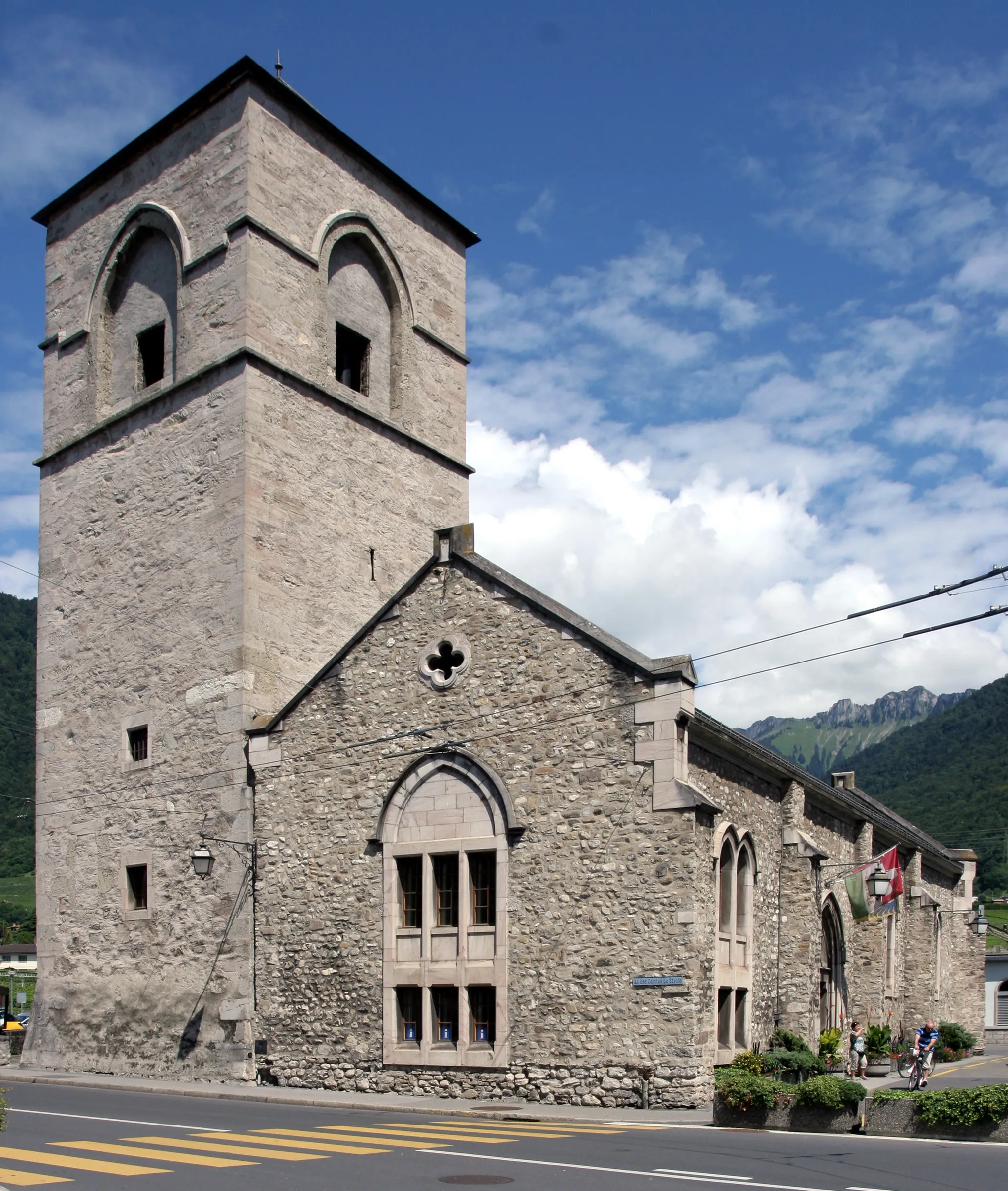
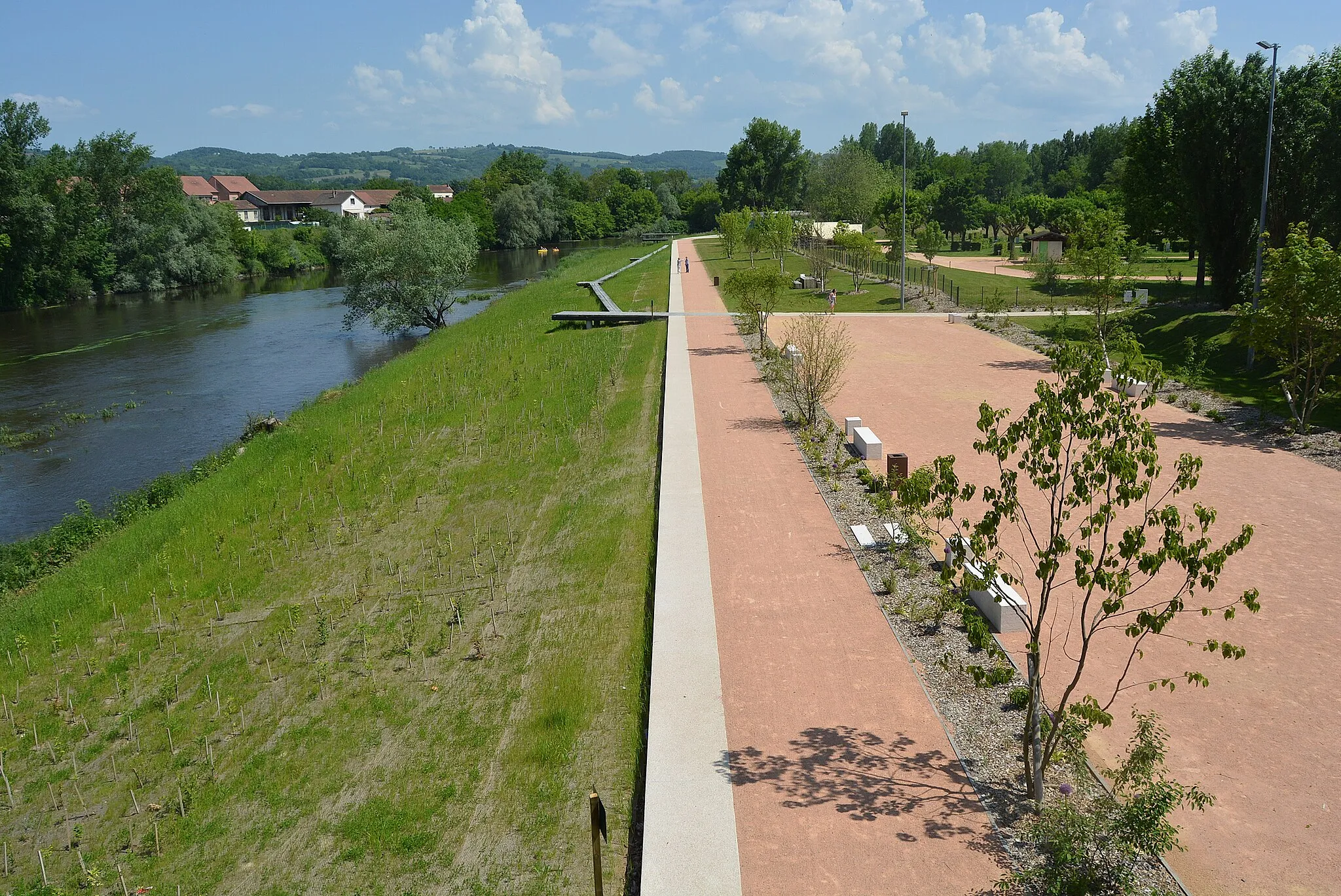
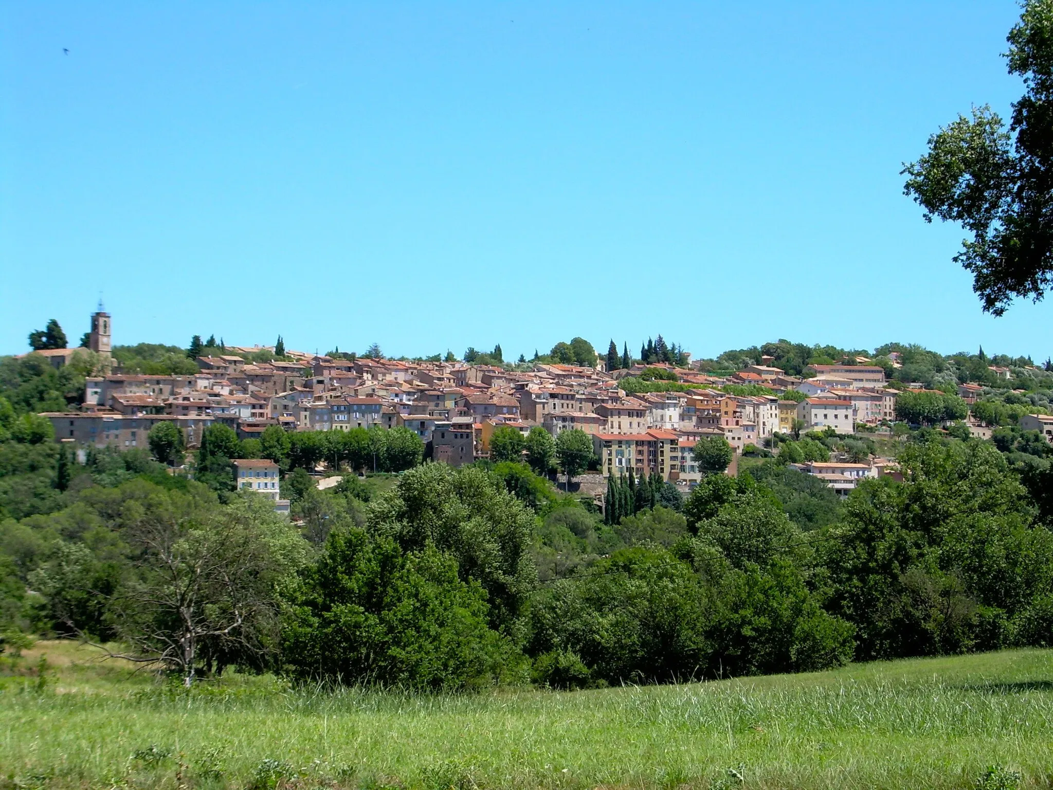
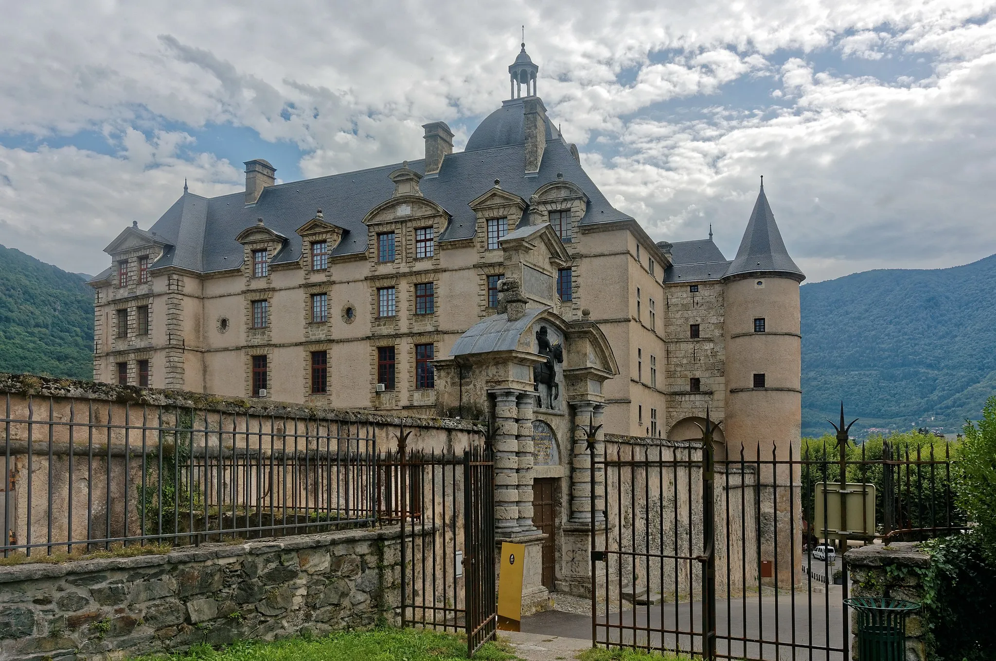
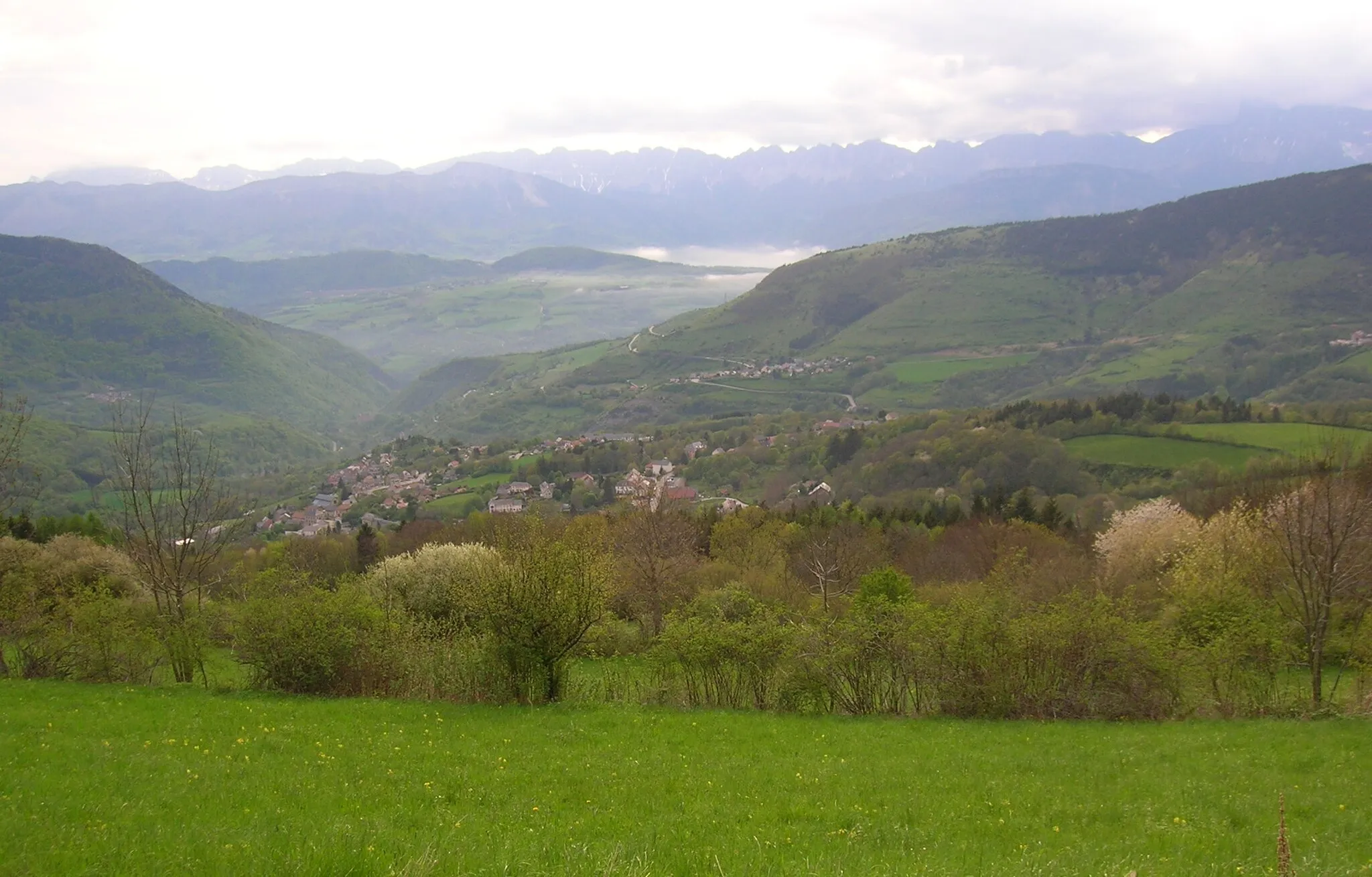
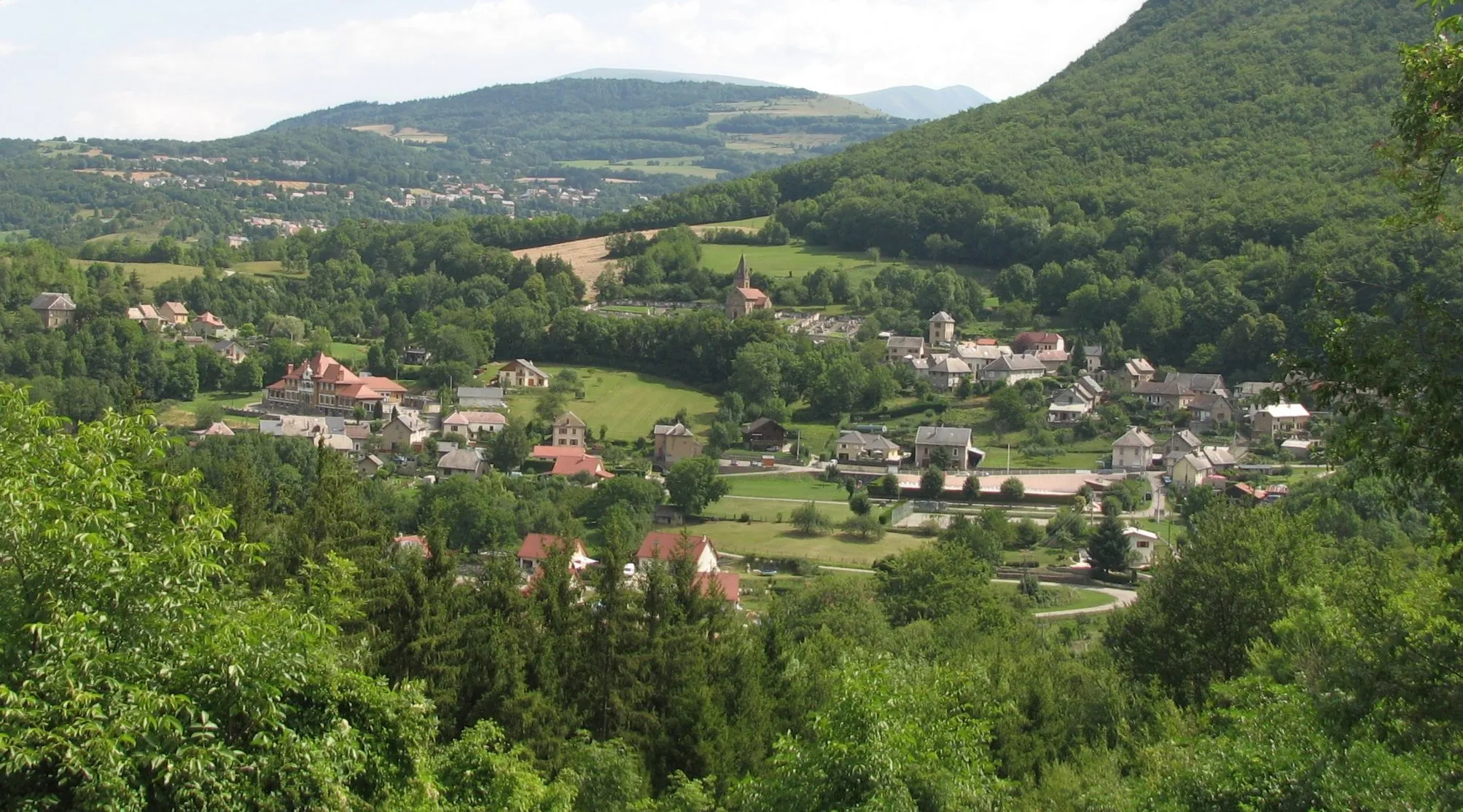
Saint-Georges-de-Commiers is a locality situated in the picturesque Rhône-Alpes region of France. From a cyclist's perspective, it offers diverse cycling opportunities with both road and gravel routes available. Cyclists can explore the charming local villages and enjoy the stunning natural beauty of the surrounding landscapes. One of the notable cycling-friendly spots nearby is the Col de la Morte, a famous climb that offers breathtaking views at the summit. Saint-Georges-de-Commiers is an excellent choice for cyclists looking for both challenging climbs and scenic rides.
The Gravel Expedition
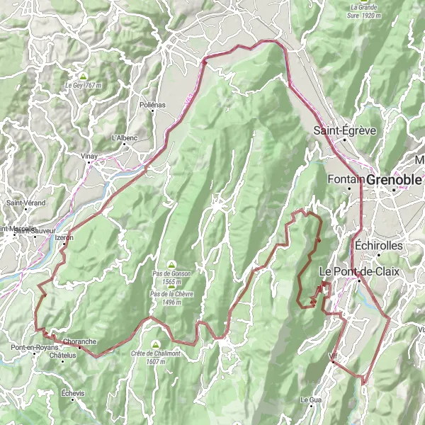
Venture into the off-road wilderness on this gravel cycling escapade
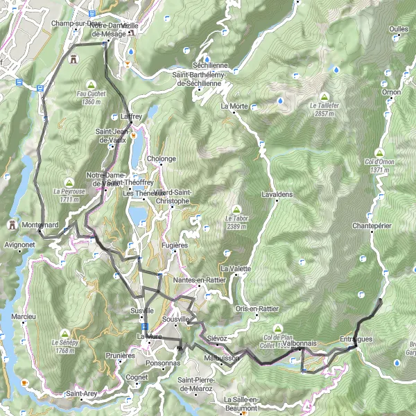
An immersive adventure for gravel cyclists, this 150-kilometer round-trip starting near Saint-Georges-de-Commiers truly tests stamina and endurance. With a challenging ascent of 3318 meters, riders will discover the hidden gems along the way, including picturesque viewpoints, quaint villages, and natural wonders such as Le Petit Brion and the stunning view at Grand Cheval.
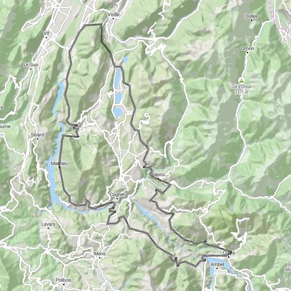
Witness the charm of Champ-sur-Drac en route to Quet-en-Beaumont
Embark on this road cycling adventure starting from Saint-Georges-de-Commiers and experience the beauty of the Rhône-Alpes region in France. This 115 km route will take you through picturesque villages and breathtaking landscapes. With a total ascent of 2619 meters, the ride is challenging but incredibly rewarding. As you cycle, you'll encounter highlights such as Cordéac, known for its stunning vistas, and Belvédère du Sautet, where you can enjoy panoramic views of the Sautet Reservoir. Conclude your journey in Quet-en-Beaumont, a quaint town boasting rich history and captivating architecture.
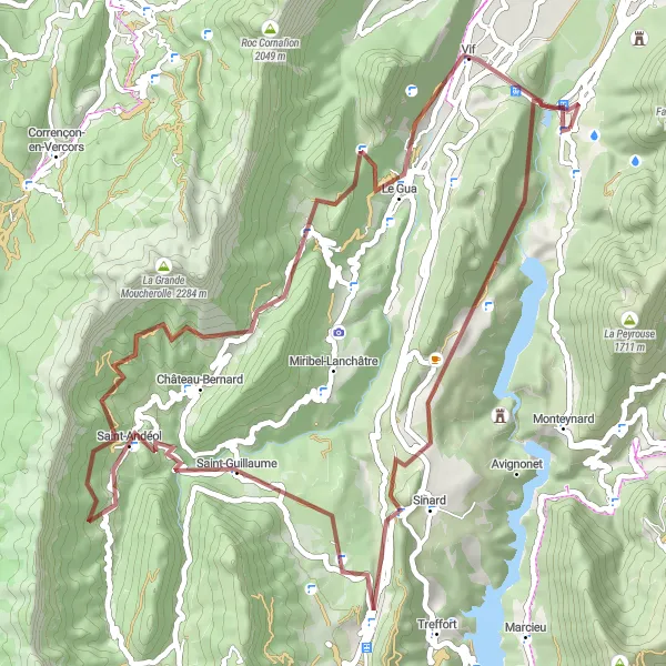
Experience the splendid nature of Rocher de l'Éperrimont and visit Monestier-de-Clermont
Discover the wonders of Rhône-Alpes on this gravel adventure starting from Saint-Georges-de-Commiers. Covering a distance of 64 km and an ascent of 2005 meters, the route offers a challenging yet rewarding experience for gravel enthusiasts. Highlights along the way include Rocher de l'Éperrimont, featuring stunning cliffs and panoramic views of the surroundings, and Monestier-de-Clermont, a town with medieval charm and fascinating architectural heritage. Traverse picturesque landscapes and revel in the marvels of nature as you cycle through this captivating region.
The Saut du Moine Circuit
Relish the challenging climb to the iconic Le Saut du Moine
This road cycling route starting near Saint-Georges-de-Commiers offers a thrilling experience for cyclists. With a total ascent of 578 meters over a distance of 58 kilometers, the highlight of the route is the notable Le Saut du Moine, a picturesque location embedded with intriguing mythology.
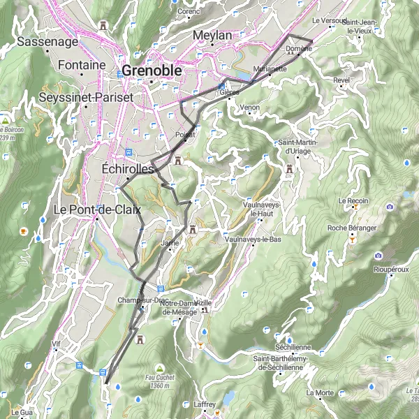
Road Route to Grenoble
Cycle through scenic countryside to reach Grenoble
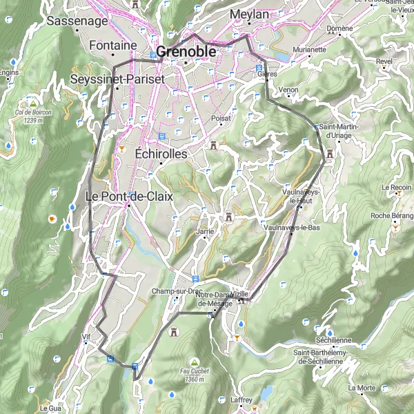
Covering a distance of 57 km, this road route with 840 meters of ascent takes cyclists through beautiful French countryside towards the city of Grenoble. Highlights include locations such as Saint-Georges-de-Commiers, Grenoble, Molard, Vaulnaveys-le-Haut, Moutet, and Tour. It offers moderate difficulty, making it suitable for well-trained amateur riders seeking a mix of natural beauty and cultural sights.
Tackle the challenge of hilly terrains and reach new heights on this road cycling circuit
Ideal for adventurous souls seeking a tough road cycling challenge, this route originating near Saint-Georges-de-Commiers covers 98 kilometers with a formidable ascent of 2008 meters. Known for its breathtaking views and stunning landmarks, including Champ-sur-Drac and Col de La Festinière, this tour promises an unforgettable cycling experience.
The Vercors Loop
Embark on a mesmerizing journey through the stunning mountainous landscapes of the Vercors Regional Nature Park
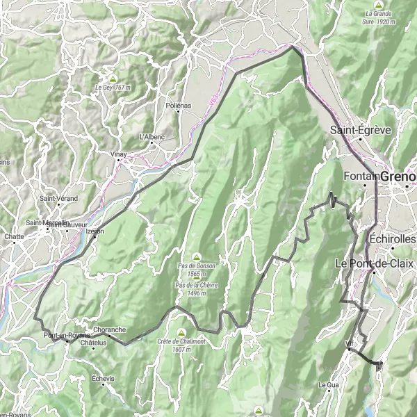
This 146-kilometer road cycling loop starting near Saint-Georges-de-Commiers offers an unparalleled opportunity to explore the breathtaking Vercors Regional Natural Park. Offering challenging ascents and thrilling descents, this route reveals hidden gems such as Col de Comboire and the majestic views from Lans-en-Vercors.
A picturesque gravel route with notable highlights
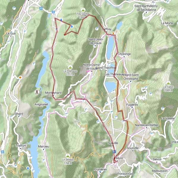
This 52 km gravel route near Saint-Georges-de-Commiers offers scenic views and interesting highlights along the way. With 1300 meters of ascent, it provides a challenging but rewarding experience for cyclists. The route features attractions such as Fau Cuchet, Laffrey, La Mure, Le Cimon, Col de La Festinière, La Motte-d'Aveillans, and Saint-Georges-de-Commiers.
Cycling routes nearby:


Nearby regions: