A cycling-friendly town in Rhône-Alpes.
Cycling routes from Vizille
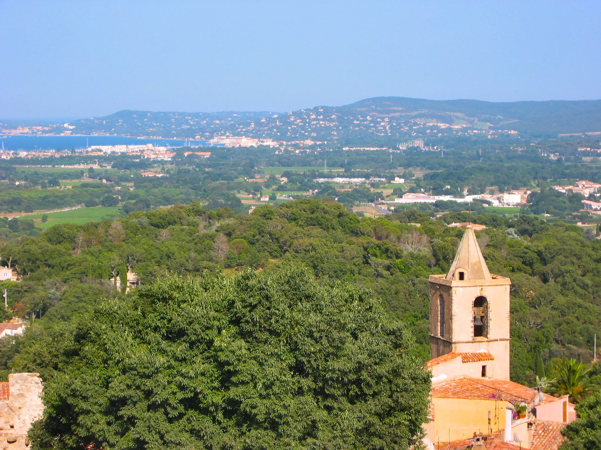
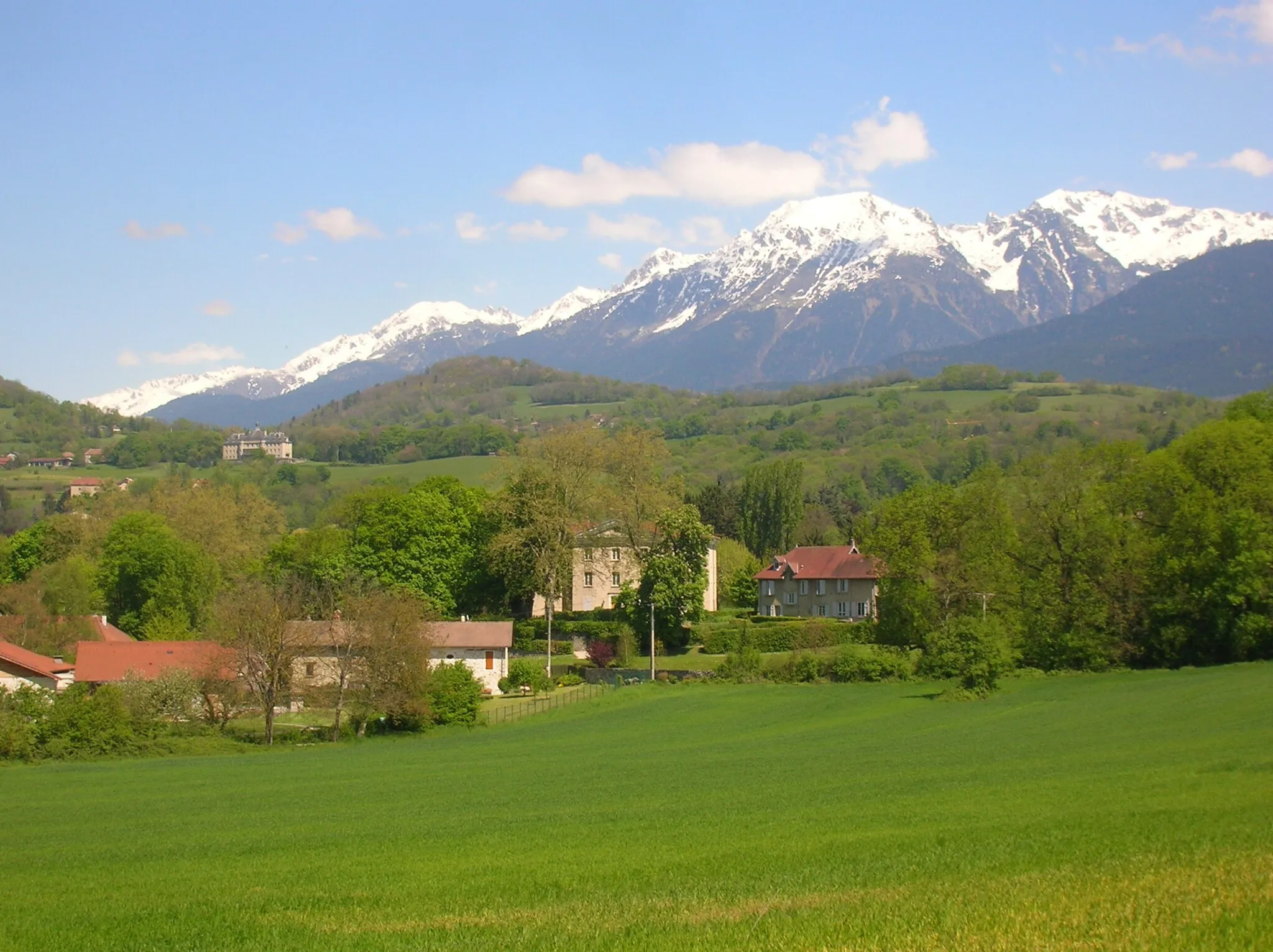
Vizille is a town located in the Rhône-Alpes region of France. As a road and gravel cyclist, you will find this locality to be a suitable base for exploring the region's cycling routes. The roads around Vizille are well-maintained and offer diverse terrain options for different cycling preferences. One of the famous nearby cycling climbs is the Col de la Croix de Fer, which is a challenging ascent with stunning mountain views. Additionally, Vizille is close to the Ecrins National Park, providing cyclists with scenic rides through beautiful natural landscapes. Overall, Vizille is a great cycling-friendly area with various routes catering to different skill levels.
Scenic Road Adventure
Embark on a scenic road adventure near Vizille
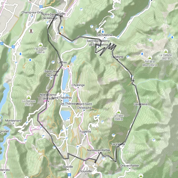
Enjoy a picturesque road cycling experience with this 80 km route. This road adventure features an ascent of 2,051 m, attracting passionate cyclists looking for a challenge. Highlights along this route include the stunning views from Roc du Château and striking natural formations in Siévoz. The route also passes through Lavaldens, a charming village oozing with natural beauty. Immerse yourself in the scenic landscapes as you pedal through this epic road adventure near Vizille.

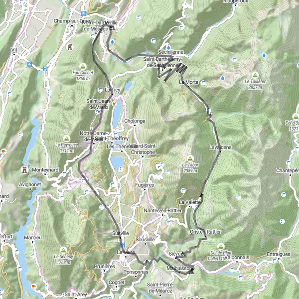
Conquer challenging mountainous landscapes on this road route near Vizille
Embark on an unforgettable adventure through the mountainous landscapes near Vizille with this 93 km road route. Suitable for experienced cyclists, this route boasts an ascent of 2,139 m, challenging even the most skilled riders. Highlights along the way include Séchilienne, a captivating town surrounded by awe-inspiring mountain peaks, and Livet, a picturesque village steeped in natural beauty. With panoramic views from Entraigues and the charming village of Villard-Saint-Christophe, this road route is designed to offer an exhilarating experience to all who attempt it.
Gravel Adventure
Step off the beaten path and explore the natural wonders of the Rhône-Alpes region on this gravel cycling route.
Embark on this 90 km gravel cycling adventure that takes you through some of the most scenic areas in the Rhône-Alpes region of France. With an ascent of 2258 meters, this route is more demanding but offers unique experiences for adventurous cyclists. The difficulty level is set at 5, suitable for well-trained amateur cyclists. The epicness factor is also 4, as the route offers unforgettable landscapes and challenging terrains.
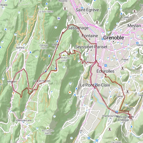
Embark on an adventure through the scenic foothills near Vizille
Experience the beauty of the foothills near Vizille with this 90 km gravel route. With a moderate ascent of 533 m, it is suitable for well-trained amateur cyclists looking for a scenic and enjoyable ride. Highlights of this route include the picturesque Mont Jayet and the charming town of Échirolles. Cyclists will also have the chance to visit L'Île du Pont, a serene island perfect for relaxation. Immerse yourself in the natural wonders of this route, as you pedal through breathtaking landscapes and explore the hidden gems that await.
The Vizille Epic

Breathtaking scenery and challenging climbs make this route a must for cycling enthusiasts.
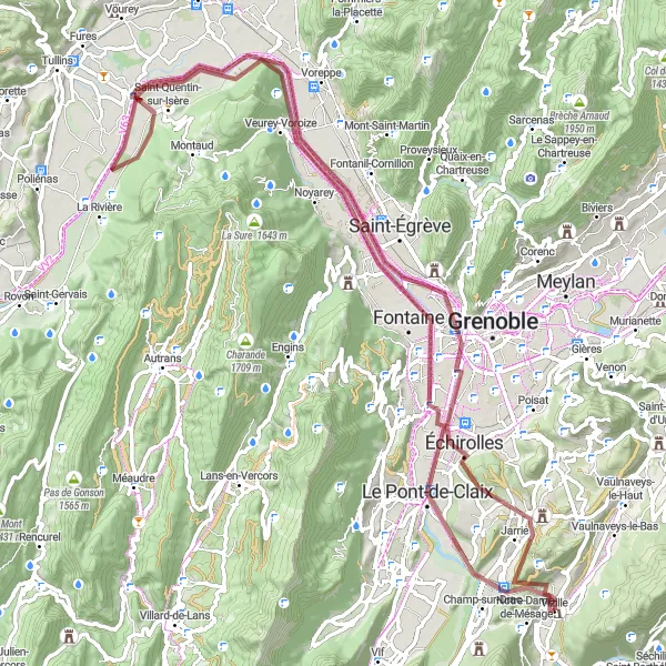
Embark on this 100 km road cycling adventure that takes you through the stunning Rhône-Alpes region of France. With an ascent of 2034 meters, this route will push your limits and reward you with unique landscapes. The difficulty level is set at 4, suitable for well-trained amateur cyclists. The epicness factor is also 4, as the route offers amazing views and memorable experiences.
Mountain Challenge
Conquer the mountains on this challenging road cycling route through the Rhône-Alpes region.
Prepare for a tough but rewarding 67 km road cycling adventure through the Rhône-Alpes region of France. With an ascent of 1692 meters, this route is ideal for cyclists seeking a challenge. The difficulty level is set at 4, suitable for well-trained amateur cyclists. The epicness factor is also 3, as the route offers stunning mountain views and thrilling descents.
Test your skills with this challenging mountain adventure near Vizille
Prepare for an adrenaline-fueled experience with this 108 km road route through the mountains surrounding Vizille. This challenging route features an ascent of 2,070 m, making it suitable for experienced and well-trained amateur cyclists seeking a demanding yet rewarding journey. Highlights along this route include the majestic Montagne de Grand Rochefort and the stunning views from Saint-Nizier-du-Moucherotte. With multiple scenic viewpoints and charming towns dotted along the way, this route promises an unforgettable mountain adventure near Vizille.
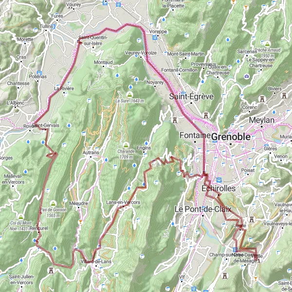
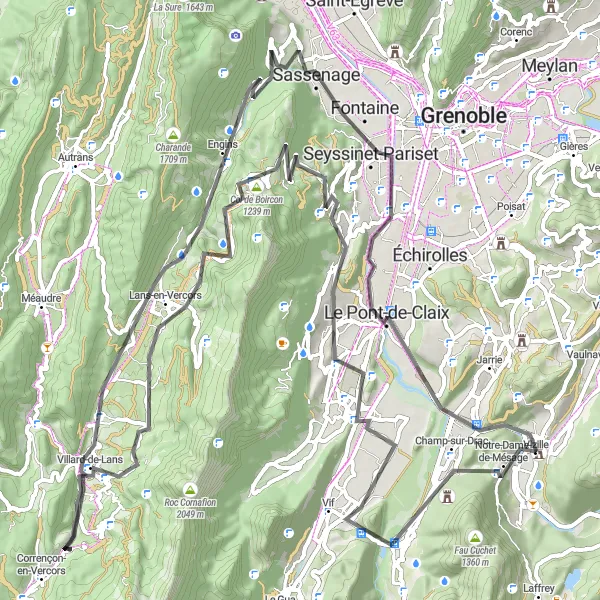
Discover breathtaking gorges along this challenging gravel route
Embark on a thrilling adventure through the stunning gorges of Échaillon. The route encompasses a distance of 127 km with 2,849 m of ascent, making it a challenging and exhilarating experience for gravel cyclists. With highlights such as the panoramic view from Lans-en-Vercors and the ruins of château du Roy, this route offers a blend of natural beauty and historical intrigue. Get ready to feel the adrenaline rush as you conquer the scenic gravel paths of this epic route.

Experience the challenging ascent to Col du Banchet from Vizille
This road cycling route is a thrilling adventure, featuring an intense climb up to Col du Banchet. With 2133 meters of ascent over a distance of 107 kilometers, it is a difficult challenge suitable for very well-trained amateurs. The journey begins in Vizille and passes through La Mure, Mens, Le Percy, and Monestier-de-Clermont before reaching the pinnacle at Col du Banchet. The highlights along the route include the quaint town of Vizille and the beautiful scenery of Champ-sur-Drac. Overall, this route offers a highly rewarding cycling experience, combining challenging climbs with scenic landscapes.
Cycling routes nearby:


Nearby regions: