Cycling Paradise in Rhône-Alpes
Cycling routes from Eybens
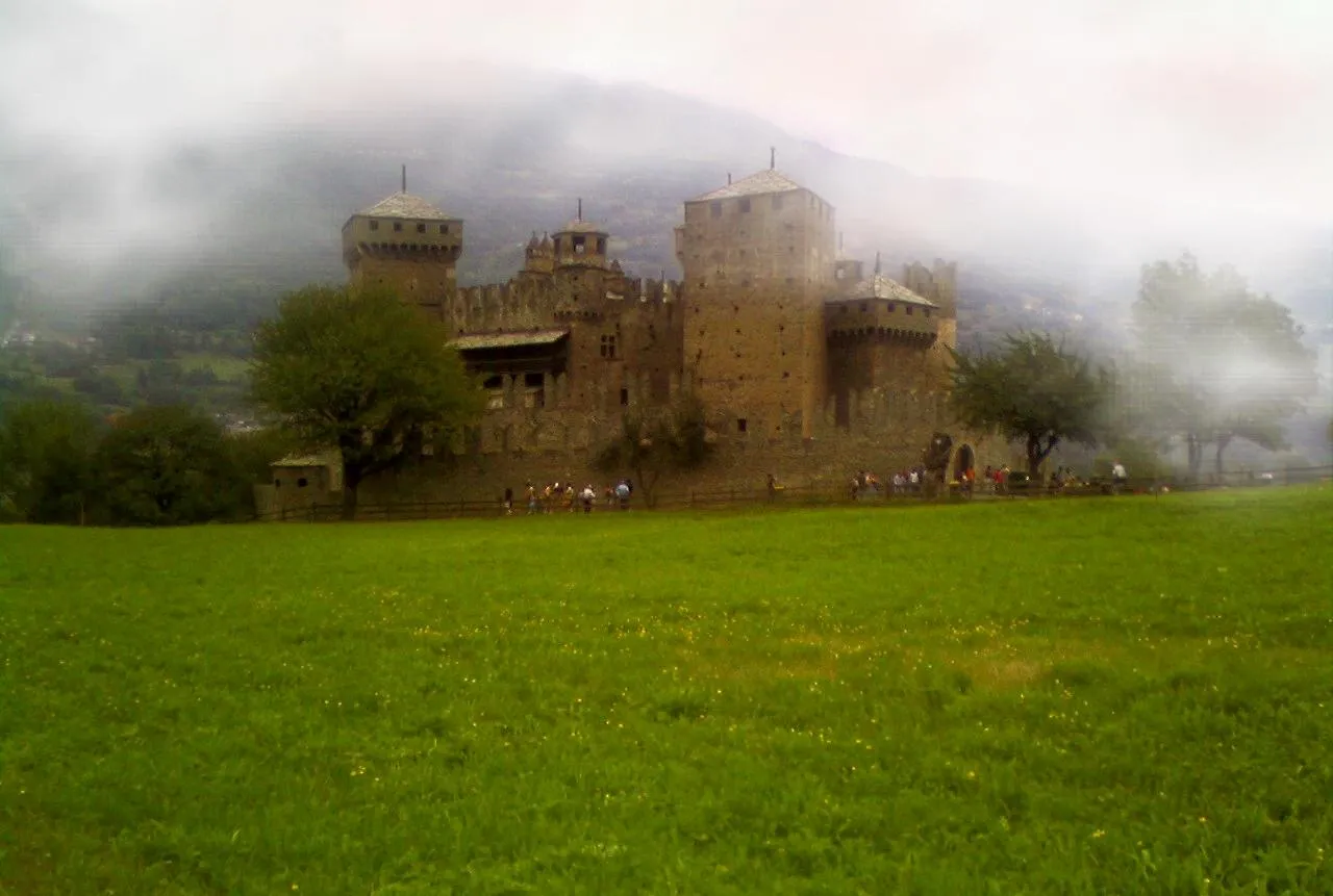
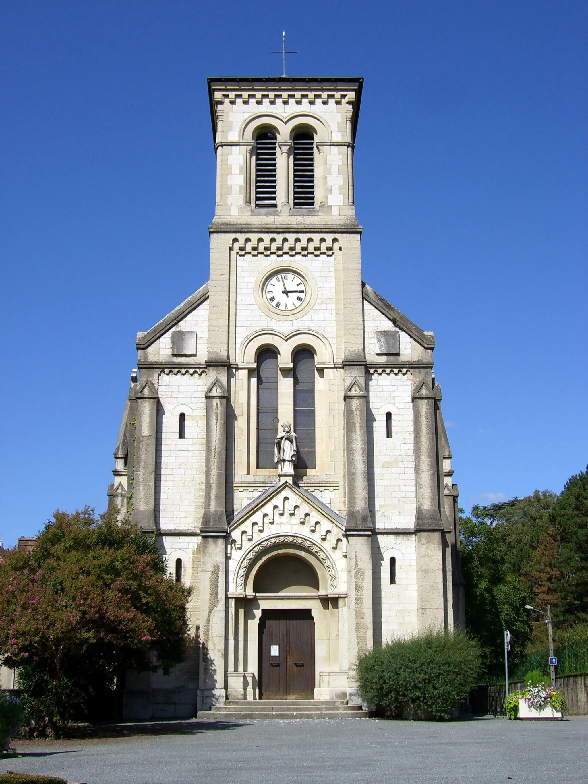
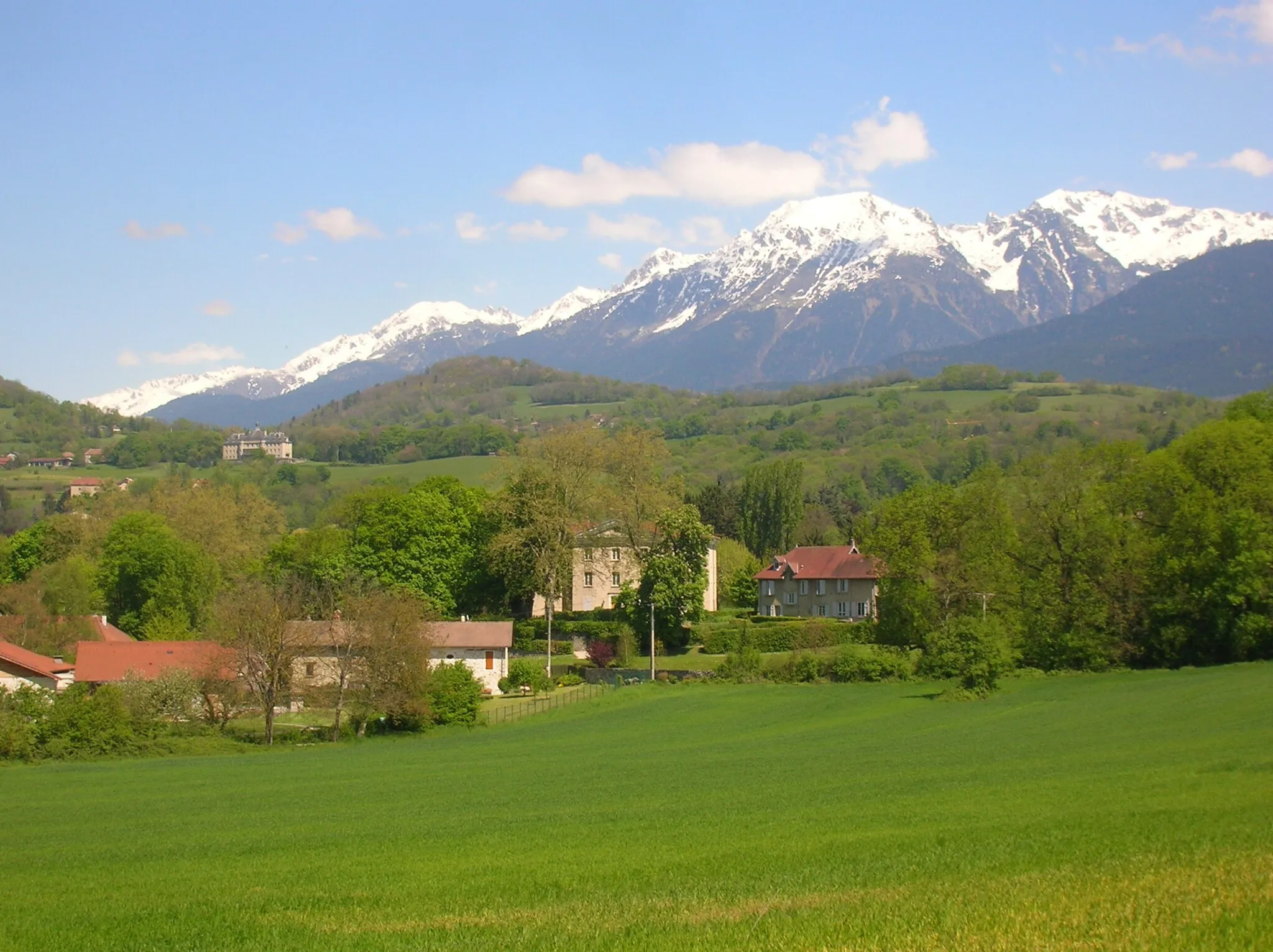
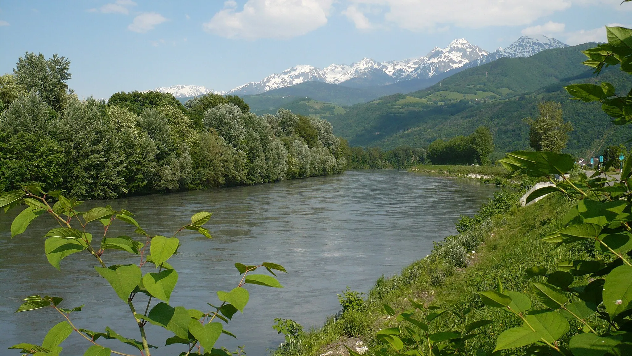
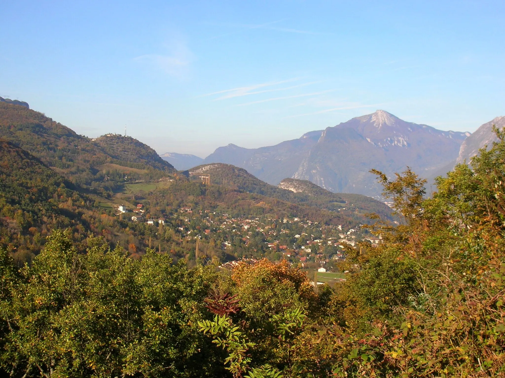
Eybens is a road and gravel cyclist's paradise located in the Rhône-Alpes region of France. With its stunning natural beauty and well-maintained roads, it offers a wide range of cycling options for all levels of riders. One well-known cycling spot nearby is the famous climb up to Mont Ventoux, which is a must-do for any serious road cyclist. Overall, Eybens is a fantastic destination for cycling enthusiasts and offers plenty of cycling-related opportunities for both locals and tourists alike.
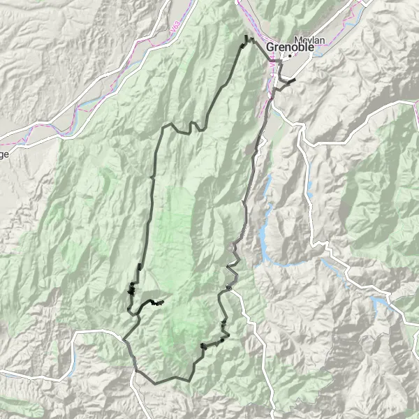
Embark on a thrilling road cycling adventure through the spectacular Vercors Mountains near Eybens
Discover the rugged beauty of the Vercors Mountains on this challenging road cycling route starting near Eybens. With a total ascent of 4,957 meters and a distance of 214 kilometers, this route is perfect for experienced cyclists looking for a thrilling and scenic mountain adventure. Begin your journey in Le Pont-de-Claix and journey through picturesque towns like Monestier-de-Clermont and Die. Be sure to soak in the breathtaking views from the summit of Montagne de Grand Rochefort and Col du Prayet. Experience the dramatic landscape of the Gorges de la Bourne and marvel at the imposing But de Nève. Conquer legendary climbs like Saint-Julien-en-Vercors and Villard-de-Lans before reaching the final destination of Sassenage. This route is an exceptional opportunity to explore the stunning natural and cultural heritage of the Vercors region.
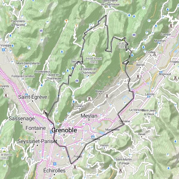
Embark on a challenging road cycling journey from Eybens to Poisat
Starting in Eybens and ending in Poisat, this road cycling route covers a distance of 73 kilometers with an ascent of 2202 meters. It is a demanding route that requires a high level of fitness and experience. Highlights along the way include Mont Jalla, Sarcenas, Col de Porte, Saint-Hugues-de-Chartreuse, Bec Charvet, Château Nardent, Domène, and Mondieu. With stunning mountain views and challenging climbs, this route offers a thrilling adventure for experienced cyclists.
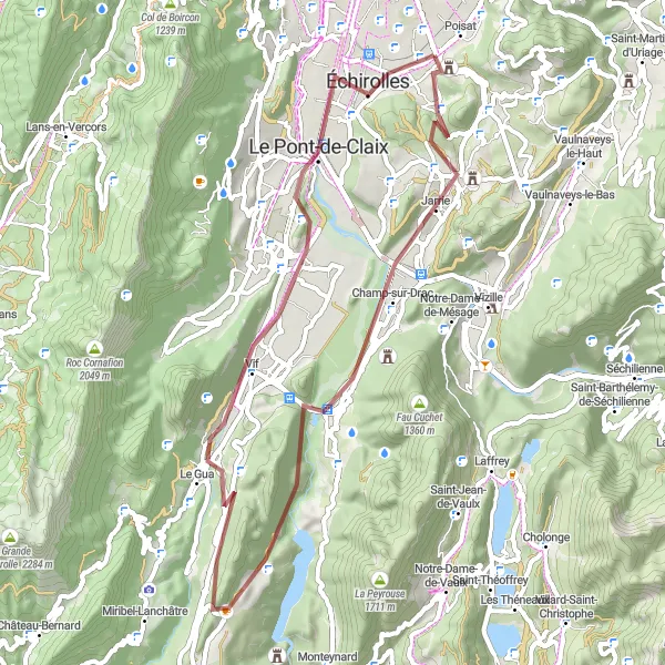
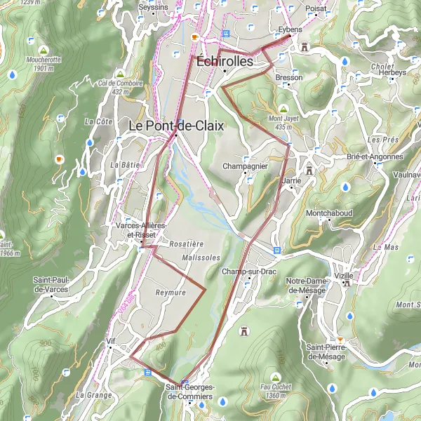
Embark on an adventurous gravel journey from Eybens to Varces-Allières-et-Risset
This gravel route starts in Eybens and takes you to Varces-Allières-et-Risset, covering a total distance of 53 kilometers with an ascent of 1046 meters. Along the way, you'll pass through Mont Jayet, Champ-sur-Drac, Le Grand Brion, Saint-Martin-de-la-Cluze, Varces-Allières-et-Risset, and finally return to Eybens. Enjoy the scenic landscapes, charming villages, and vibrant natural surroundings on this moderate-level gravel adventure. Get ready to experience the thrill of off-road cycling in the picturesque Alps.
Amazing Alpine Adventure
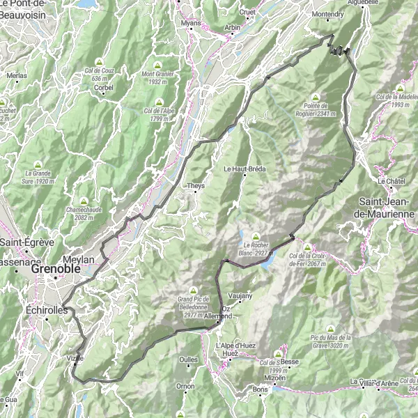
Conquer the majestic Alps on this thrilling road cycling route starting near Eybens
Embark on an epic cycling journey through the breathtaking Alpine landscape near Eybens. With a total ascent of 3,963 meters and a distance of 180 kilometers, this challenging route is perfect for well-trained amateur cyclists seeking a true mountaineering experience. Pedal your way through picturesque towns such as Gières and Molard, and be rewarded with stunning panoramic views at the summit of Mont Pezard. Don't miss the opportunity to test your mettle on legendary climbs like the Col du Glandon and the Allevard. This unforgettable route is sure to leave you exhilarated and in awe of the French Alps.
Eybens to Mondieu Road
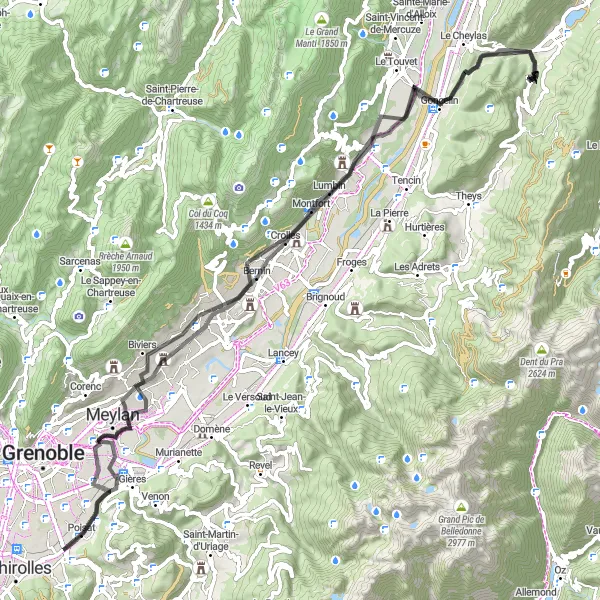
Explore the scenic road from Eybens to Mondieu
This road cycling route starts in Eybens and takes you through beautiful landscapes, including Montbonnot-Saint-Martin, Crolles, Morêtel-de-Mailles, Saint-Ismier, Gières, and Mondieu. With a total distance of 86 kilometers and an ascent of 1028 meters, this route provides a good challenge for well-trained amateur cyclists. The route offers stunning views of the surrounding mountains and picturesque towns along the way. Get ready for an exciting and memorable cycling adventure!
Les Essarts Circular Road Route

A stunning circular route starting from Eybens taking in scenic countryside and challenging climbs
This circular road route starting near Eybens offers a spectacular journey through the Rhône-Alpes region of France. With a total distance of 128 km and an ascent of 3681 m, this route is well-suited for very well-trained amateur cyclists. The route takes you through picturesque villages and beautiful landscapes while also challenging you with several uphill sections. Highlights on this route include Vaulnaveys-le-Haut, a charming village known for its beautiful architecture, Livet, which offers stunning views of the surrounding mountains, and Saint-Barthélemy-de-Séchilienne, where you can enjoy a refreshing stop at a local cafe.
Scenic Countryside Crossroads
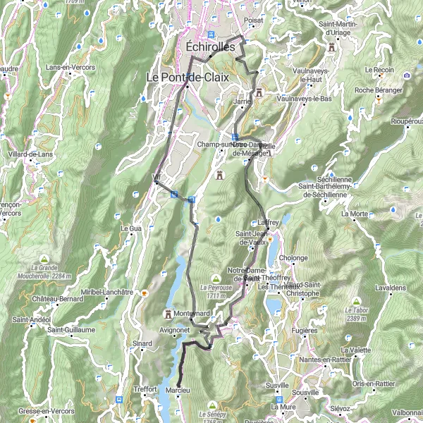
Experience the charm of the French countryside on this delightful road cycling route starting near Eybens
Marvel at the picturesque countryside surrounding Eybens on this scenic road cycling route. With a total ascent of 1,776 meters and a distance of 78 kilometers, this route is perfect for cyclists craving a mix of tranquility and natural beauty. Pedal your way through charming towns like Bresson and Saint-Jean-de-Vaulx, and be captivated by the idyllic landscapes of La Motte-Saint-Martin and Saint-Georges-de-Commiers. Admire the lush green meadows and rolling hills as you make your way to the highlight of the route - the stunning village of Eybens. This delightful crossroads will leave you enchanted with the charm and serenity of the French countryside.
Experience the gravel adventure from Eybens to Belvédère du Sabot
This gravel cycling route extends over a distance of 37 kilometers with an ascent of 355 meters. Starting in Eybens, you'll pass through Jarrie, Le Saut du Moine, Saint-Georges-de-Commiers, Montagne de Grand Rochefort, Échirolles, and finally reach Belvédère du Sabot. This moderate-level route offers a mix of scenic landscapes, charming villages, and serene natural surroundings. Enjoy the off-road adventure and discover the beauty of the Belvédère du Sabot region.
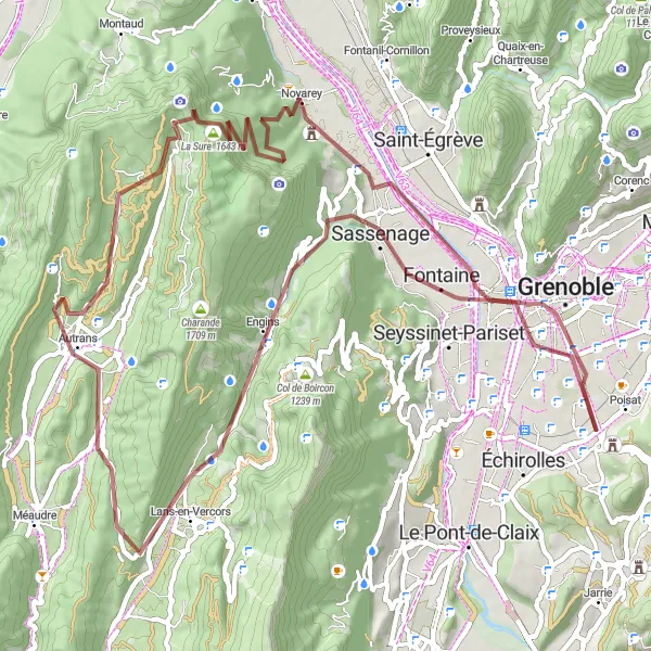
Unleash your adventurous spirit on the gravel route from Eybens to Lans-en-Vercors
The gravel cycling route from Eybens to Lans-en-Vercors is a challenging adventure that covers a distance of 73 kilometers and includes an ascent of 1962 meters. This route takes you through Eybens, Belvédaire, Noyarey, La Buffe, Col de la Croix Perrin, Lans-en-Vercors, and finally Grenoble. Offering breathtaking mountain views and remote landscapes, this epic route is perfect for experienced gravel cyclists seeking a thrilling challenge. Prepare yourself for an unforgettable journey through the rugged beauty of the Vercors region.
La Vercors Loop
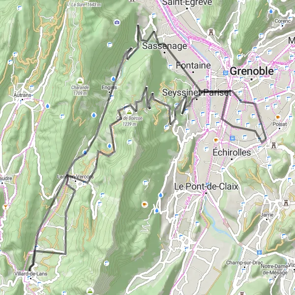
Embark on a challenging road cycling adventure through the stunning landscapes of Vercors.
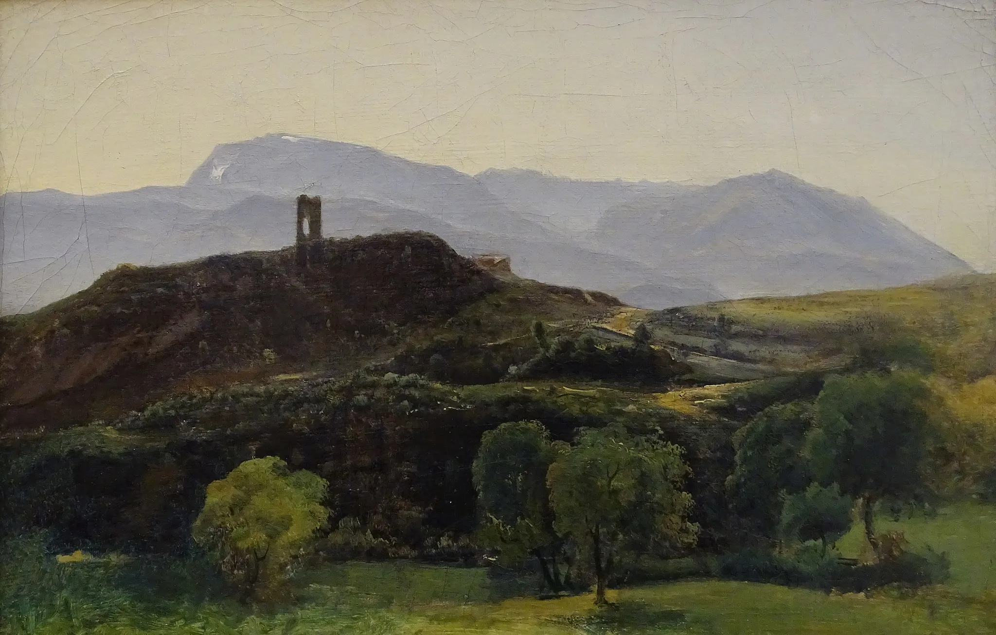
The La Vercors Loop is a challenging road cycling route that takes you through the breathtaking landscapes of the Vercors region. With a total ascent of 1511 meters and a distance of 77 kilometers, this route offers a rewarding experience for well-trained amateur cyclists. The Vercors region is known for its mountainous terrain, stunning views, and picturesque villages, making it a popular destination for cyclists seeking both natural beauty and a challenging ride. Along the way, you will encounter numerous highlights, including the charming town of Eybens, the historic La Tour Sans Venin, and the magnificent viewpoint at Cornafion.
Cycling routes nearby:


Nearby regions: