Cycling haven in Rhône-Alpes
Cycling routes from Saint-Martin-d'Heres
Saint-Martin-d'Hères is a vibrant town located in the Rhône-Alpes region of France. Cyclists will find plenty of cycling-friendly routes in and around the town, with both road and gravel options available. One notable cycling spot near Saint-Martin-d'Hères is the Col de Porte, a challenging climb that offers breathtaking views of the surrounding mountains. The town itself is also home to a lively cycling community, with various cycling events and competitions taking place throughout the year. Saint-Martin-d'Hères is a great choice for cyclists looking to experience the beauty of the Rhône-Alpes region.

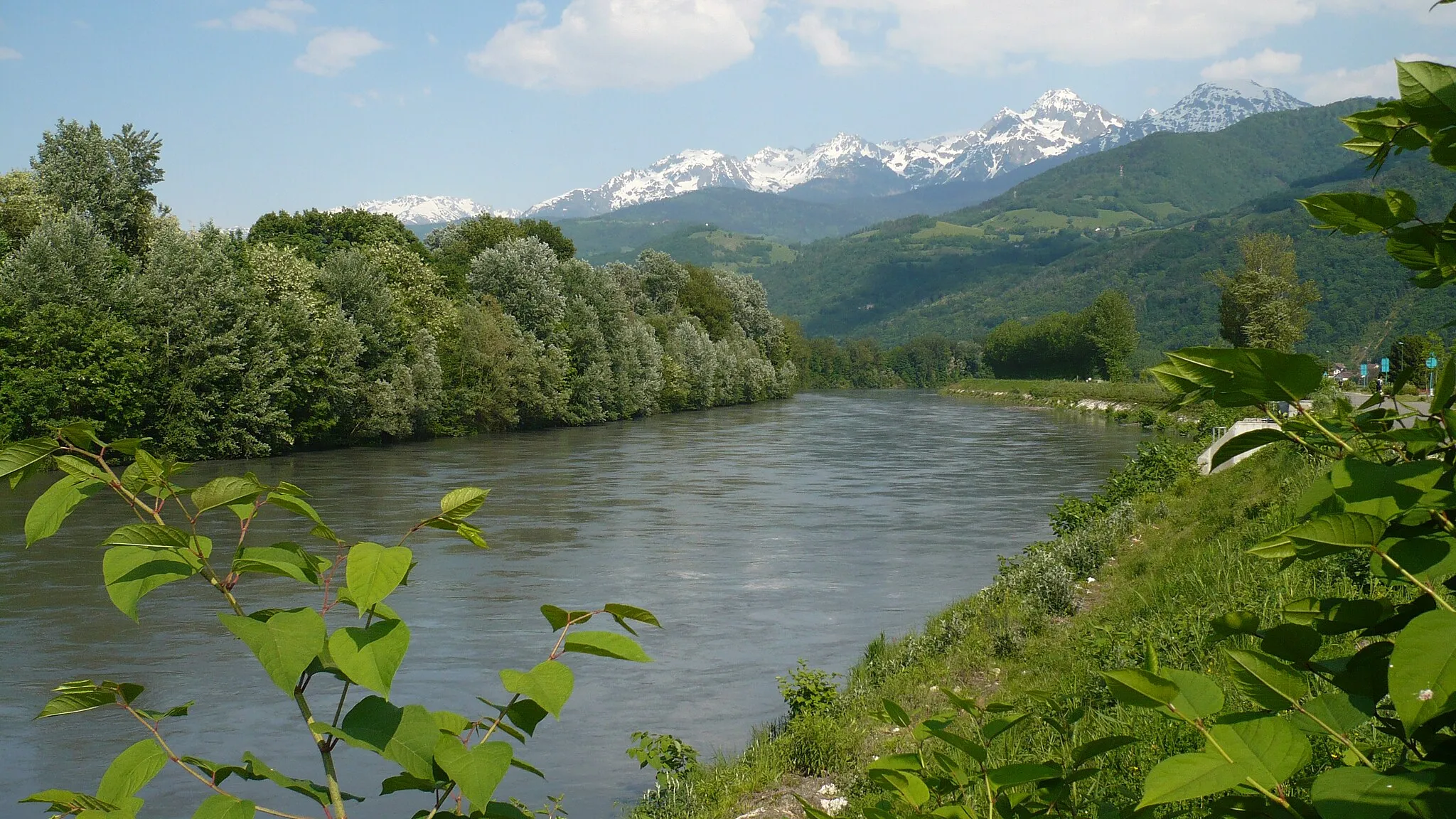
Climb to Mont Jalla and discover the beauty of the Vercors Mountains
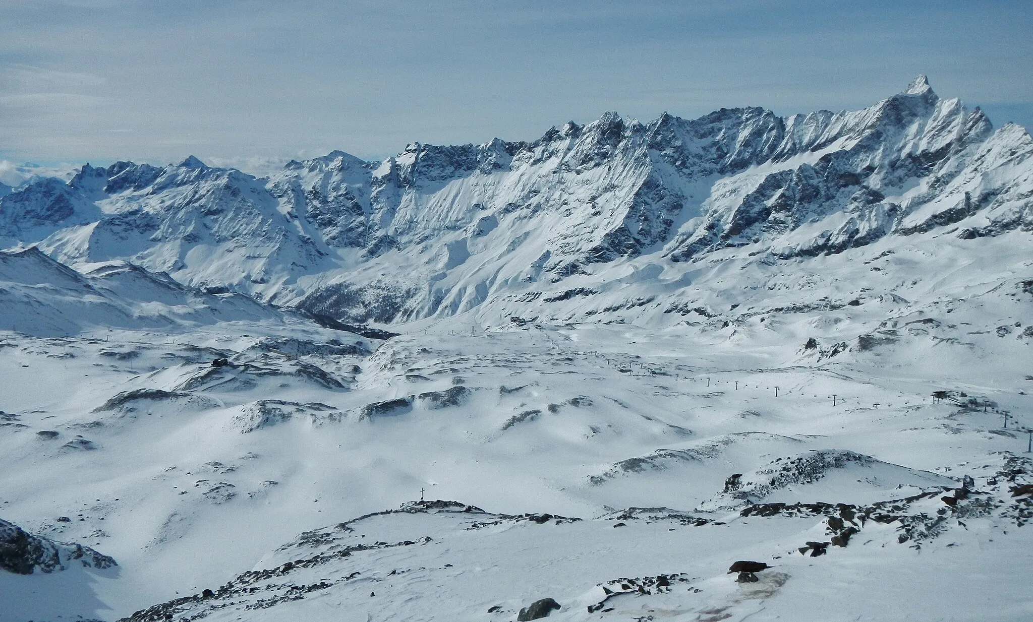
Embark on a challenging 134-km road cycling route with an ascent of 3218 meters, exploring the scenic Vercors Mountains. Mont Jalla offers stunning panoramic views and is the highlight of this epic route. This route is suitable for experienced cyclists due to its difficulty level. With a score of 4, Mont Jalla is a must-stop highlight, providing a unique vantage point to admire the Vercors range. Immerse yourself in the natural beauty and tranquility of the mountainous landscape.
Conquer the challenging climb to Col Luitel
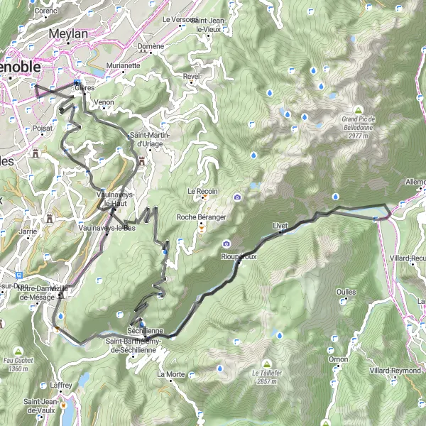
This 101-kilometer road cycling route starts in Saint-Martin-d'Hères and takes you through winding roads and challenging ascents, with a total ascent of 2,356 meters. It is recommended for experienced cyclists looking for a demanding ride.
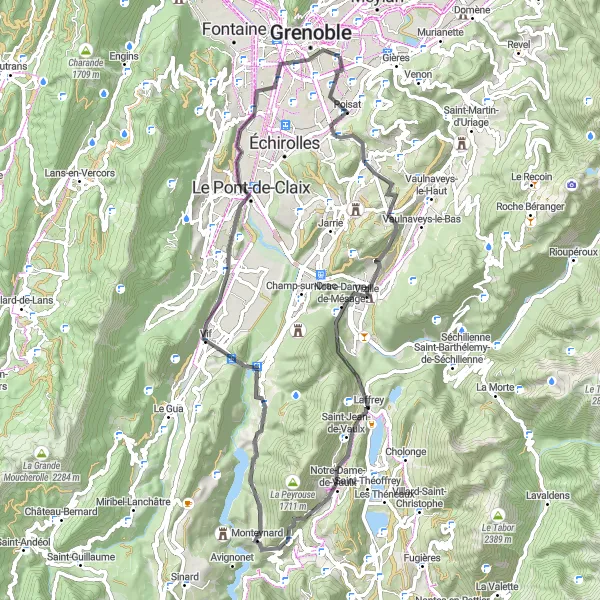
Embark on an exhilarating road cycling route with an ascent of 1978m and a distance of 96km.
Get ready for an exciting cycling adventure on this road route starting near Saint-Martin-d'Hères. The route takes you through various scenic landscapes, offering a mix of challenging climbs and thrilling descents. With a difficulty rating of 3 and an epicness score of 4, this route packs a lot of adventure in a shorter distance.
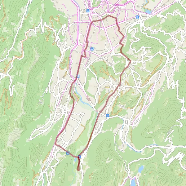
Embark on an adventurous gravel cycling route with a challenging ascent of 198m and a distance of 41km.
Get off the beaten path and explore the countryside on this gravel cycling route starting near Saint-Martin-d'Hères. The route takes you through scenic trails and gravel paths, offering a unique experience for gravel enthusiasts. With a difficulty rating of 1 and an epicness score of 2, this route is perfect for cyclists looking to escape the hustle and bustle of the city.
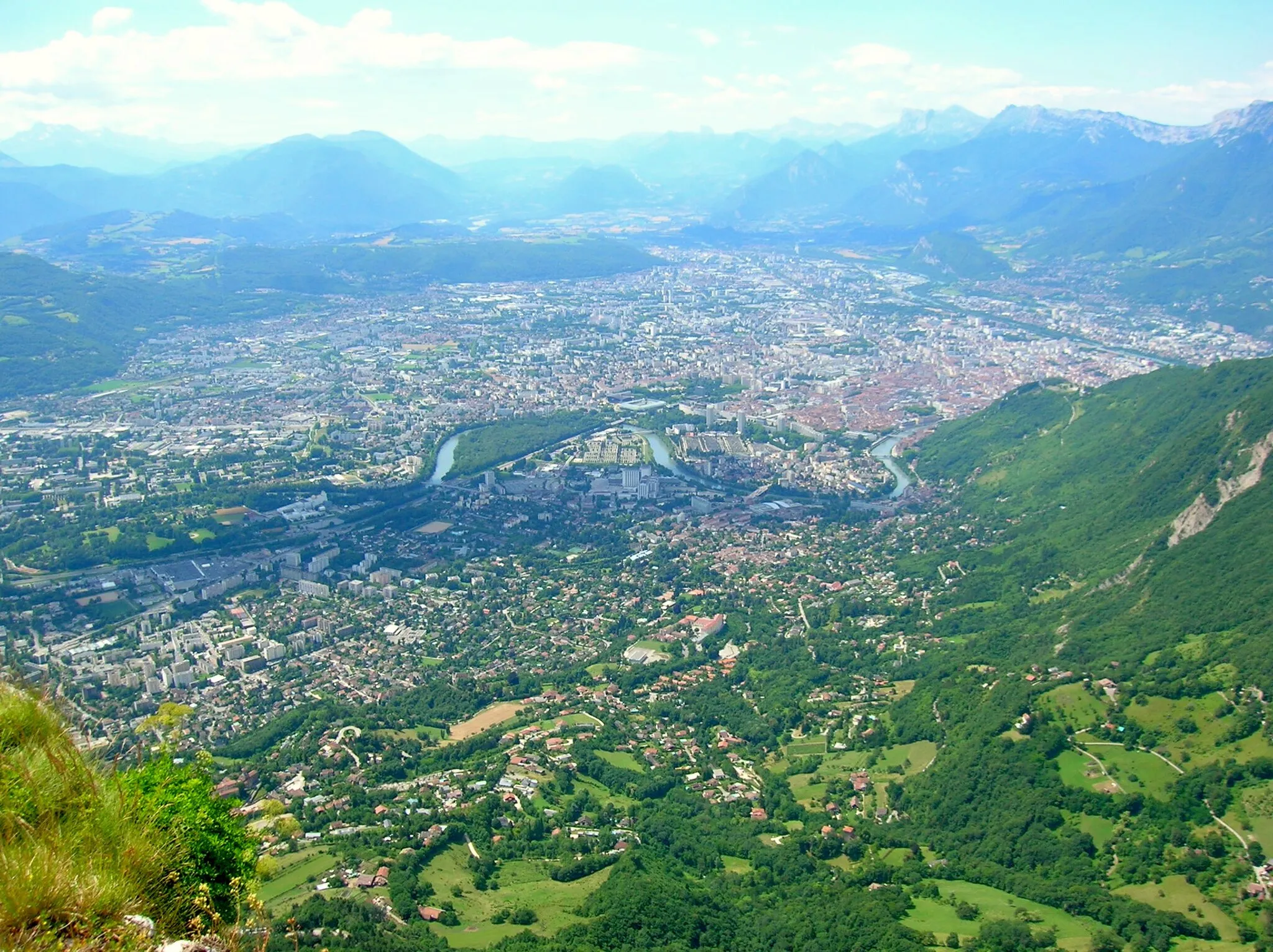
Experience the thrilling gravel adventure near Grenoble
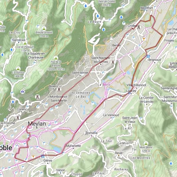
Embark on an exciting gravel adventure near Saint-Martin-d'Hères and explore the stunning landscapes of Rhône-Alpes. This 46-kilometer route offers diverse terrains and breathtaking views, making it a perfect choice for gravel enthusiasts. With a moderate ascent of 465 meters, this round-trip cycling route provides a challenging yet rewarding experience. Take a break from the city and immerse yourself in nature as you pedal through picturesque villages and mountainous regions. The highlights along the route add an extra element of interest and offer unique experiences for cyclists.
Circuit de Belvédère du Sabot
Discover the stunning views at Belvédère du Sabot
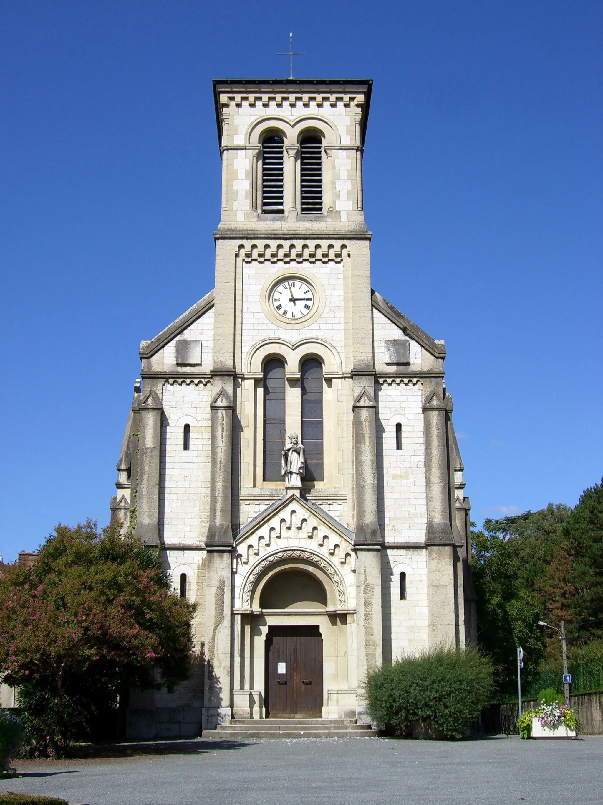
This road cycling route takes you on a 67-km journey with an ascent of 1195 meters. The highlight of the route is the Belvédère du Sabot, where you can enjoy breathtaking panoramic views. The difficulty of this route is moderate, suitable for well-trained amateurs. With a score of 5, the Belvédère du Sabot is a must-visit highlight along the route, offering a unique and picturesque stopover.
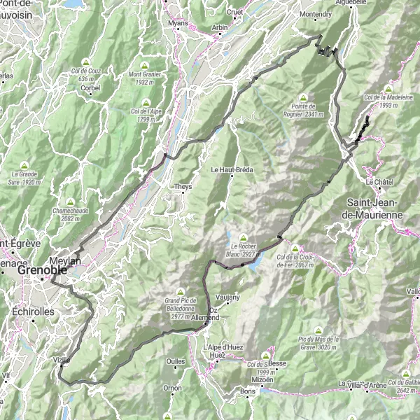
Mountain Challenge
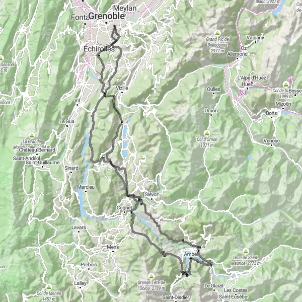
Conquer the mountains on this challenging road cycling route with a total ascent of 3103m and a distance of 156km.
Prepare for a thrilling mountain adventure on this road cycling route starting near Saint-Martin-d'Hères. The route takes you through majestic mountain passes and scenic landscapes, offering breathtaking views at every turn. With a difficulty rating of 4 and an epicness score of 5, this route is not for the faint-hearted but promises unparalleled rewards.
Gravel Adventure in Chartreuse
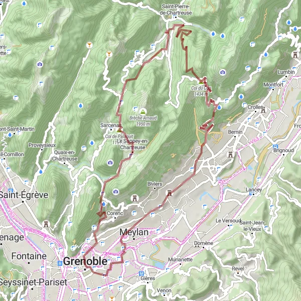
Embark on a gravel adventure through the scenic Chartreuse Regional Natural Park
This 60-kilometer gravel cycling route takes you through the picturesque landscapes of the Chartreuse Regional Natural Park, with a total ascent of 2,075 meters. It offers a unique cycling experience for those seeking off-road adventures.
Circuit de Eybens à Poisat
Explore the beautiful countryside from Eybens to Poisat
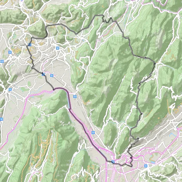
This 100-kilometer road cycling route takes you through picturesque towns and scenic landscapes, with a total ascent of 1,698 meters. It offers a challenging but rewarding experience for amateur cyclists.
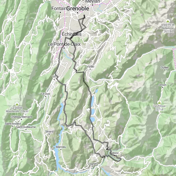
Road to Epicness
Challenge yourself on this road cycling route with a total ascent of 4972m and a distance of 204km.
Set off on an adventure through breathtaking landscapes on this road cycling route starting near Saint-Martin-d'Hères. The route takes you through picturesque towns and villages, offering stunning views throughout. With a difficulty rating of 4, it is perfect for well-trained amateur cyclists looking for a challenge. The epicness of this route is rated at 4, offering plenty of rewarding moments along the way.
Cycling routes nearby:


Nearby regions: