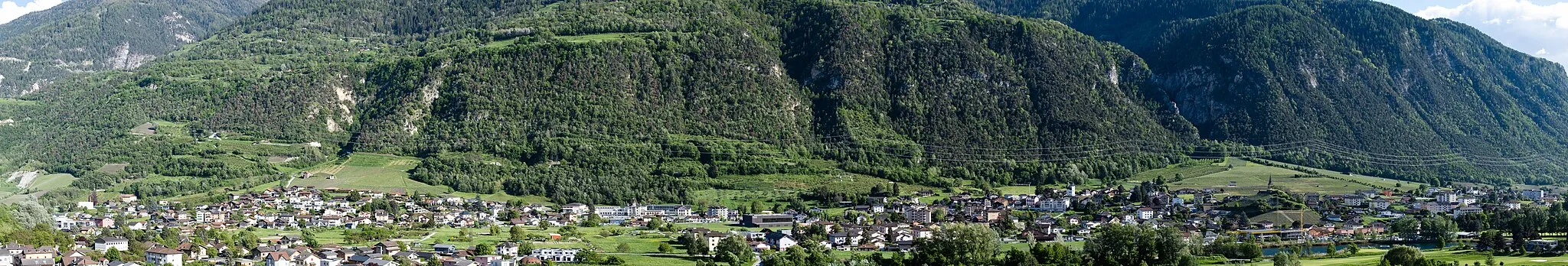
Gateway to legendary climbs and cycling routes
Cycling routes from Gieres
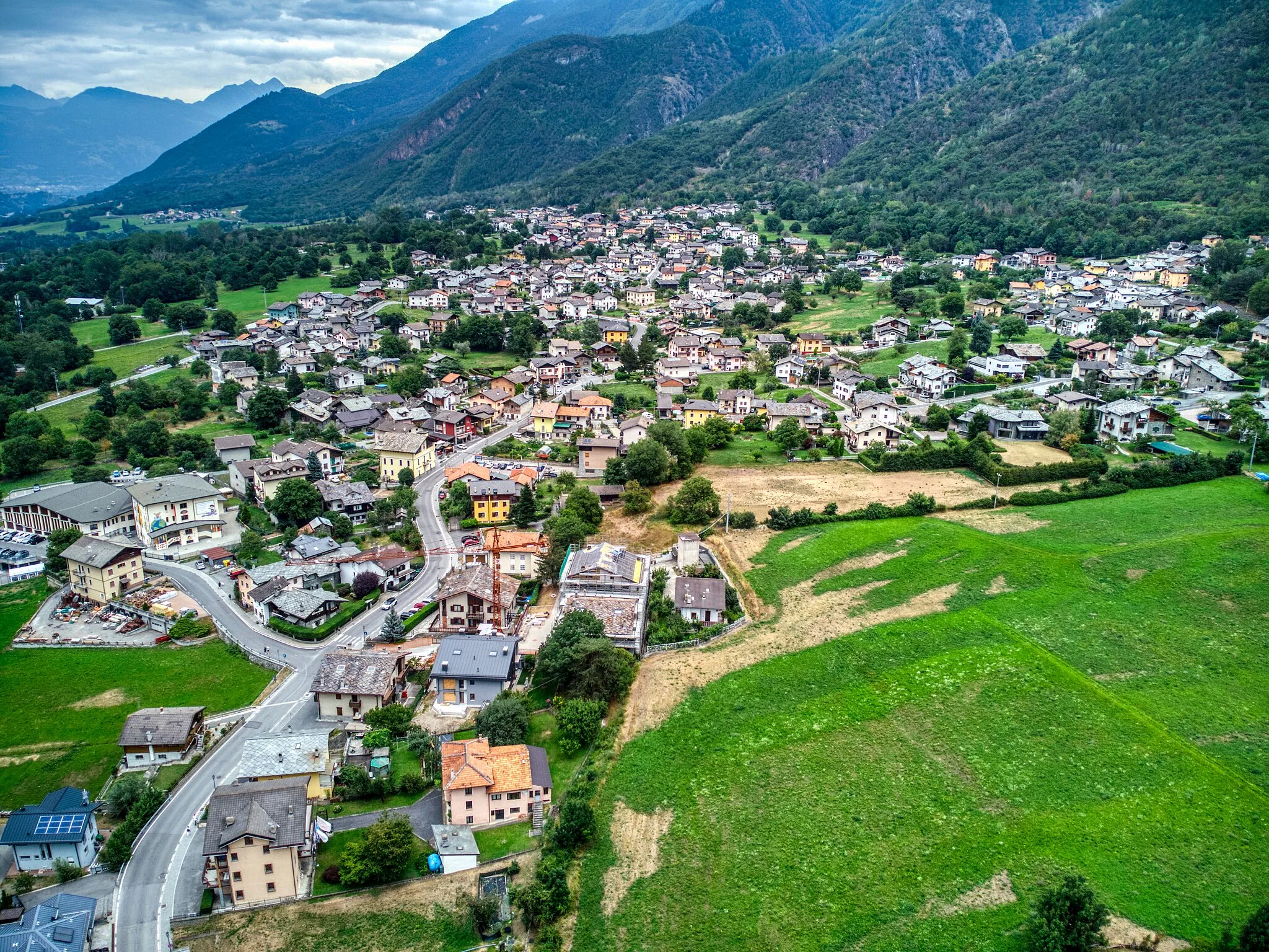
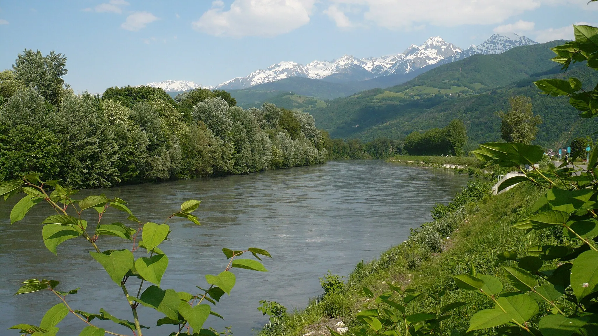
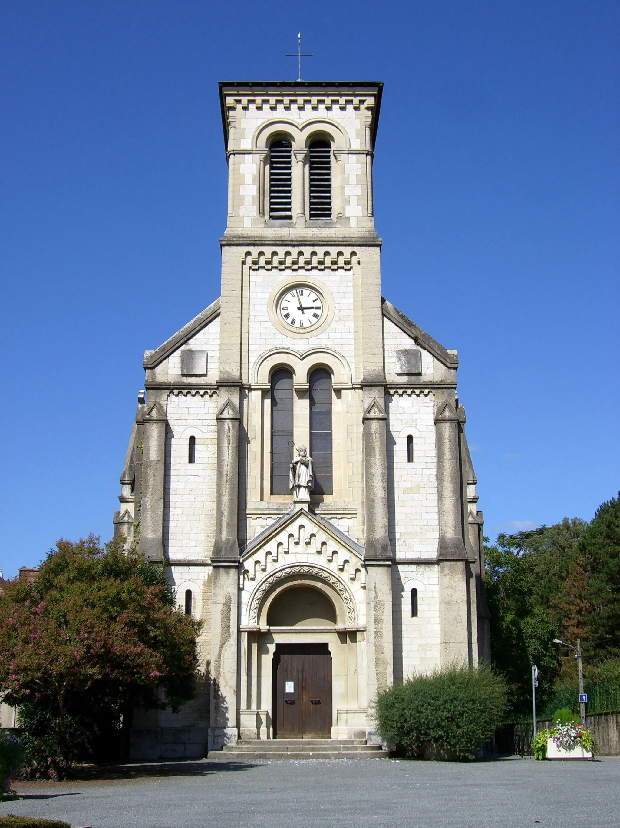
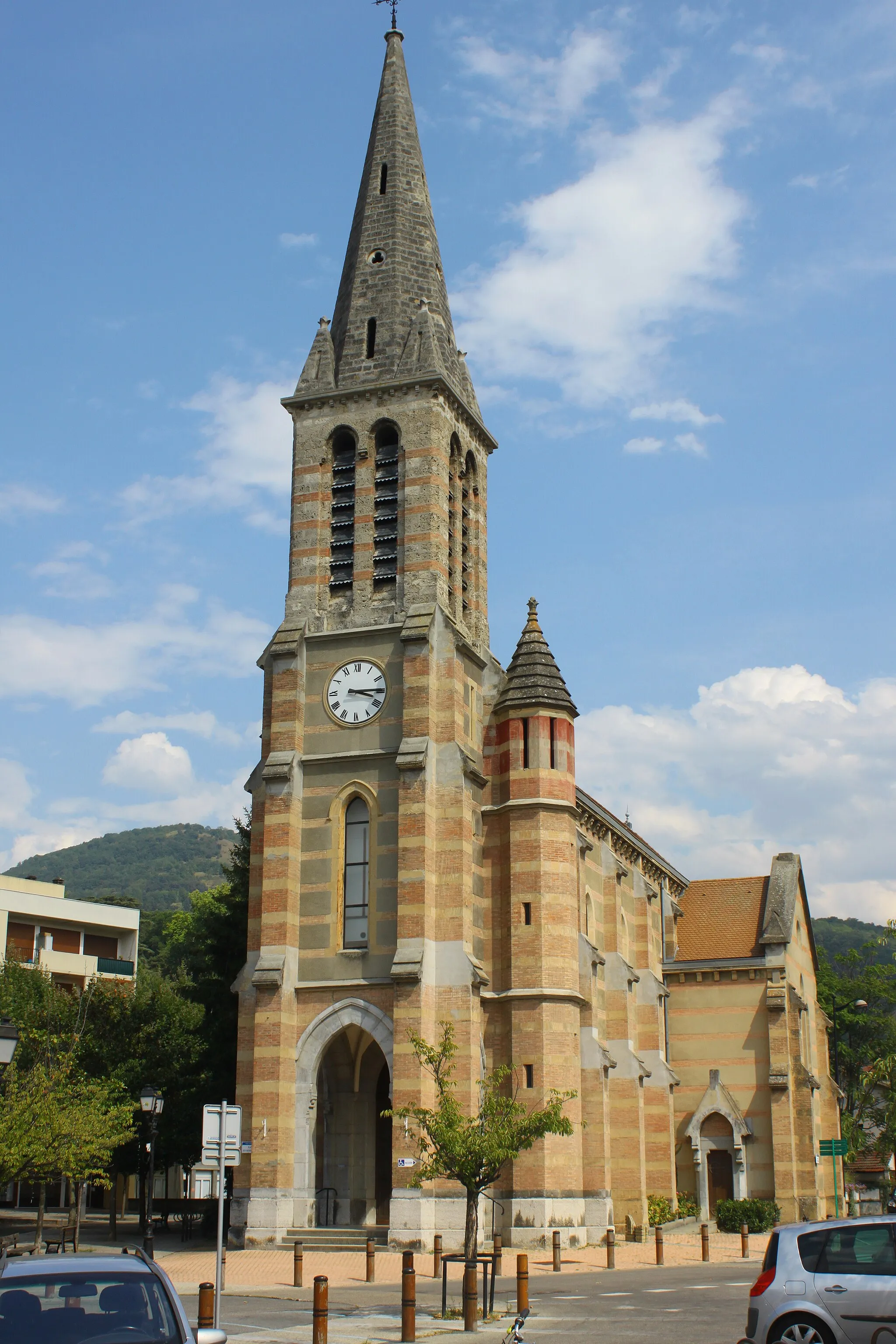
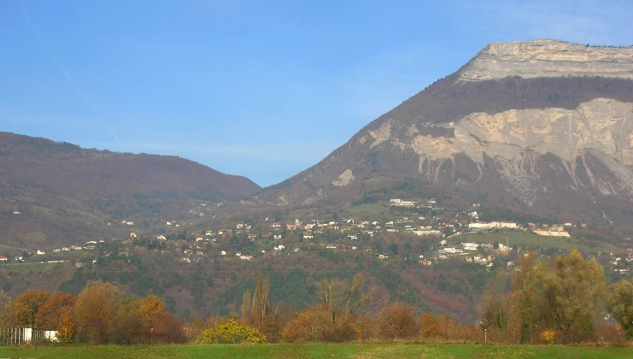
Gières is a beautiful locality situated in the Rhône-Alpes region of France. From a cyclist's perspective, Gières offers varied terrain, ranging from flat stretches to challenging climbs. Nearby, you can find famous cycling spots, including the iconic climbs of Col du Glandon and Alpe d'Huez. The locality serves as an excellent base for exploring the renowned cycling routes of the area, making it a hotspot for cycling tourism.
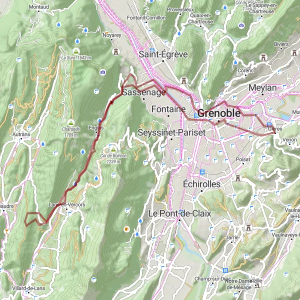
Immerse yourself in the natural beauty of Sassenage
Discover the natural beauty of Sassenage on this gravel route, covering a distance of 66 km and ascending 1452 meters. With highlights including Belvédère Vauban, Lans-en-Vercors, and Château de Sassenage, this route offers a diverse range of landscapes, from rocky outcrops to serene valleys. Experience the charm of Saint-Martin-d'Hères and its historic architecture.
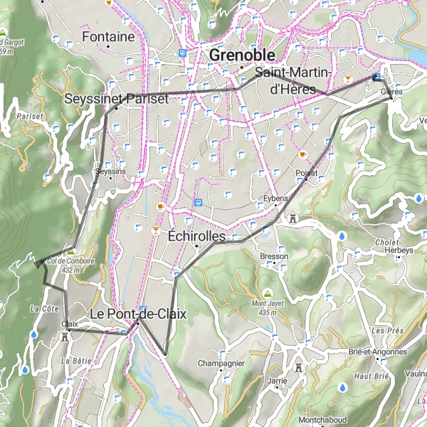
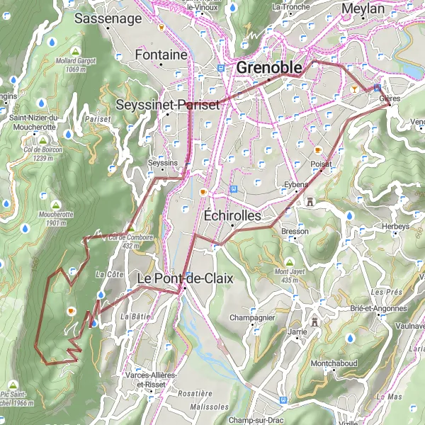
Enjoy the scenic beauty of the Grenoble region
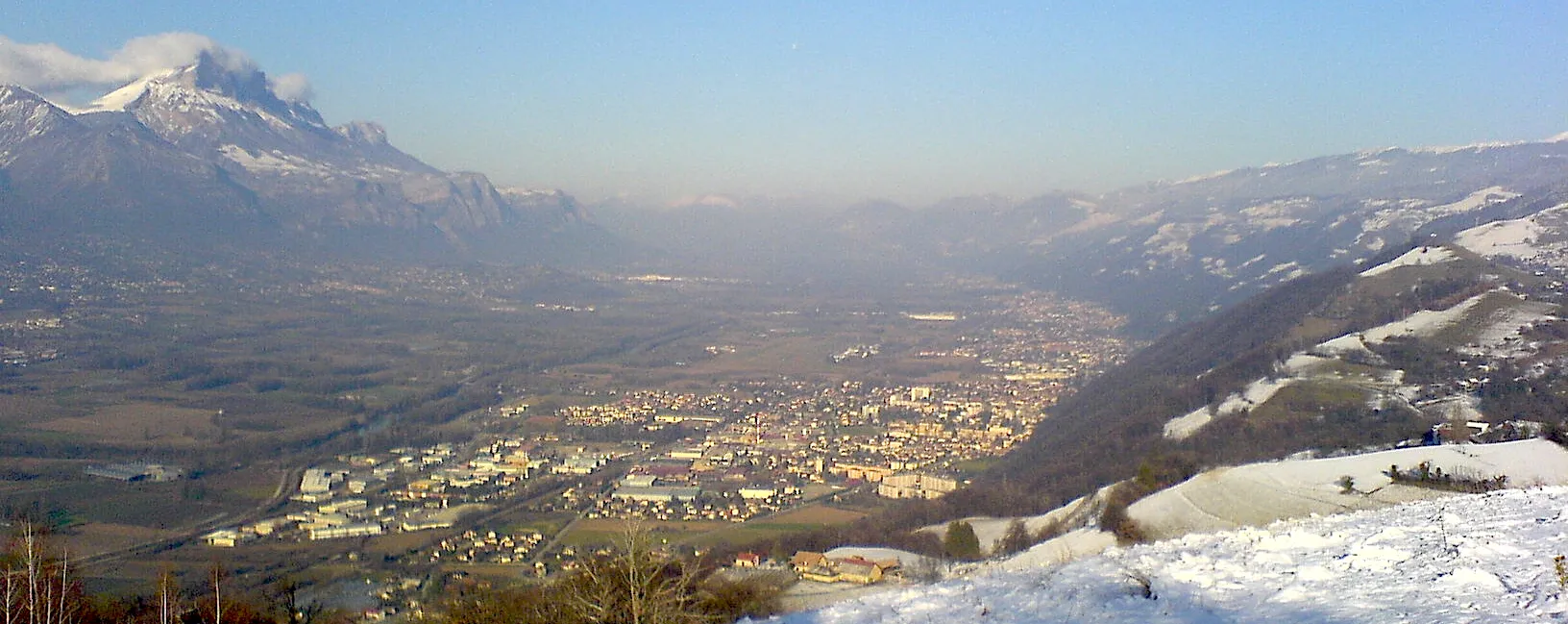
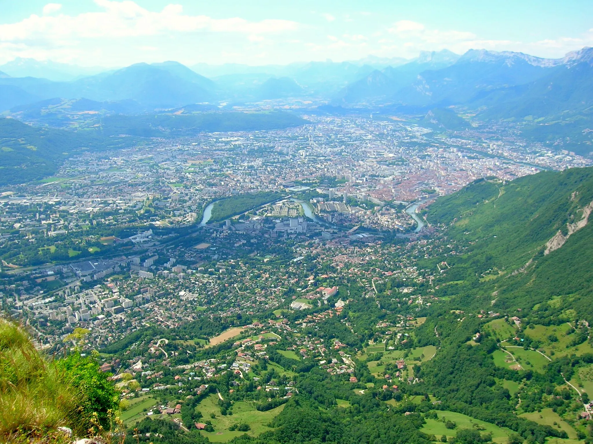
Take in the breathtaking views of the Grenoble region on this scenic road cycling route. Covering a distance of 33 km and ascending 491 meters, the route is suitable for cyclists of all levels. Highlights include Eybens, Montagne de Grand Rochefort, and Col de Comboire, offering diverse landscapes and natural beauty. Explore the vibrant city of Grenoble and immerse yourself in its rich cultural heritage.
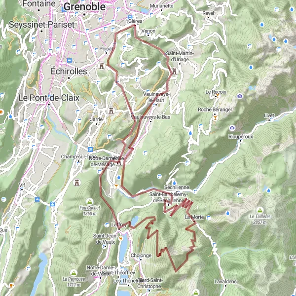
Tackle the demanding gravel route near Gières
Take on the ultimate gravel challenge with this 83-kilometer route near Gières. With a staggering 2835 meters of ascent, this route is designed for experienced riders looking for a physically and mentally demanding adventure. Discover the renowned Molard, Vaulnaveys-le-Bas, Séchilienne, Relais, Le Grand Serre, Vizille, Le Plomb, and Coli highlights along the way. Be prepared to push yourself to the limit as you conquer tough terrains and enjoy breathtaking views throughout the journey.
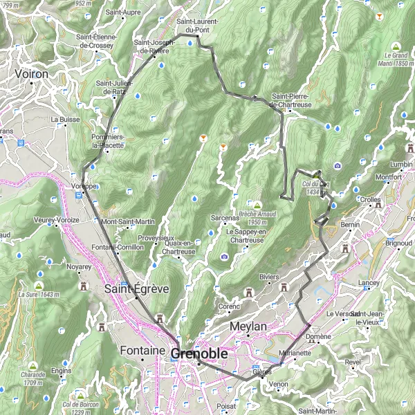
An epic road cycling adventure with challenging climbs
Embark on an epic road cycling adventure from Gières to Murianette, covering a distance of 82 km and a total ascent of 2137 meters. This route is ideal for experienced cyclists seeking a challenge and offers breathtaking views of the Grenoble region. With highlights including Grenoble, Rocher du Cornillon, and Col de la Placette, this route promises an unforgettable cycling experience.
Discover the beauty of the gravel roads near Gières
Embark on an unforgettable gravel adventure that spans across 48 kilometers of scenic routes near Gières. With 1190 meters of ascent, this route provides a moderate challenge suitable for both amateur and experienced cyclists. Explore the mesmerizing Molard, Échirolles, Claix, Grand Cheval, Col de Comboire, and Grenoble highlights as you ride through captivating landscapes. Immerse yourself in the natural beauty of the region and discover hidden gems along the way.
Gières Road Challenge
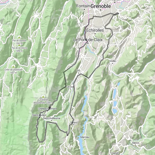
Conquer the challenging road route near Gières
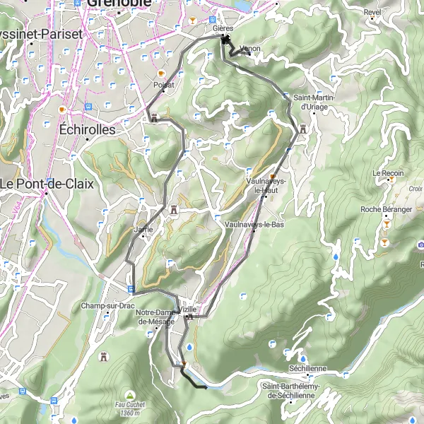
Get ready for an exhilarating challenge with this 49-kilometer road cycling route near Gières. With 843 meters of ascent, this route is perfect for experienced riders seeking a tough workout. Enjoy the scenic beauty of the Col de la Coche, Vaulnaveys-le-Bas, Moutet, Jarrie, Eybens, and Molard highlights along the way. This route provides a thrilling mix of climbs and descents, offering breathtaking views at every turn.
Explore the natural beauty of Champ-sur-Drac
Experience the natural beauty of Champ-sur-Drac on this road cycling route that covers a distance of 47 km and ascends 433 meters. Highlights include Molard, Eybens, and Seyssins, incorporating picturesque villages and stunning landscapes. Immerse yourself in the cultural richness of Saint-Martin-d'Hères.
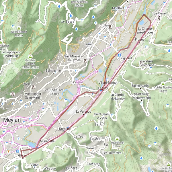
A scenic gravel route with panoramic beauty
This gravel route takes you from Gières to Villard-Bonnot, offering stunning panoramic views of the Grésivaudan region. The route covers a distance of 38 km and includes a total ascent of 169 meters. It is suitable for gravel bikes and provides a unique and distinctive cycling experience.
Gières Gravel Adventure
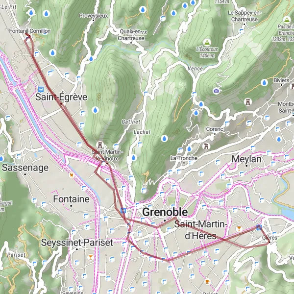
Discover the hidden gems of the Gravel roads near Gières
Embark on a thrilling adventure through the gravel roads near Gières in the Rhône-Alpes region of France. This 34-kilometer route with 138 meters of ascent takes you through picturesque villages and stunning landscapes. The route offers a moderate level of difficulty, making it ideal for both experienced and amateur riders. Get ready to explore the Molard, Saint-Martin-d'Hères, Saint-Égrève, Rocher du Cornillon, Polygone Scientifique, and Belvédaire highlights along the way.
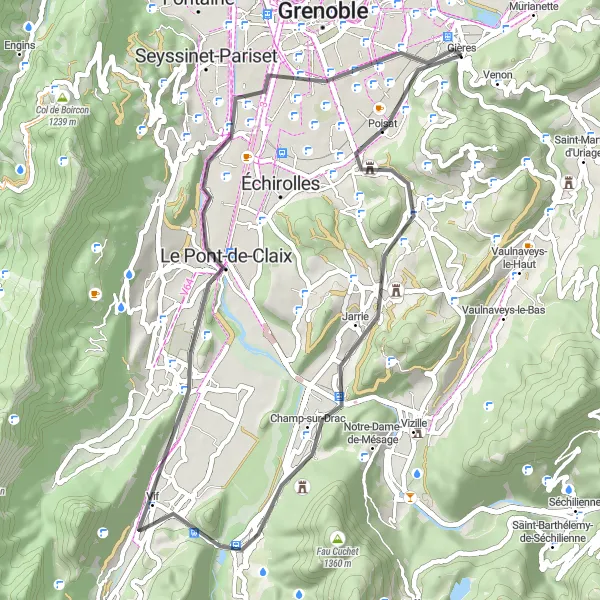
Embark on an epic road adventure in the Rhône-Alpes region
Prepare for an epic 104-kilometer road cycling tour in the stunning Rhône-Alpes region of France. With 2002 meters of ascent, this route offers a formidable challenge for cyclists looking for a highly rewarding experience. Explore the famous Molard, Eybens, Moutet, Champ-sur-Drac, Pinjallas, Monestier-de-Clermont, Gresse-en-Vercors, Col des Deux, Château-Bernard, Col de l'Arzelier, Montagne de Grand Rochefort, Le Pont-de-Claix, Belvédaire, and Saint-Martin-d'Hères highlights along the way.
Cycling routes nearby:


Nearby regions: