Gières Gravel Adventure
A gravel cycling route starting from Gieres
Discover the hidden gems of the Gravel roads near Gières
Map
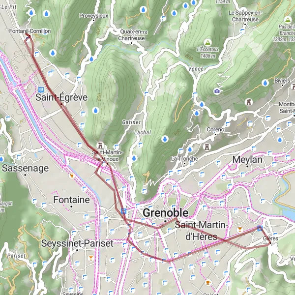
Embark on a thrilling adventure through the gravel roads near Gières in the Rhône-Alpes region of France. This 34-kilometer route with 138 meters of ascent takes you through picturesque villages and stunning landscapes. The route offers a moderate level of difficulty, making it ideal for both experienced and amateur riders. Get ready to explore the Molard, Saint-Martin-d'Hères, Saint-Égrève, Rocher du Cornillon, Polygone Scientifique, and Belvédaire highlights along the way.
gravel
34 km
138 m
Tough
Route profile
Highlights on the route
0 km
0 km
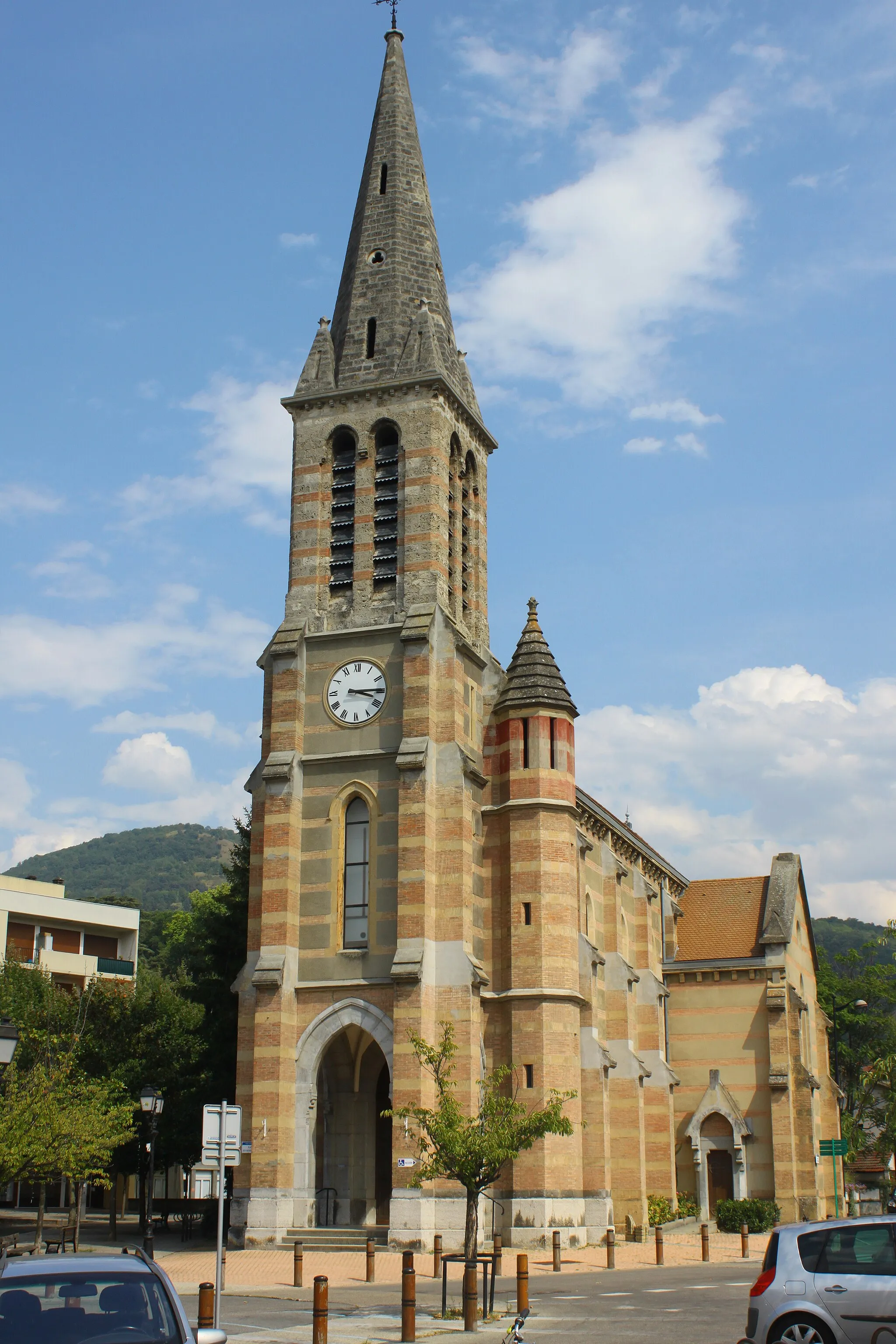
Start: Gières Village centerGières: Gateway to legendary climbs and cycling routes
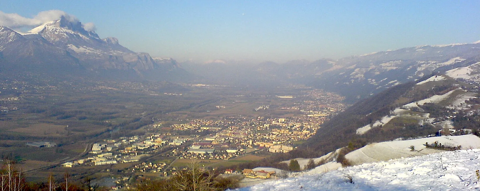
Gières is a beautiful locality situated in the Rhône-Alpes region of France. From a cyclist's perspective, Gières offers varied terrain, ranging from flat stretches to challenging climbs. Nearby, you can find famous cycling spots, including the iconic climbs of Col du Glandon and Alpe d'Huez. The locality serves as an excellent base for exploring the renowned cycling routes of the area, making it a hotspot for cycling tourism.0 km
0 km
Molard427 mPeakThe Molard highlight offers a scenic view of the surrounding countryside.
3 km
3 km
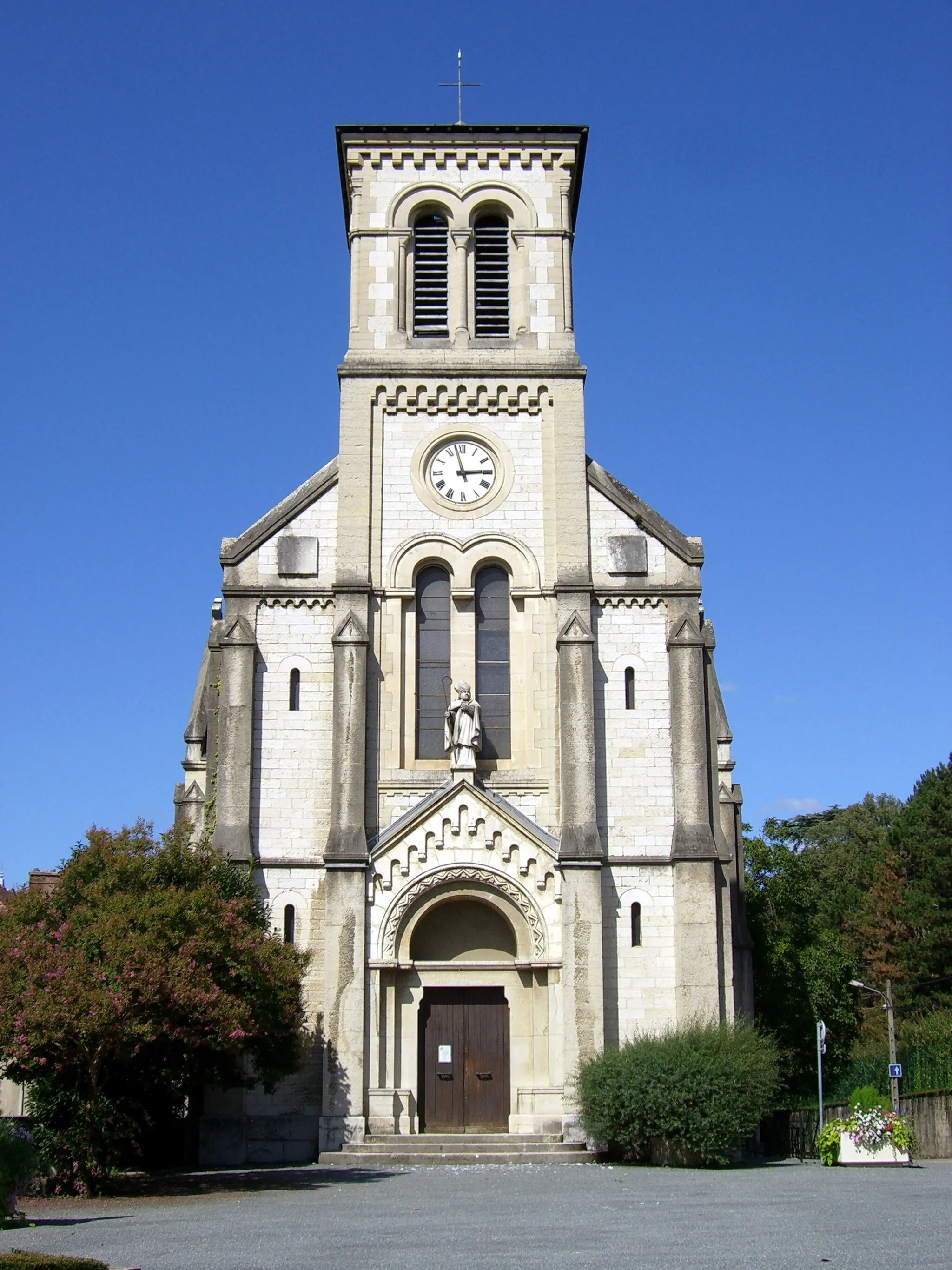
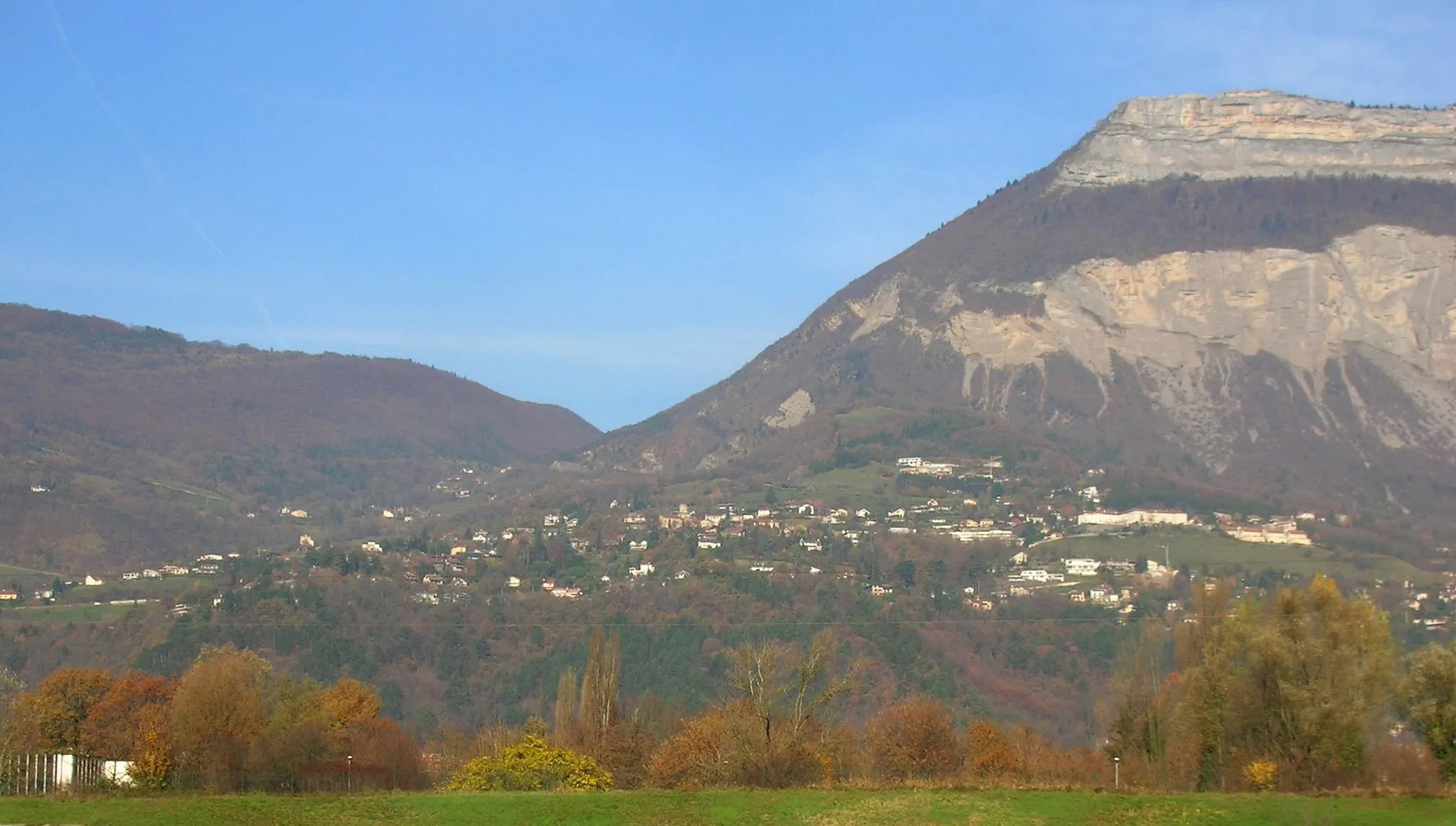
Saint-Martin-d'HèresTownVisit Saint-Martin-d'Hères, a charming village known for its architectural beauty.
12 km
12 km
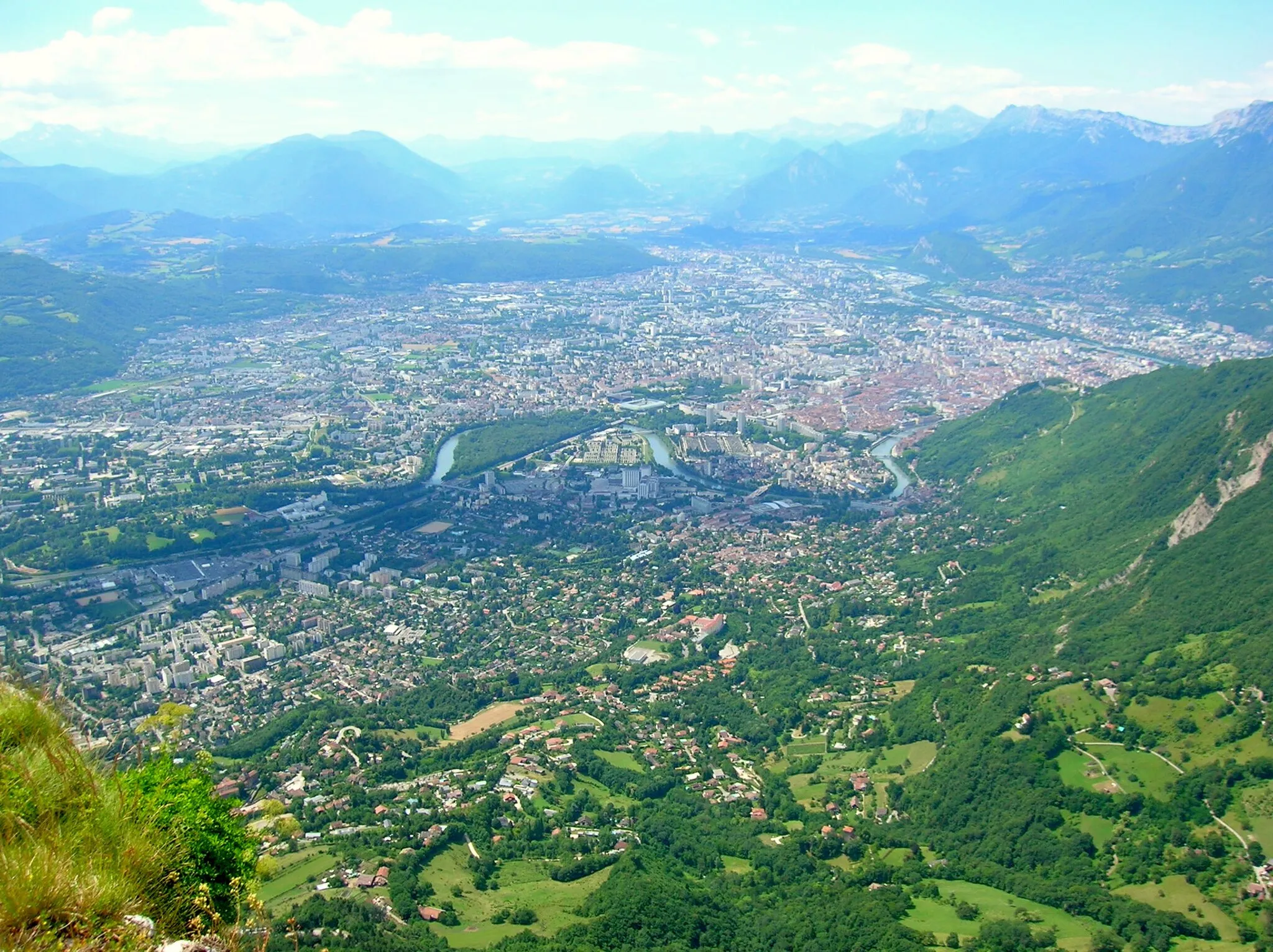
Saint-ÉgrèveTownSaint-Égrève is a popular spot where you can enjoy a peaceful break surrounded by nature.
15 km
15 km
Rocher du Cornillon315 mPeakDiscover the breathtaking Rocher du Cornillon, a rocky outcrop offering panoramic views.
23 km
23 km
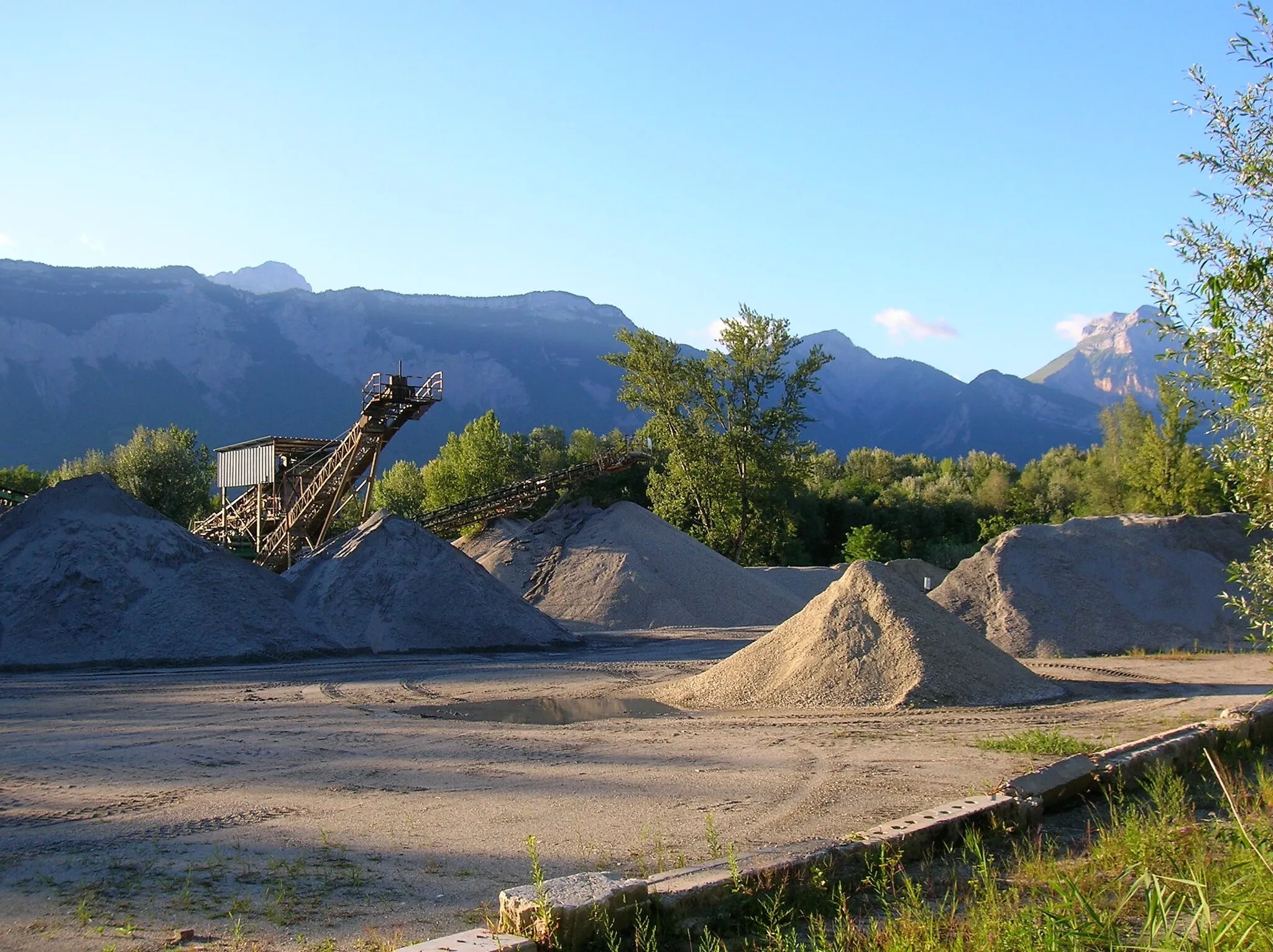
Polygone ScientifiqueSub-urbPass by the Polygone Scientifique, a scientific center known for its innovative research.
28 km
28 km
BelvédaireViewpointReach the Belvédaire and enjoy a stunning view of the entire region.
34 km
34 km
Finish: Gières Village centerGières: Gateway to legendary climbs and cycling routes
Cycling routes from Gieres:
Gravel Route through Gières to Villard-Bonnot Ultimate Gravel Challenge Rhône-Alpes Road Adventure Exploring Gravel Roads near Gières Gières Road Challenge Road Cycling Adventure from Gières to Murianette Gières Gravel Adventure Scenic Road Cycling Route from Gières to Grenoble Discover the Beauty of Champ-sur-Drac on a Road Cycling Route Explore the Natural Beauty of Sassenage on a Gravel Route
Cycling routes nearby: