Cycling paradise in the Rhône-Alpes region of France
Cycling routes from La Tronche
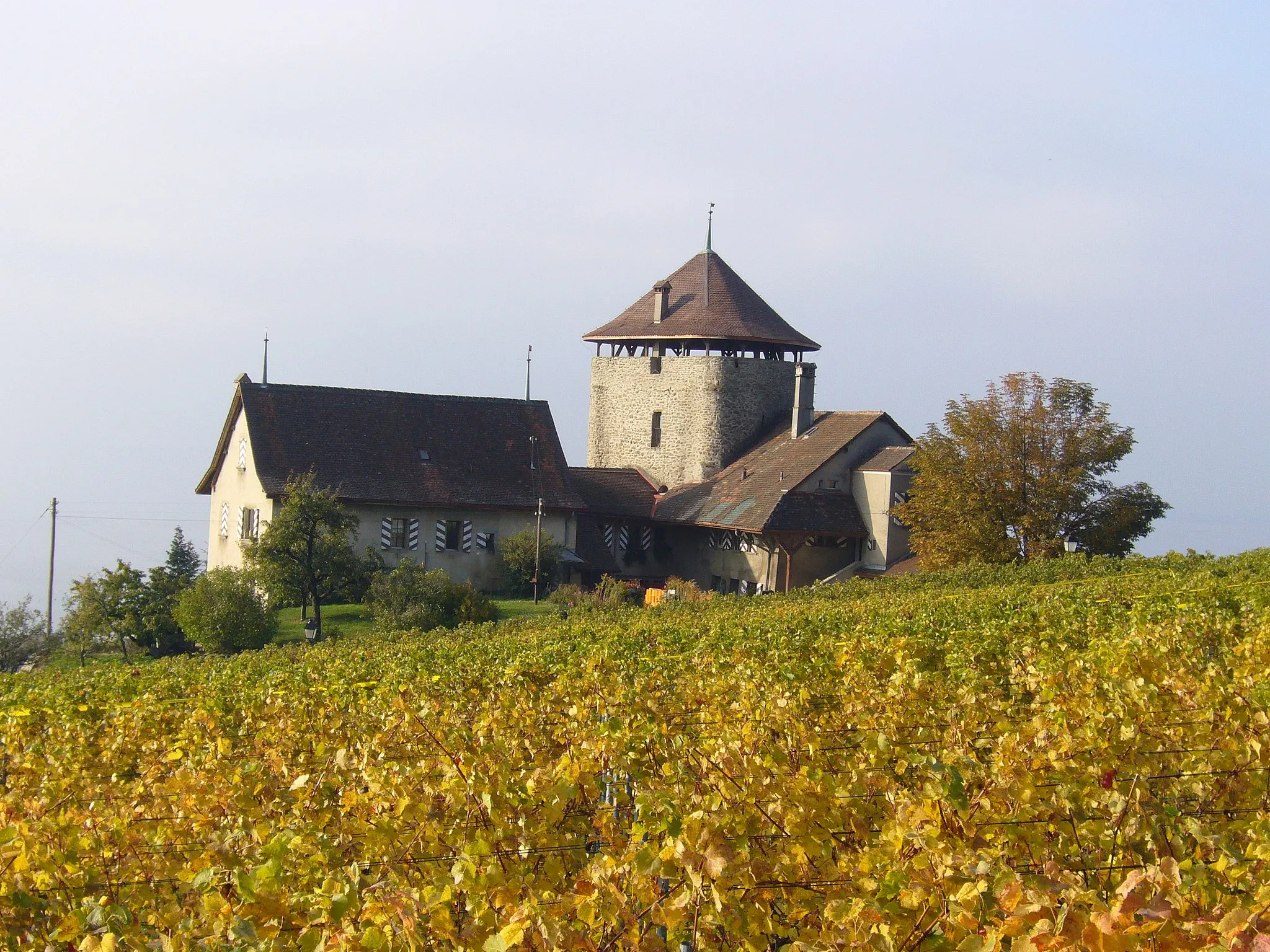
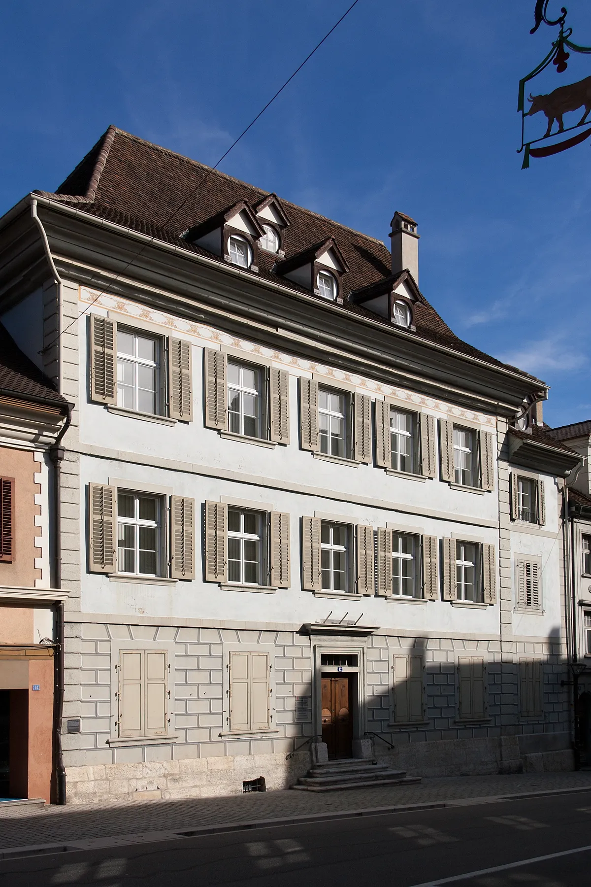
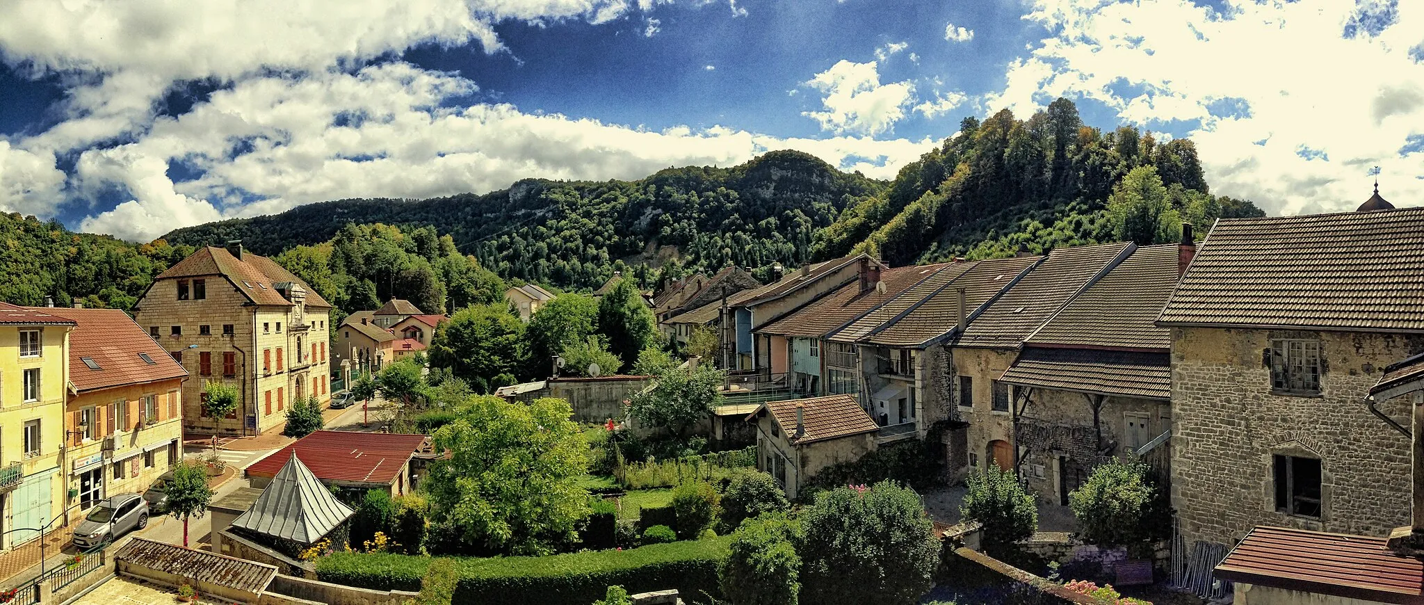
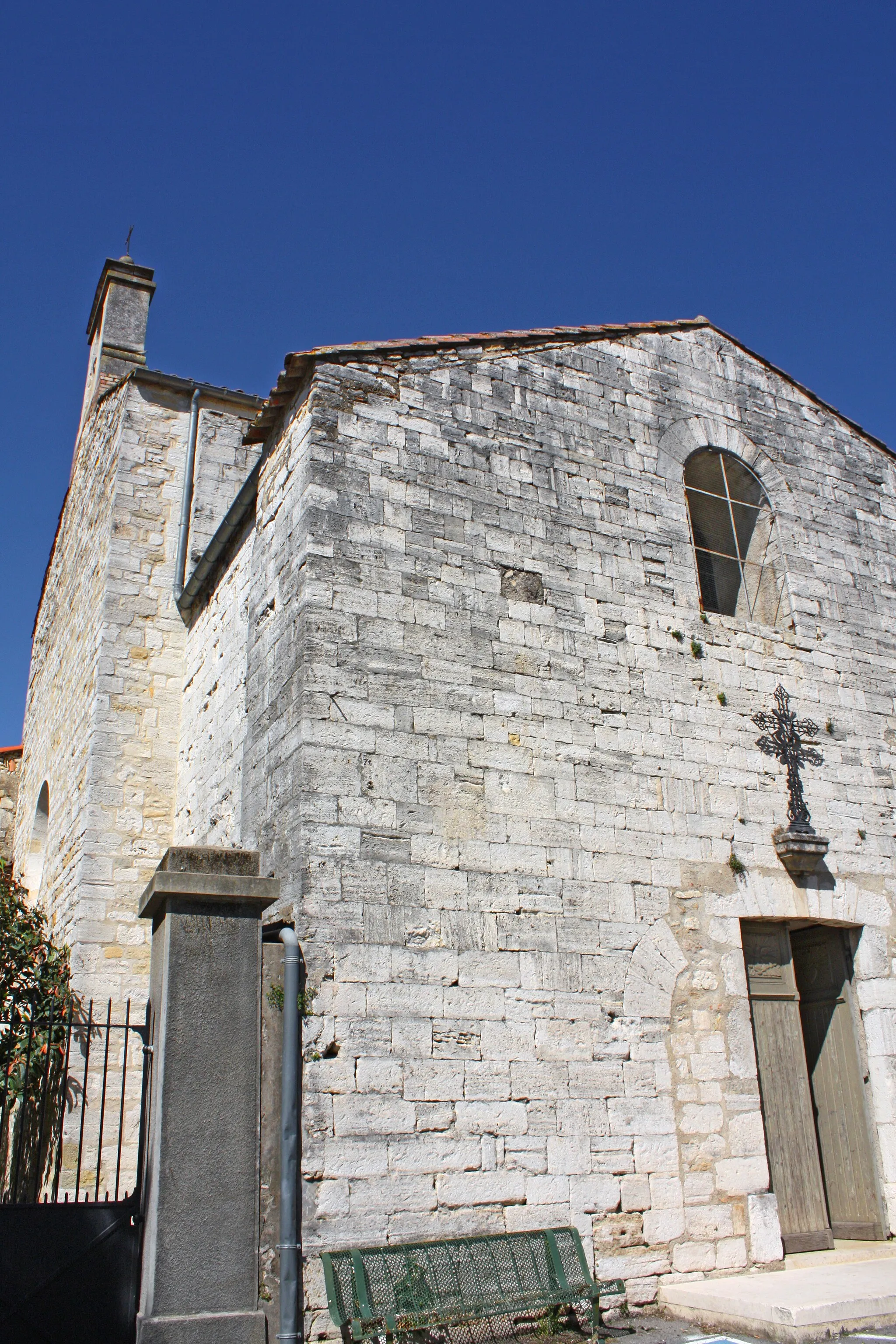
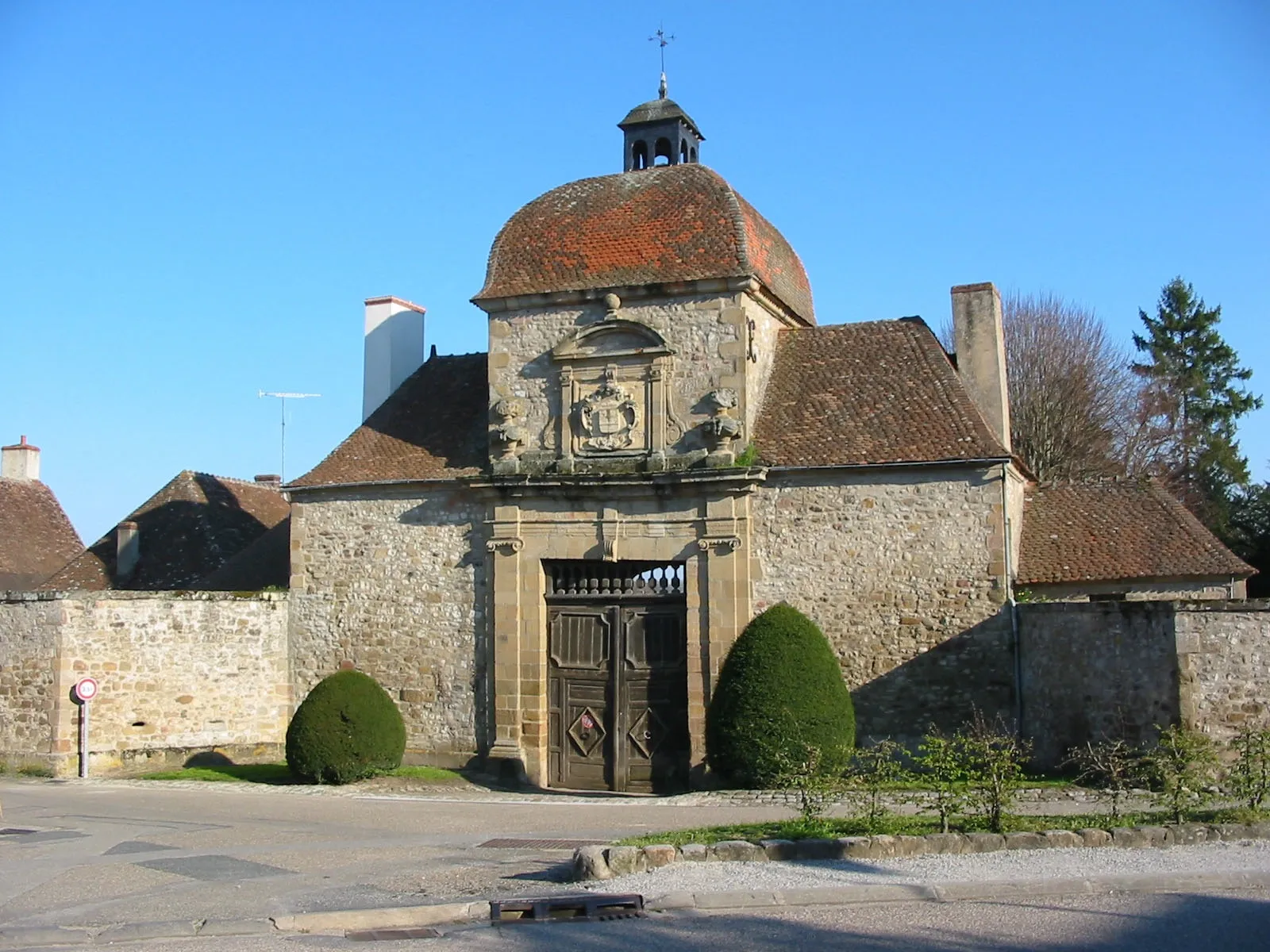
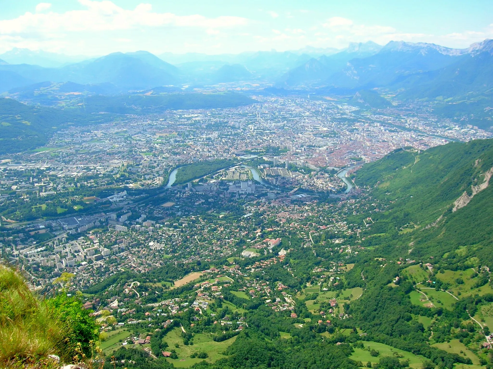
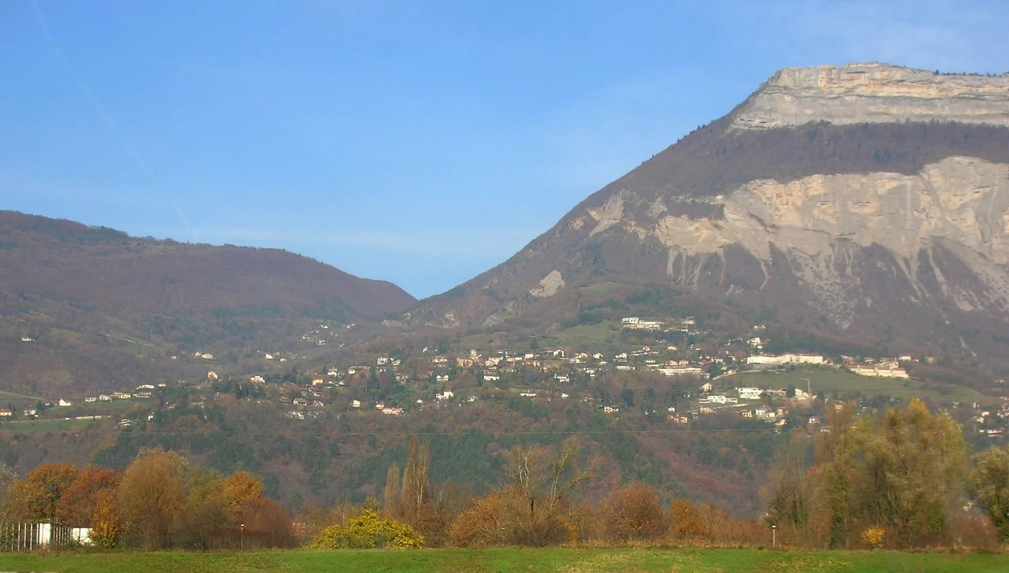
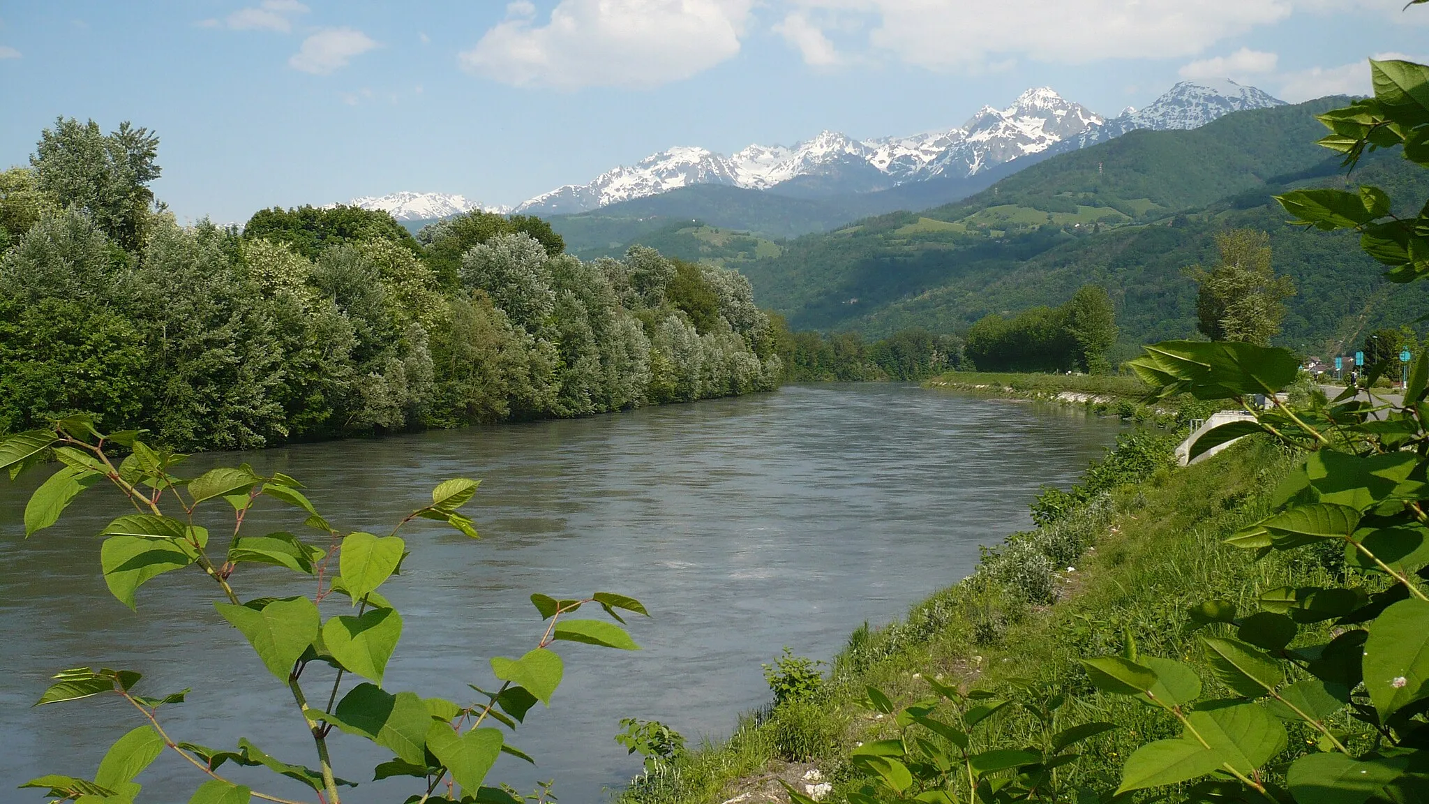
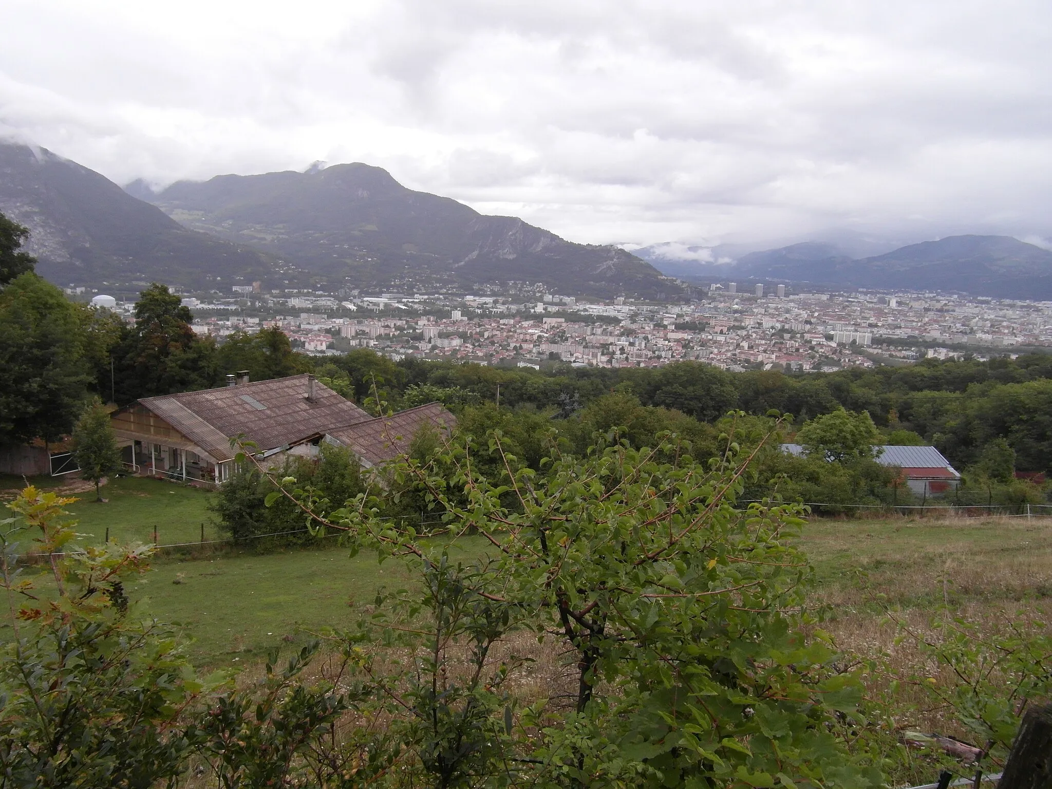
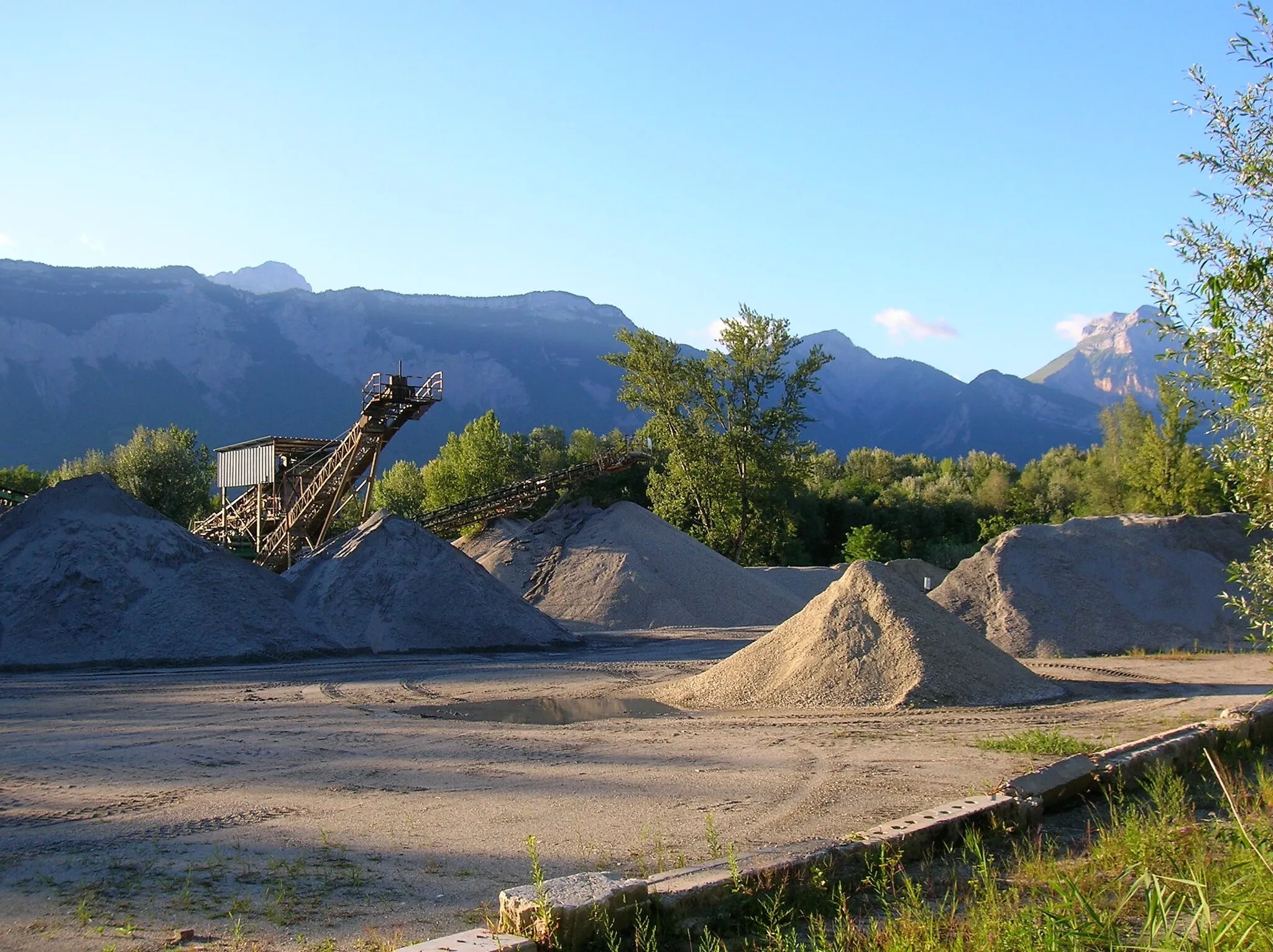
La Tronche is a town located in the Rhône-Alpes region of France. From a cyclist's perspective, La Tronche is a great cycling-friendly area. There are several scenic routes and well-maintained roads that are perfect for road and gravel cycling. The nearby mountains offer challenging climbs for more experienced cyclists. Overall, La Tronche is a popular destination for cyclists looking for both leisurely rides and more challenging routes.
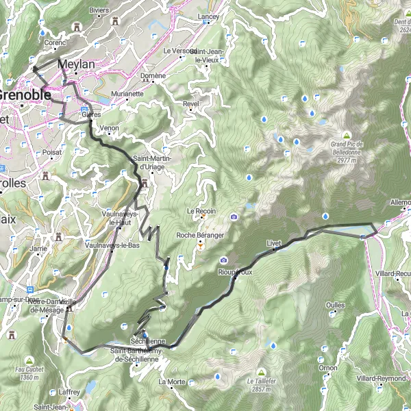
Discover the charming town of Saint-Martin-d'Hères on this scenic road cycling route
This road cycling route starting from La Tronche takes you through picturesque landscapes and small towns. With a total ascent of 2130 meters over a distance of 104 kilometers, it offers a challenging but rewarding experience. The route highlights include the historic Chartreuse de Prémol, the scenic Col Luitel, and the beautiful town of Séchilienne. Overall, this route provides a great mix of natural beauty and cultural attractions.
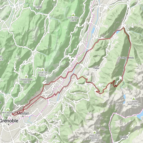
The Epic Alps Challenge
Conquer the Rhône-Alpes region by cycling through its stunning landscapes and tackling legendary climbs.
Embark on an unforgettable cycling adventure in Rhône-Alpes, known for its breathtaking scenery and challenging terrain. This route takes you on a 111 km round-trip journey starting near La Tronche. With an ascent of 3337 m and a mix of road and gravel surfaces, it offers a thrilling experience for both road cyclists and gravel enthusiasts. From quaint villages to mighty mountain passes, this route showcases the region's diverse beauty.
Grenoble Gravel Explorer

Embark on a gravel adventure exploring the outskirts of Grenoble.
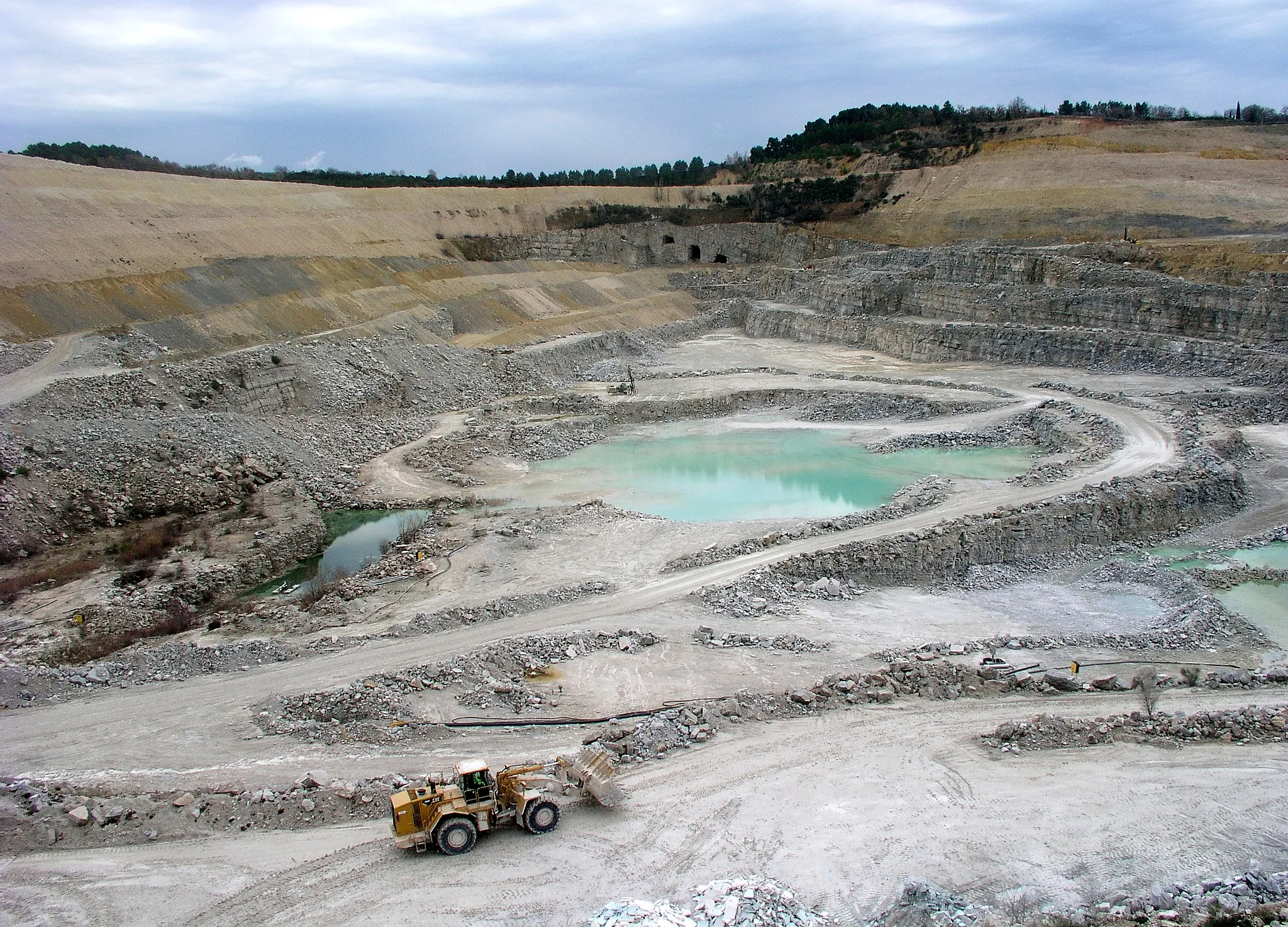
Escape the paved roads and explore the gravel trails surrounding Grenoble on this exciting 60 km route with an ascent of 1,282 m. Highlights include the breathtaking views from Terrasse des Géologues, the picturesque village of Engins, and a stunning viewpoint along the way. Get ready for a thrilling and adventurous ride on this gravel cycling route.
Take on the challenge of the gravel ride to Corenc
This challenging gravel cycling route starting near La Tronche takes you on an adventurous journey through tough terrains and breathtaking landscapes. With a total ascent of 2490 meters over a distance of 99 kilometers, it is suitable for experienced gravel riders looking for an epic challenge. The route highlights include the scenic village of Corenc, the rugged Col de Merdaret, and the picturesque town of Allevard. Overall, this route offers a thrilling and rewarding experience for gravel enthusiasts.
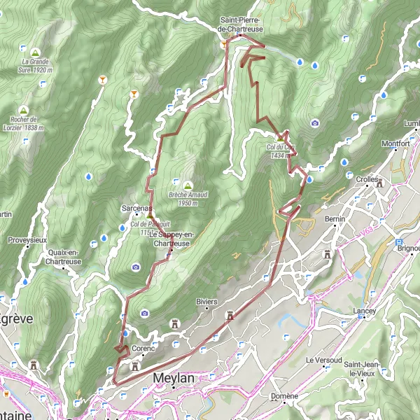
Embark on an exciting gravel adventure to Le Sappey-en-Chartreuse
This gravel cycling route starting near La Tronche takes you on a thrilling adventure through off-road trails and scenic landscapes. With a total ascent of 2088 meters over a distance of 56 kilometers, it offers a moderate challenge suitable for experienced gravel riders. The route highlights include the picturesque village of Le Sappey-en-Chartreuse, the stunning Col de Palaquit, and the iconic Porte de l'Enclos. Overall, this route provides a unique and adventurous experience for gravel enthusiasts.
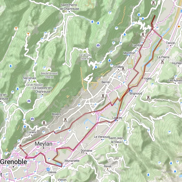
Discover the historical landmarks of Villard-Bonnot and Froges on this scenic gravel tour
This gravel cycling tour starting near La Tronche takes you through historical towns and stunning natural landscapes. With a total ascent of 400 meters over a distance of 60 kilometers, it offers a moderate challenge suitable for gravel riders of all levels. The route highlights include the ruins of the Ancien Prieuré, the picturesque town of Villard-Bonnot, and the charming village of Froges. Overall, this tour provides a unique blend of historical landmarks and natural beauty.
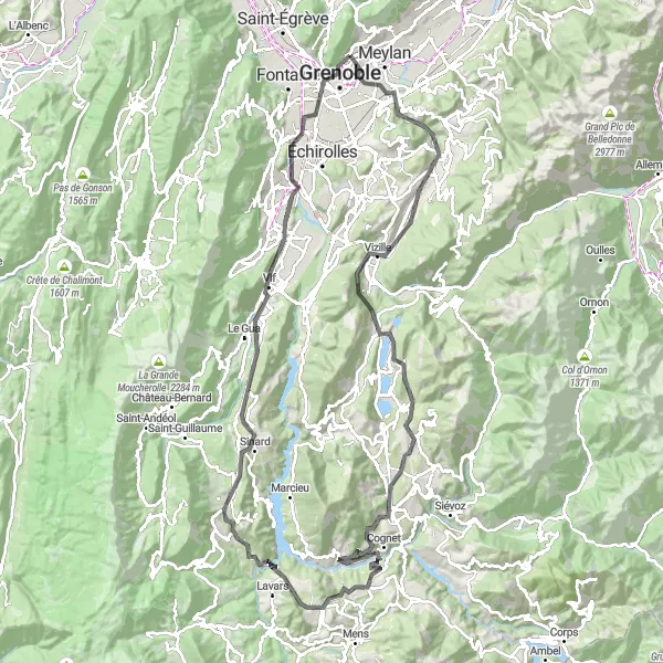
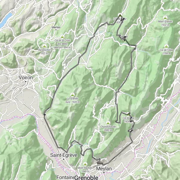
Experience the beauty and challenge of the legendary Chartreuse Mountains.
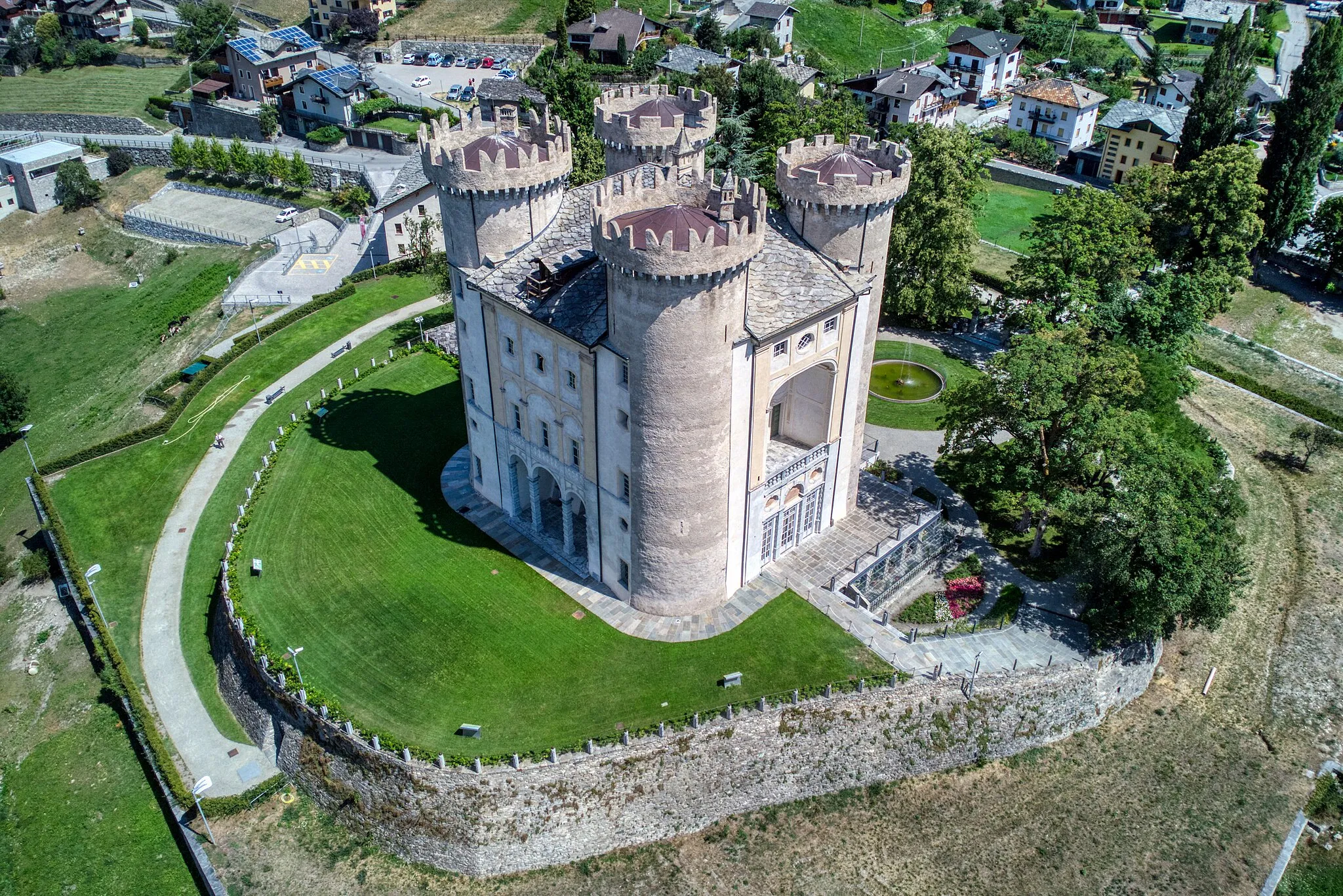
Embark on a journey through picturesque landscapes and challenging mountain roads as you explore the Chartreuse Mountains. With a total distance of 123 km and an ascent of 2,239 m, this route is sure to test your endurance. Enjoy highlights such as the historic town of Vizille, the stunning Col de Cornillon, and the majestic Mont Jalla. The route is suitable for road bikes.

Embark on a scenic road cycling adventure from Meylan to Chartreuse de Prémol
This road cycling route starting near La Tronche takes you through breathtaking landscapes and iconic sights. With a total ascent of 2082 meters over a distance of 78 kilometers, it offers a challenging yet fulfilling experience. The route highlights include the picturesque town of Chartreuse de Prémol, the scenic Col Luitel, and the charming village of Séchilienne. Overall, this route provides an exhilarating mix of natural beauty and cultural attractions.
Experience the thrilling off-road trails near La Tronche
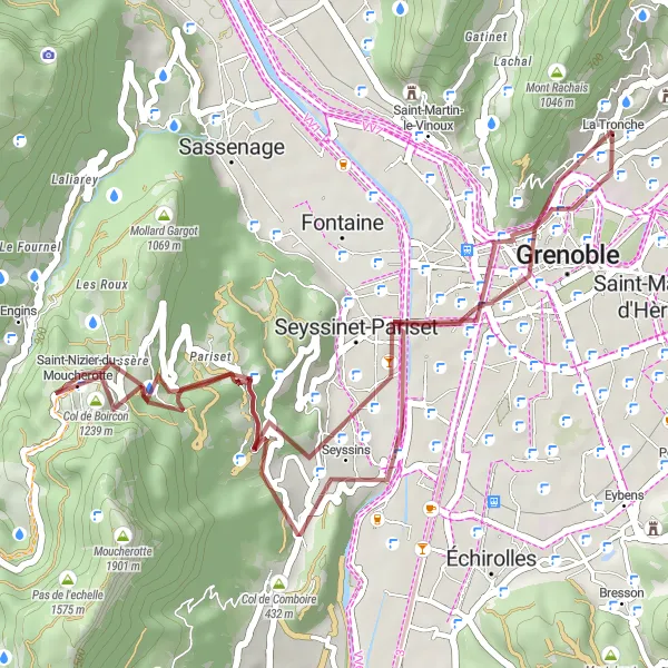
Embark on a gravel adventure near La Tronche and explore the rugged natural beauty of Rhône-Alpes. This challenging 41-kilometer route features a total ascent of 1086 meters, taking you through picturesque countryside and quaint villages. Suitable for well-trained amateurs, the trail offers a unique cycling experience away from crowded roads. With highlights including the scenic Seyssins, the stunning Col de Comboire, the charming town of Échirolles, the vibrant city of Grenoble, and the majestic Mont Jalla, this route promises a memorable journey for all gravel enthusiasts.
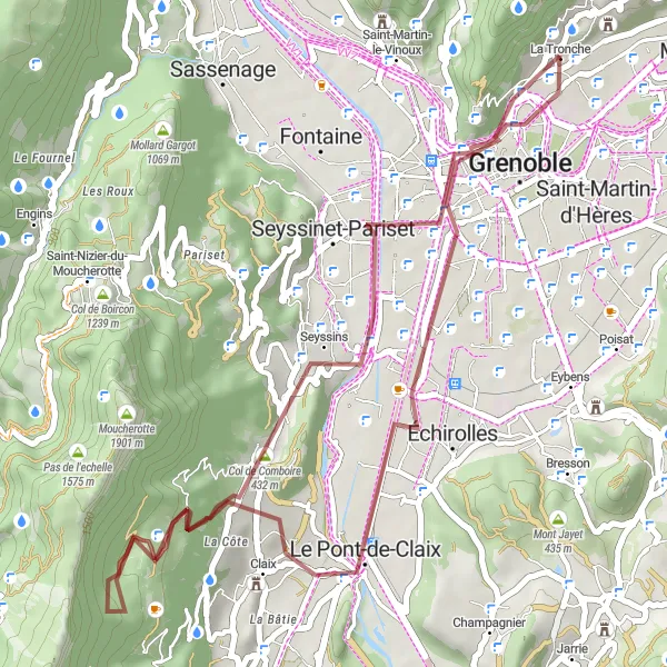
Push your limits on this challenging gravel route near La Tronche
Take on the ultimate gravel challenge near La Tronche with this 38-kilometer long route, featuring a grueling ascent of 1171 meters. Recommended for highly experienced amateurs, this route will test your skills and endurance as you navigate through rugged terrain and breathtaking landscapes. Highlights include the Terrasse des Géologues, providing a unique geological discovery, Seyssins for a serene stopover, Saint-Nizier-du-Moucherotte where you can embrace panoramic views, a vantage point offering breathtaking scenery, the vibrant city of Grenoble, and the majestic Mont Jalla.
Cycling routes nearby:


Nearby regions: