![Cover image](https://images.tarmacs.app/cycling-routes/covers/france/rhone-alpes/montbonnot-saint-martin-5.webp)
Cycling wonderland amidst Rhône-Alps.
Cycling routes from Montbonnot-Saint-Martin
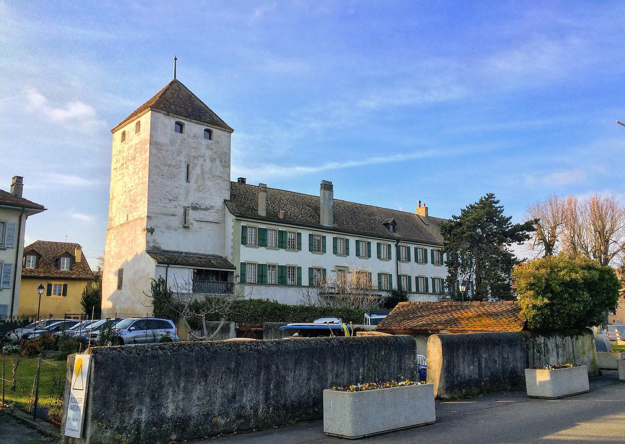
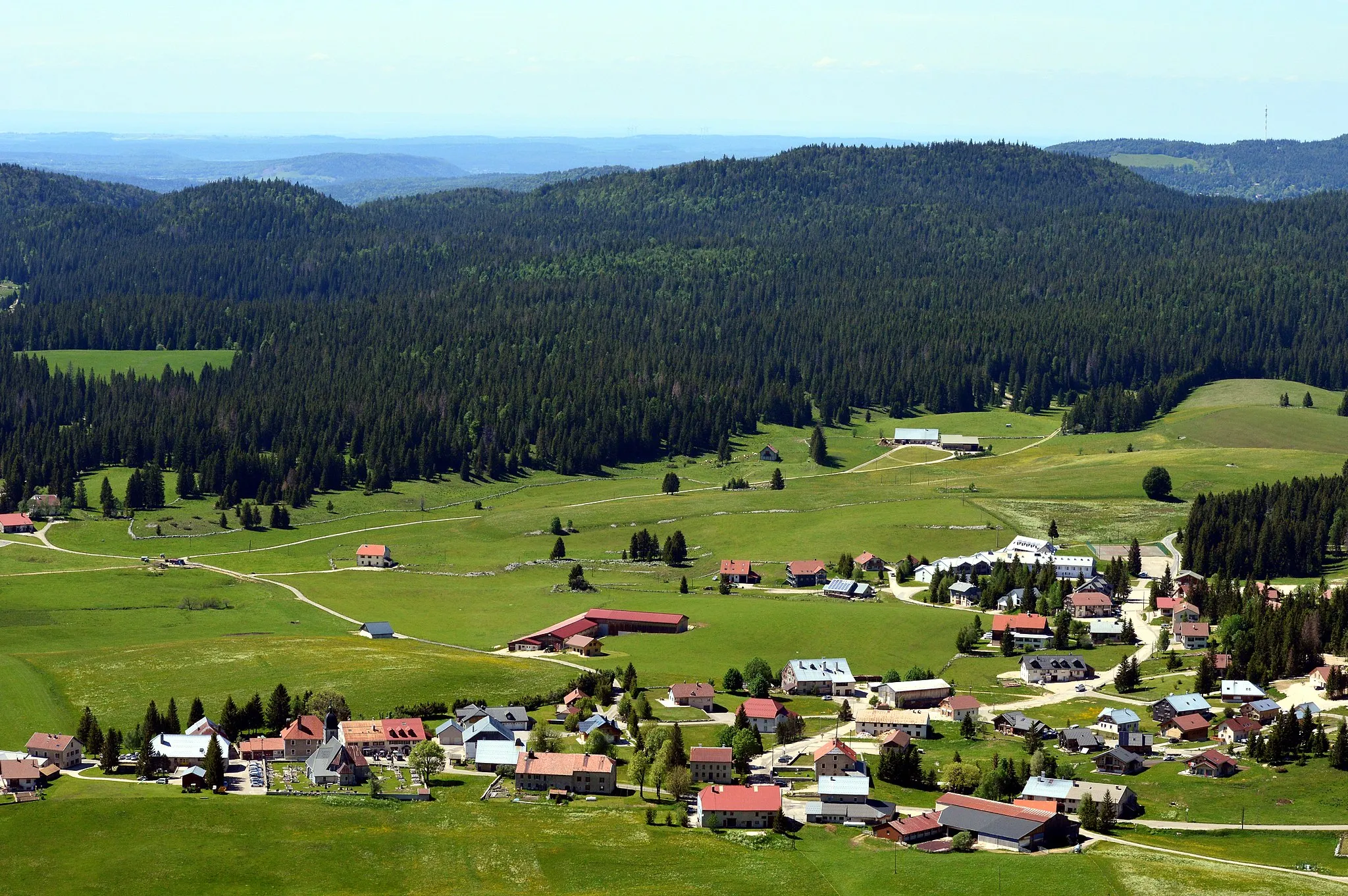
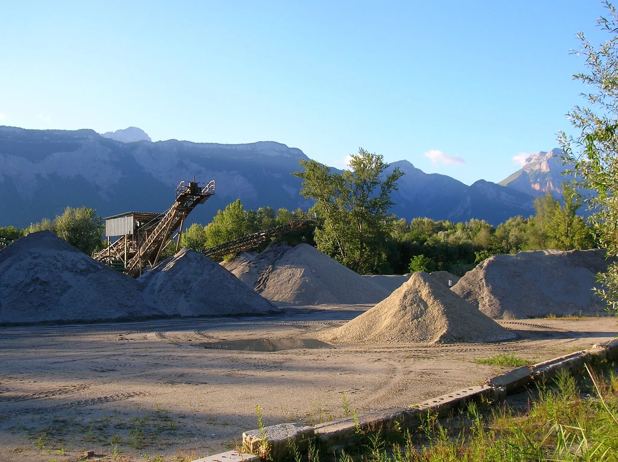
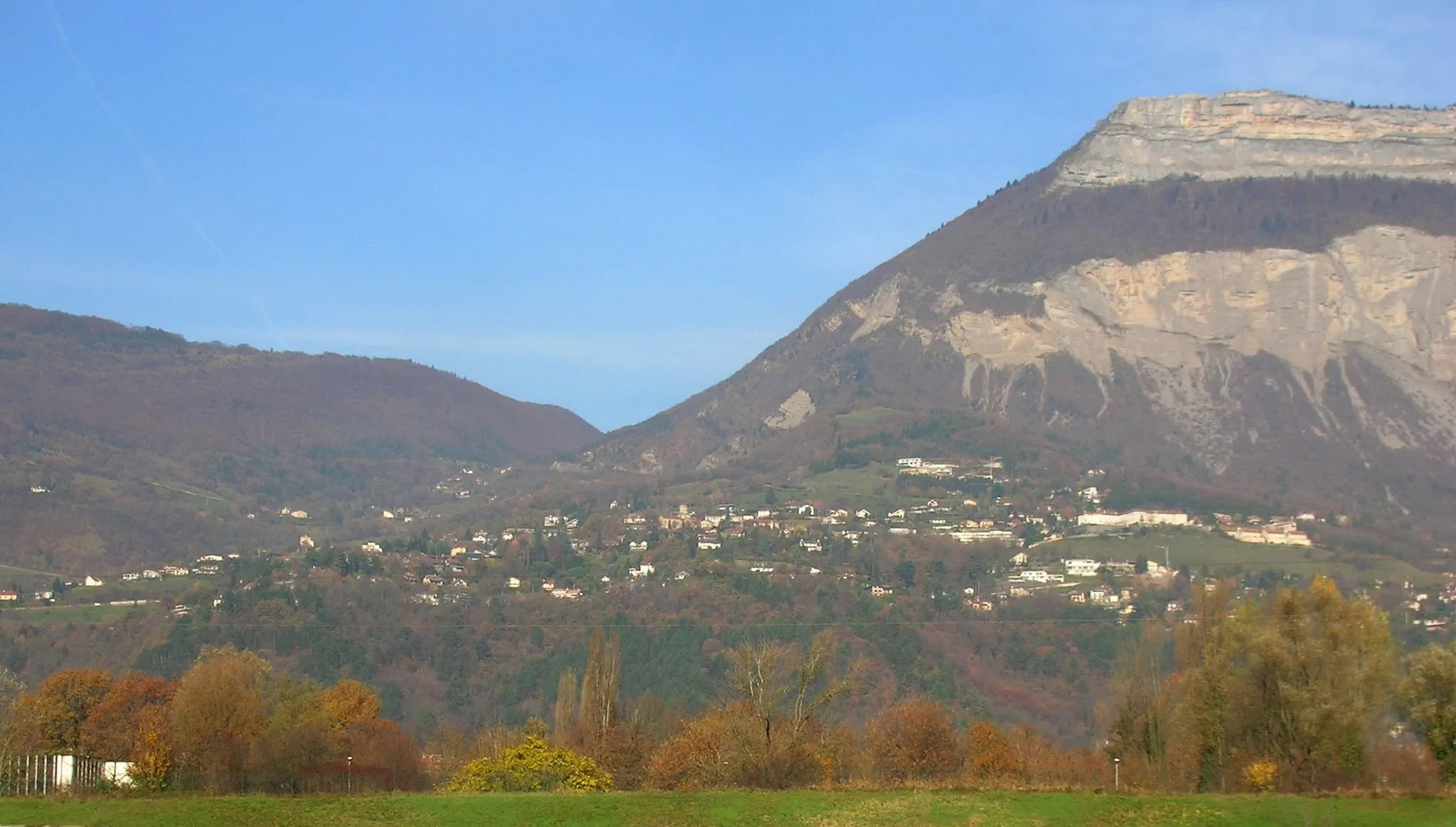
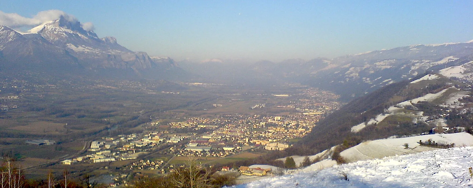
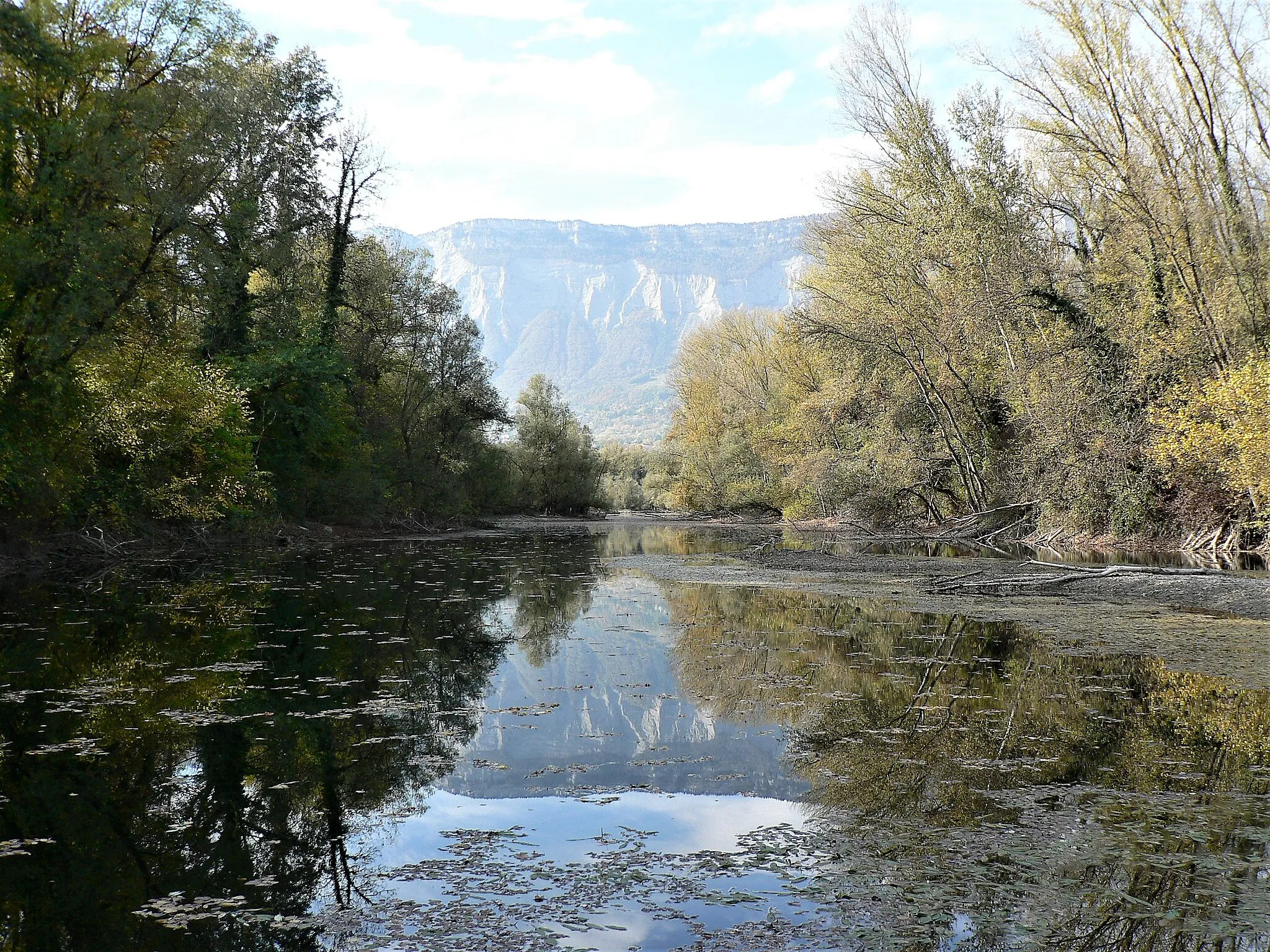
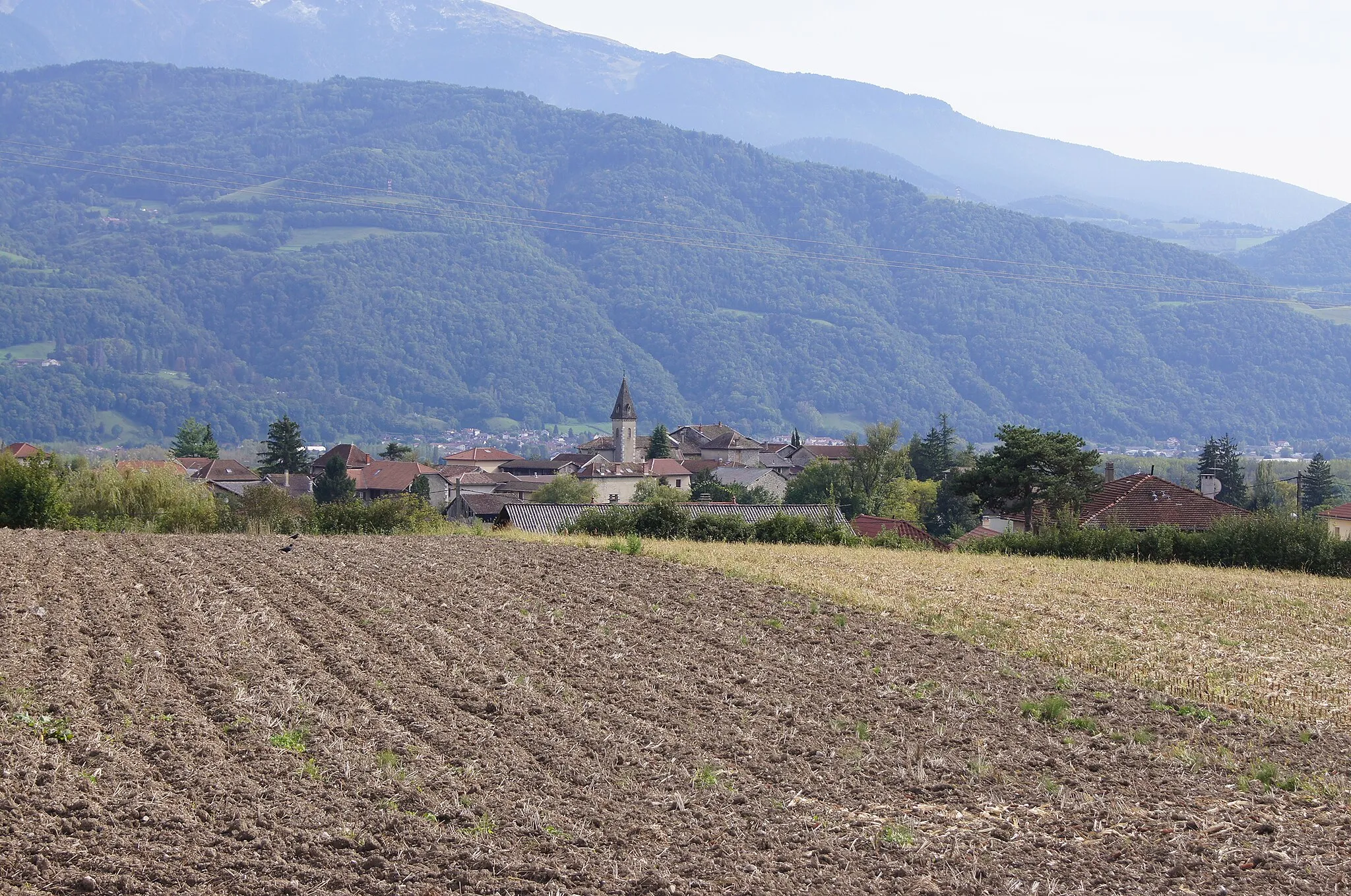
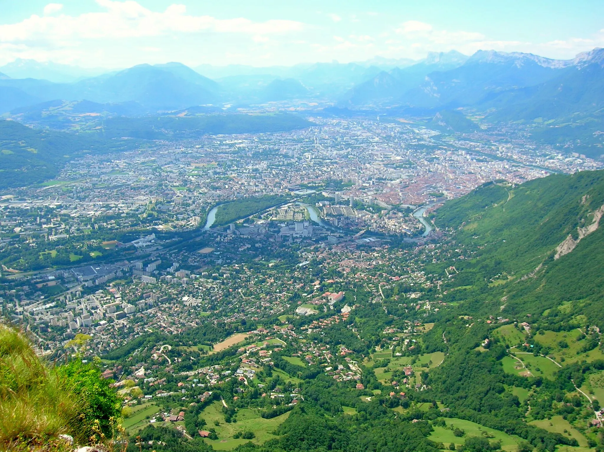
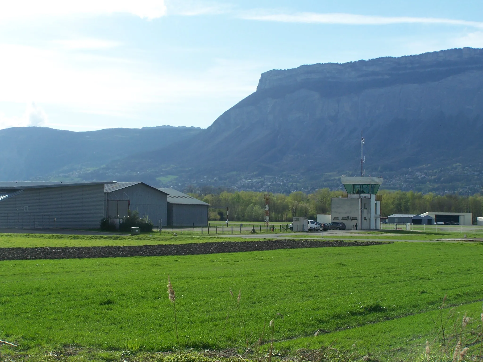
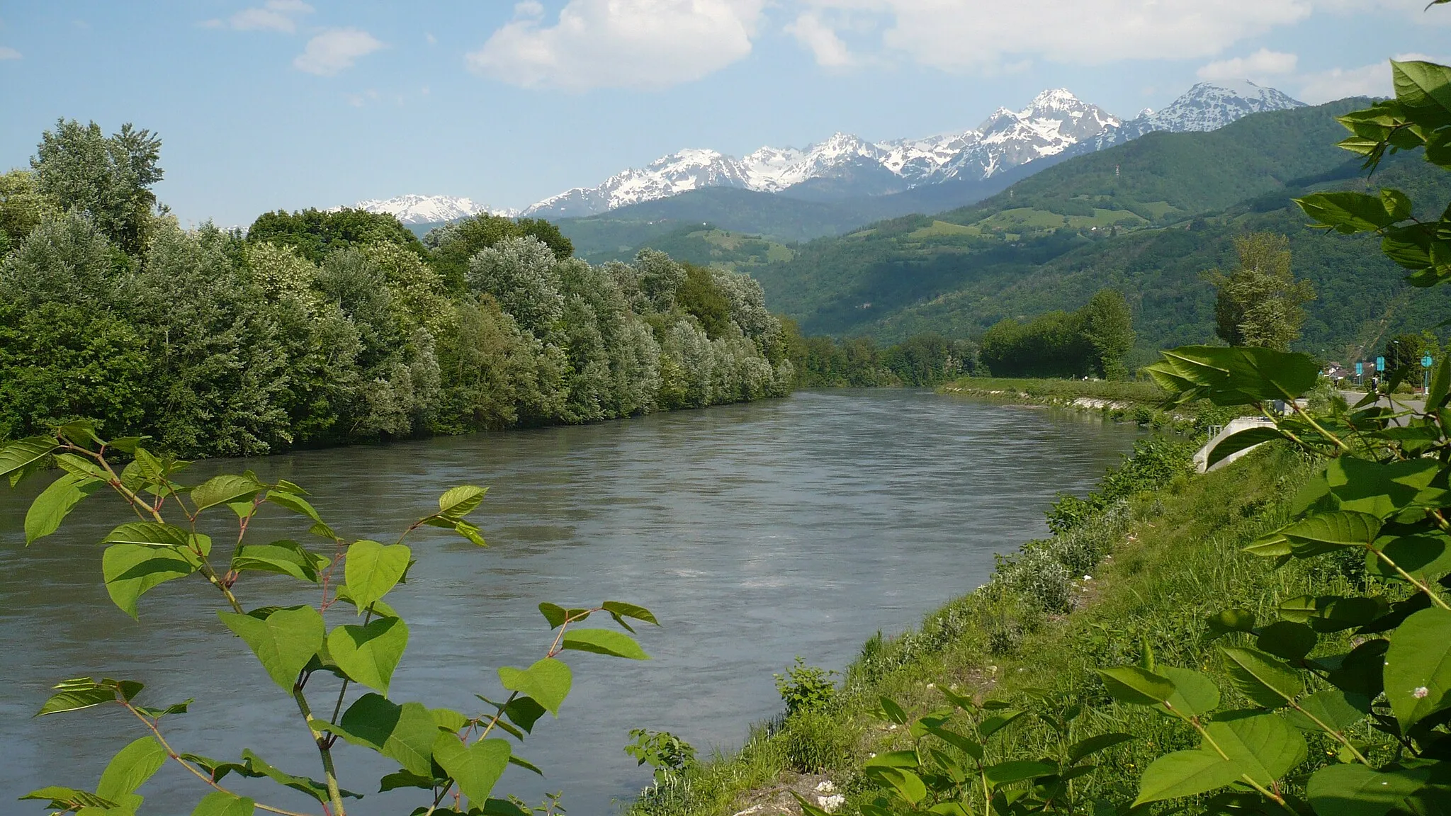
Montbonnot-Saint-Martin is a town located in the Rhône-Alps region of France. From a cyclist's perspective, Montbonnot-Saint-Martin offers a mix of challenging climbs and rolling countryside routes. The famous cycling climb, Col de Porte, is within reach and boasts breathtaking views of the surrounding mountains. In addition to this, the town has well-maintained roads and easy access to scenic cycling routes such as the Chartreuse Regional Nature Park. Montbonnot-Saint-Martin is a great locality for both road and gravel cyclists who enjoy the combination of challenging ascents and peaceful rural landscapes.
![Map miniature of "Gravel Adventure through the Alps" cycling inspiration in Rhône-Alpes, France. Generated by Tarmacs.app cycling route planner](https://images.tarmacs.app/cycling-routes/routemaps/600/france/rhone-alpes/montbonnot-saint-martin/gravel/19580.webp)
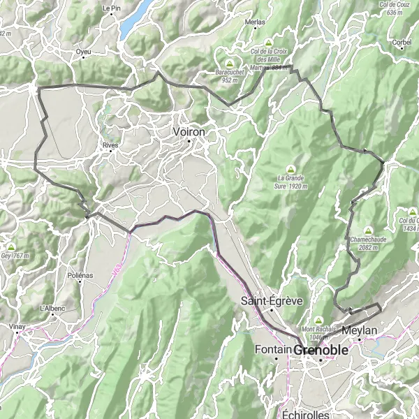
Explore quaint villages and stunning scenery on this 90 km gravel bike ride in the Rhône-Alpes region.
This gravel adventure takes you through the picturesque countryside of Rhône-Alpes, where you'll discover charming villages, challenging ascents, and breathtaking views. The route covers a distance of 90 km and includes 1,761 meters of ascent. Enjoy the diverse terrain as you ride on gravel paths, quiet roads, and scenic mountain passes. Difficulty: 3 Epicness: 4
![Map miniature of "Epic Road Cycling Challenge in the Chartreuse Mountains" cycling inspiration in Rhône-Alpes, France. Generated by Tarmacs.app cycling route planner](https://images.tarmacs.app/cycling-routes/routemaps/600/france/rhone-alpes/montbonnot-saint-martin/road/19584.webp)
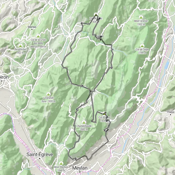
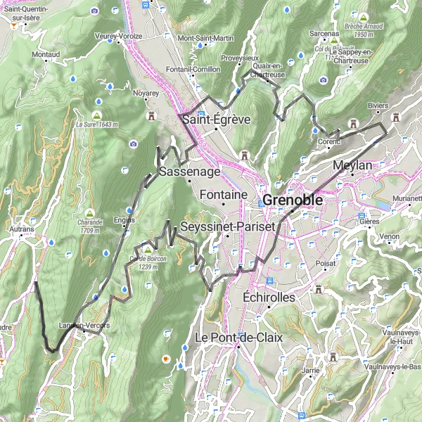
Conquer challenging climbs and breathtaking descents on this 102 km road cycling route in the Chartreuse Mountains.
Dive into the stunning landscapes of the Chartreuse Mountains on this epic road cycling challenge. With a distance of 102 km and 3,584 meters of ascent, this route is not for the faint-hearted. Experience thrilling descents, conquer challenging climbs, and take in the incredible views along the way. Difficulty: 5 Epicness: 5
![Map miniature of "Leisurely Gravel Ride to Saint-Ismier" cycling inspiration in Rhône-Alpes, France. Generated by Tarmacs.app cycling route planner](https://images.tarmacs.app/cycling-routes/routemaps/600/france/rhone-alpes/montbonnot-saint-martin/gravel/19565.webp)
Enjoy a leisurely 56 km gravel ride to the charming village of Saint-Ismier.
Experience a leisurely cycling adventure through the scenic countryside surrounding Montbonnot-Saint-Martin. This 56 km gravel ride offers a picturesque route with minimal ascent, making it perfect for beginners and those looking for a relaxed ride. Difficulty: 2 Epicness: 3
![Map miniature of "Road Cycling Tour of the Vercors" cycling inspiration in Rhône-Alpes, France. Generated by Tarmacs.app cycling route planner](https://images.tarmacs.app/cycling-routes/routemaps/600/france/rhone-alpes/montbonnot-saint-martin/road/19583.webp)
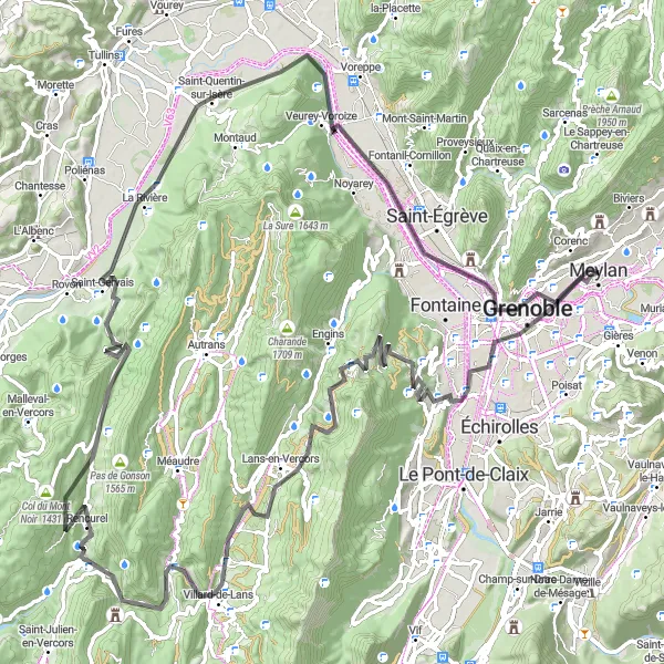
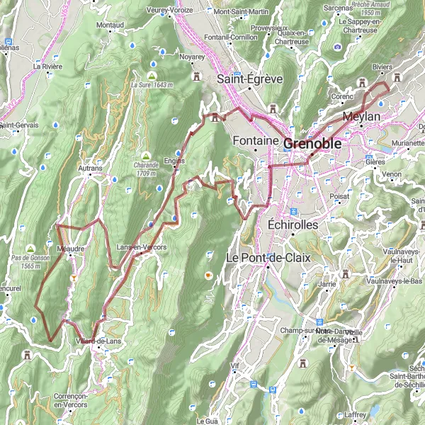
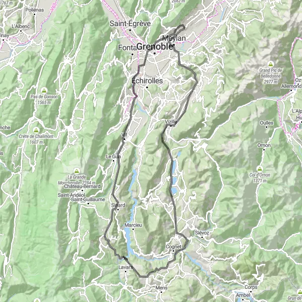
Embark on a challenging 113 km road cycling tour of the stunning Vercors Natural Park.
This road cycling tour takes you through the spectacular Vercors Natural Park, offering breathtaking views and thrilling descents. With a distance of 113 km and 2,483 meters of ascent, this route is suitable for experienced cyclists looking for a challenge. Difficulty: 5 Epicness: 4
![Map miniature of "Mont Jalla and Col de Parménie Loop" cycling inspiration in Rhône-Alpes, France. Generated by Tarmacs.app cycling route planner](https://images.tarmacs.app/cycling-routes/routemaps/600/france/rhone-alpes/montbonnot-saint-martin/road/19573.webp)
Discover the stunning Mont Jalla and challenge yourself on the Col de Parménie
This round-trip cycling route starts near Montbonnot-Saint-Martin and takes you through picturesque landscapes, with highlights including Grenoble, Col de Parménie, and Mont Jalla. The route covers a distance of 117 km with a total ascent of 2222 m. It is suitable for road bikes and offers a moderate difficulty level.
![Map miniature of "Les Trois Pucelles Loop" cycling inspiration in Rhône-Alpes, France. Generated by Tarmacs.app cycling route planner](https://images.tarmacs.app/cycling-routes/routemaps/600/france/rhone-alpes/montbonnot-saint-martin/road/19569.webp)
Conquer the challenging Les Trois Pucelles route
Take on the demanding Les Trois Pucelles loop starting near Montbonnot-Saint-Martin. This road cycling route covers a distance of 94 km with an ascent of 2491 m. Highlights along the way include Grenoble, Les Trois Pucelles, and Belvédère Vauban. Suitable for road bikes, this route offers a moderate difficulty level.
![Map miniature of "Lans-en-Vercors Gravel Adventure" cycling inspiration in Rhône-Alpes, France. Generated by Tarmacs.app cycling route planner](https://images.tarmacs.app/cycling-routes/routemaps/600/france/rhone-alpes/montbonnot-saint-martin/gravel/19575.webp)
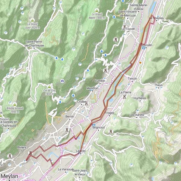
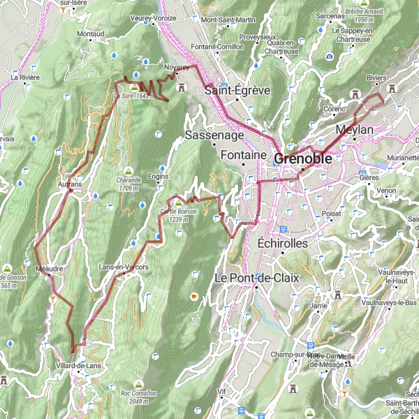
Embrace adventure on this gravel route through Lans-en-Vercors
Embark on an exciting gravel adventure starting near Montbonnot-Saint-Martin and explore the rugged beauty of Lans-en-Vercors. The route covers a distance of 94 km with an ascent of 2518 m. Highlights along the way include Grenoble, Col de Comboire, and Point de vue Cornafion. Suitable for gravel bikes, this route offers a moderate difficulty level.
Scenic Meylan Loop
![Map miniature of "Scenic Meylan Loop" cycling inspiration in Rhône-Alpes, France. Generated by Tarmacs.app cycling route planner](https://images.tarmacs.app/cycling-routes/routemaps/600/france/rhone-alpes/montbonnot-saint-martin/road/19592.webp)
Explore the scenic beauty of Meylan on this road cycling route
Immerse yourself in the natural beauty of Meylan and its surroundings with this road cycling route starting near Montbonnot-Saint-Martin. The route covers a distance of 61 km with an ascent of 756 m. Highlights include Molard, Vaulnaveys-le-Haut, and Montagne de Grand Rochefort. Suitable for road bikes, this route offers an easy difficulty level.
![Map miniature of "La Mure and Col du Fau Adventure" cycling inspiration in Rhône-Alpes, France. Generated by Tarmacs.app cycling route planner](https://images.tarmacs.app/cycling-routes/routemaps/600/france/rhone-alpes/montbonnot-saint-martin/road/19576.webp)
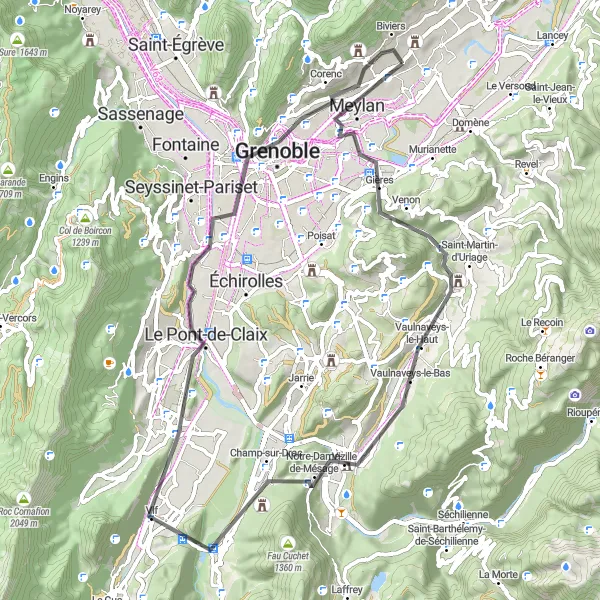
Embark on an adventure to La Mure and conquer the challenging Col du Fau
Experience an adventurous and challenging road cycling route starting near Montbonnot-Saint-Martin, with highlights including Meylan, Saut à l'élastique, and Roissard. The route covers a distance of 119 km with an ascent of 2131 m. Suitable for road bikes, this route offers a moderate difficulty level.
![Map miniature of "Gravel Adventure in the Vercors" cycling inspiration in Rhône-Alpes, France. Generated by Tarmacs.app cycling route planner](https://images.tarmacs.app/cycling-routes/routemaps/600/france/rhone-alpes/montbonnot-saint-martin/gravel/19581.webp)
Embark on a thrilling 96 km gravel adventure through the stunning Vercors Natural Park.
This gravel adventure takes you through the breathtaking landscapes of the Vercors Natural Park, offering challenging ascents and thrilling descents. With a distance of 96 km and 2,440 meters of ascent, this route is suitable for experienced cyclists looking for a thrilling off-road adventure. Difficulty: 4 Epicness: 5
Cycling routes nearby:
![Image of Biviers](https://images.tarmacs.app/cycling-routes/covers/france/rhone-alpes/biviers-5.webp)
![Image of Meylan](https://images.tarmacs.app/cycling-routes/covers/france/rhone-alpes/meylan-5.webp)
![Image of Corenc](https://images.tarmacs.app/cycling-routes/covers/france/rhone-alpes/corenc-2.webp)
![Image of Domène](https://images.tarmacs.app/cycling-routes/covers/france/rhone-alpes/domene-5.webp)
![Image of Saint-Ismier](https://images.tarmacs.app/cycling-routes/covers/france/rhone-alpes/saint-ismier-5.webp)
![Image of Saint-Nazaire-les-Eymes](https://images.tarmacs.app/cycling-routes/covers/france/rhone-alpes/saint-nazaire-les-eymes-5.webp)
![Image of La Tronche](https://images.tarmacs.app/cycling-routes/covers/france/rhone-alpes/la-tronche-5.webp)
![Image of Le Versoud](https://images.tarmacs.app/cycling-routes/covers/france/rhone-alpes/le-versoud-5.webp)
![Image of Gières](https://images.tarmacs.app/cycling-routes/covers/france/rhone-alpes/gieres-3.webp)
Nearby regions:
![Image of Région lémanique](https://images.tarmacs.app/cycling-routes/covers/switzerland/region-lemanique/saint-prex-2.webp)
![Image of Espace Mittelland](https://images.tarmacs.app/cycling-routes/covers/switzerland/espace-mittelland/ueberstorf-2.webp)
![Image of Bourgogne](https://images.tarmacs.app/cycling-routes/covers/france/bourgogne/saint-valerien-4.webp)
![Image of Franche-Comté](https://images.tarmacs.app/cycling-routes/covers/france/franche-comte/bois-d-amont-3.webp)
![Image of Languedoc-Roussillon](https://images.tarmacs.app/cycling-routes/covers/france/languedoc-roussillon/sauveterre-2.webp)
![Image of Auvergne](https://images.tarmacs.app/cycling-routes/covers/france/auvergne/vic-sur-cere-5.webp)
![Image of Provence-Alpes-Côte d’Azur](https://images.tarmacs.app/cycling-routes/covers/france/provence-alpes-cote-dazur/loriol-du-comtat-3.webp)
![Image of Piemonte](https://images.tarmacs.app/cycling-routes/covers/italy/piemonte/alpignano-1.webp)
![Image of Valle d’Aosta/Vallée d’Aoste](https://images.tarmacs.app/cycling-routes/covers/italy/valle-daosta-vallee-daoste/verres-3.webp)