A cyclist's paradise in the heart of the Rhône-Alpes region.
Cycling routes from Saint-Ismier
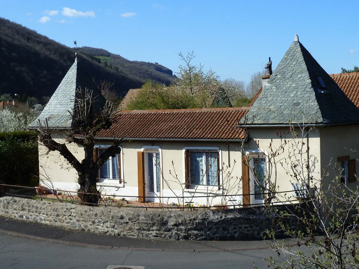
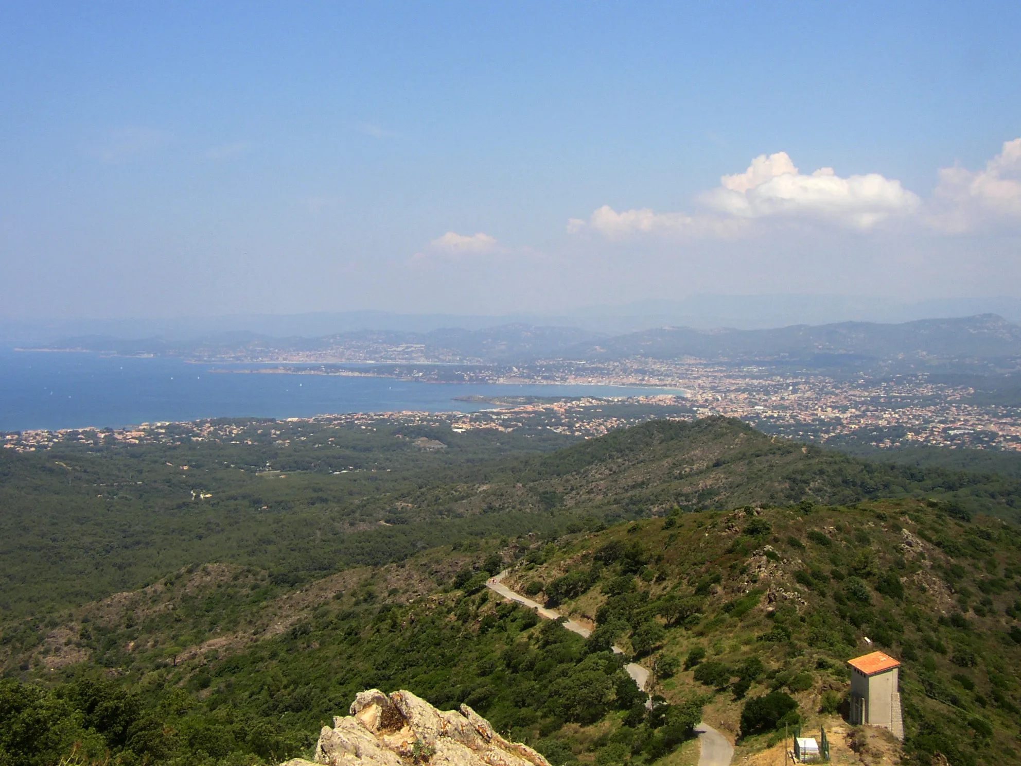
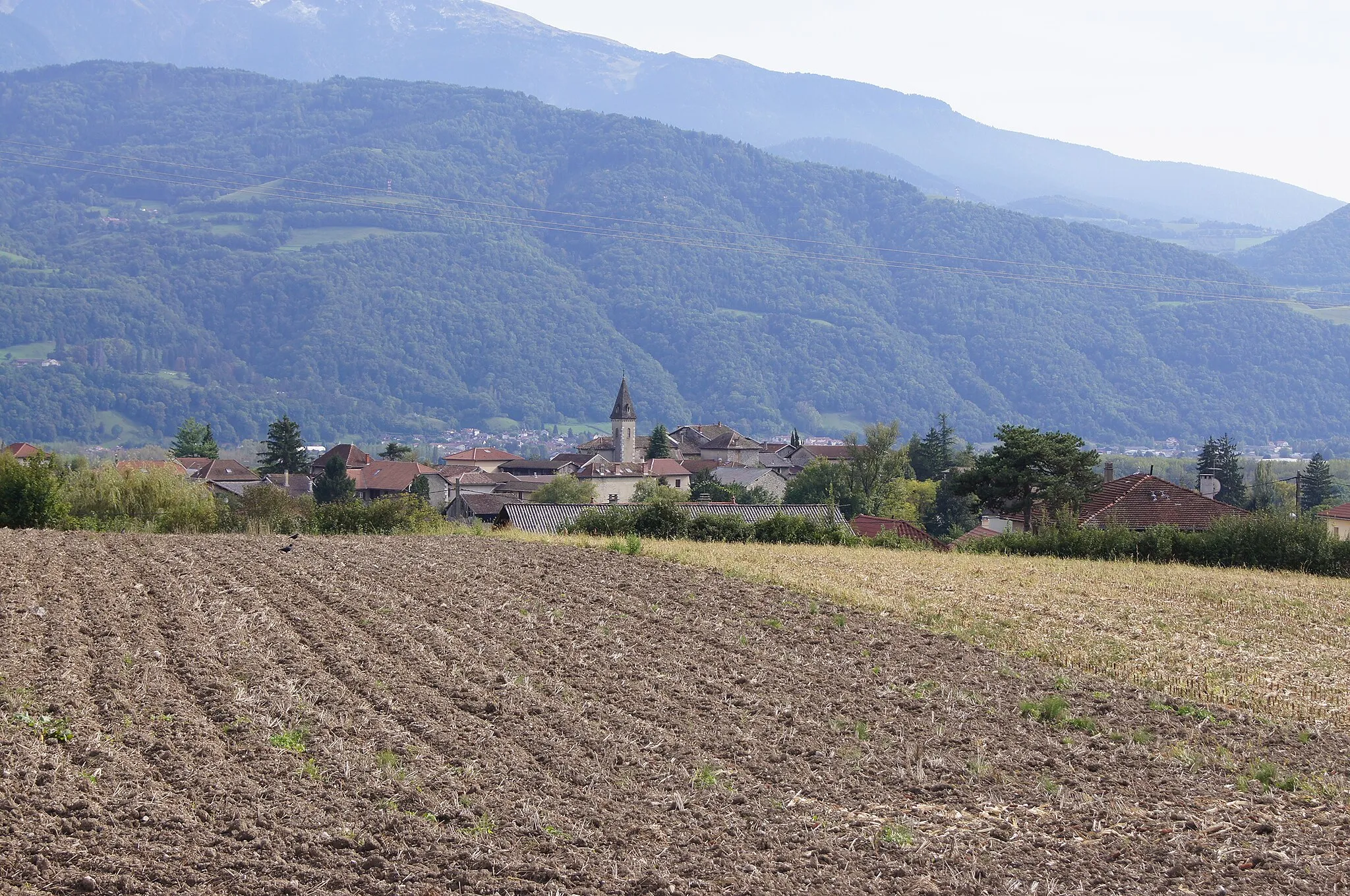
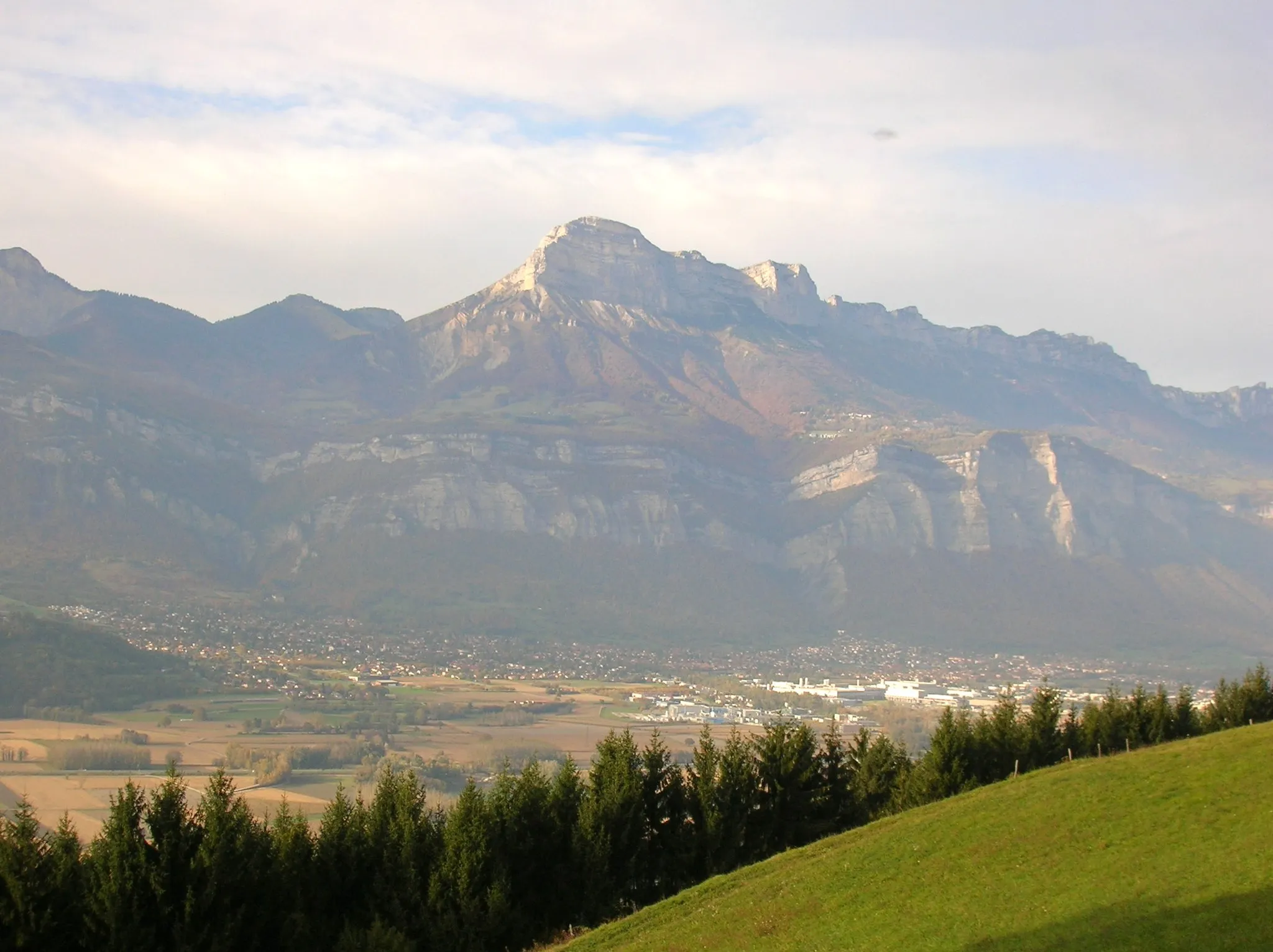
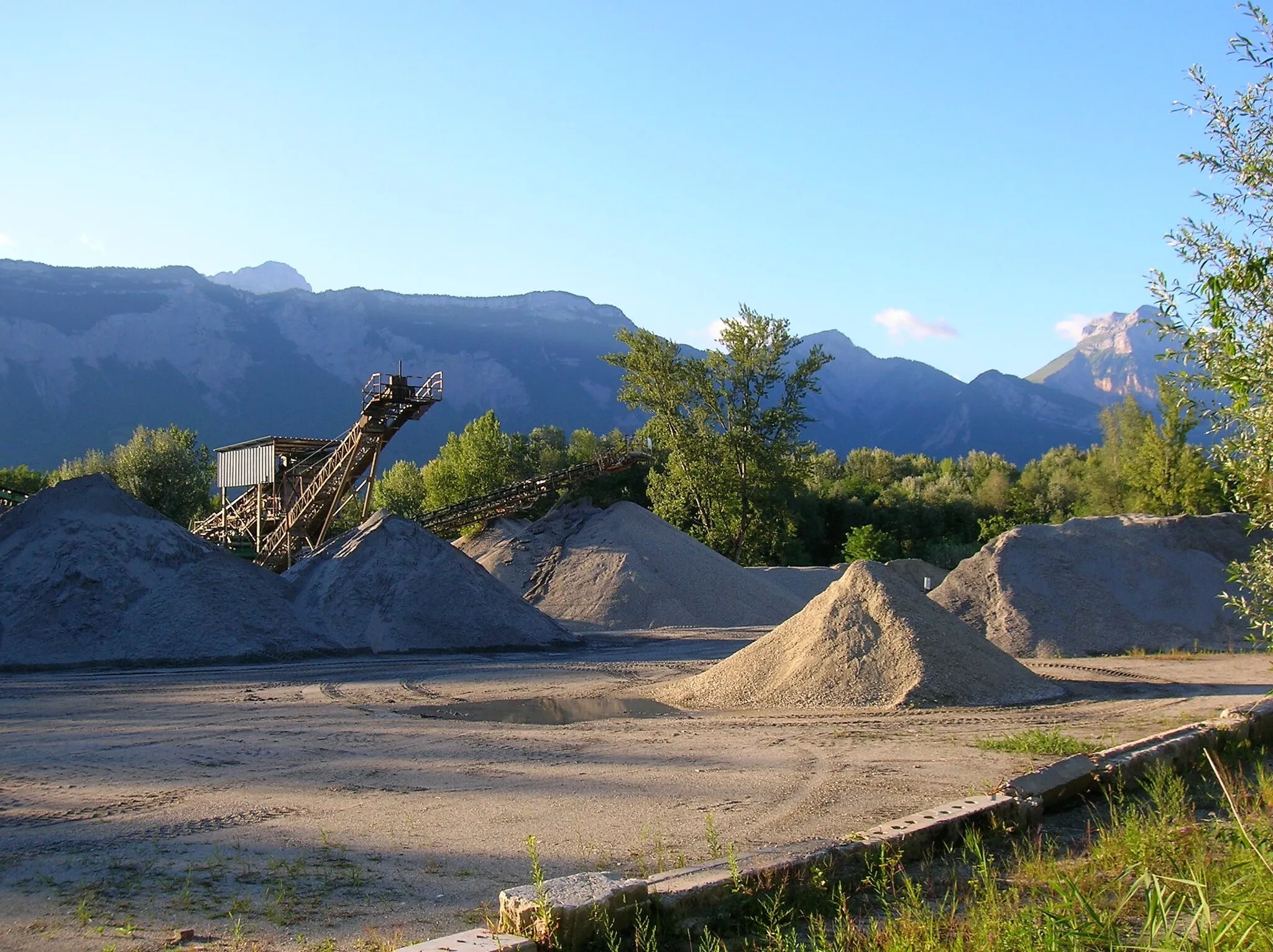
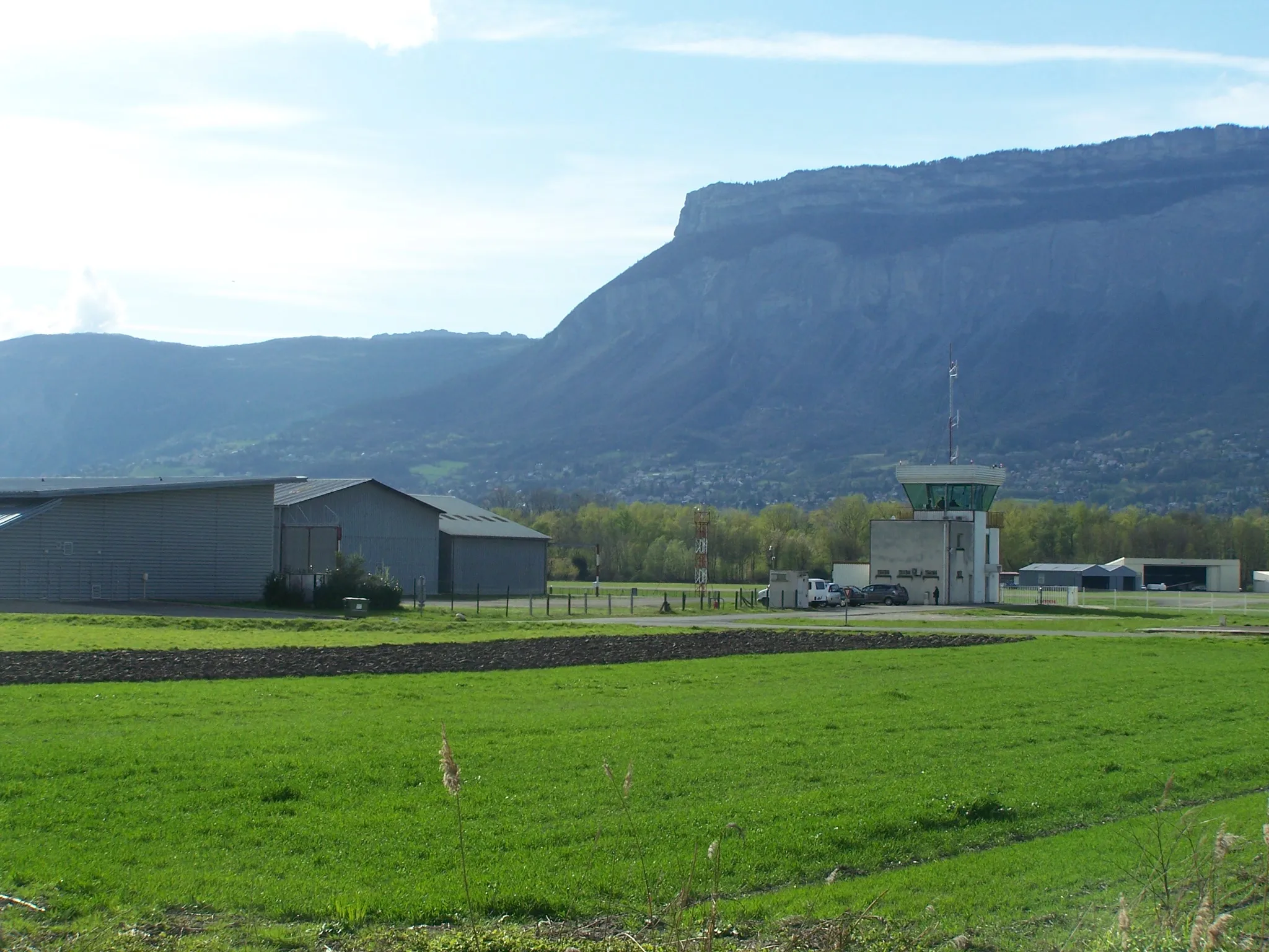
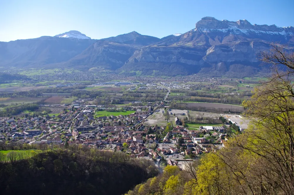
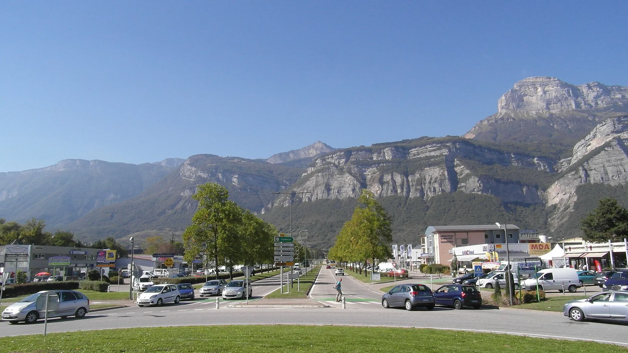
Saint-Ismier is a charming locality located in the Rhône-Alpes region of France. From a cyclist's perspective, this area offers a wide variety of road and gravel cycling opportunities. The rolling hills and scenic landscapes make for enjoyable rides, while the well-maintained roads provide a smooth cycling experience. Saint-Ismier is also known for its proximity to several famous climbs, including the challenging Mont Ventoux. With its cyclist-friendly infrastructure and beautiful surroundings, Saint-Ismier is a highly recommended destination for both road and gravel cyclists.
Embark on a challenging gravel adventure through historic towns
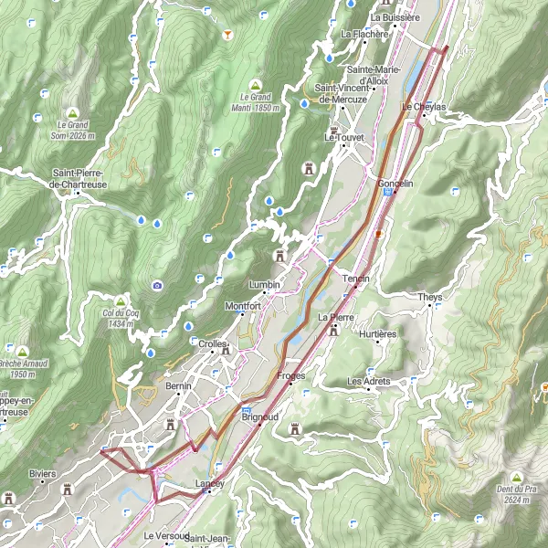
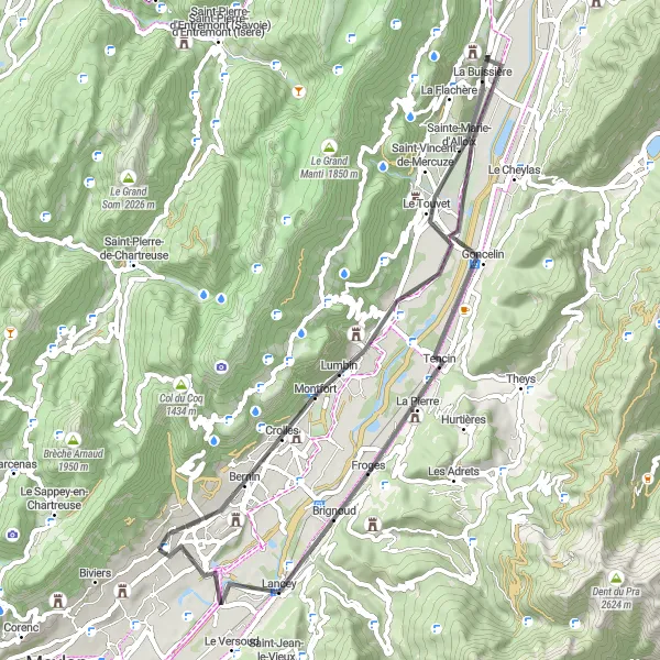
This gravel route will take you on a challenging adventure through Froges, Le Touvet, Goncelin, and Saint-Nazaire-les-Eymes. With a distance of 66 kilometers and an ascent of 487 meters, it's a longer and more demanding ride compared to the previous route. You'll pass through historic towns and enjoy panoramic views of the surrounding countryside. The route is suitable for gravel bikes.
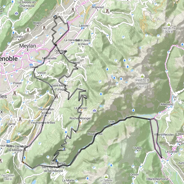
Experience the thrill of climbing to Pas de la Coche and enjoy breathtaking views along the way.
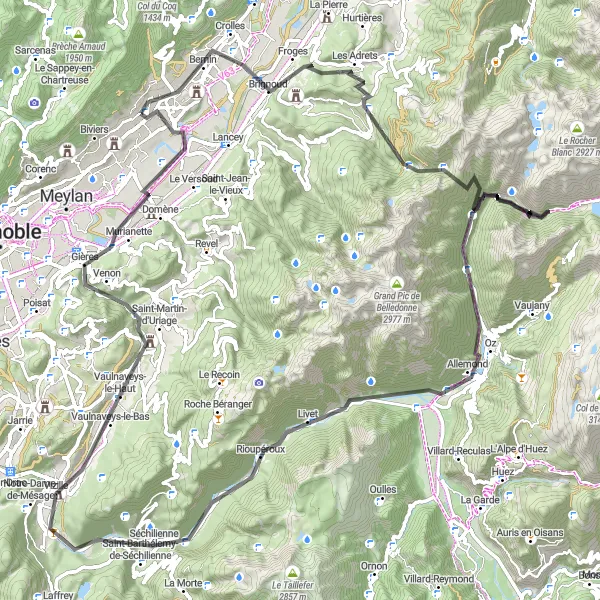
Embark on a thrilling road cycling adventure starting near Saint-Ismier on this challenging 109 km route with a total ascent of 3038 m. Discover highlights like Le Champ-près-Froges, Prabert, Pas de la Coche, Relais, Saint-Barthélemy-de-Séchilienne, Vaulnaveys-le-Haut, Molard, and La Bâtie. This route is only suitable for well-trained cyclists due to the demanding ascents and descents. Enjoy the picturesque landscapes of Le Champ-près-Froges and be captivated by the stunning vistas from Pas de la Coche. Take a break at Relais and indulge in local cuisine before relaxing in the peaceful atmosphere of Molard.
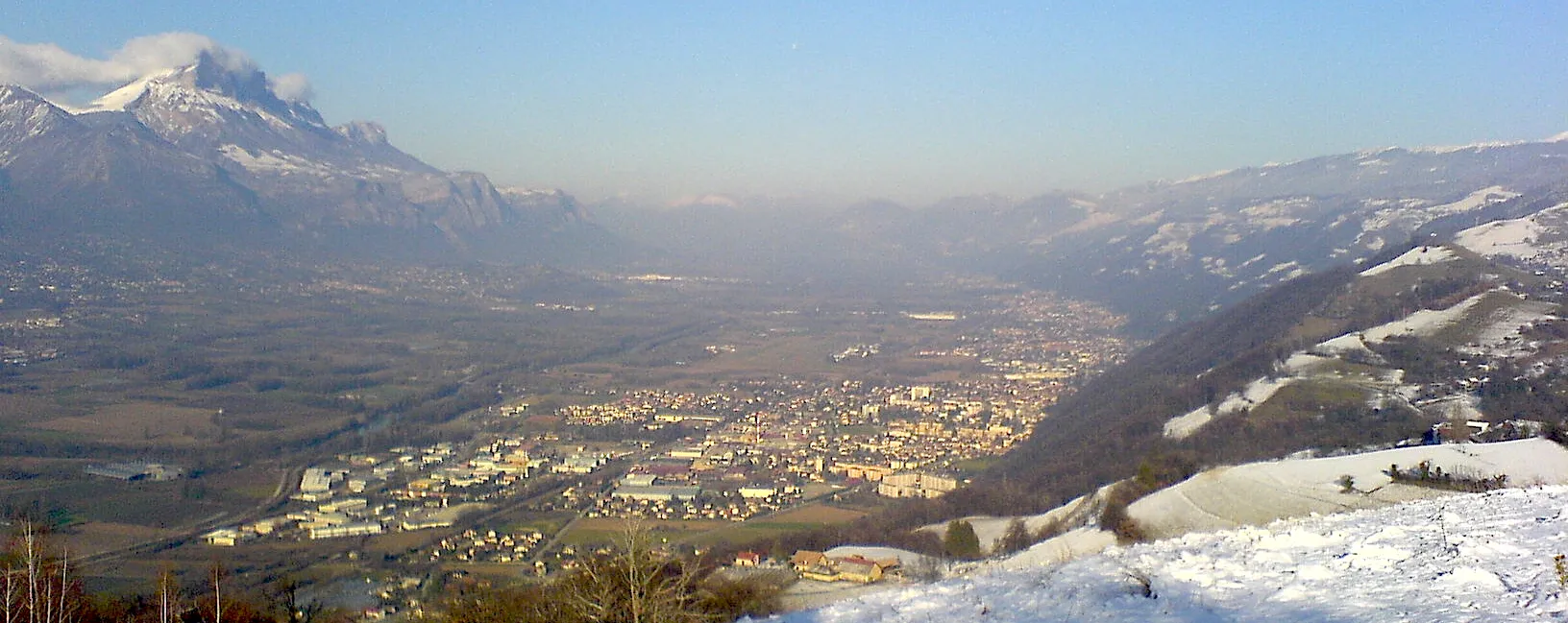
Discover the beauty of the Grésivaudan panorama on this enjoyable gravel route.
Explore the scenic landscapes near Saint-Ismier with this gravel cycling route that covers approximately 55 km with a total ascent of 349 m. The route takes you through the picturesque panoramic viewpoints of Grésivaudan, Le Champ-près-Froges, and Le Cheylas. This relatively easy gravel route is suitable for all fitness levels and offers an opportunity to connect with nature. Take in the breathtaking panorama of Grésivaudan and immerse yourself in the peaceful surroundings. Le Champ-près-Froges offers a charming rural atmosphere and Le Cheylas provides a quiet spot to relax and enjoy the scenic beauty of the region.
Ride through scenic towns and enjoy the beautiful landscapes
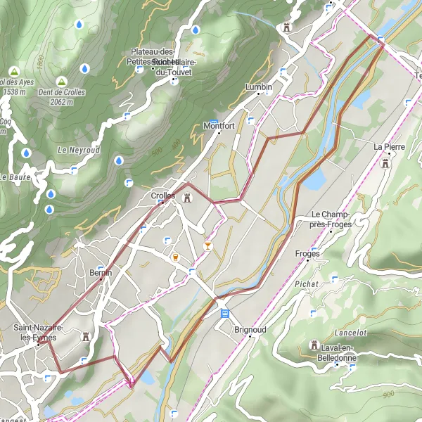
This gravel route takes you through the picturesque towns of Crolles, Froges, and Saint-Nazaire-les-Eymes. Along the way, you'll be treated to stunning views of the surrounding landscapes. It's a relatively short ride with a total distance of 26 kilometers and an ascent of 173 meters. The route is suitable for both road and gravel bikes.
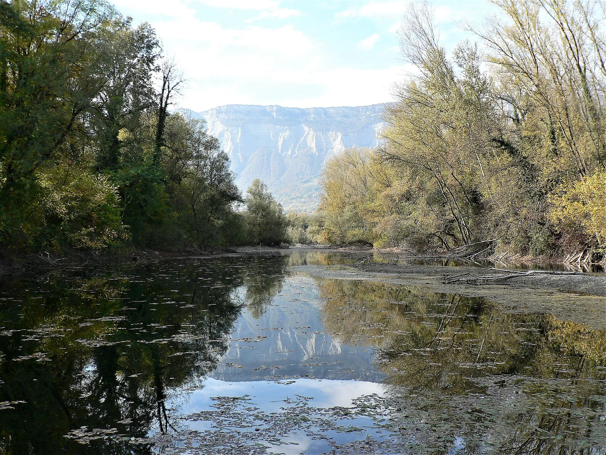
Discover the stunning landscapes of Belledonne mountain range.
The Tour de Belledonne is a challenging cycling route that takes you through the beautiful landscapes of the Belledonne mountain range. With a total ascent of 2867m and a distance of 138km, this route will test the skills and stamina of even the most well-trained amateur cyclists. Starting near Saint-Ismier in Rhône-Alpes, France, the Tour de Belledonne offers breathtaking views and a unique cycling experience.
Vercors Adventure
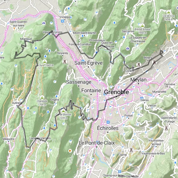
Conquer the Vercors region on this thrilling road cycling route from Saint-Ismier.
Get ready for an adrenaline-fueled adventure in the Vercors region near Saint-Ismier. With challenging climbs and awe-inspiring landscapes, this route is perfect for cycling enthusiasts seeking an ultimate challenge. Experience the sheer beauty of the Vercors mountains and be captivated by the breathtaking views along the way.
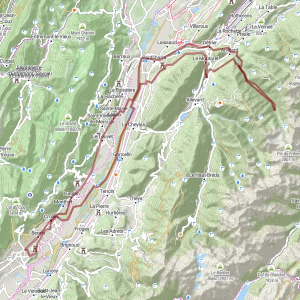
Venture into the mountains on this challenging gravel route
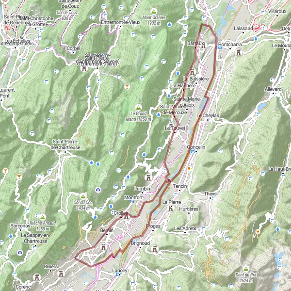
Prepare yourself for a challenging adventure into the mountains with this 97-kilometer gravel route. It will take you through Goncelin, La Chapelle-du-Bard, Mont Pezard, Détrier, Le Touvet, and finally Saint-Nazaire-les-Eymes. With an ascent of 1887 meters, this route is only recommended for experienced riders. Along the way, you'll encounter breathtaking alpine scenery and quaint mountain towns.
Conquer challenging climbs and enjoy breathtaking mountain vistas
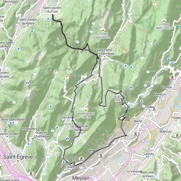
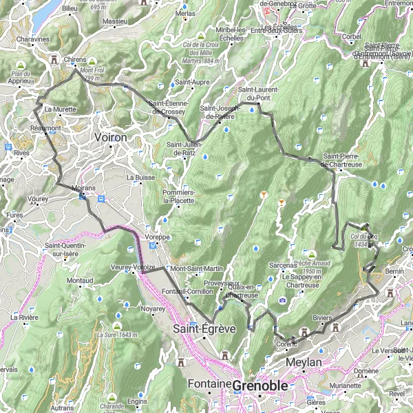
If you're up for a challenging road ride, this 73-kilometer route will take you through some of the most beautiful mountain roads in the area. Starting from Bec Charvet, you'll pass through Porte de l'Enclos, Saint-Laurent-du-Pont, Col de Porte, Sarcenas, and Biviers. With an ascent of 3036 meters, this route is suitable for experienced cyclists. Along the way, you'll be treated to breathtaking mountain vistas and thrilling descents.
Enjoy scenic roads and picturesque towns on this road cycling adventure
This 55-kilometer road route offers a mix of scenic countryside and picturesque towns. Starting from Panorama du Grésivaudan, you'll pass through Le Champ-près-Froges, Goncelin, Le Touvet, and Crolles. With a relatively low ascent of 376 meters, it's a suitable choice for cyclists of varying levels. Along the way, you'll be treated to stunning panoramic views of the Grésivaudan Valley.
Embark on a challenging road cycling expedition to Biviers with stunning views along the way.
This road cycling route starting near Saint-Ismier is a challenging ride covering a distance of 109 km with an ascent of 2911 m. The journey will take you through Biviers, Col de Vence, Fontanil-Cornillon, Bec de l'Échaillon, Réaumont, and Saint-Étienne-de-Crossey. Expect a demanding ride full of rewarding climbs and thrilling descents. Marvel at the scenic landscapes of Biviers and enjoy the tranquility of the charming countryside. Don't miss the opportunity to admire the stunning views from the Col de Vence, which is known for its challenging climb and panoramic vistas.
Cycling routes nearby:


Nearby regions: