Meylan to Chartreuse de Prémol Loop
A road cycling route starting from La Tronche
Embark on a scenic road cycling adventure from Meylan to Chartreuse de Prémol
Map

This road cycling route starting near La Tronche takes you through breathtaking landscapes and iconic sights. With a total ascent of 2082 meters over a distance of 78 kilometers, it offers a challenging yet fulfilling experience. The route highlights include the picturesque town of Chartreuse de Prémol, the scenic Col Luitel, and the charming village of Séchilienne. Overall, this route provides an exhilarating mix of natural beauty and cultural attractions.
road
78 km
2082 m
Tough
Route profile
Highlights on the route
0 km
0 km
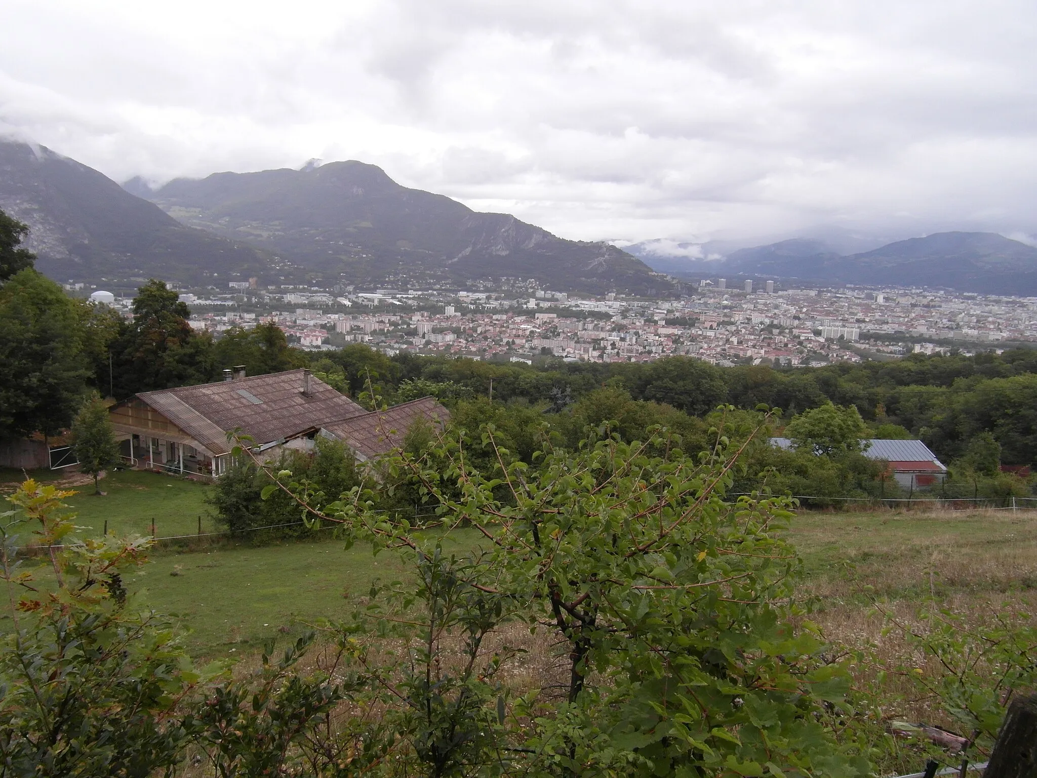
Start: La Tronche Village centerLa Tronche: Cycling paradise in the Rhône-Alpes region of France
La Tronche is a town located in the Rhône-Alpes region of France. From a cyclist's perspective, La Tronche is a great cycling-friendly area. There are several scenic routes and well-maintained roads that are perfect for road and gravel cycling. The nearby mountains offer challenging climbs for more experienced cyclists. Overall, La Tronche is a popular destination for cyclists looking for both leisurely rides and more challenging routes.3 km
3 km
MeylanTownExplore Meylan, a vibrant city known for its charming streets and bustling atmosphere.
7 km
7 km
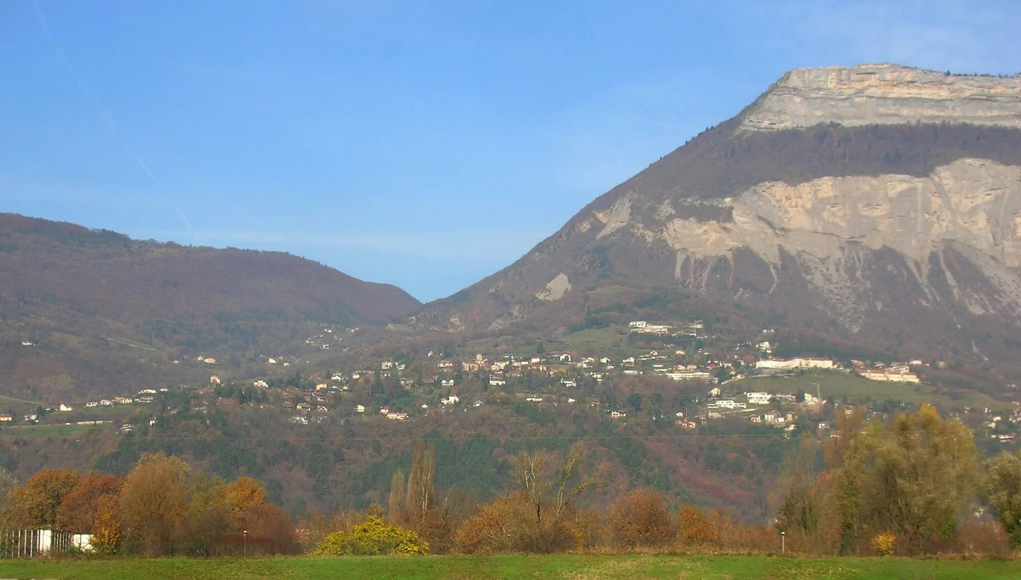
Molard427 mPeakPass through Molard, a small village famed for its stunning views of the surrounding mountains.
23 km
23 km
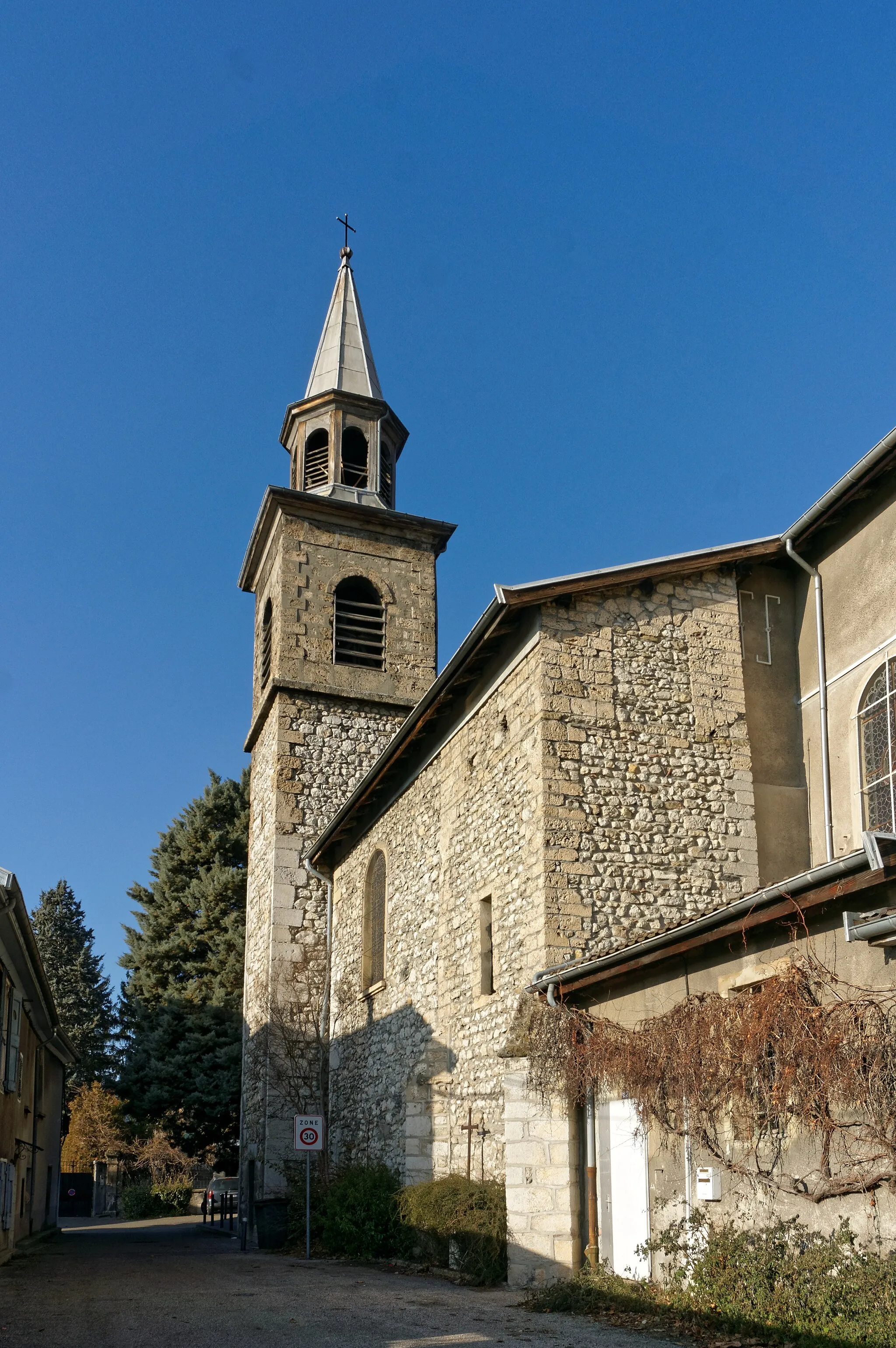
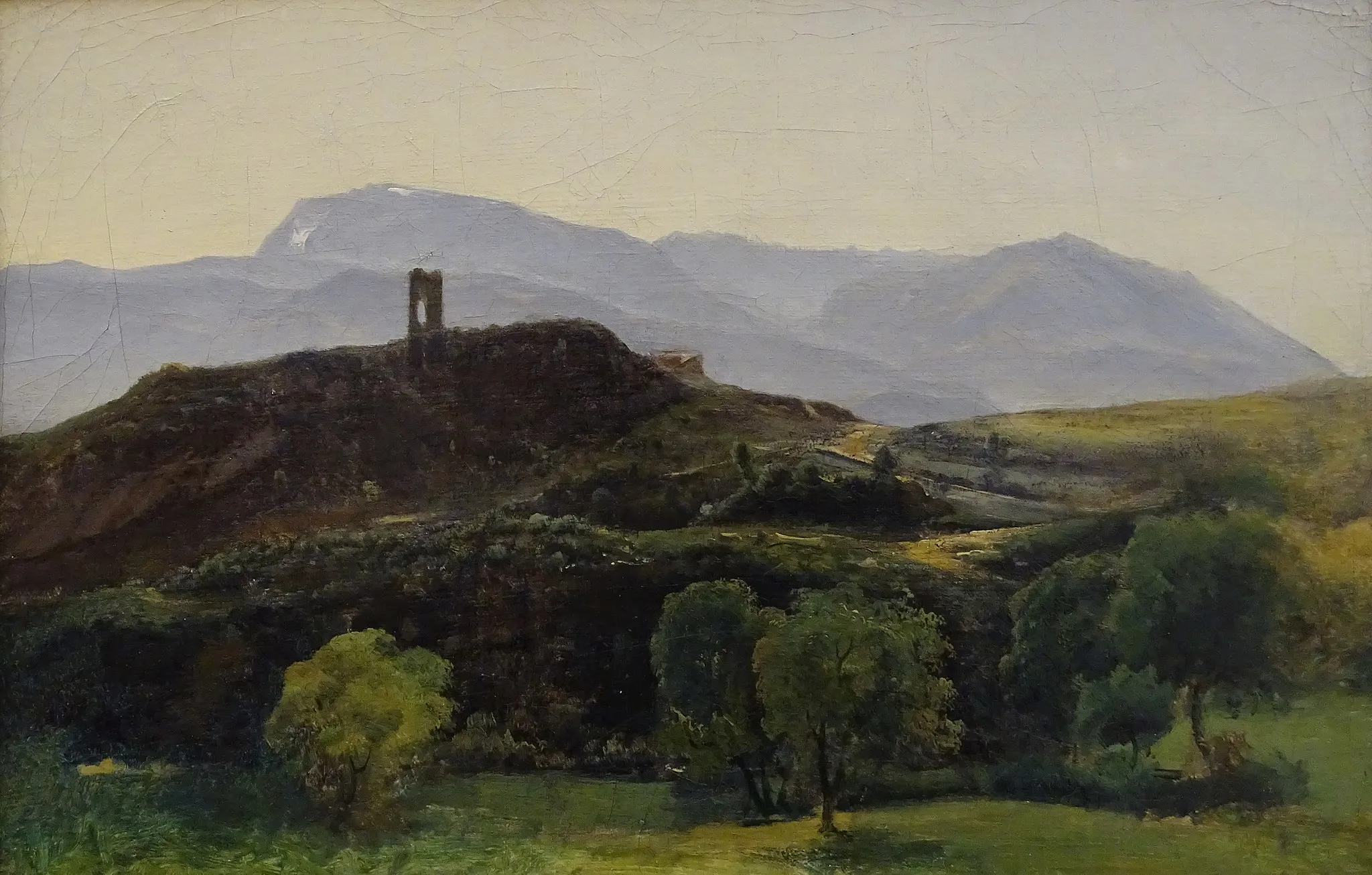
Chartreuse de PrémolCastle RuinsVisit Chartreuse de Prémol, a historic monastery that offers a tranquil escape from the hustle and bustle of the city.
26 km
26 km
Col Luitel1262 mMountain PassTake in the panoramic views as you conquer the challenging Col Luitel.
36 km
36 km
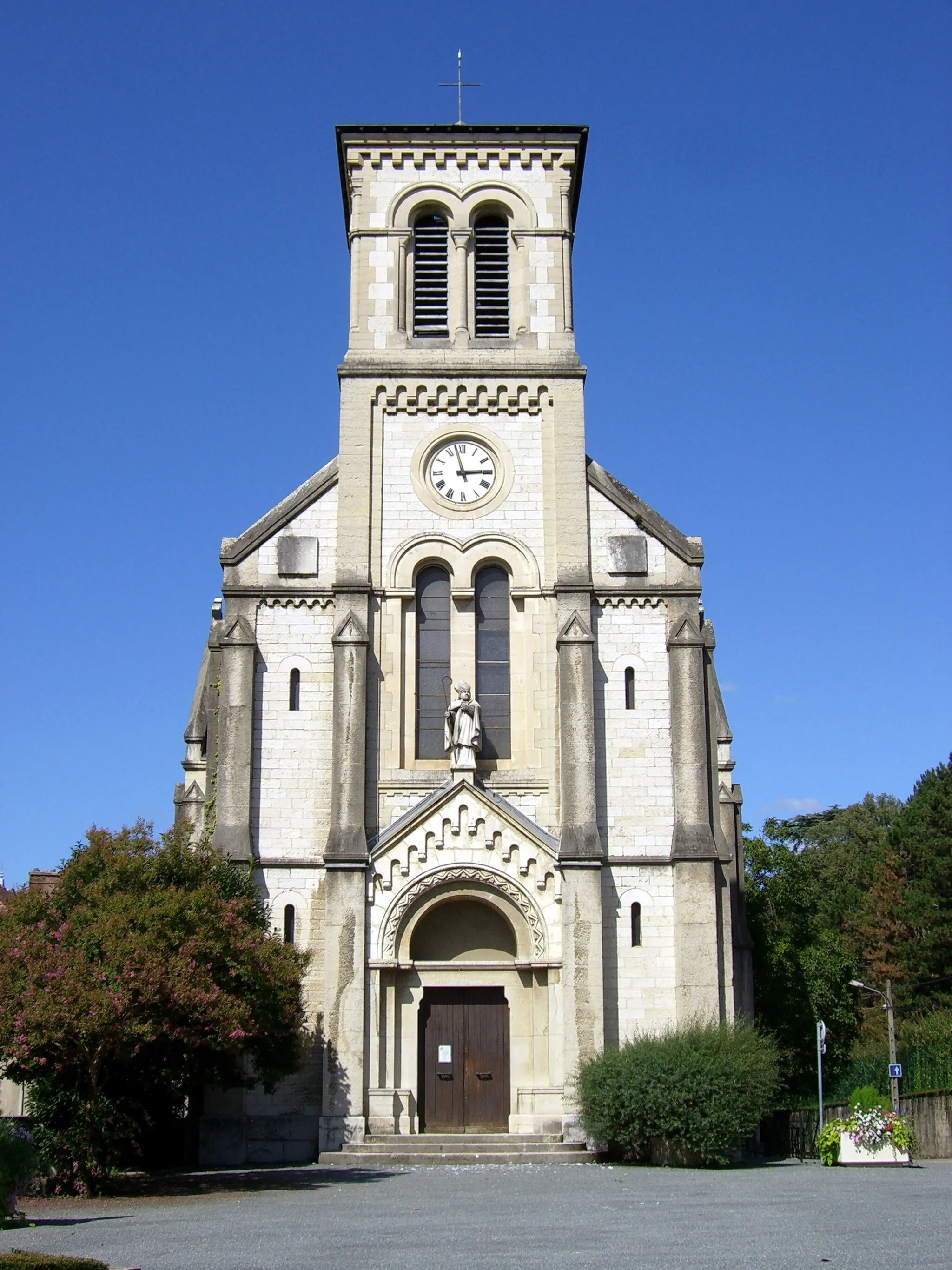
SéchilienneVillageCycle through Séchilienne, a picturesque village surrounded by stunning natural landscapes.
36 km
36 km
RelaisViewpointStop at Relais for a well-deserved break and enjoy their delicious local cuisine.
57 km
57 km
Moutet468 mPeakPass through Moutet, a small hamlet known for its tranquil atmosphere and beautiful scenery.
59 km
59 km
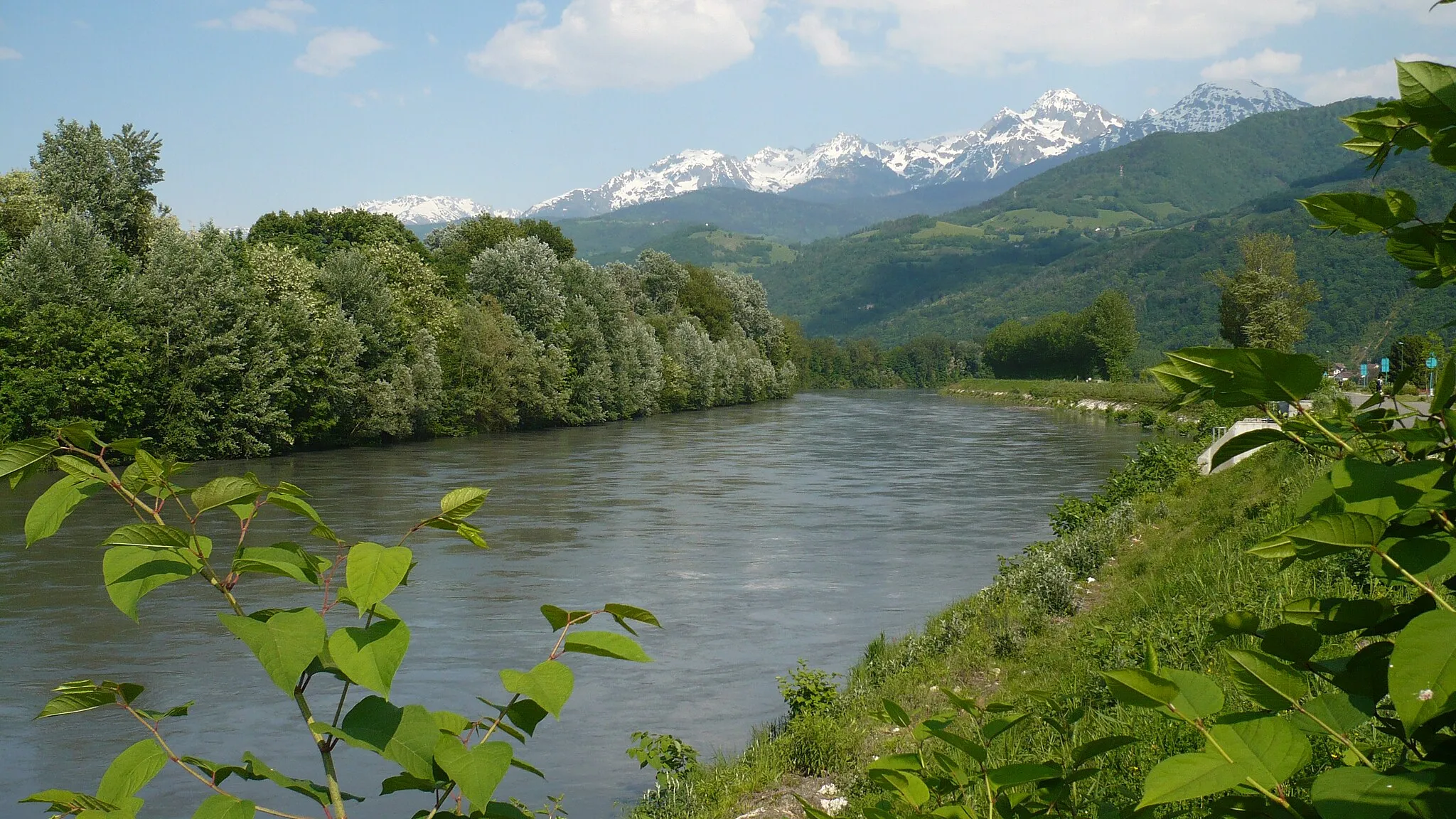
Champ-sur-DracVillageExplore Champ-sur-Drac and discover its rich history and charming architectural heritage.
69 km
69 km
ÉchirollesTownCycle through Échirolles, a bustling town famous for its vibrant cultural scene and lively markets.
77 km
77 km
Mont Jalla635 mPeakReach Mont Jalla and enjoy panoramic views of Grenoble and the surrounding mountains.
78 km
78 km
Finish: La Tronche Village centerLa Tronche: Cycling paradise in the Rhône-Alpes region of France
Cycling routes from La Tronche:
Grenoble Adventure Grenoble Gravel Explorer La Tronche to Saint-Martin-d'Hères Loop Gravel Adventure to Le Sappey-en-Chartreuse The Epic Alps Challenge Gravel Tour through Villard-Bonnot and Froges Challenging Gravel Ride to Corenc Mont Jalla Explorer The Chartreuse Challenge Meylan to Chartreuse de Prémol Loop La Tronche Gravel Adventure La Tronche Gravel Challenge
Cycling routes nearby: