The Chartreuse Challenge
A road cycling route starting from La Tronche
Experience the beauty and challenge of the legendary Chartreuse Mountains.
Map
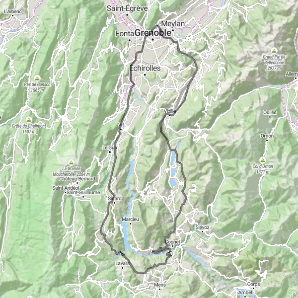
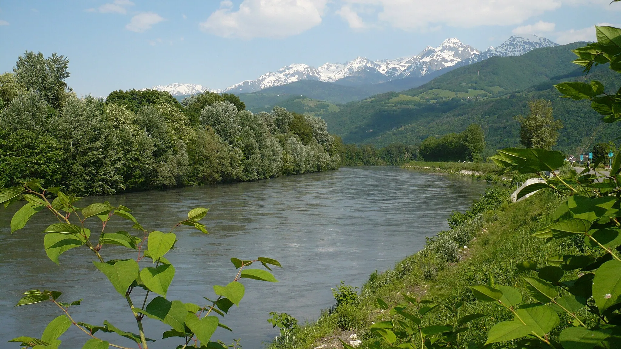
Embark on a journey through picturesque landscapes and challenging mountain roads as you explore the Chartreuse Mountains. With a total distance of 123 km and an ascent of 2,239 m, this route is sure to test your endurance. Enjoy highlights such as the historic town of Vizille, the stunning Col de Cornillon, and the majestic Mont Jalla. The route is suitable for road bikes.
road
123 km
2239 m
Tough
Route profile
Highlights on the route
0 km
0 km
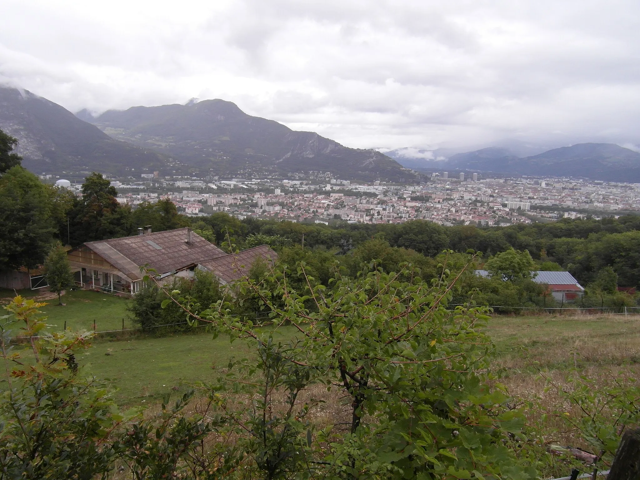
Start: La Tronche Village centerLa Tronche: Cycling paradise in the Rhône-Alpes region of France
La Tronche is a town located in the Rhône-Alpes region of France. From a cyclist's perspective, La Tronche is a great cycling-friendly area. There are several scenic routes and well-maintained roads that are perfect for road and gravel cycling. The nearby mountains offer challenging climbs for more experienced cyclists. Overall, La Tronche is a popular destination for cyclists looking for both leisurely rides and more challenging routes.3 km
3 km
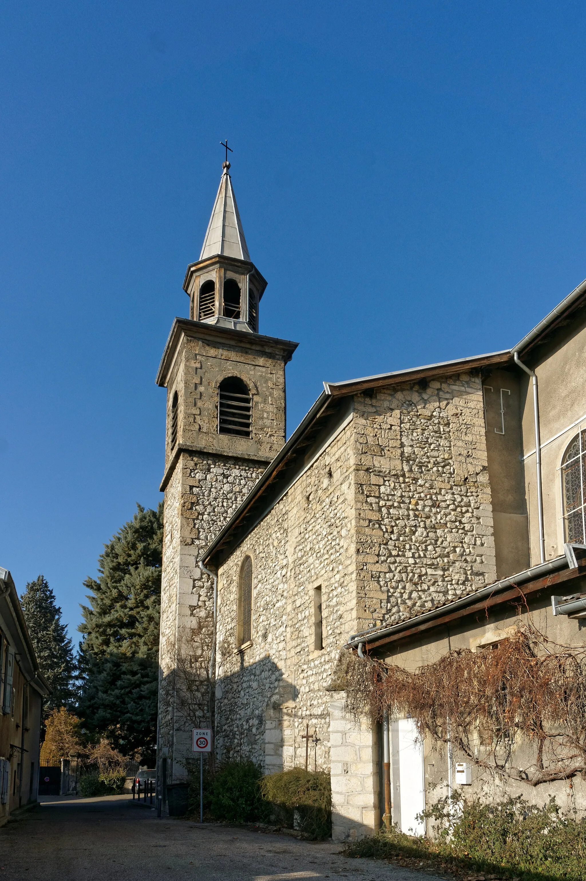
Saint-Martin-d'HèresTownLocated in the charming town of Saint-Martin-d'Hères, this highlight offers a quaint atmosphere and a perfect spot for a short break during your ride.
7 km
7 km
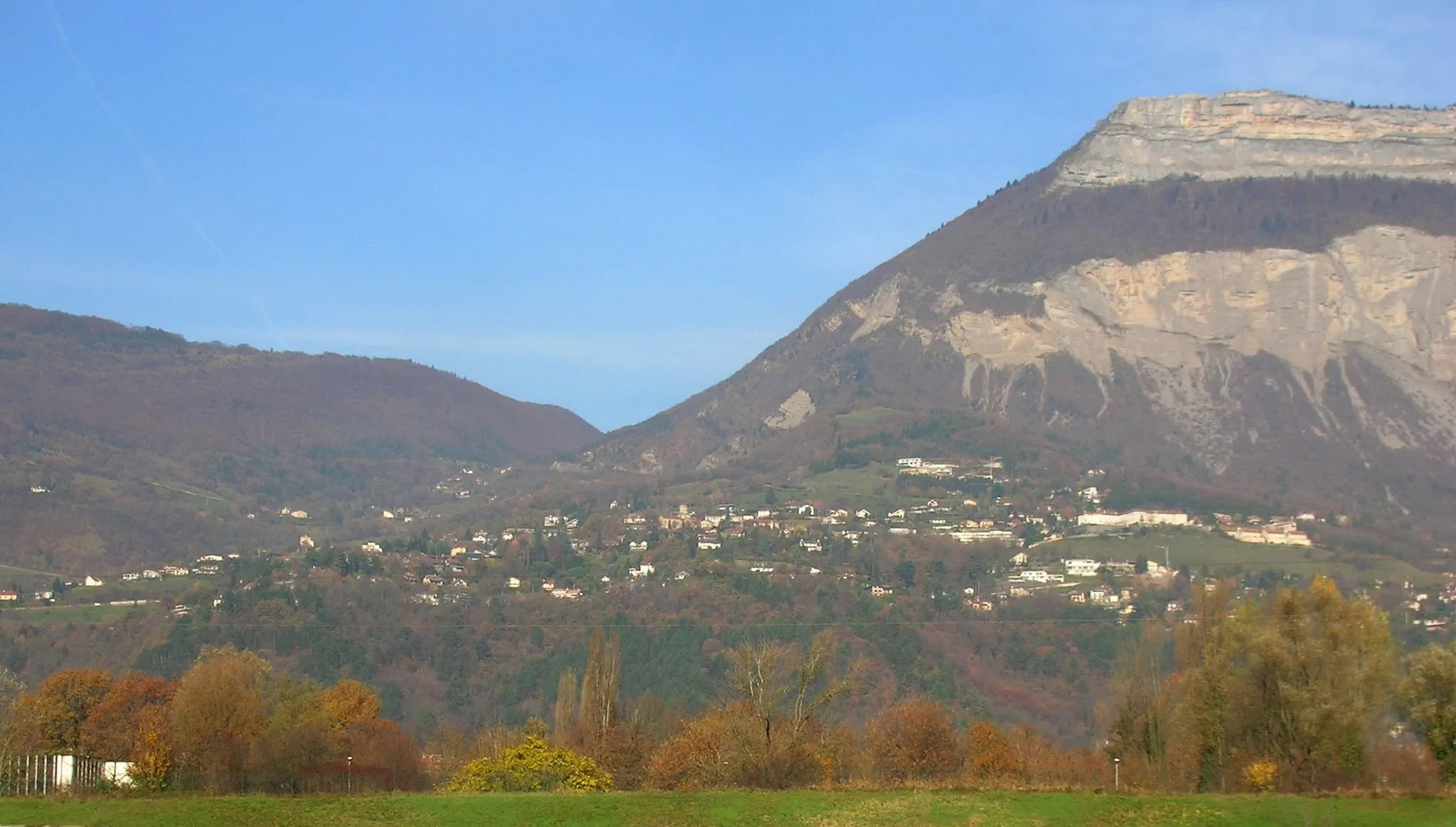
Molard427 mPeakDiscover the hidden gem of Molard, a scenic village with stunning views and a rich cultural heritage.
22 km
22 km
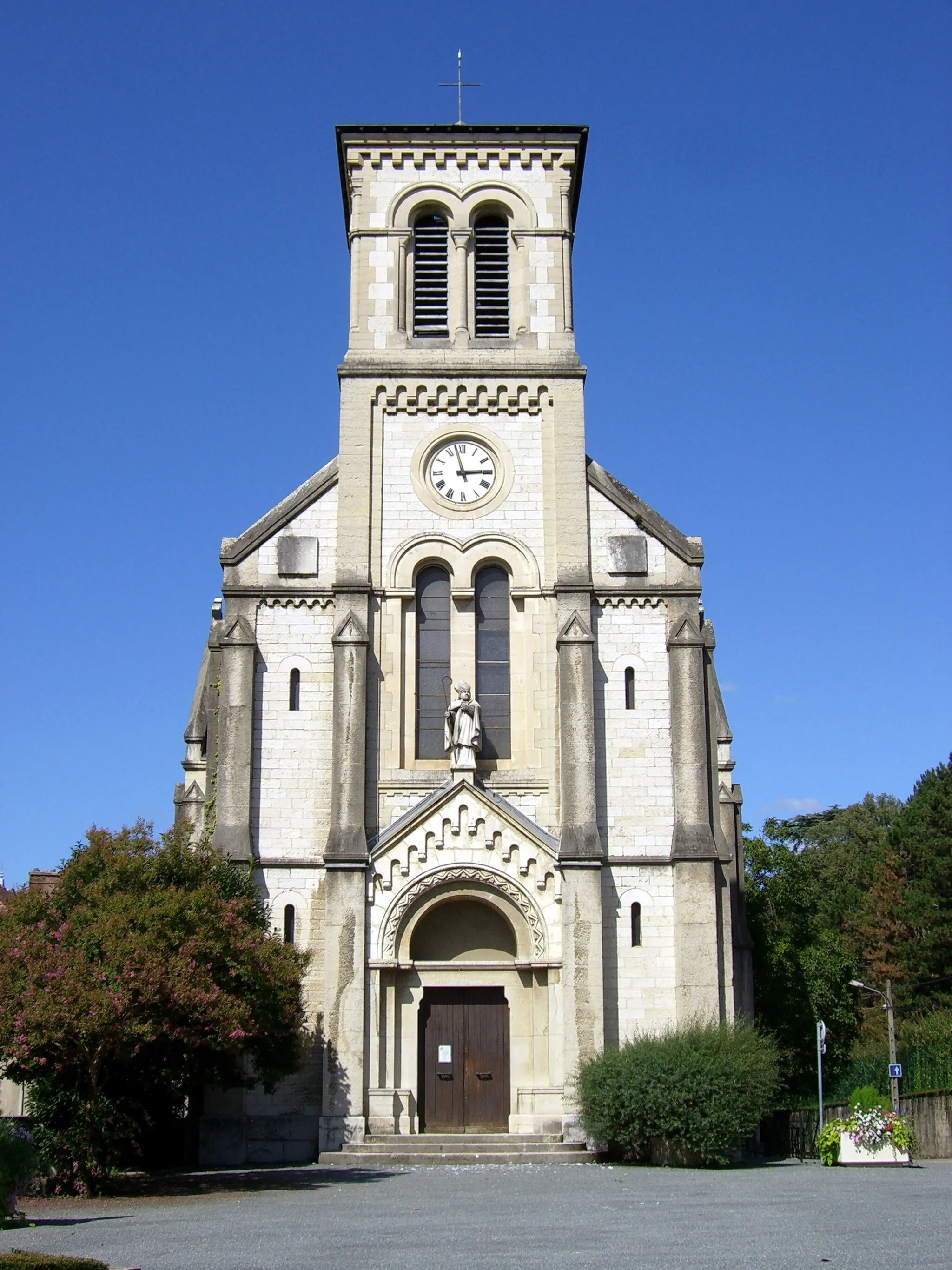
VizilleVillagePass through the ancient town of Vizille, known for its beautiful castle and extensive gardens.
32 km
32 km
Canier1221 mPeakEnjoy the natural beauty of Canier, a small village surrounded by mountains and forests.
46 km
46 km
Le Cimon1209 mPeakMarvel at the breathtaking views from Le Cimon, a mountain peak offering a panoramic vista of the region.
47 km
47 km
La MureVillageCycle through the historic town of La Mure, known for its mining heritage and picturesque streets.
55 km
55 km
Saint-AreyVillageExperience the tranquility of Saint-Arey, a charming village nestled amidst scenic hills and green landscapes.
69 km
69 km
Col de Cornillon885 mMountain PassConquer the challenging Col de Cornillon, a famous cycling climb that offers stunning views at its summit.
83 km
83 km
Col du Fau899 mMountain PassPush your limits and reach the top of Col du Fau, a rewarding climb with incredible vistas of the surrounding mountains.
84 km
84 km
Monestier-de-ClermontVillageImmerse yourself in the beauty of Monestier-de-Clermont, a picturesque village with charming architecture and idyllic landscapes.
106 km
106 km
Varces-Allières-et-RissetVillageStop by Varces-Allières-et-Risset, a peaceful village surrounded by nature and known for its historic sites.
108 km
108 km
Montagne de Grand Rochefort409 mPeak ViewpointDiscover the natural beauty of Montagne de Grand Rochefort, a mountain range offering breathtaking views and picturesque trails.
121 km
121 km
Mont Jalla635 mPeakAscend to the summit of Mont Jalla and be rewarded with panoramic vistas of the surrounding mountains and valleys.
123 km
123 km
La TroncheVillageStart and finish your journey in La Tronche, a charming town nestled at the foot of the Chartreuse Mountains.
123 km
123 km
Finish: La Tronche Village centerLa Tronche: Cycling paradise in the Rhône-Alpes region of France
Cycling routes from La Tronche:
Grenoble Adventure Grenoble Gravel Explorer La Tronche to Saint-Martin-d'Hères Loop Gravel Adventure to Le Sappey-en-Chartreuse The Epic Alps Challenge Gravel Tour through Villard-Bonnot and Froges Challenging Gravel Ride to Corenc Mont Jalla Explorer The Chartreuse Challenge Meylan to Chartreuse de Prémol Loop La Tronche Gravel Adventure La Tronche Gravel Challenge
Cycling routes nearby: