Mont Jalla Explorer
A road cycling route starting from La Tronche
Discover the natural beauty of Mont Jalla and the scenic surroundings of Grenoble.
Map
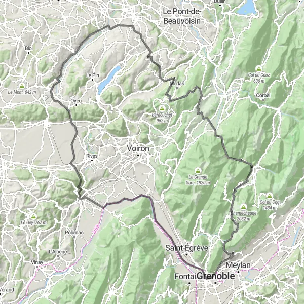
Embark on a thrilling cycling adventure that takes you from Grenoble to the majestic Mont Jalla and back. This 133 km route with an ascent of 2,663 m offers breathtaking views, charming villages, and challenging climbs. Highlights include the iconic Grenoble city, the panoramic views from Mont Jalla, and the tranquil village of Beaucroissant. The route is suitable for road bikes.
road
133 km
2663 m
Savage
Route profile
Highlights on the route
0 km
0 km
Start: Corenc Village centerLa Tronche: Cycling paradise in the Rhône-Alpes region of France
La Tronche is a town located in the Rhône-Alpes region of France. From a cyclist's perspective, La Tronche is a great cycling-friendly area. There are several scenic routes and well-maintained roads that are perfect for road and gravel cycling. The nearby mountains offer challenging climbs for more experienced cyclists. Overall, La Tronche is a popular destination for cyclists looking for both leisurely rides and more challenging routes.4 km
4 km
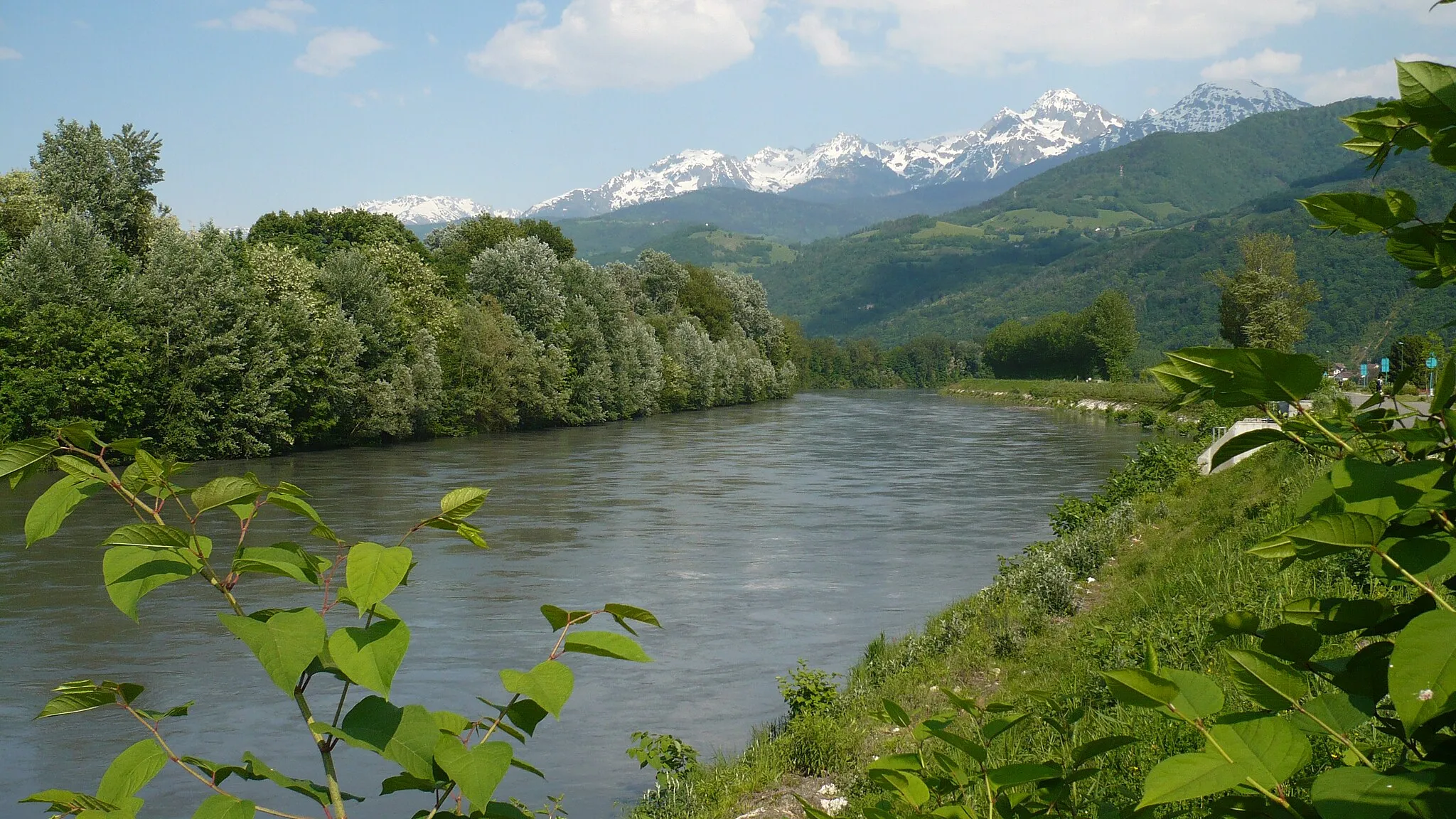
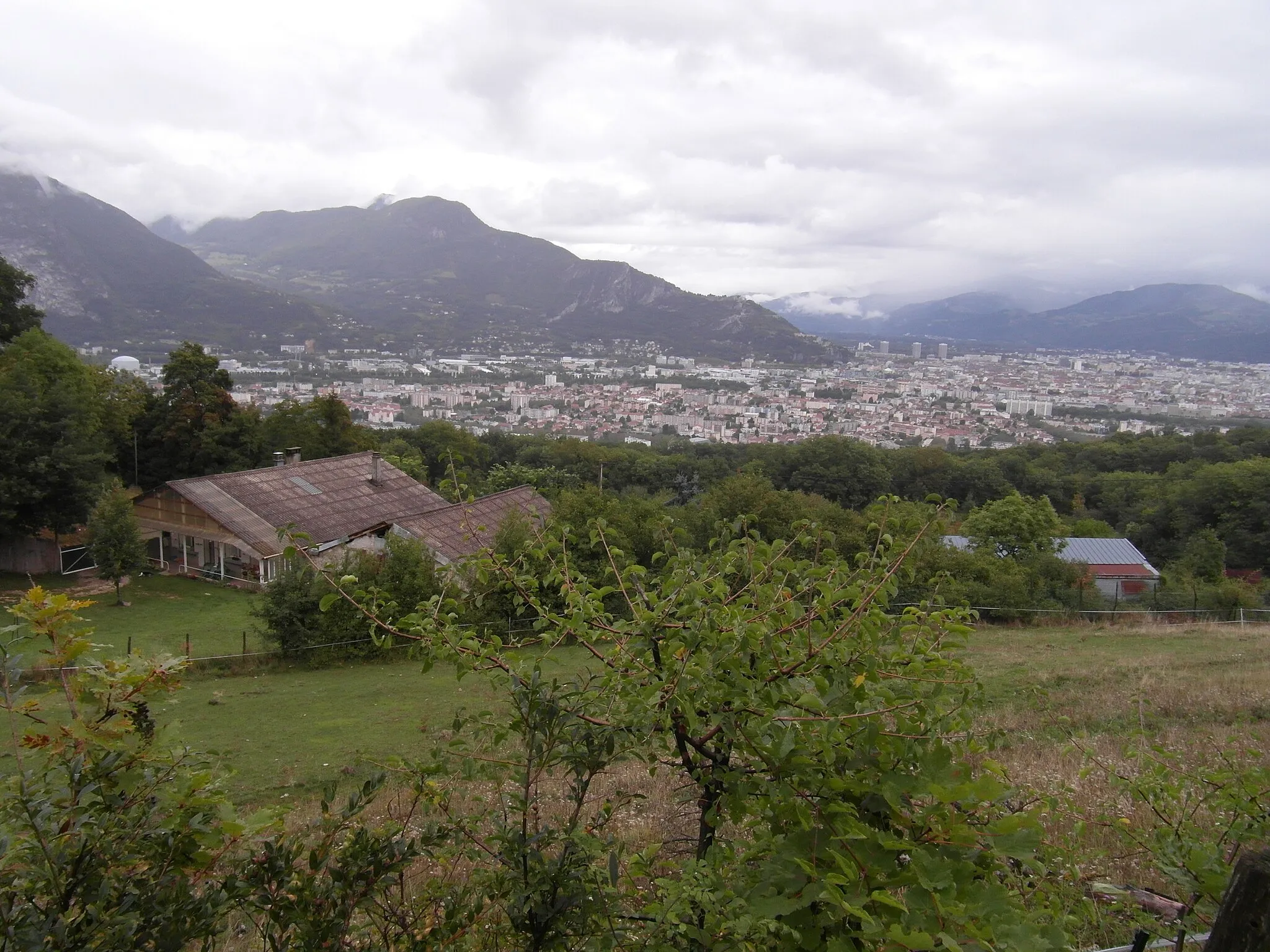
GrenobleCityExplore Grenoble, a lively city known for its vibrant culture and stunning backdrop of mountainous landscapes.
6 km
6 km
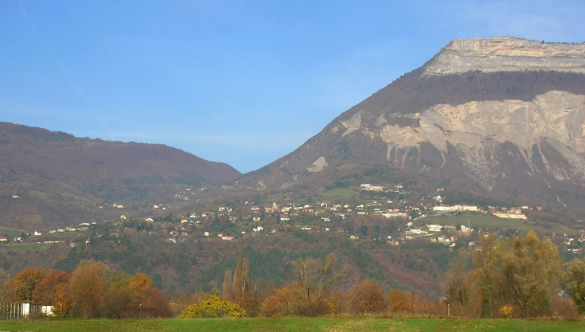
Mont Jalla635 mPeakAscend to the summit of Mont Jalla and be rewarded with breathtaking panoramic views of Grenoble and the surrounding Alps.
17 km
17 km
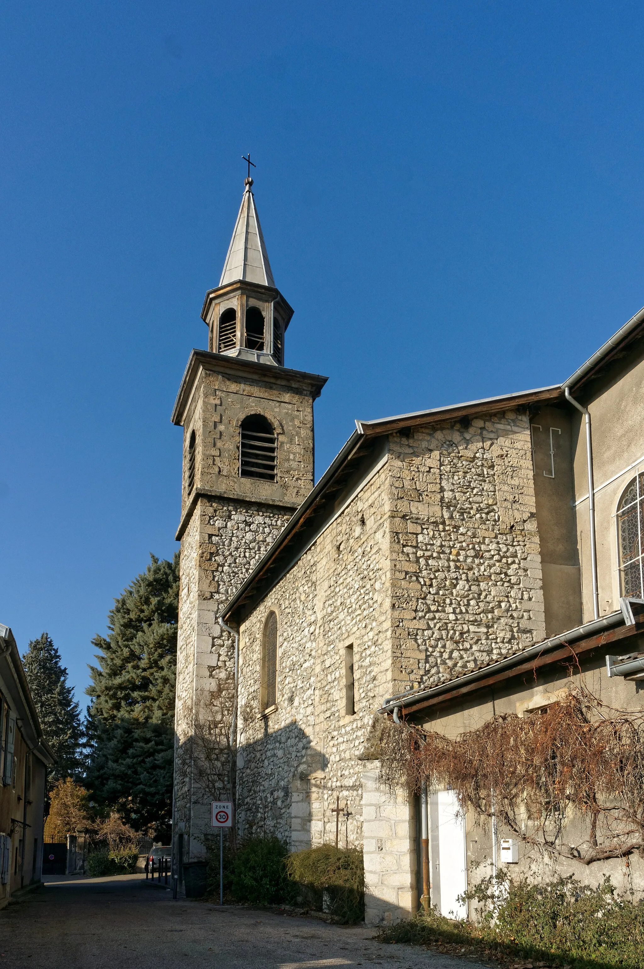
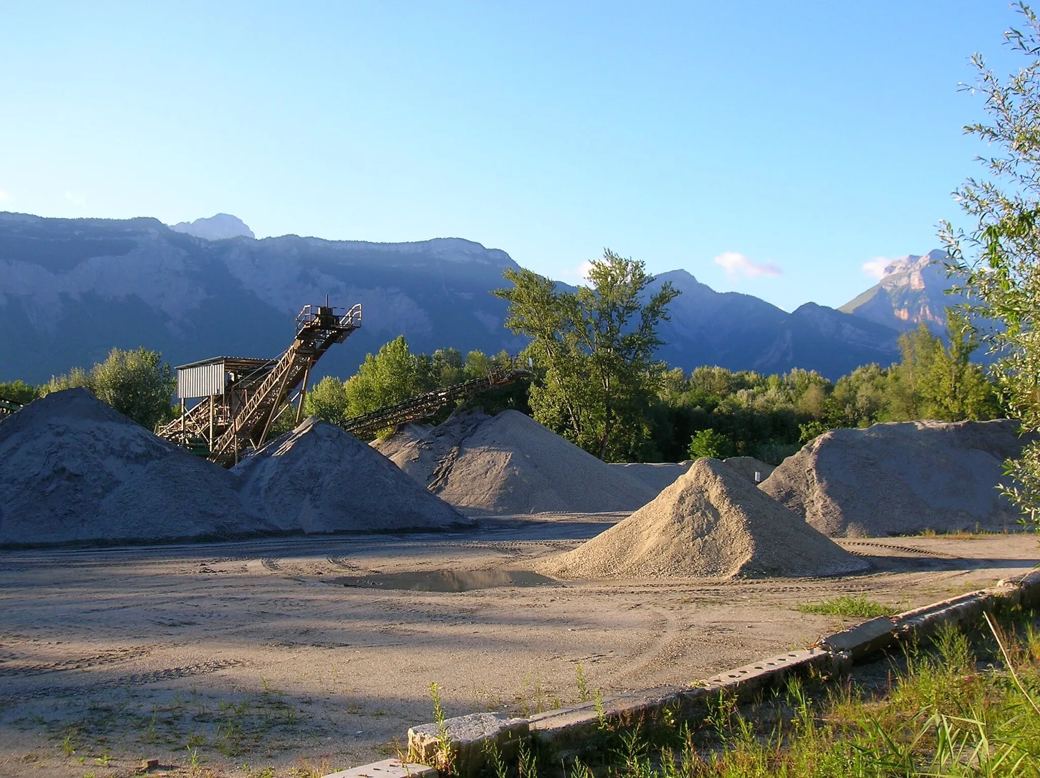
Veurey-VoroizeVillagePass through the peaceful village of Veurey-Voroize, surrounded by green hills and picturesque vineyards.
22 km
22 km
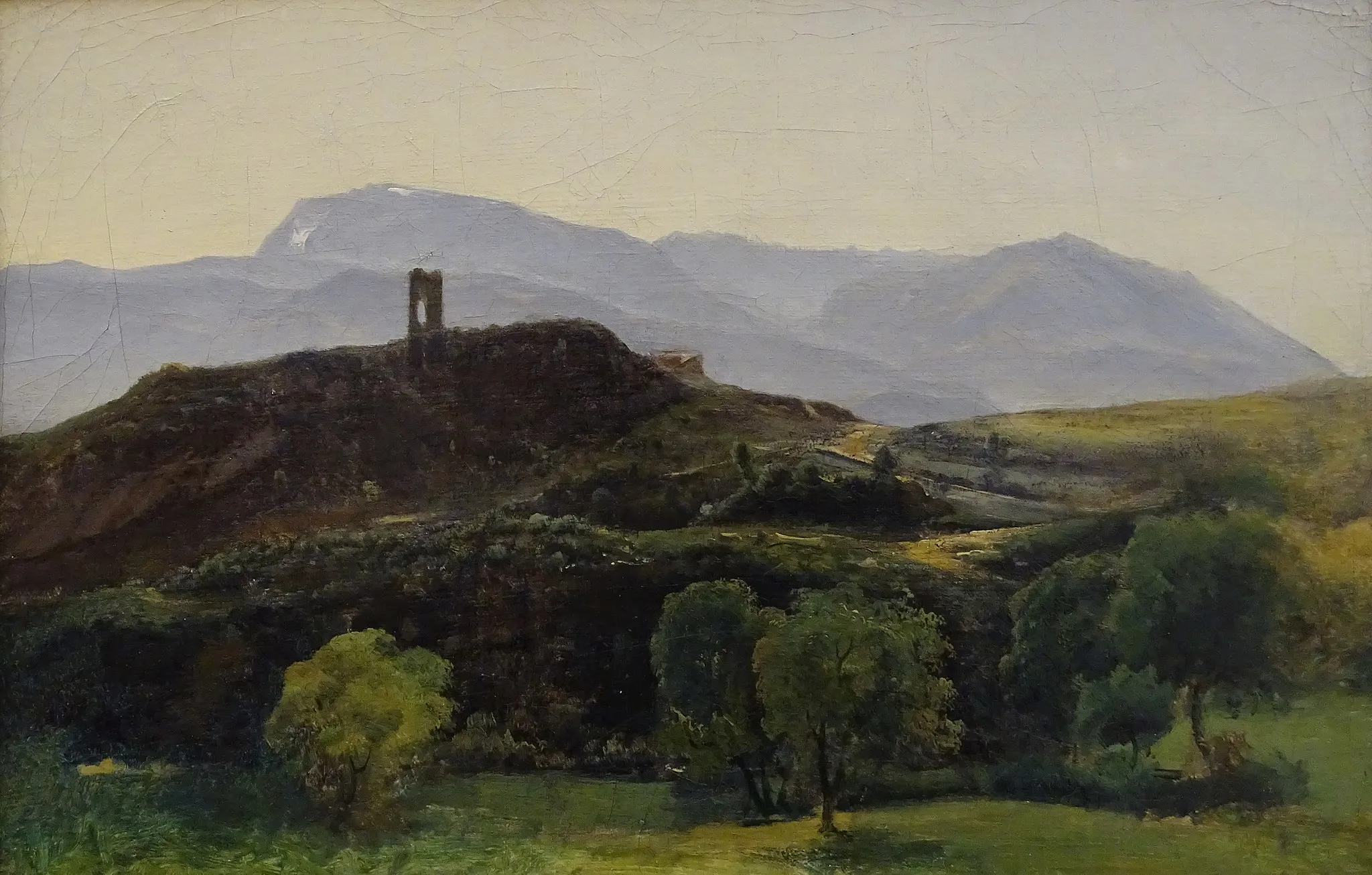
Bec de l'Échaillon622 mPeak ViewpointEnjoy the beauty of Bec de l'Échaillon, a stunning viewpoint that offers sweeping vistas of the Vercors mountains.
38 km
38 km
BeaucroissantVillageVisit Beaucroissant, a small village known for its bi-annual fair, dating back to the 16th century.
56 km
56 km
BlandinVillageExperience the charm of Blandin, a picturesque wooden village reminiscent of traditional alpine architecture.
70 km
70 km
CharancieuVillagePass through Charancieu, a quiet village nestled amidst rolling hills and scenic landscapes.
85 km
85 km
MerlasVillageDiscover the beauty of Merlas, a quaint village surrounded by forests and natural wonders.
91 km
91 km
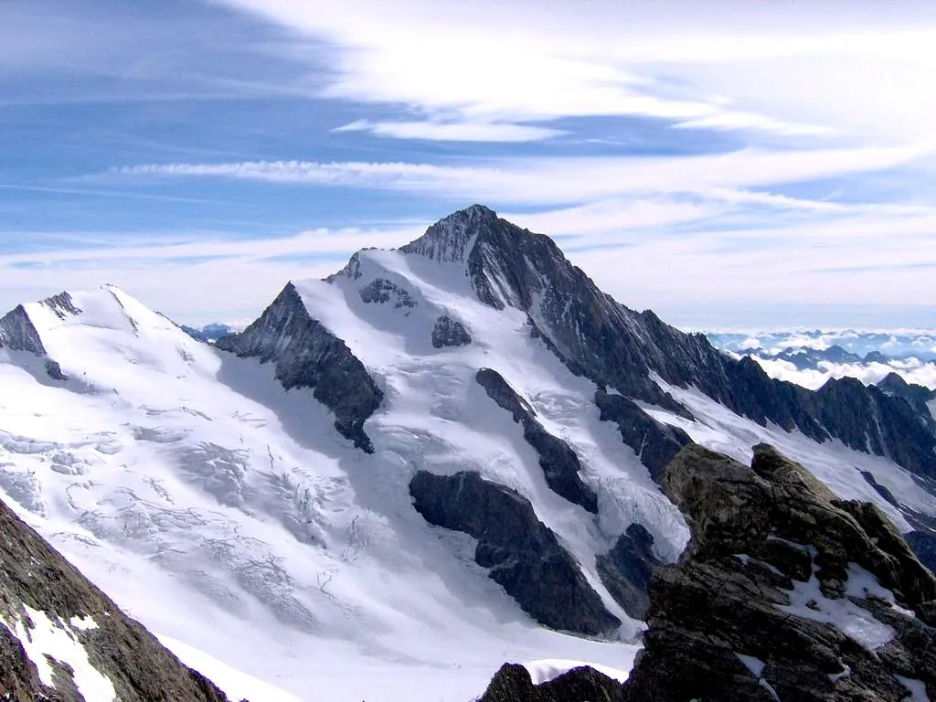
Col de la Croix des Mille Martyrs884 mMountain PassConquer the challenging Col de la Croix des Mille Martyrs, a favorite among cyclists due to its stunning views and steep gradients.
103 km
103 km
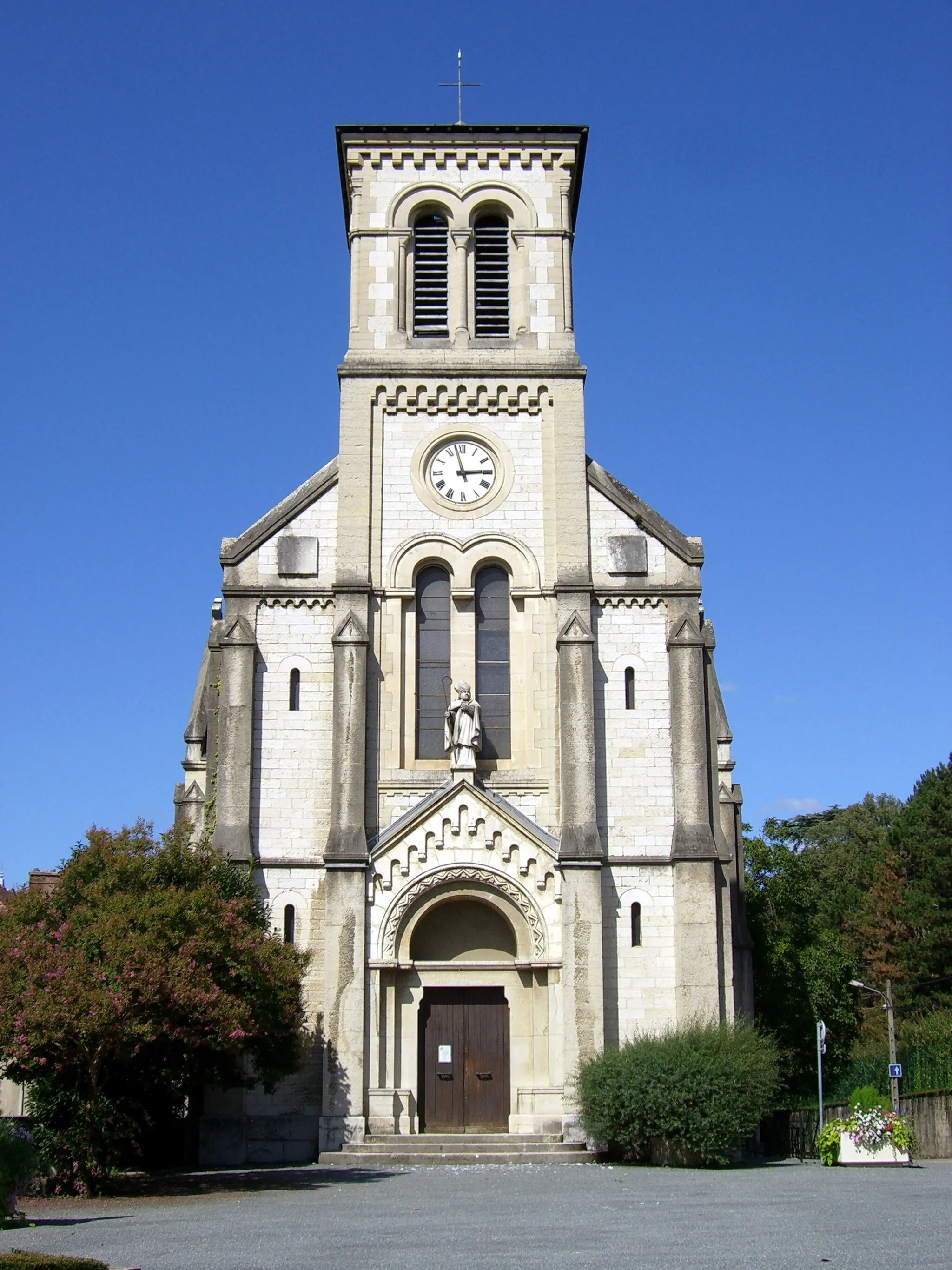
Saint-Laurent-du-PontVillagePass through the charming town of Saint-Laurent-du-Pont and admire its well-preserved historic buildings.
112 km
112 km
Porte de l'EnclosViewpointVisit Porte de l'Enclos, a historic gateway to the town of Saint-Pierre-de-Chartreuse, known for its picturesque medieval streets.
121 km
121 km
Col de Porte1326 mMountain PassConquer the challenging Col de Porte, a favorite among cyclists for its challenging gradients and rewarding views.
126 km
126 km
Le Sappey-en-ChartreuseVillagePass through Le Sappey-en-Chartreuse, a traditional mountain village offering stunning views of the Grenoble valley.
133 km
133 km
Finish: Corenc Village centerLa Tronche: Cycling paradise in the Rhône-Alpes region of France
Cycling routes from La Tronche:
Grenoble Adventure Grenoble Gravel Explorer La Tronche to Saint-Martin-d'Hères Loop Gravel Adventure to Le Sappey-en-Chartreuse The Epic Alps Challenge Gravel Tour through Villard-Bonnot and Froges Challenging Gravel Ride to Corenc Mont Jalla Explorer The Chartreuse Challenge Meylan to Chartreuse de Prémol Loop La Tronche Gravel Adventure La Tronche Gravel Challenge
Cycling routes nearby: