Grenoble Gravel Explorer
A gravel cycling route starting from La Tronche
Embark on a gravel adventure exploring the outskirts of Grenoble.
Map

Escape the paved roads and explore the gravel trails surrounding Grenoble on this exciting 60 km route with an ascent of 1,282 m. Highlights include the breathtaking views from Terrasse des Géologues, the picturesque village of Engins, and a stunning viewpoint along the way. Get ready for a thrilling and adventurous ride on this gravel cycling route.
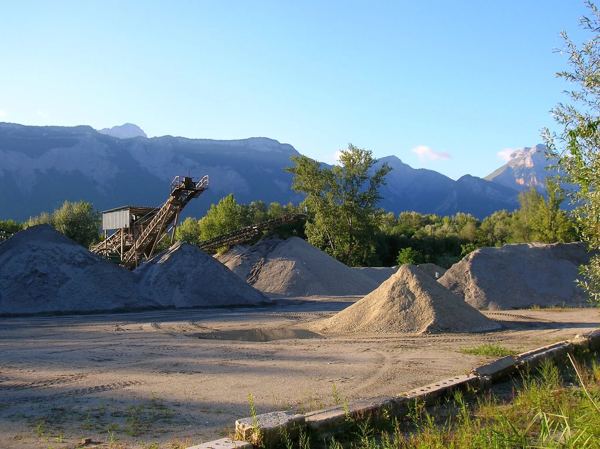
gravel
60 km
1282 m
Tough
Route profile
Highlights on the route
0 km
0 km
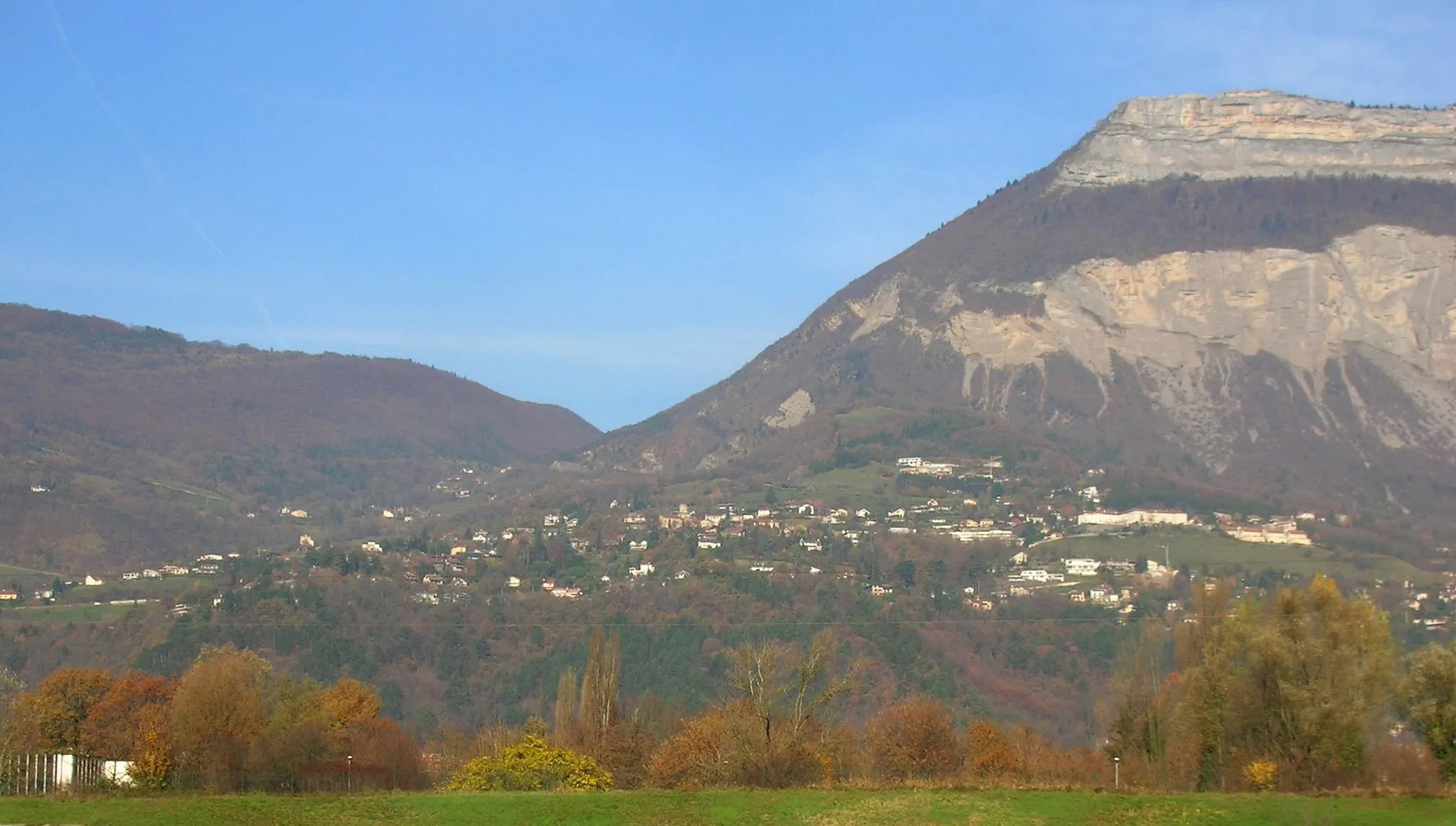
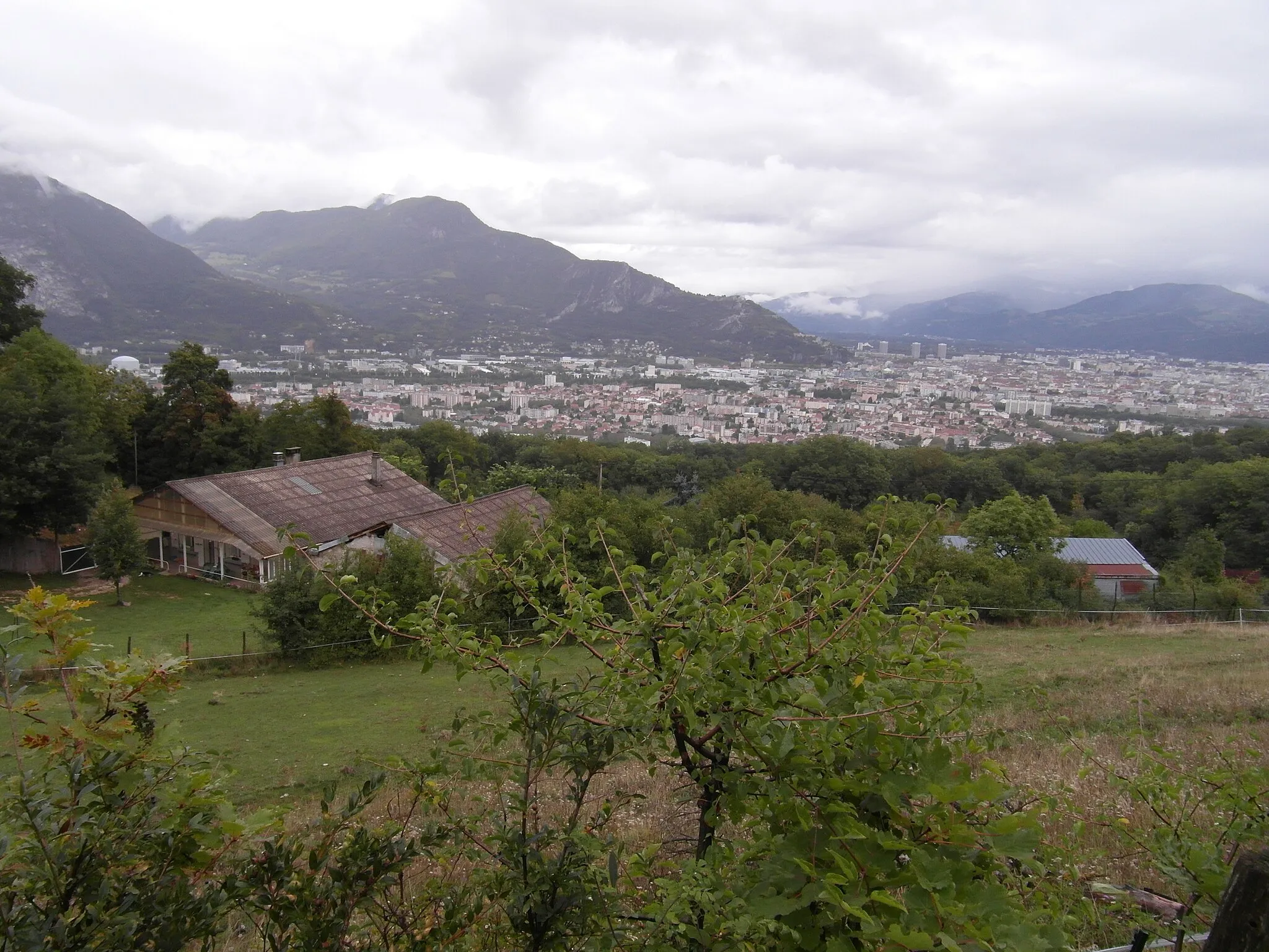
Start: La Tronche Village centerLa Tronche: Cycling paradise in the Rhône-Alpes region of France
La Tronche is a town located in the Rhône-Alpes region of France. From a cyclist's perspective, La Tronche is a great cycling-friendly area. There are several scenic routes and well-maintained roads that are perfect for road and gravel cycling. The nearby mountains offer challenging climbs for more experienced cyclists. Overall, La Tronche is a popular destination for cyclists looking for both leisurely rides and more challenging routes.0 km
0 km
La TroncheVillageStart your journey in La Tronche, a picturesque town located at the foot of the Chartreuse Mountains.
2 km
2 km
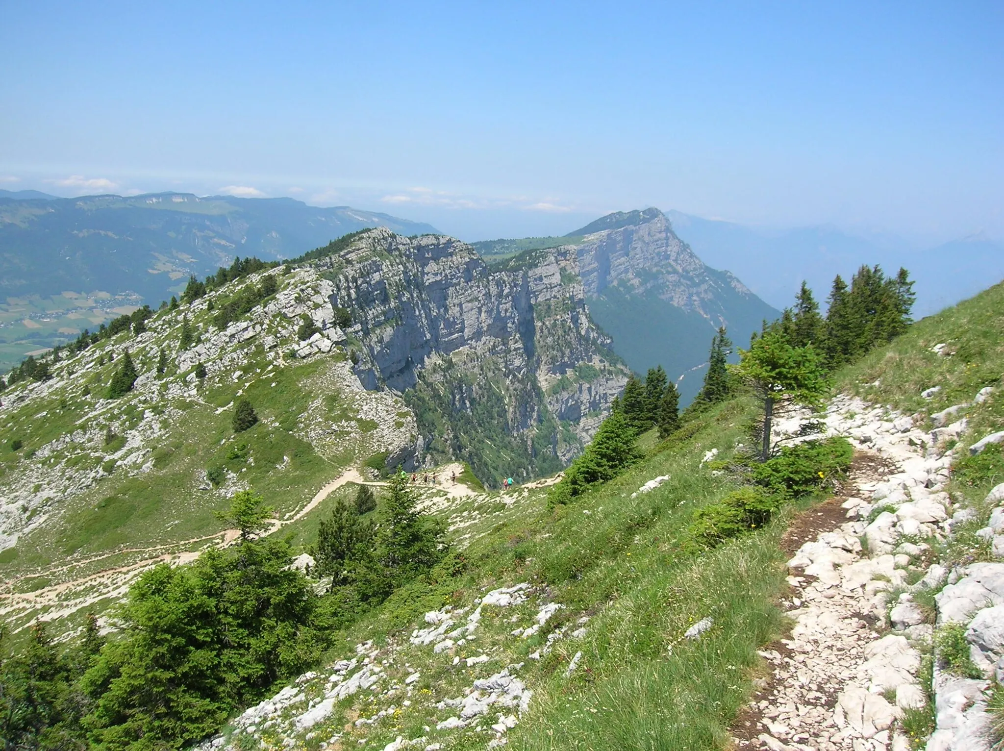
Terrasse des GéologuesViewpointMarvel at the beauty of Terrasse des Géologues, a viewpoint offering breathtaking panoramas of the surrounding landscapes.
17 km
17 km
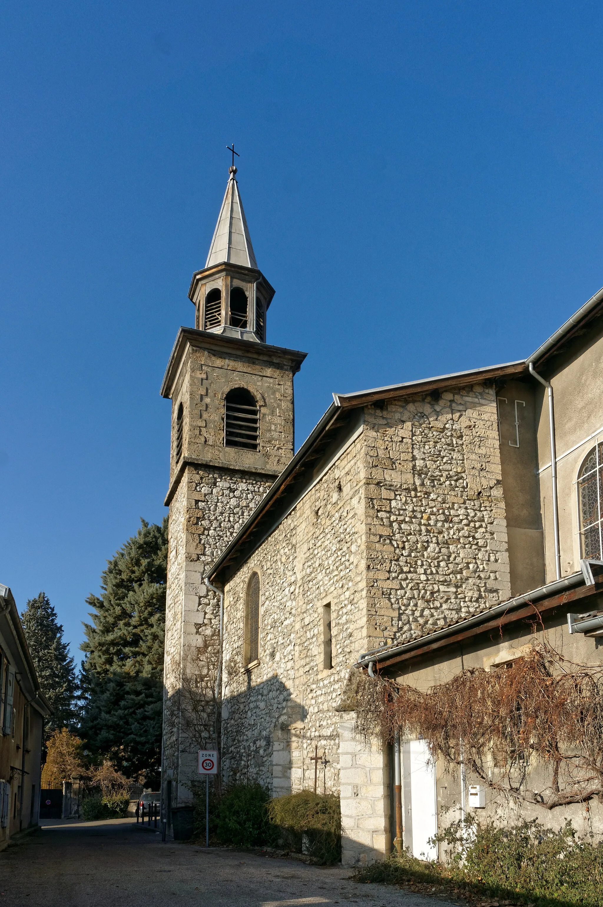
EnginsVillagePass through Engins, a charming village known for its picturesque streets and traditional alpine architecture.
19 km
19 km
viewViewpointTake a moment to enjoy the stunning views along the route, allowing you to immerse yourself in the natural beauty of the region.
30 km
30 km
Point de vue CornafionViewpointStop by Point de vue Cornafion, a scenic viewpoint that offers breathtaking vistas of the surrounding mountains and valleys.
36 km
36 km
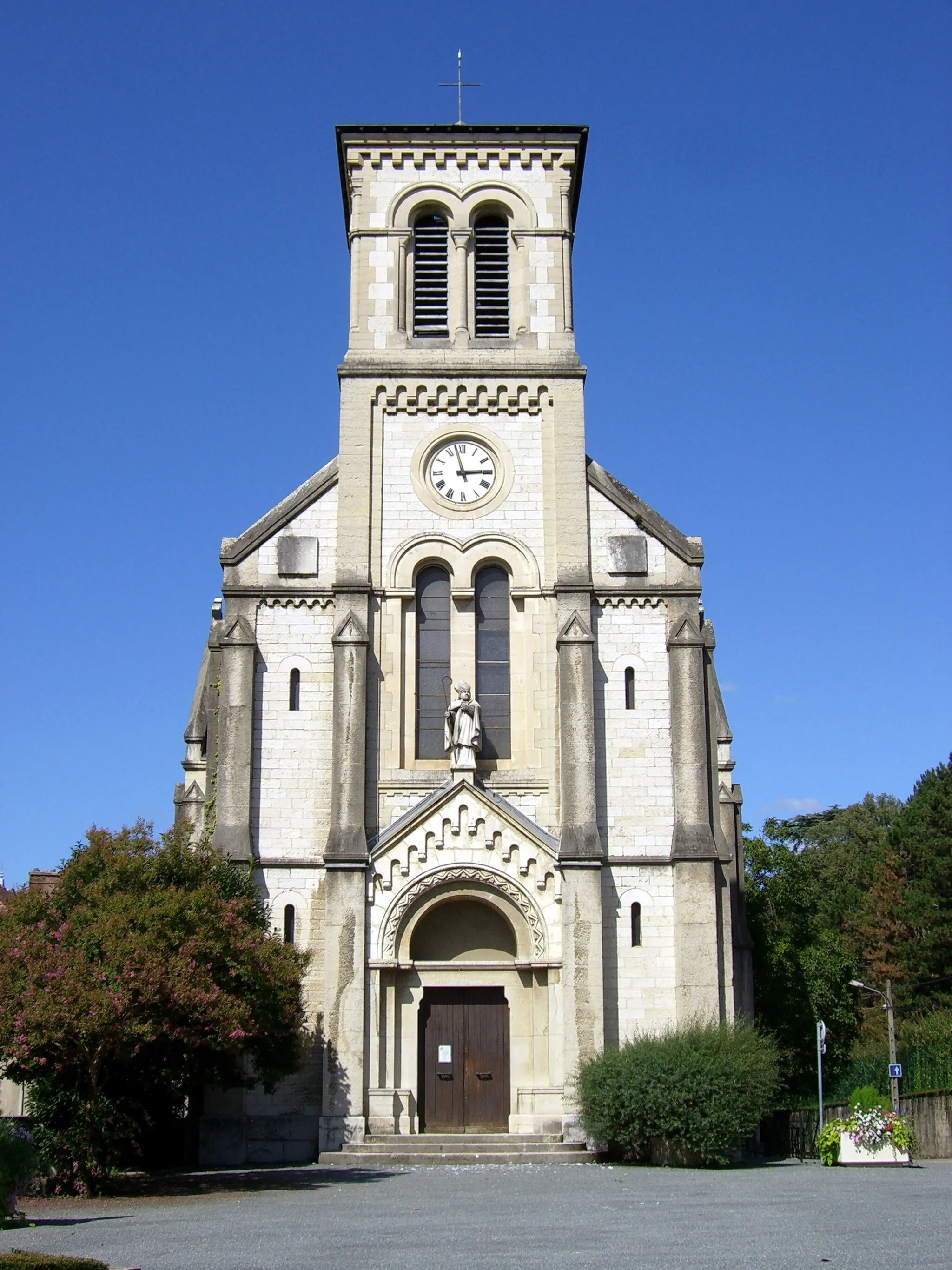
Lans-en-VercorsVillageExperience the beauty of Lans-en-Vercors, a charming village surrounded by picturesque scenery and verdant landscapes.
54 km
54 km
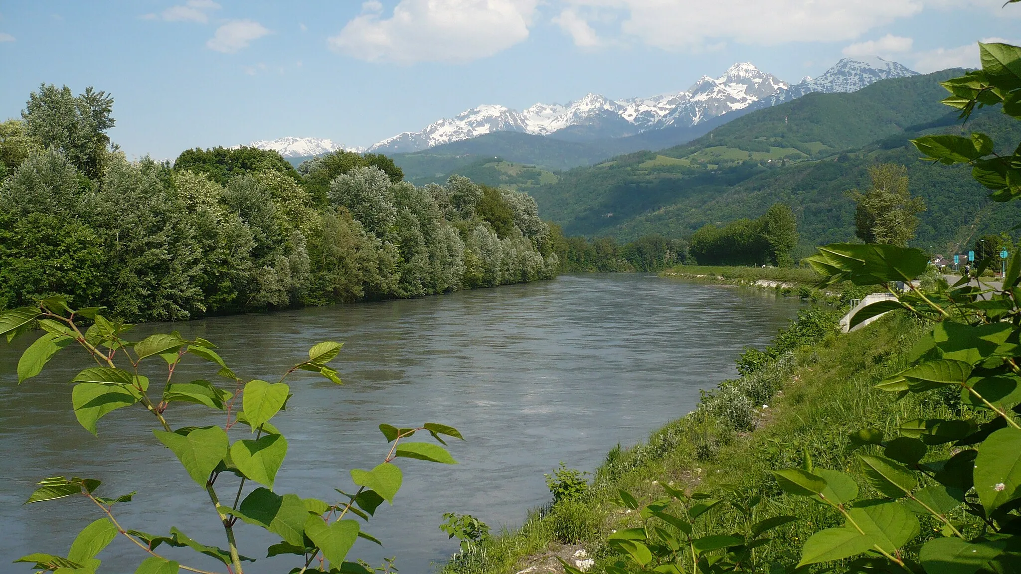
Saint-Martin-le-VinouxVillageDiscover Saint-Martin-le-Vinoux, a peaceful village with a rich history and beautiful natural surroundings.
60 km
60 km
Finish: La Tronche Village centerLa Tronche: Cycling paradise in the Rhône-Alpes region of France
Cycling routes from La Tronche:
Grenoble Adventure Grenoble Gravel Explorer La Tronche to Saint-Martin-d'Hères Loop Gravel Adventure to Le Sappey-en-Chartreuse The Epic Alps Challenge Gravel Tour through Villard-Bonnot and Froges Challenging Gravel Ride to Corenc Mont Jalla Explorer The Chartreuse Challenge Meylan to Chartreuse de Prémol Loop La Tronche Gravel Adventure La Tronche Gravel Challenge
Cycling routes nearby: