The Splendor of the Aravis Range
A road cycling route starting from Taninges
Explore the beauty of the Aravis Range on this scenic road cycling route
Map
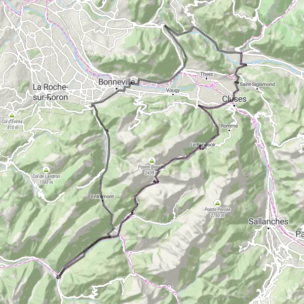
Immerse yourself in the natural beauty of the Aravis Range with this road cycling route. Spanning 108 km and featuring a total ascent of 2505 meters, this route offers a mix of challenging climbs and breathtaking views. Highlights include the charming village of Le Reposoir, the famous Col de la Colombière, and the picturesque town of Saint-Jean-de-Sixt. Marvel at the rugged mountain peaks, lush green valleys, and traditional alpine architecture along the way. This is a must-do route for cyclists seeking a scenic and challenging adventure in the heart of the Rhône-Alpes region.
road
108 km
2505 m
Tough
Route profile
Highlights on the route
0 km
0 km
Start: Taninges Village centerTaninges: Experience cycling paradise with iconic climbs in the stunning Rhône-Alpes region.
Taninges, located in Rhône-Alpes, France, offers a paradise for road and gravel cyclists. The area is surrounded by stunning mountains and iconic climbs such as Col de Joux Plane and Col de la Ramaz. The challenging ascents attract professional riders and enthusiasts. Additionally, the nearby Haute-Savoie region provides numerous opportunities for adventurous cycling, thanks to its scenic routes, beautiful valleys, and charming villages. Cyclists visiting Taninges can enjoy the thrill of conquering legendary climbs amidst breathtaking alpine landscapes.8 km
8 km
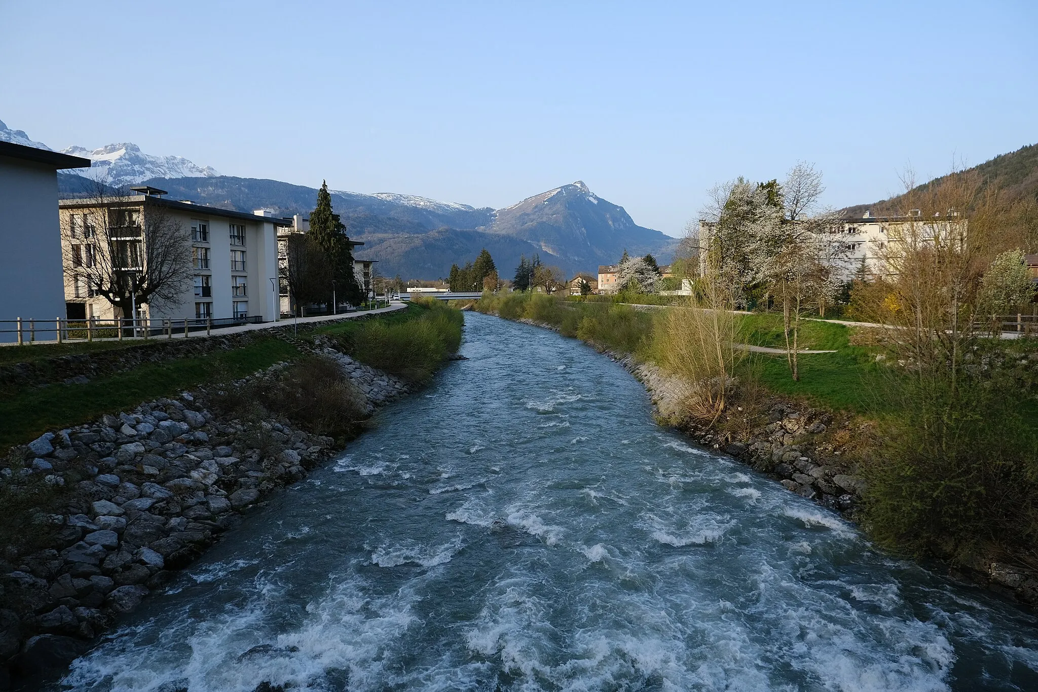
ClusesTownCluses - a bustling town known for its annual cycling race, the Critérium du Dauphiné.
20 km
20 km
Le ReposoirVillageLe Reposoir - a small village with a historic abbey and stunning views of the surrounding mountains.
27 km
27 km
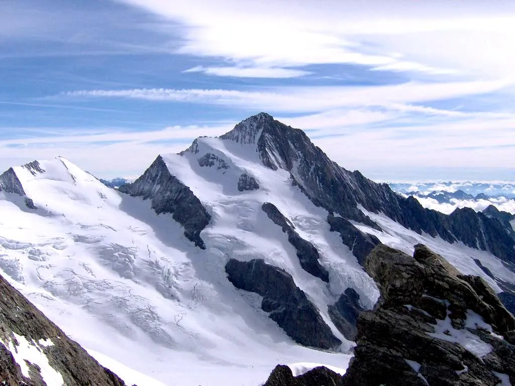
Col de la Colombière1613 mMountain PassCol de la Colombière - a classic climb often featured in the Tour de France, offering breathtaking vistas at the summit.
41 km
41 km
Col de St Jean de Sixt956 mMountain PassCol de St Jean de Sixt - a challenging climb with rewarding views of the Aravis Range.
41 km
41 km
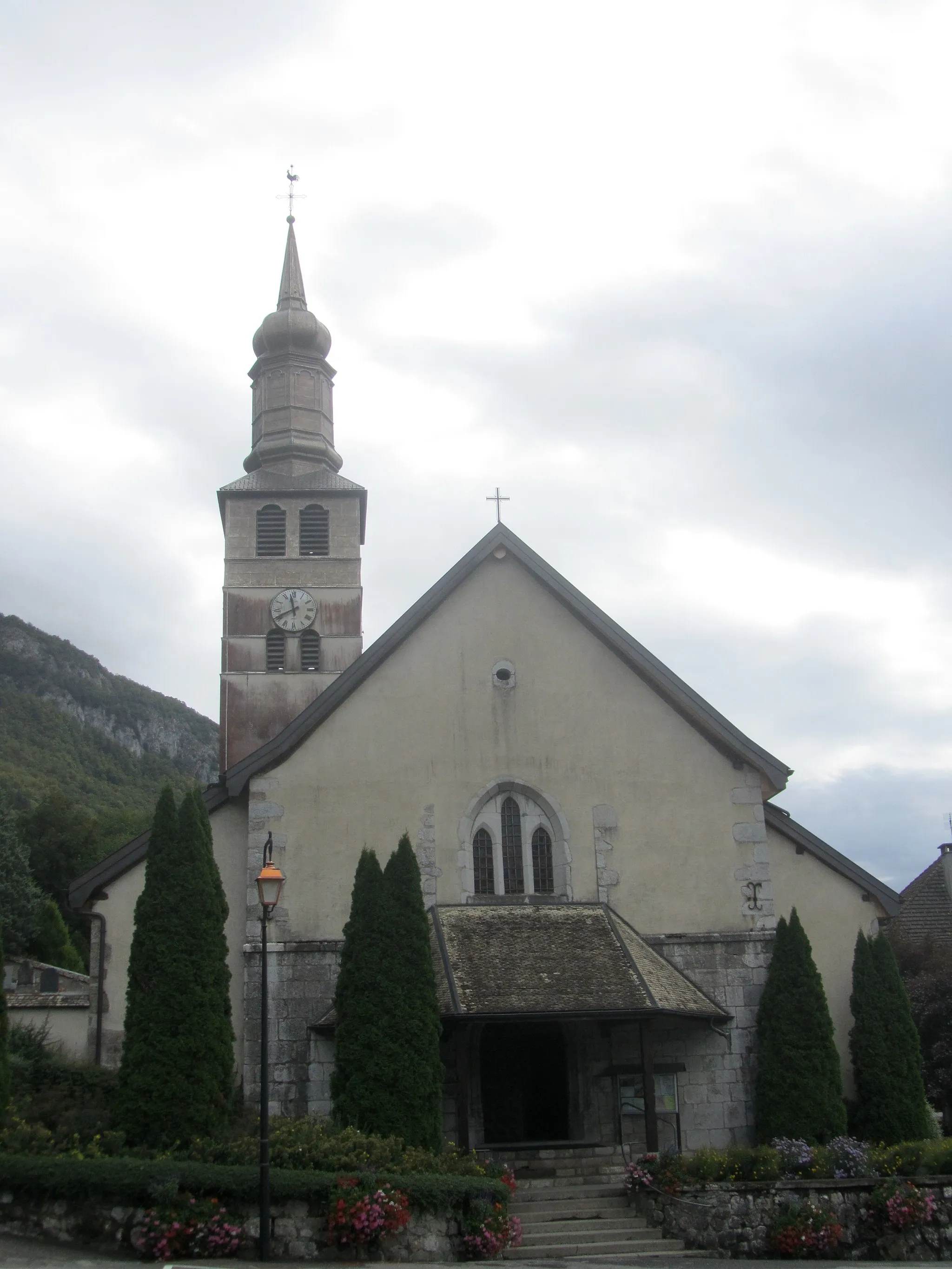
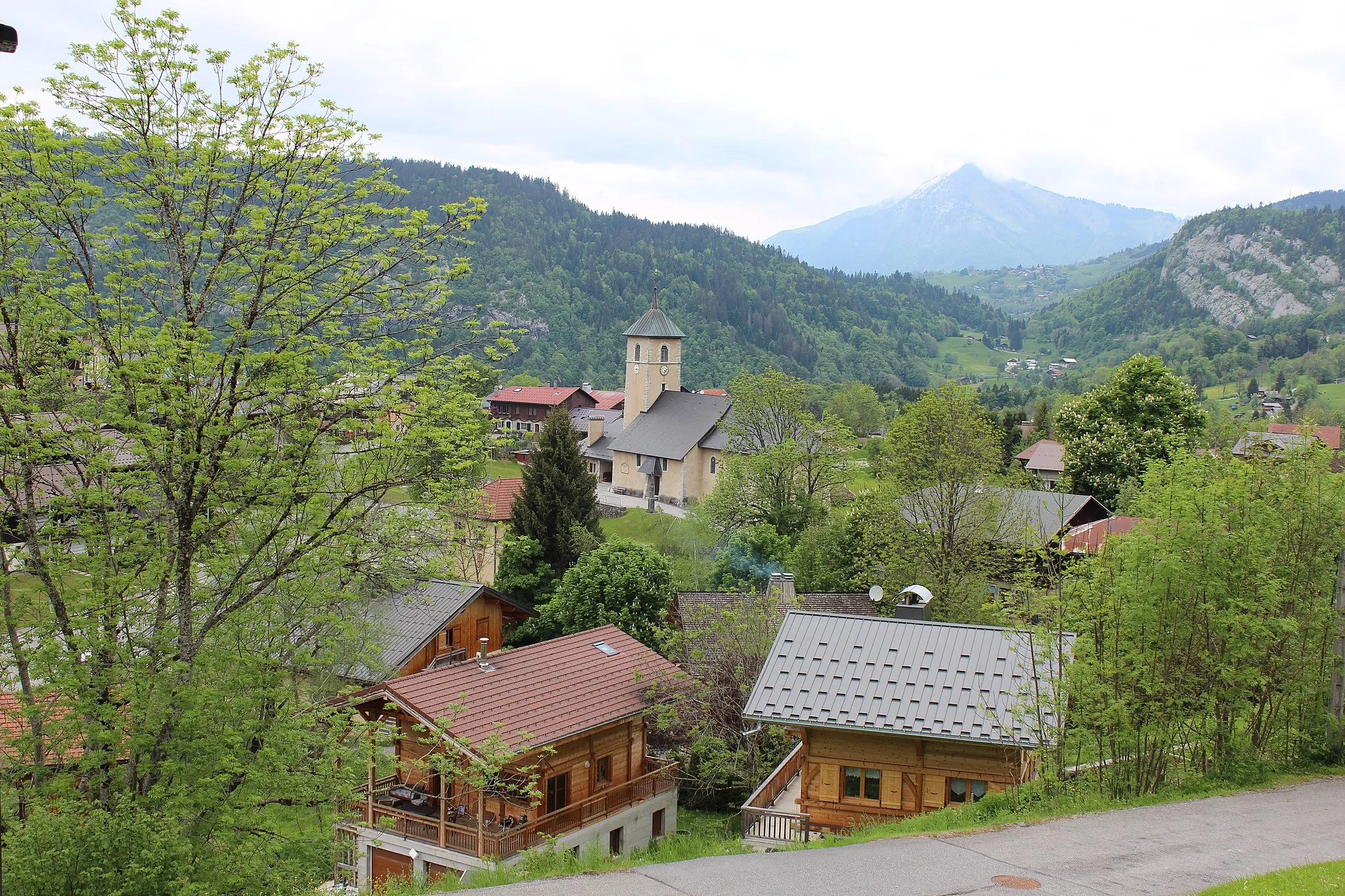
Saint-Jean-de-SixtVillageSaint-Jean-de-Sixt - a picturesque village known for its traditional alpine architecture and friendly atmosphere.
56 km
56 km
Les Villards-sur-ThônesVillageLes Villards-sur-Thônes - a charming mountain hamlet surrounded by idyllic landscapes and scenic trails.
82 km
82 km
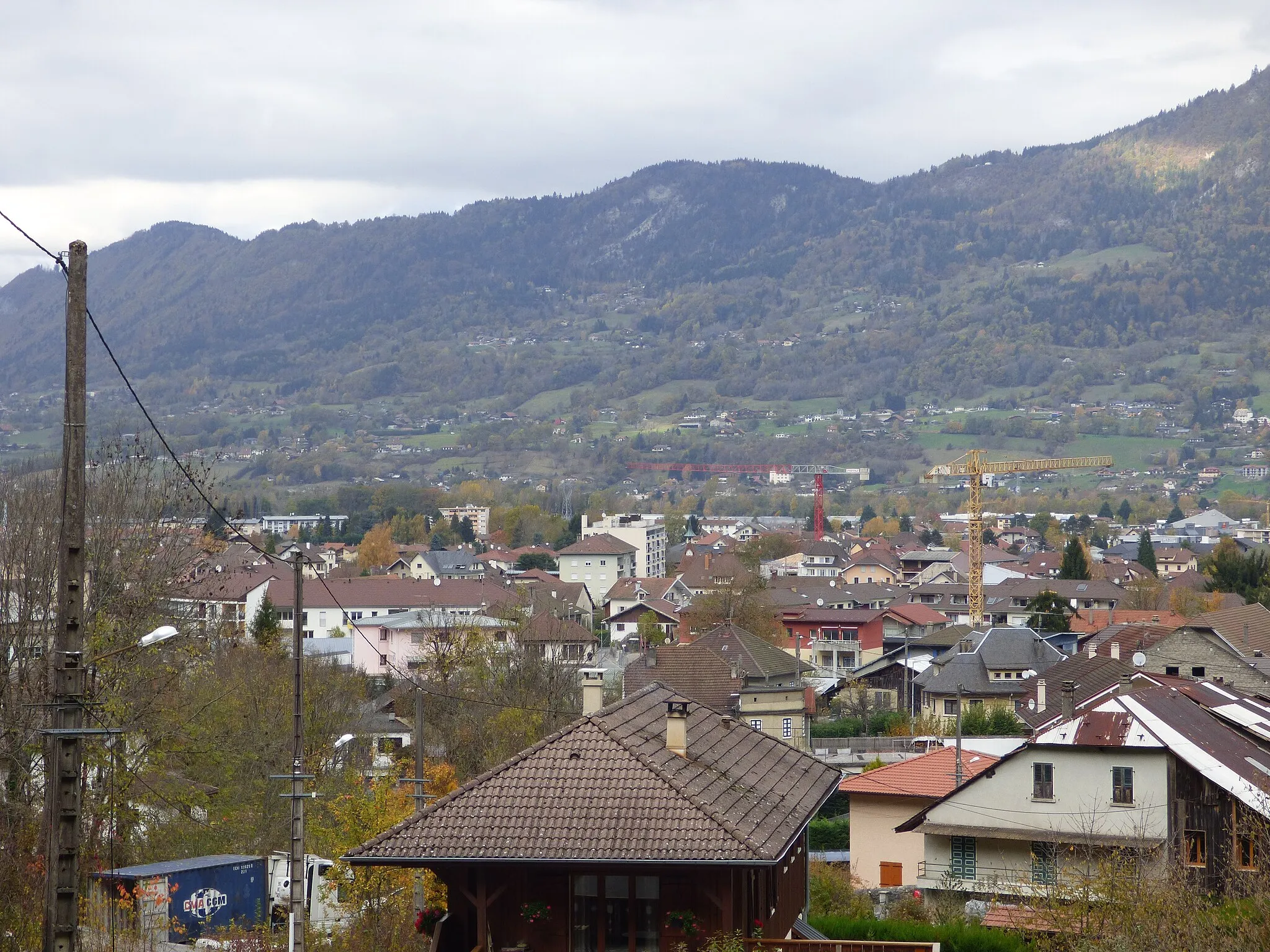
BonnevilleTownBonneville - a historic town with a charming old town area and a lively weekly market.
97 km
97 km
Château Vieux614 mPeakChâteau Vieux - a medieval castle offering panoramic views of the surrounding countryside.
102 km
102 km
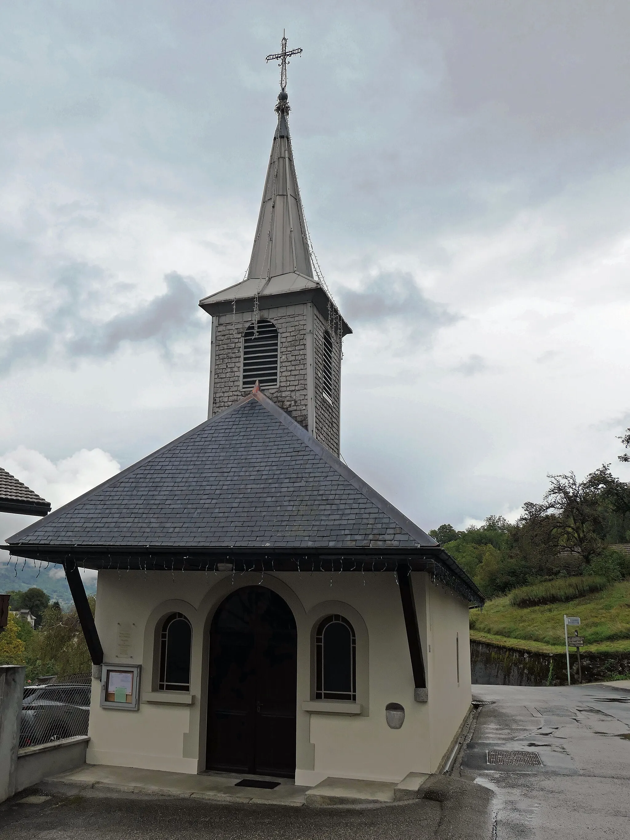
MieussyVillageMieussy - a quaint village known as the birthplace of paragliding, with stunning scenery ideal for outdoor activities.
108 km
108 km
Finish: Taninges Village centerTaninges: Experience cycling paradise with iconic climbs in the stunning Rhône-Alpes region.
Cycling routes nearby: