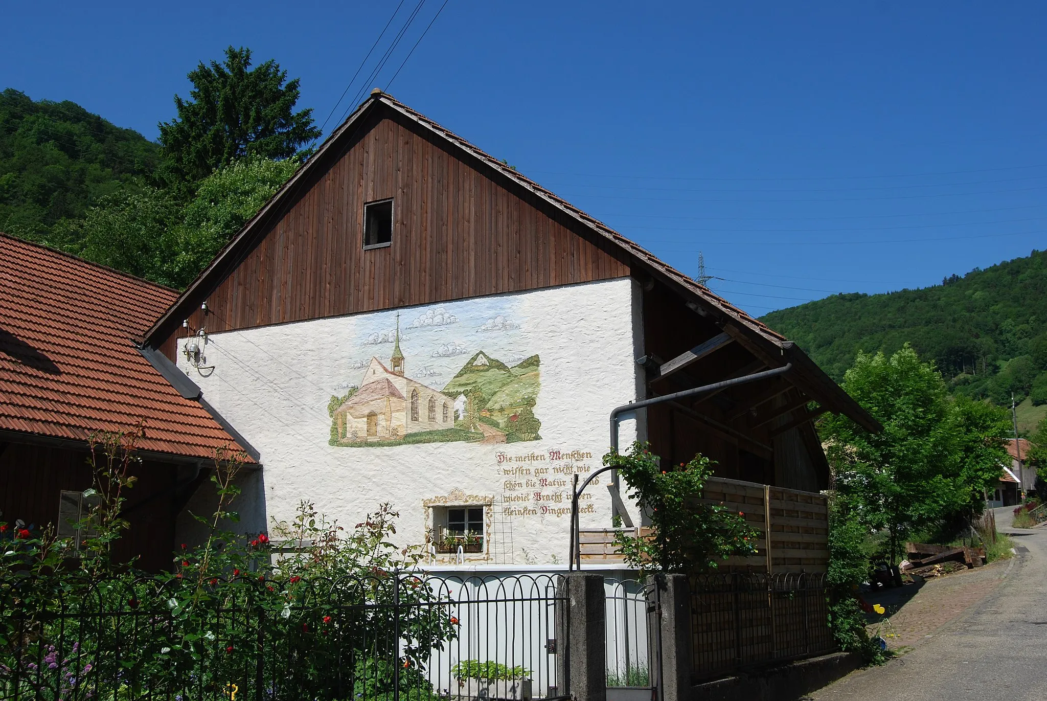
Beautiful countryside and diverse cycling routes in Vourey.
Cycling routes from Vourey
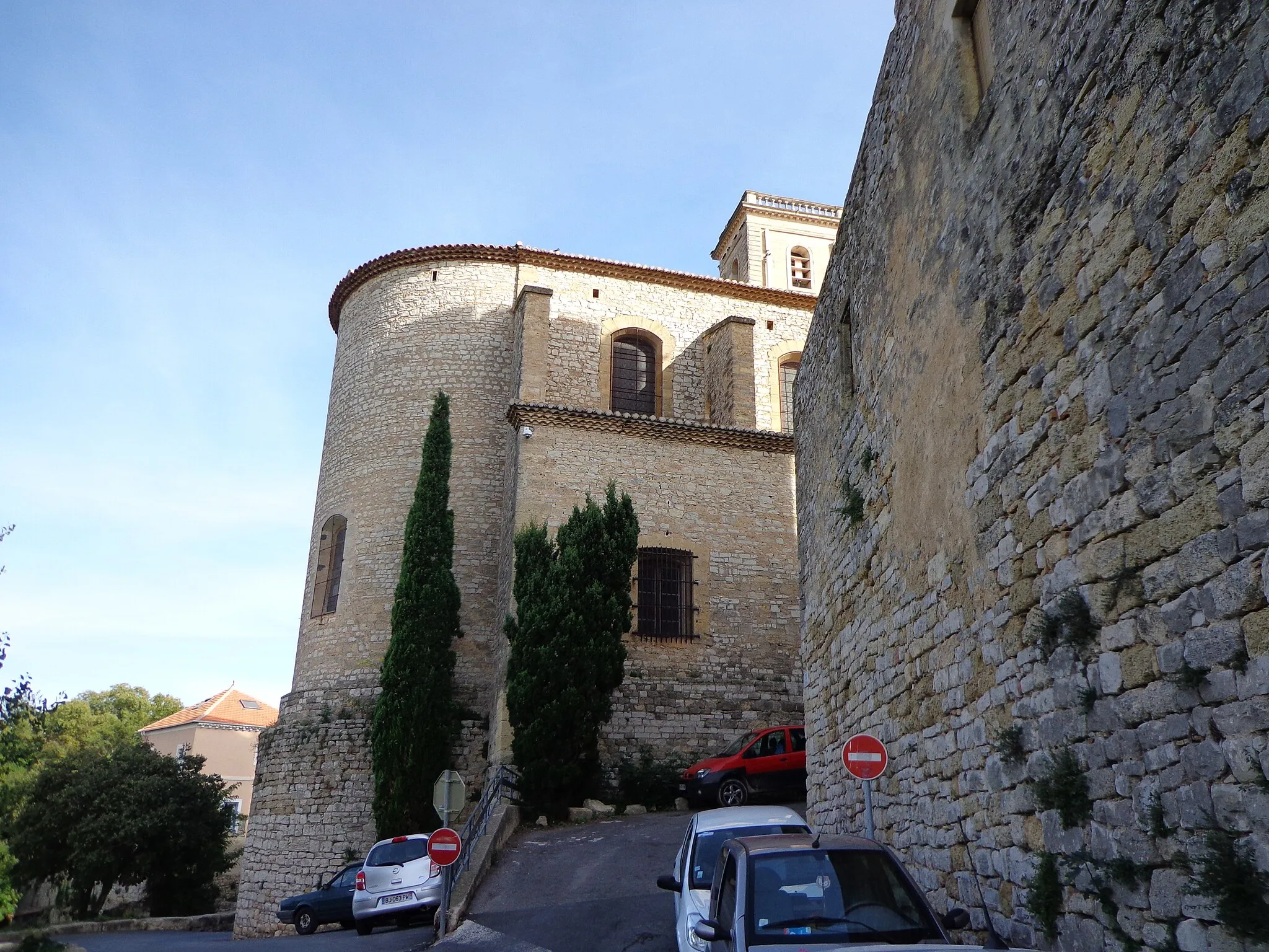
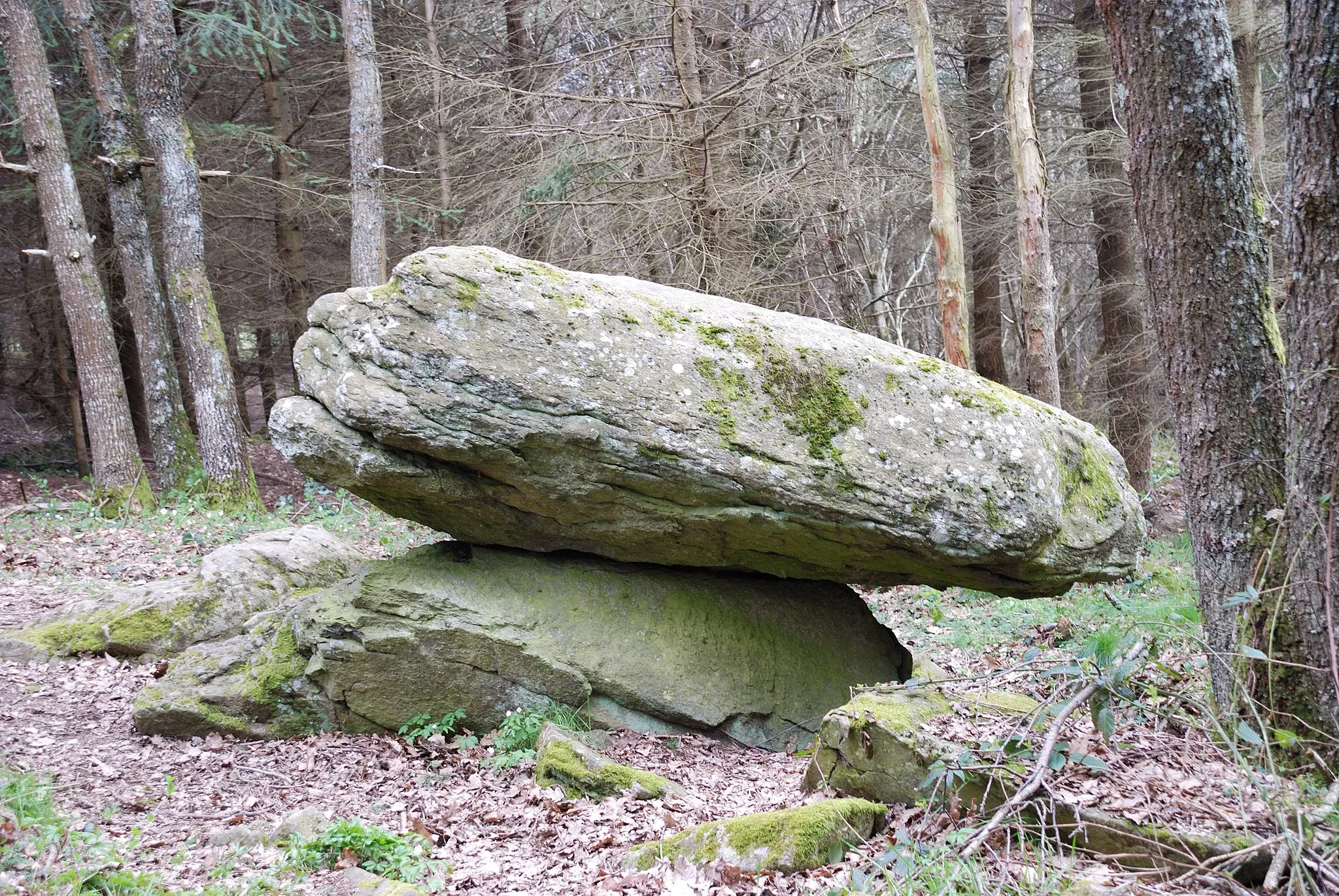
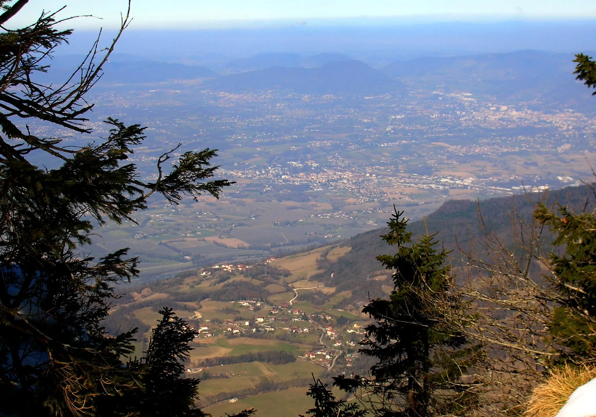
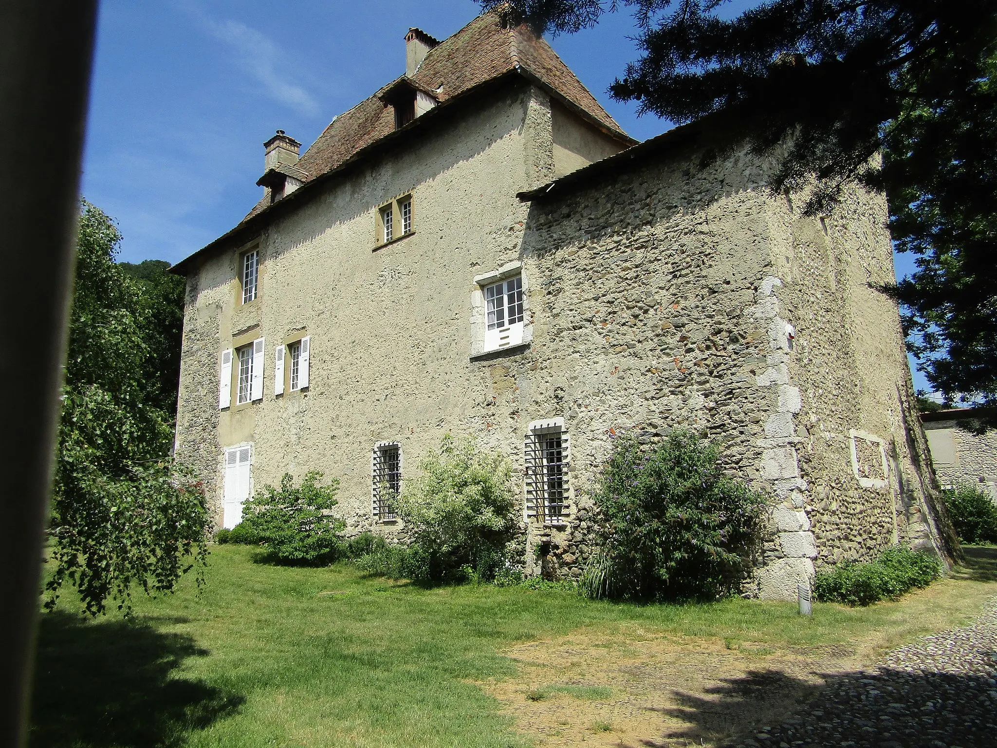
Vourey, situated in the Rhône-Alpes region of France, offers a mix of road and gravel cycling routes through beautiful countryside. The locality features well-paved roads that wind through gentle hills and charming villages, providing scenic views along the way. Road cyclists can enjoy leisurely rides or challenge themselves with more demanding climbs, such as the nearby Col de la Croix de l'Œillon. Gravel cyclists can explore the surrounding peaceful countryside, discovering off-road trails and paths for an adventurous ride. With its breathtaking landscapes and diverse cycling routes, Vourey is a must-visit destination for cyclists.
Embark on a scenic road cycling adventure near Vourey and soak in the breathtaking views of the countryside.
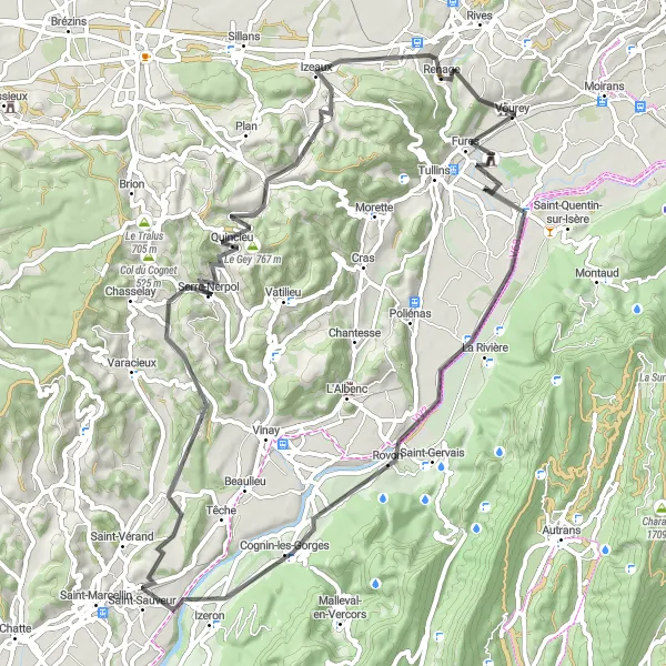
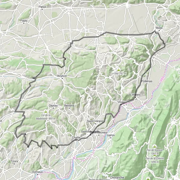
The Scenic Road Cycling Adventure near Vourey covers a total distance of 75 km and offers an ascent of 1021 meters. Immerse yourself in the natural beauty of Cognin-les-Gorges, Serre-Nerpol, and Izeaux with their stunning landscapes and picturesque charm. Vourey itself acts as the starting and endpoint for this captivating adventure.
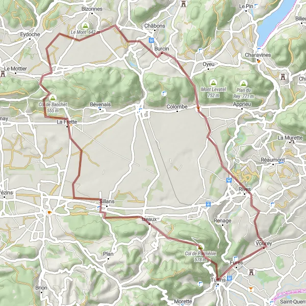
Gravel Adventure to Vourey
Embark on a thrilling gravel adventure and discover the hidden gems surrounding Vourey.
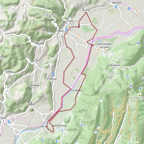
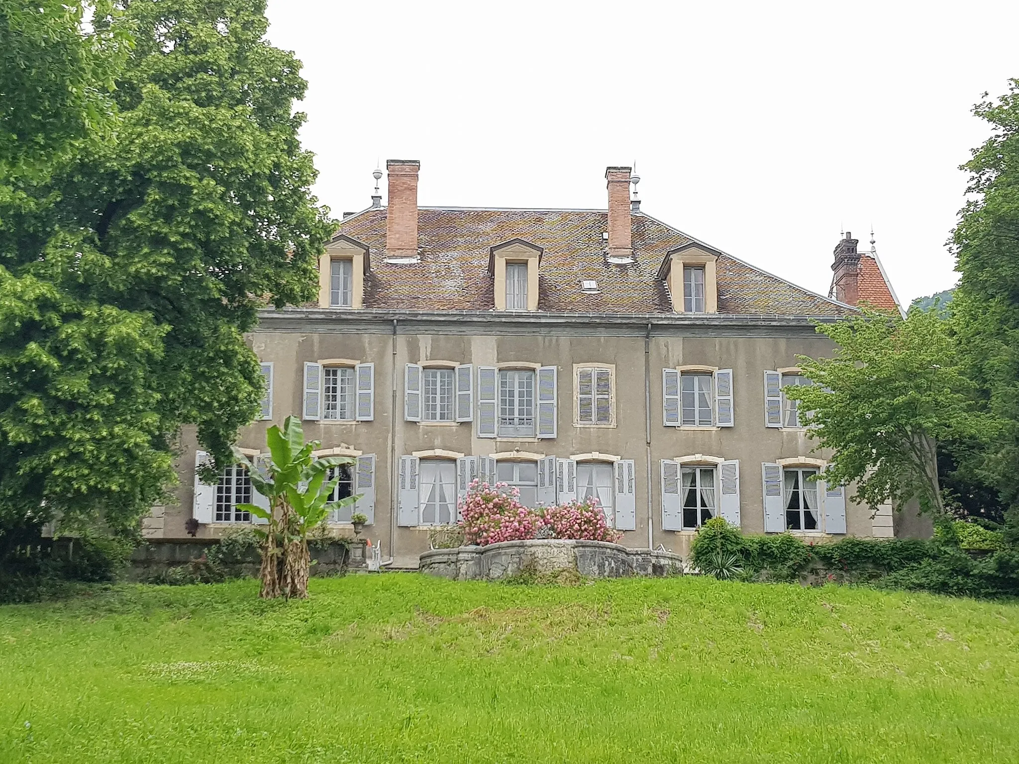
The Gravel Adventure to Vourey is a shorter, but equally captivating, cycling route spanning 38 km and an ascent of 121 meters. Explore La Rivière and Rovon, two charming villages nestled in the picturesque countryside. Discover Vourey, a hidden gem with its own unique allure and natural beauty.
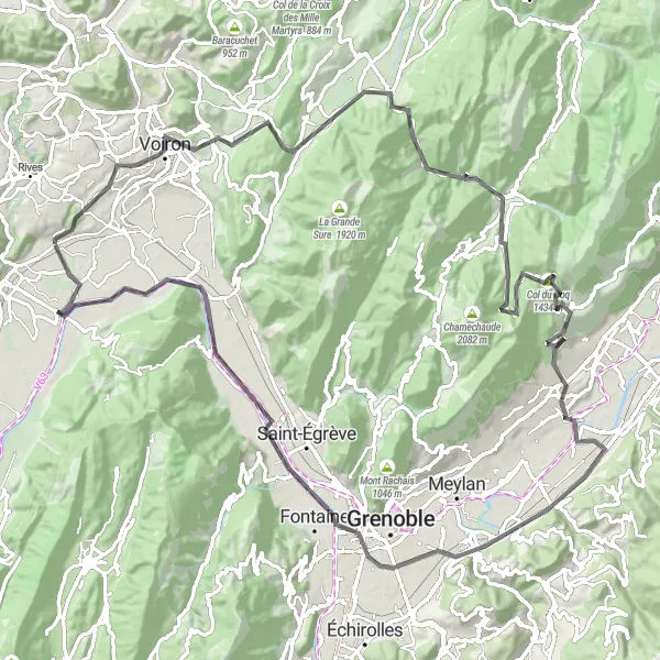
Embark on a thrilling cycling adventure through the challenging mountains of Rhône-Alpes and witness the sheer beauty of the region.
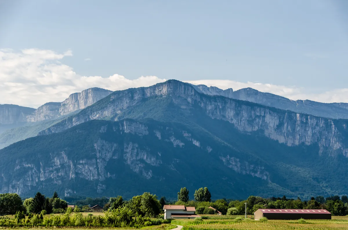
The Challenging Mountains of Rhône-Alpes is designed to push cyclists to their limits, offering a total distance of 109 km and an ascent of 2264 meters. Be prepared to conquer some of the toughest climbs in the region, including Col de la Croix Bayard, Saint-Étienne-de-Crossey, Porte de l'Enclos, Saint-Pierre-de-Chartreuse, Bec Charvet, Saint-Nazaire-les-Eymes, Molard, Fontaine, Veurey-Voroize, and Bec de l'Échaillon. Each one of these highlights offers its own unique charm and scenic beauty.
Gravel Adventure in Vourey
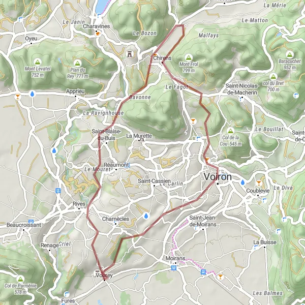
Embark on a thrilling gravel adventure near Vourey and explore off-the-beaten-path routes
Get ready for an adrenaline-filled gravel adventure near Vourey! This 35 km route offers a combination of challenging terrain and stunning views. With an ascent of 543 m, it provides a moderate challenge, suitable for gravel cycling enthusiasts. Along the way, you'll discover hidden gems and experience the thrill of venturing off the beaten path.
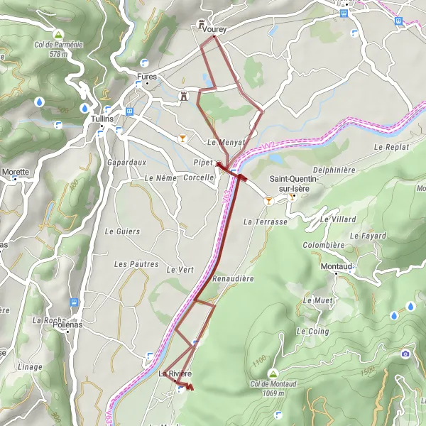
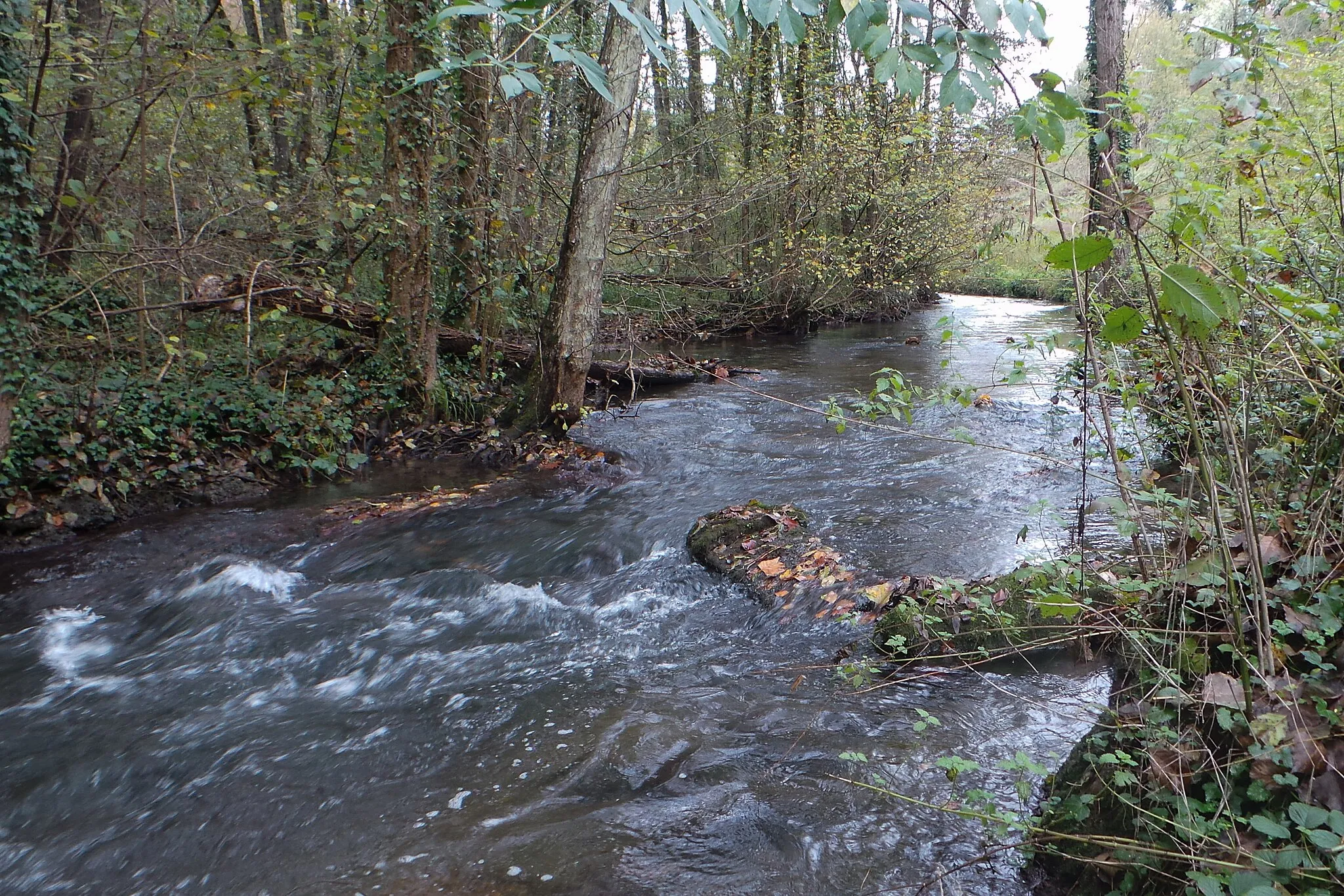
Explore the countryside and visit the charming village of Vourey on this scenic gravel route
Discover the beauty of the Vourey countryside and immerse yourself in the peaceful atmosphere of the village. With a distance of 26 km and an ascent of 120 m, this gravel route offers a leisurely ride suitable for all skill levels. Take in the scenic landscapes and make a stop at the enchanting village of Vourey, where you can explore its historic buildings and enjoy the local culture.
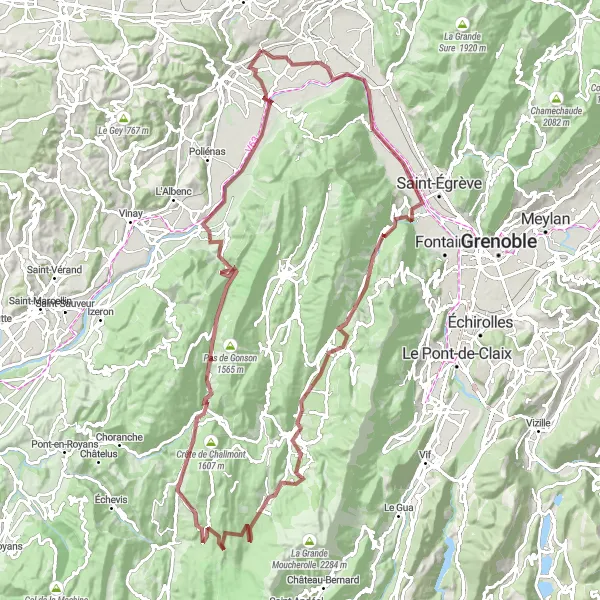
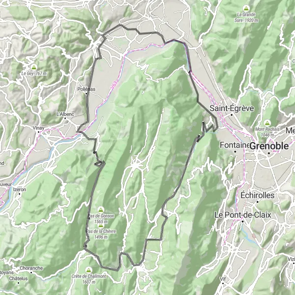
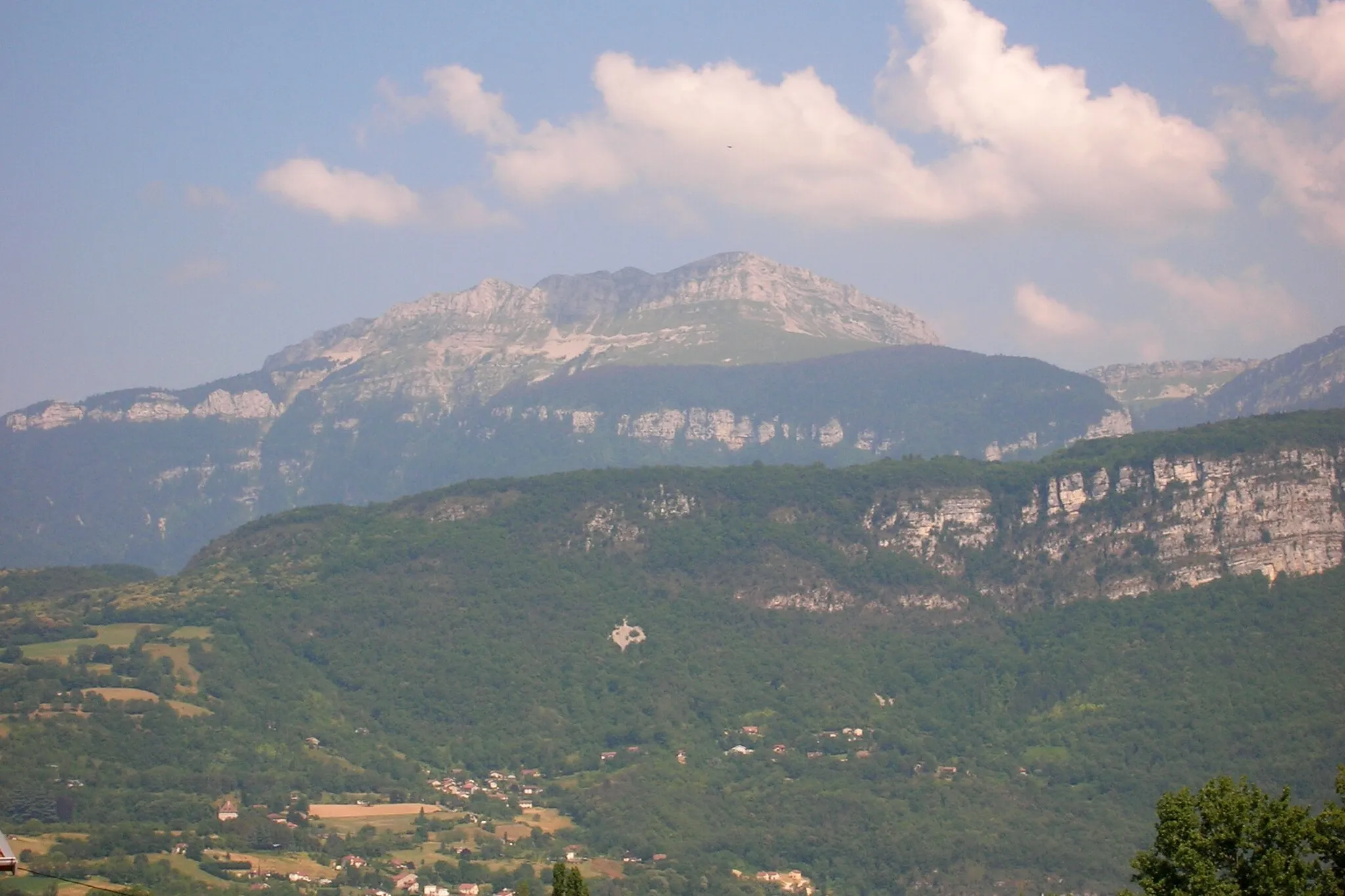
A challenging gravel route from Vourey through the stunning Vercors region
This gravel cycling route takes you on a challenging adventure through the beautiful Vercors region. With a total distance of 114 kilometers and an ascent of 2462 meters, this epic route will test your endurance and provide breathtaking views along the way. Explore picturesque villages, ride through dense forests, and conquer the famous Col de Romeyère. The route ends back in Vourey, giving you a sense of achievement for completing this epic cycling journey.
Test your climbing skills on Col de Parménie and enjoy beautiful mountain views along the way
This challenging gravel route takes you on a climbing adventure up the iconic Col de Parménie. With a total distance of 56 km and an ascent of 800 m, it requires a good level of fitness and climbing skills. As you conquer the col, you'll be rewarded with breathtaking views of the surrounding mountains and enjoy the thrill of pushing your limits.
Conquer the legendary climbs and breathtaking landscapes of the Alps on this epic road cycling route
Are you ready for the ultimate cycling challenge? This road cycling route near Vourey will lead you through some of the most legendary climbs of the French Alps. With a distance of 94 km and an ascent of 2295 m, it is not for the faint-hearted. Be prepared to push your limits and experience the thrill of conquering challenging ascents and soaking in breathtaking mountain views.
Experience the scenic countryside and charming towns on this road cycling route near Vourey
The Vourey Circuit is a picturesque road cycling route that takes you through beautiful countryside and charming towns near Vourey, Rhône-Alpes. With a total distance of 115 km and an ascent of 1496 m, this route offers a challenging yet rewarding experience. The highlights along the route add an extra touch of interest and provide opportunities to explore some unique attractions.
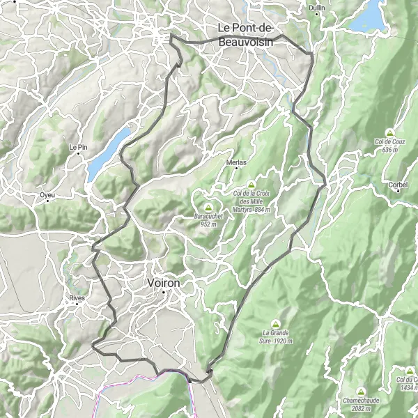
Embark on a scenic adventure through picturesque landscapes and conquer the challenging climbs of the Vourey Loop.
The Vourey Loop is a demanding cycling route suitable for highly trained cyclists. Clocking in at 90 km and an ascent of 1232 meters, it offers breathtaking views and thrilling downhill sections. Experience the beauty of Chirens, Col du Banchet, Pont-de-Beauvoisin, Entre-deux-Guiers, Col de la Placette, and Voreppe as highlights along the way.
Cycling routes nearby:

Nearby regions: